Get Lost Mountaineering
You are here: Scotland » 17 Islands » Mull
Beinn Fhada from Scarisdale River Bridge
Beinn Fhada from Scarisdale River Bridge
Start/Finish
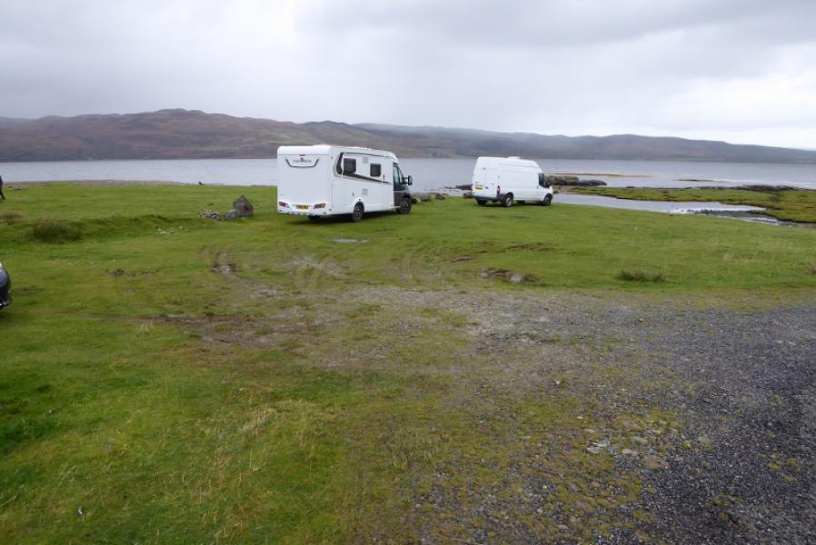
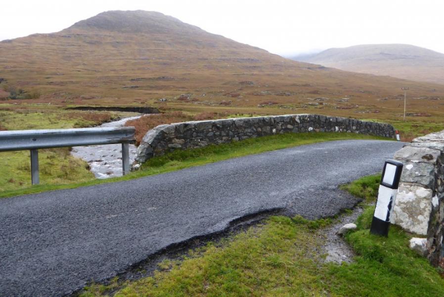
Rough grass verge parking on B8035 near bridge over the Scarisdale River at NM 517 376. This is about 6 miles from Salen. Be careful with parking in wet weather as some of the grass is very soft.
Distance/Time
11 km. About 5 – 6 hours.
Peaks
Beinn Fhada, 702 m, NM 540 349. OS sheet 48: Iona, Ulva & West Mull.
Introduction
Beinn Fhada lies to the north of Ben More yet few climb it despite it being a fine mountain in its own right. It can be climbed with Ben More by continuing over A' Chioch and up the narrow rocky north east ridge of Ben More then down the usual path to Dhiseig. Beinn Fhada, like many hills on Mull, is a bit of slog on its lower overgrown slopes but once above these it offers very pleasant ridge walking with excellent views. The SMC guide to the Grahams and Donalds refers to a scramble just below the summit but one wasn't noticed. The ascent is just a walk with occasional hands on rock for balance. The SMC also give an over optimistic time for the ascent, a common issue with this guide.
Route
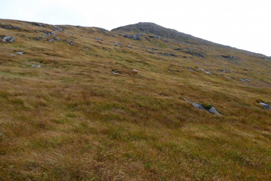
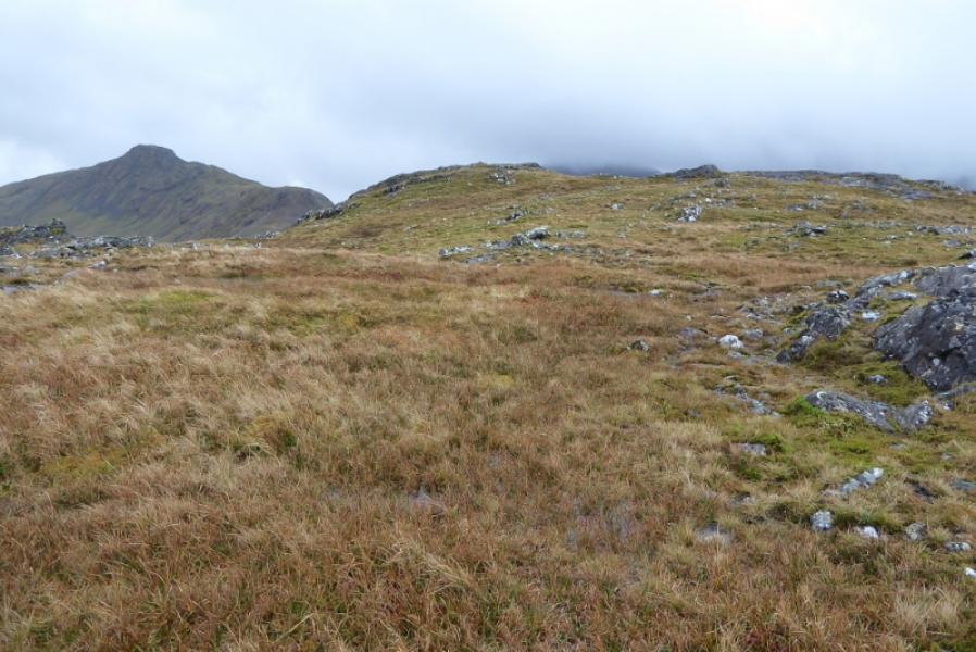
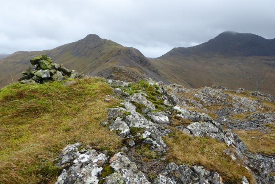
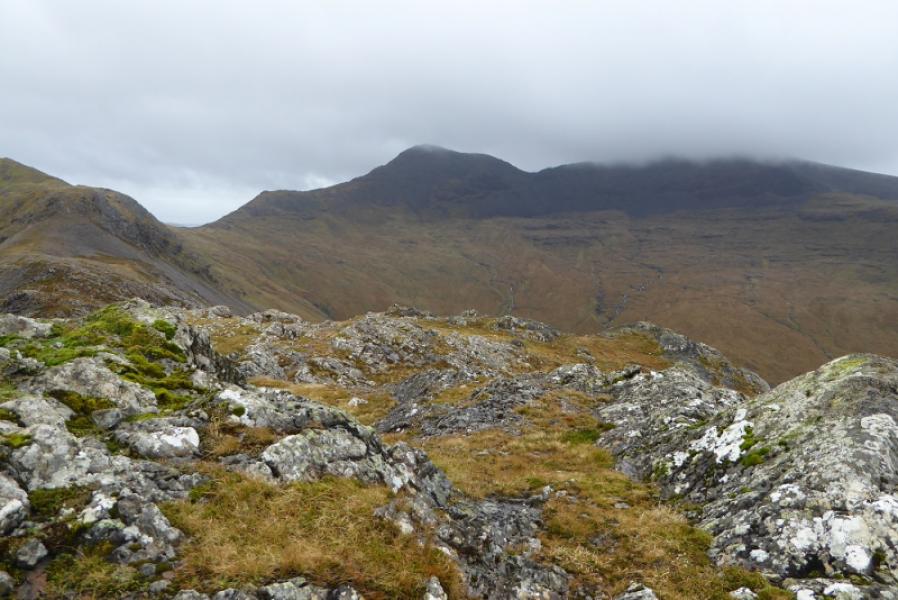
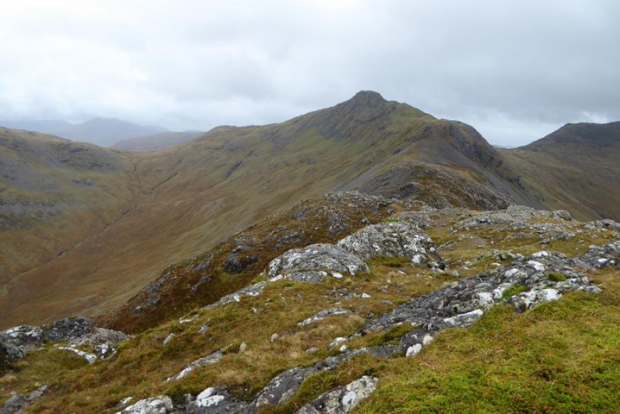
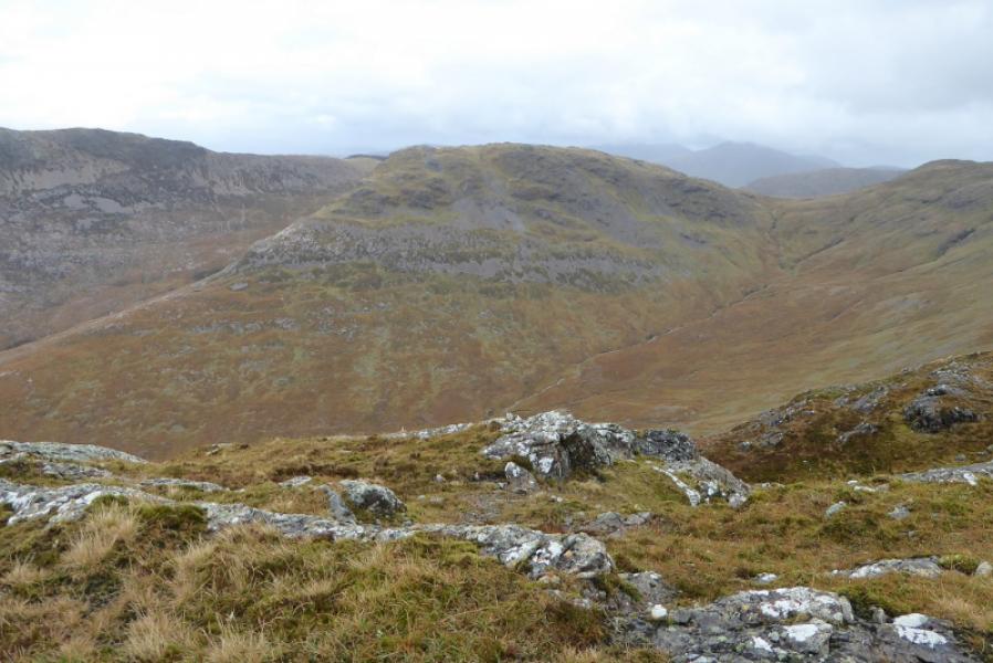
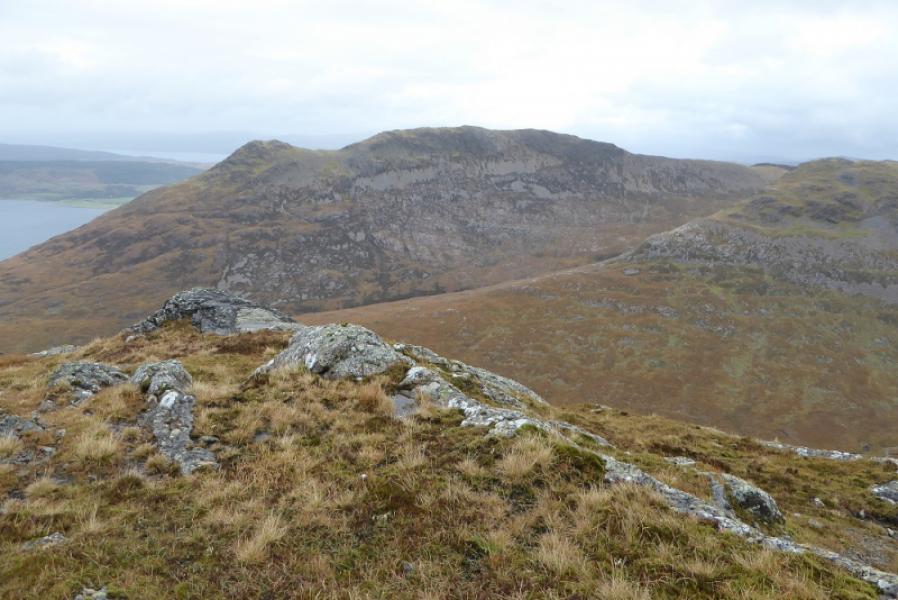
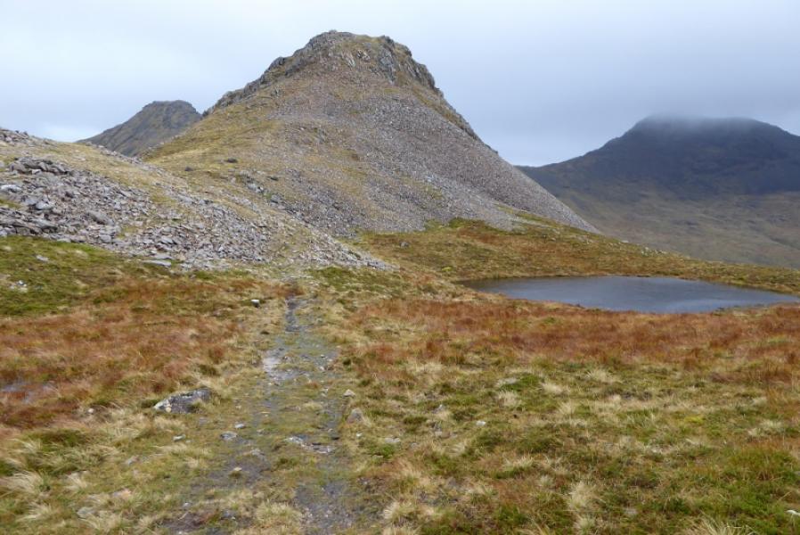
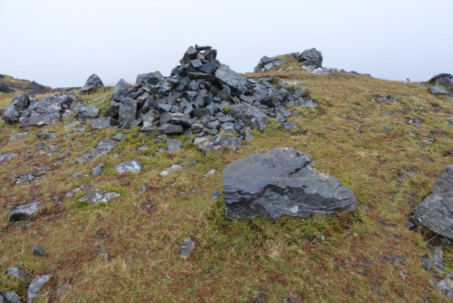
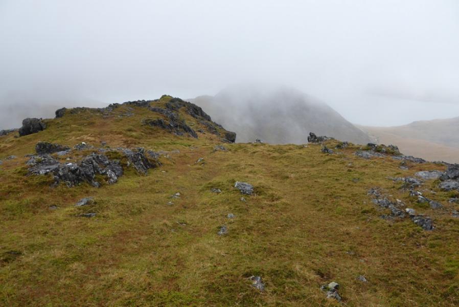
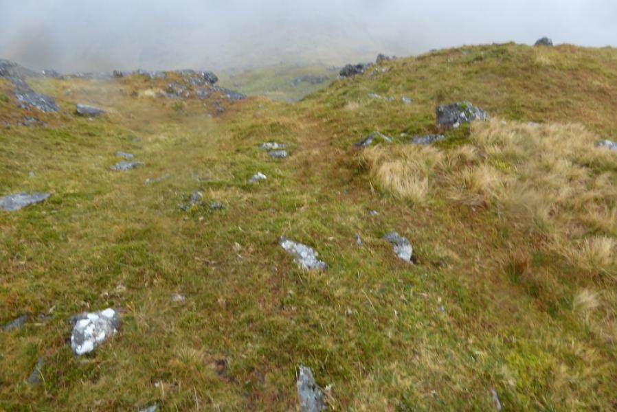
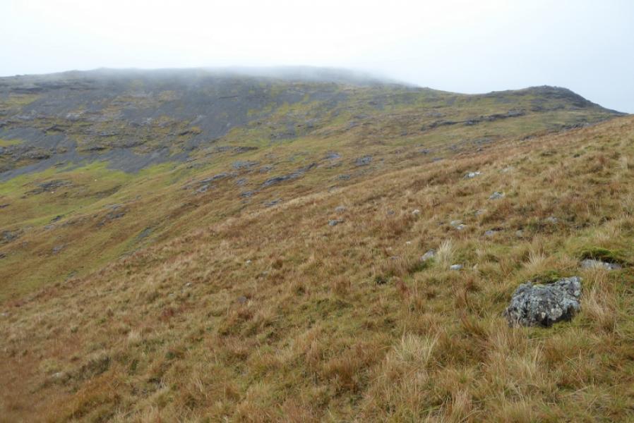
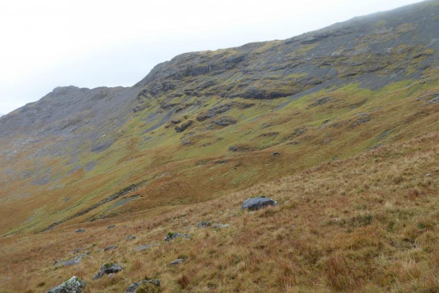
(1) From the bridge over the Scarisdale River, follow a faint and intermittent path, shadowing the river, and start ascending the obvious ridge which is the left ridge as seen from the road. The going is quite rough, wet and boggy until some height is gained after which a faint path gradually starts to appear. Pick a way up the ridge weaving around to avoid and rocky and craggy sections. When the angle eases, pass a small cairn then, soon after, reach a slightly larger cairn which is Pt 563. This is the highest point at the NW end of the ridge leading to Beinn Fhada summit. Descend SE from the cairn and continue along the obvious crest which is fairly level for some distance before climbing again just after passing a lochan on the right. The ascent is straightforward but one needs to weave around to avoid the numerous small crags, slabs and rock walls. An easy broad ridge is reached which leads to the foot of the final ascent to the summit. The easiext route here seems to be on the right and the path is now distinctive enough to take one that way and easily through the rocks after which an easy grassy ridge leads to a medium cairn which is the summit of Beinn Fhada, 702 m.
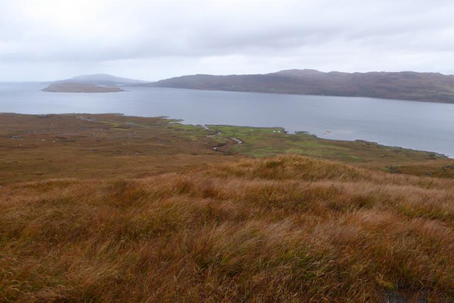
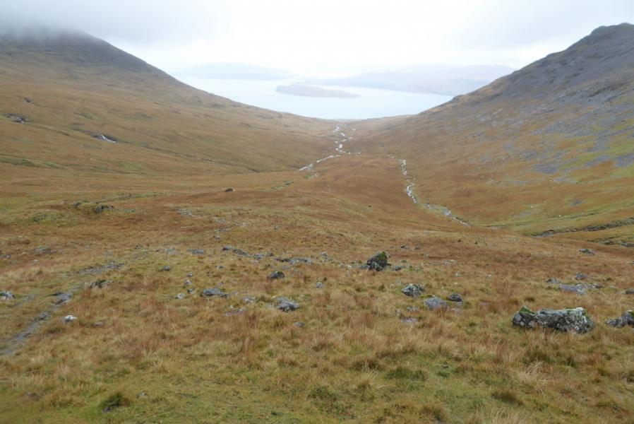
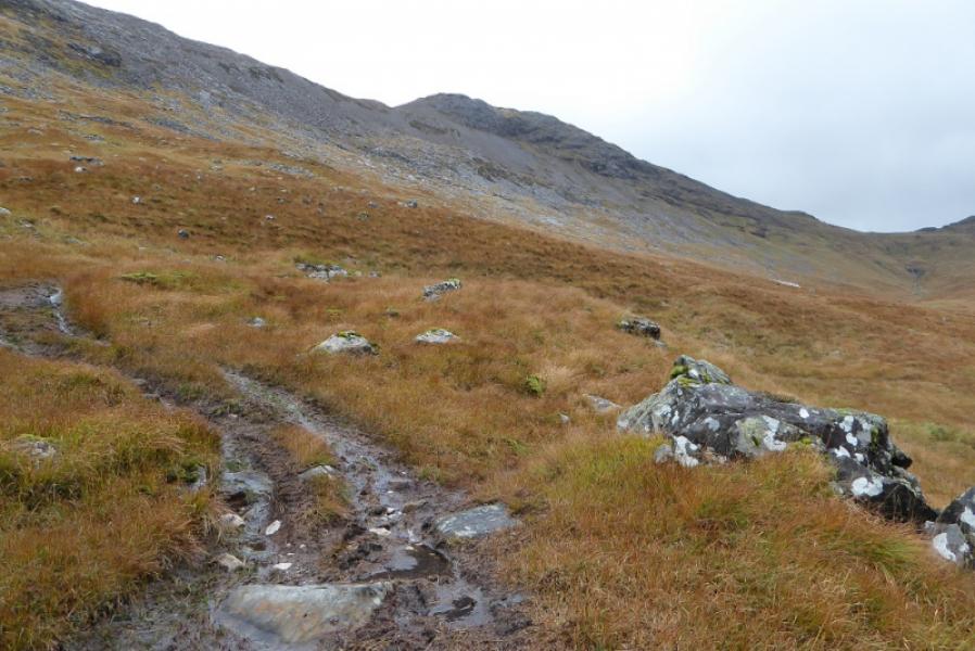
(2) The descent towards the col to A' Chioch is rocky to begin with so weave around for some slanting routes but the overall direction is roughly S. Once the rocky section is left behind, the going is much easier on gently sloping grassy ground. Gradually, turn NW and start heading down Gleann na Beinne Fada. Stay on the right of the main river which will mean only one easy tributary has to be crossed. The most obvious path seems to be an ATV track which can be quite wet and slippery so look around for a more recent track and continue down the glen. The track may fade at times but the direction is obvious. Eventually reach the road and walk NE for about 2 km to reach the start.
Notes
(a) This walk took place on 12th October, 2017. Ben Fhada was ascended in a horseshoe walk which continued to A' Chioch and Ben More on 18th February, 2007.
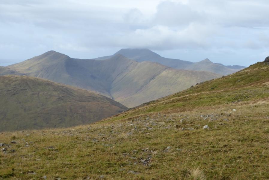
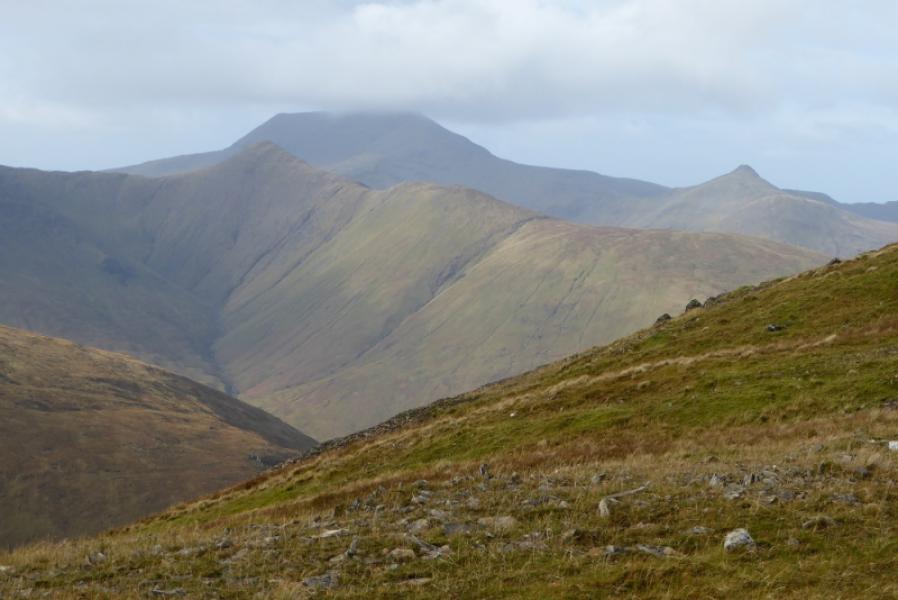
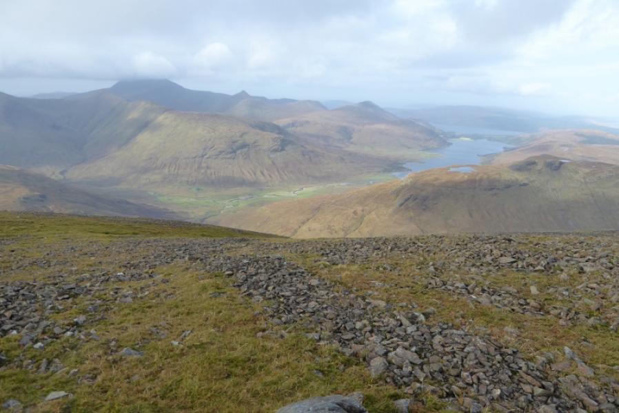
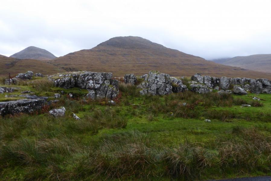
Photos - Hover over photo for caption. Click on to enlarge. Click on again to reduce.