Get Lost Mountaineering
You are here: Scotland » 04 Loch Leven and Loch Linnhe to Loch Ericht » Mamores to Corrour
Western Mamores: Stob Ban & Mullach nan Coirean from Glen Nevis
Western Mamores: Stob Ban & Mullach nan Coirean
from Glen Nevis
Start/Finish
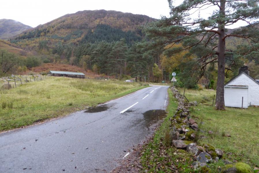
Lower Falls (pay) car park, Achriabhach, Glen Nevis at about NN 145 684. There is some limited free parking nearby.
Distance/Time
15 km. About 7 hours.
Peaks
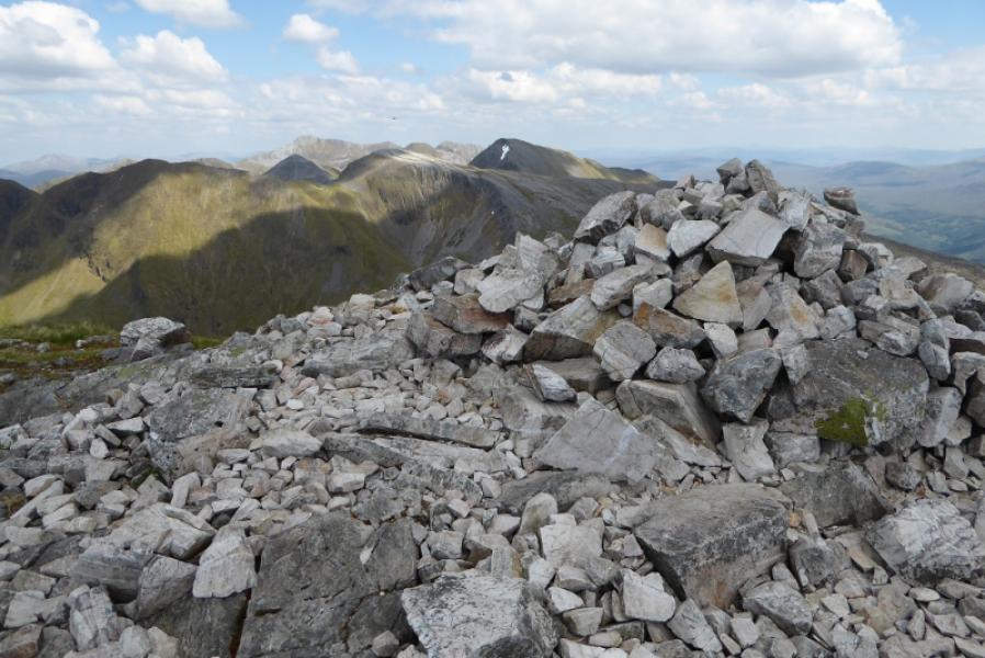
Stob Ban, 999 m, NN 147 654.
Mullach nan Coirean E Top, 916 m, approx NN 138 657.
Mullach nan Coirean SE Top, 917 m, NN 131 654.
Mullach nan Coirean, 939 m, NN 122 662. OS Sheet 41.
Introduction
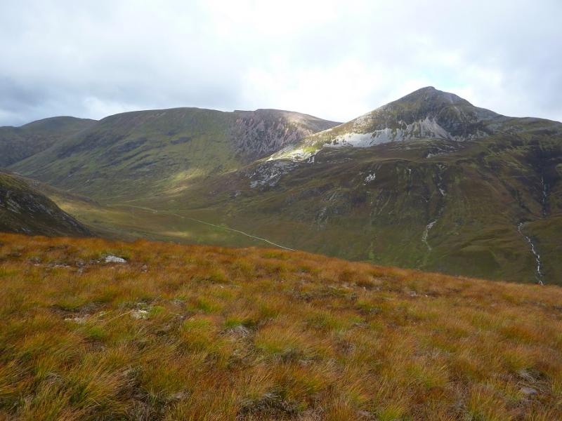
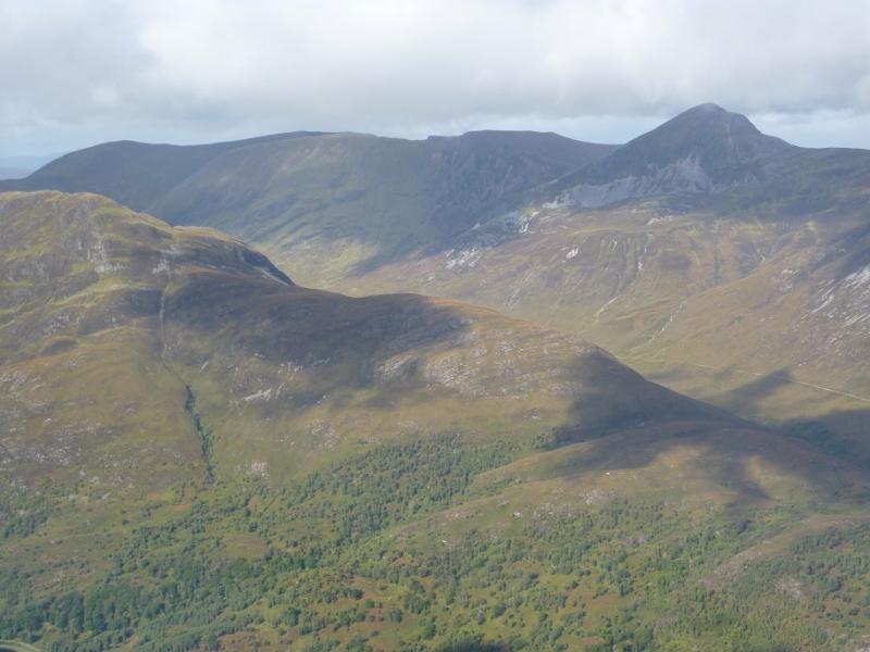
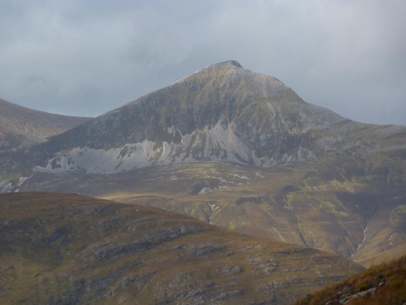
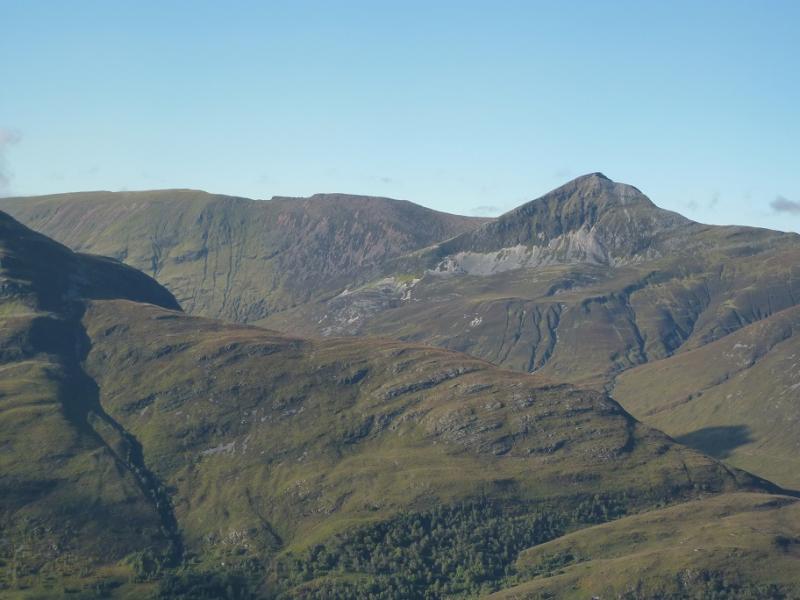
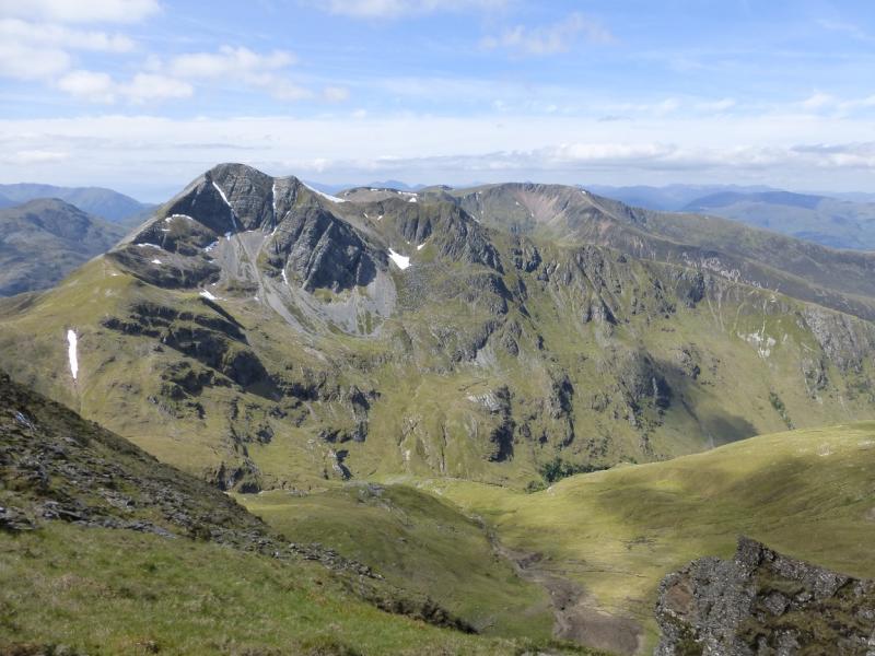
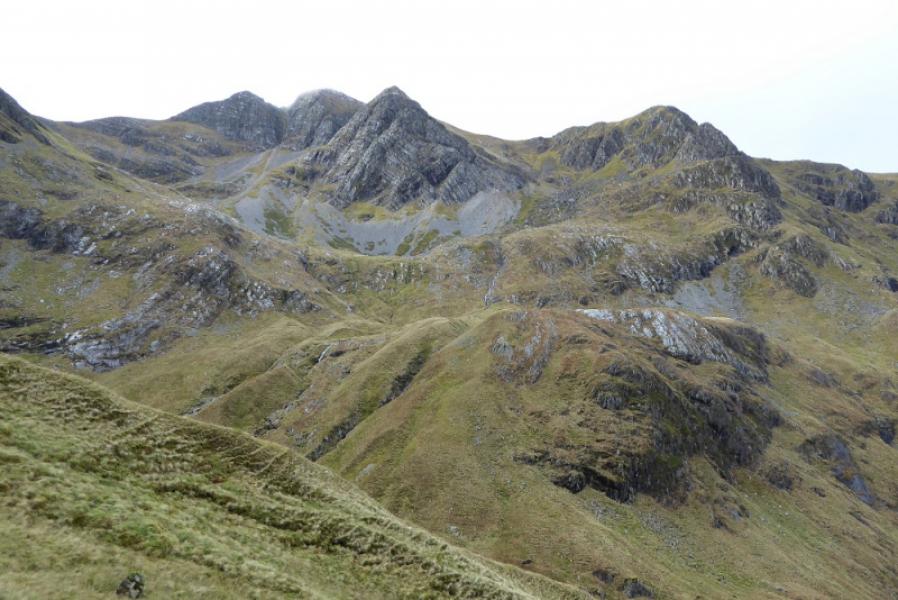
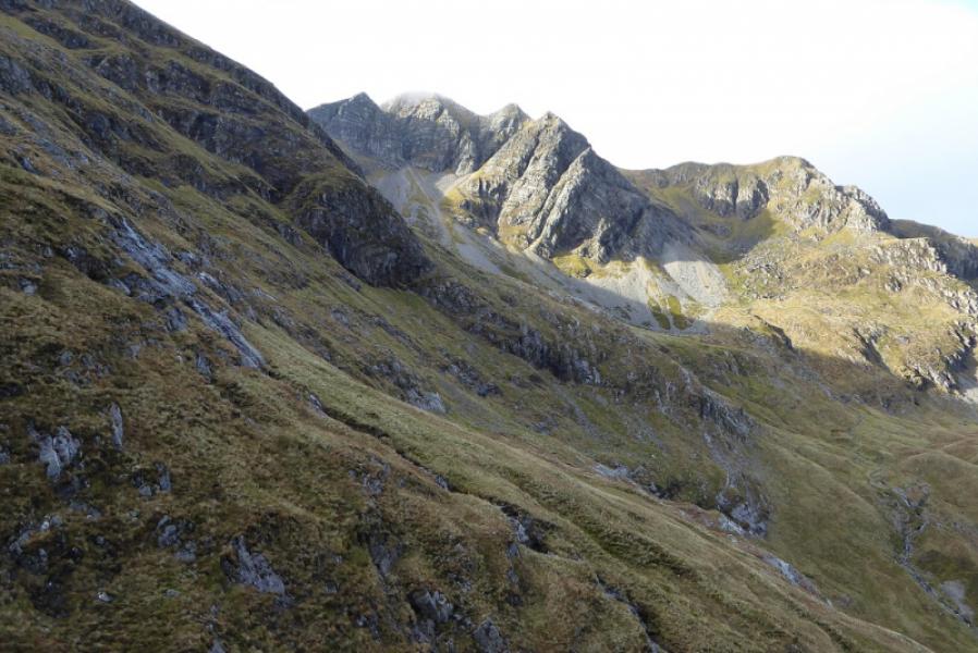
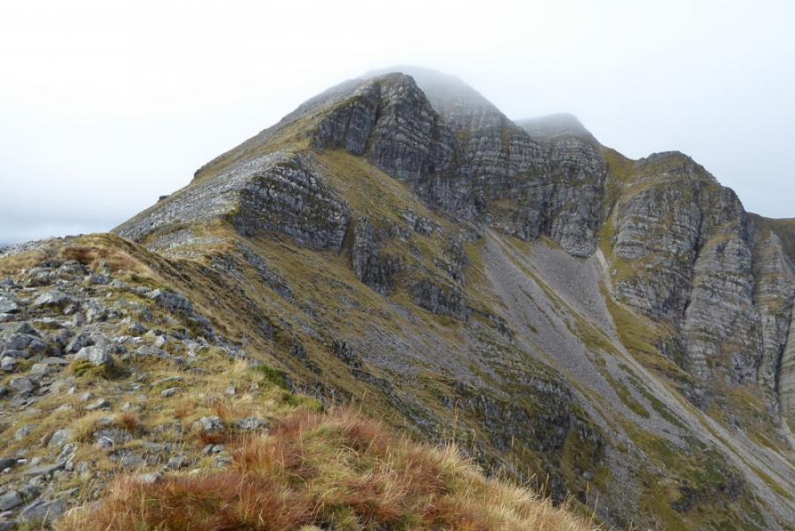
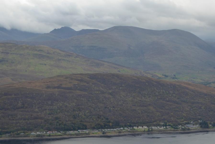
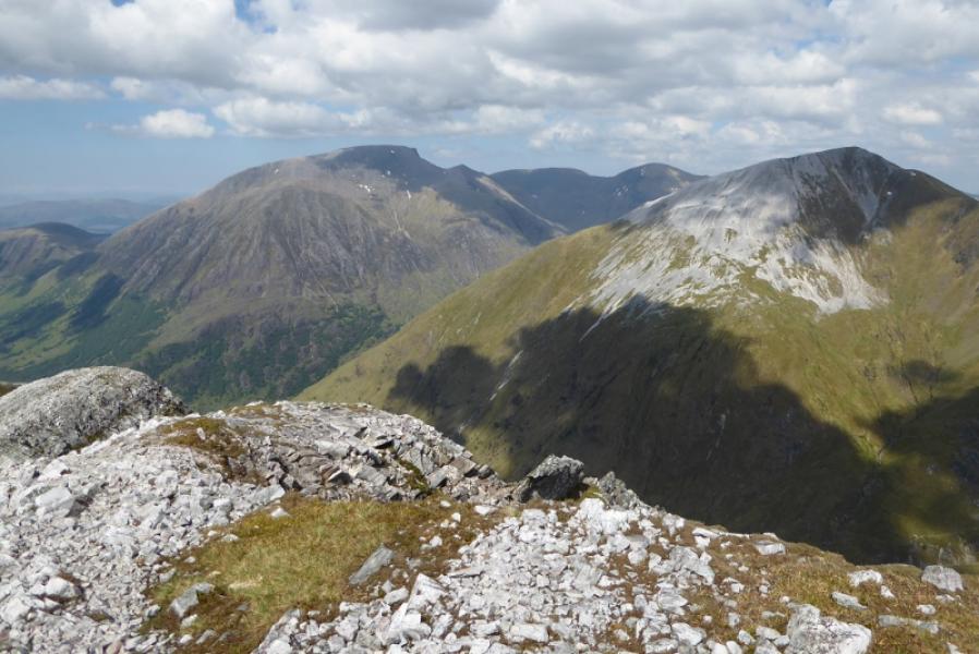
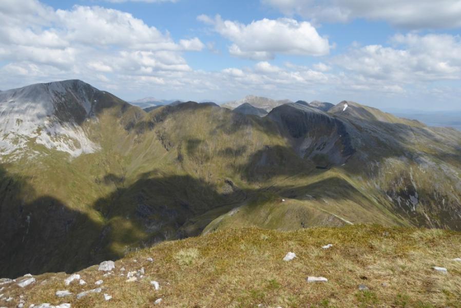
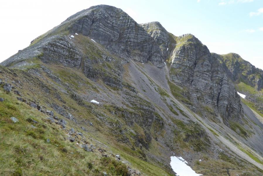
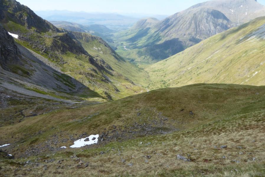
Outstanding views in all direction from this walk. Stob Ban is the white quartzite peak which is seen when looking towards Glen Nevis from Torlundy and the Mallaig road near Corpach. Recent forestry clearing closed some of this route in 2015 but it has now largely reopened although the section at the foot of the NNE ridge of Mullach nan Coirean is different from previously although those attempting this route for the first time will not notice the old route. On 18/10/17, the direct path down to Achriabhach from the forestry was closed due to felling with a diversion posted along forestry tracks. At the time of walking, there was much speculation that the East Top of Mullach nan Coirean had enough height to be designated a Munro Top so it is included as a peak on the round. The path over the East Top seems to pass about 2 m to the south of the tiny cairn marking the summit so many may have walked past the new top but may not have actually reached it.
Route
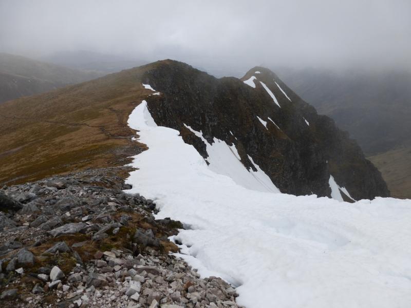
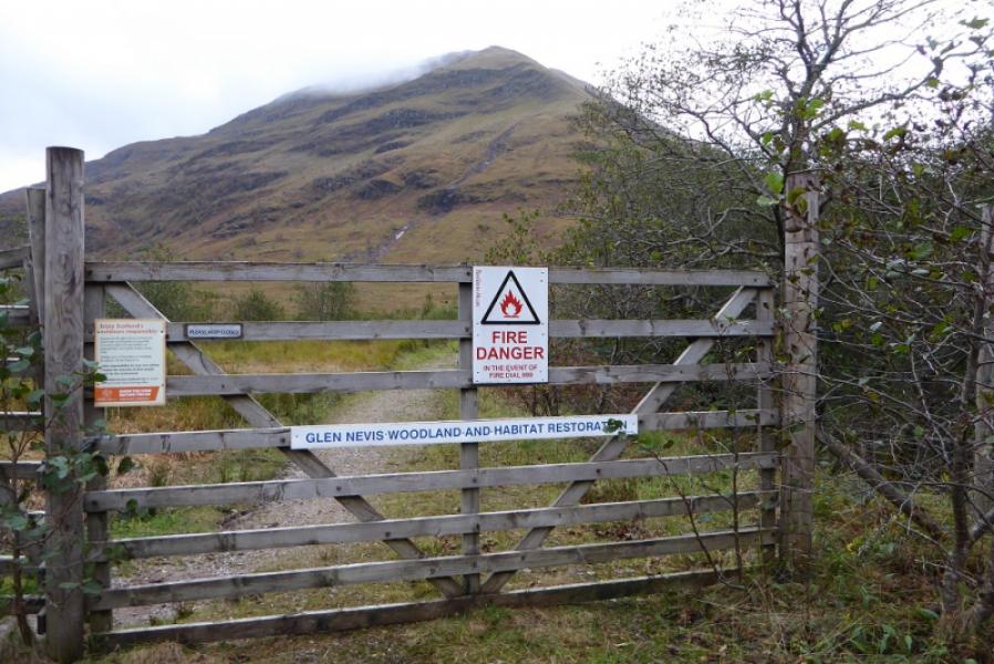
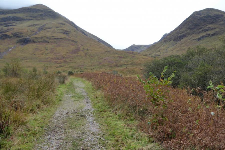
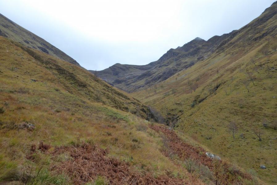
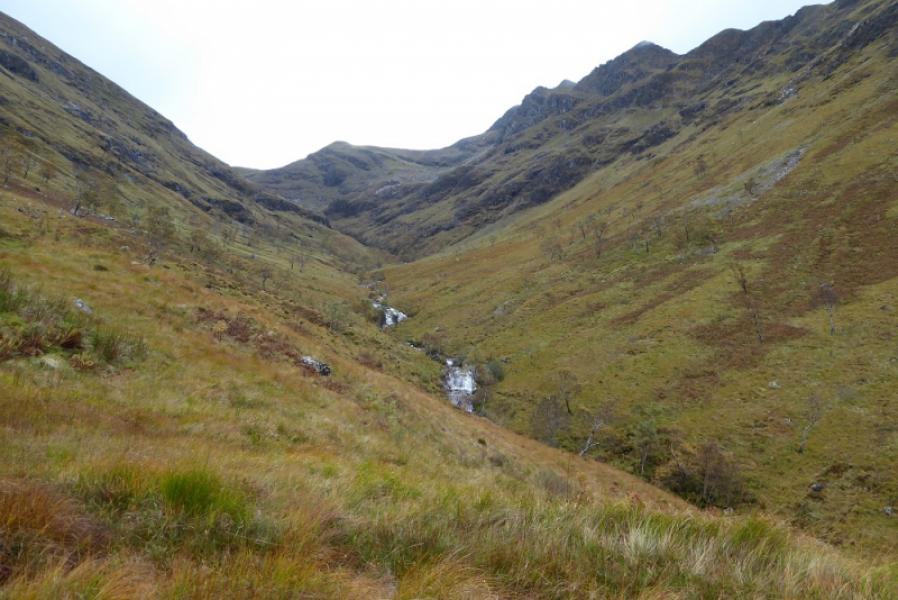
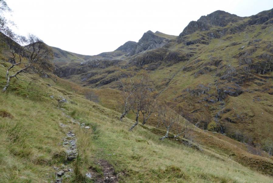
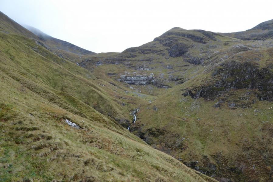
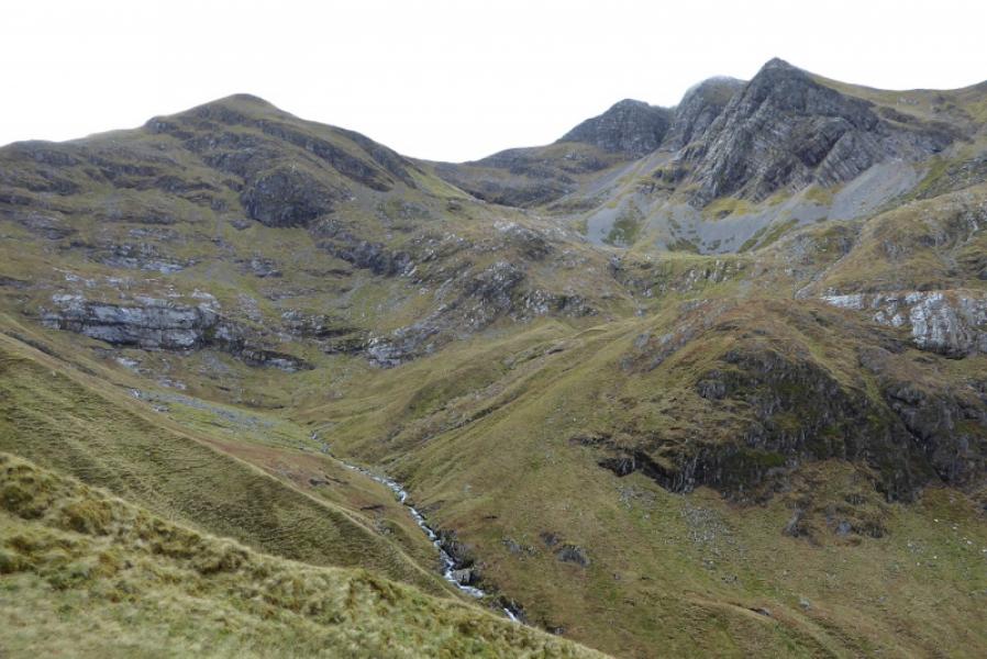
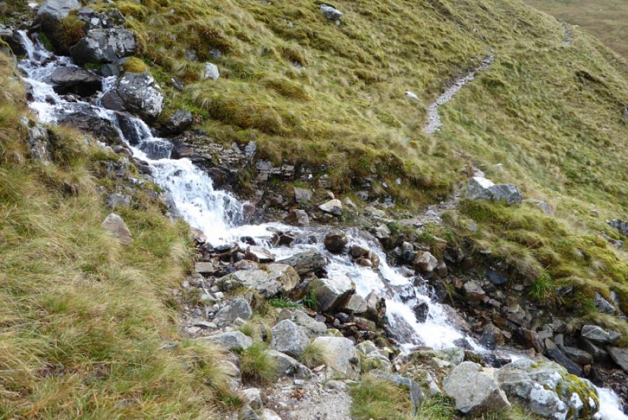
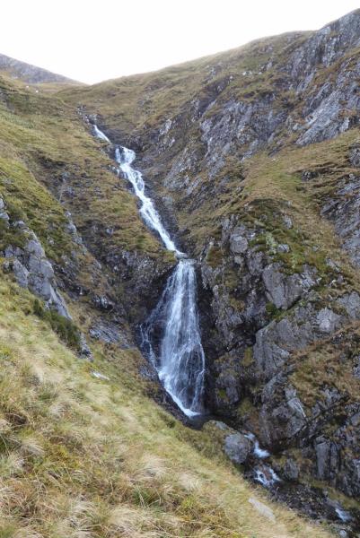
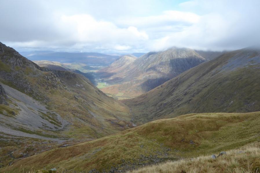
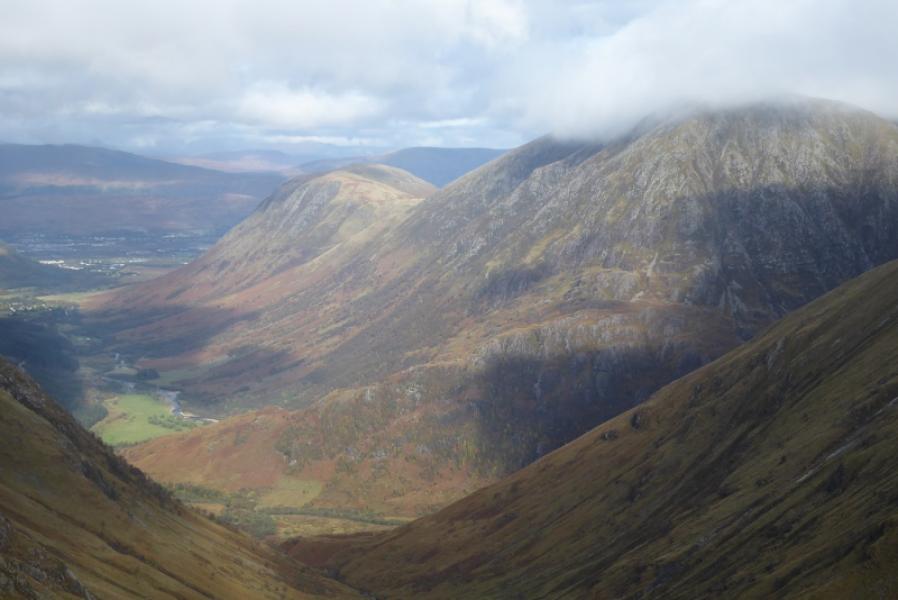
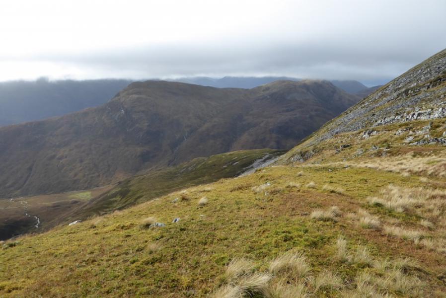
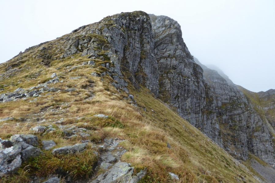
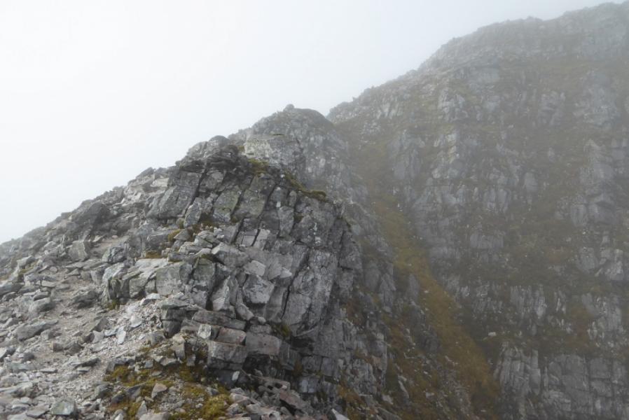
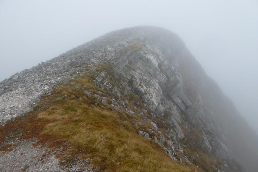
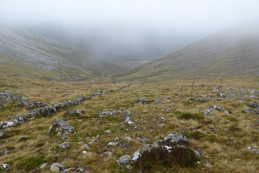
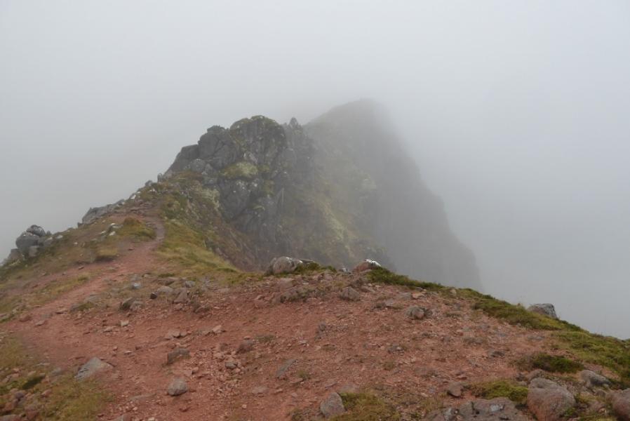
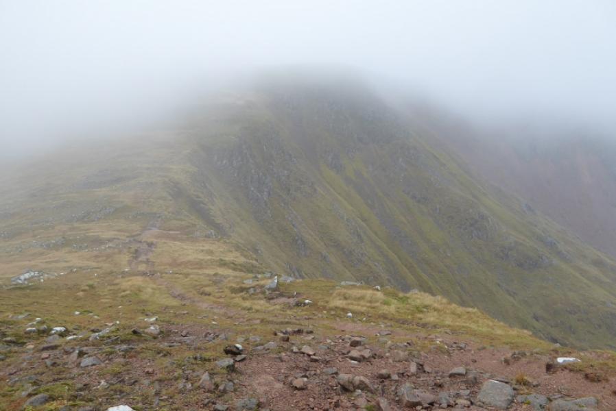
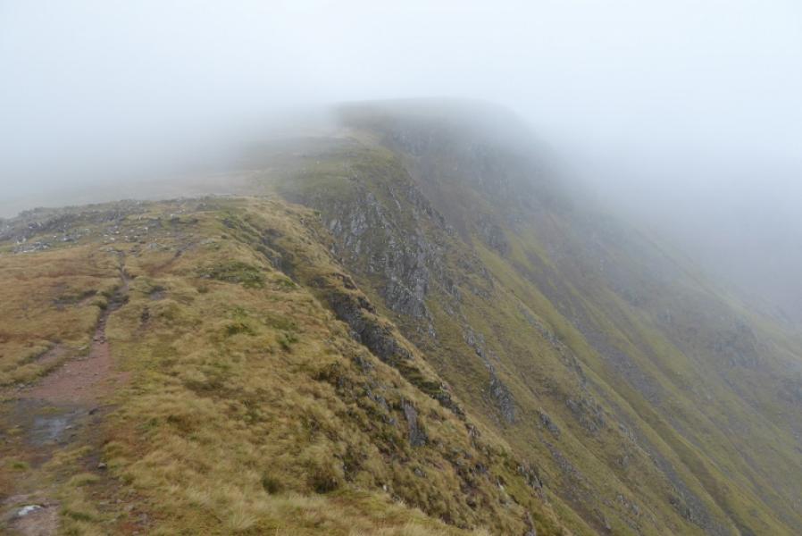
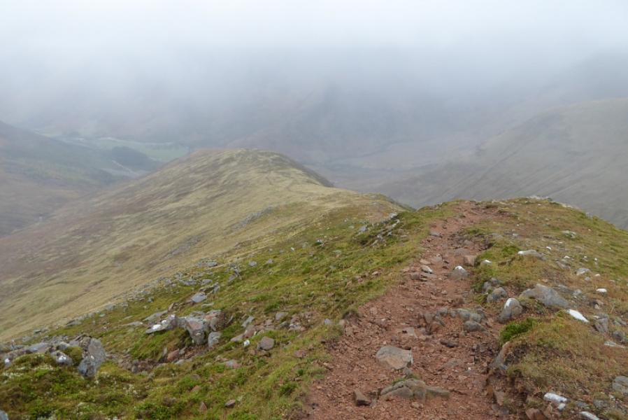
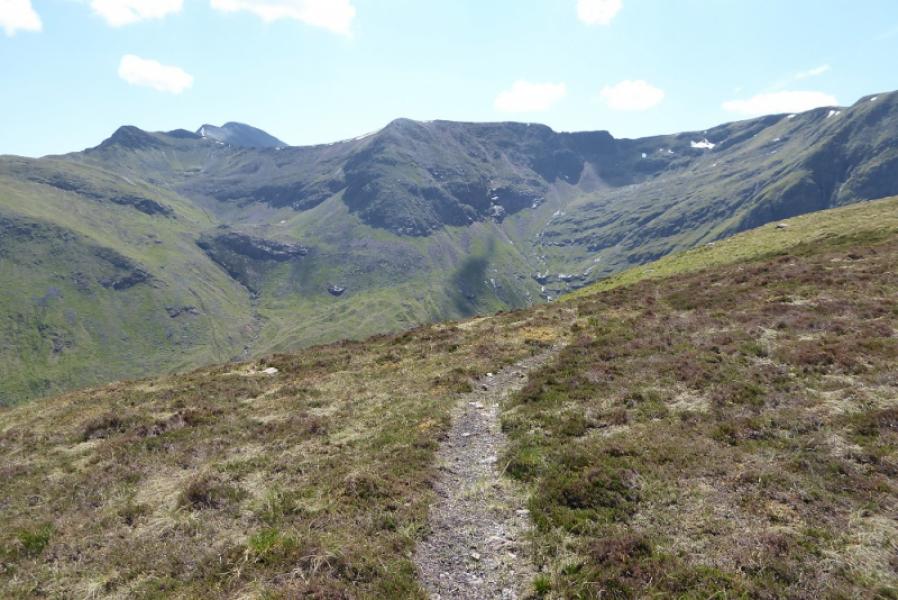
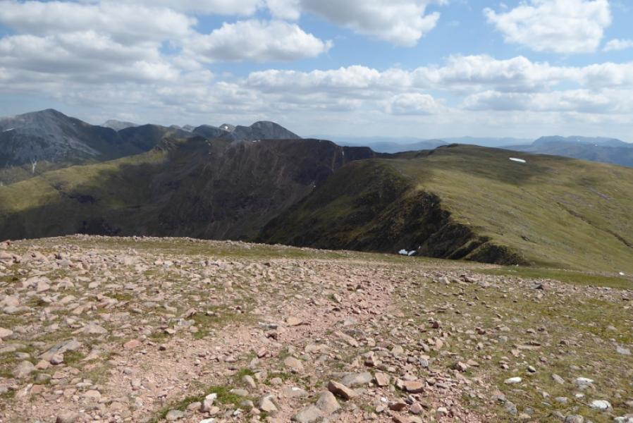
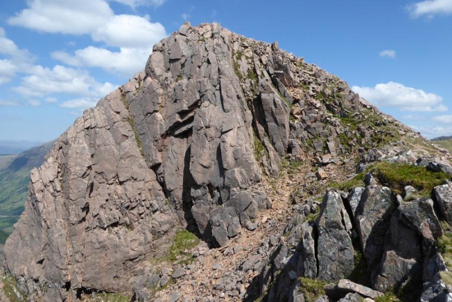
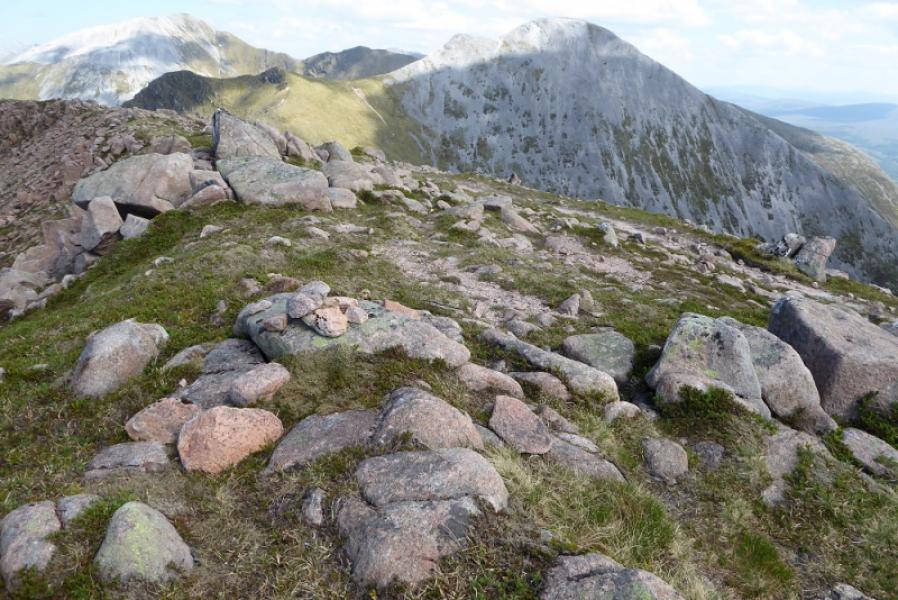
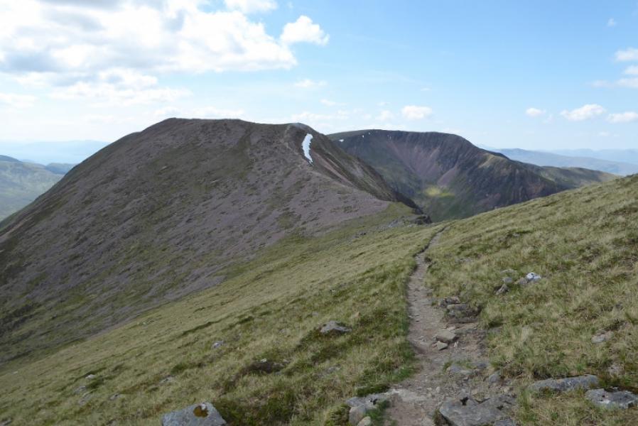
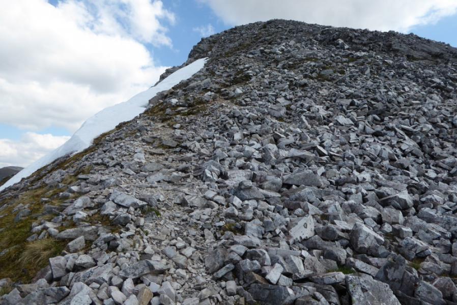
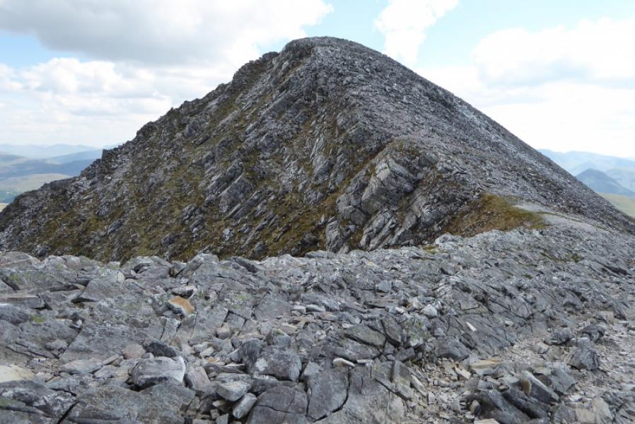
(1) From the car park. Continue along the road and cross the road bridge. Almost immediately, leave the road and take the track (not the signposted one) which goes through a gate then starts up Coire a' Mhusgain. Lower down, the path is quite rough but improves higher up and, essentially, shadows the main stream (on your right) up the corrie. Some of the path is in an eroded stony groove but is easy to follow. As it gets near the start of the waterfalls, it zig zags left, cutting back in places, to be higher above the stream. At the start of the zig zags is a small cairn and a low wall trying to bar incorrect progress on a faint path going ahead. Several tributaries are crossed and only one might pose a problem and then only after heavy rain. Eventually, reach the Mamores crest at a large cairn. Turn right and follow the steep and rocky crest, no difficulties, up towards the summit of Stob Ban. The path goes over quartzite and can be faint in places and there are options in places. Eventually, reach the medium summit cairn which marks the summit of Stob Ban, 999 m.
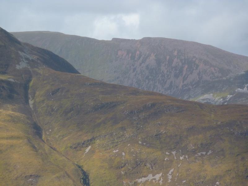
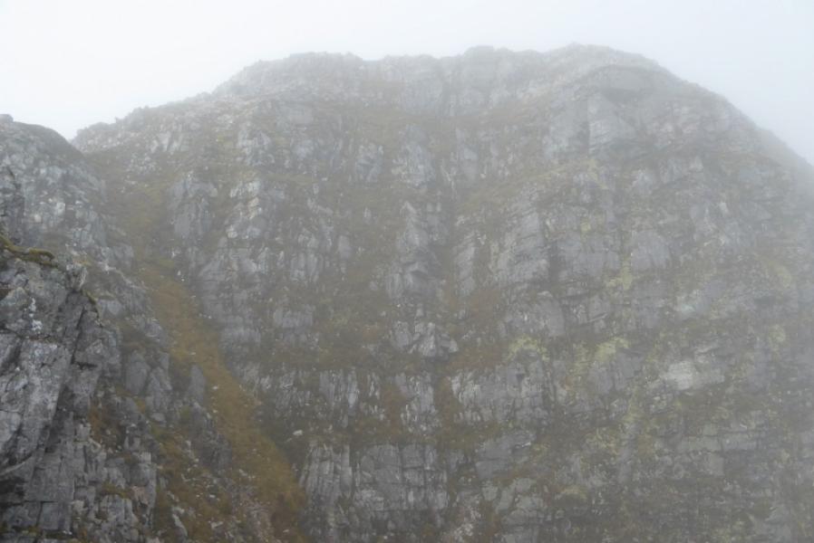
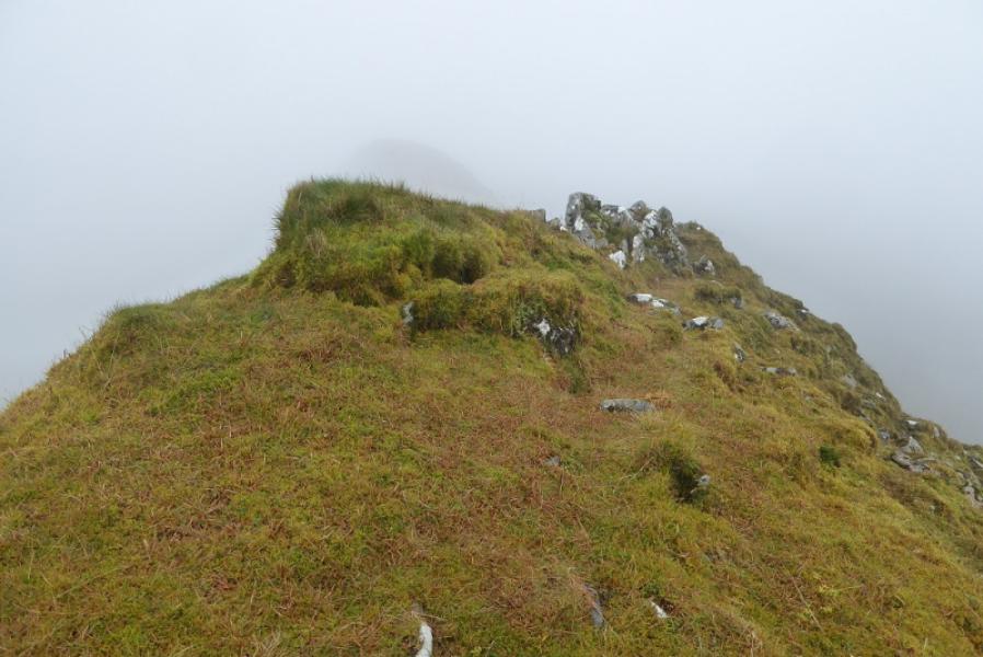
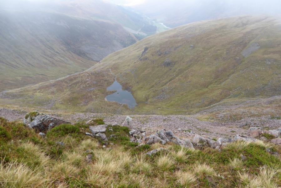
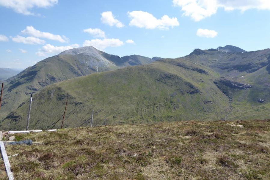
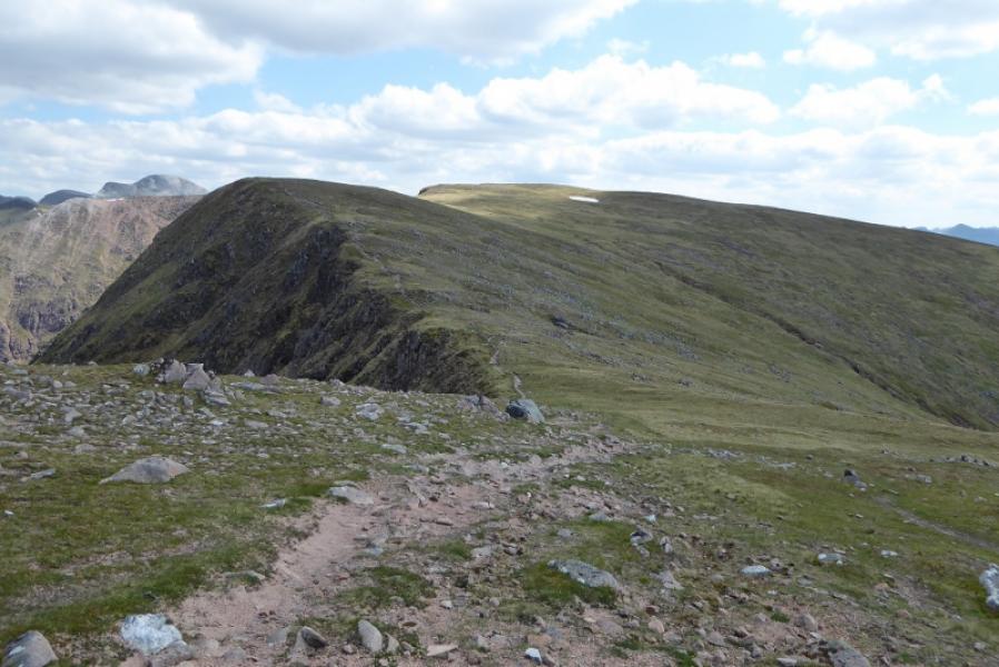
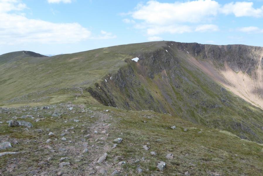
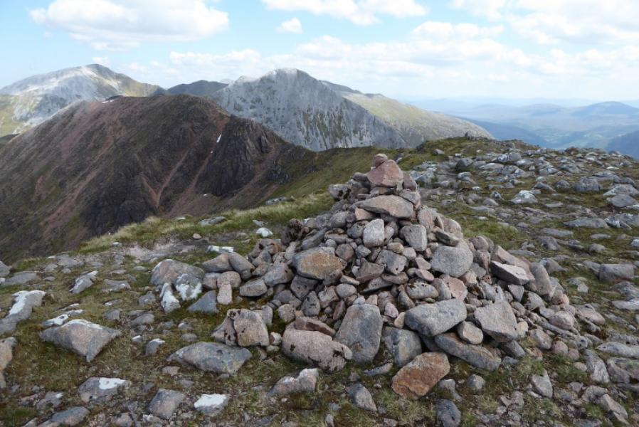
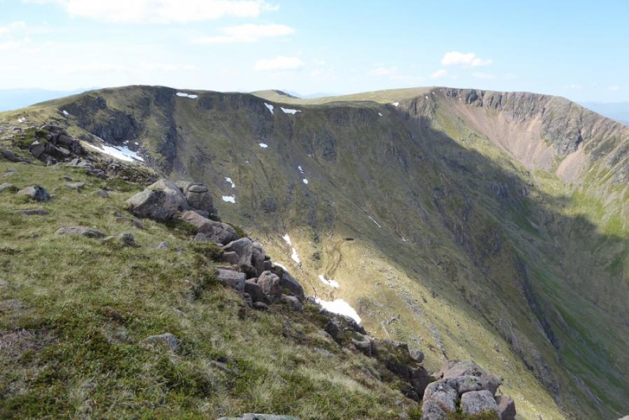
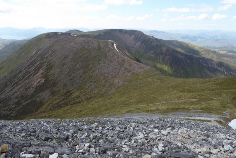
(2) Descend on the path heading down N, NW then roughly W. Most the way, you are following the edge on your right apart from where the ridge going down the W side of Coire a' Mhusgain leaves the crest so be careful not to go down that ridge. Reach the col. A wall goes down the corrie to the S about here and there is a lochan below on the N side. Ascend up to reach a rocky plateau. At about the highest point on the path there is a tiny cairn a few metres to the right. This may be new top and would be Mullach nan Coirean E Top, 916 m.
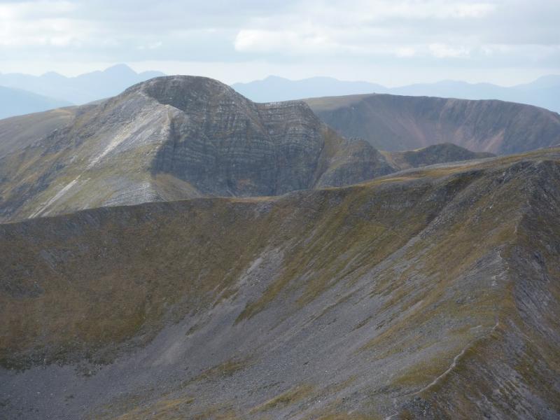
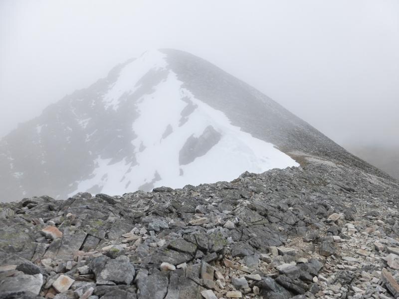
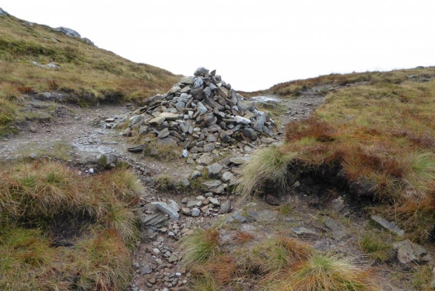
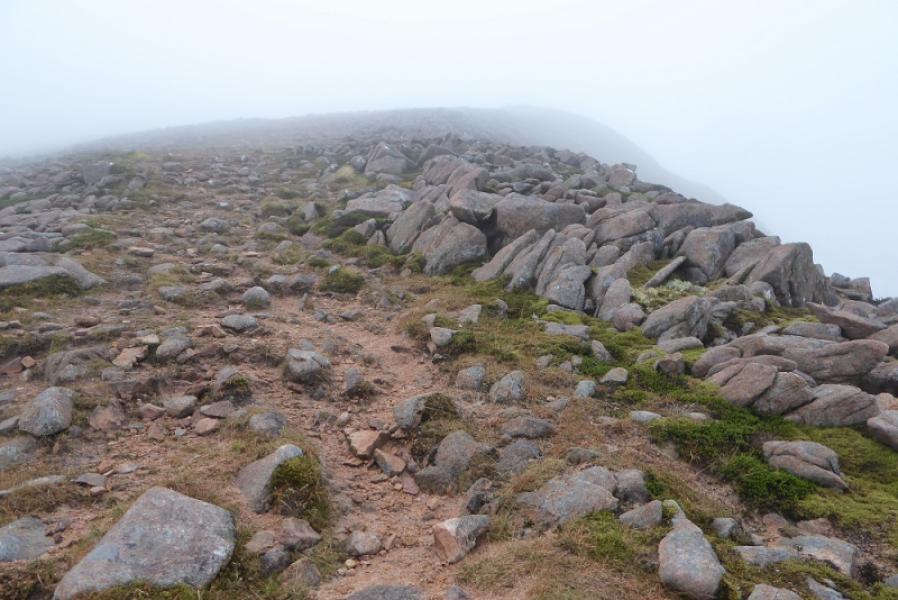
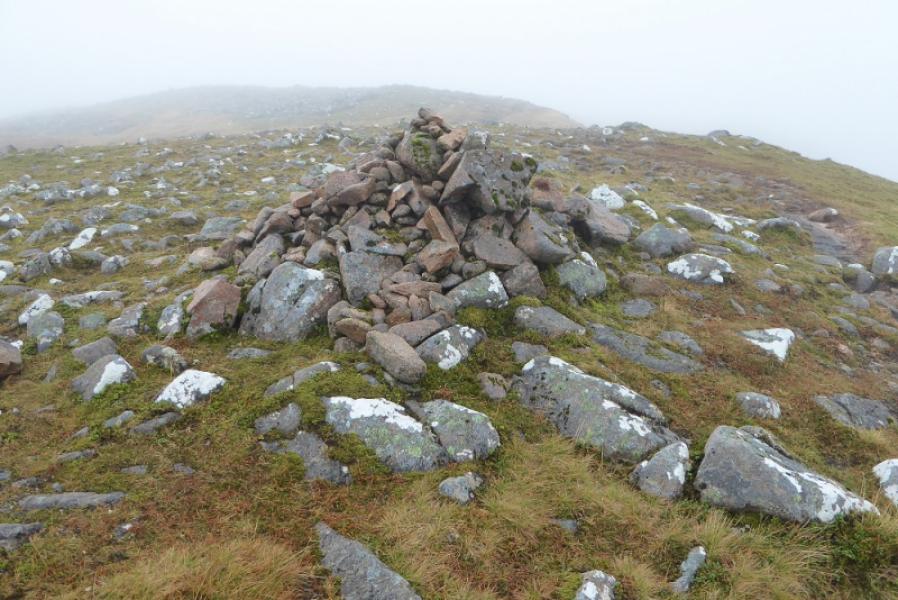
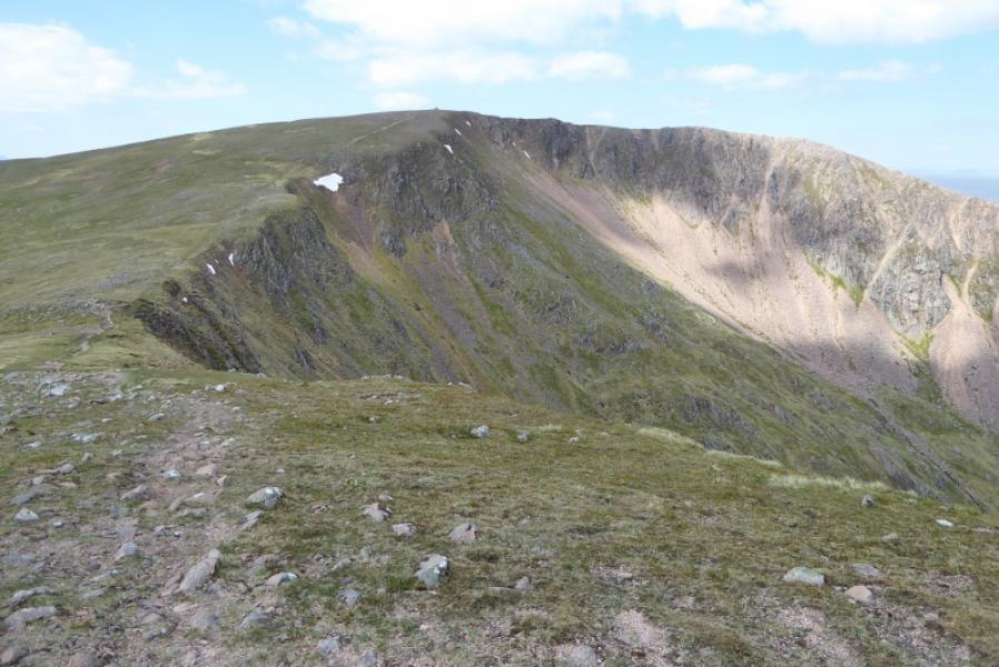
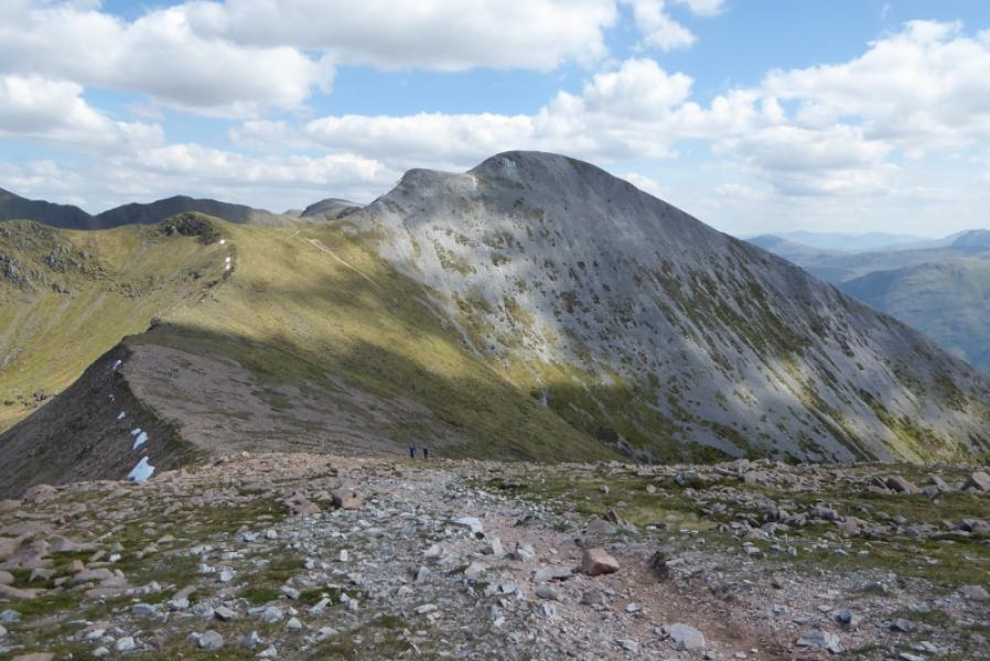
(3) Continue along the crest, descending to a dip then ascending up to a grassy plateau where a medium cairn marks the summit of Mullach nan Coirean SE Top, 917 m.
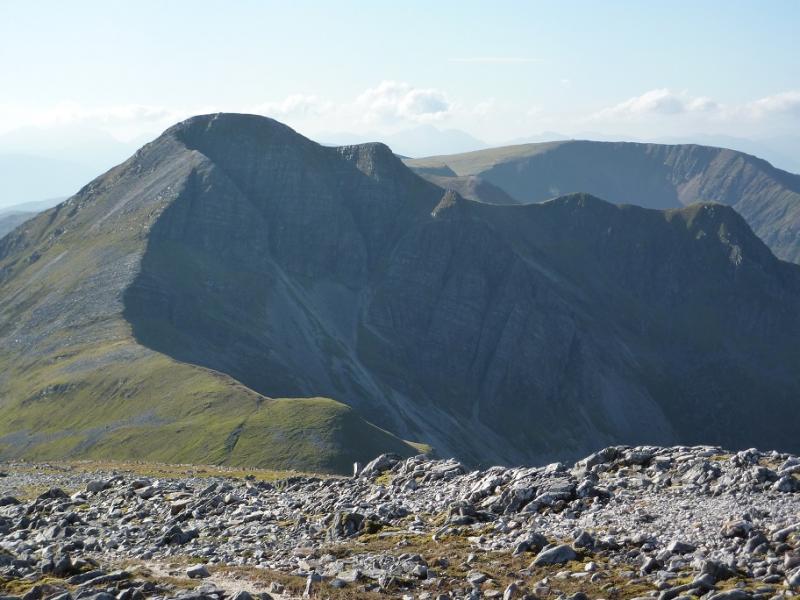
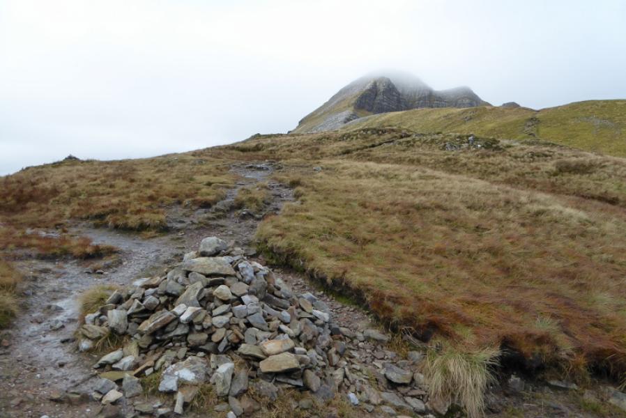
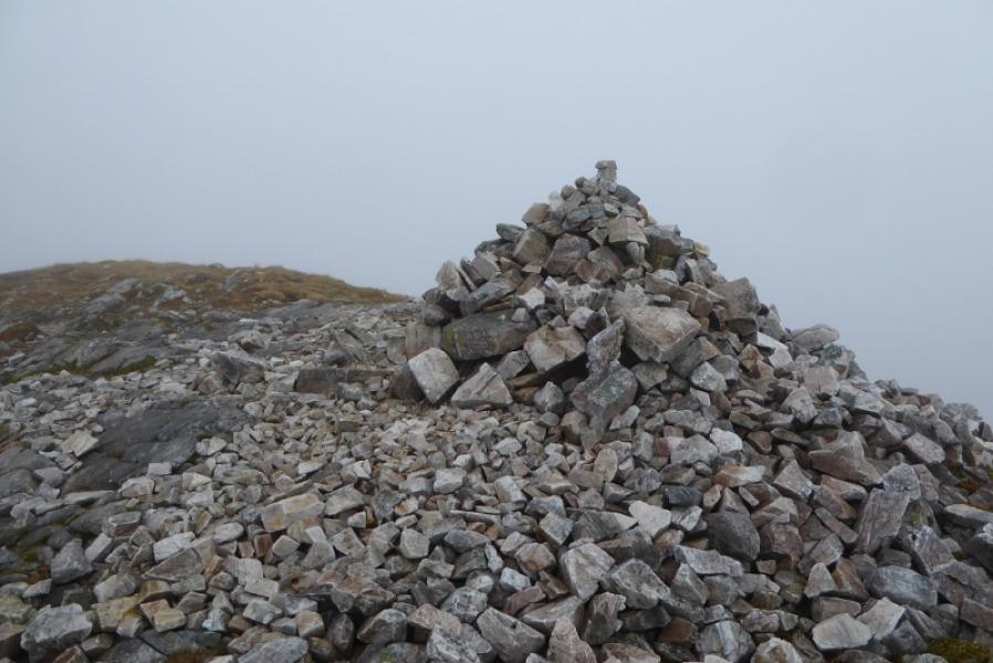
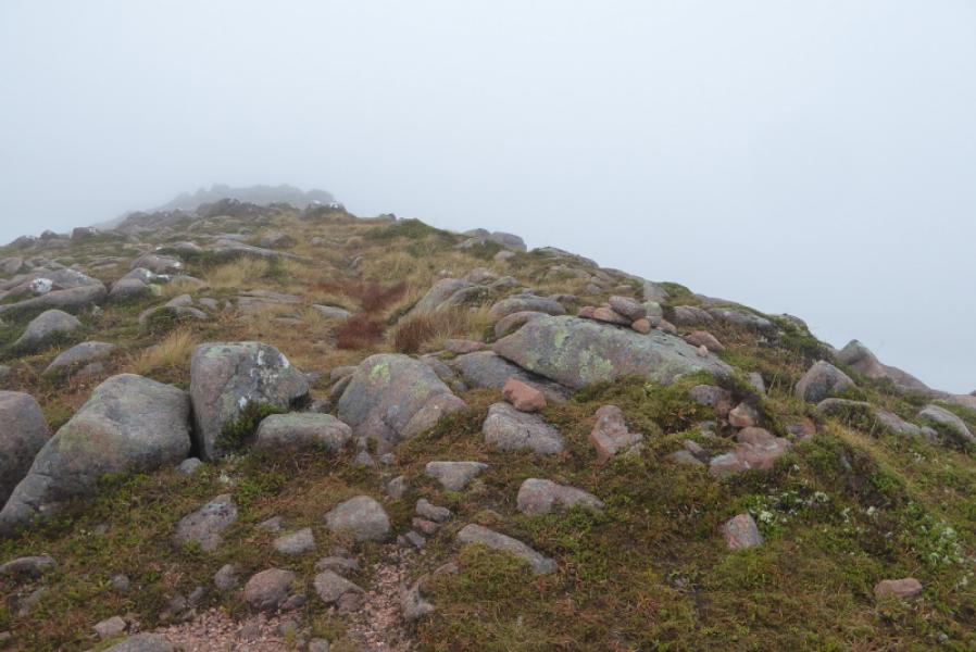
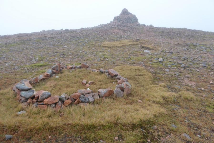
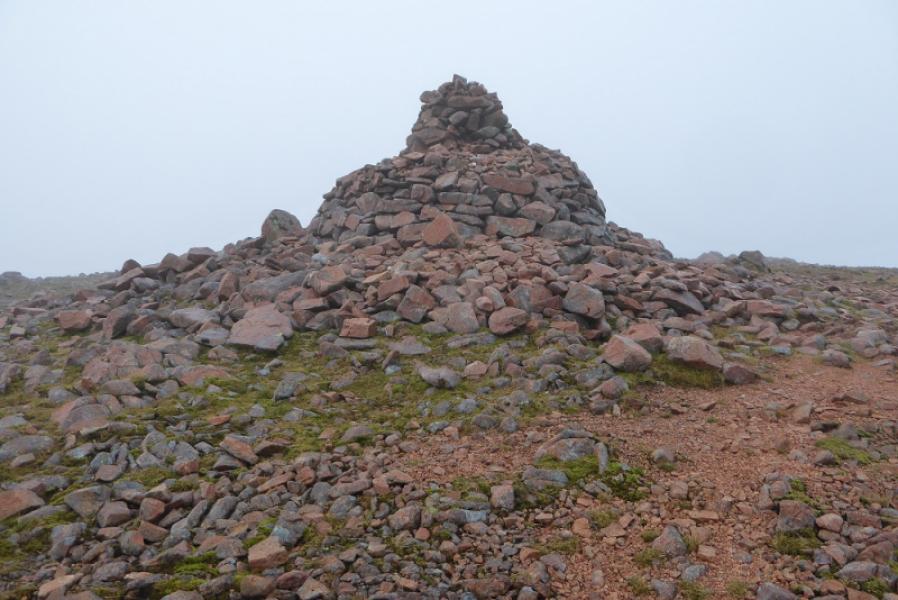
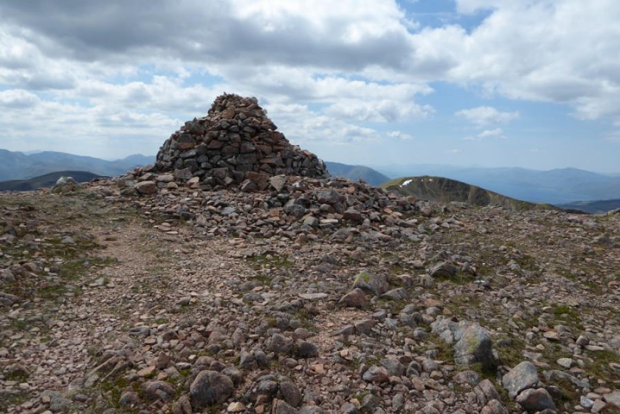
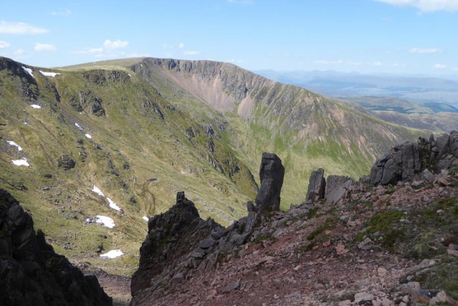
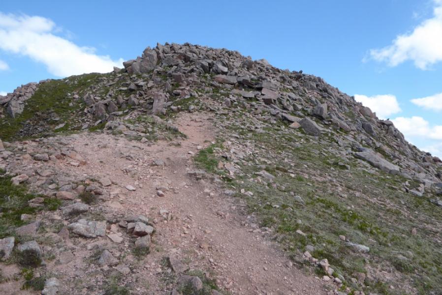
(4) Continue along the path, close to the N edge, and descend to a very broad grassy area before ascending up, quite some distance, to another grassy plateau where there is a small, low stone circle just before a very large and tall cairn which marks the summit of Mullach nan Coirean, 939 m.
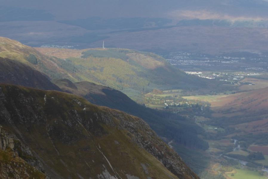
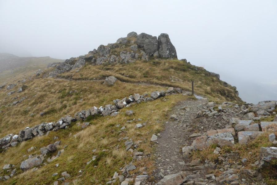
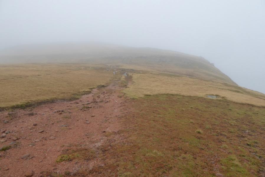
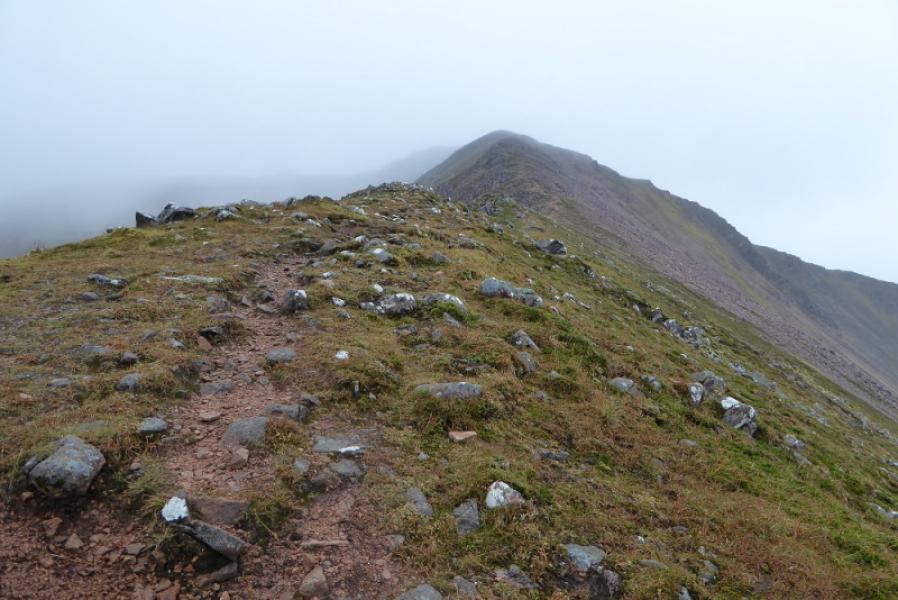
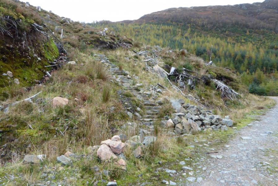
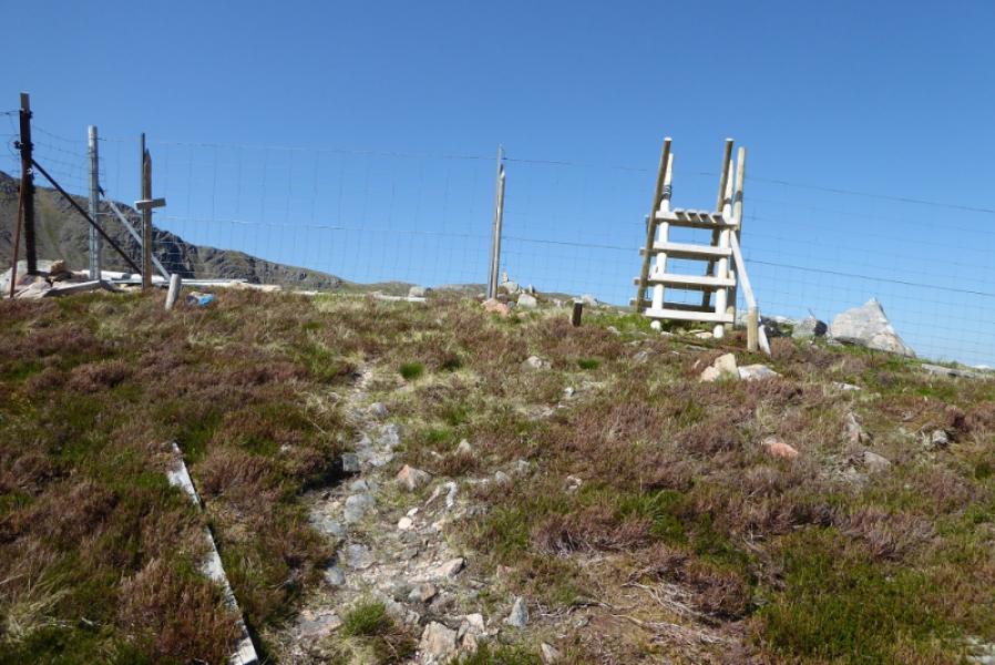
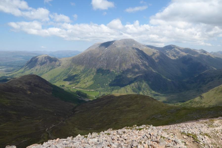
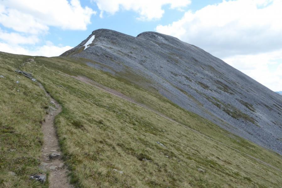
(5) Continue following the path which still has the edge on the right. This initially goes N then takes the ridge descending NNE. The path is very obvious. Follow the ridge all the way down. The final section is steeper and very slippery grass after rain before a stile is reached and a new path followed through the felled forest to reach a forestry track. Turn right and follow this down taking the left fork at a junction (the right fork goes uphill). Reach a hairpin bend. The usual path descends directly from here to the road but if it is closed follow the marked diversion which adds about 10 minutes of extra walking down the forestry tracks.
Notes
(a) This walk took place on 18th October, 2017.
Photos - Hover over photo for caption. Click on to enlarge. Click on again to reduce.