Get Lost Mountaineering
You are here: Scotland » 16 Coigach to the Pentland Firth » Lairg to Laxford Bridge to Tongue
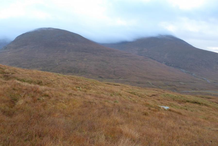
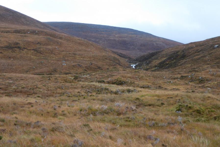
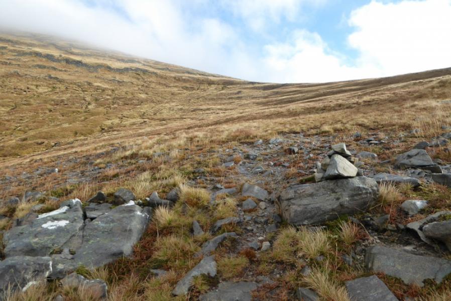
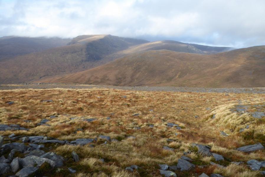
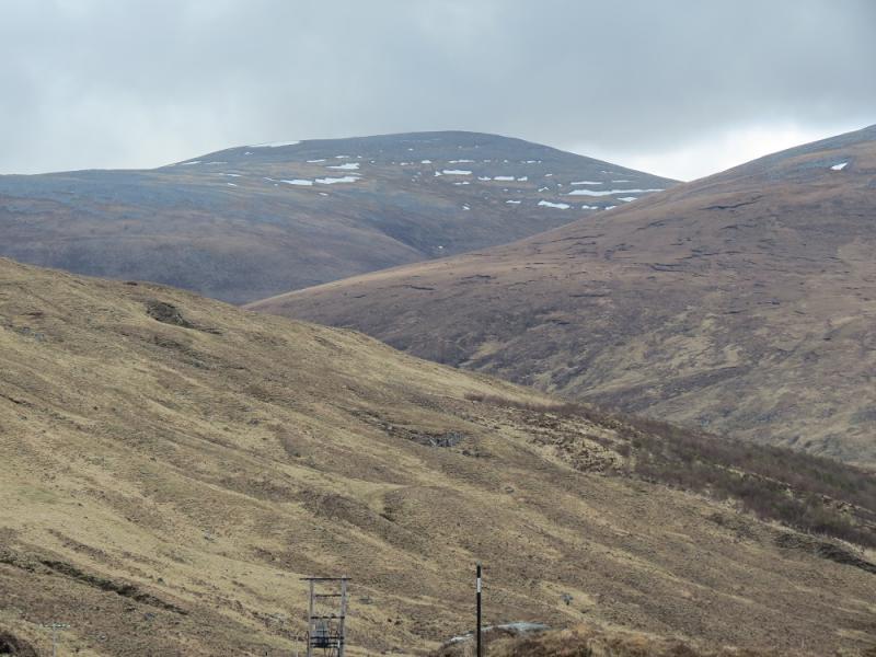
Ben Hee from West Merkland
Ben Hee from West Merkland
Start/Finish
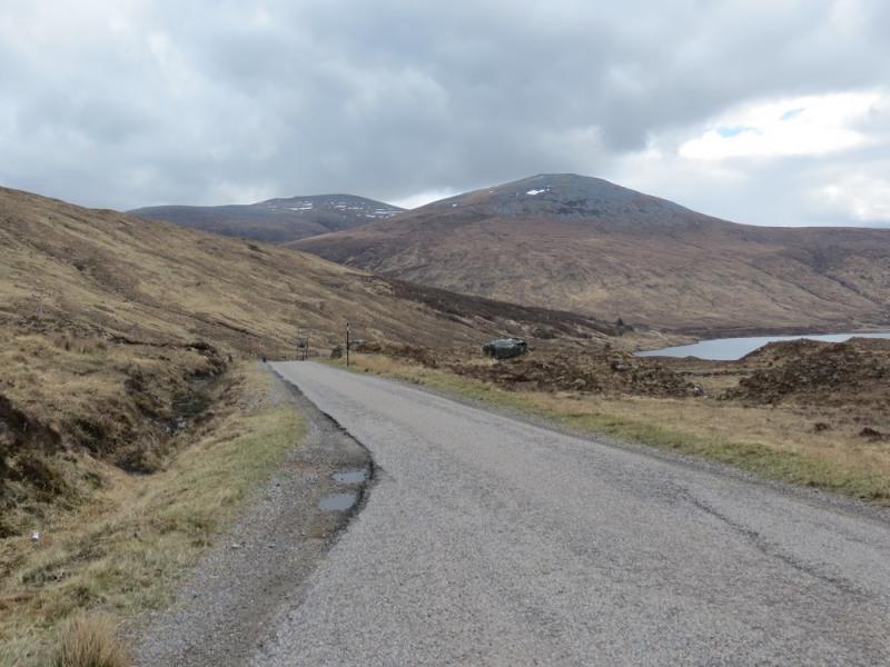
West Merkland on A838 Lairg to Laxford Bridge road where there is a cottage. Just north of here is a wide entrance to a seemingly disused track where one can park sensibly. West Merkland is about 22 miles north of Lairg.
Distance/Time
12 km. About 5 – 6 hours.
Peaks
Ben Hee, 873 m, NC 426 339. OS map 16: Lairg & Loch Shin.
Introduction
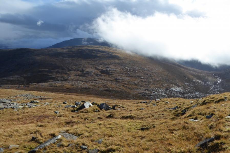
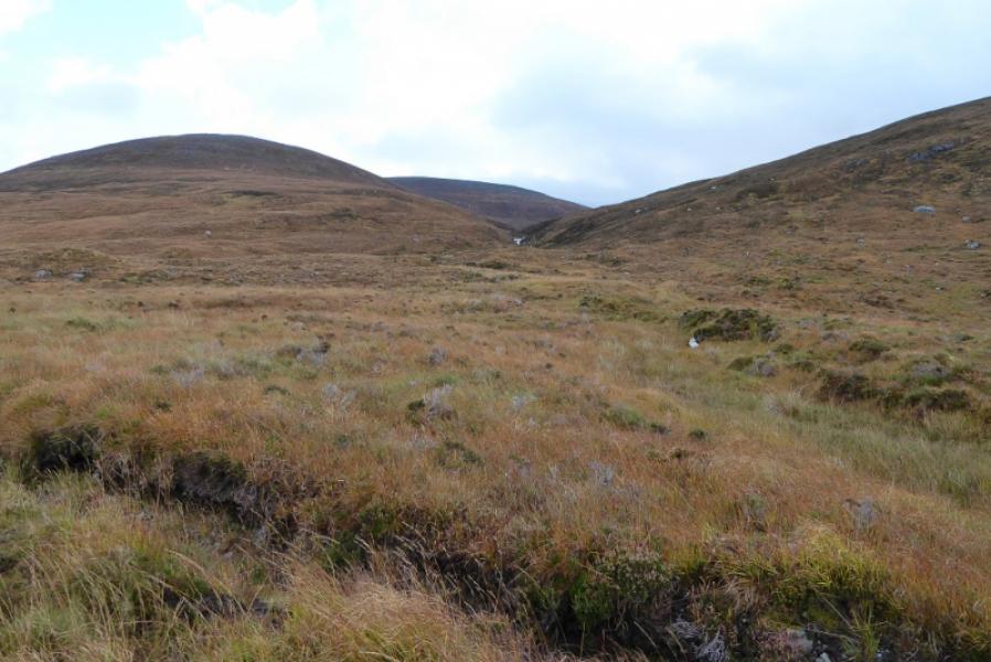
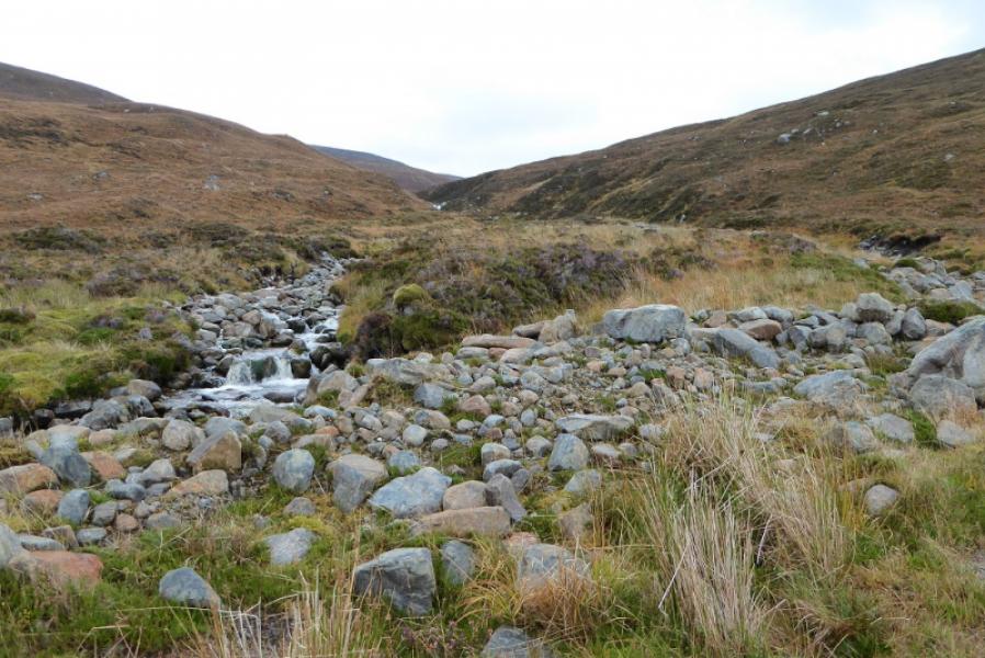
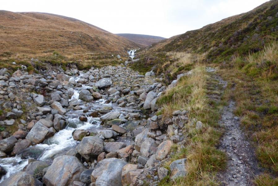
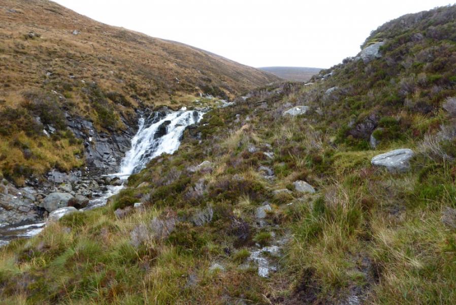
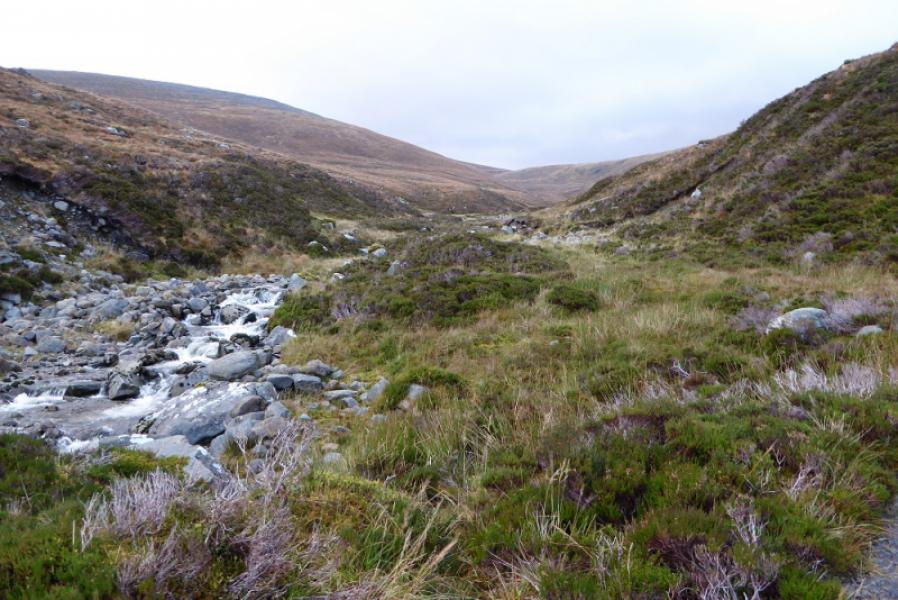
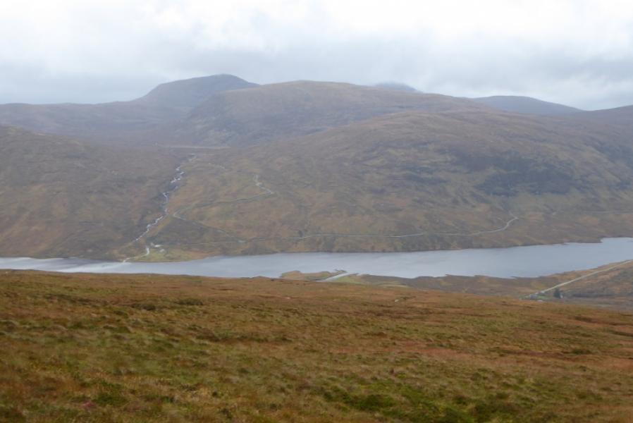
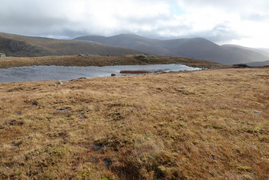
This is a straightforward route but the path up the Allt Coir a' Chruteir is quite unpleasant being wet, boggy, eroded and very soft underfoot until it climbs out of the glen. For this reason an alternative return is given. In clear weather, there are excellent views to Carn an Tionail, Beinn Direach, Ben Hope and Ben Klibreck. Even Ben More Assynt and Conival can be seen in very clear weather.
Route
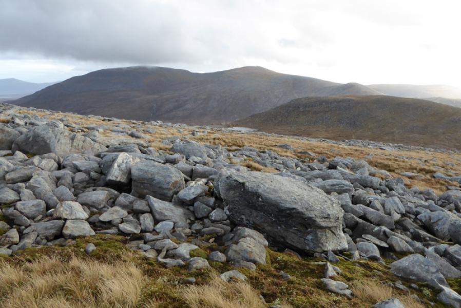
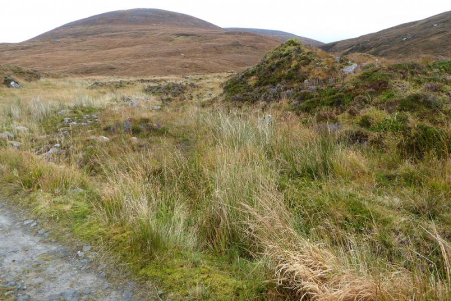
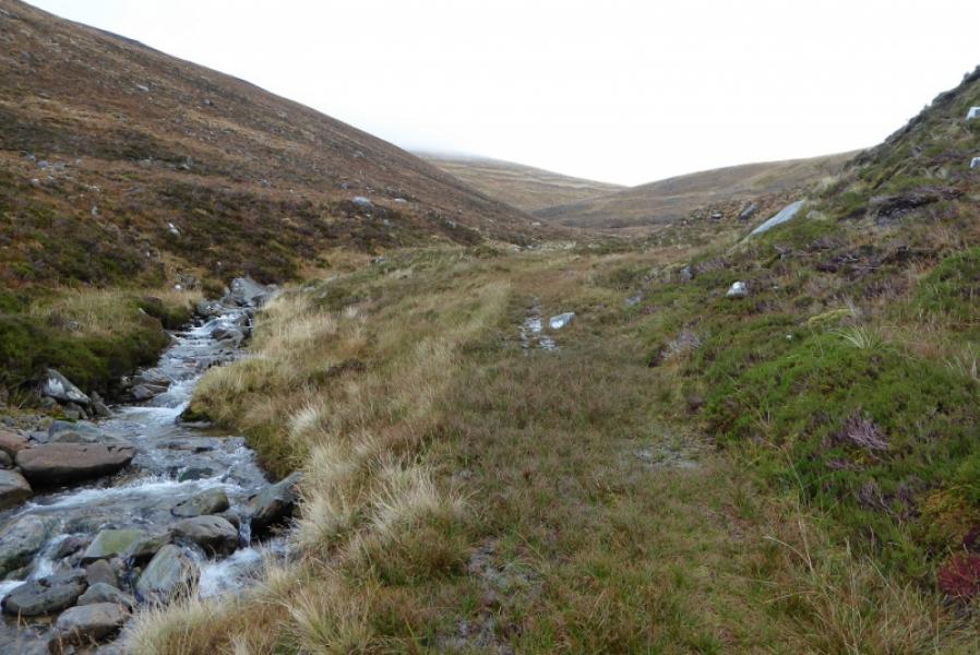
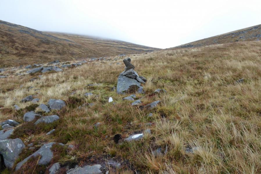
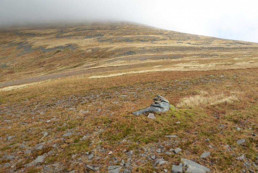
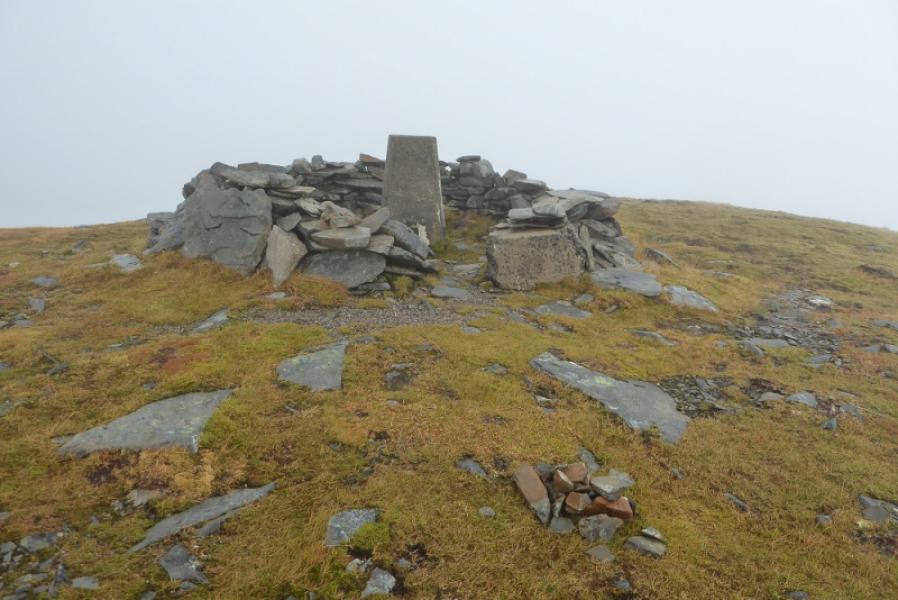
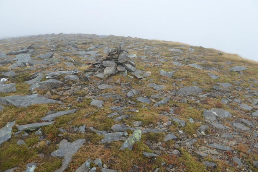
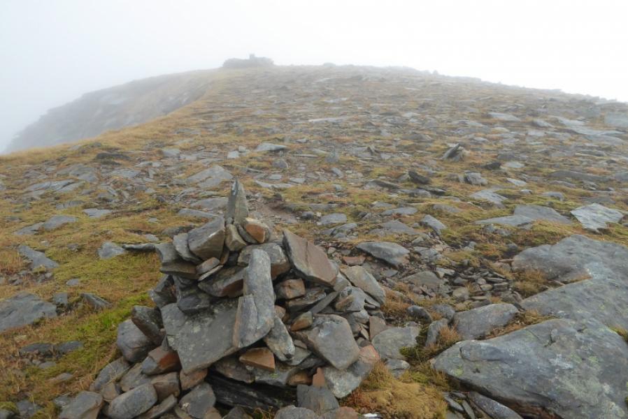
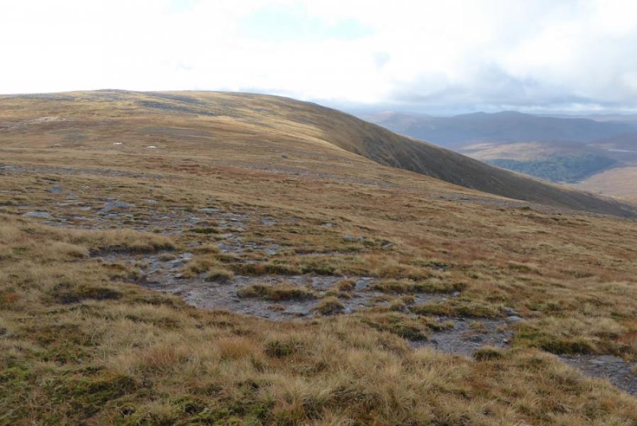
(1) Walk up the track for about 2 km. The path up the Allt Coir a' Chruteir starts about 100 m before the track crosses it and is quite faint where it starts but is soon much more obvious. Follow this unpleasant path for about 3 km after which it starts to climb out of its glen and follows a few cairns towards the col between Ben Hee and Meallan Liath Mor. There is no need to go to the broad grassy col and one can start heading, roughly NE, up the obvious slopes of Ben Hee. These are a mix of grass, gravel and easy boulder fields. There is about 250 m of ascent which leads to the summit crest where there is a trig point in a shelter cairn (plus an old trig point on the ground) and a medium cairn about 30 m to the N. Both sit almost on the edge of the very steep edge to the NE. This is the summit of Ben Hee, 873 m.
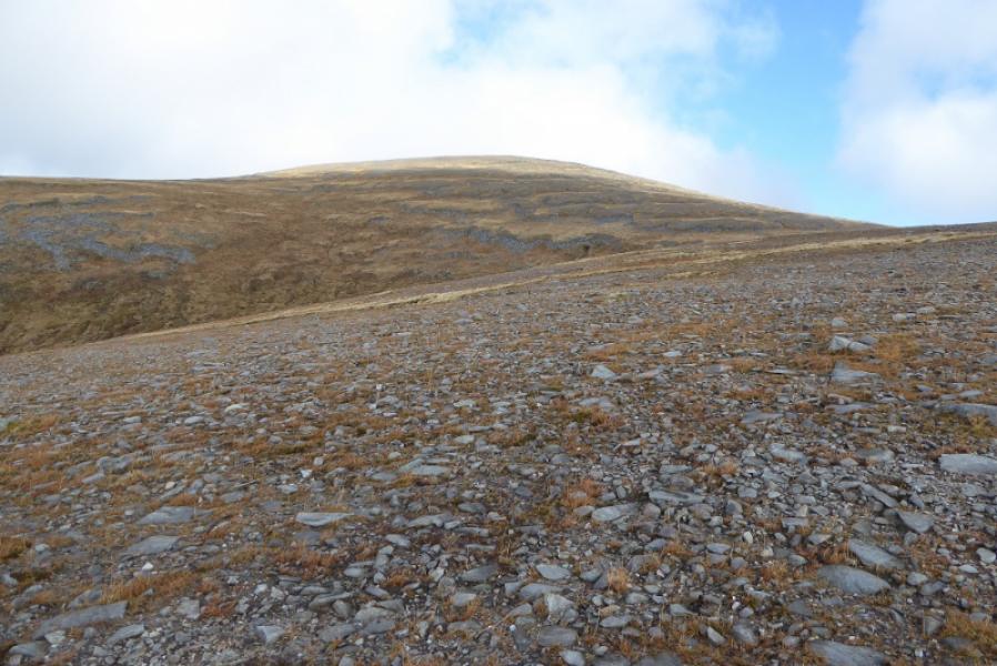
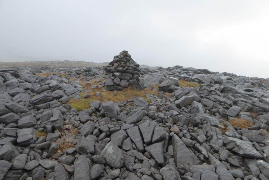
(2) Retrace towards the col below Meallan Liath Mor. Either retrace down the unpleasant path or ascend, roughly WSW, up Meallan Liath Mor on mainly easy grassy slopes. The top is a rough stony and bouldery plateau with a tall cairn at the W end. On the way up, you will have crossed an ATV track and maybe noticed a small cairn. The ATV track is the way down so aim to intercept it rather than retrace part of the ascent. Look for some pointed rocks which mark a shelter cairn hidden from view on approach. Just below this, the ATV track can be picked up and followed. There are some useful cairns to begin with but not lower down as they are not needed. Much lower down, the track is not as pleasant but it soon leads down to the main track which is followed, left, back to West Merkland.
Notes
(a) This walk took place on 24th October, 2017, and on 28th July, 1998, using the Allt Coir a' Chruteir route for both the ascent and descent.
Photos - Hover over photo for caption. Click on to enlarge. Click on again to reduce.