Get Lost Mountaineering
You are here: Scotland » 16 Coigach to the Pentland Firth » Lairg to Laxford Bridge to Tongue
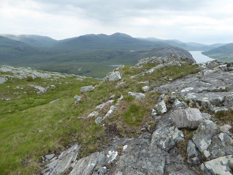
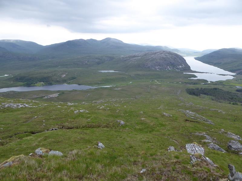
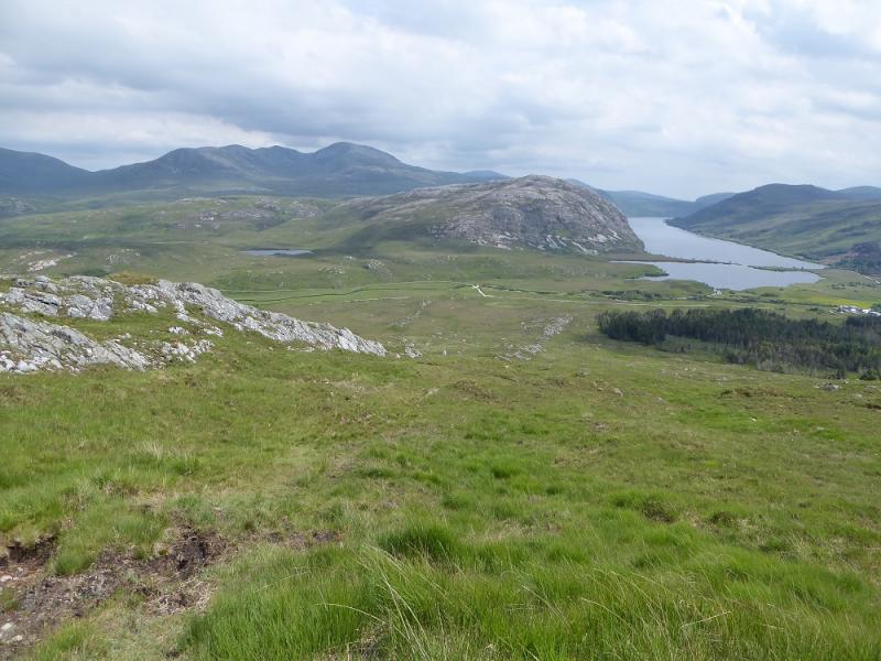
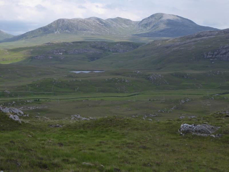
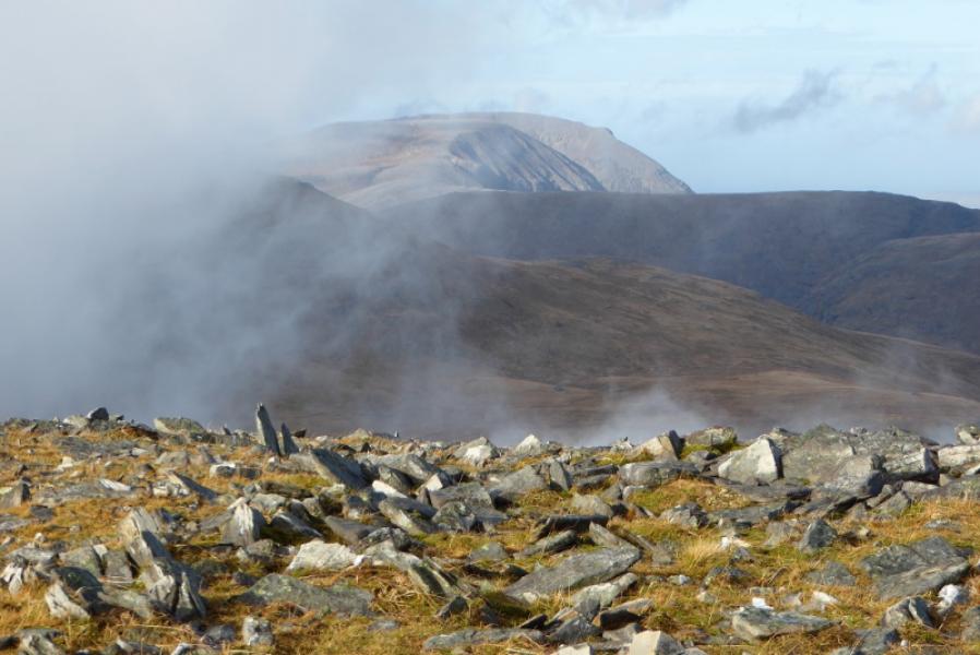
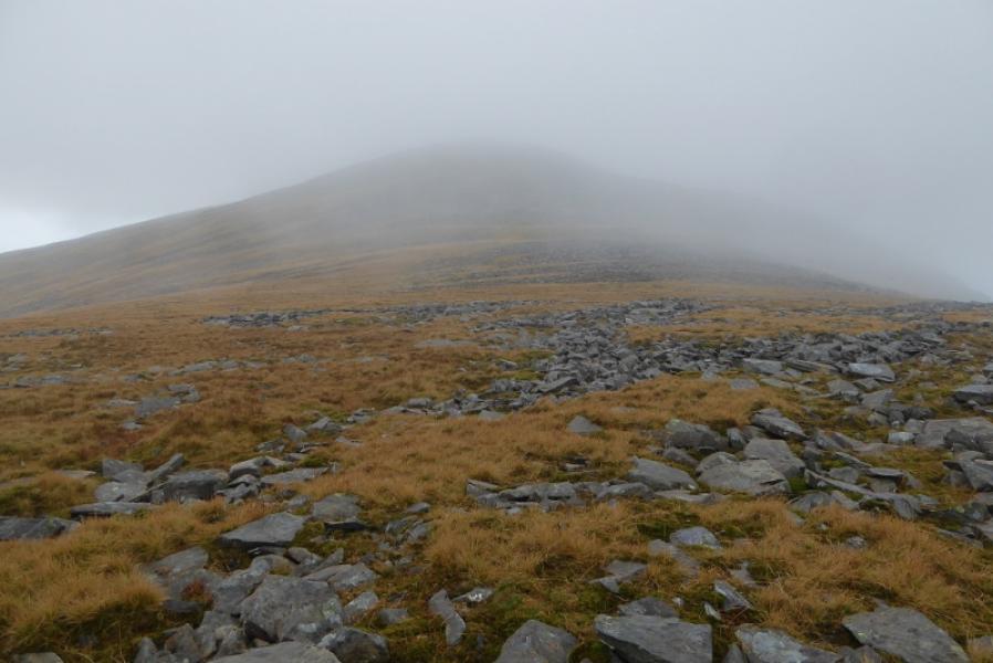
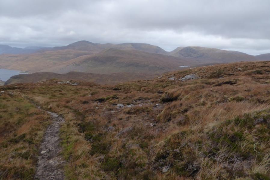
Meallan Liath Coire Mhic Dhughaill from Kinloch
Meallan Liath Coire Mhic Dhughaill from Kinloch
Start/Finish
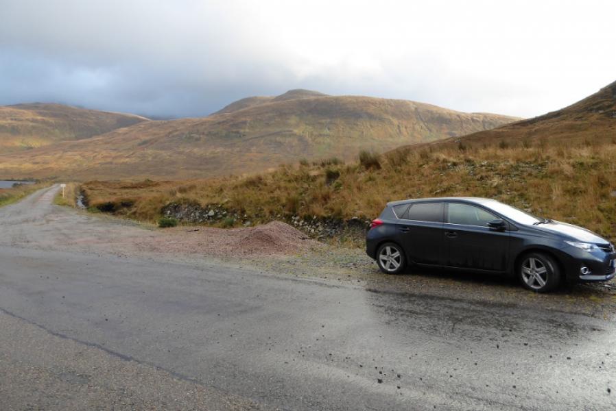
Start of track to Aultanrynie just to the south of the cottage at Kinloch at the southern end of Loch More on the A838 road from Lairg to Durness. Kinloch is about 26 miles from Lairg and about 30 miles from Durness. The entrance to the track is very wide and parking sensibly should not be a problem.
Distance/Time
17 km. About 7 – 9 hours.
Peaks
Meallan Liath Coire Mhic Dhughaill, 801 m, NC 357 391.
OS maps 9, 15 & 16: Cape Wrath, Loch Assynt and Lairg & Loch Shin.
Introduction
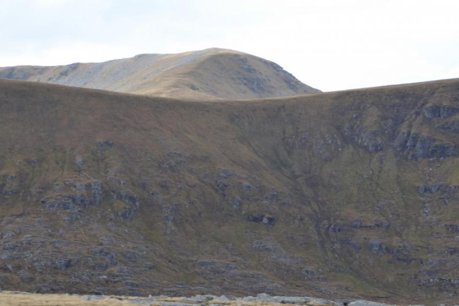
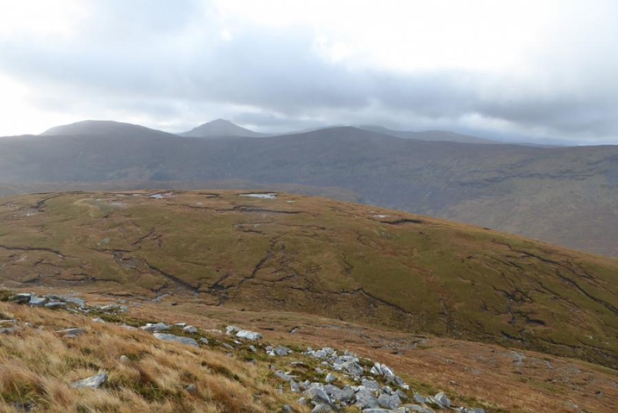
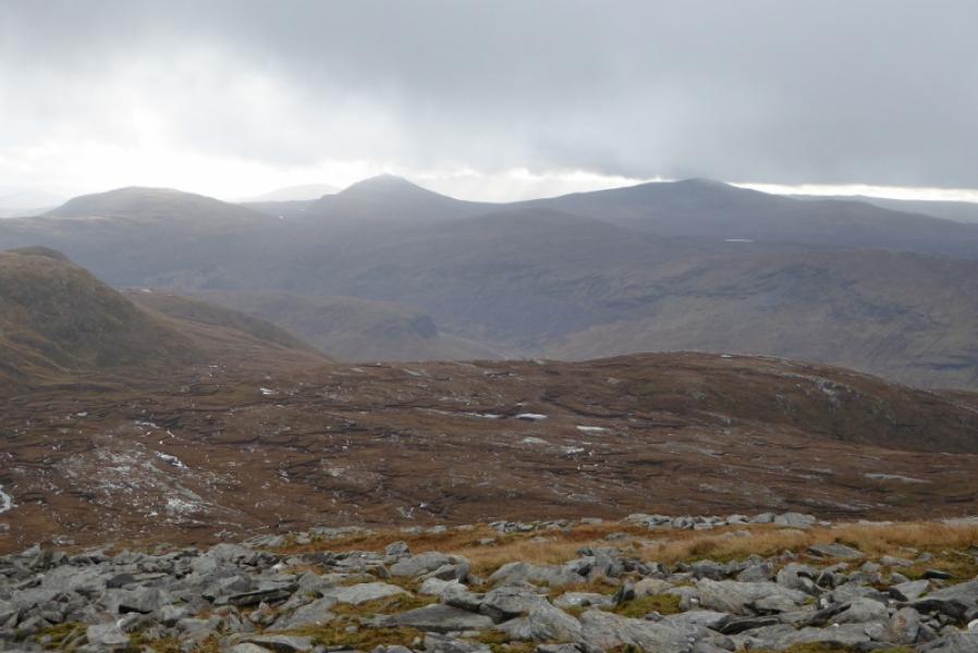
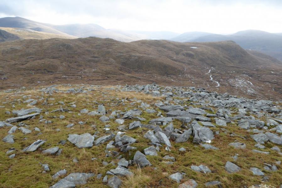
This is a tough walk but, on a clear day, there are excellent views to Ben Hee, Carn an Tionail, Sabhal Beag, Meall Horn, Arkle and Ben Stack.
Route
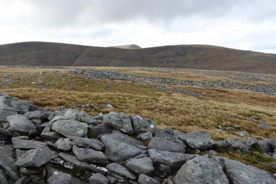
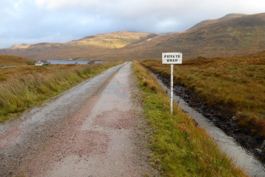
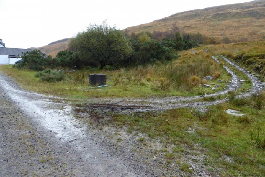
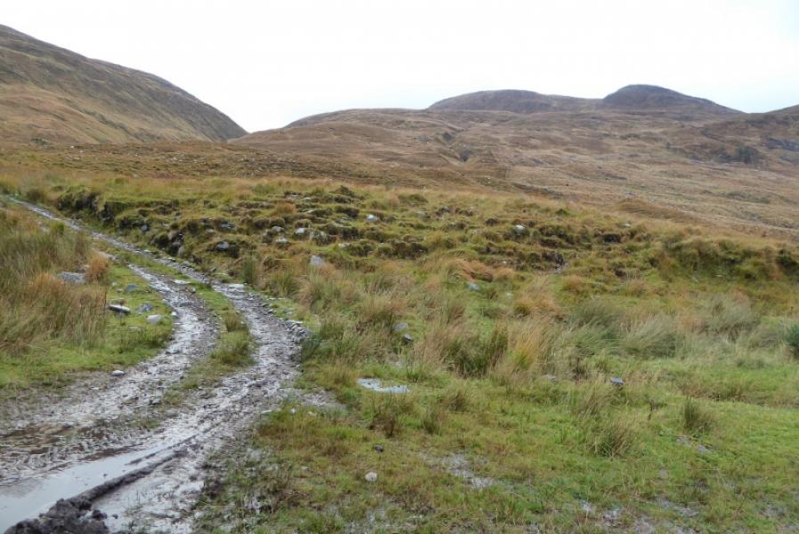
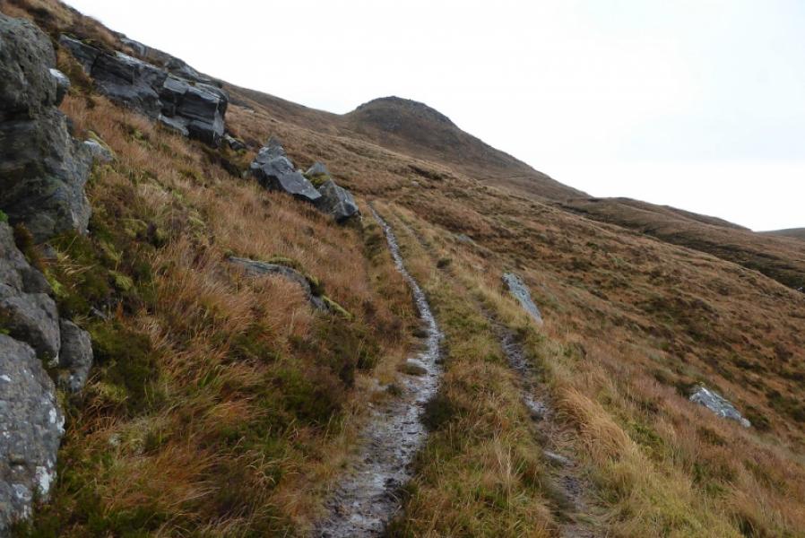
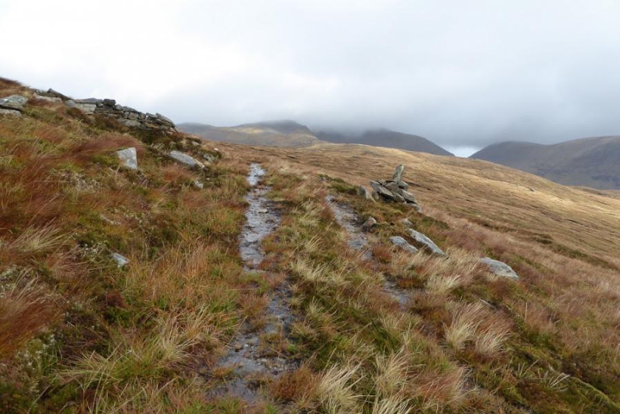
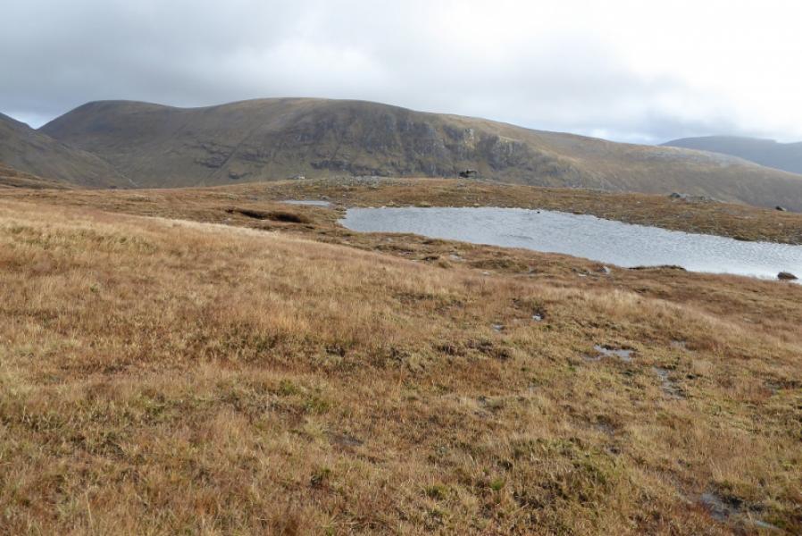
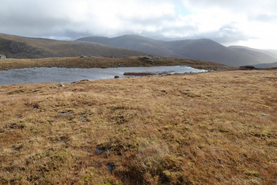
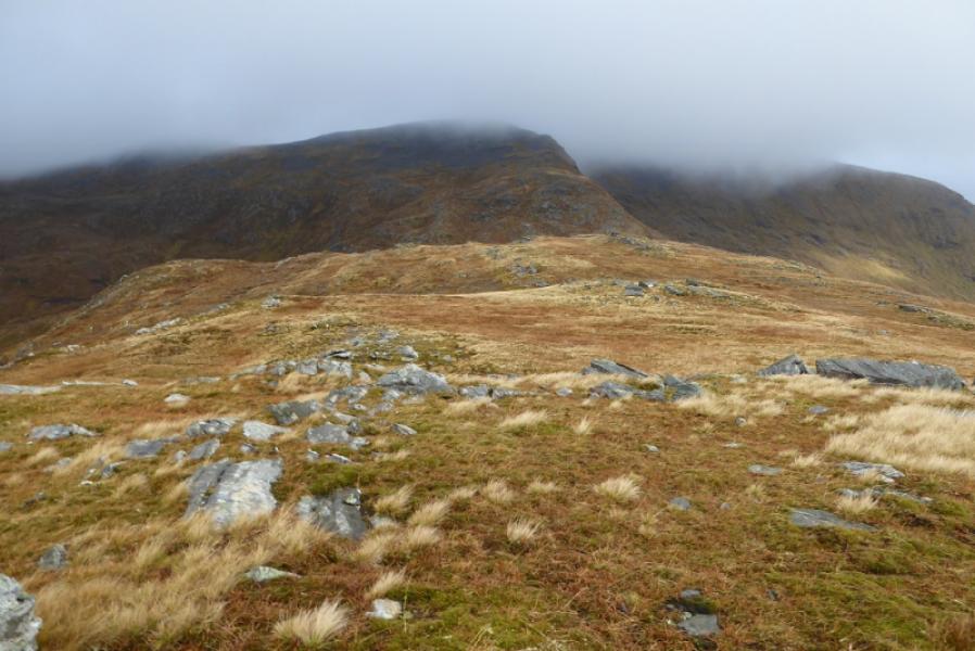
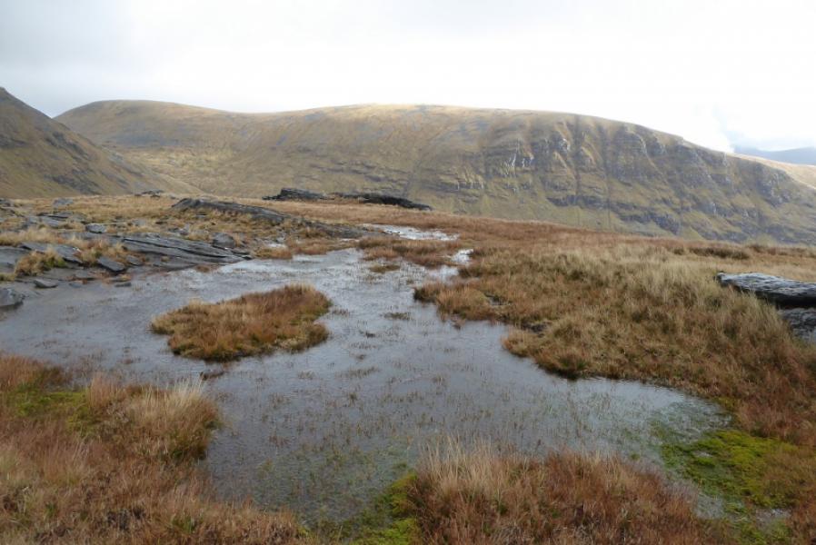
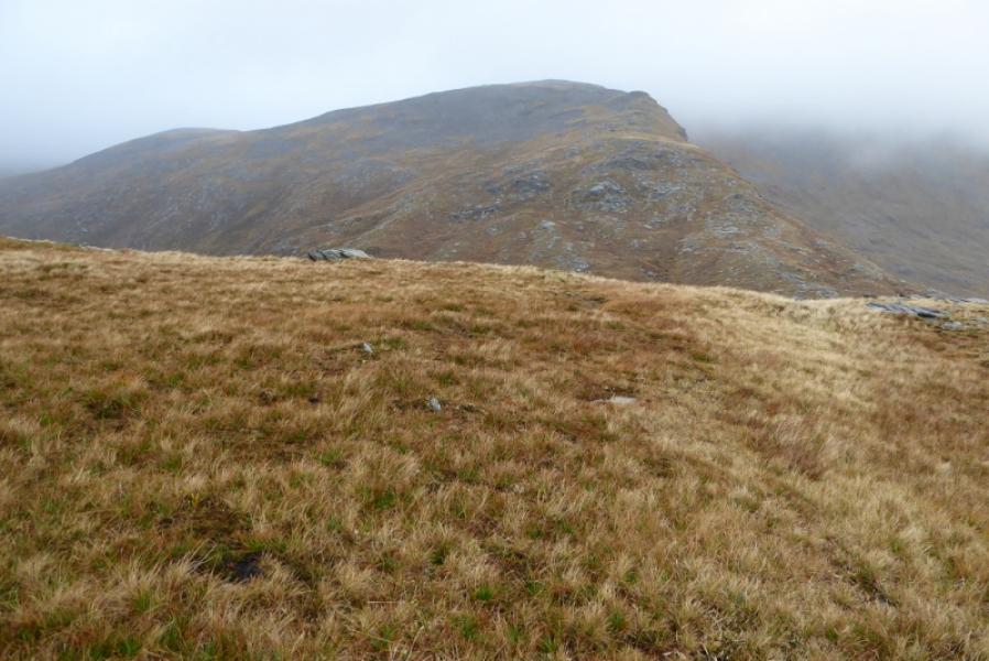
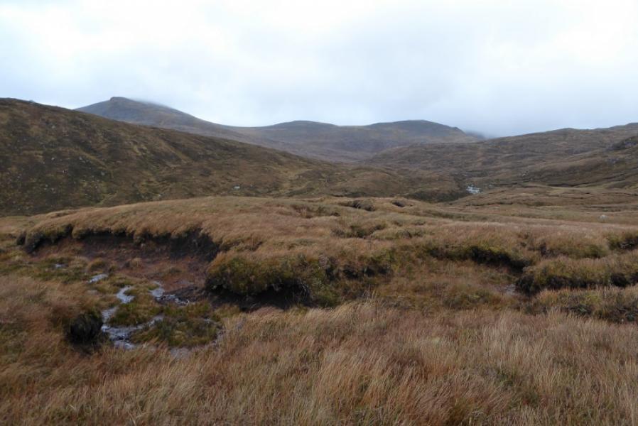
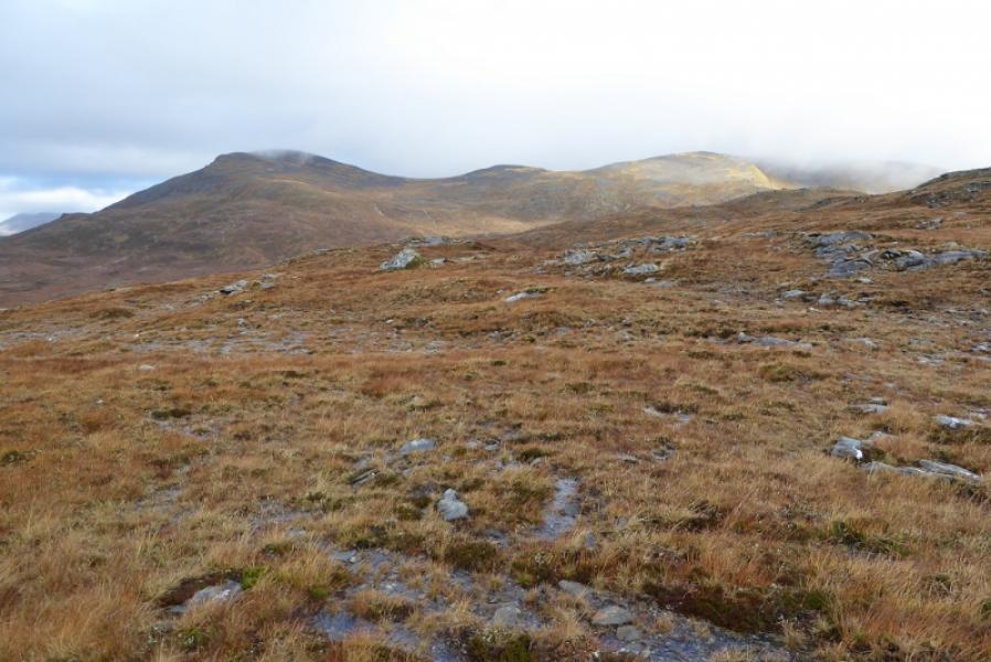
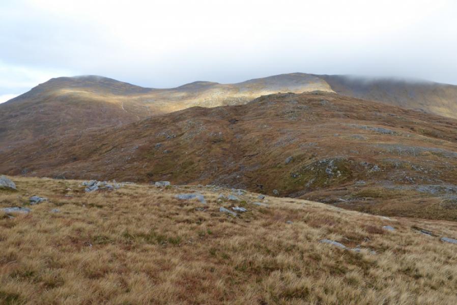
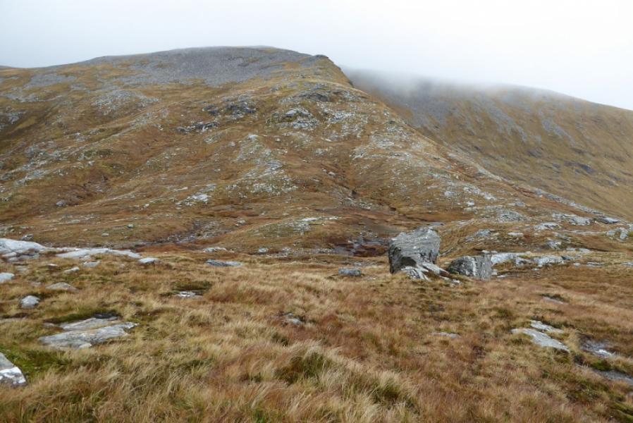
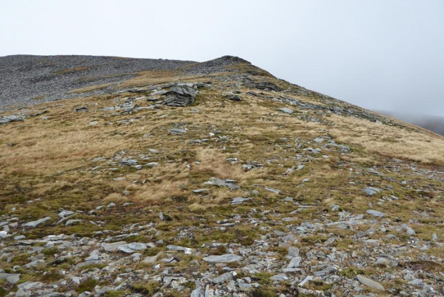
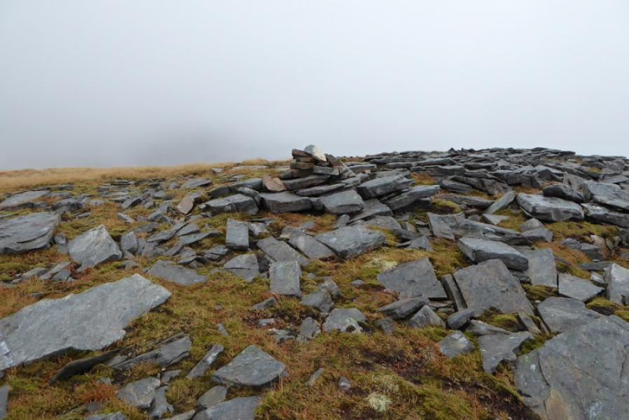
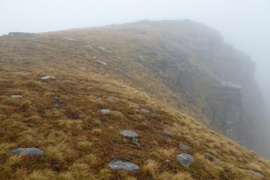
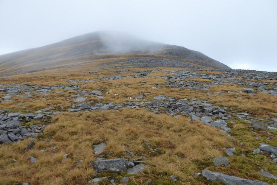
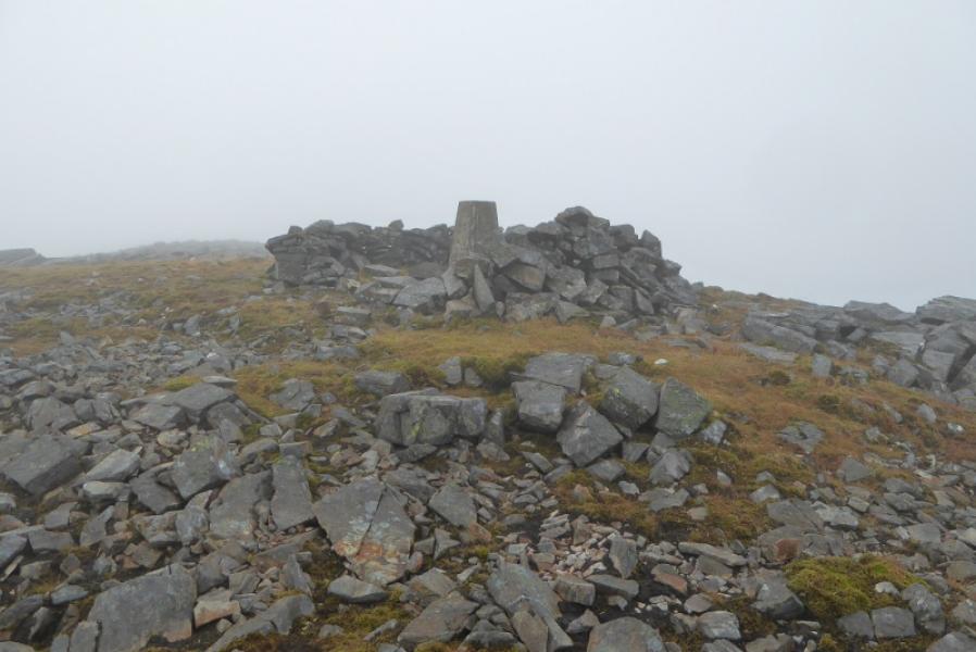
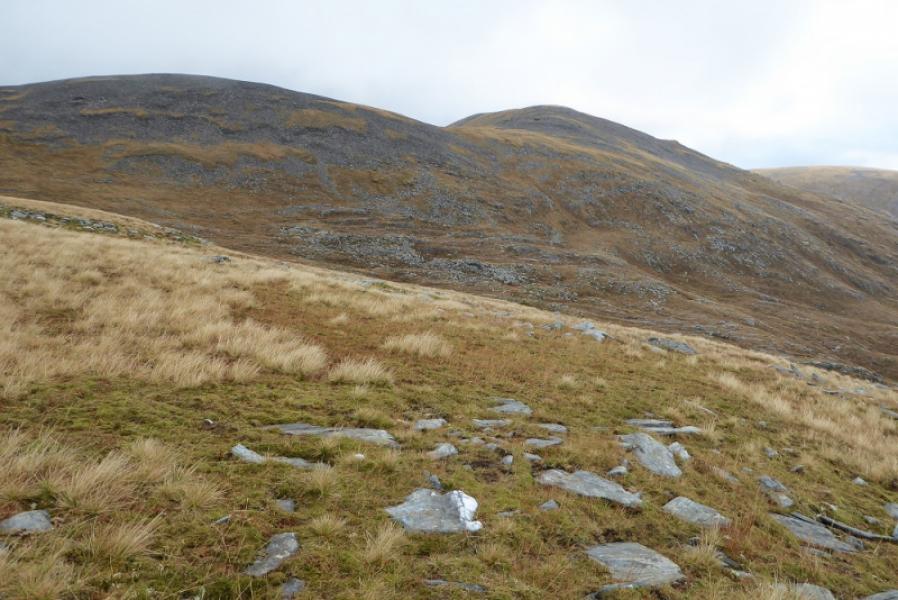
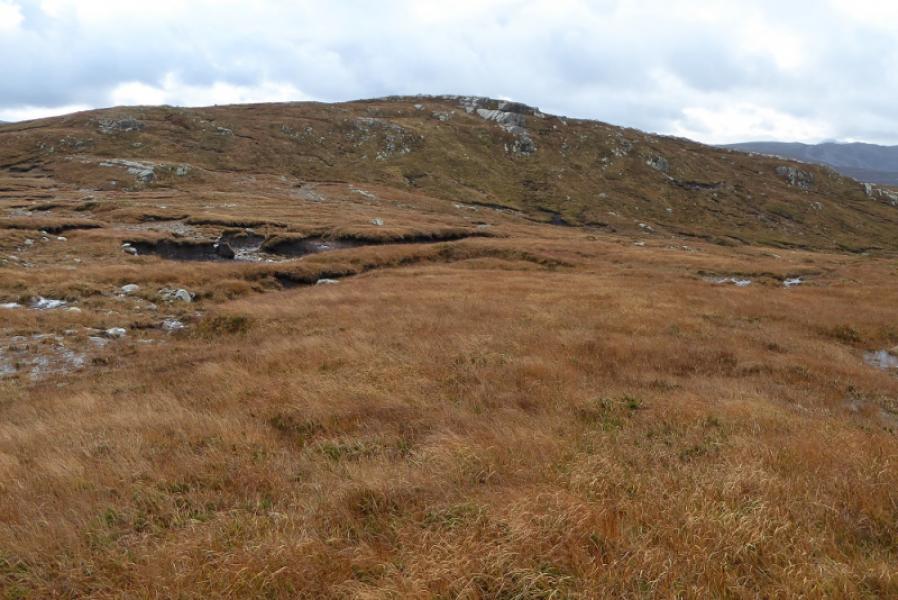
(1) Walk down the track towards Autanrynie. About 100 m before the house, take the track on the right going uphill. Ignore the left fork soon after and follow the track, steeply in places, for about 2 km, to its end at the start of Meallan Liath Beag where there is a small cairn and a recessed “shelter”. Continue along the crest of Meallan Liath Beag which undulates considerably with some deepish gaps. There is the occasional cairn with more than a hint of a path/track in places. Eventually, reach the foot of the final ascent ridge to the crest between Carn Dearg and Meallan Liath Coire Mhic Dhughaill. Ascend the ridge which is rocky in places with all difficulties easily avoidable. There is a small cairn at the top of the ridge on the crest. Follow the crest W descending to a dip then ascending NW with the steep edge on your right which looks down to Coire Loch. On the nW section, a minor top is crossed followed by a gradual descent to a “col” where the ridge splits. Take the broad ridge going SW and ascend it over grassy and stony ground to reach a plateau where a trig point inside a shelter cairn marks the summit of Meallan Liath Coire Mhic Dhughaill, 801 m. There is no cairn but the trig point may not be the highest point which may lie a little to the W. There is a small cairn some way W but this seems clearly lower than the trig point.
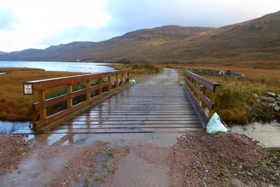
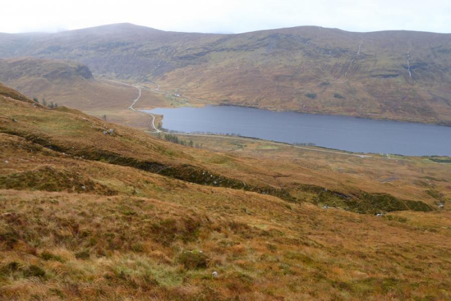
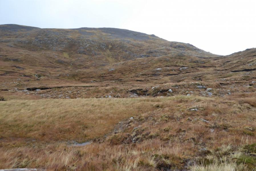
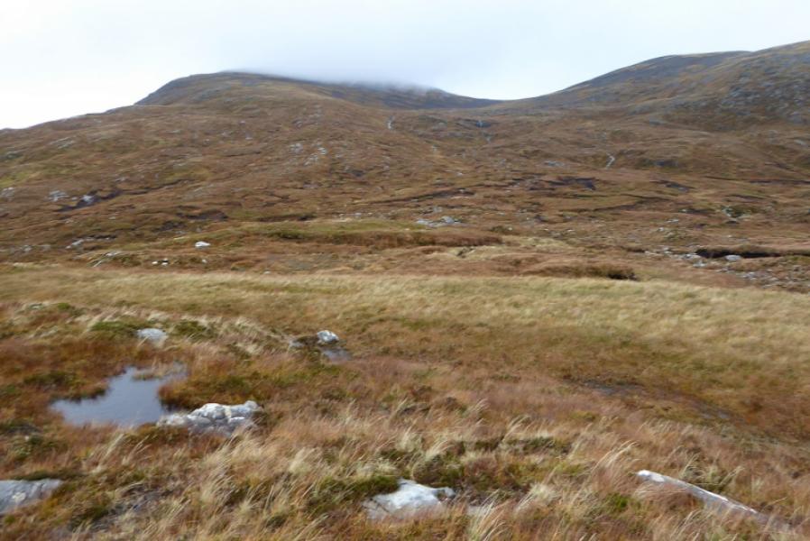
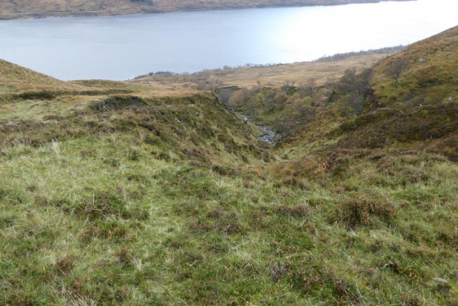
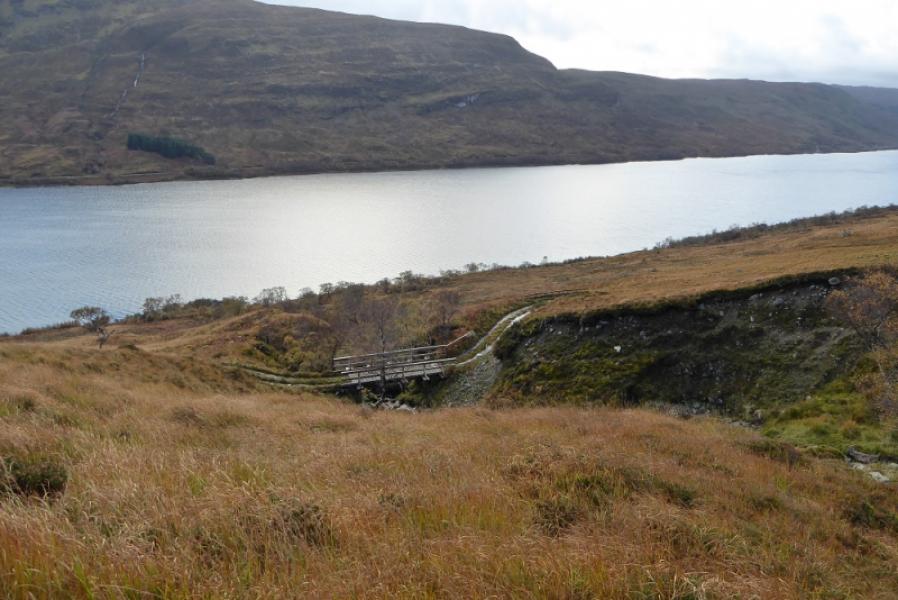
(2) Descend S down mainly easy, grassy slopes. The going seems easier a little to the left of the ridge line. Once below all the rocks, cut back left to the ridge line heading for Meall Reinidh; the best ground seems on the right and avoids most of the wet ground. Ascend Meall Reinidh, a fine viewpoint but no cairn. A direct descent towards Aultanrynie is quite steep so head W overall but weaving around to find the best ground. Aim for the stream coming down the SE end of the Leac a' Ghobhainn. Stay to the left, E, of the stream which is in a deep cut gully and weave a way down to reach a track abd bridge over the stream. Follow the track SSE to join the outward track above Aultanrynie then back to the start.
Notes
(a) This walk took place on 26th October, 2017, and on 31st July, 1998, by similar routes.
(b) Some guide books suggest passing to the left of Meall Reinidh, crossing the river then intercepting the outward track. This is not recommended as the corrie is hard going being quite boggy. The river will also be awkward to cross except in a dry spell.
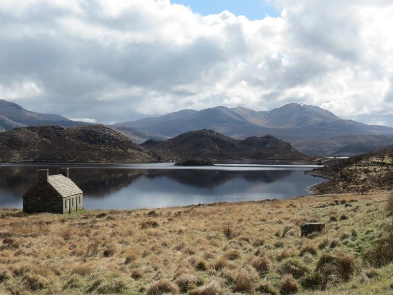
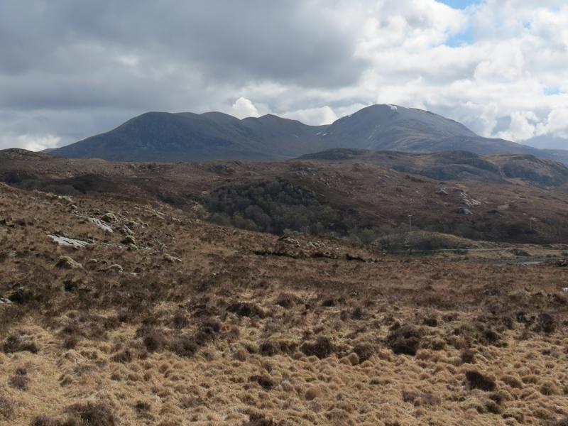
Photos - Hover over photo for caption. Click on to enlarge. Click on again to reduce.