Get Lost Mountaineering
You are here: Scotland » 16 Coigach to the Pentland Firth » Ledmore Junction to Laxford Bridge
Beinn Leoid, Meallan a' Chuaill & Meall an Fheur Loch from near Kinloch
Beinn Leoid, Meallan a' Chuaill & Meall an Fheur Loch
from near Kinloch
Start/Finish
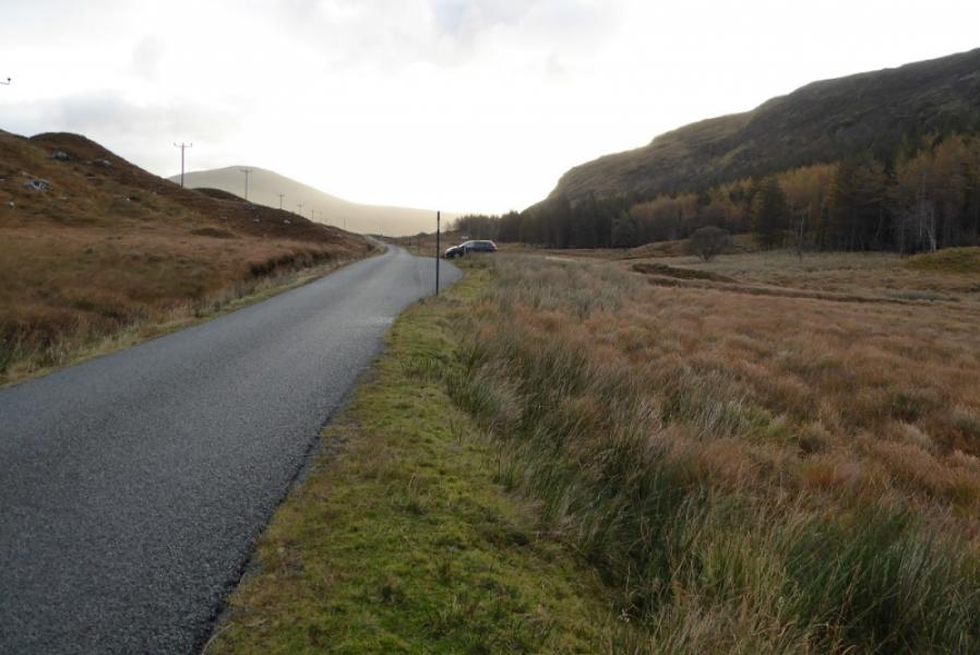
Small parking spot, behind a passing place, about 100 m east of the footbridge at NC 357 333 which is about a mile south of the cottage at Kinloch at the southern end of Loch More on the A838 road from Lairg to Durness. Kinloch is about 26 miles from Lairg and about 30 miles from Durness.
Distance/Time
17 km. About 8 – 9 hours.
Peaks
Beinn Leoid, 792 m, NC 320 294.
Meallan a' Chuail, 750 m, NC 344 292.
Meall an Fheur Loch, 613 m, NC 361 310. OS maps 15 & 16: Loch Assynt and Lairg & Loch Shin.
Introduction
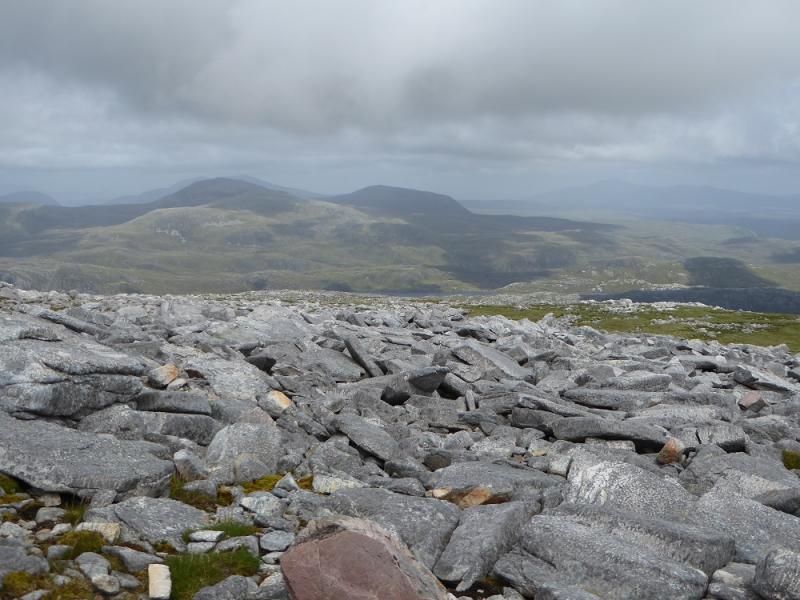
This is a tough walk but, on a clear day, there are excellent views to Ben Hee, Carn an Tionail, Arkle, Ben Stack, Quinag and Ben More Assynt. The least pleasant part of the route is getting from the end of the initial stalker's path to the path coming up from Loch More. It seems better to have this at the start of the day than at the end hence Beinn Leoid is ascended first unlike many guidebooks which ascend it last.
Route
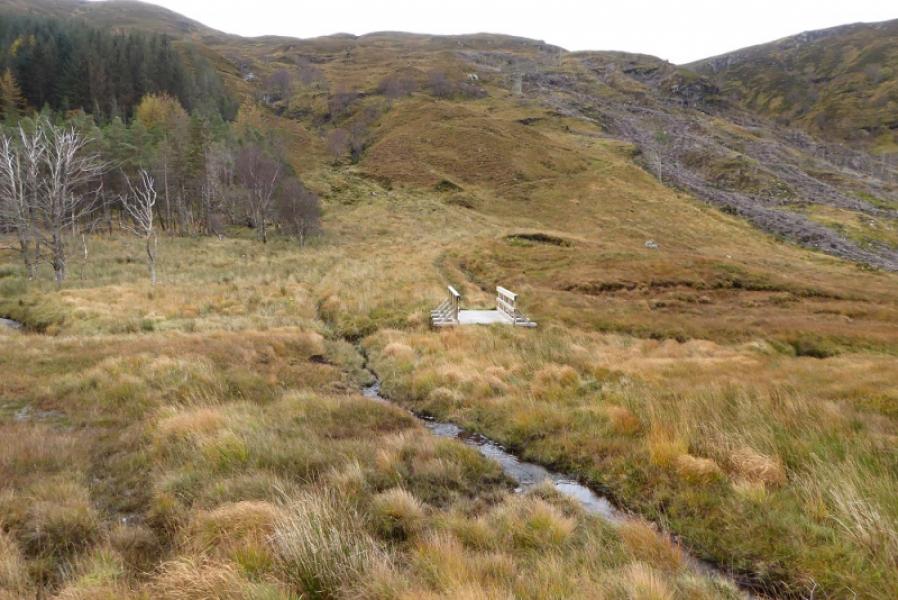
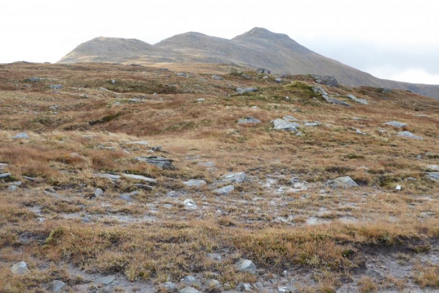
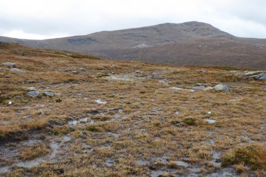
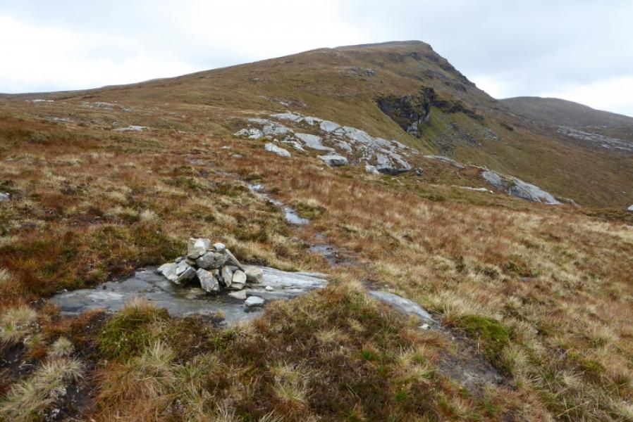
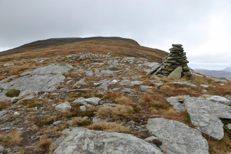
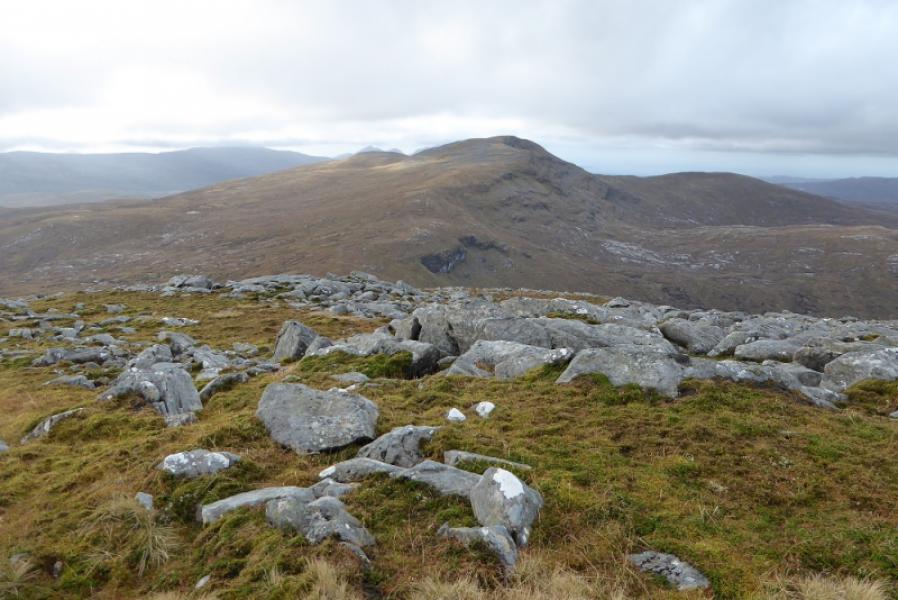
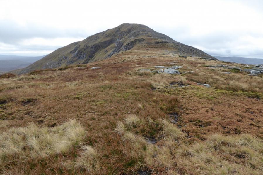
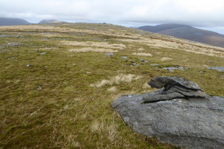
(1) Cross the footbridge and follow the, generally excellent, stalker's path which zig zags up the steep hillside before ending in the col between Meall na Leitreach and Meallan a' Chuaill. From here, make a descending traverse, roughly SW to SSW, trying to lose as little height as possible to join the path from Loch More. This path is not obvious until reached but can then be easily followed to a cairn in the col between Meallan a' Chuaill and Beinn Leoid. From here, walk up the E ridge, passing a tall cairn on a lower shoulder. Continue up on a faint path to reach a trig point inside a shelter cairn which is the summit of Beinn Leoid, 792 m.
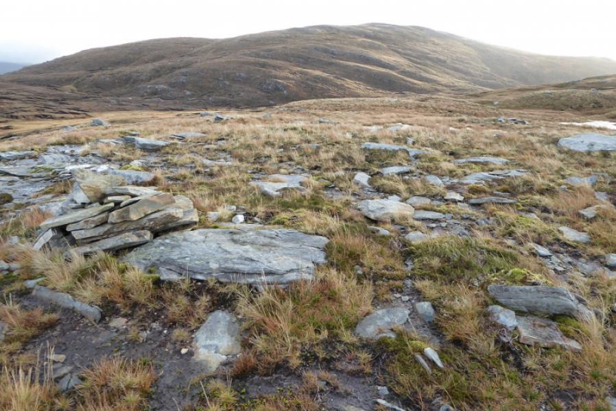
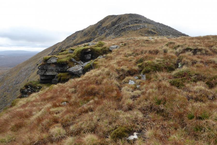
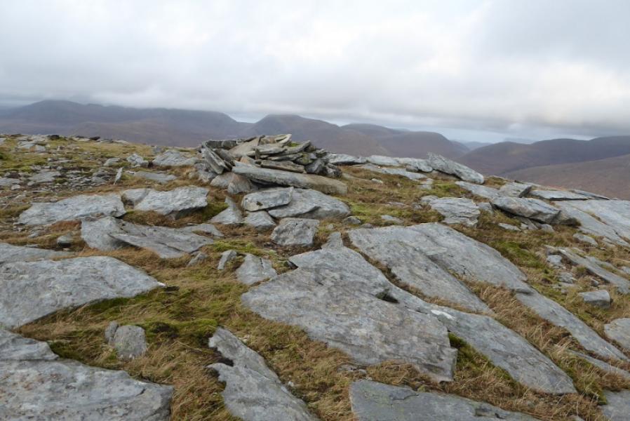
(2) Retrace down the E ridge then start picking a way up the steepish slopes of Meallan a' Chuaill. Higher up, much of the loose rock can be avoided on the right. Continue up to reach a tiny cairn on a grassy promontory which is the summit of Meallan a' Chuail, 750 m.
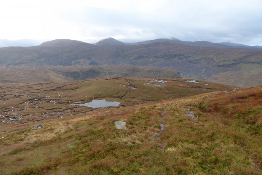
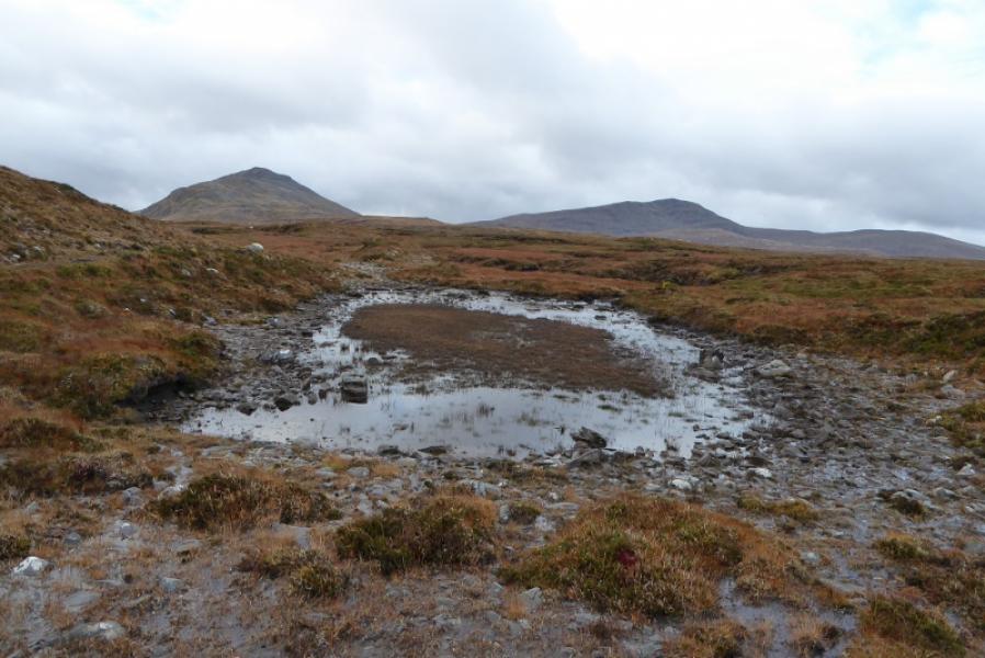
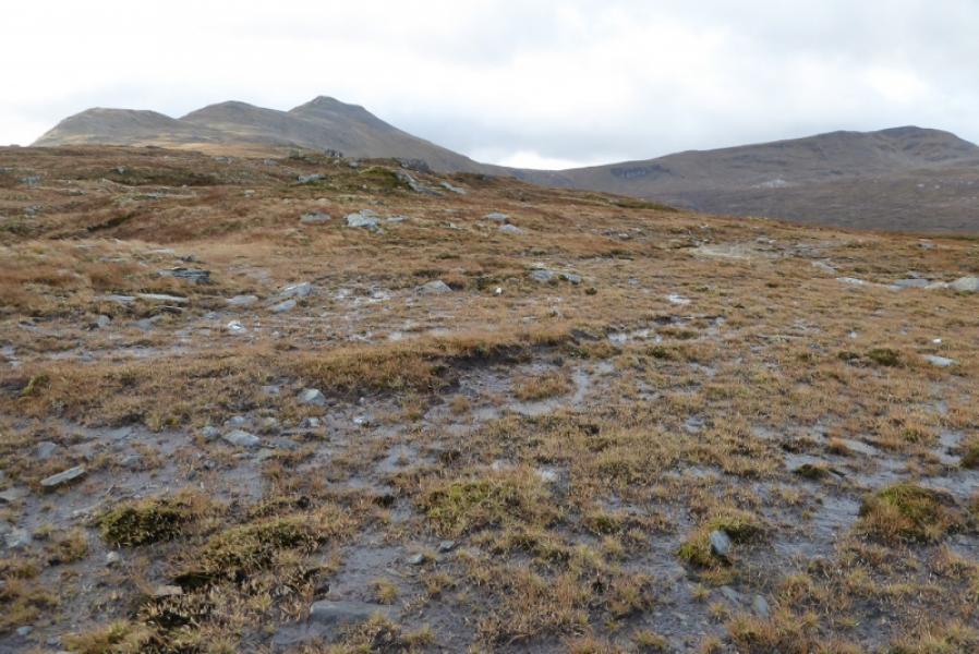
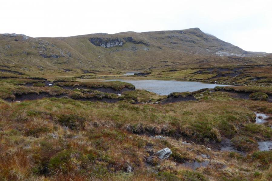
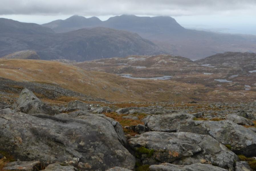
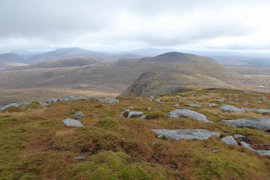
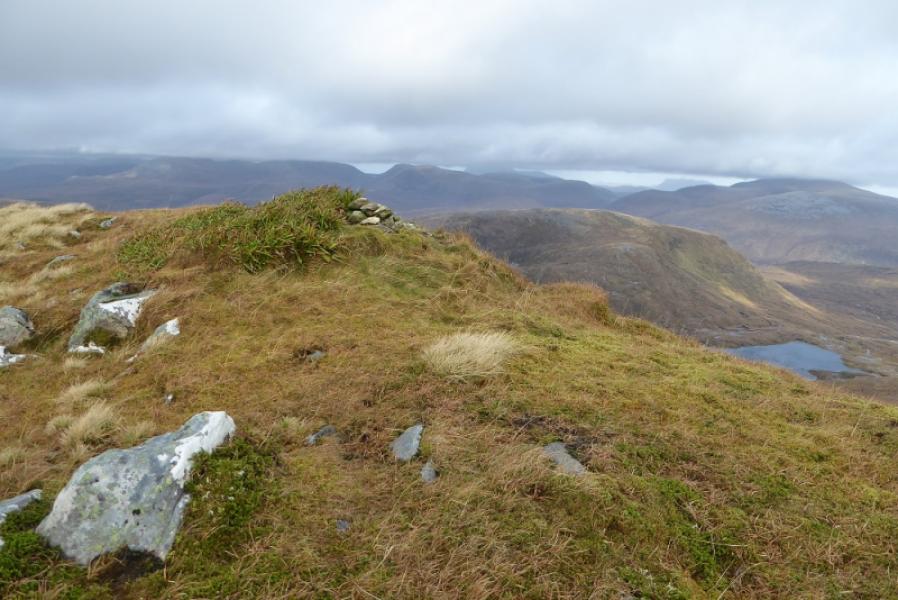
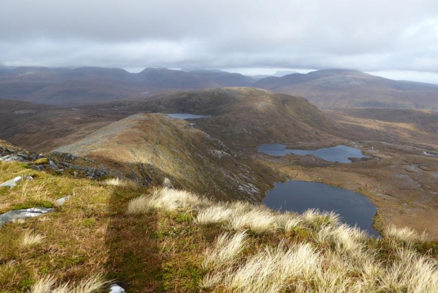
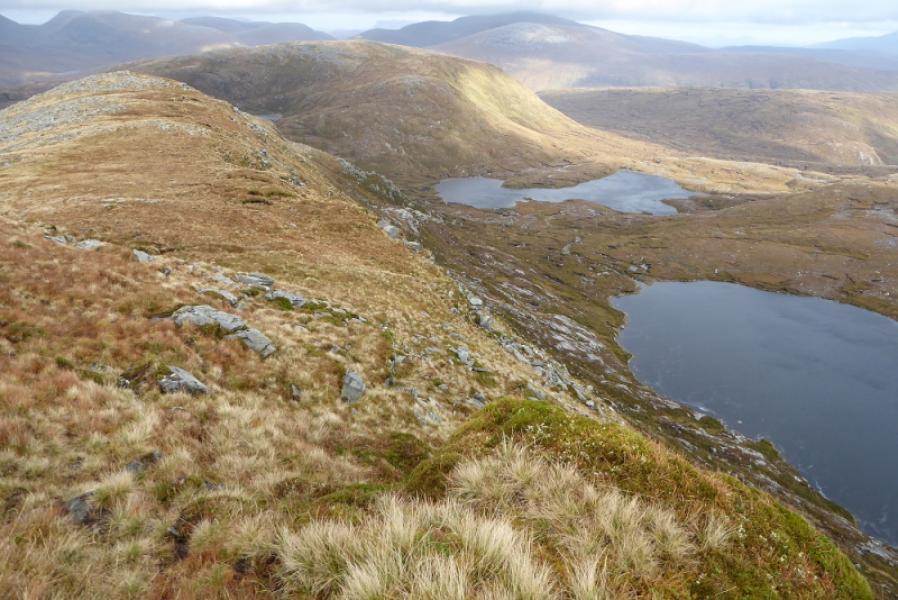
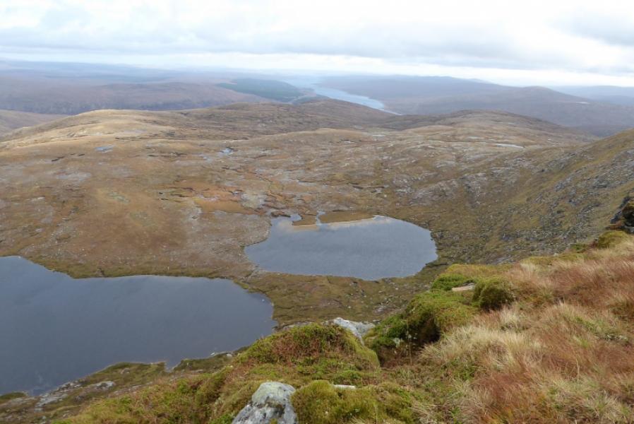
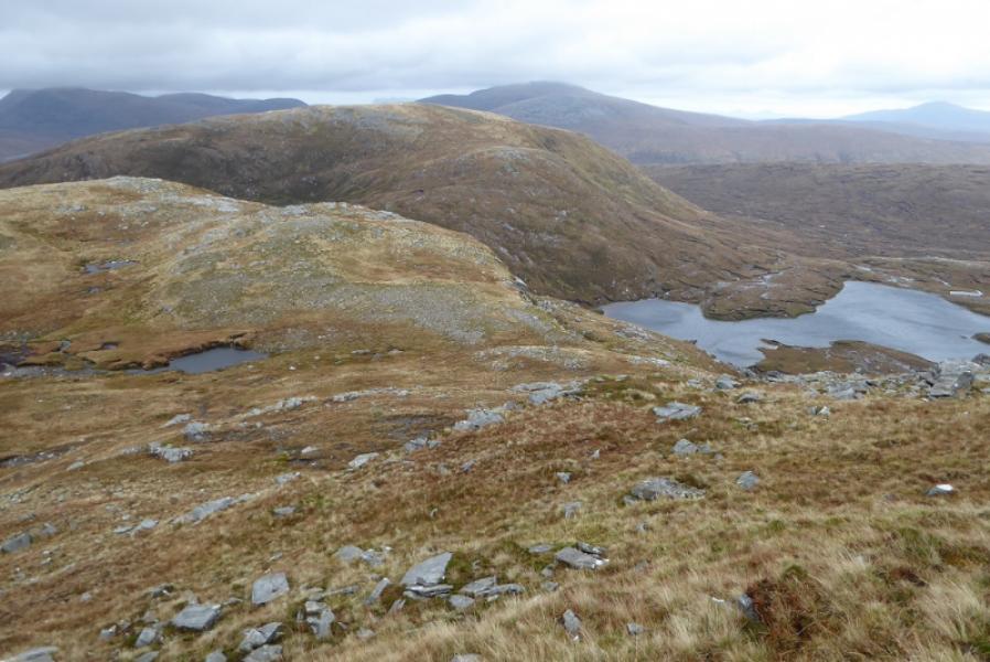
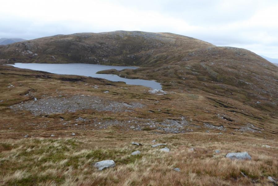
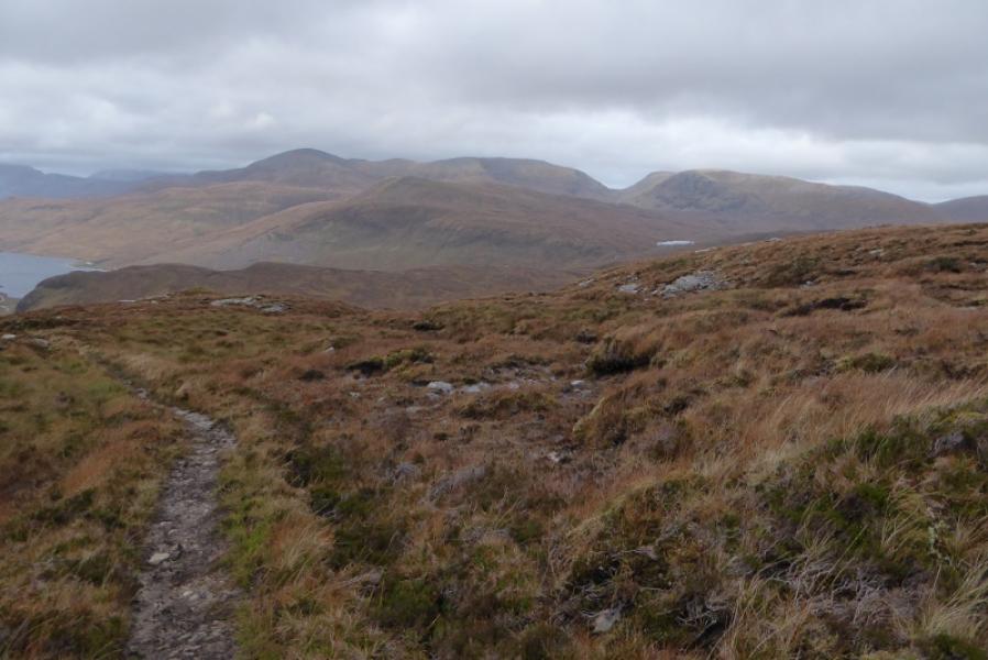
(3) Descend the N ridge which is rocky in places and needs care when wet or in strong winds but there is no scrambling. Below to the right are some attractive lochans and Loch Shin may be seen in the distance. There are a few minor tops on the ridge. The last top before Loch Cul a' Mhill, below Meall an Fheur Loch, is very steep on its right hand side so it is easiest to traverse around its left hand side then pick a way to the stream flowing out of Loch Cul a' Mhill; this is usually easy to cross. Pick a way up the mainly grassy slopes to reach a grassy plateau and head for its right hand side, E. There is a medium cairn on a low rocky outcrop which is the summit of Meall an Fheur Loch, 613 m. This is the only cairn on the plateau and is not seen until fairly close.
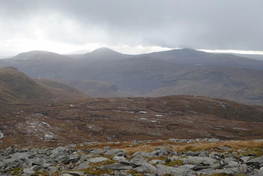
(4) Descend NW, down fairly straightforward grassy slopes to intercept the outward path and follow it back down to the road.
Notes
(a) This walk took place on 27th October, 2017, and on 29th July, 1998, but in reverse.
Photos - Hover over photo for caption. Click on to enlarge. Click on again to reduce.