Get Lost Mountaineering
You are here: England » Peak District » Bleaklow & Howden Edge from Torside, Woodhead & Langsett
Bleaklow Stones, Grinah Stones, Barrow Stones & Swains Head from Woodhead Pass
Bleaklow Stones, Grinah Stones, Barrow Stones & Swains Head from Woodhead Pass
Start/Finish
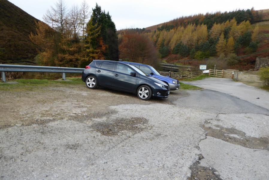
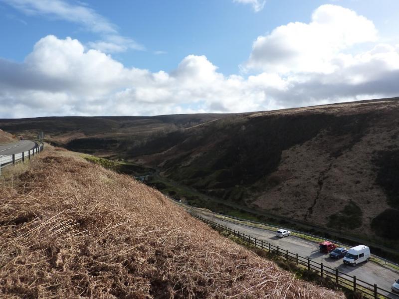
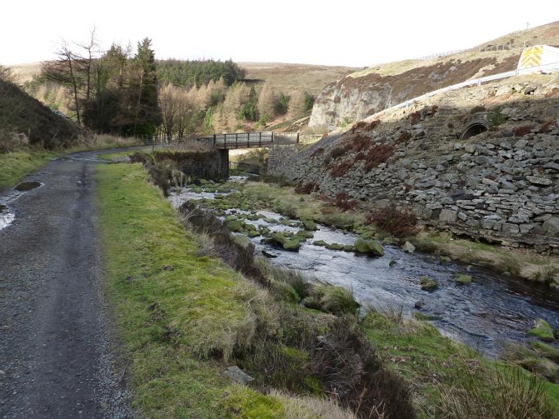
Car park near the start of the Woodhead tunnels. This is near the bridge over the River Etherow at SK 113 998. If coming from Crowden or Glossop on the A628, Woodhead Pass road, go past the viaduct over the northern spur of Woodhead Reservoir. About a mile further east is a very large and deep car park, well used by lorries and HGV's, which has a cliff at its back and, usually, a portable snack bar. Continue east. On the next bend are two smaller car parks on the left. Keep going and pass a lay by on the left. In about 400 m, there is reverse fork on the right which leads down to a car park. If this is full use any of the other parking places mentioned above and use a path/track from the bend down to the car park. This turning is harder to spot if coming from the Sheffield direction but if you miss it, just turn around.
Distance/Time
13 km. About 5 - 6 hours.
Peaks
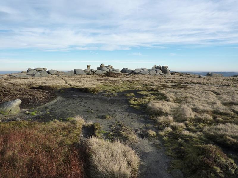
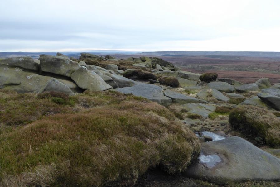
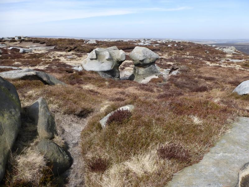
Bleaklow Stones, c620 m, SK 112 965.
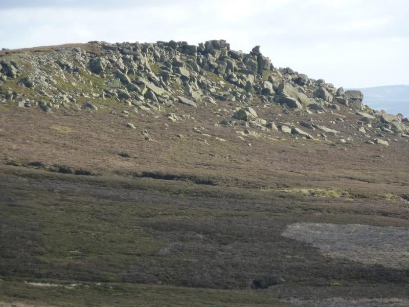
Grinah Stones, c580 m, SK 130 961.
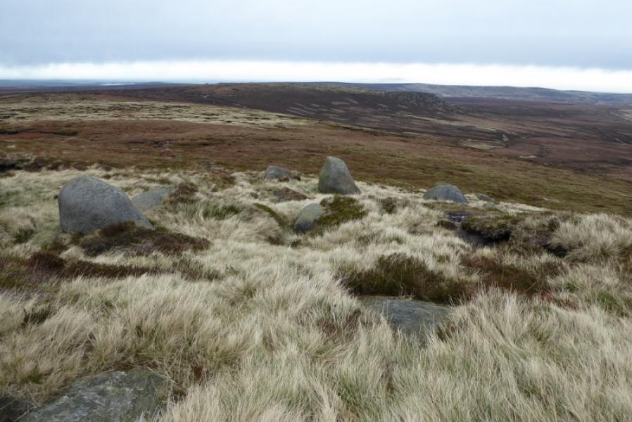
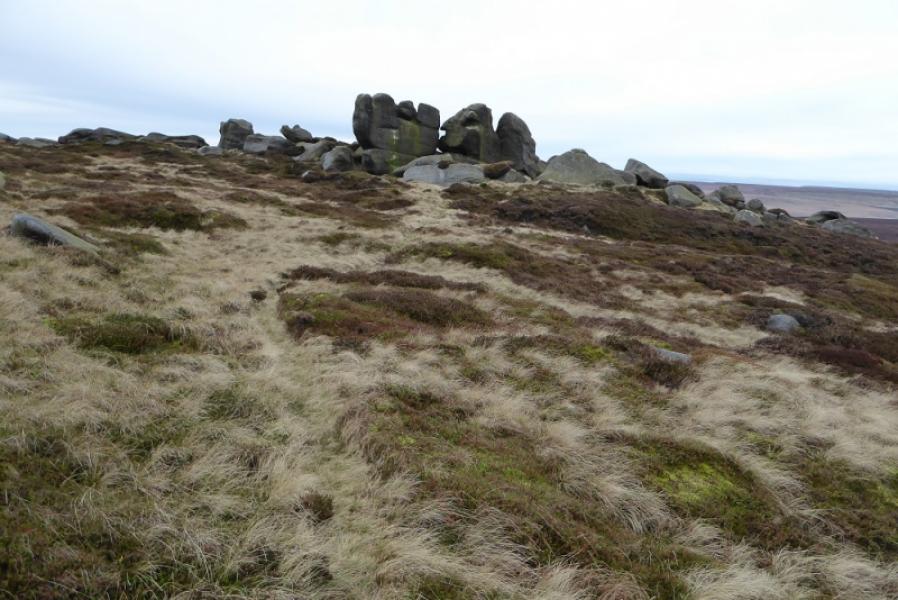
Barrow Stones, c590 m, SK 133 968.
Swains Head, c 500 m, SK 133 983. (Not a peak)
OS 1:50 000 Sheet 110: Sheffield & Huddersfield. OS Outdoor Leisure 1: Dark Peak.
Introduction
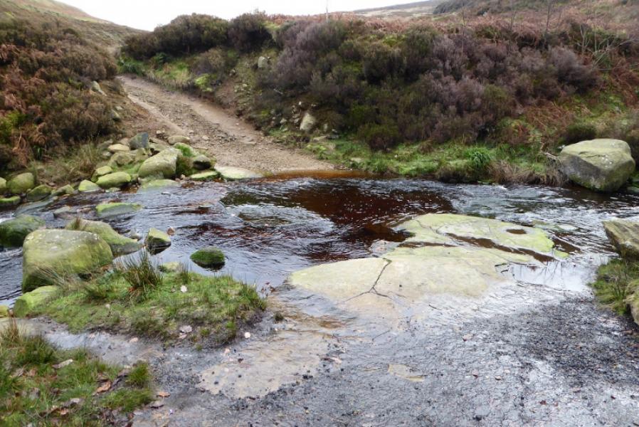
This is a fine, but tough, walk in the Dark Peak which, in good weather has good views of the surrounding countryside. Some of the going is quite boggy, even in a dry spell, and gaiters are recommended. This walk can easily be accomplished on a short winter's day. It is recommended when the ground is frozen as that makes it less boggy! In thick mist, route finding needs a lot of experience on this very featureless terrain so save it for a clear day. The ford at the bottom of Near Black Clough has to be crossed to reach Far Black Clough; this may be difficult in spate conditions in which case it may be better not to cross the bridge but stay on the N side of the river, most of which goes up Near Black Clough, and cross the smaller stream coming from the east.
Route
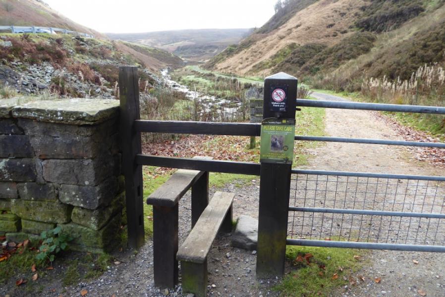
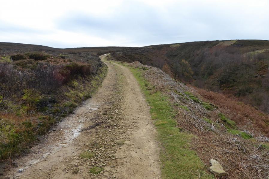
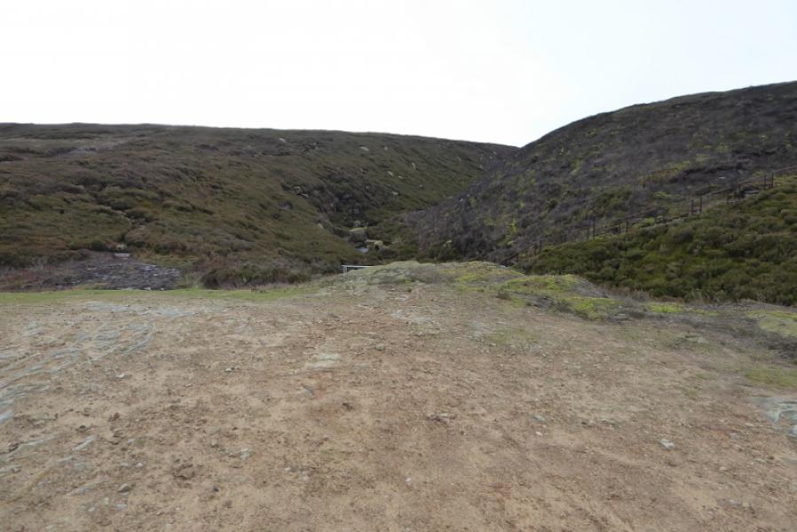
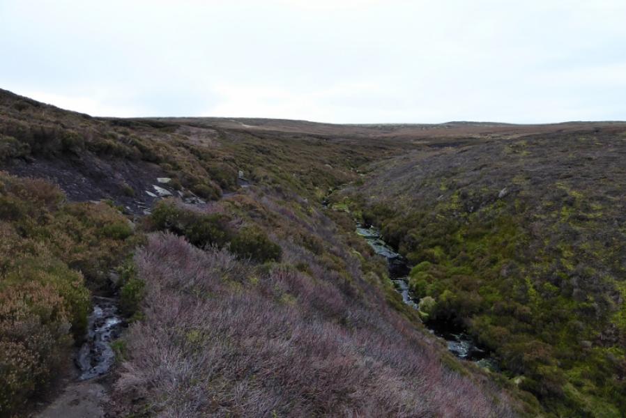
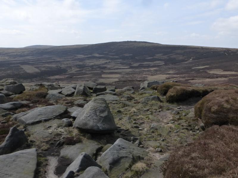
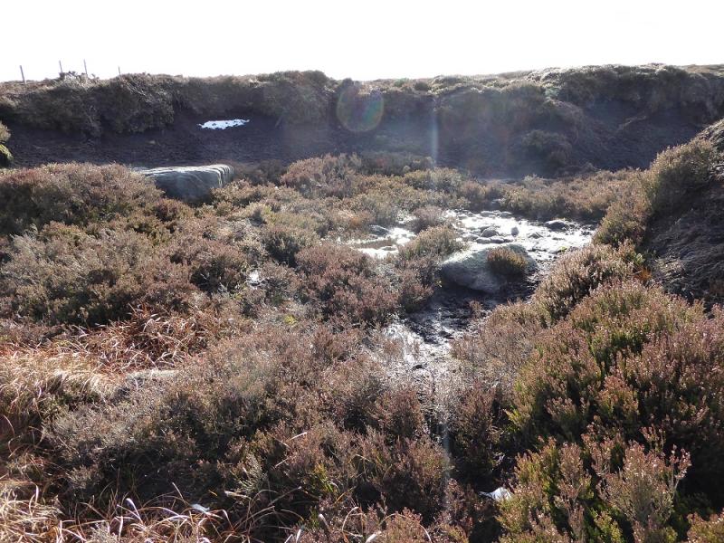
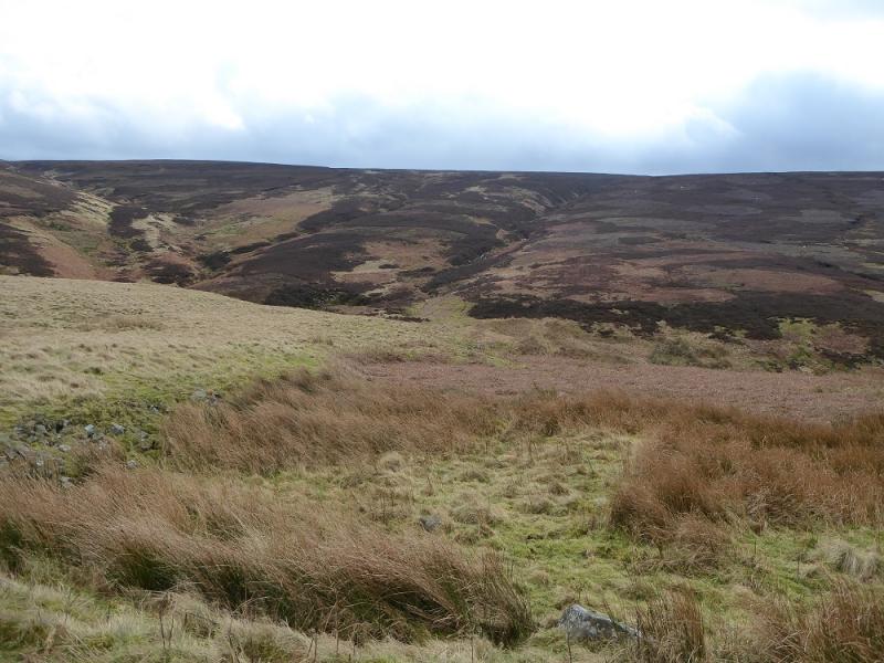
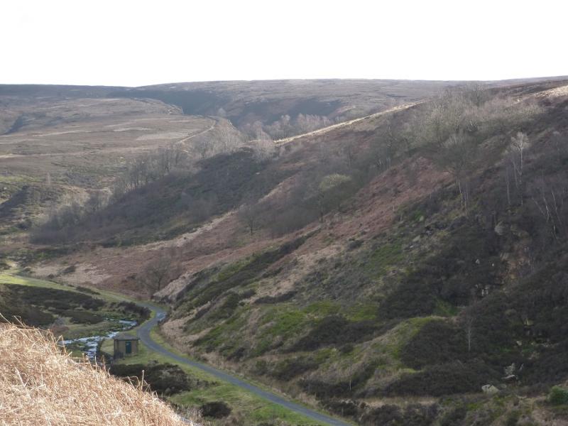
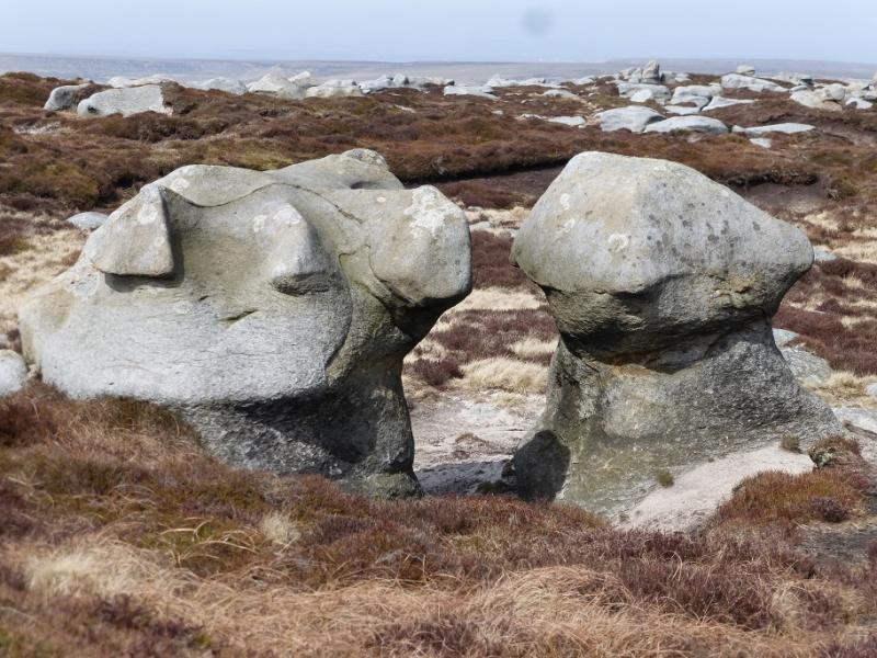
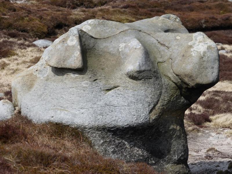
(1) From the car park by the bridge over the River Etherow, cross the bridge and follow the track east to soon reach the ford. Cross over and follow the track up the E bank of Far Black Clough to its end at a large “car park”. An obvious path takes over. Follow this up the side of the clough. It is quite boggy in places but easy to follow. Higher up, it does get fainter before becoming difficult to follow. Try to follow the main stream which is heading roughly SSE. Higher up, the clough splits into two roughly equally spurs. Take the right “fork” and you should pick up the faint path again if you have lost it. Continue up, probably losing the path in places (it is likely to be off to your right). As the boulders on Bleaklow Stones are neared, the path becomes easier to follow and it passes just to the left of the promient anvil shaped boulder. There is no cairn and no obvious highest point but this is Bleaklow Stones, c620 m. There are plenty of rocks to shelter behind in bad weather.
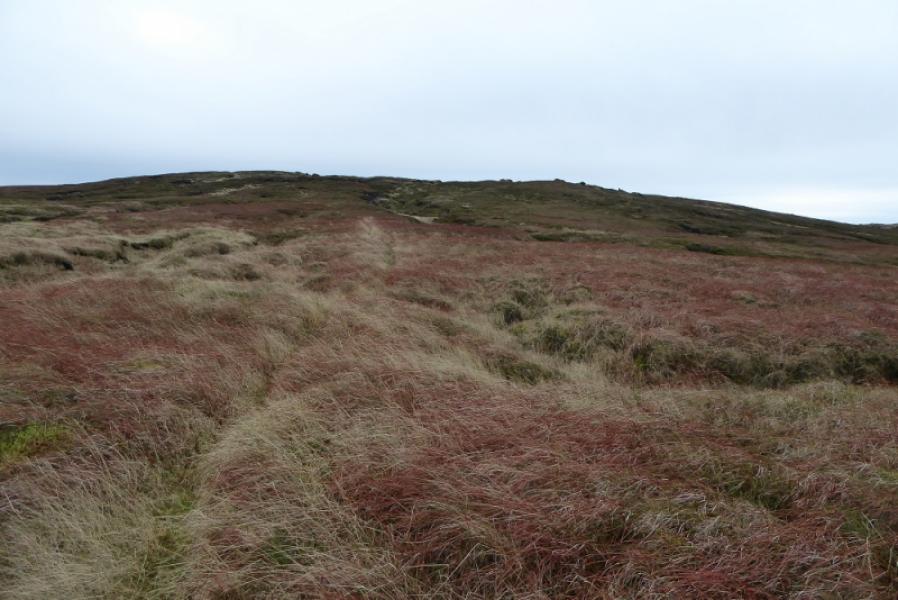
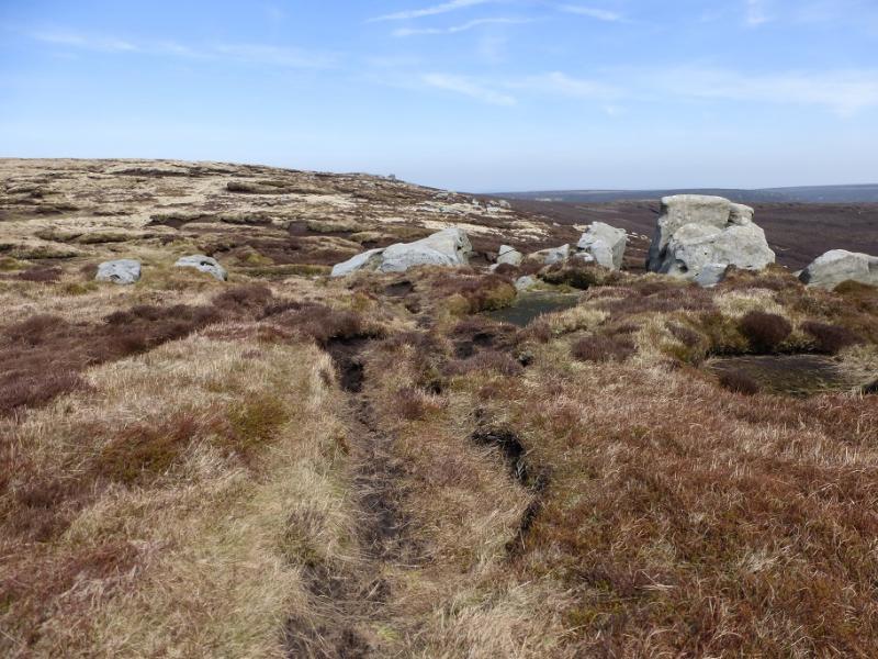
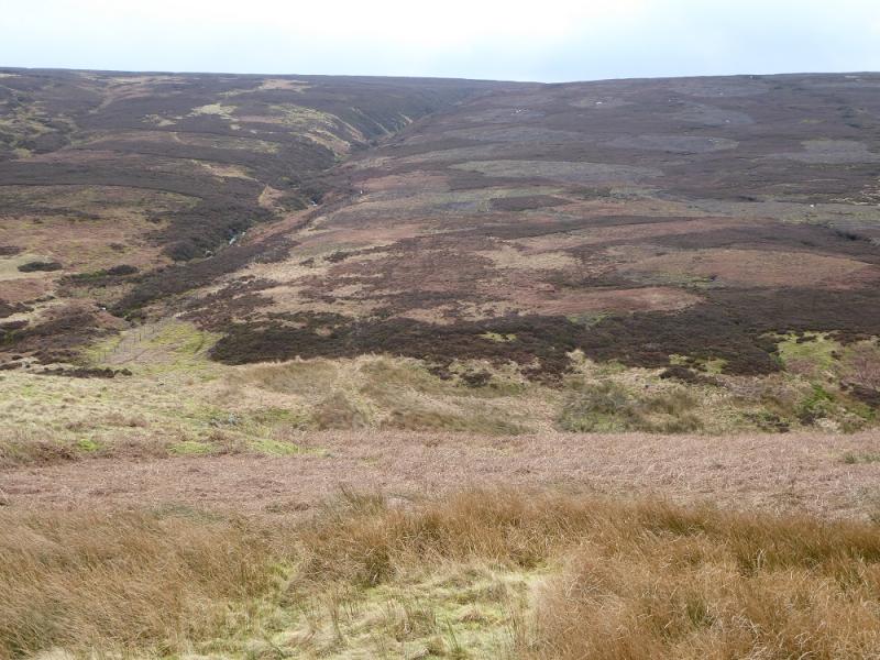
(2) In clear weather, Grinah Stones should be obvious about 2 km to the E. Find the path going in this general direction and follow it, losing some height, before ascending up again. Parts of this path are very boggy but better than staying higher up. Reach the scattered boulders where, again, there is no cairn or obvious highest point. This is Grinah Stones, c580 m.
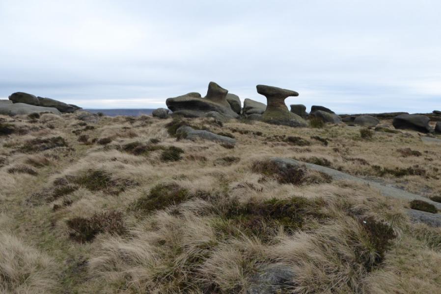
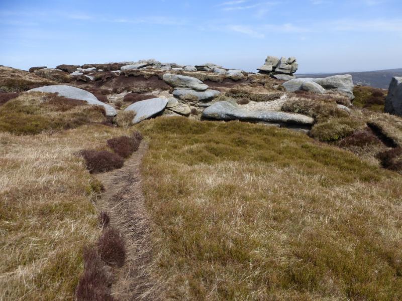
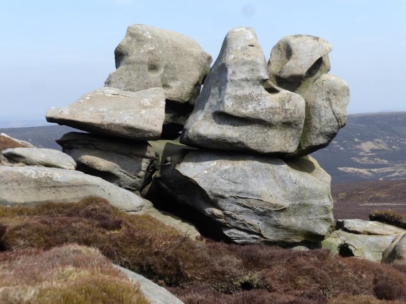
(3) The edge now turns N and a path heads towards Barrow Stones which are well spread out. There is a path on their E side or one can walk through the stones, some of which have interesting shapes. Again, there is no cairn or obvious highest point but this is Barrow Stones, c590 m.
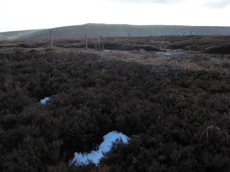
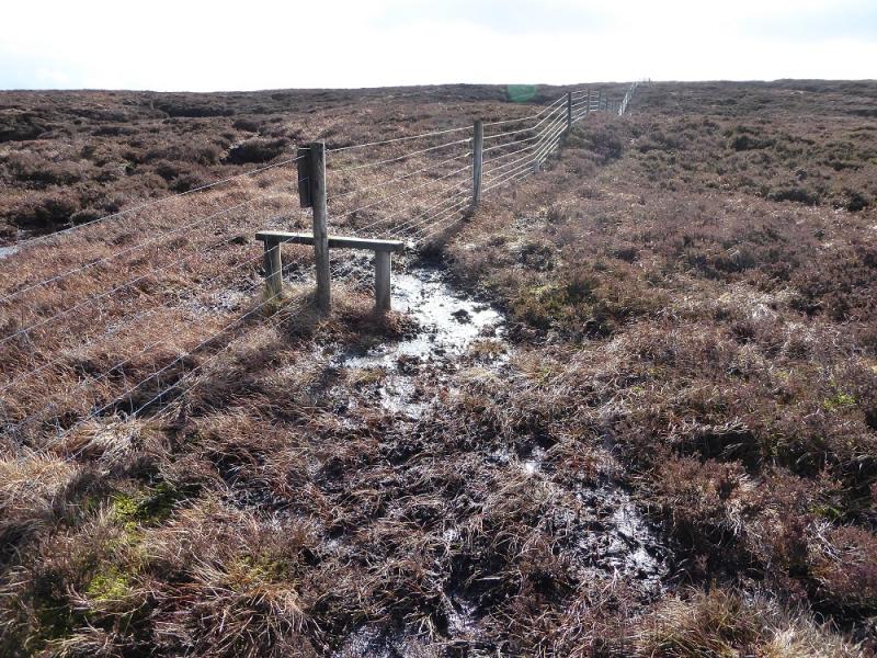
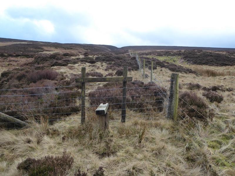
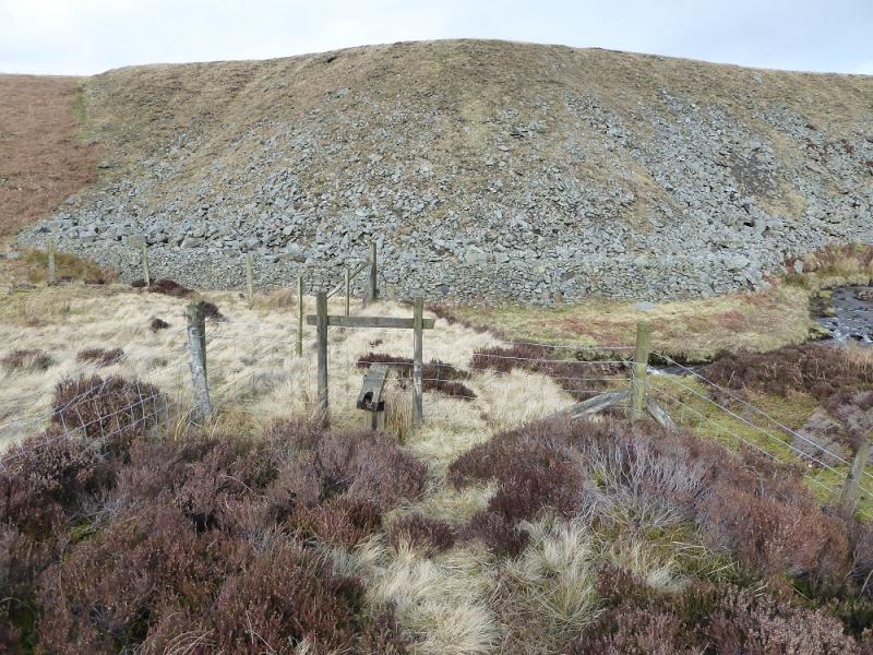
(4) Descend roughly N and soon meet a fence. Cross over and descend heathery, mainly pathless slopes. Try to aim straight for Swains Head, virtually due N. The “valley” botom needs care to cross as it can be very wet and rough. Continue up on to the crest to reach Swains Head, c 500 m, which is marked by nothing except a stile over a fence. Some may want to check their position with a GPS but if you are in the right place then a fence descends to the N.
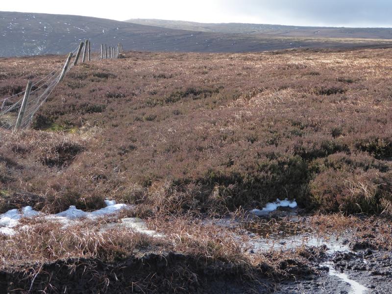
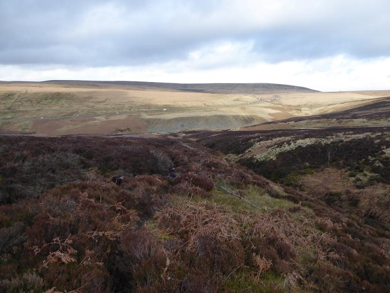
(5) Follow the fence descending N, keeping to the path on its left before the fence follows the opposite side of the clough. A stream soon appears. Do not be tempted to cross it as the path is always on its left, W, side. The path is rough and boggy in places but fairly easy to follow. Much lower down, the fence crosses the clough to join the path. Continue down to the valley bottom and cross the main stream flowing W. Follow a vague path on its N side until the going becomes too rough so then drift higher and eventually join the road. Walk down this which can be very unpleasant with the traffic until the minor road to the car park is reached.
Notes
(a) This walk took place on 13th November, 2107.
Photos - Hover over photo for caption. Click on to enlarge. Click on again to reduce.