Get Lost Mountaineering
You are here: England » Peak District » Kinder, Winhill, Castleton, Mam Tor, Rushup Edge, Brown Knoll & South Head from Ladybower/Bamford to Chapel-en-le-Frith Road
Winnats Pass, Limestone Way & Cave Dale from Castleton
Winnats Pass, Limestone Way & Cave Dale from Castleton
Start/Finish
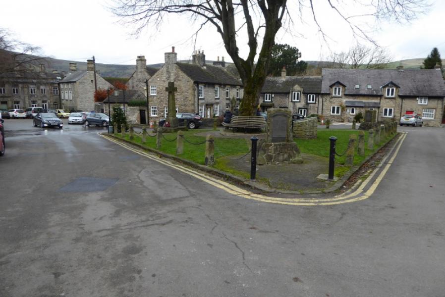
Castleton village. Free parking is available on the E side of the village. Otherwise the best pay car park is the Visitor Centre on the W side of the village where there are information and toilet facilties. On 18/11/17, the old road towards Mam Tor was free to park on as all the Pay and Display machines had been vandalised.
Distance/Time
7 km. About 3 hours.
Peaks
No peaks but the highest point on theN side of Winnats Pass is about 400 m. The highest point on the whole route is about 420 m where the Limestone Way is joined.
OS Outdoor Leisure 1: Dark Peak
Introduction
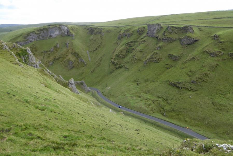
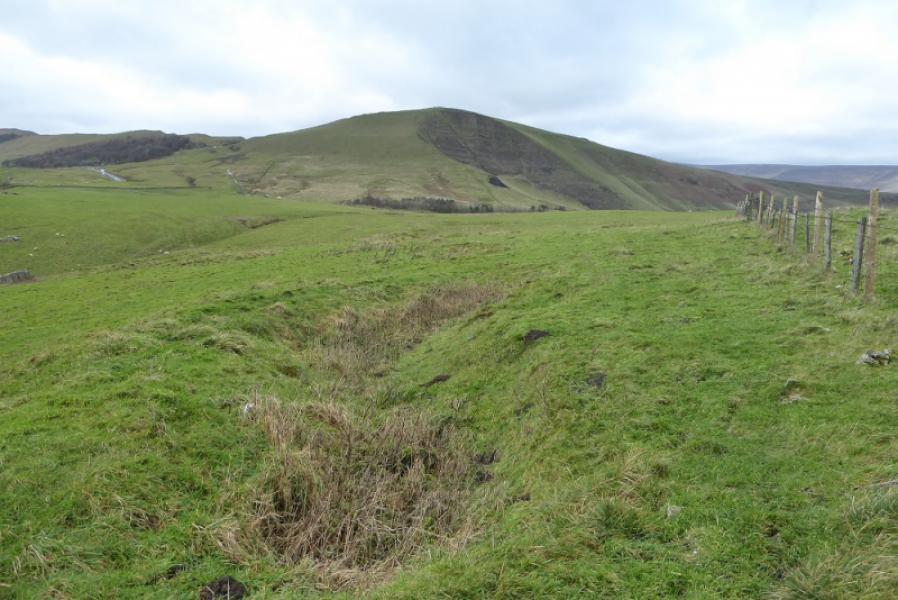
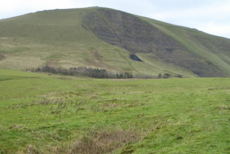
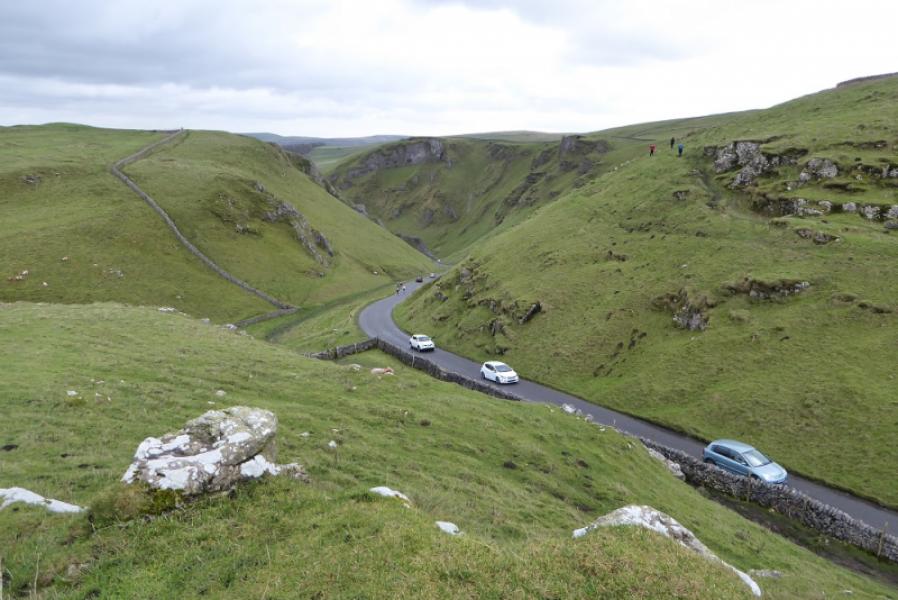
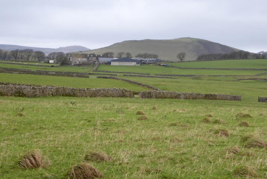
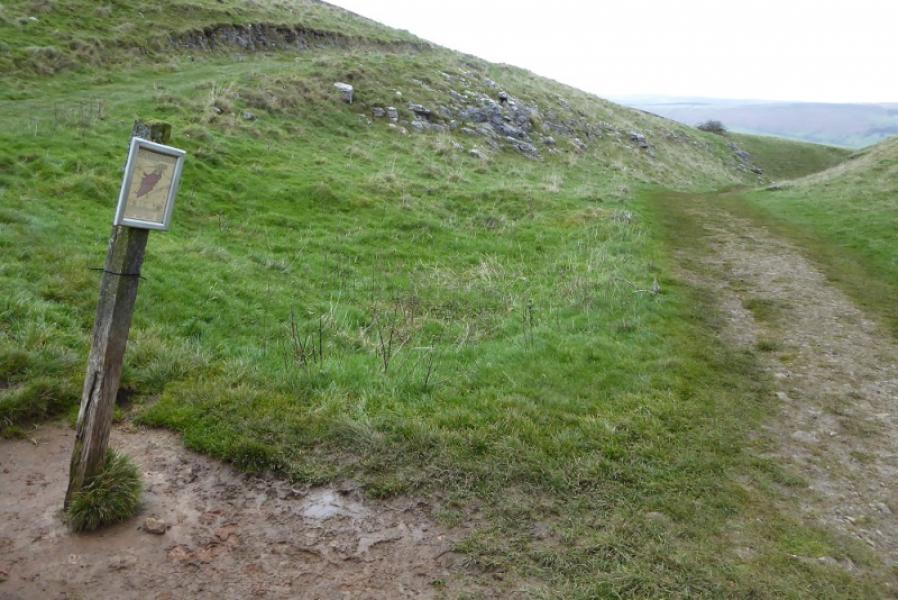
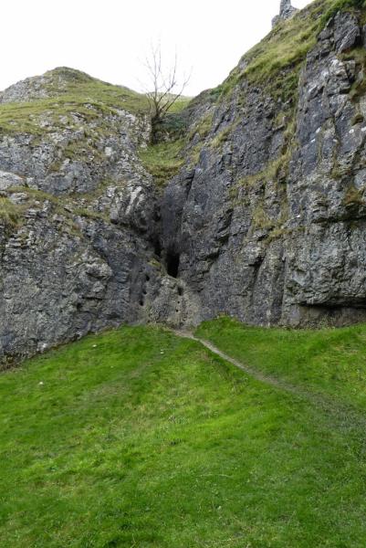
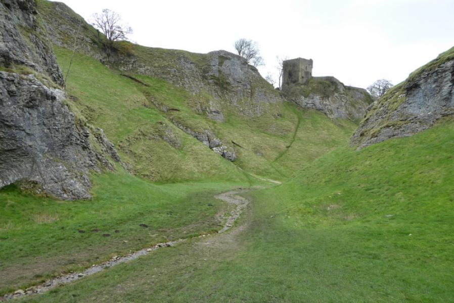
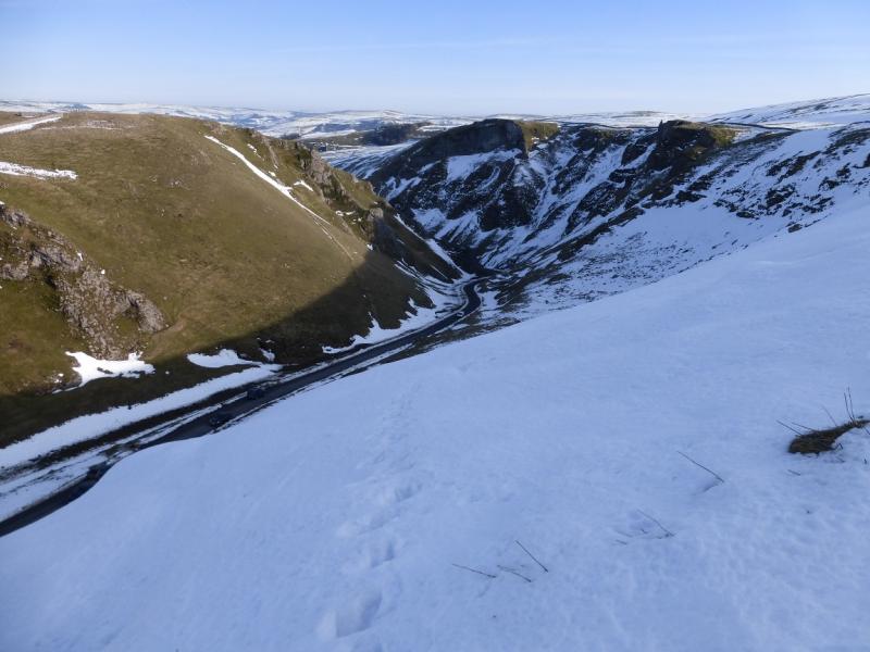
This is a short but very interesting walk in the Dark Peak which, in good weather has good views of Win Hill, the Mam Tor ridge as well as the local area around Castleton. The ascent up the N side of Winnats Pass is quite steep and can be slippery. The descent down the Limestone Way is steep and stony in places and can be slippery. Cave Dale is probably the most interesting part of the route and one can spot various caves and potholes (sealed off) from the Limestone Way.
Route
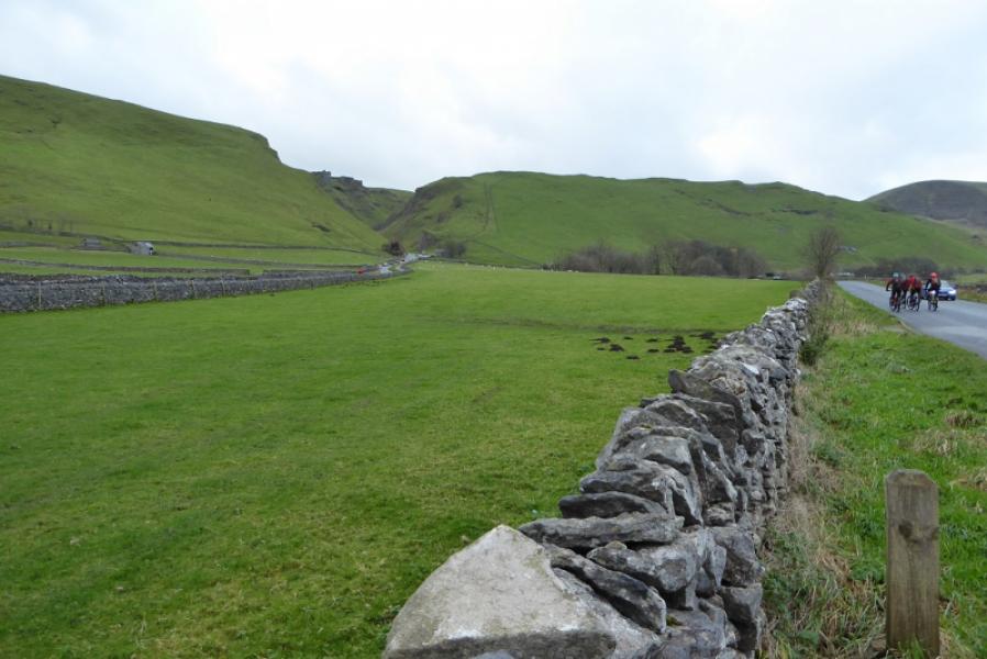
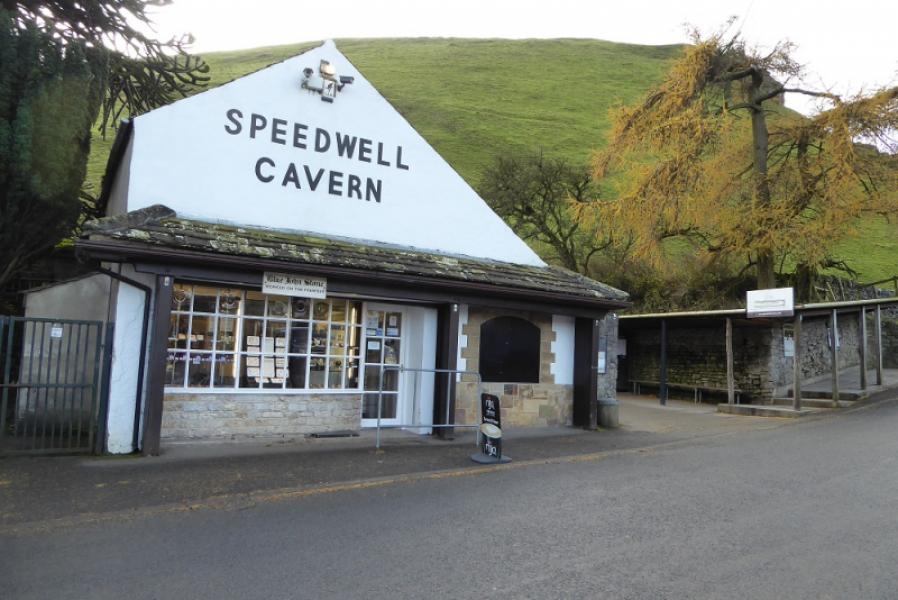
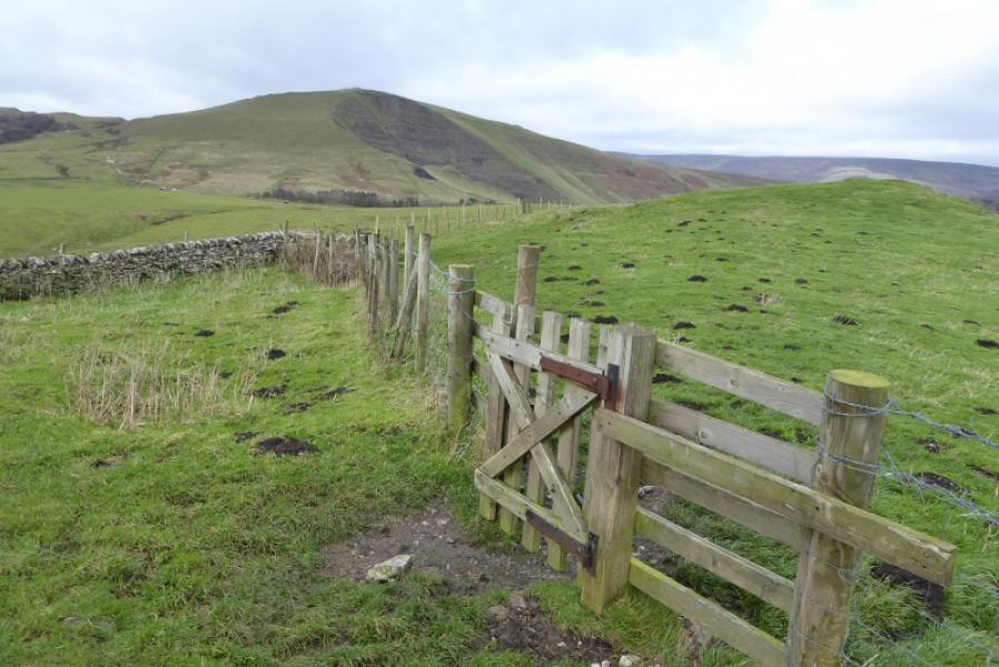
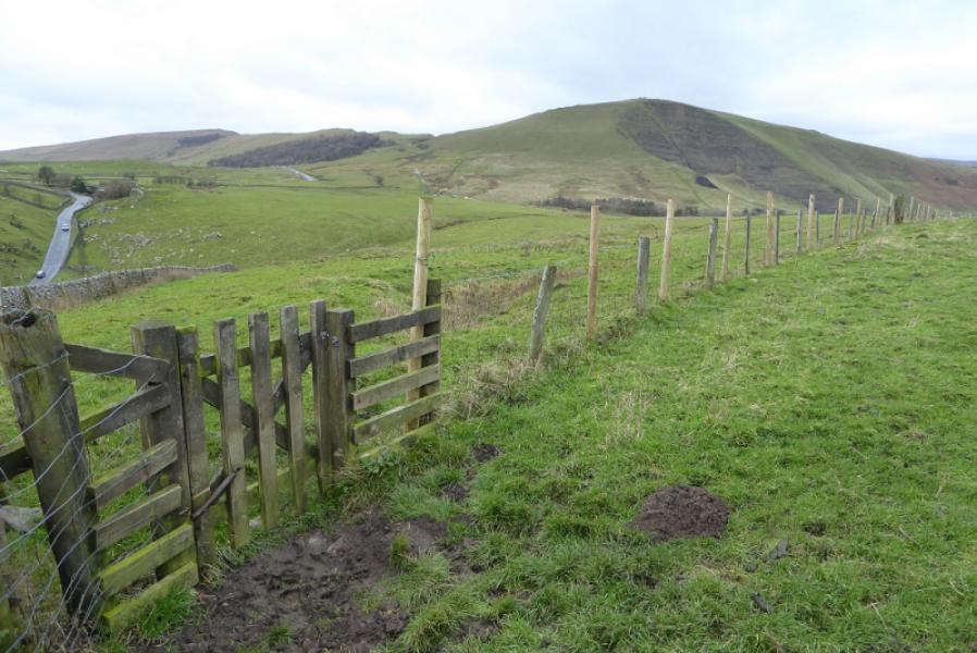
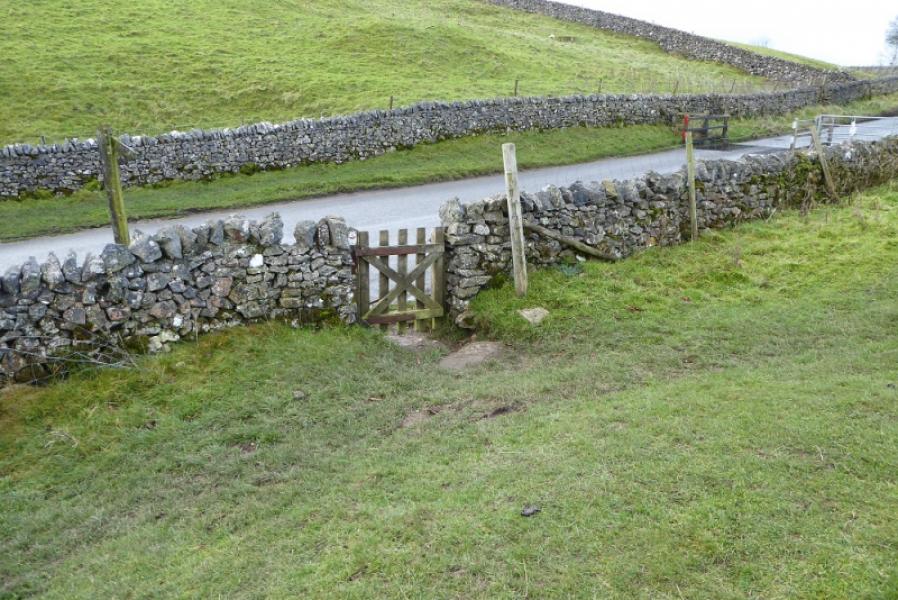
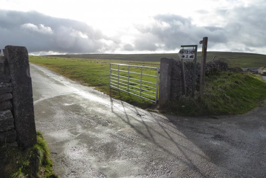
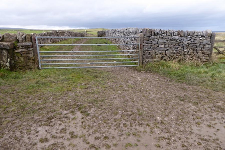
(1) Start walking up the Winnats Pass road towards the Speedwell Cavern. Just past this, go through a gate on the right hand side of the road and start ascending the steep path which mainly follows the wall on the right. Once the top is reached, pass through a gate on the right then another gate on the left to avoid losing height by continuing ahead directly to Winnats Head Farm. Contour around the grassy gully to join the path coming from the N and reach the gate (hidden from view until close) which is below the farm and gives access to the road at the top of Winnats Pass. Walk up the road for about 300 m to join the road coming from the N and continue SW for less than 100 m to reach the track (signed) for Rowter Farm.
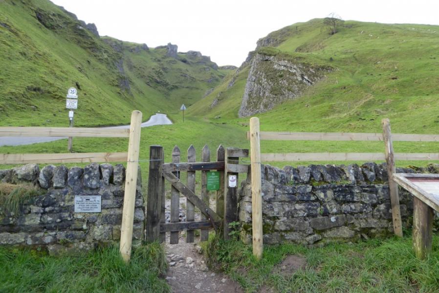
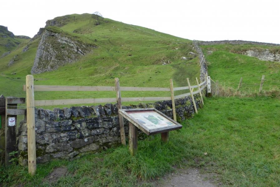
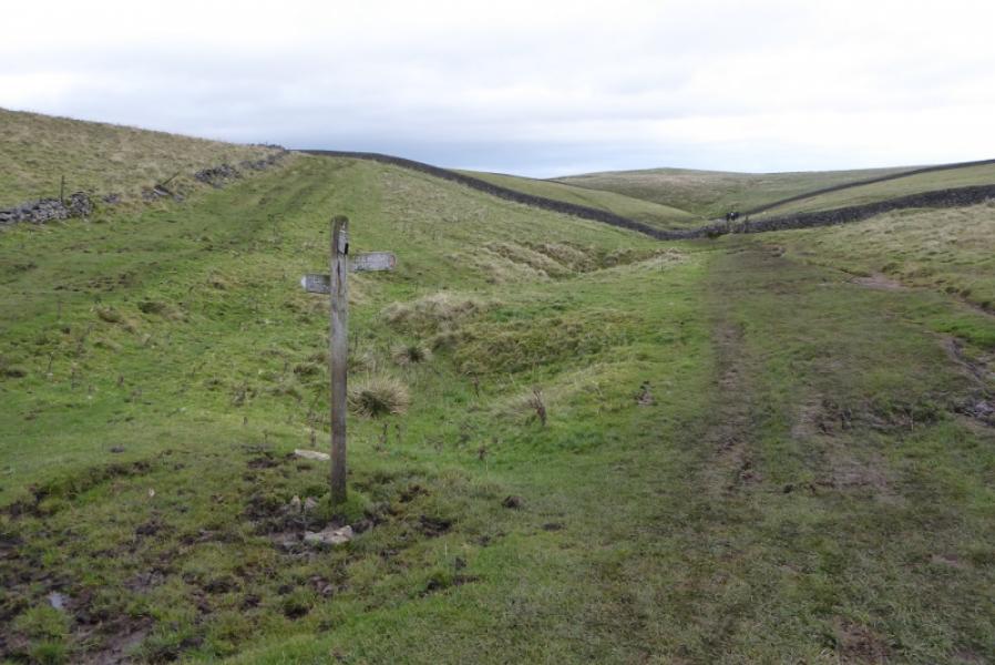
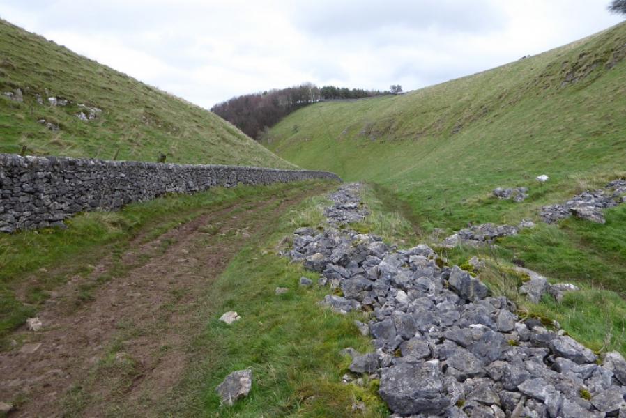
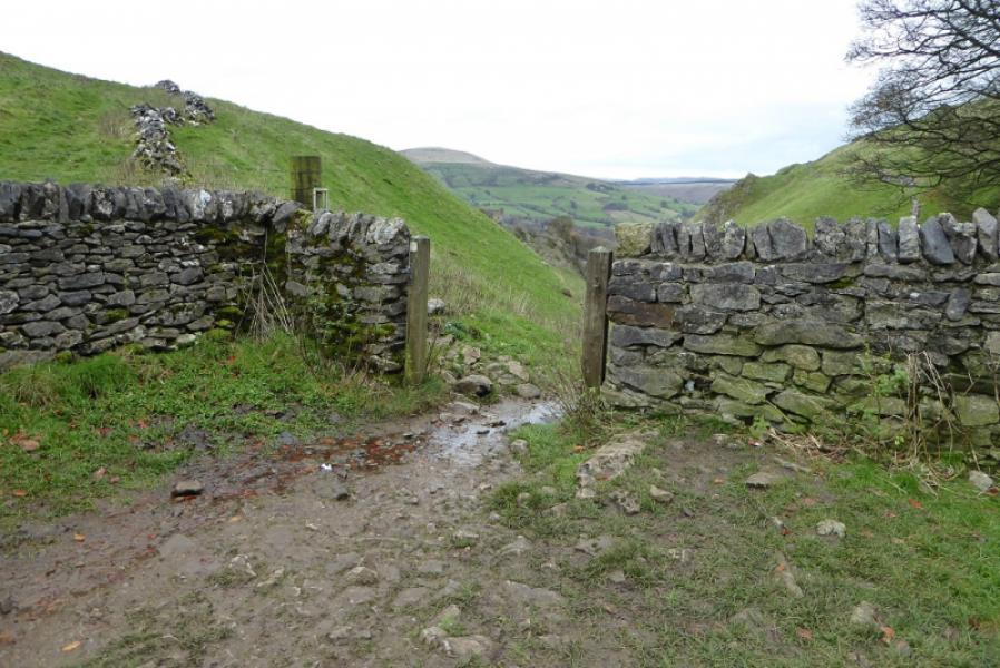
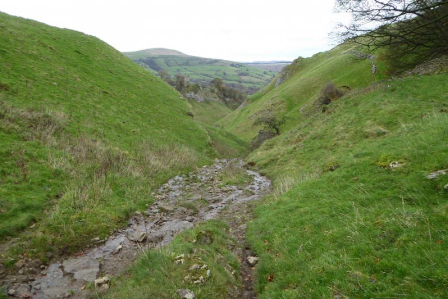
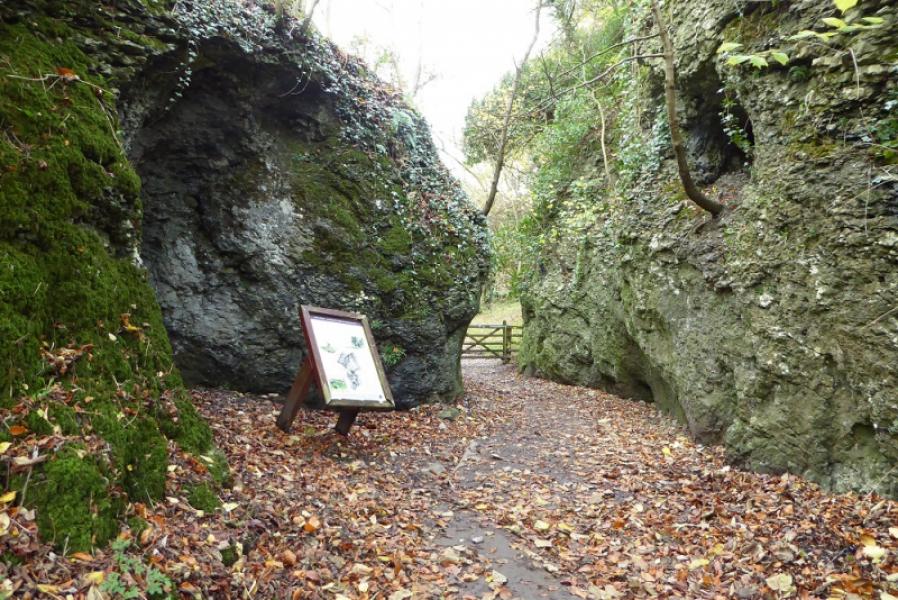
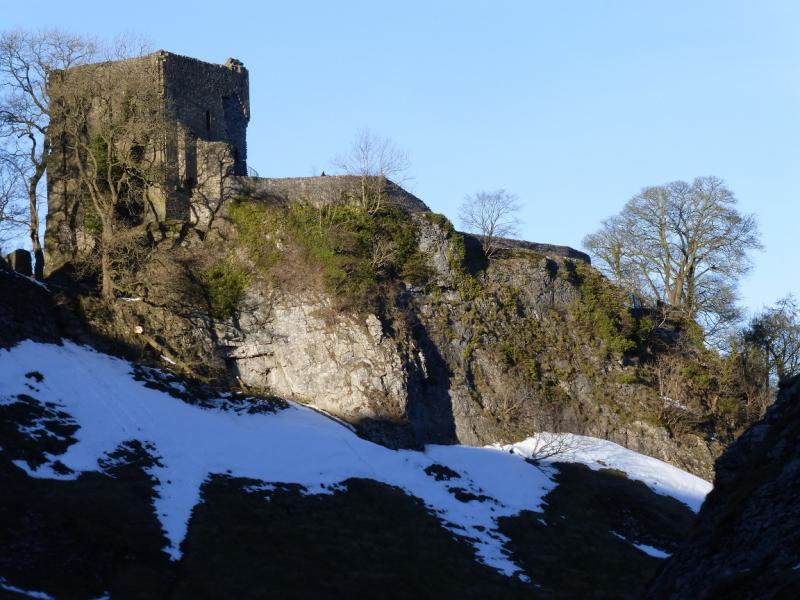
(2) Follow the track, past the turning for the farm, for about 1.2 km to where the track turns left. About 200 m further, it reaches a crossroads of paths and tracks. Go left, NE, to join the Limestone Way. After about 500 m, take the right fork, E, and follow the path down. It steepens noticeably after a gap in a wall. Continue down to reach Cave Dale where you are between limestone cliffs, some with caves and potholes, and pass below Peveril Castle. Continue down and exit Cave Dale by an information board in a narrow gap between two cliffs. Turn left and reach Castleton village.
Notes
(a) This walk took place on 18th November, 2017.
Photos - Hover over photo for caption. Click on to enlarge. Click on again to reduce.