Get Lost Mountaineering
You are here: England » Lincolnshire » County Walks
Nettleton to Lincolnshire Highest Point via Nettleton Hill Clockwise
Nettleton to Lincolnshire Highest Point via Nettleton Hill Clockwise updated 4/7/23
Start/Finish
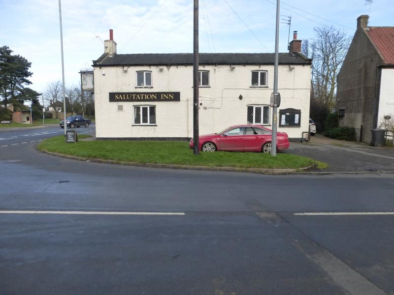
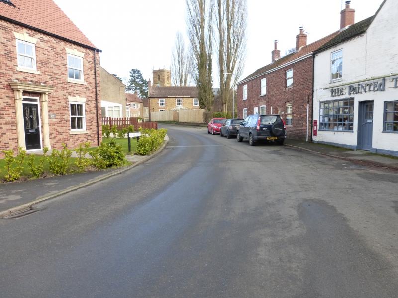
Anywhere on Nettleton High Street which is just off the A46 Lincoln to Grimsby road at the Salutation Inn at the foot of Caistor Hill. The easiest parking is almost opposite the Inn on the High Street.
Distance/Time
8 km. About 2 – 3 hours
Peaks
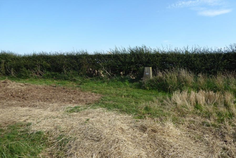
No obvious peaks as such but the trig point marking the highest point in Lincolnshire is at TF 121 965 and an altitude of 168 m.
Explorer 282: Lincolnshire Wolds North. OS 113: Grimsby.
Introduction
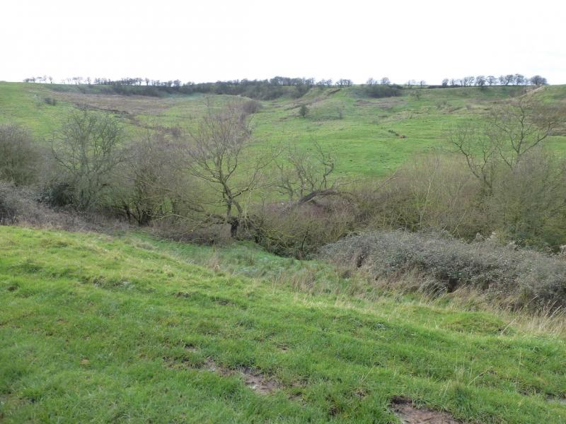
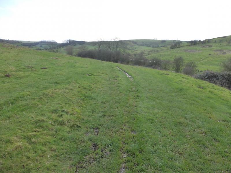
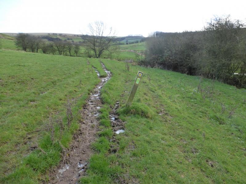
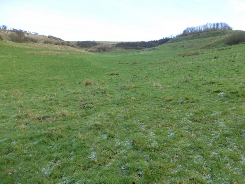
No one would claim that any part of Lincolnshire is mountainous but walks on its gentle rolling hills are enjoyed by many so here is one which goes to the highest point in the county. The outward route uses much of the Viking Way which is quite easy to follow but often boggy and, sometimes, very boggy. The return route goes along a path (may not be on some maps) on the Nettleton Hill edge from which there are good views looking west. On 28/6/23, some of this route had overgrown and this is now indicated in the route section.
Route
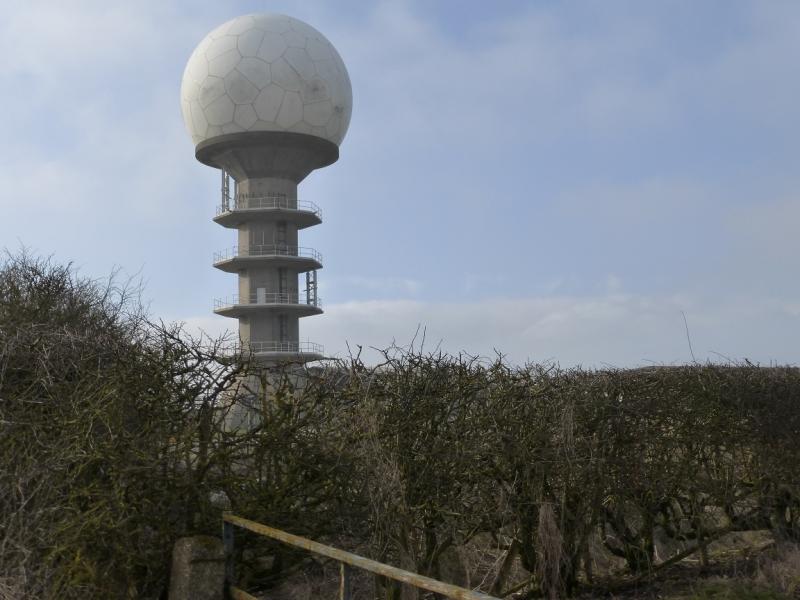
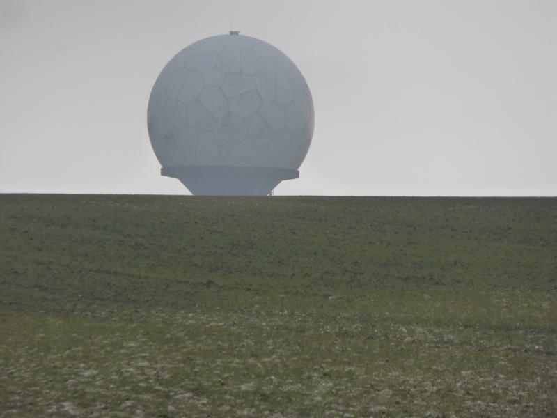
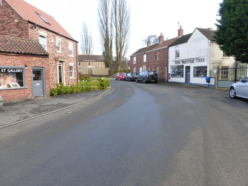
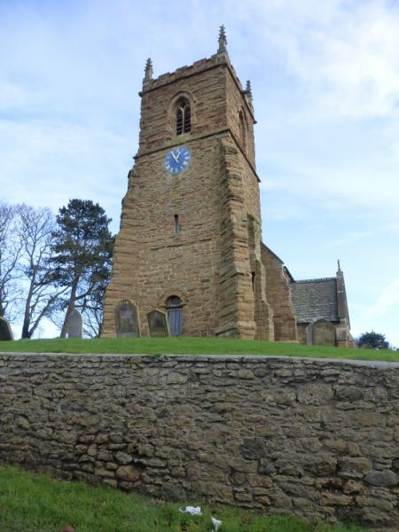
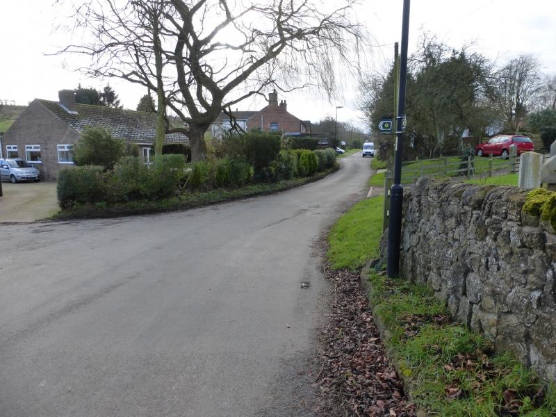
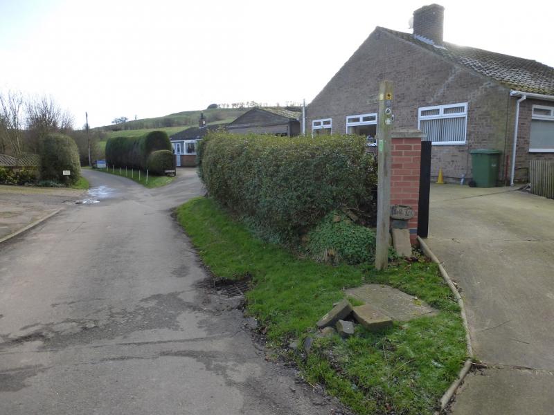
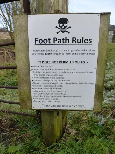
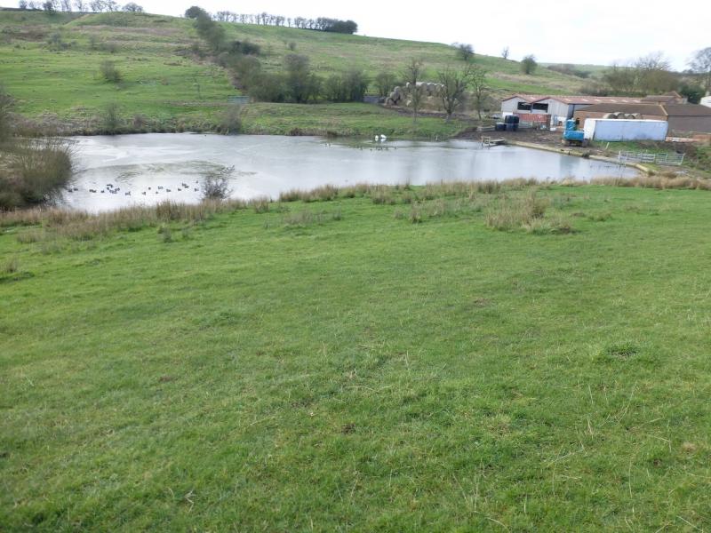
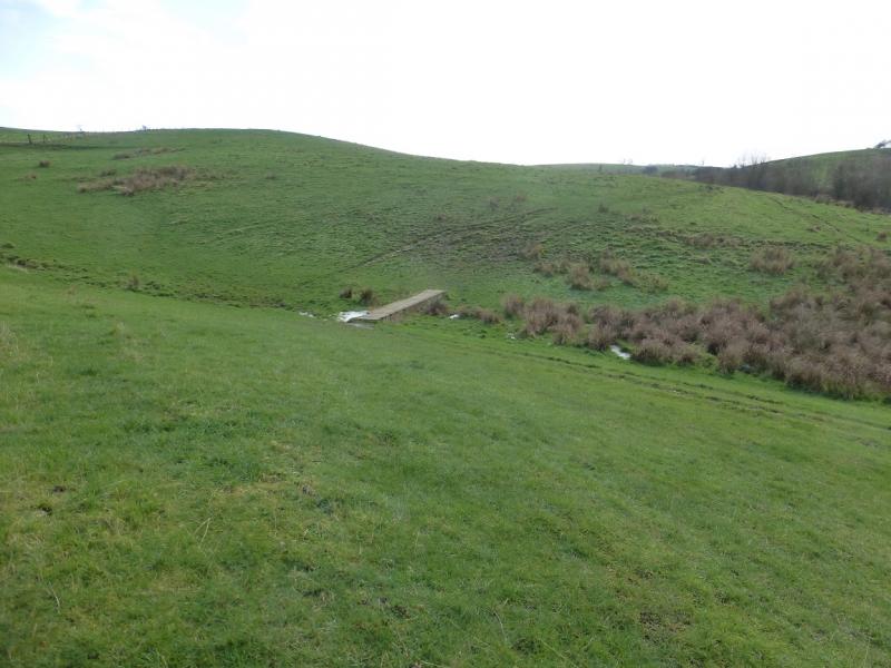
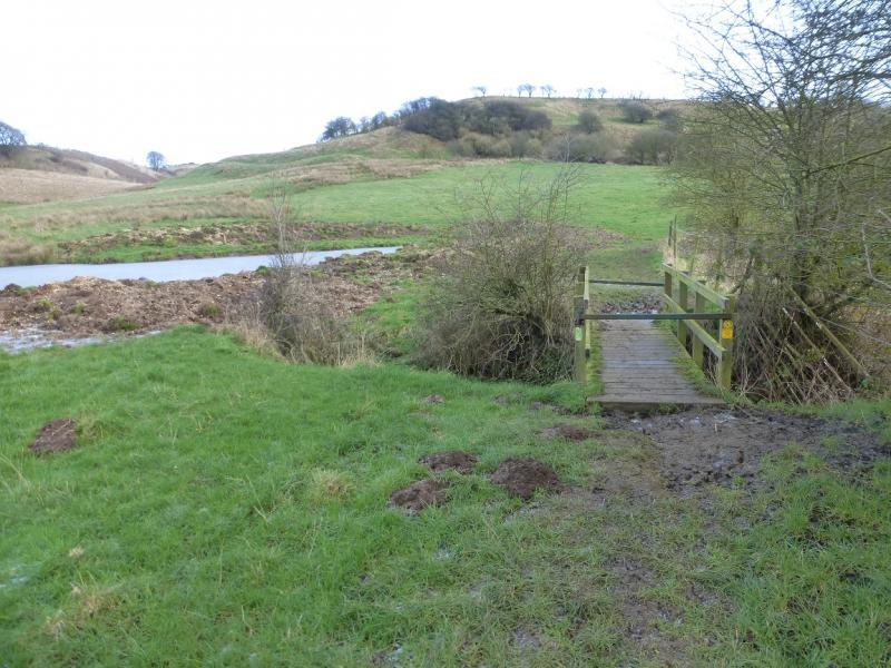
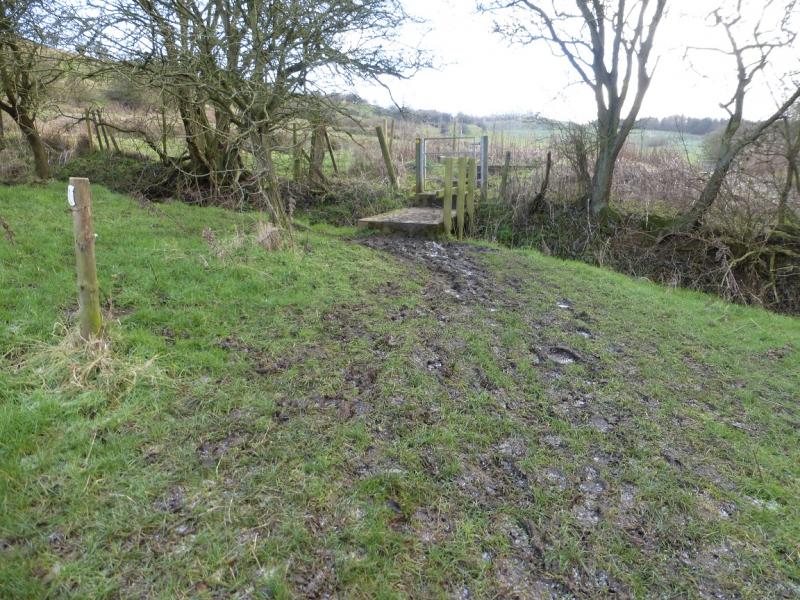
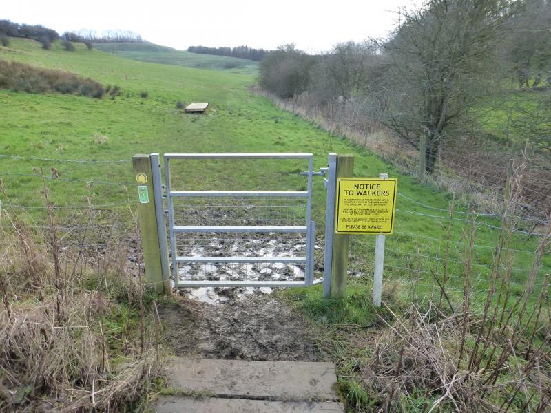
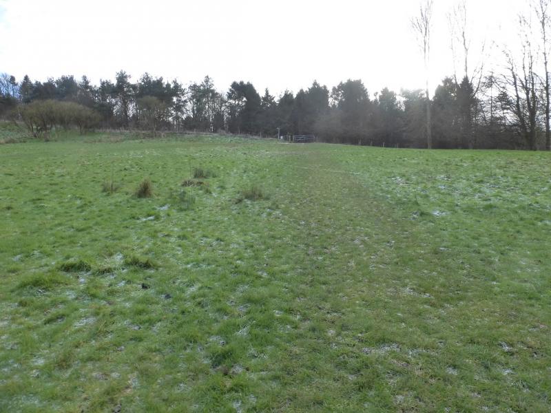
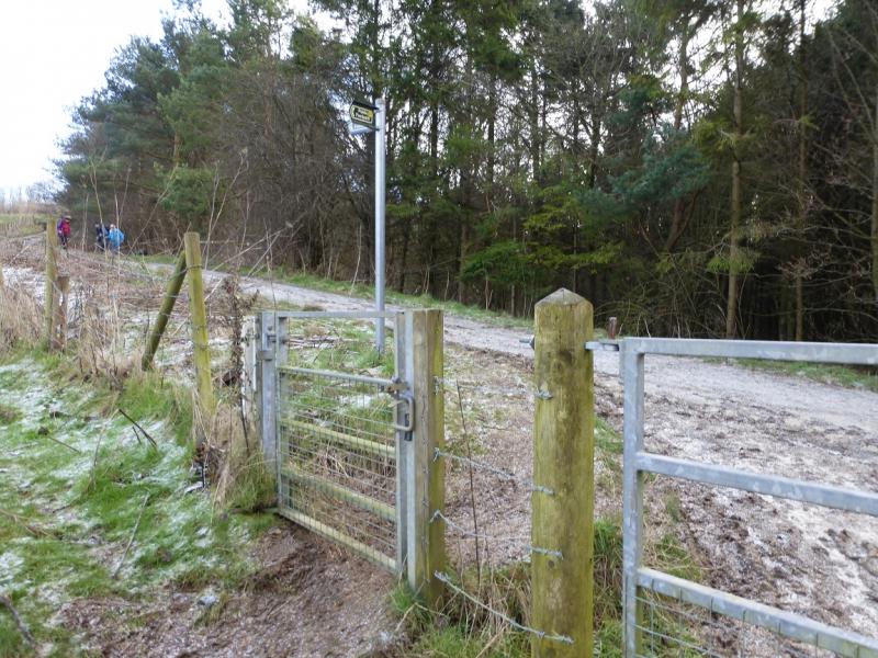
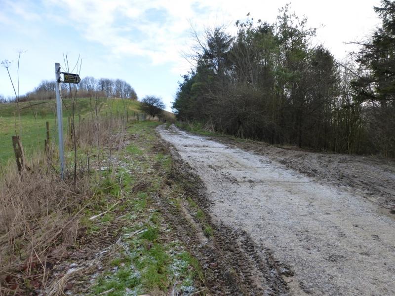
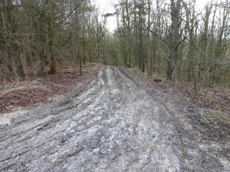
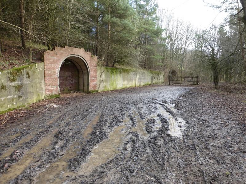
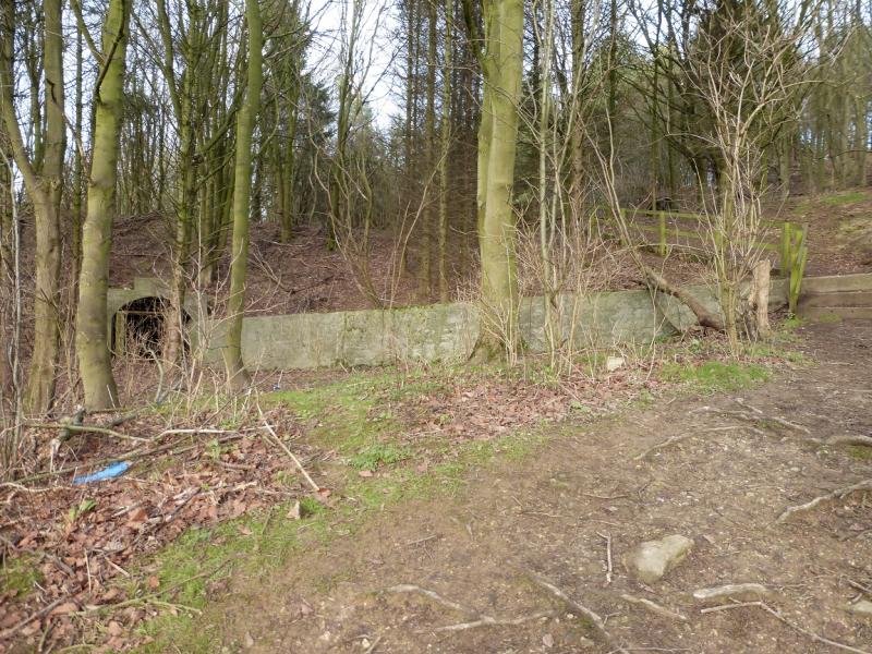
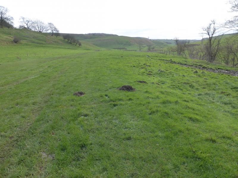
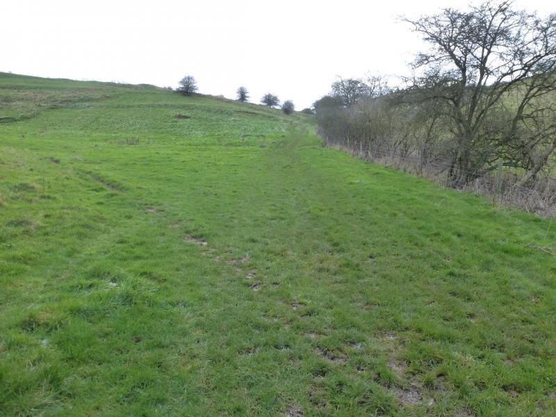
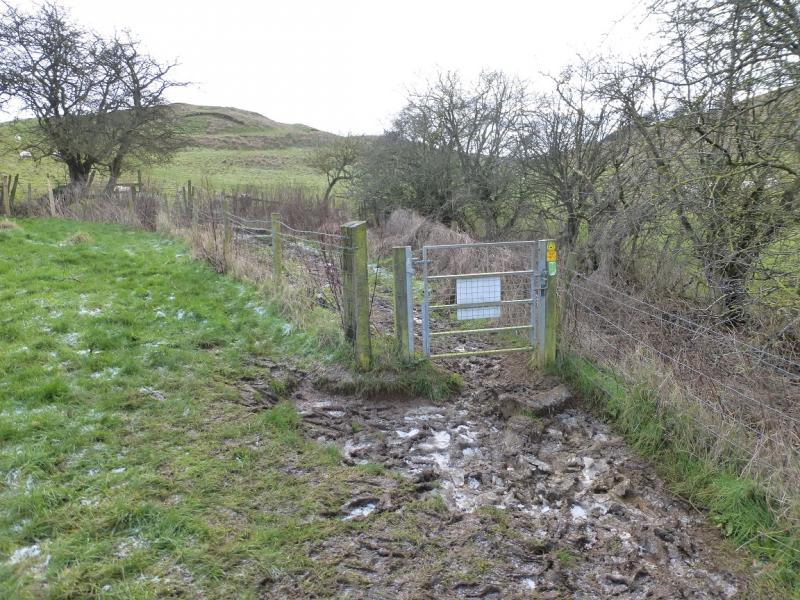
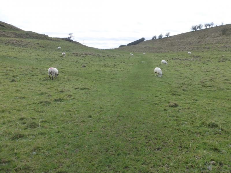
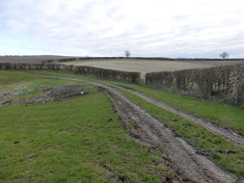
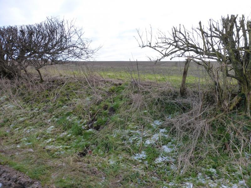
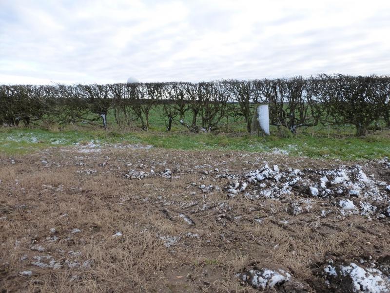
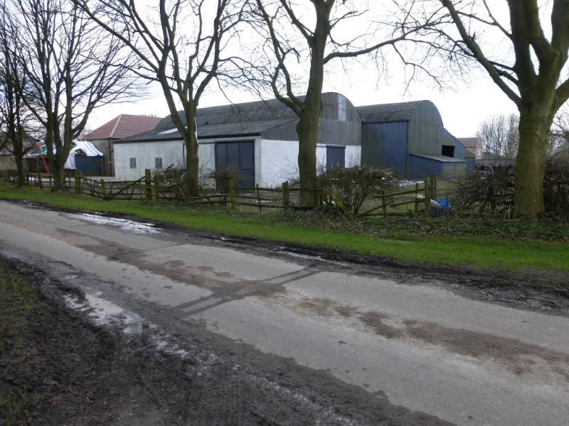
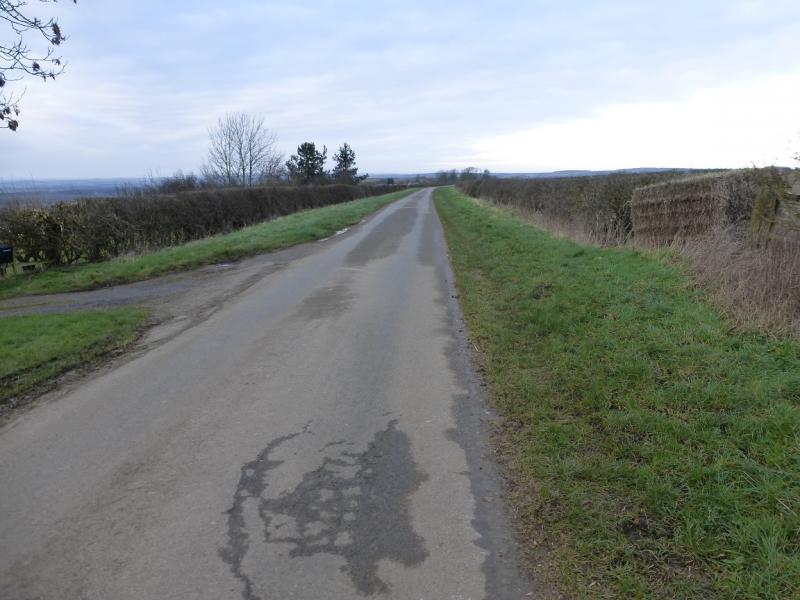
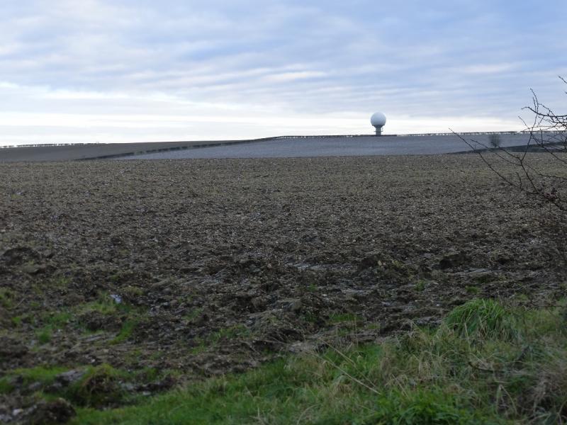
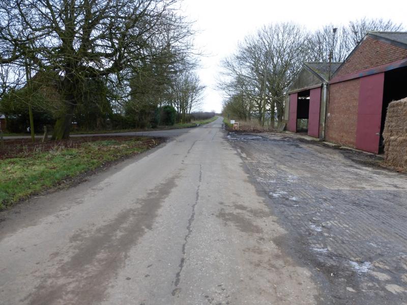
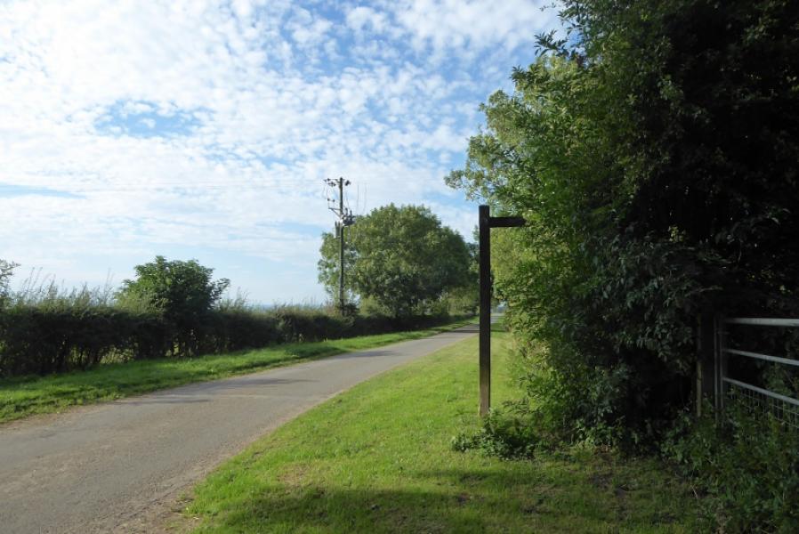
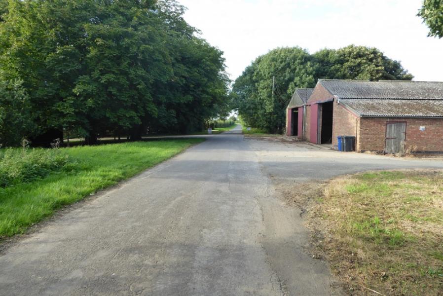
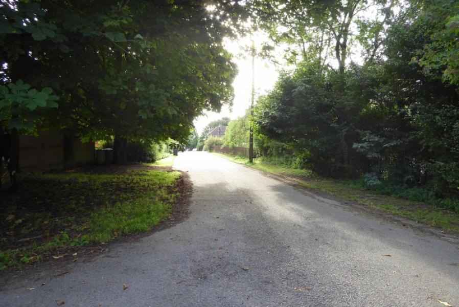
(1) Walk up the High Street, away from the main road. Go past the church and reach a T junction. Go right as if heading for Claxby (signed). After about another 400 m, look for a lane forking off left. This is the Viking Way and there is a small sign on the right hand lamp post on the road. Follow the lane until directed off to the left onto a path which essentially follows Nettleton Beck for about 3 km to its source. Go past the buildings and a large duck pond. There are signs, gates and bridges. If in doubt, stay in the valley bottom, keeping the beck on your right. After about 1.5 km, a gradual ascent leads up to a track. Turn left then almost immediately right onto a muddy track which leads to some old mine workings which seem to be closed off tunnel openings. Continue, still following the beck, the path has overgrown in places until it finally climbs out of the shallow valley to reach a bridleway by a gate near Acre House (off to the right). From the gate, walk E, away from Acre House, to the telegraph pole opposite the second hedge going S. This hedge leads directly to the trig point but access is blocked by a locked gate and nettles so continue, along the bridleway, to the next gate. Just after this, there is a gap in the hedge on the right which gives easier access but if you go about another 100 m then you can literally walk through a gap in the hedge. Walk back towards the second hedge (the hedge by the gap is the third hedge) Walk up the side of the hedge opposite the telegraph pole, keeping off any crops and staying close to the edge on a fairly wide grassy verge. The route ascends gently for just over 400 m to reach the trig point which is the highest point in Lincolnshire but sits by a hedge in a field of crops. The radar station “golf ball” will be visible about 1 km to the SE.
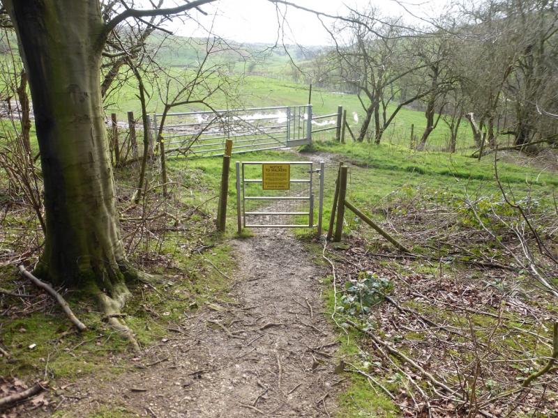
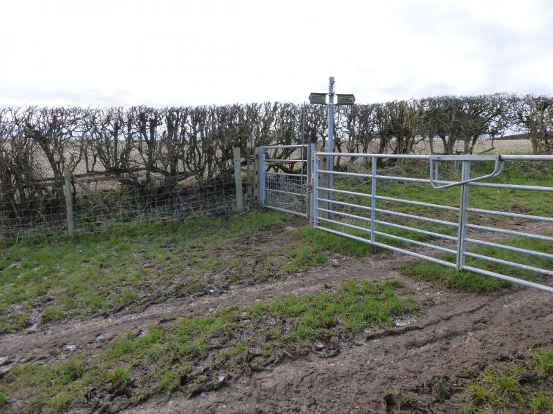
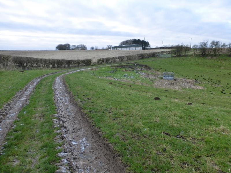
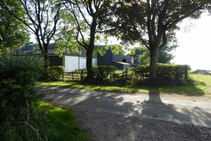
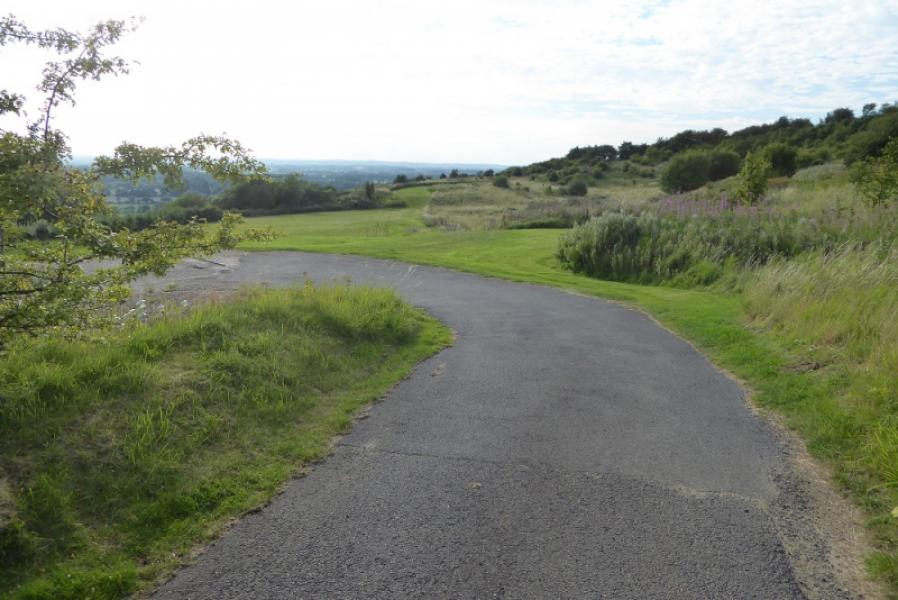
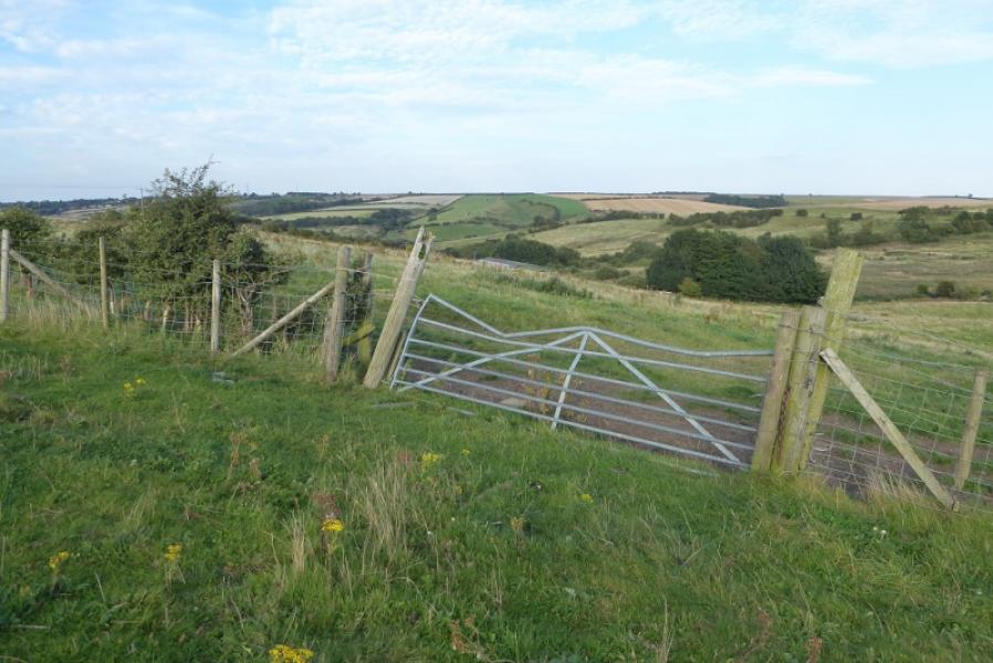
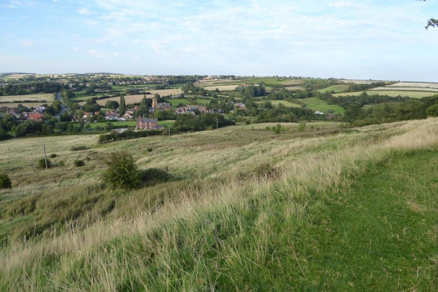
(2) Retrace to the bridleway near Acre House and follow it W, past Acre House to the road. Turn right, N, and follow the road back towards Nettleton. After about 1 km, just after a large barn on the right, take the road on the left which goes through a hamlet then starts to drop down hill. Leave this minor road where there is a right fork on to an even minor road signed for Castle Hill. If you stay on the road through the hamlet you will soon reach a large gate and have to retrace back to the fork. The very minor road soon bends right and heads for a large house. Leave the road about here and follow a “path” (like mown grass!) which skirts a play area then becomes overgrown before climbing towards a hedge on a corner. Reach the hedge and follow a rough, often overgrown path, between two hedges along the edge. There are hawthorn bushes and nettles along this path. It would be preferable to be on the open ground on the other side of the hedge on the left but it is well guarded by barbed wire and hard to get over so follow the gap between the hedges. Even when you reach the end of this gap, the fence is still well guarded but the ground is more open and two gates/stiles are crossed. Continue, shadowing the fence, going slightly uphill until you can cross it. This may be at a slightly awkward leaning gate although it may be open. (The first gate in the fence can be crossed but don't cross it as you then have another barbed wire fence to cross at a corner soon after so watch out for this!) Once across the fence, continue by it on the fairly obvious path and follow this, by a line of trees, with a little gentle ascent. Soon you will be looking down on the main road just before it reaches Nettleton. Either descend directly down, on a path to a gate, to reach the road but you will have to climb over the gate as it is padlocked! The normal easier but slightly longer route continues a little further along the edge then goes down by the side of a house to reach a stile at the side of the gate mentioned above but this was badly overgrown on 28/6/23 so climbing the gate by the road is much the easier option.
Notes
(a) This walk took place on 27th December, 2017, and 28th June, 2023.
(b) Those who simply wish to visit the highest point and no more, should drive up the Claxby road from Nettleton as far as Acre House from where it is less than 1 km to the trig point. Alternatively, drive to golf ball/radar station and walk in from there (see route from Rothwell) which is only about 0.5 km.
Photos - Hover over photo for caption. Click on to enlarge. Click on again to reduce.