Get Lost Mountaineering
You are here: England » Peak District » Kinder, Winhill, Castleton, Mam Tor, Rushup Edge, Brown Knoll & South Head from Ladybower/Bamford to Chapel-en-le-Frith Road
Cave Dale & Pin Dale from Castleton
Cave Dale & Pin Dale from Castleton
Start/Finish
Castleton village. Free parking is available on the E side of the village. Otherwise the best pay car park is the Visitor Centre on the W side of the village where there are information and toilet facilties. On 14/1/18, the old road, W, towards Mam Tor was free to park on as all the Pay and Display machines had been vandalised.
Distance/Time
8 km. About 3 hours.
Peaks
The highest point on the whole route is about 420 m where the Limestone Way crosses the track before the route goes east towards Dirtlow Rake.
OS Outdoor Leisure 1: Dark Peak
Introduction
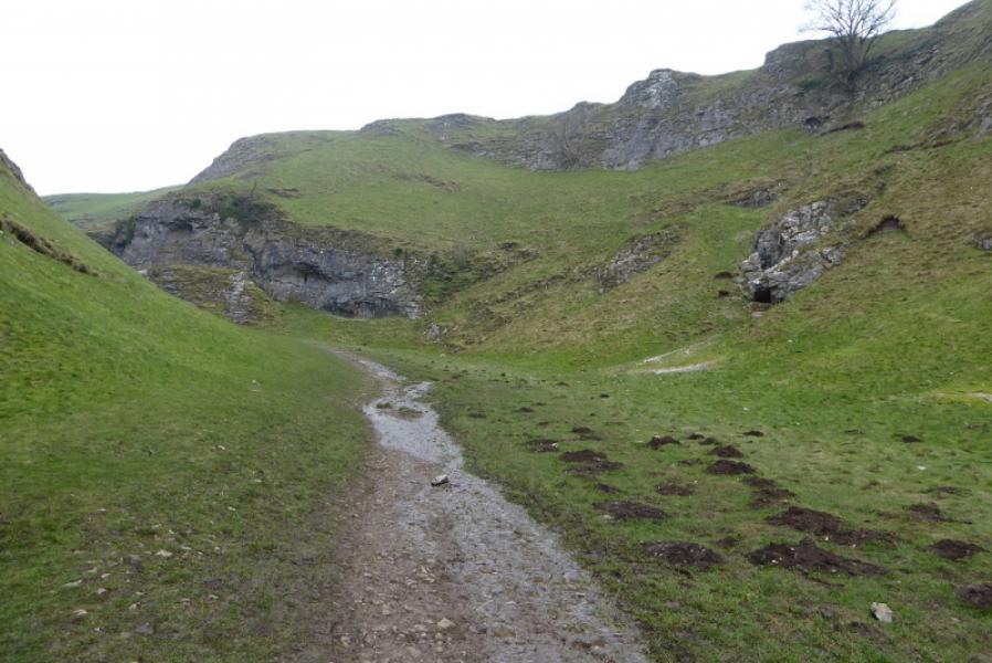
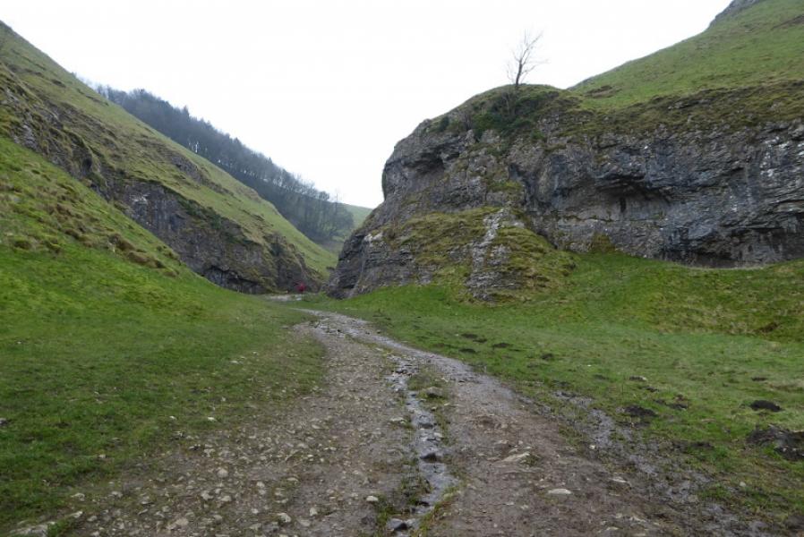
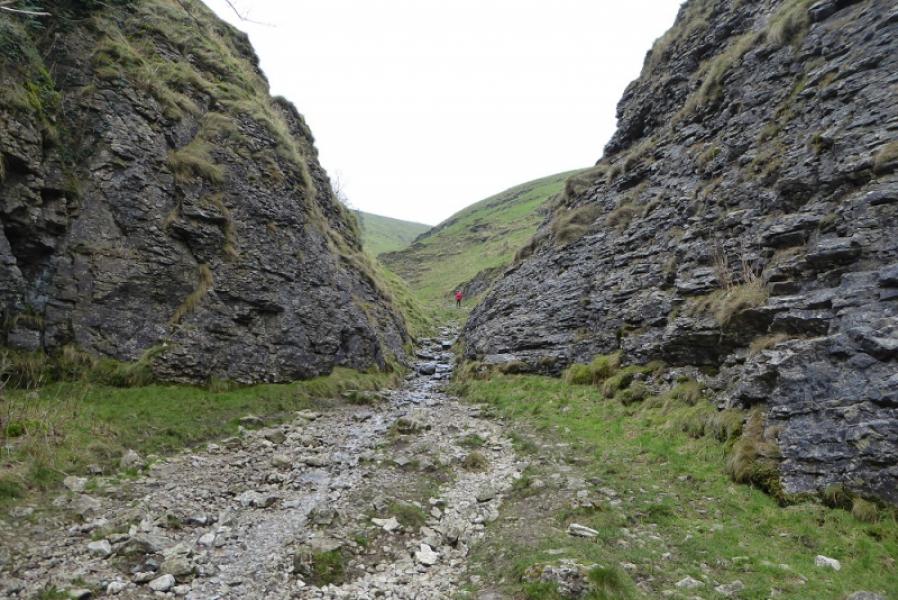
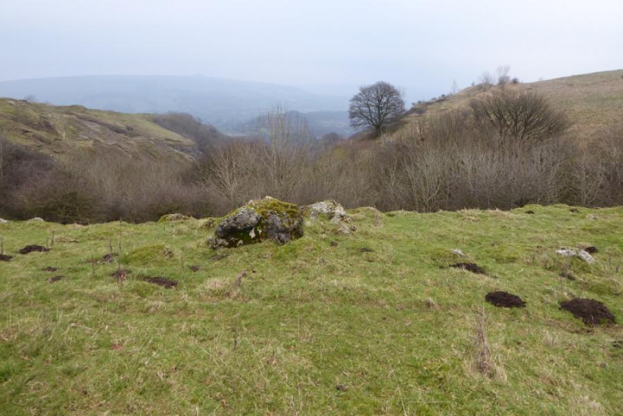
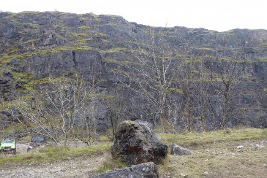
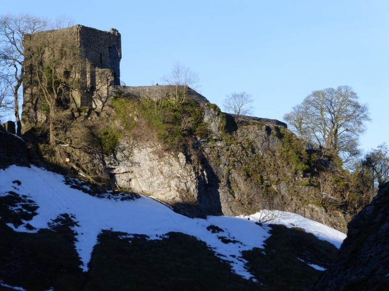
This is a short but very interesting walk in the Dark Peak which, in good weather has good views of Win Hill, the Mam Tor ridge as well as the local area around Castleton. The ascent of the Limestone Way up Cave Dale can be stony and slippery The descent down Pin Dale is similar in places and a way through a wood of thron tress has to be found! Cave Dale is probably the most interesting part of the route and one can spot various caves and potholes (sealed off) from the Limestone Way.
Route
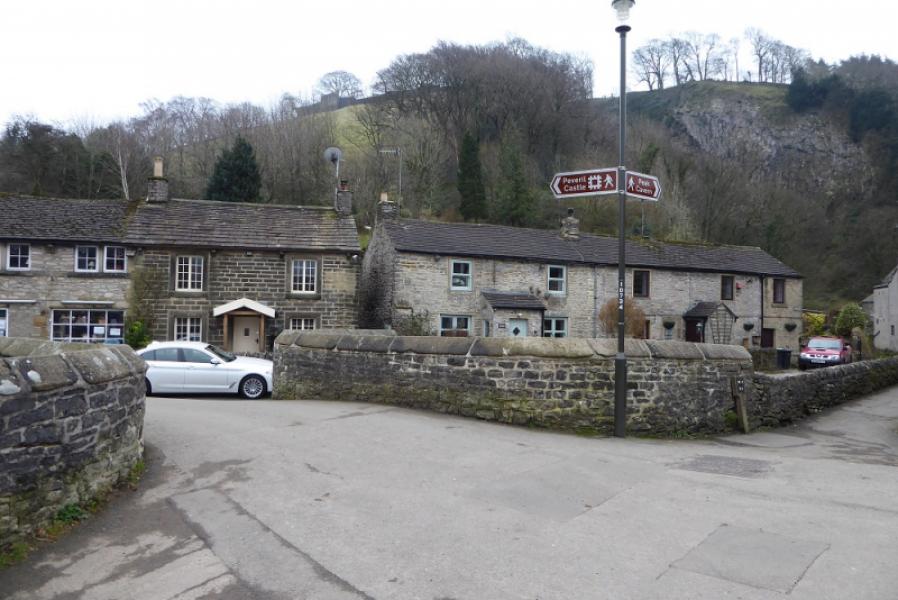
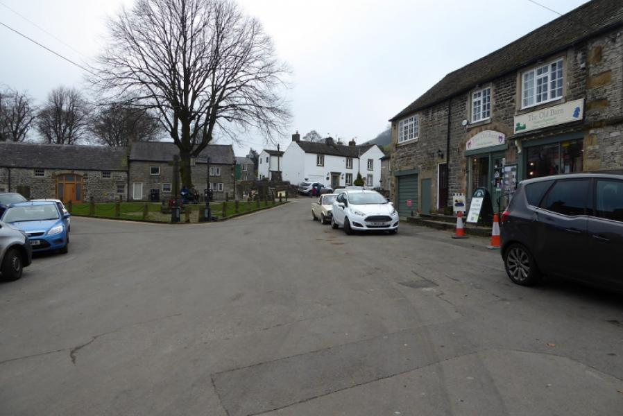
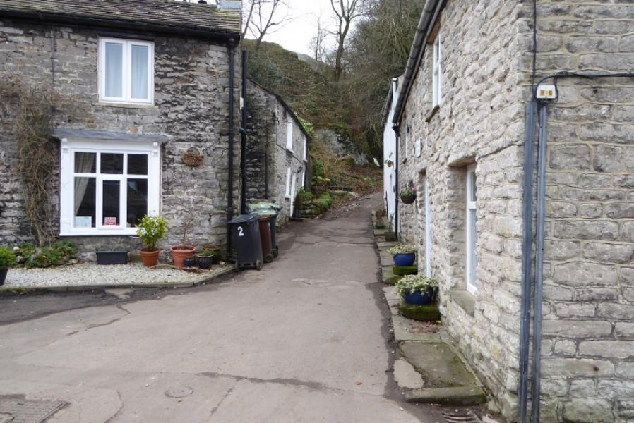
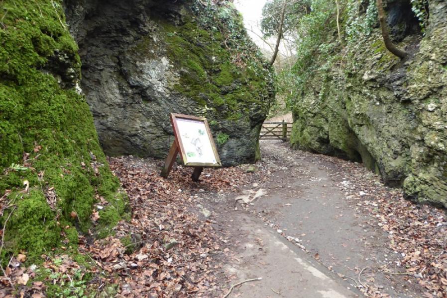
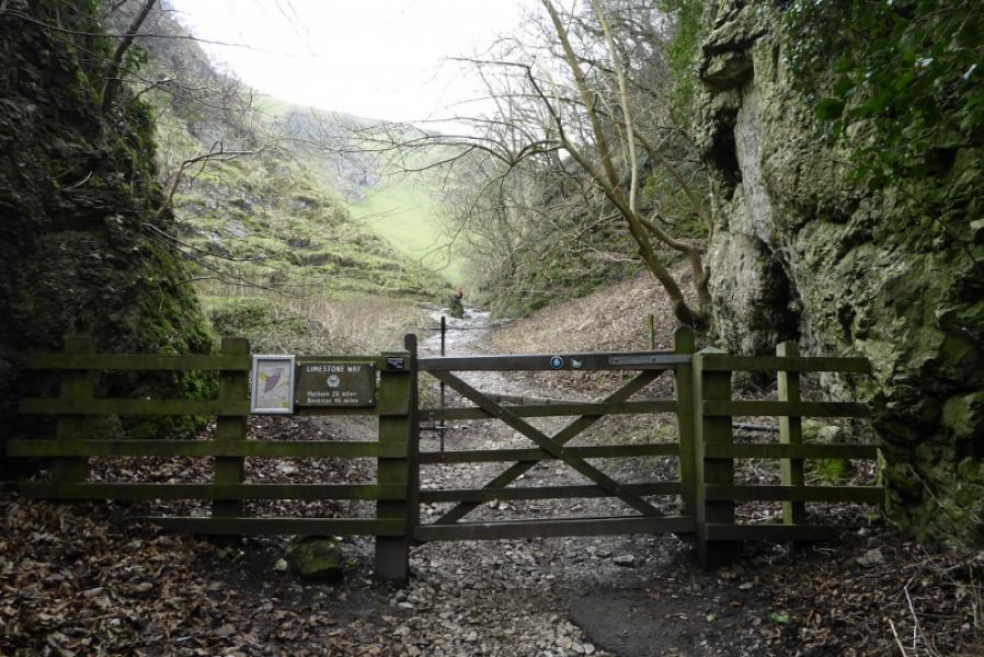
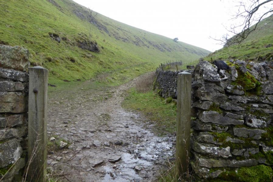
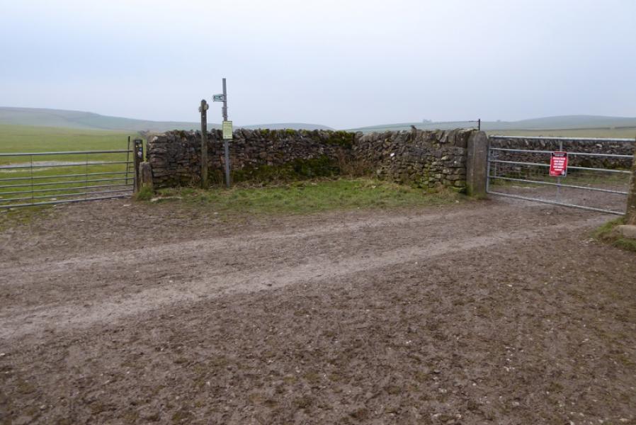
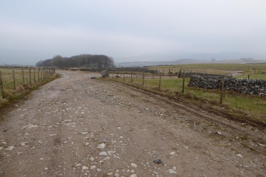
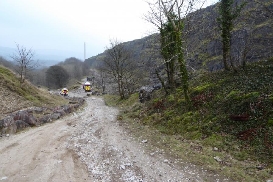
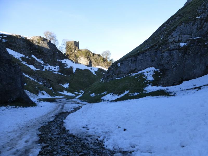
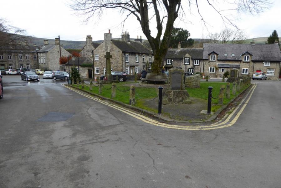
(1) In the centre of Castleton is a short section of road running due north to south. Follow this S then continue off the main road to reach the Market Square which is actually a triangle! Continue on the minor road but soon, on a bend, go right (signed). Follow a short lane between rows of cottages to reach the signed entrance of Cave Dale between the “jaws” of two cliffs. Follow the obvious path up. This is the Limestone Way. The caves section ends at a wall so continue up on less stony ground. Other walls are passed through before reaching an obvious track going E – W.
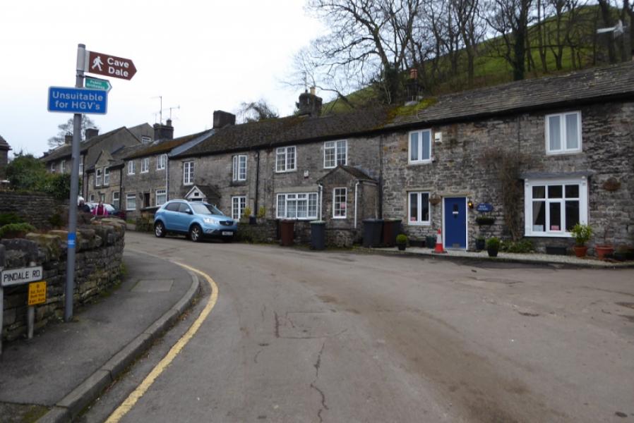
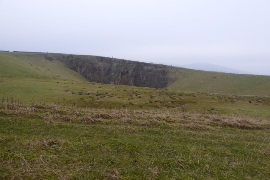
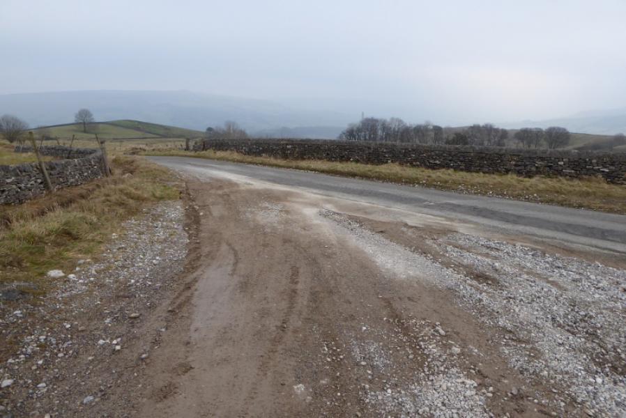
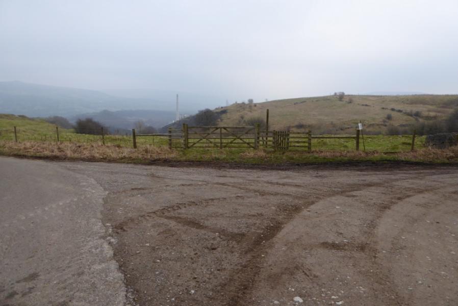
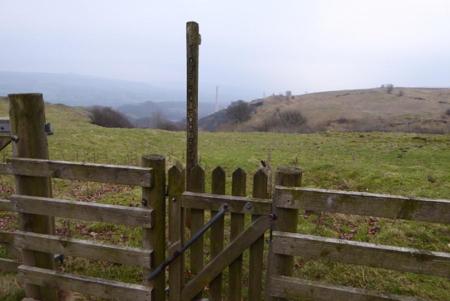
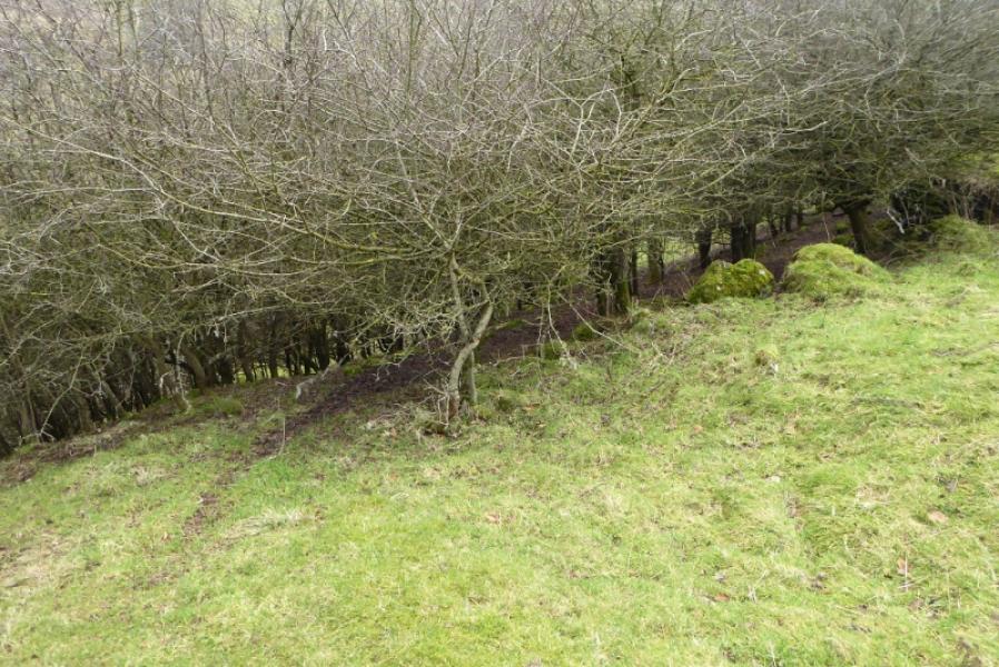
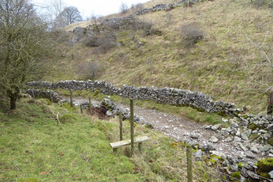
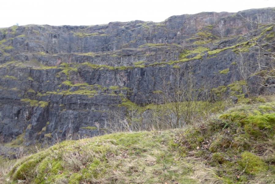
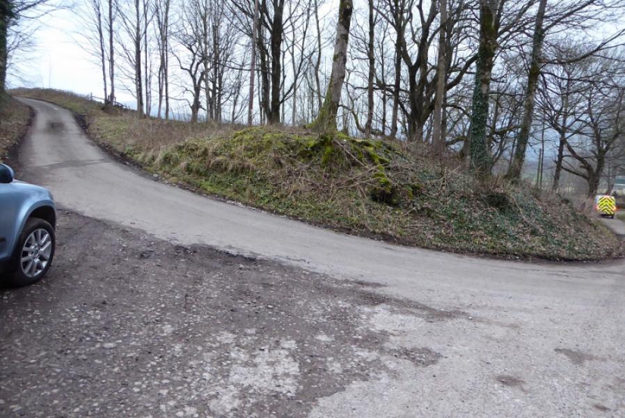
(2) Turn left, E, and follow the track E. In less than 1 km, the track turns NE so stay with it and follow past Dirtlow Rake which has an information board by the side of the track. The track soon starts to shadow a road but stay on the track until until it ends where it meets the road. Follow the down for about 200 m to where it turns left and there is a fingerboard for a path directly ahead. Follow the path which soon becomes faint and appears to drift to the right and go into some thorn trees. These may need to be outflanked by going to the right then dropping back left, alongside a rough lane/track, to reach a stile giving access to the lane /track. An alternative is not to take the path from the fingerboard but to follow the rough track going right, S, to reach the top of the lane/track. Follow the lane/track down Pin Dale which passes below an old quarry lower down. Continue down on the, now rougher, lane/track. Pass some cottages before reaching a road at a corner. Go left, slightly uphill, and follow this road back to Castleton. It leads directly to the Market Square.
Notes
(a) This walk took place on 14th January, 2018.
Photos - Hover over photo for caption. Click on to enlarge. Click on again to reduce.