Get Lost Mountaineering
You are here: England » Peak District » Kinder, Winhill, Castleton, Mam Tor, Rushup Edge, Brown Knoll & South Head from Ladybower/Bamford to Chapel-en-le-Frith Road
Pin Dale Quarry Top & Cave Dale from Castleton
Pin Dale Quarry Top & Cave Dale from Castleton
Start/Finish
Castleton village. Free parking is available on the E side of the village. Otherwise the best pay car park is the Visitor Centre on the W side of the village where there are information and toilet facilties. On 18/2/18, the old road, W, towards Mam Tor was free to park on as all the Pay and Display machines had been vandalised.
Distance/Time
8 km. About 3 hours
Peaks
The highest point on the whole route is about 420 m where the Limestone Way crosses the track before the route descends towards Cave Dale.
OS Outdoor Leisure 1: Dark Peak
Introduction
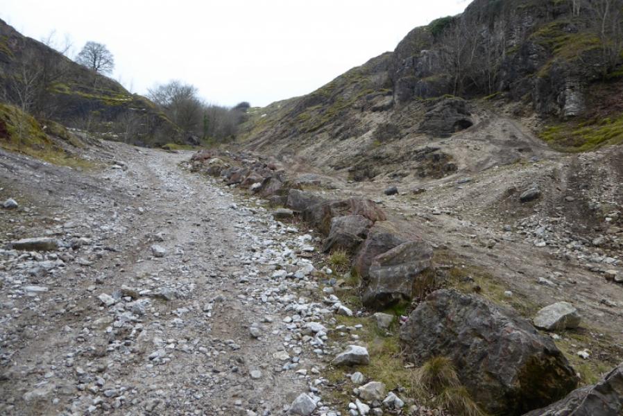
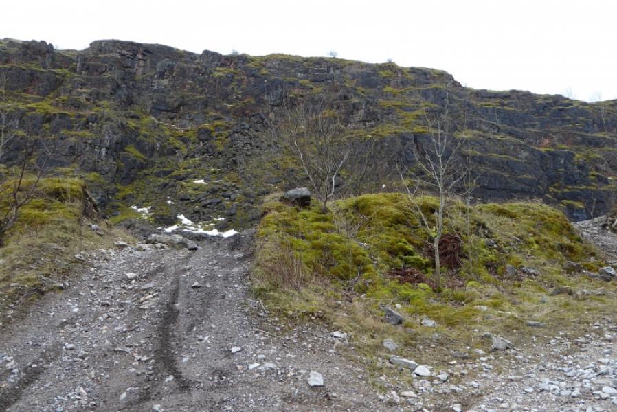
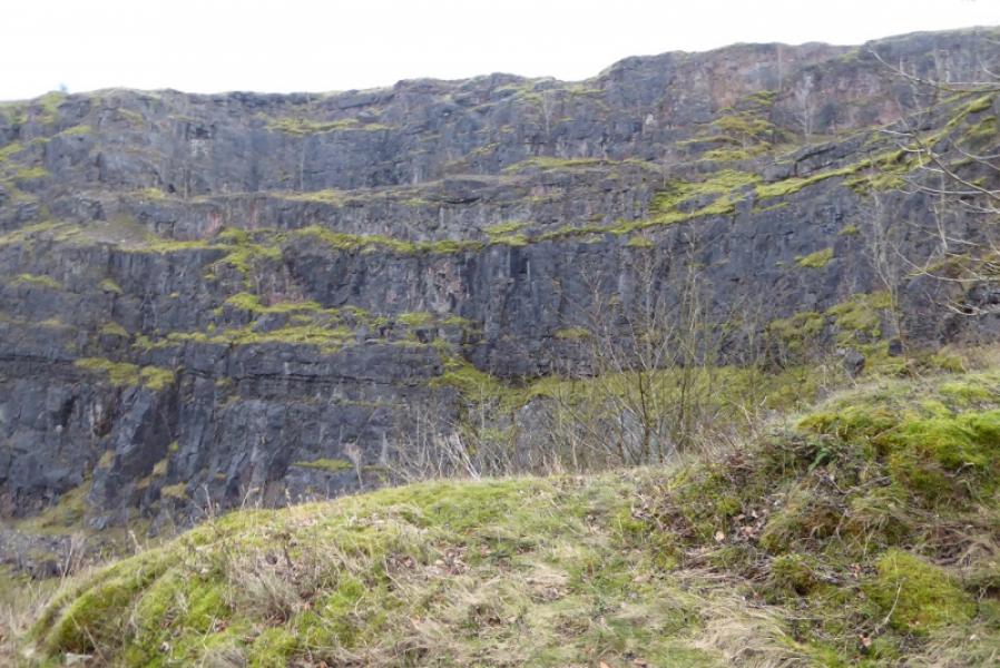
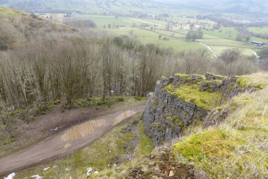
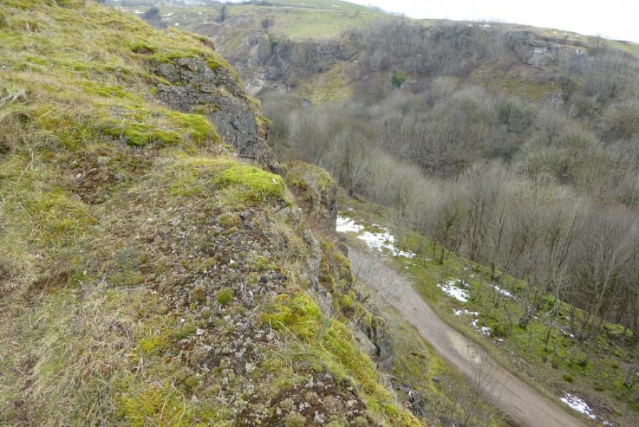
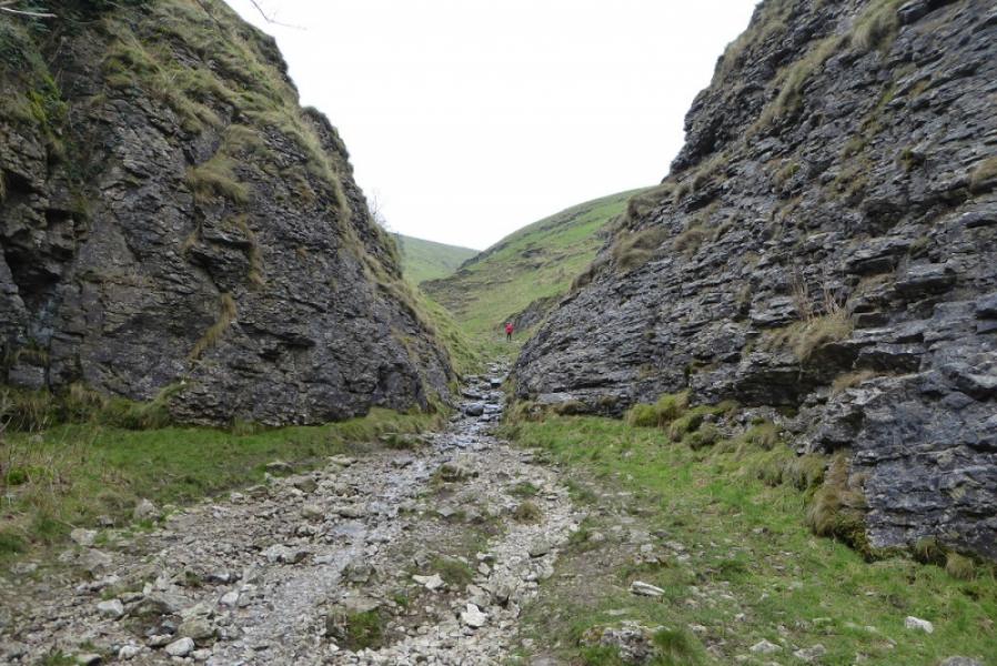
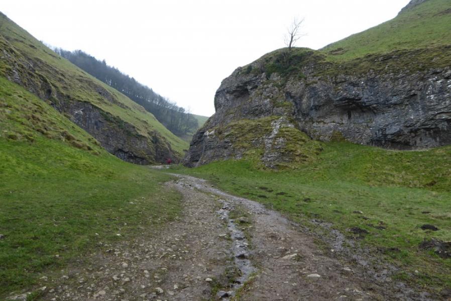
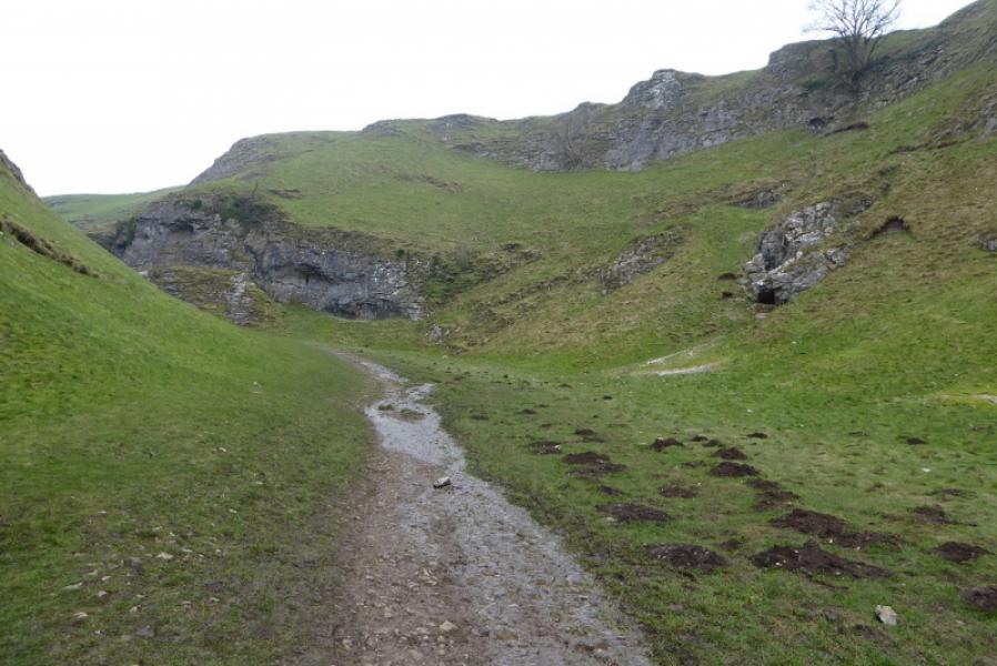
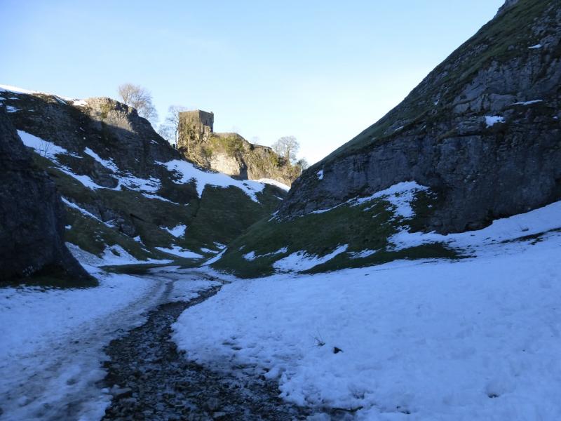
This is a short but very interesting walk in the Dark Peak which, in good weather has good views of Win Hill, the Mam Tor ridge as well as the local area around Castleton. The ascent of Pin Dale is easy but the faint path goes very close to the cliff edge in places so any young children should be kept under very close control or, better still, left at home. The descent of the Limestone Way up Cave Dale can be wet, stony and slippery. Cave Dale is probably the most interesting part of the route and one can spot various caves and potholes (sealed off) from the Limestone Way.
Route
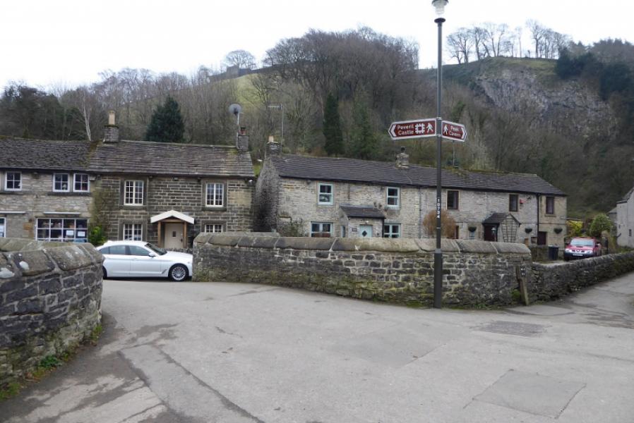
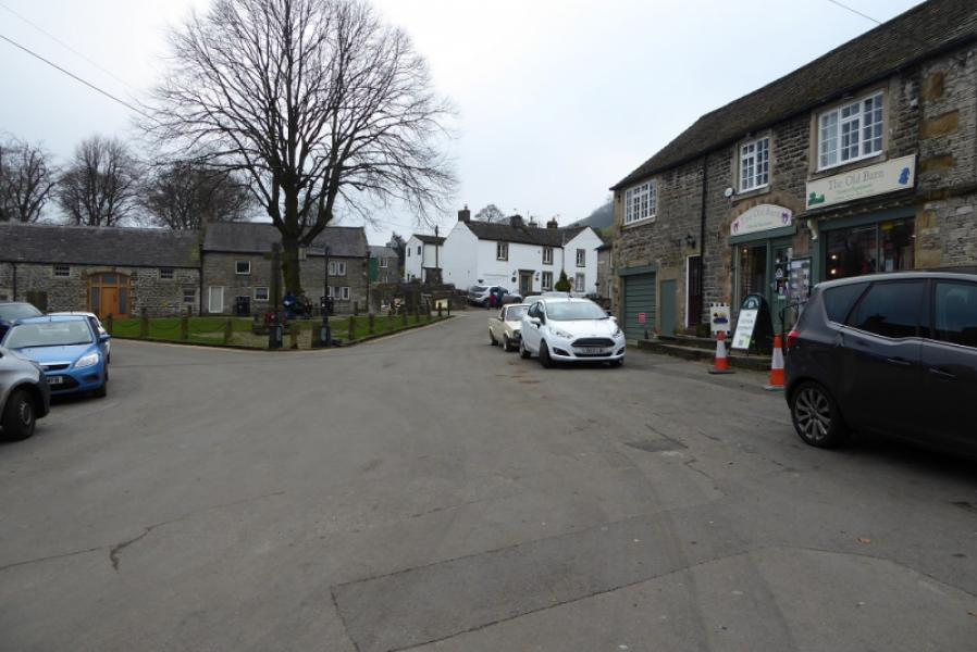
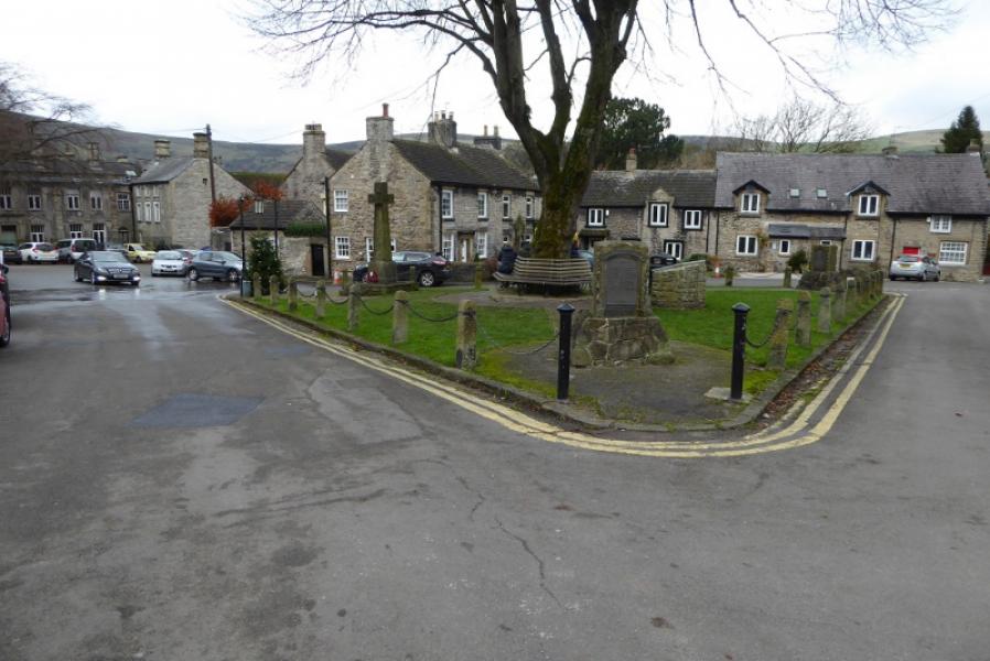
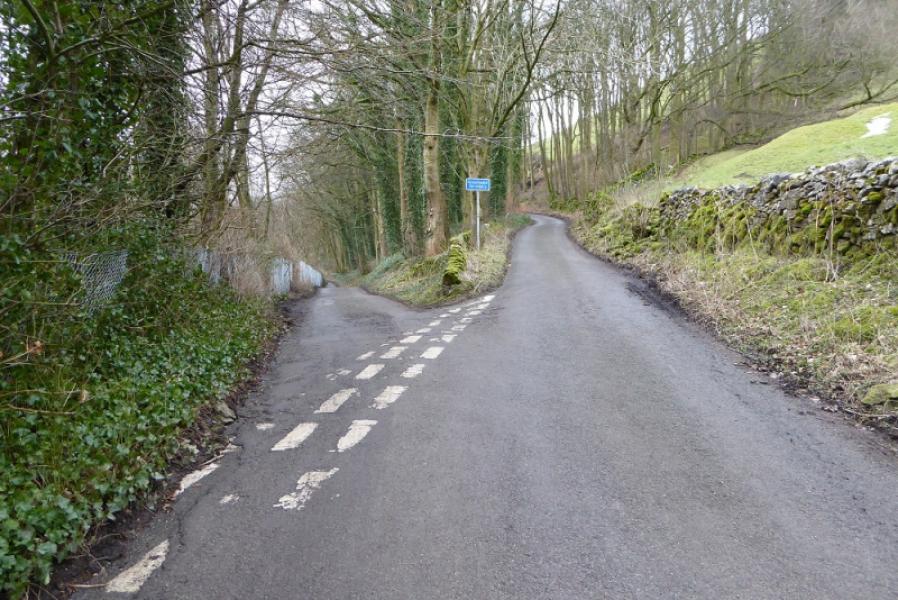
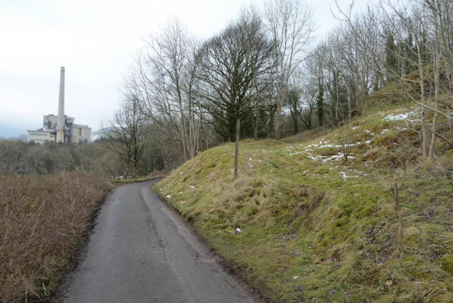
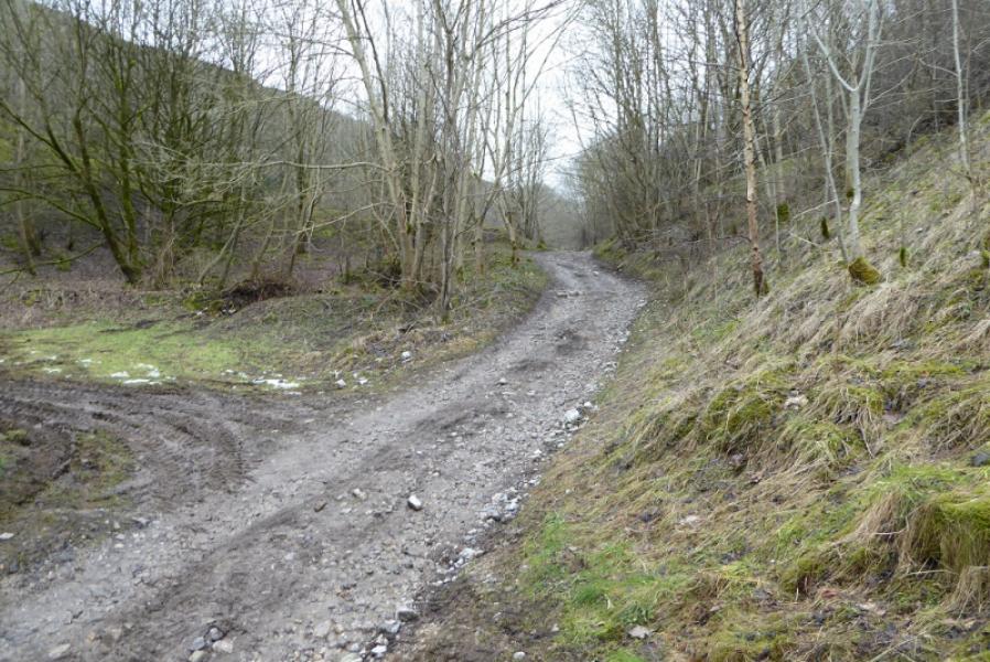
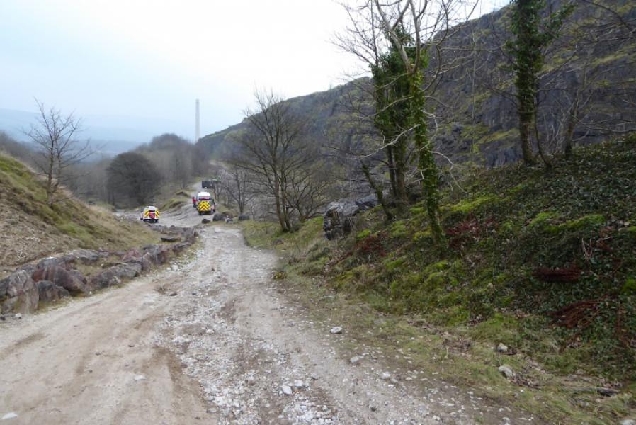
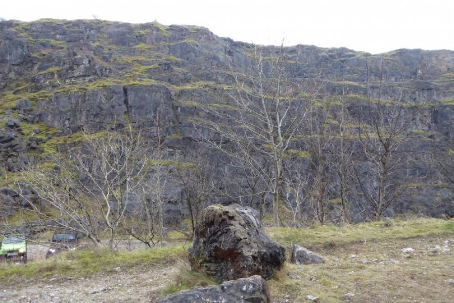
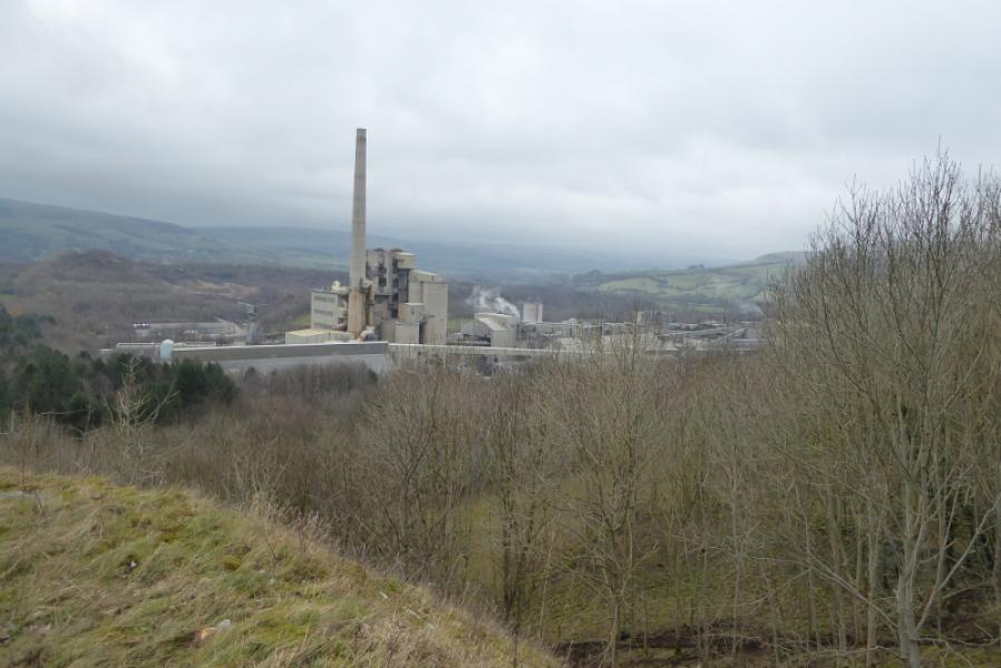
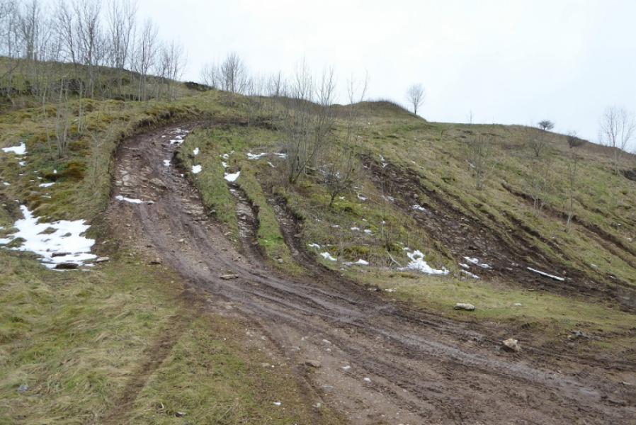
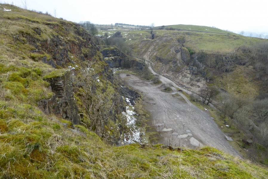
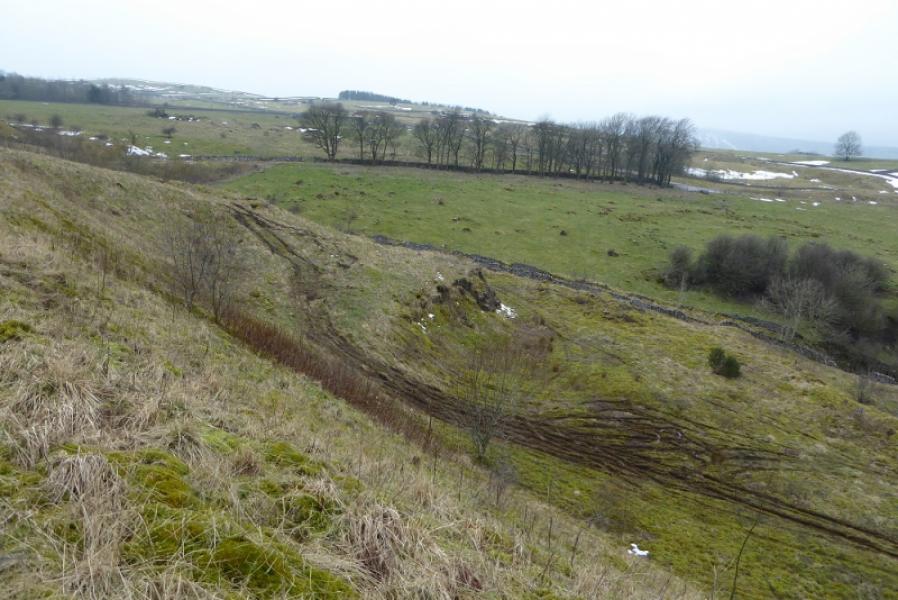
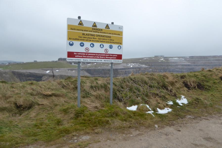
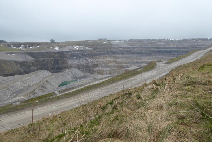
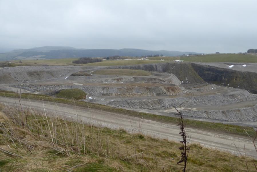
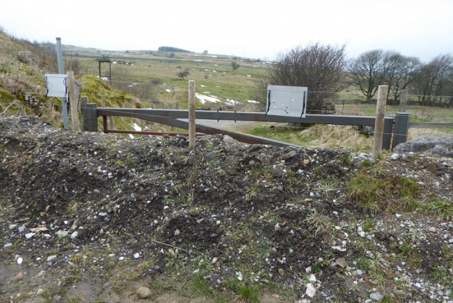
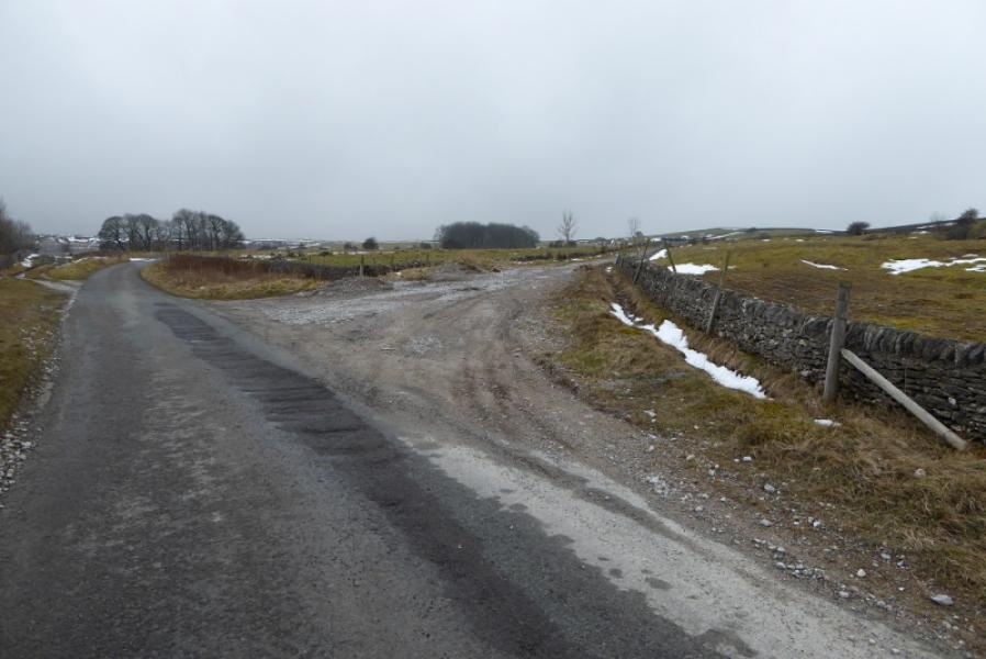
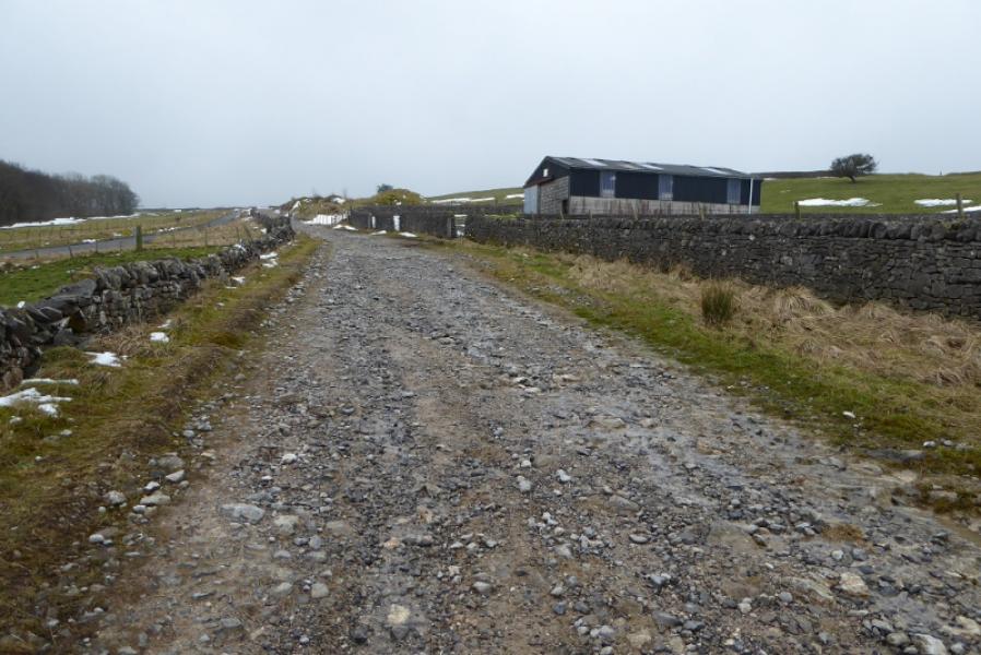
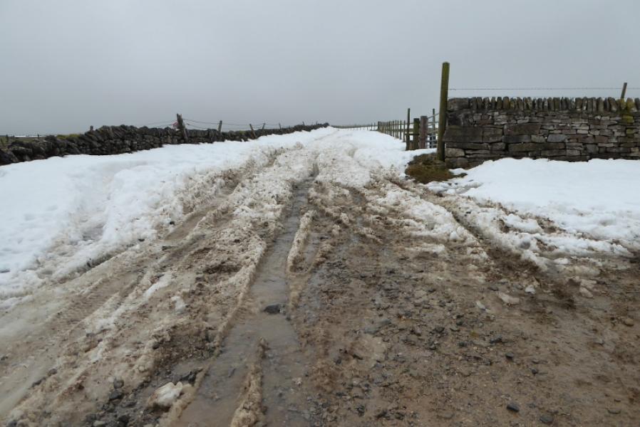
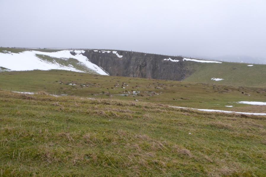
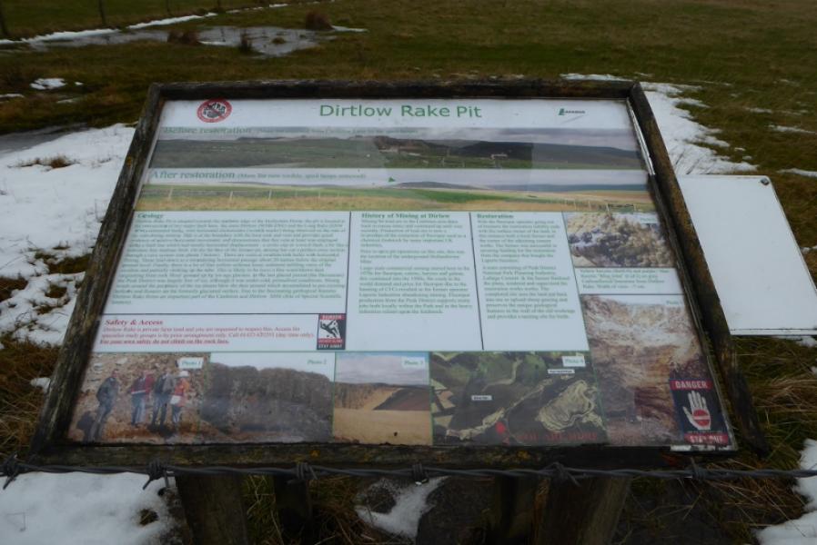
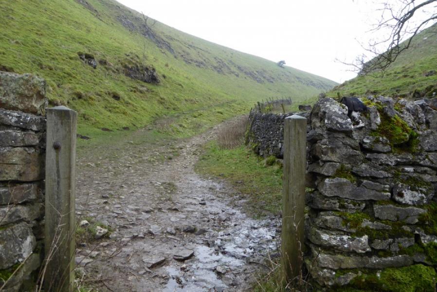
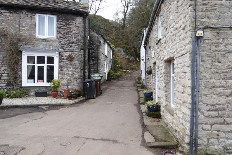
(1) In the centre of Castleton is a short section of road running due north to south. Follow this S then continue off the main road to reach the Market Square which is actually a triangle! Continue on the minor road but soon reach the turning for Cave Dale on a bend. Ignore this and continue along the road until past all the buildings which include an old needle factory. A little further, after a turning circle, the road splits. Take the left fork which climbs gradually – much less so than the right fork. When the unmistakeable Hope cement works comes into view, look for a path forking right and follow this as it traverses around the end of the ridge above. It cuts the corner and joins a rough track just above the cottages at Pindale. Follow the rough track up to reach the large level area below the cliffs on the left. This is Pindale Quarry. Follow the track left, below the broken cliffs. When the track opens up again, one is looking directly at the cement works. A rough track/path leads up to the ground above the quarry cliffs. Follow this but be careful as, in a few places, the path gets close to the edge and it's a big drop. Continue on the now faint path. When it starts to descend, drift left to cross a barbed wire fence (fairly easy) then another fence higher up which is a little more difficult and has triple barbed wire in places but this becomes single if one follows it SW. Soon reach a prominent notice. Behind this is the huge open quarry which feeds the cement works. Almost opposite is an old gate which leads to a minor lane which, in turn, leads to a minor road where one turns left – gently uphill. Follow this until a very wide track forks off right and shadows the road. Follow the track past a modern barn. Over to the right is Dirtlow Rake and there is an information board some way further. When the track turns right, follow it to where it is crossed by the Limestone Way. This is the highest point of the walk.
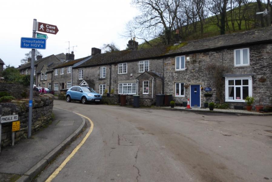
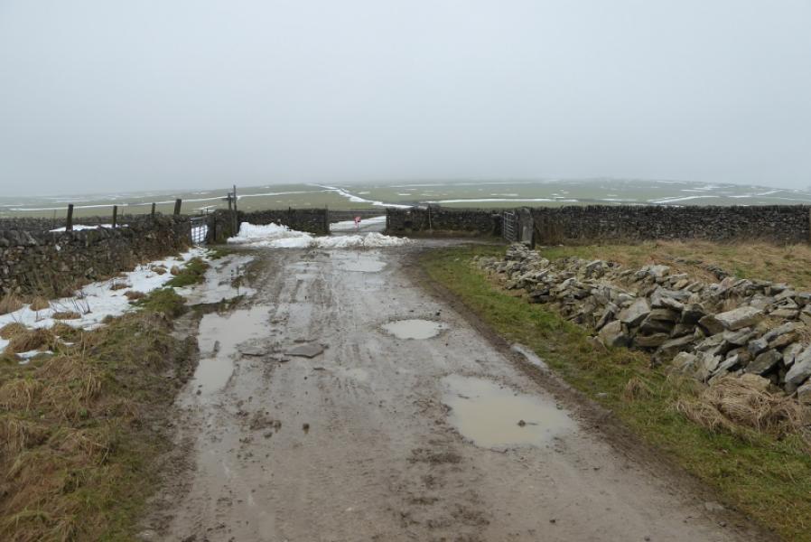
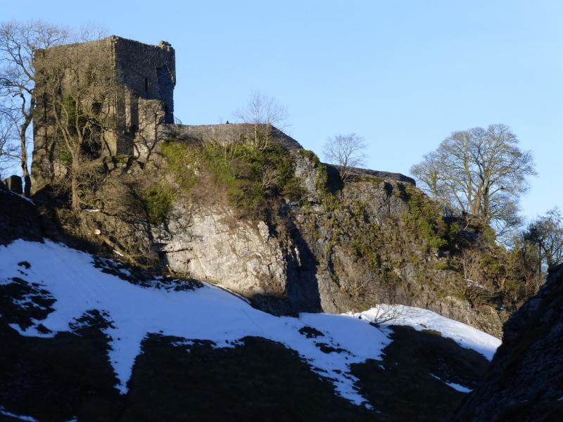
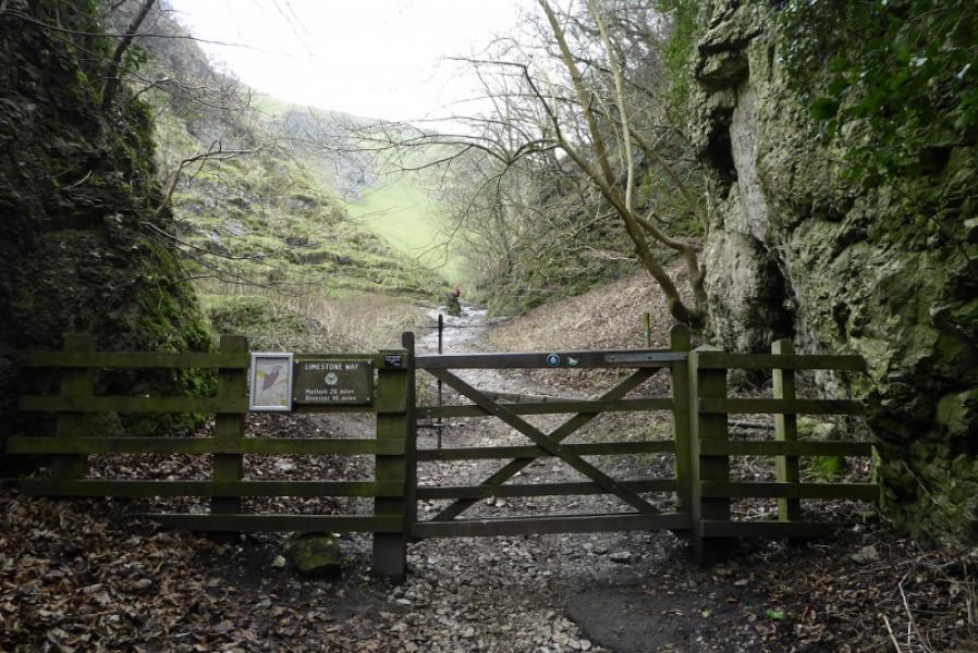
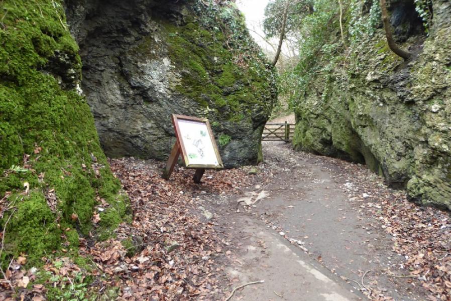
(2) At this crossroads of paths and tracks. Go right, NE, to join the Limestone Way. After about 500 m, take the right fork, E, and follow the path down. It steepens noticeably after a gap in a wall. Continue down to reach Cave Dale where you are between limestone cliffs, some with caves and potholes, and pass below Peveril Castle. Continue down and exit Cave Dale by an information board in a narrow gap between two cliffs. Turn left and reach Castleton village.
Notes
(a) This walk took place on 18th February, 2018.
Photos - Hover over photo for caption. Click on to enlarge. Click on again to reduce.