Get Lost Mountaineering
You are here: England » Peak District » Baslow to Ladybower including Gardom's, Birchen, Froggat, Curbar, Burbage, Higgar Tor & Stanage
Gardom's Edge & Birchen Edge from Robin Hood Inn
Gardom's Edge & Birchen Edge from Robin Hood Inn
Start/Finish
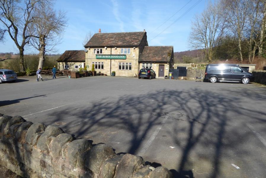
Birchen Edge (Pay & Display) car park which is adjacent to the Robin Hood Inn, a prominent landmark, on the A619 road about 2 km from the roundabout at the eastern end of Baslow village. The Inn has a large car park but only for its own customers. The Birchen Edge car is adjacent to the Inn car park but a little further from the main road. There is a rough car park, that seems to be free, which is opposite the Inn car park but many who use it get stuck in its mud!
Distance/Time
5 km. About 2 hours.
Peaks
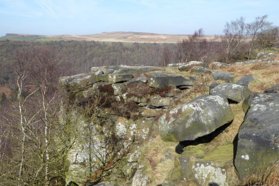
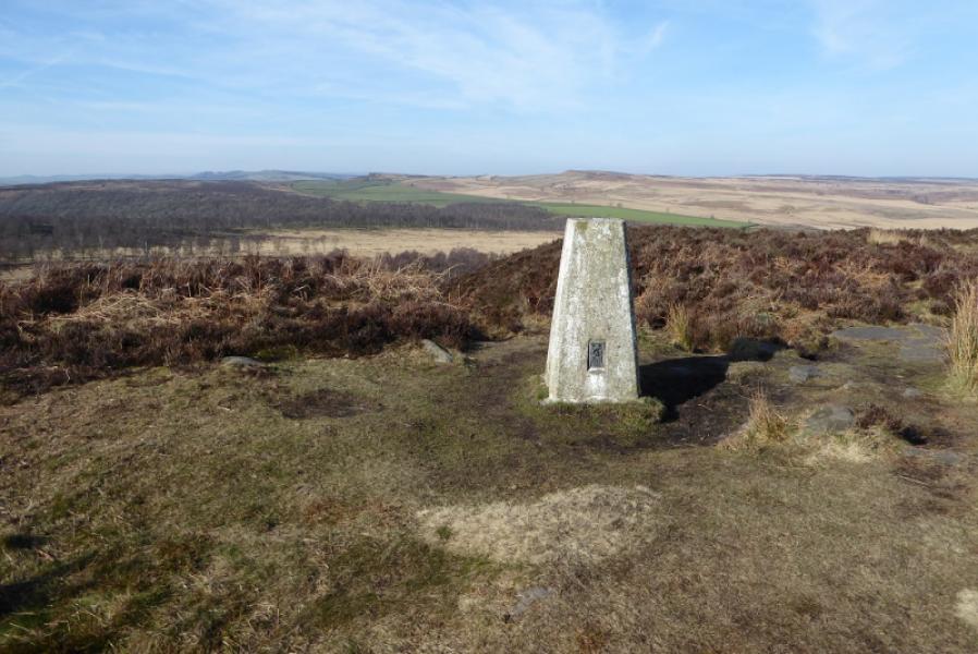
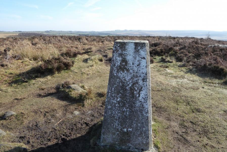
There are no real summits on this walk as it is mainly an edge walk along Gardom's Edge and Birchen Edge. The highest point which can be reached is the 310 trig point on Birchen Edge.
OS Outdoor Leisure 24: White Peak
Introduction
This is a lovely short walk in the White Peak although the rock is more in keeping with the Dark Peak! The dilemma faced when walking an edge is whether to walk below it or on top of it and there is never an easy answer. This route walks along the top of both edges. A future one may walk below!
Route
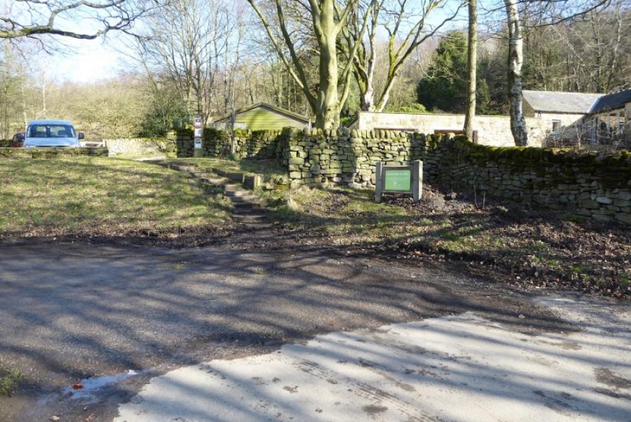
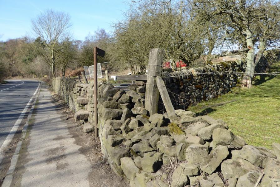
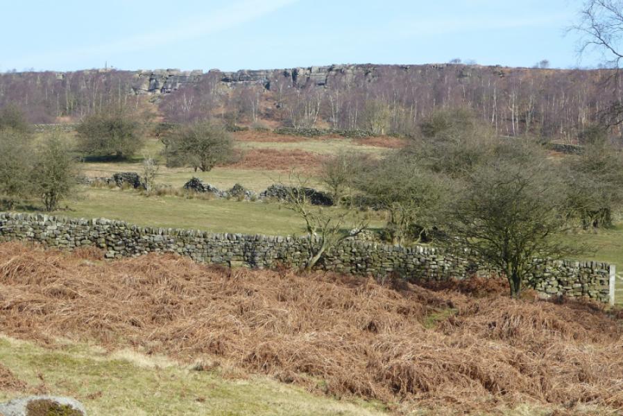
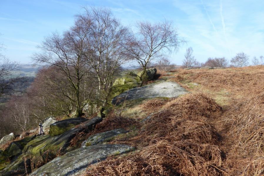
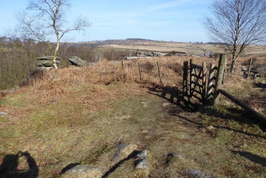
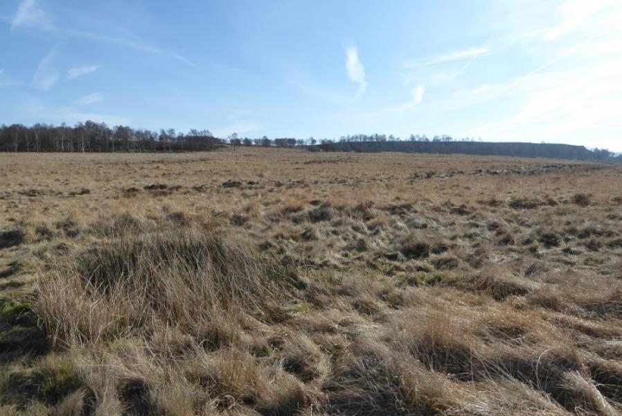
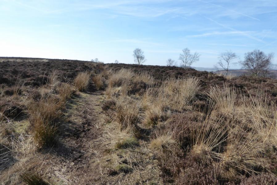
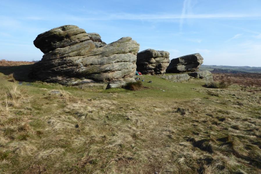
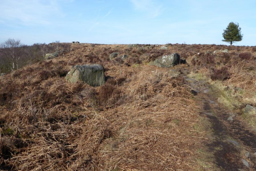
(1) Walk back down the main road towards Baslow passing the Robin Hood Inn. Soon after the entrance to the camp site, look for a not very obvious sign for the start of the path to Gardom's Edge. Once clear of the road, the view starts to open up and one can see Birchen Edge quite clearly well off to the right. Moorside Farm is also just off to the right. Once past the farm, the large outcrop known as the Three Men becomes very obvious and is worth a short detour before returning to the main path. After passing through the wall, look for a faint path going right and follow this up but stay to the left of the long wall running roughly north. The edge shadows this wall at varying distances from it and there are several faint paths which can be followed. Eventually, reach a gate with the road not much further (but not used).
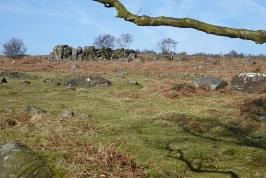
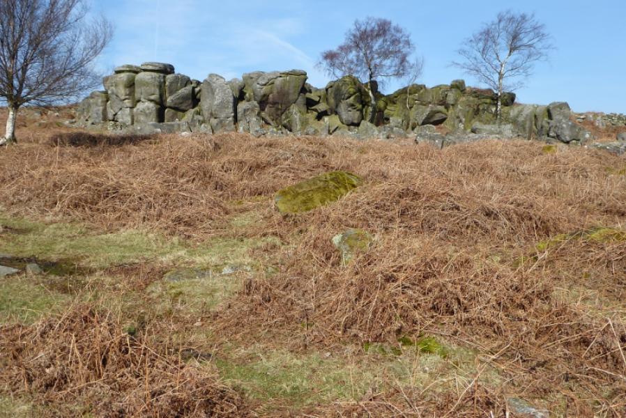
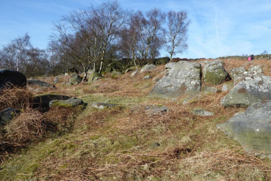
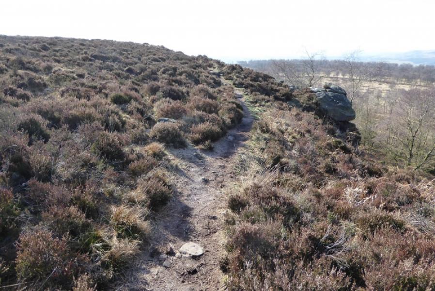
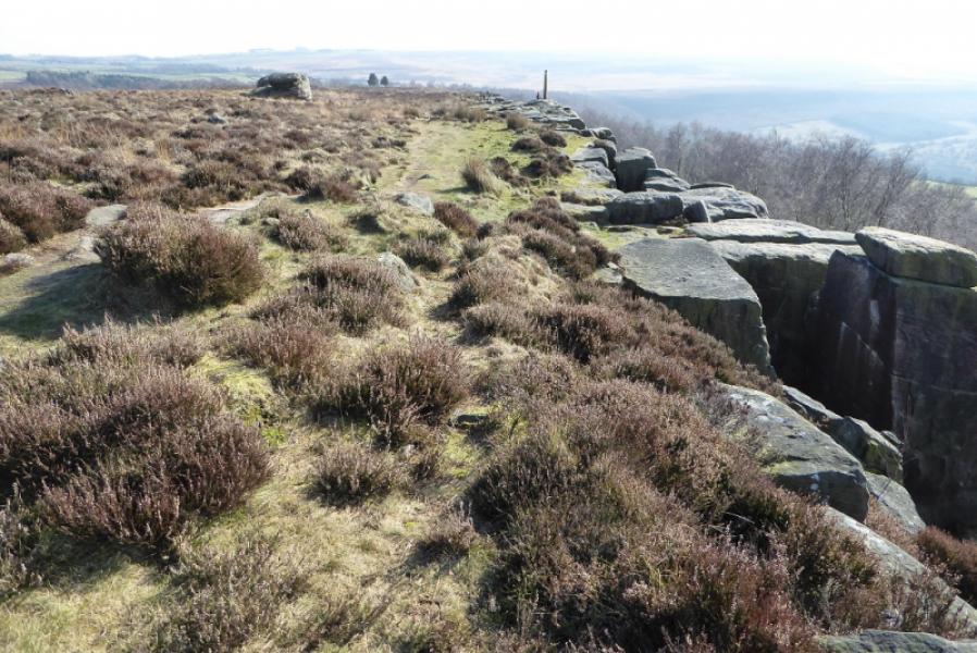
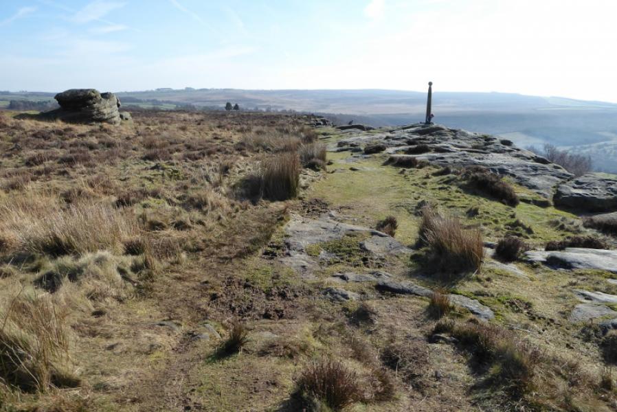
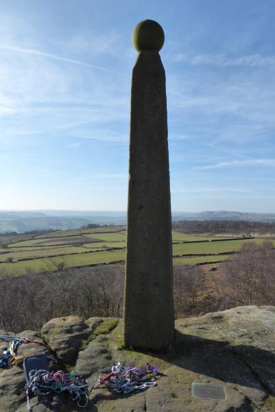
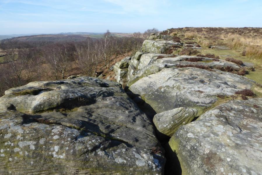
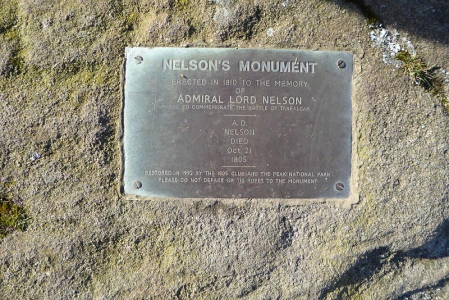
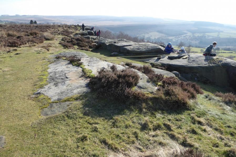
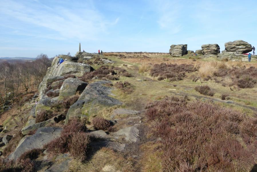
(2) Once through the gate stay on the path on the right of the wall and follow it towards the road until a faint path breaks off right heading towards an obvious gap in the scattered trees in the distance. Follow this path, with little change in direction. It starts to ascend gently to reach the crest where a more obvious path is followed SW to the trig point then S along the top of Birchen Edge to the tall thin pillar which is Nelson's Monument. Nearby but set back is another large outcrop known as Three Ships. Continue along the edge. The descent off is rough and stony so be careful especially in wet weather. Reach the main path below the edge. Turn left and follow it back to the minor road. Turn right for the car park.
Notes
(a) This walk took place on 24th February, 2018.
Photos - Hover over photo for caption. Click on to enlarge. Click on again to reduce.