Get Lost Mountaineering
You are here: England » Lancashire » Trough of Bowland
Saddle End, Fair Snape Fell & Parlick from Fell Foot
Saddle End, Fair Snape Fell & Parlick from Fell Foot
Start/Finish
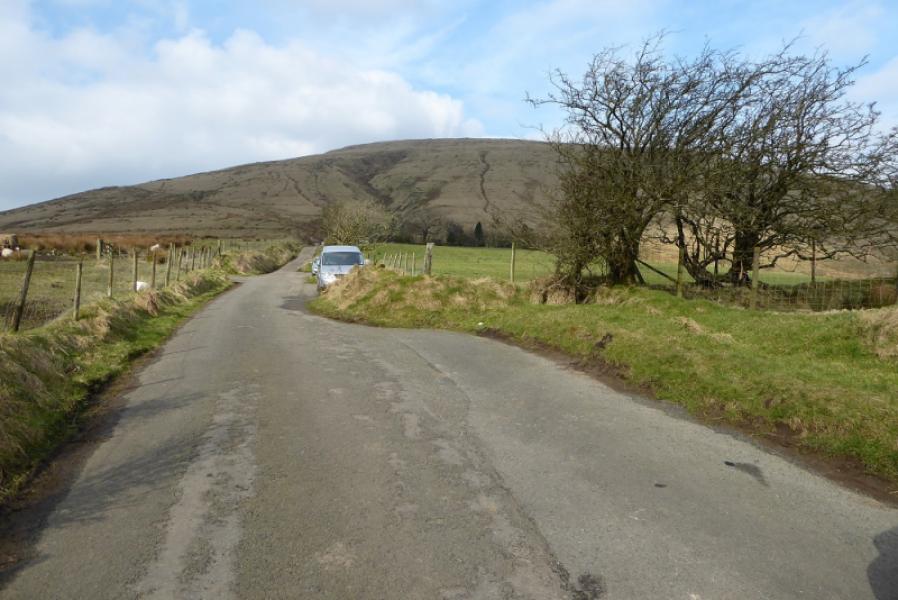
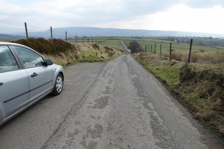
Bottom of the lane leading to Fell Foot house. The lane starts at SD 601 442. There are a few rough lay bys on this lane but parking is not allowed close to the house. Fell Foot has a post code but putting it in a satnav takes you somewhere else! If you don't know the area then it is best to make your way to Chipping village (toilets, shops and pubs) which is just over 2 km away.
Distance/Time
9 km. About 3 hours.
Peaks
Fair Snape Fell (summit), 520 m, SD 597 473.
Fair Snape Fell (trig point), 510 m, SD 591 468.
Parlick, 432 m, SD 596 451.
OS 102: Preston & Blackpool. OL 41: Forest of Bowland.
Introduction
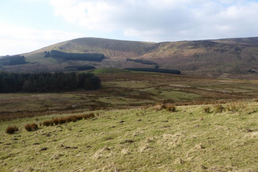
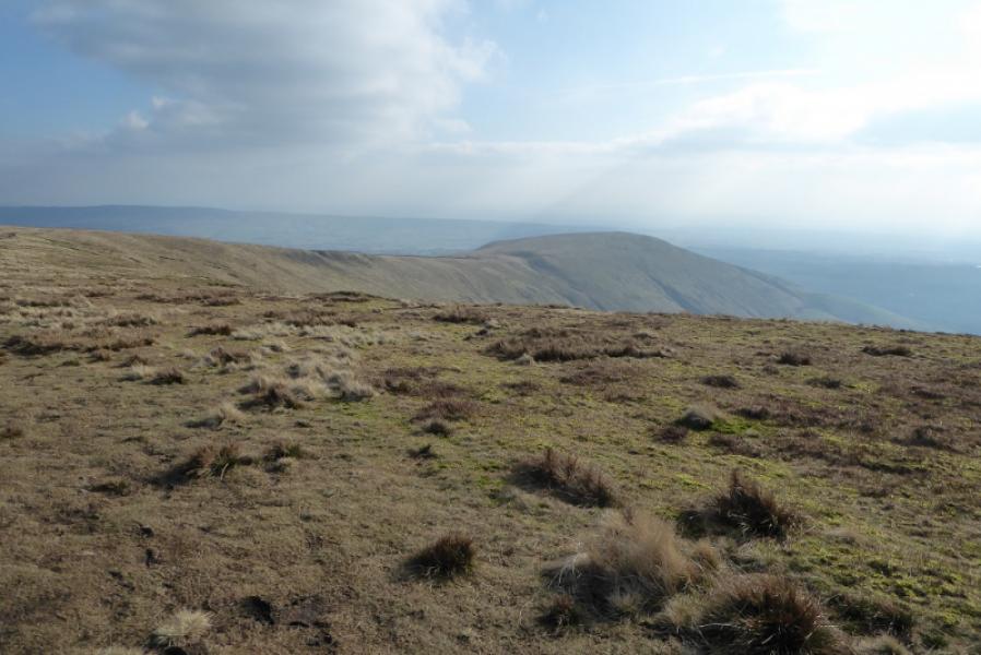
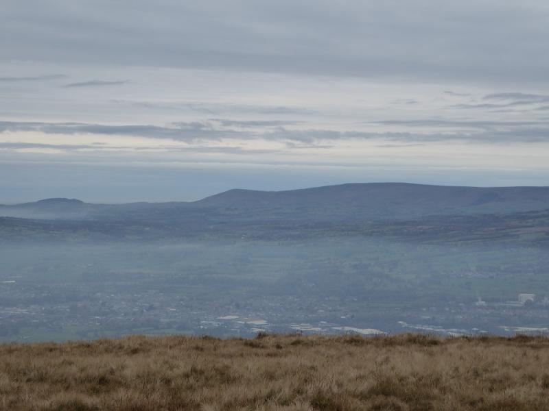
Firstly, there is a lovely little book on this area which also includes part of the South Pennines. This is a book well worth buying. It came out in 1990 so there may be a more up to date version now available. It is called Bowland & the South Pennines by John Gilliam, published by Grey Stone Books (Hoddlesden), ISBN 0-9515996-0-7. This is a pleasant walk which is possible in almost all conditions including wintry ones. The route is well worn and easy to follow. In clear weather, surrounding hills, including Pendle Hill can be seen as well as the Lancashire Coast including Blackpool.
Route
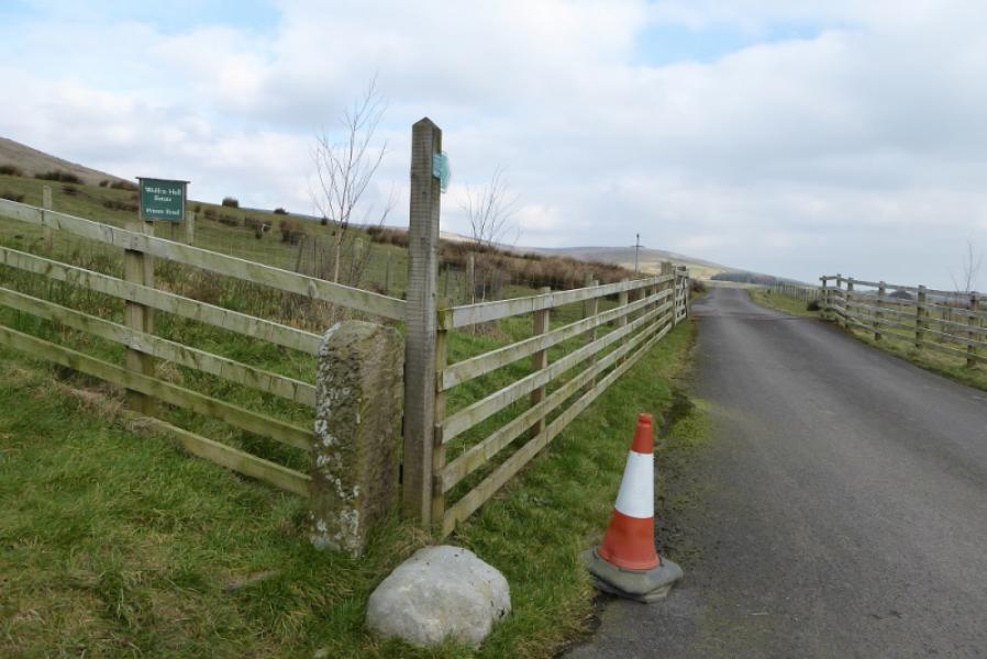
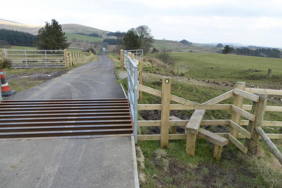
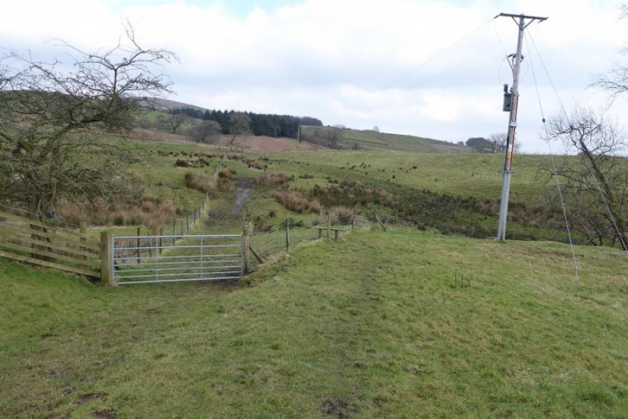
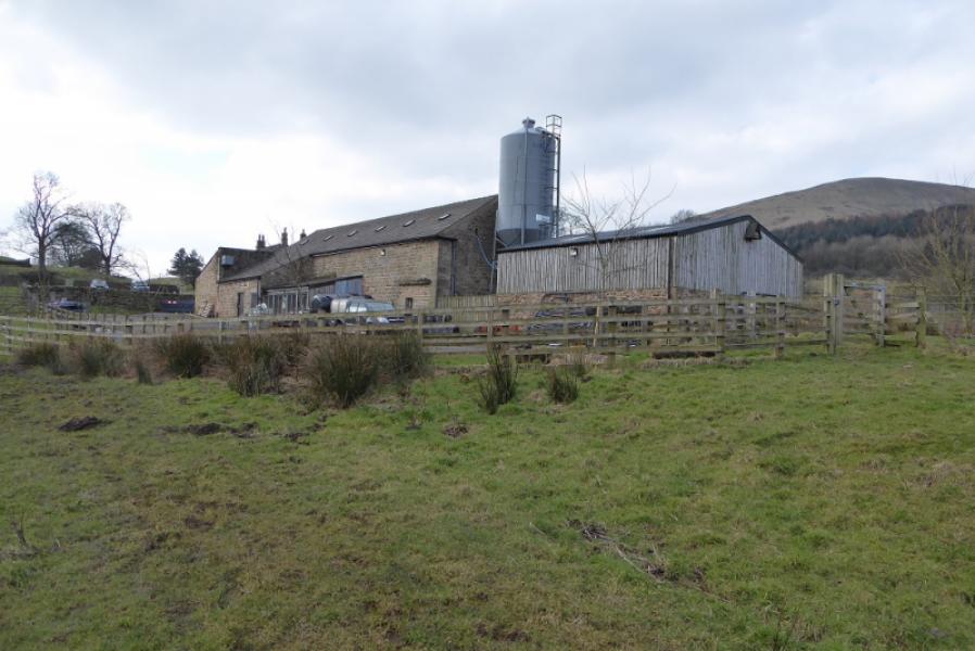
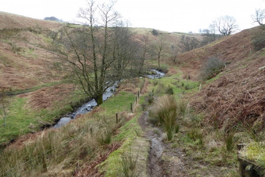
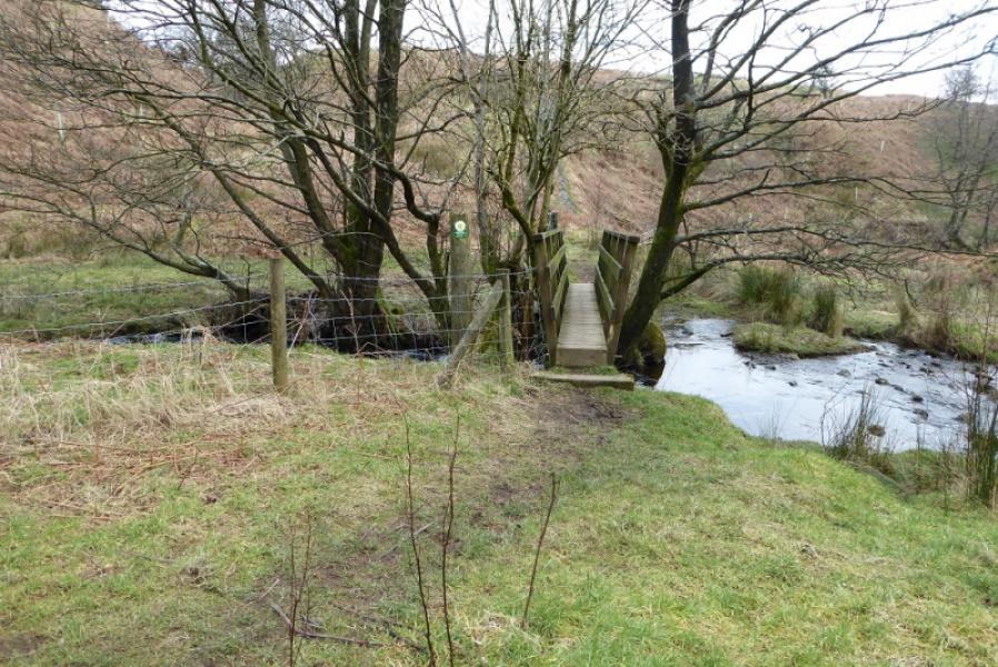
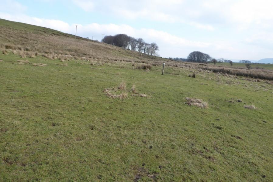
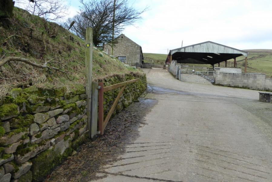
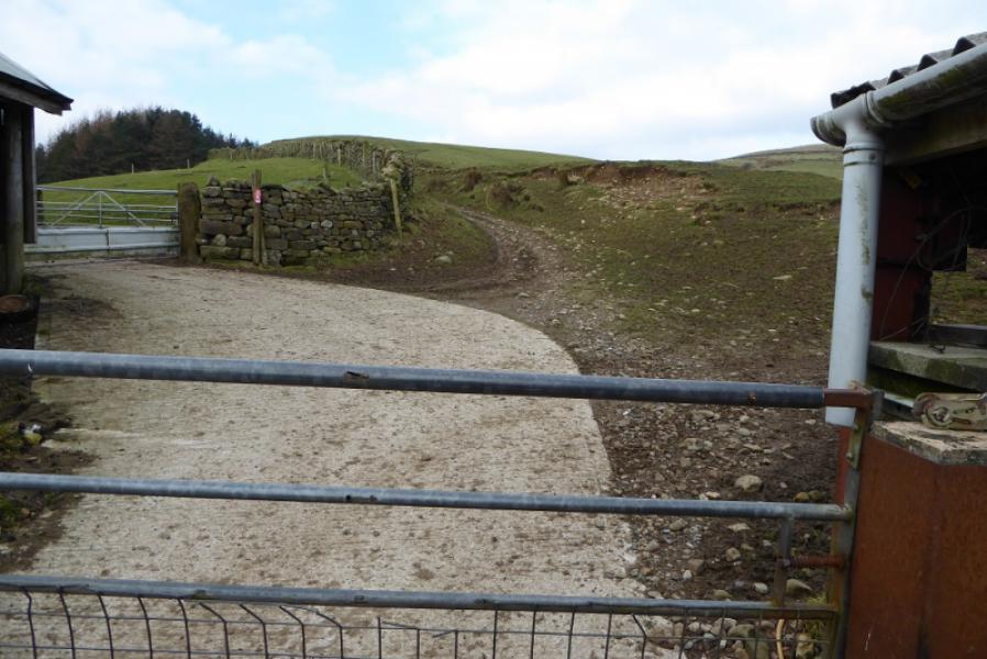
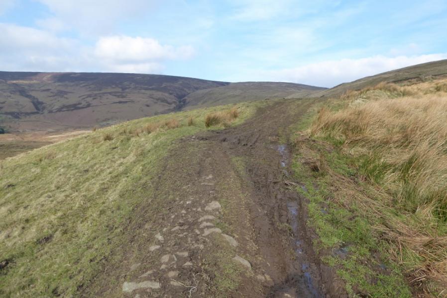
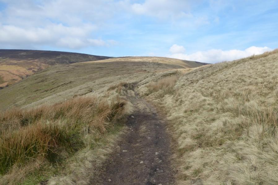
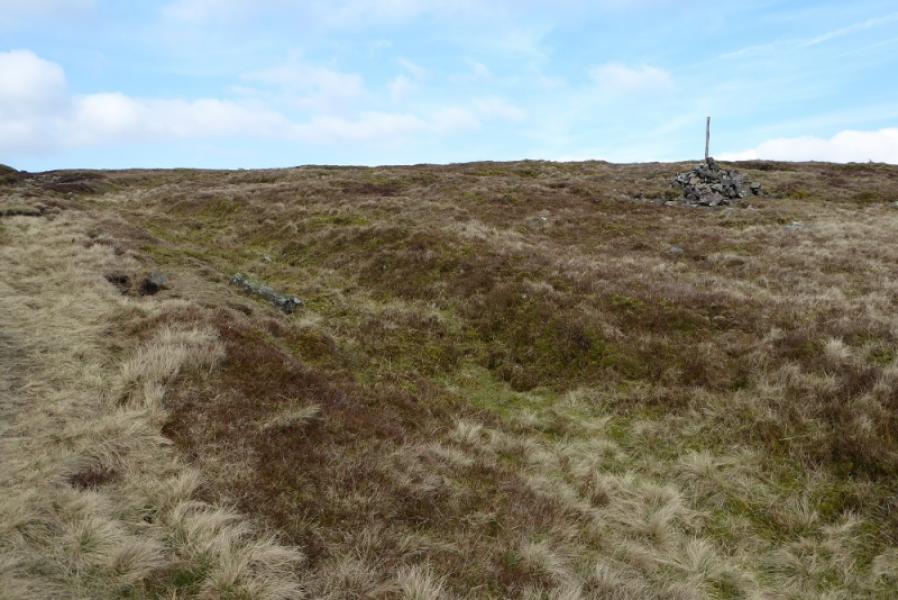
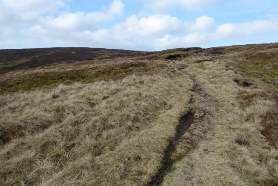
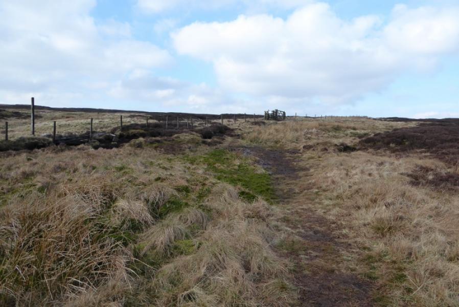
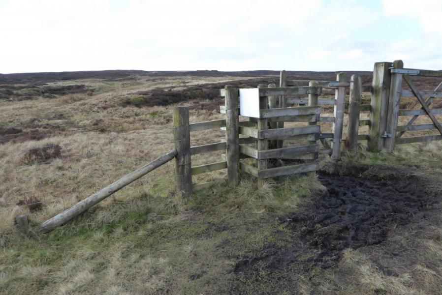
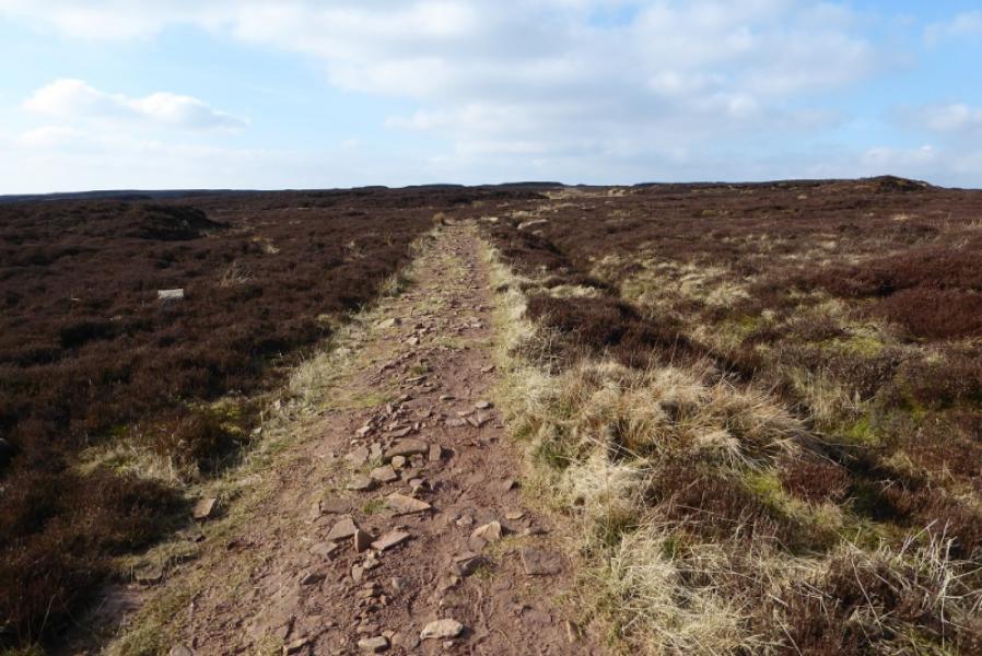
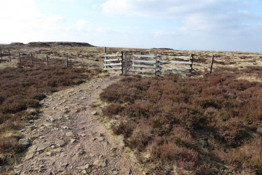
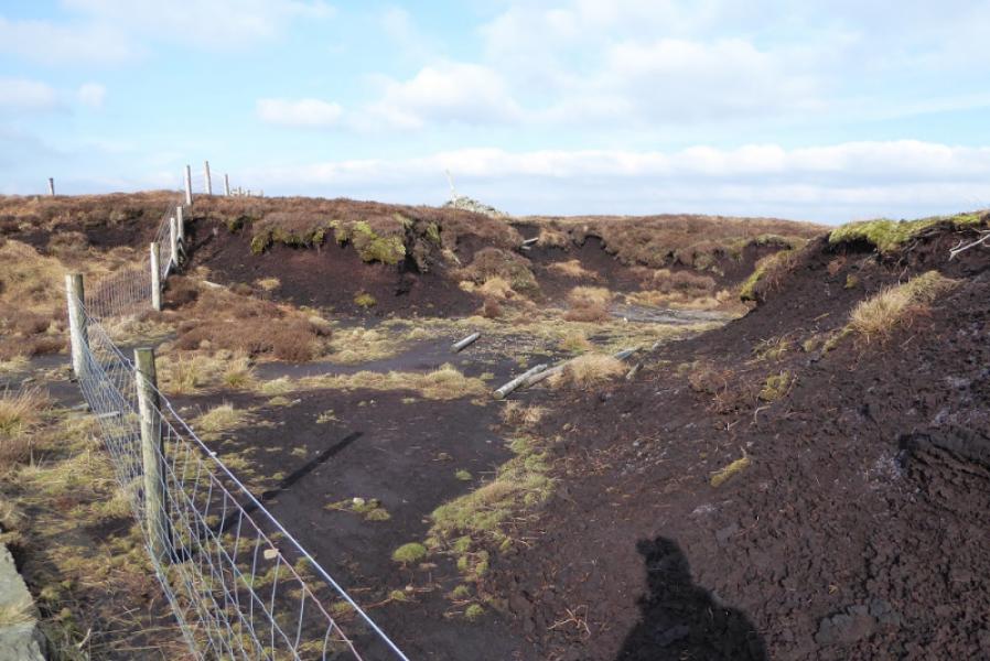
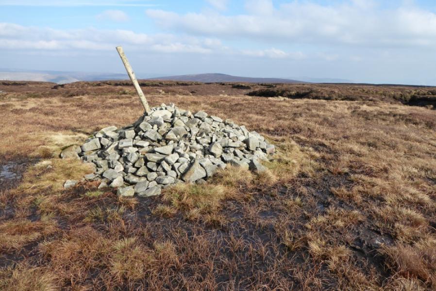
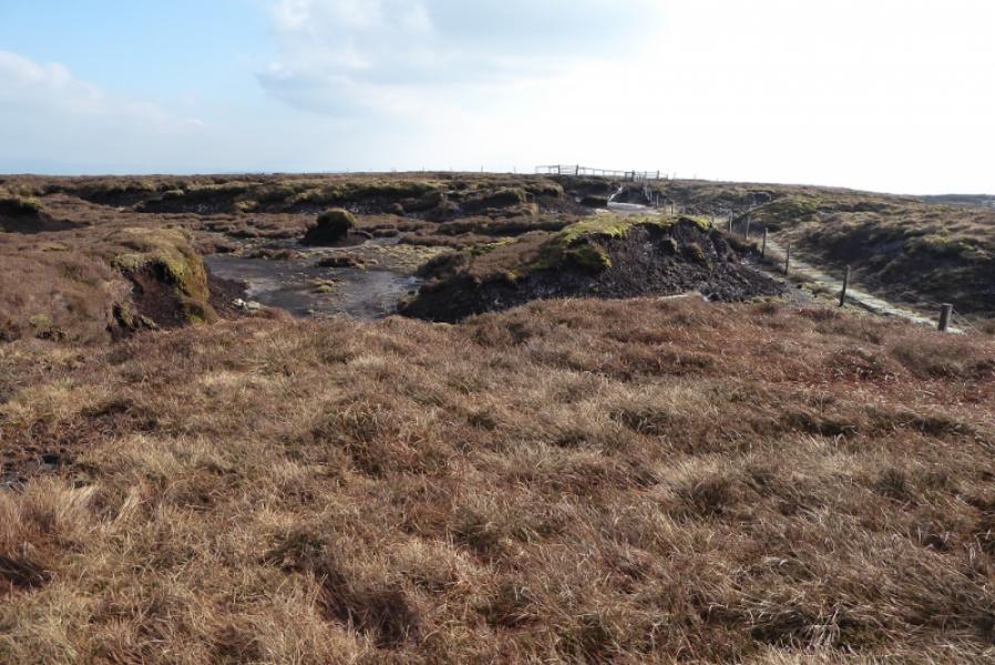
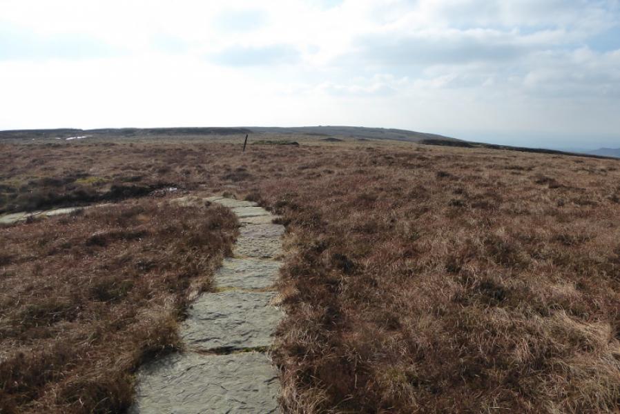
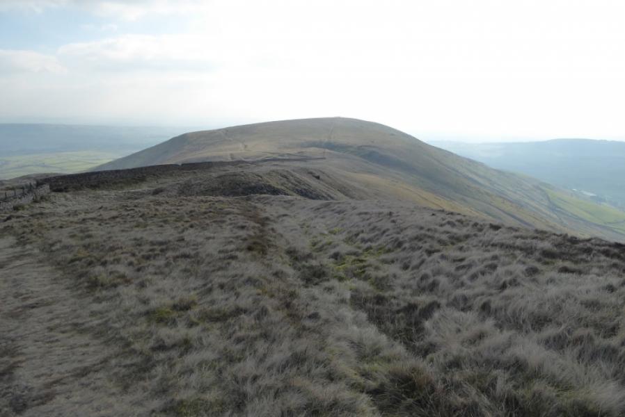
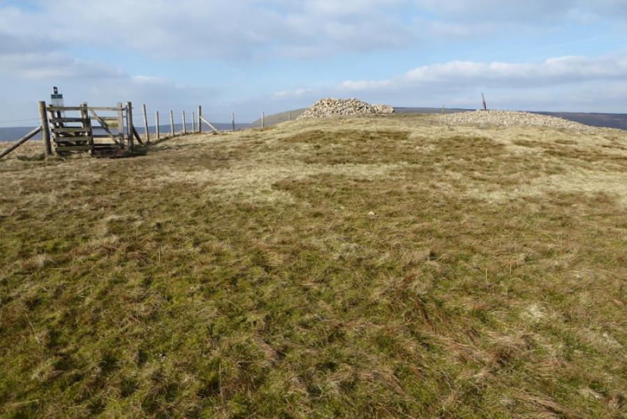
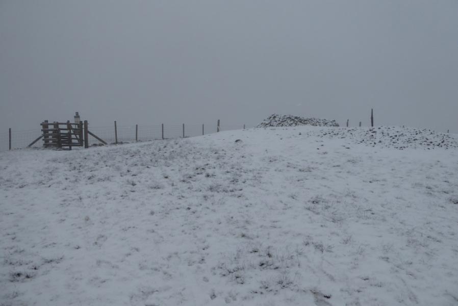
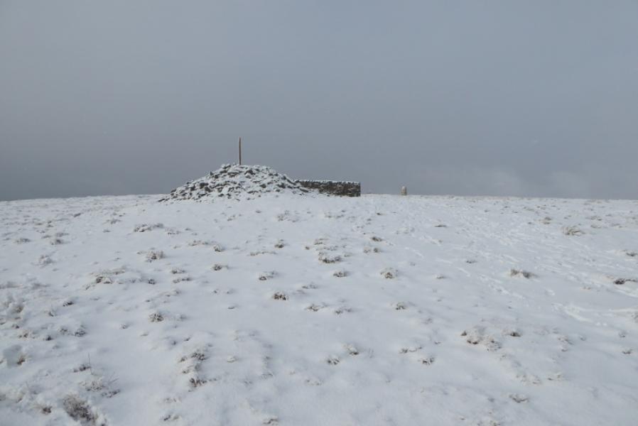
(1) Take the private road to Wolfen Hall. Leave it at a cattle grid and follow the footpath sign. The path shadows the road and passes the buildings to their right. A little further, the path goes right, by a stream, to reach a footbridge. Cross over and continue on the path. When the path is not obvious, there are some posts with white tops to follow. Reach the minor road just below Saddle Fell Farm. Turn left and continue ahead, through the fram, to reach the obvious track. Follow this. It soon appears to split so stay by the wall. The track soon becomes much more obvious and leads up the ridge of Saddle Fell. After a large cairn, the gradient eases considerably. Continue up to a gate. Pass through and follow the track which soon passes through peat hags. Reach the broad, peaty crest where there is a gate with a path going both left and right. Go right. The path soon becomes slabbed and leads to a large cairn which is the highest point on Fair Snape Fell (summit), 520 m.
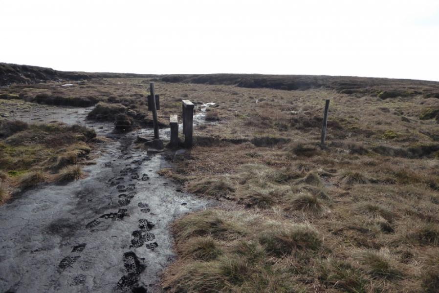
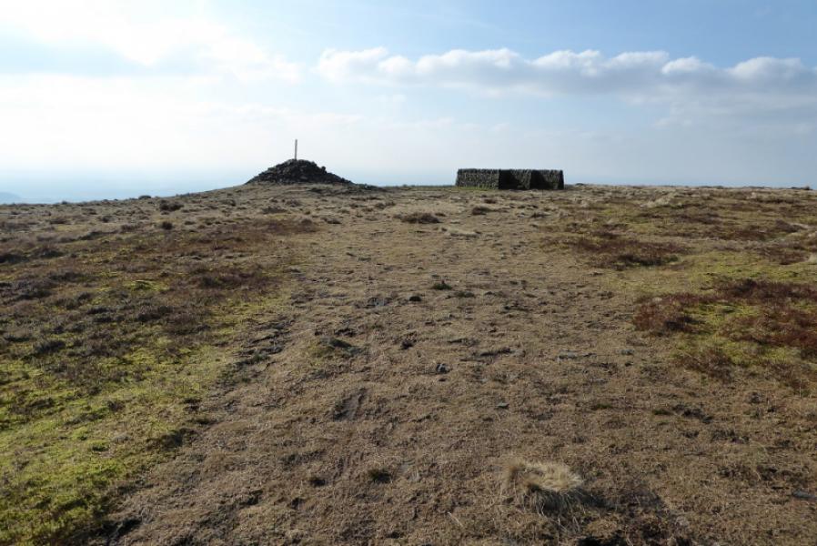
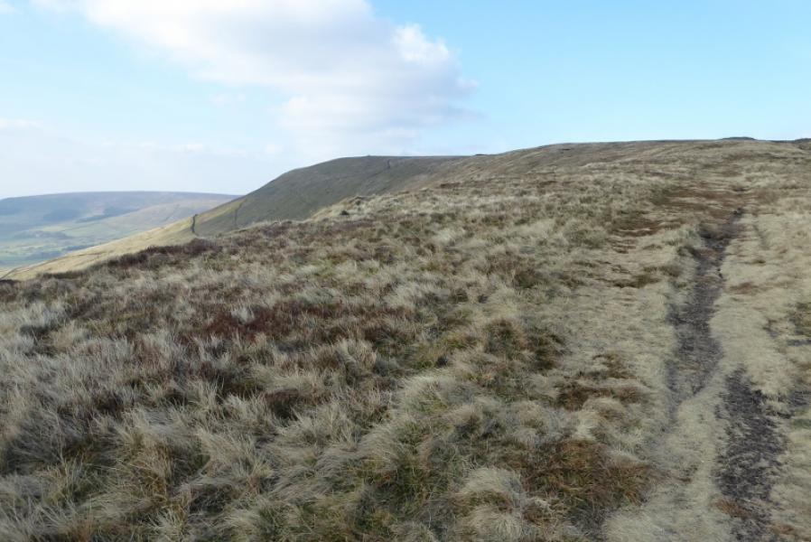
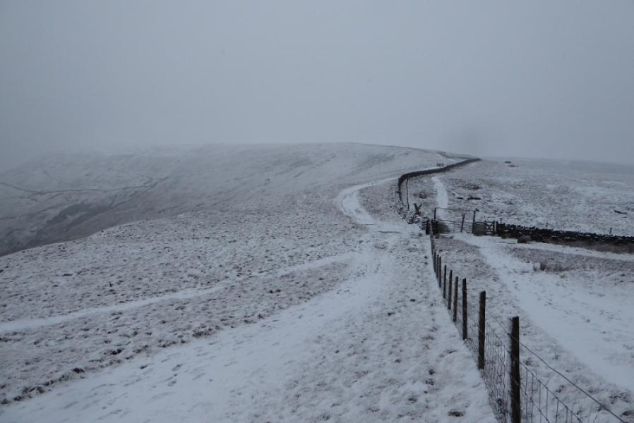
(2) Retrace to the gate and follow the path onwards. This is boggy in places and these areas are best avoided on the right with the general direction being about SW. Reach a large cairn and some shelter walls and the trig point which is Fair Snape Fell (trig point), 510 m.
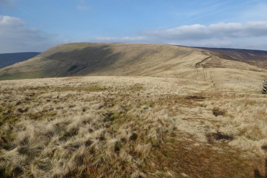
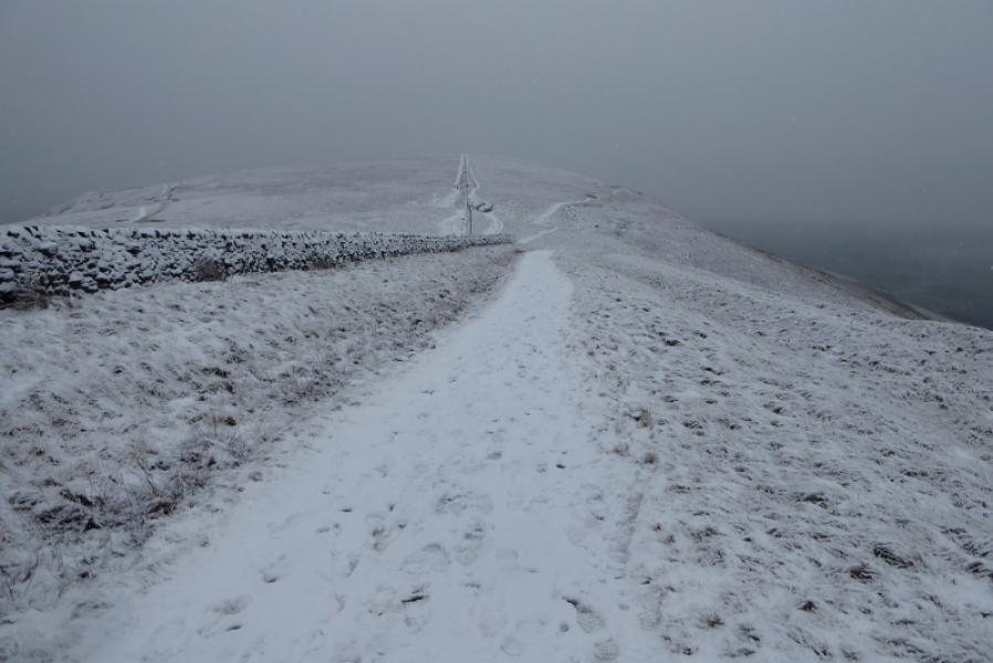
(3) Follow a more obvious path, roughly E, going through a gate then converging with a wall. Turn right and descend into the dip between Fair Snape Fell and Parlick. Continue up, by a fence, and reach the large cairn which marks the summit of Parlick, 432 m.
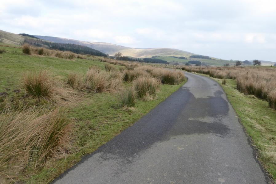
(4) There are various ways down Parlick but it seems easiest to follow the fence down SW to a gate then drift left. There are various paths. If you don't seem to be on one you soon will be. If it is clear the lane to Fell Foot should be visible. The further left you drift, the steeper it gets! Reach Fell Foot then walk down the lane back to the start.
Notes
(a) This walk took place on 22nd February, 2018.
Photos - Hover over photo for caption. Click on to enlarge. Click on again to reduce.