Get Lost Mountaineering
You are here: England » Peak District » Kinder & Mill Hill from Snake Road
The Edge & Fairbrook Naze from near Snake Inn
The Edge & Fairbrook Naze from near Snake Inn
Start/Finish
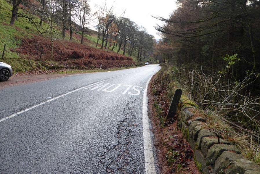
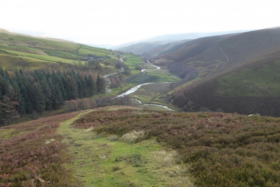
A57, Snake Pass, not far below the Snake Inn. Below the inn are three lay bys within about 400 m. The path starts between the second and third one. Coming from Ladybower, it is probably easier to go to the Snake Inn and turn round. At busy times, these lay bys will soon fill up as they only hold about eight cars in total so you may have to look further afield for somewhere to park.
Distance/Time
10 km About 4 – 5 hours
Peaks
No peaks as such but the highest point is about 600 m. OS Outdoor Leisure 1: Dark Peak
Introduction
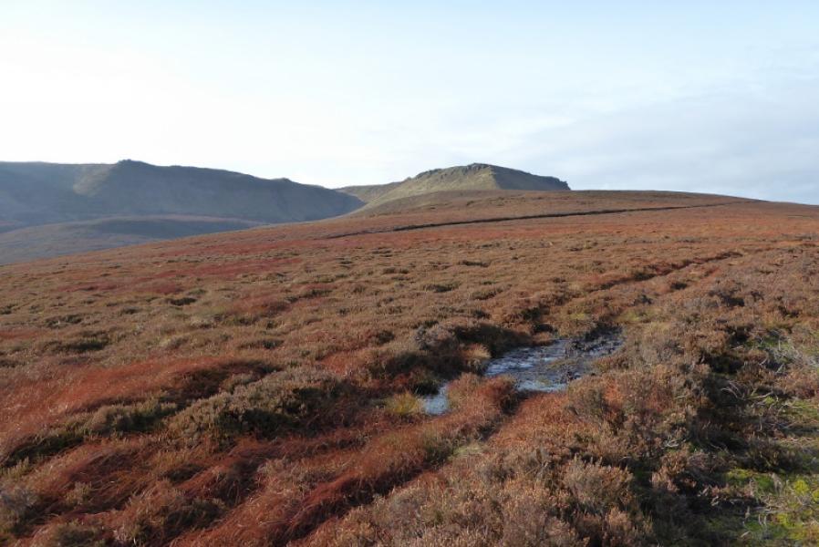
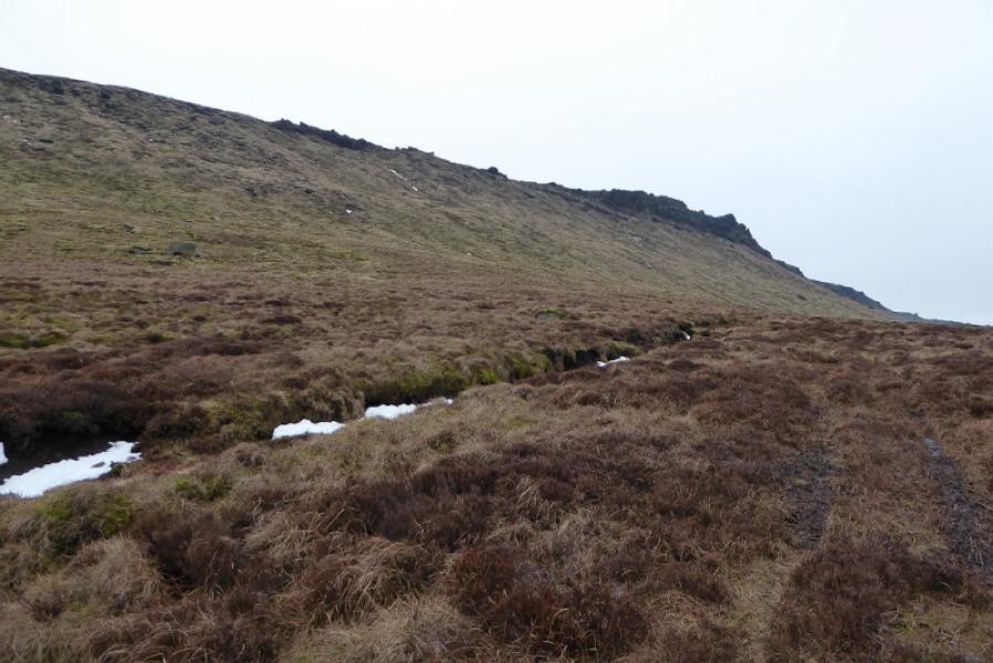
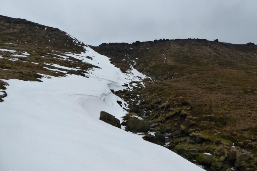
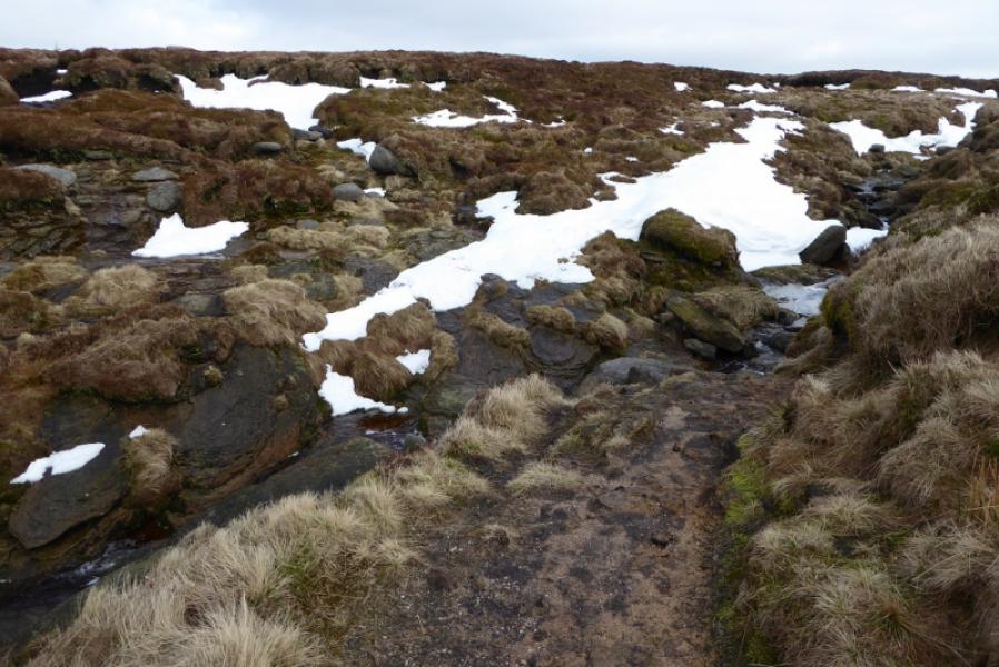
This route uses a little known path below the northern edge of Kinder (in places known as “The Edge”) to reach the north west corner of Kinder before following the edge path back along the northern edge before descending Fairbrook Naze. The path below the edge can be quite faint in places. Some significany gullies are crossed and these can hold large snow drifts into Spring.
Route
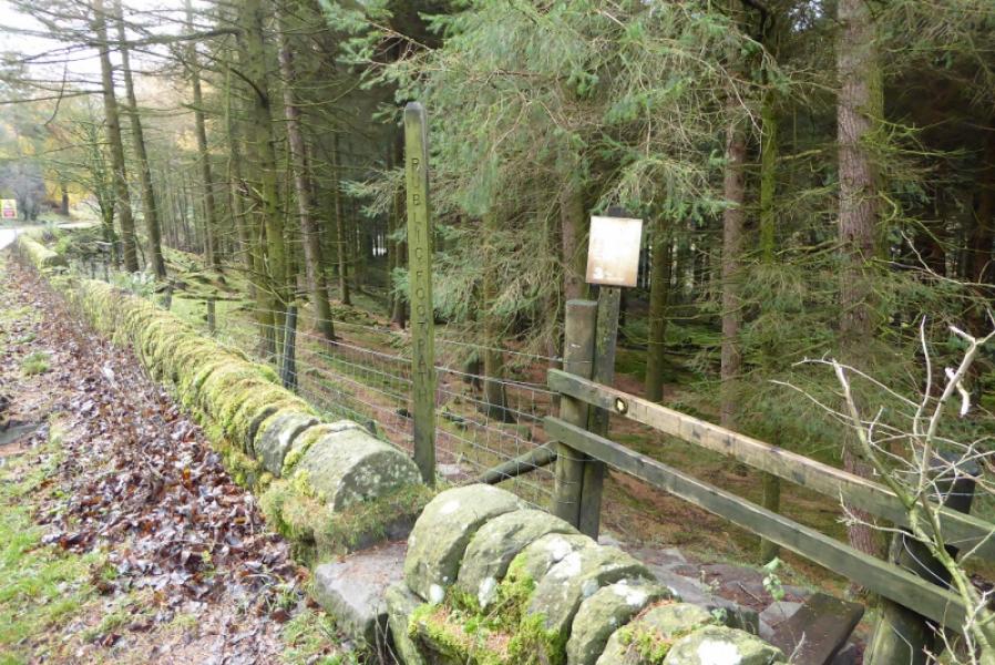
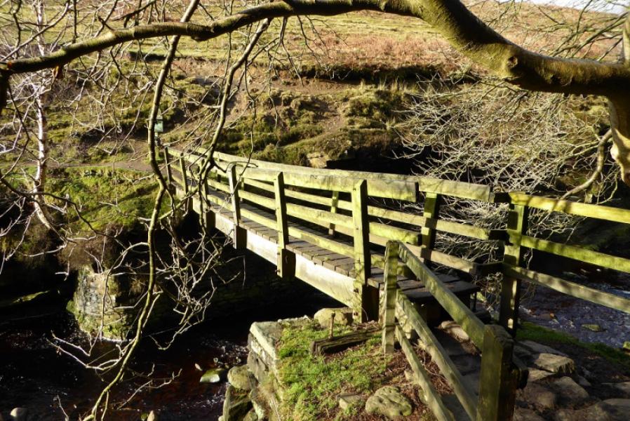
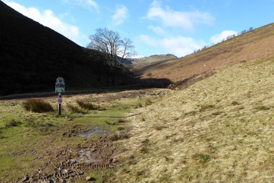
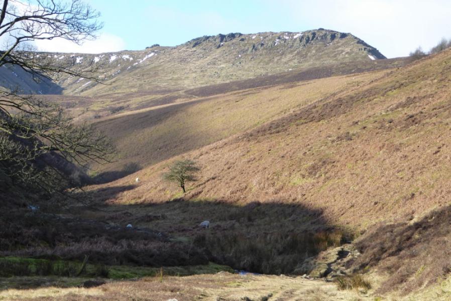
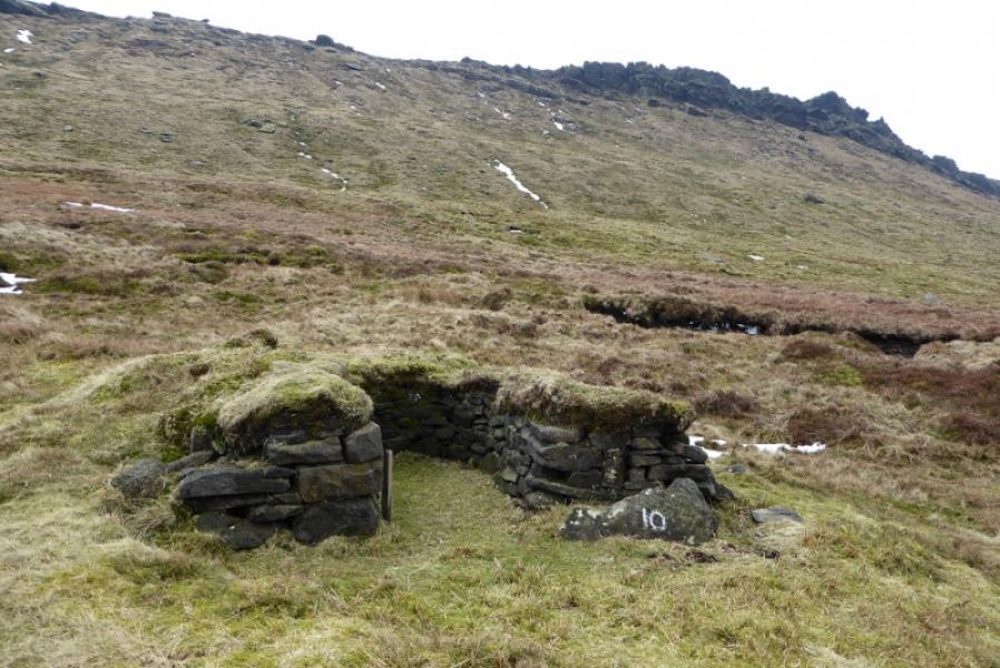
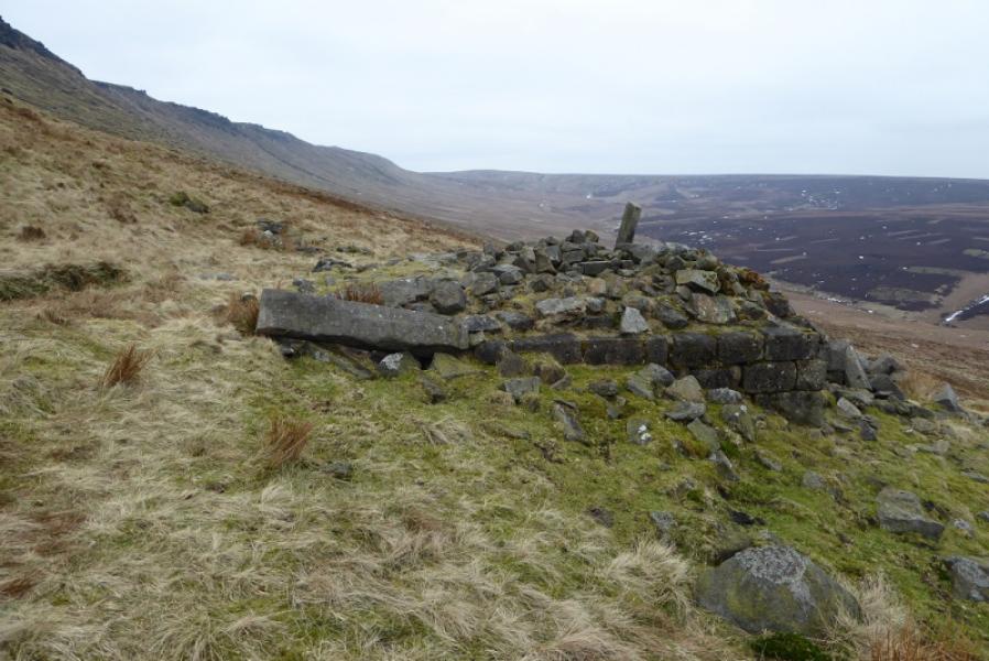
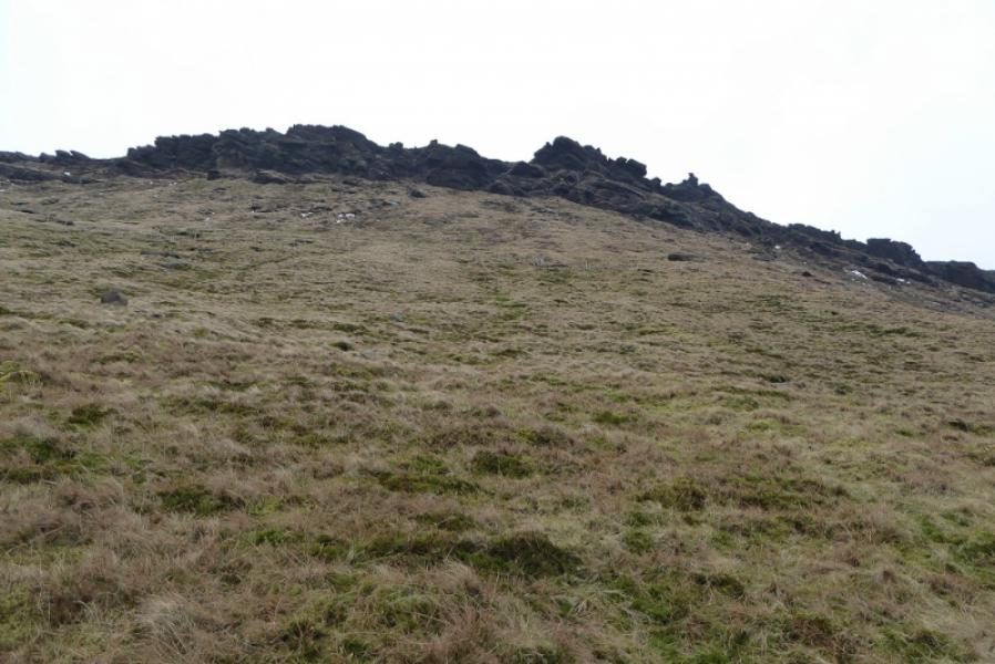
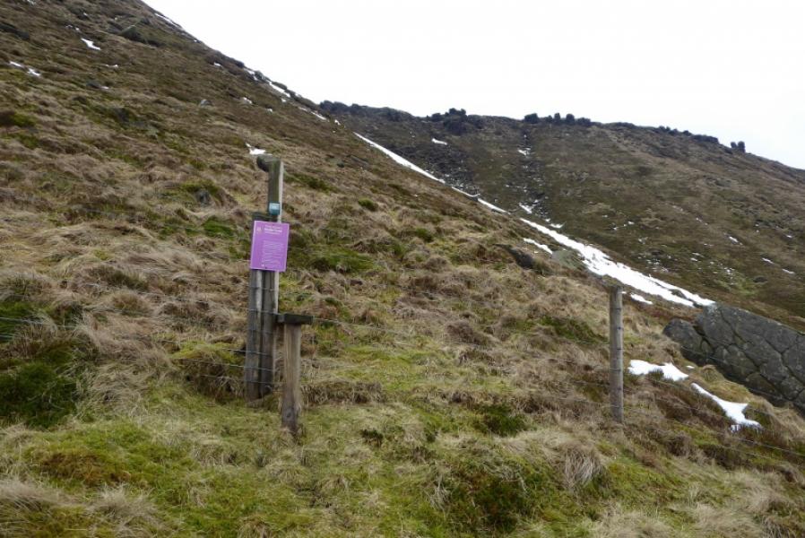
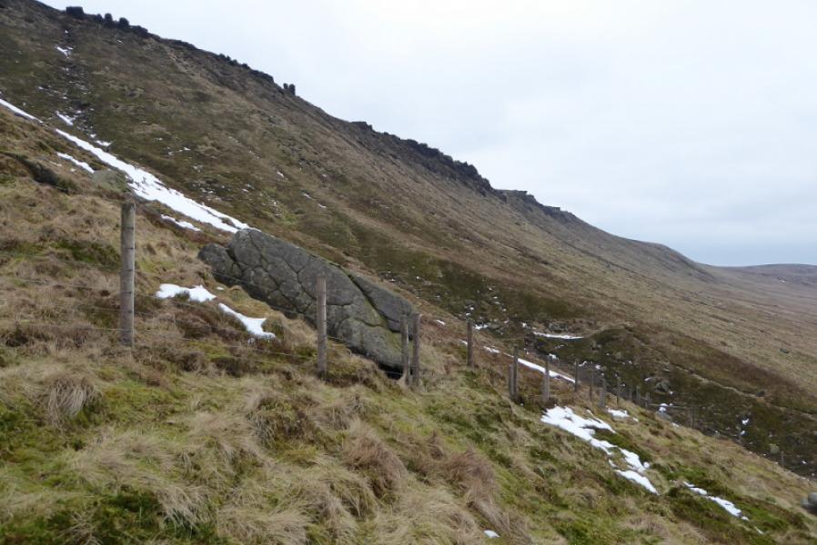
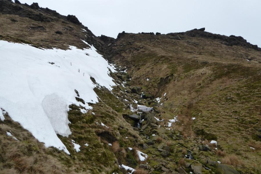
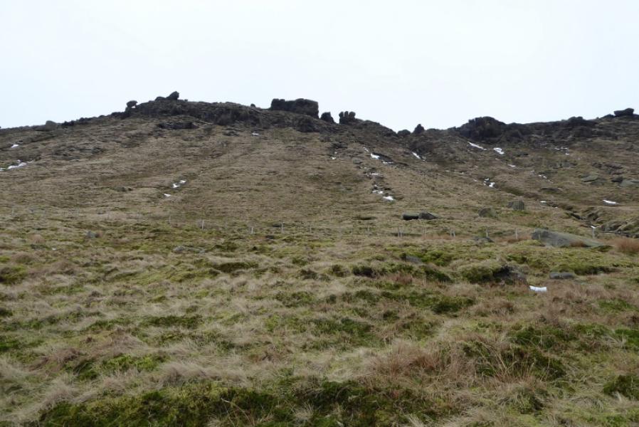
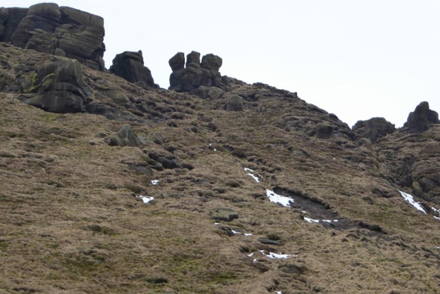
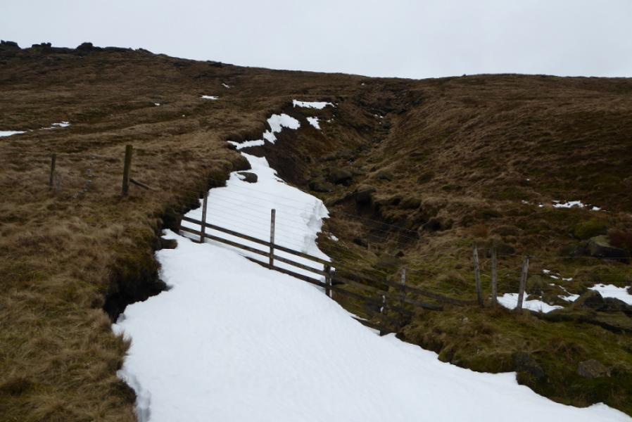
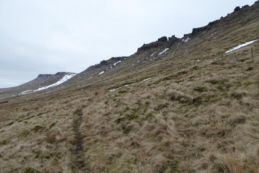
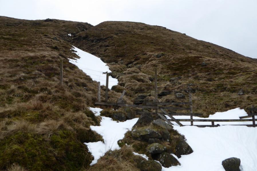
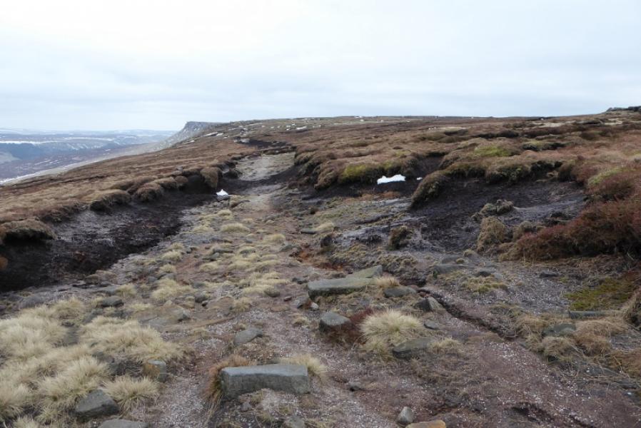
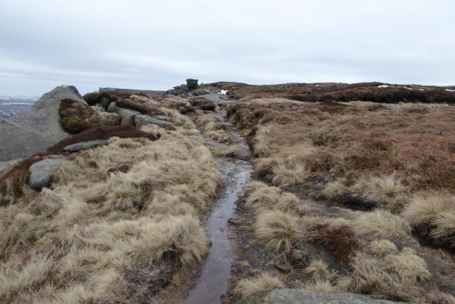
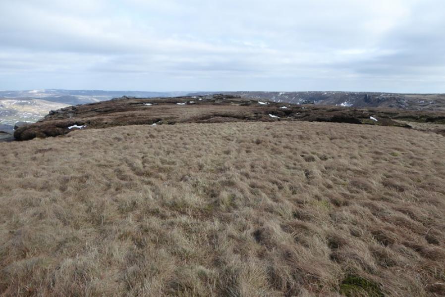
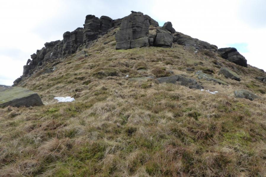
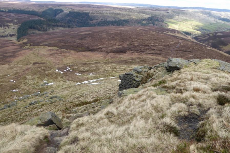
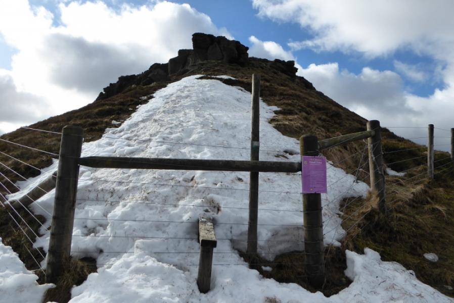
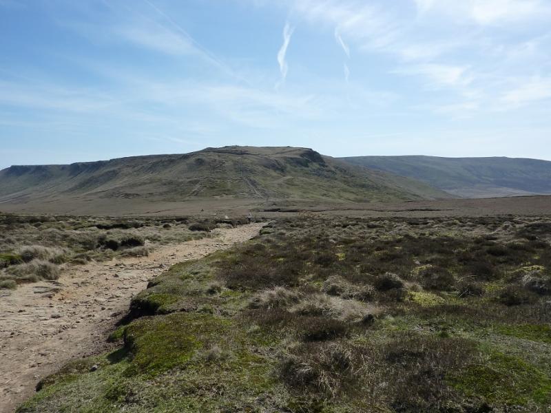
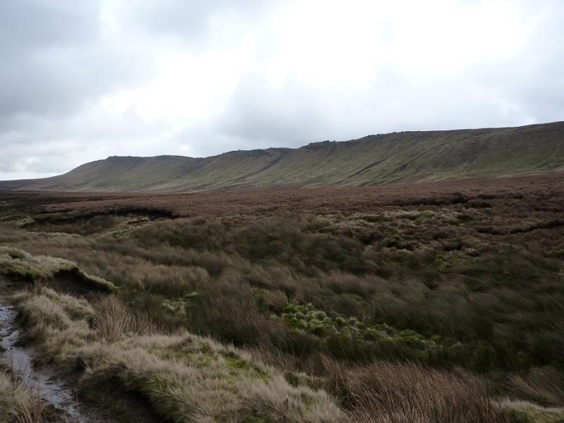
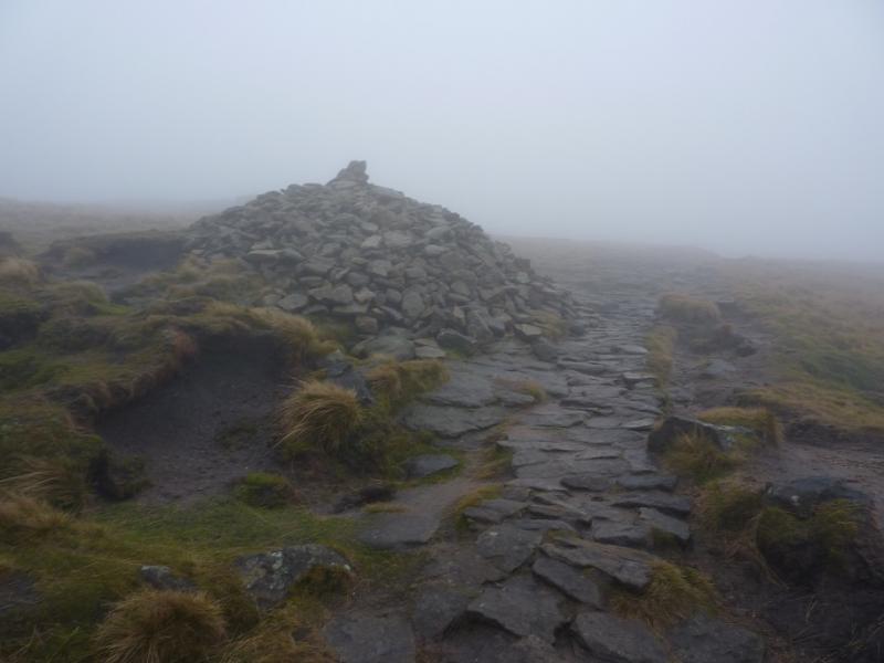
(1) Take the path on the right, W, of the road about 300 m below the Snake Inn. On 17/11/17, the stile was broken so some may find getting over a little awkward. Walk down the path (steps) and continue past the sign for the Snake Inn. Soon after, you may see a small “board” bridge. Go right here to reach the fence above the deep cut River Ashop. Locate the gate which is by the bridge. Cross over, slippery when wet, then turn left, by the sign, and follow the path, to and then by the wall, to the foot of Fair Brook where there is another sign. Turn right here and strike uphill on a moderately steep path. The angle soon eases and then the grass gives way to heather. Stay with the heather path/track as it winds around before reaching a grouse butt (Number 10). Continue, with the edge high above on the left to reach what might be the remains of an old stone hut. After here, the path becomes much fainter for some distance but the ground, although rough, is not too difficult. Cross the very prominent Nether Red Brook and continue W. Note that there is a new fence which is always above the path. Cross Upper Red Brook and some smaller gullies after that. Continue and eventually reach the slabbed Pennine Way which is joined on its ascent from the top of William Clough to the NW corner of Kinder. Continue up, left, to reach a large cairn where a faint path goes off towards a stile over a fence.
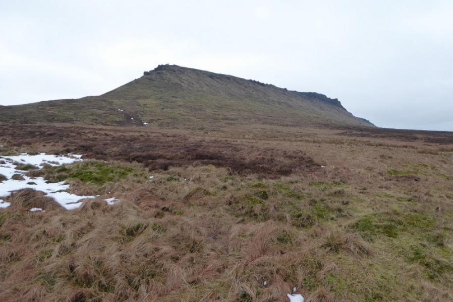
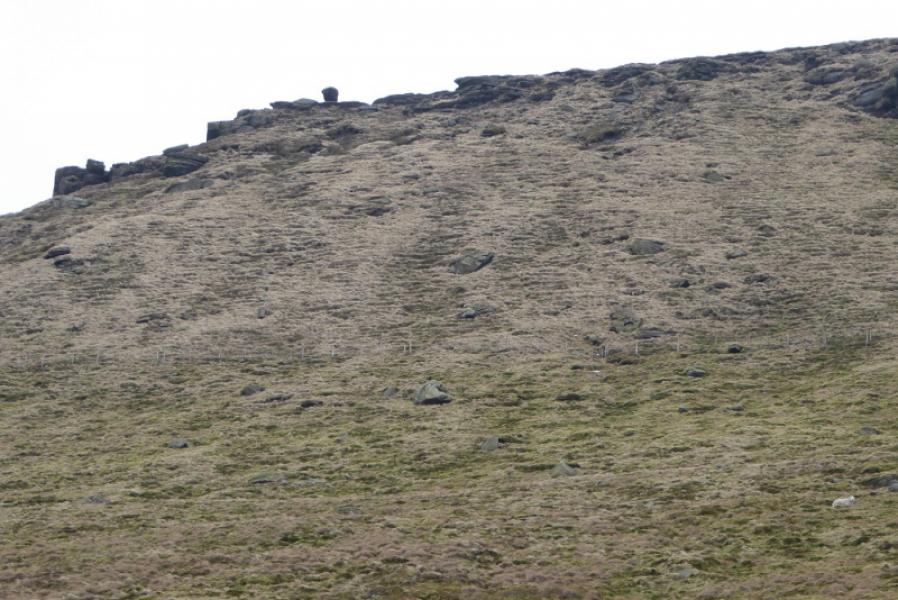
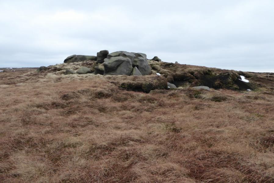
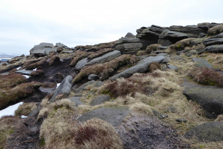
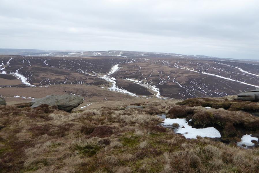
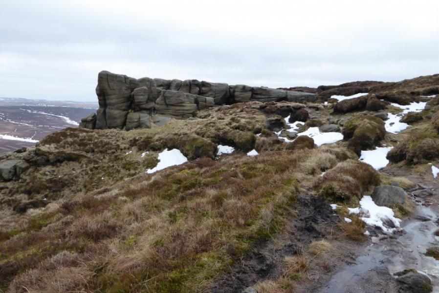
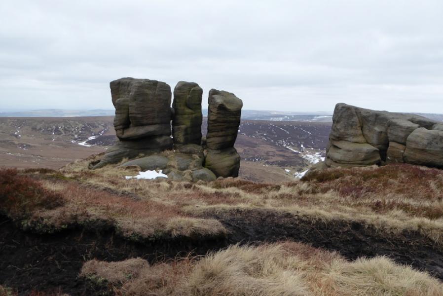
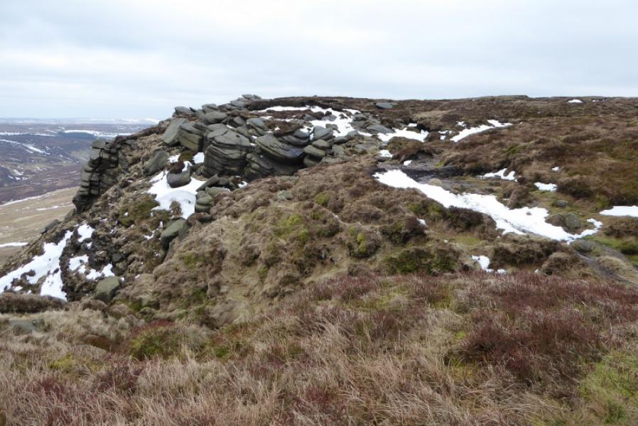
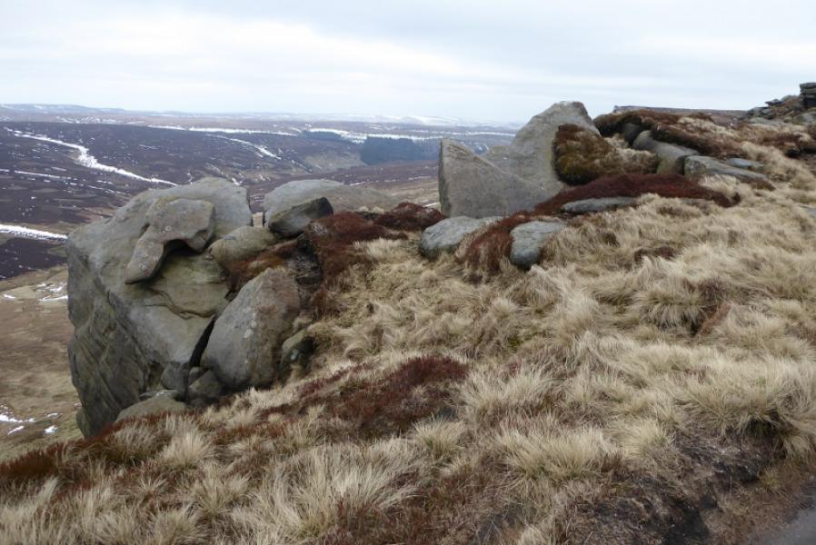
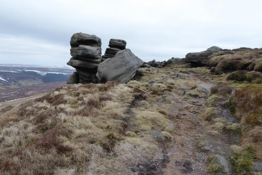
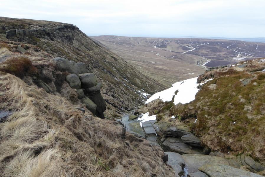
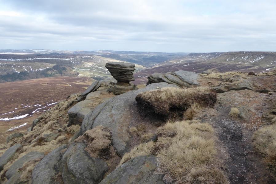
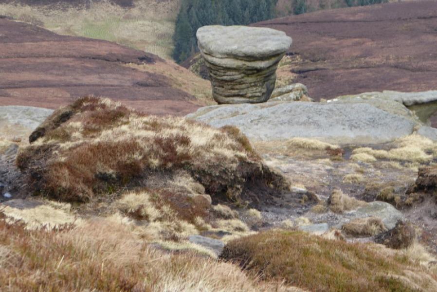
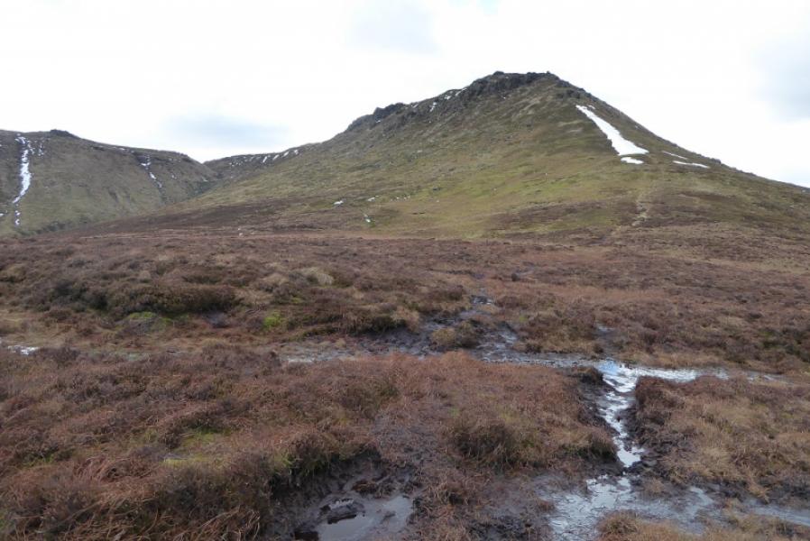
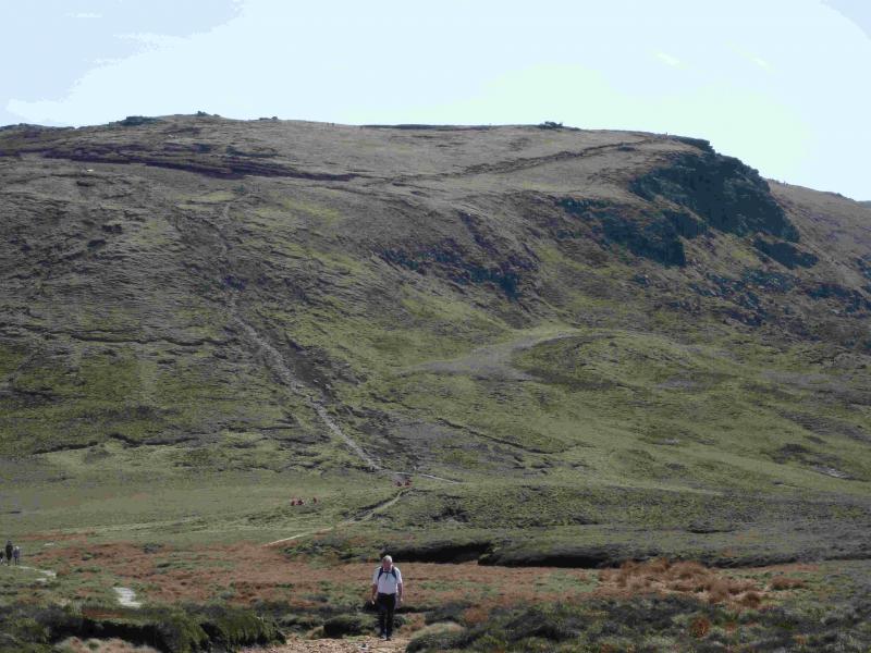
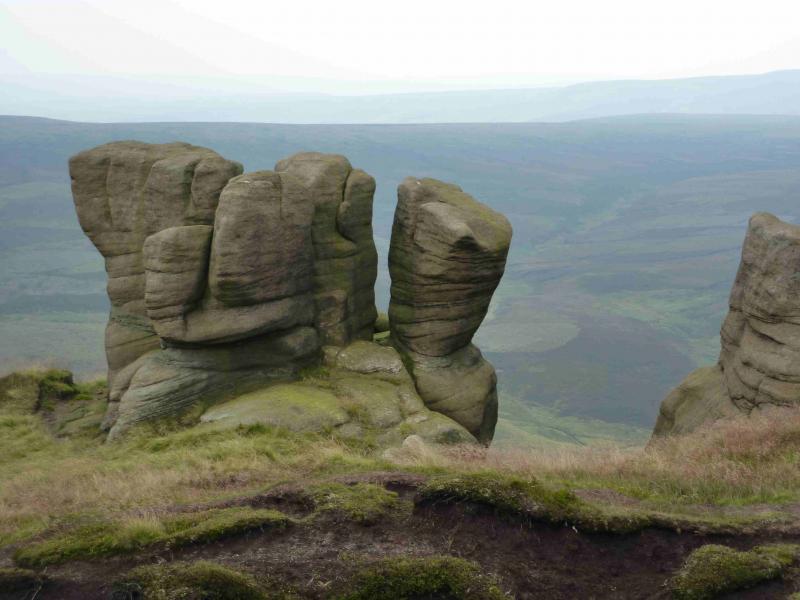
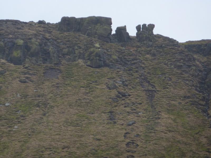
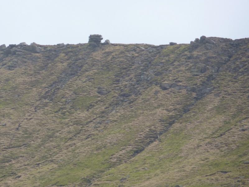
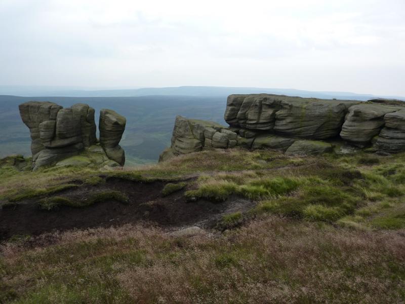
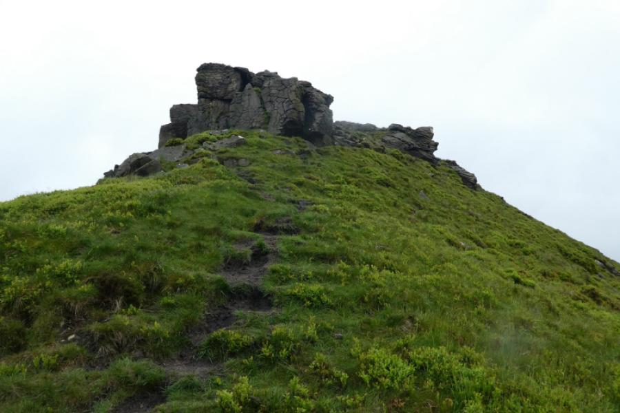
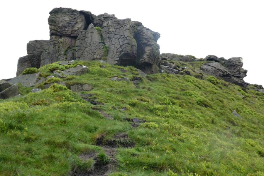
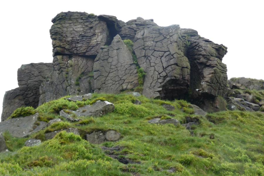
(2) Follow this path which heads along the northern edge, gradually gaining height to reach the top of the steep slopes dropping to the N. There is a broader path a but higher up but the two paths meet further on anyway. Continue along the northern edge, passing several outcrops. The most well known of these is known as the Boxing Gloves. Continue along the edge crossing the top of Nether Red Brook then continue to reach Fairbrook Naze where a prominent small rock with a small base and a wider top should be fairly obvious.Follow the path as it weaves its way down and avoids all rocky difficulties. Once the last of the rocks is passed, reach a stile and continue down. When the path becomes more level, follow it across the open moor. It can be boggy in places as it crosses grass and heather. Eventually it meets a grassy track which leads, fairly steeply, down to the foot of Fair Brook to rejoin the outward route back over the bridge.
Notes
(a) This walk took place on 22nd March, 2018.
Photos - Hover over photo for caption. Click on to enlarge. Click on again to reduce.