Get Lost Mountaineering
You are here: England » Peak District » Kinder, Mam Tor ridge, Rushup Edge, Brown Knoll & Win Hill from Edale
Edale Station to Chinley via Jacob's Ladder, Kinder Low, Edale Cross, Brown Knoll & South Head
Edale Station to Chinley via Jacob's Ladder, Kinder Low, Edale Cross, Brown Knoll & South Head
Start/Finish
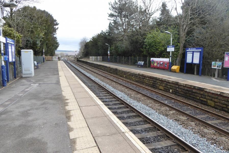
Chinley to get the train to Edale. The station car park soon fills up but there is plenty of street parking close by. Trains are about every 2 hours so plan ahead. The train journey takes about 10 minutes and costs about £4 single.
Distance/Time
15 km. About 5 – 6 hours.
Peaks
Kinder Low, 633 m, SK 079 870.
Brown Knoll, 569 m, SK 083 851.
South Head, 494 m, SK 061 845. OS Outdoor Leisure 1: Dark Peak
Introduction
This is a straightforward but strenuous walk which makes use of the train to get from Chinley to Edale. The Pennine Way is followed to the top of Jacob's Ladder and on to Kinder Low before descending to Edale Cross then taking the slabbed path below Brown Knoll, which is ascended by a short detour, before continuing to ascend South Head before descending to the main road via farm tracks, which can be very boggy at times, then a path and track back to Chinley. The Pennine Way can also be slippery and muddy at times between Edale and Upper Booth.
Route
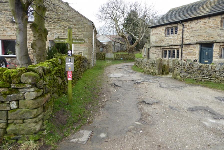
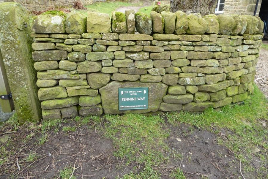
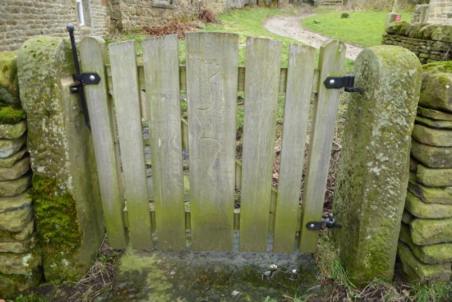
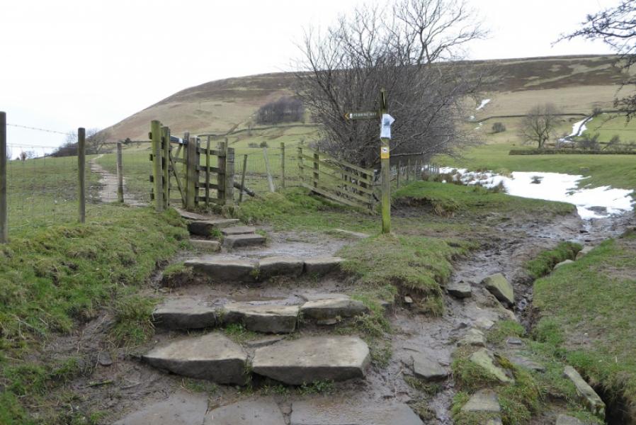
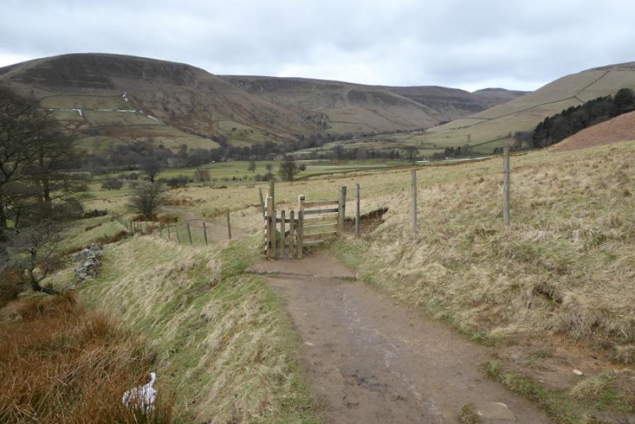
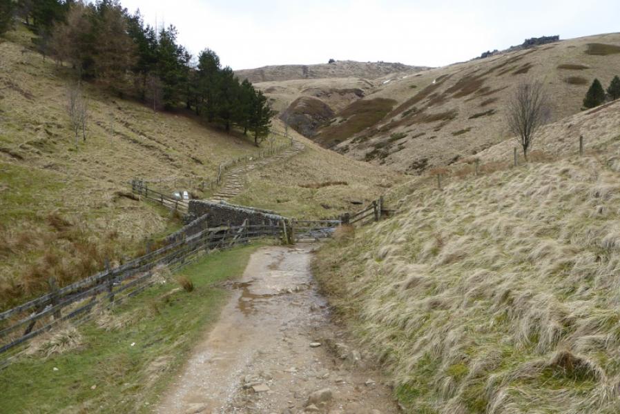
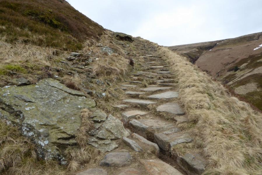
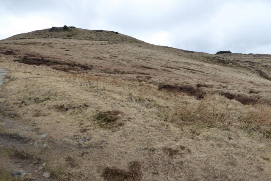
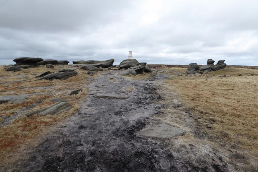
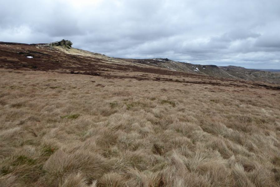
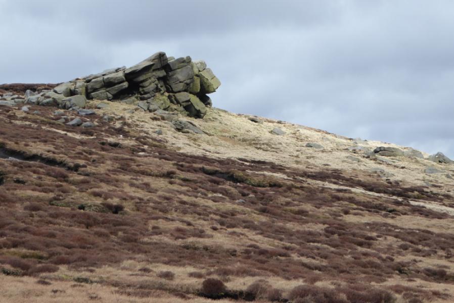
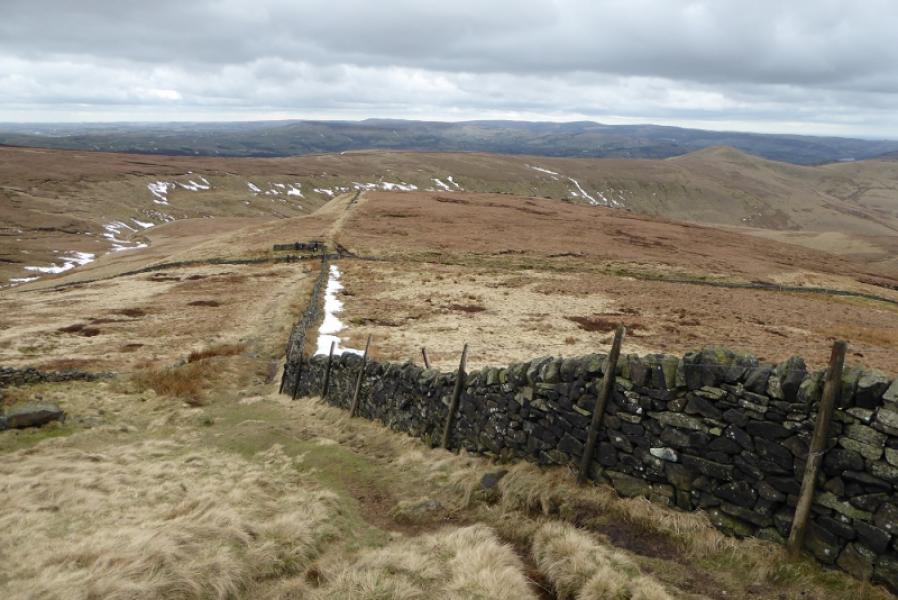
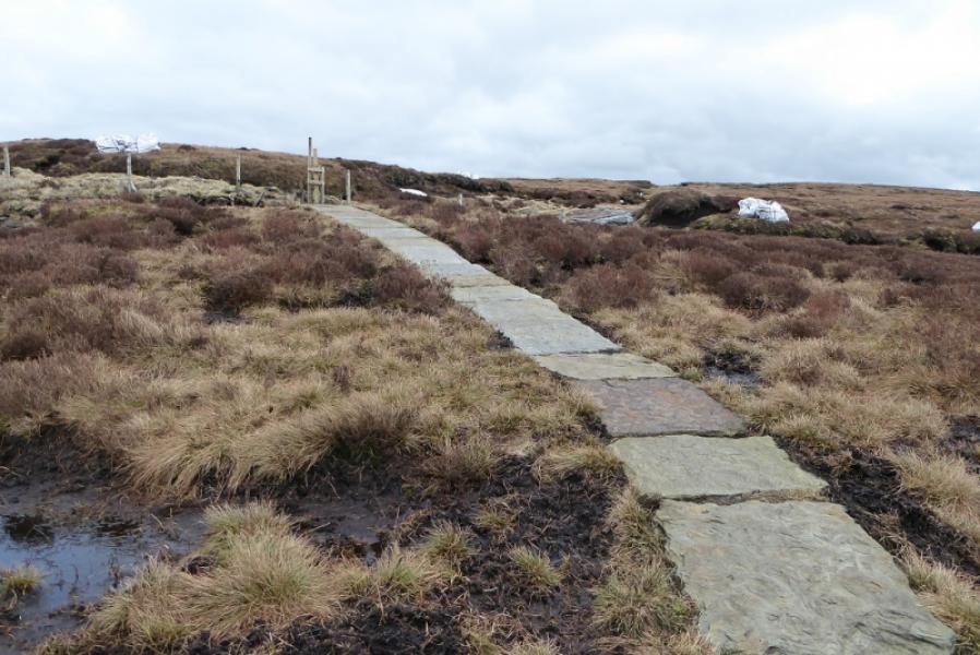
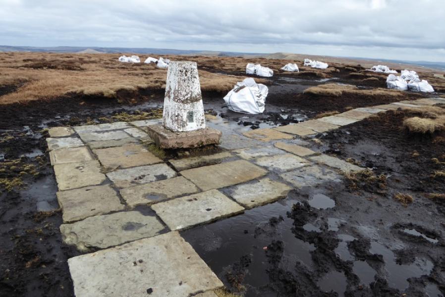
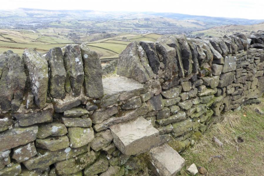
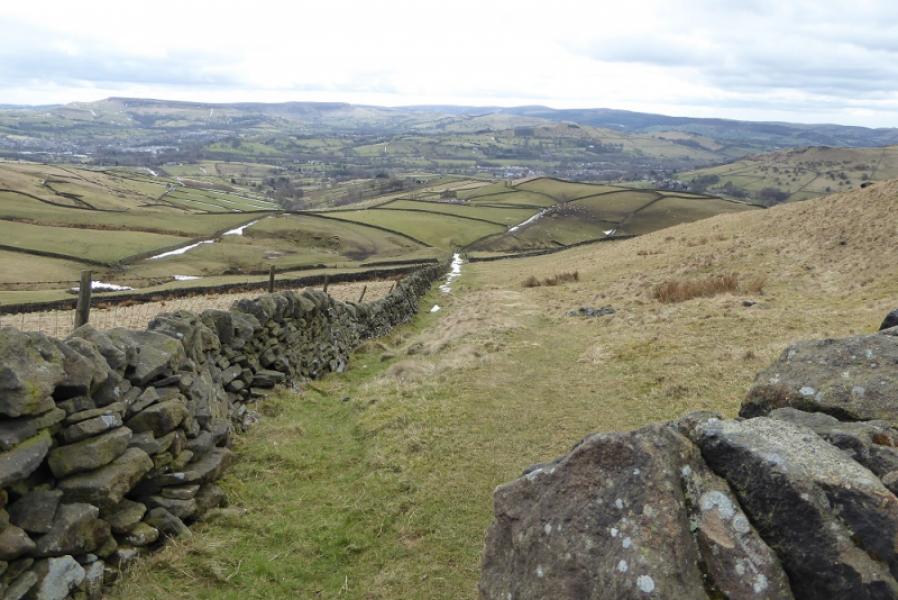
(1) Walk out of Edale Station to the road then turn left and follow the road up to Edale Village passing the church on the way. The Pennine Way starts just after Coopers which is opposite the small primary school and before the Nag's Head. Follow the Pennine Way which is well signed apart from one post where one goes straight on not fork right. Continue and eventually reach the farm at Upper Booth. Turn left onto the track through the farm to reach the road. Turn right and follow the road to Lee House which becomes a rough track after a gate. Continue to reach the old pack horse bridge at the foot of Jacob's Ladder. The new Jacob's Ladder path is well signed; the old path is off left just over the bridge. Both meet higher up and both are steepish in places. Continue up to where the path splits with a slabbed path forking right. Take the right path and follow this to the right of Swine's Back and Edale Rocks before reaching the trig point which is Kinder Low, 633 m.
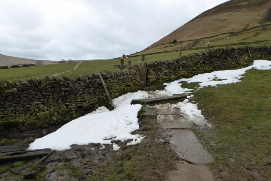
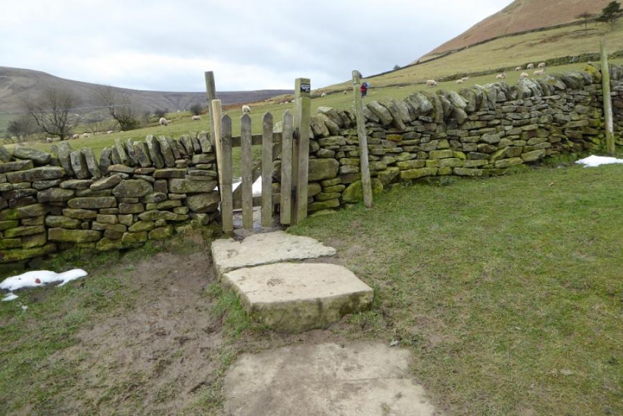
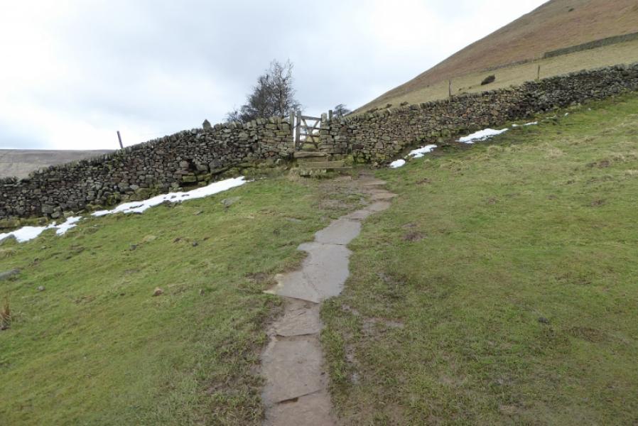
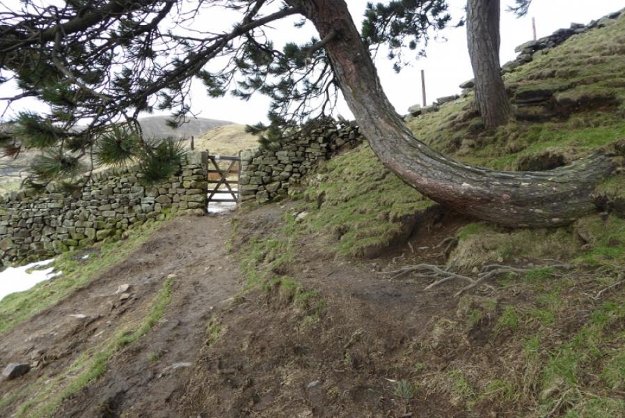
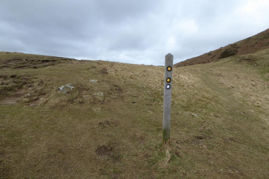
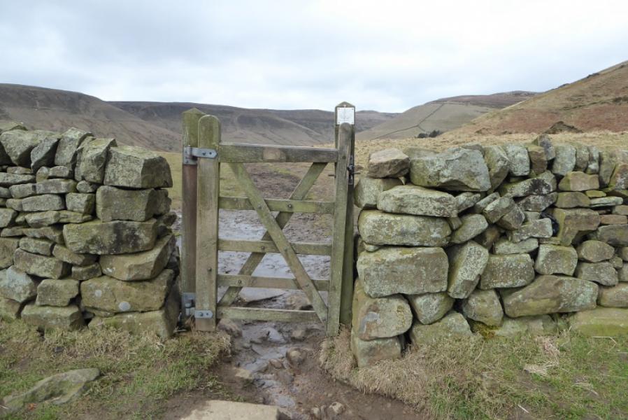
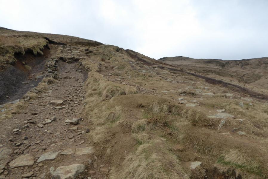
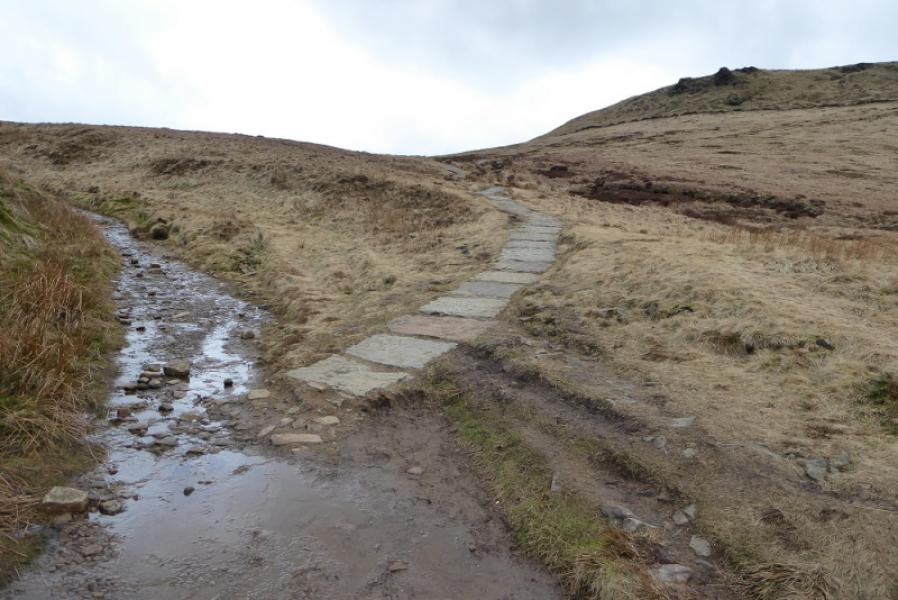
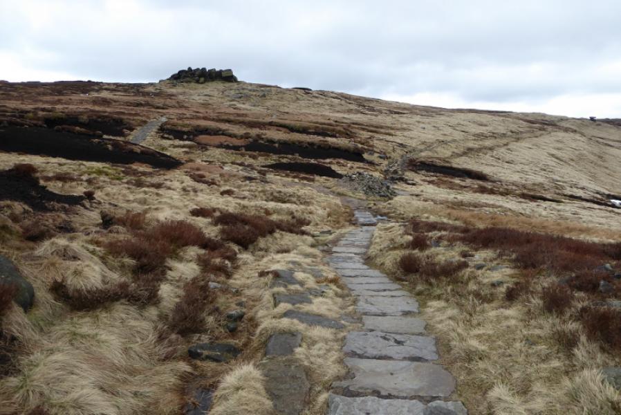
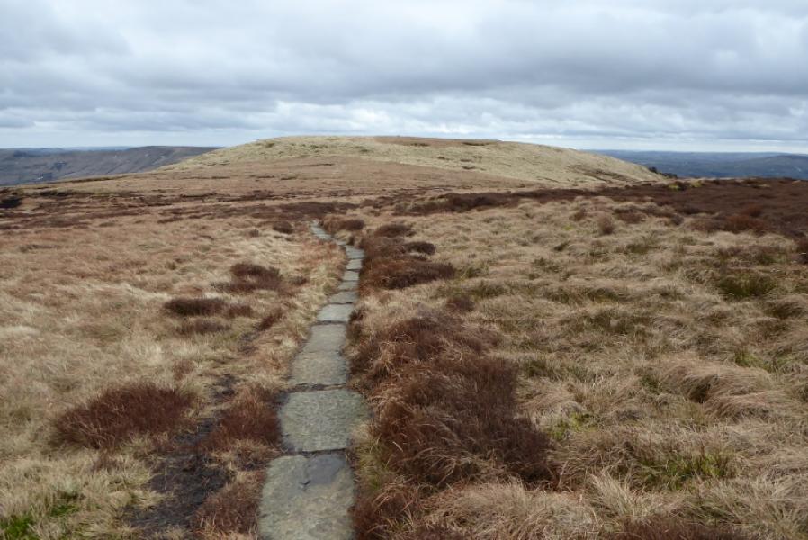
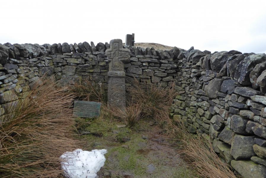
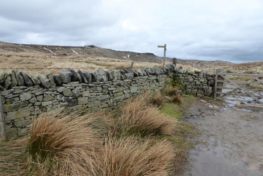
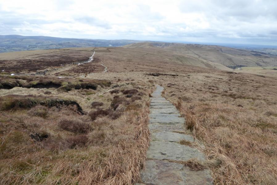
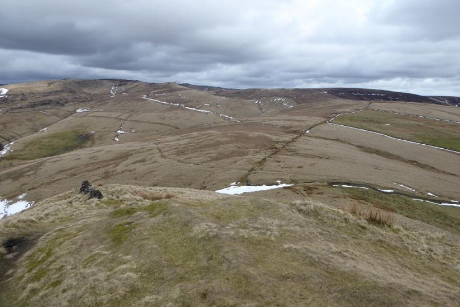
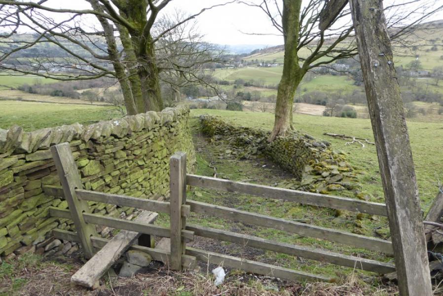
(2) Go roughly W from the trig point and pass to the left of the very large cairn before following a path and some small cairns. The path soon becomes slabbed and heads towards Kinderlow End but leave it when another slabbed path goes off left and heads for the W side of Swine's Back. The slabs run out just before an outcrop so continue on a path and follow the wall down to the track connecting Hayfield to Edale. Edale Cross is behind the wall on the right when the track is joined. Follow the track going left, towards Edale, until a gate is reached with a sign for the old Pennine Way. Go right here and follow the slabbed path. Follow this for some distance, below Brown Knoll, to its highest point. Soon after, a slabbed path goes off left to a stile. Take this path and soon reach the trig point which is the summit of Brown Knoll, 569 m.
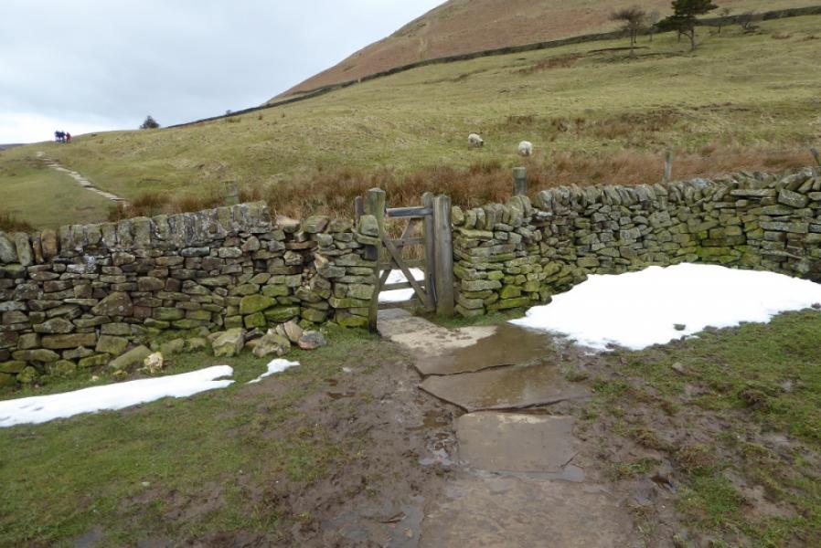
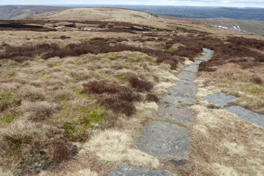
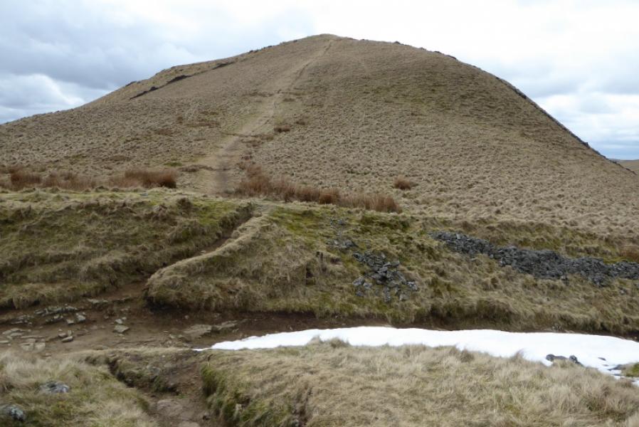
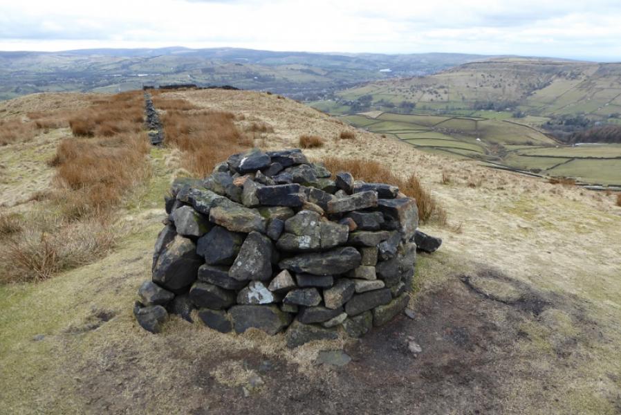
(3) Return to main path and continue towards South Head. The slabs run out at a stile. After this, the path is still obvious but can be very boggy in places with detours to the right quite frequent. In clear weather, South Head will be obvious but the path eventually reaches a good track just below South Head. Cross the track and take the obvious steep path up South Head. Reach a round cairn made up of pieces of old wall which is the summit of South Head, 494 m.
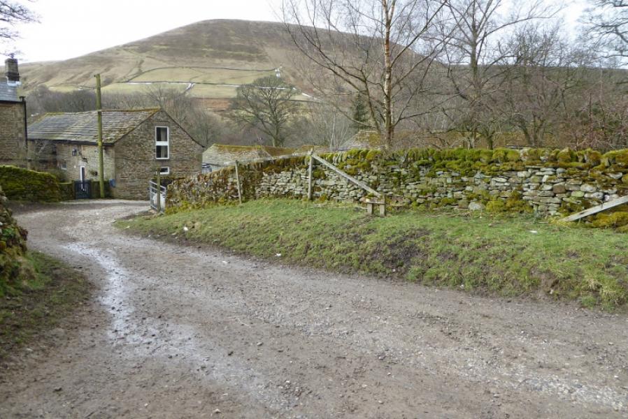
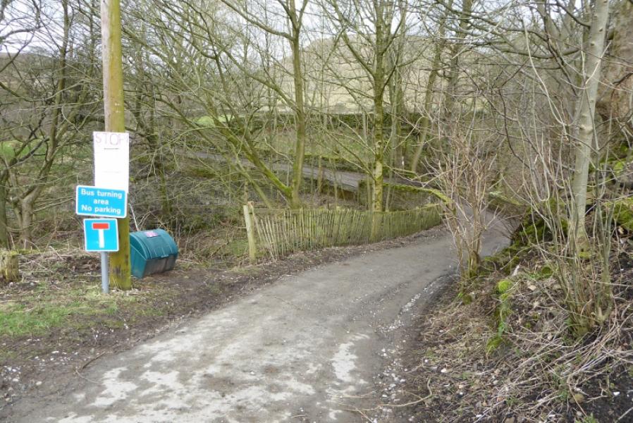
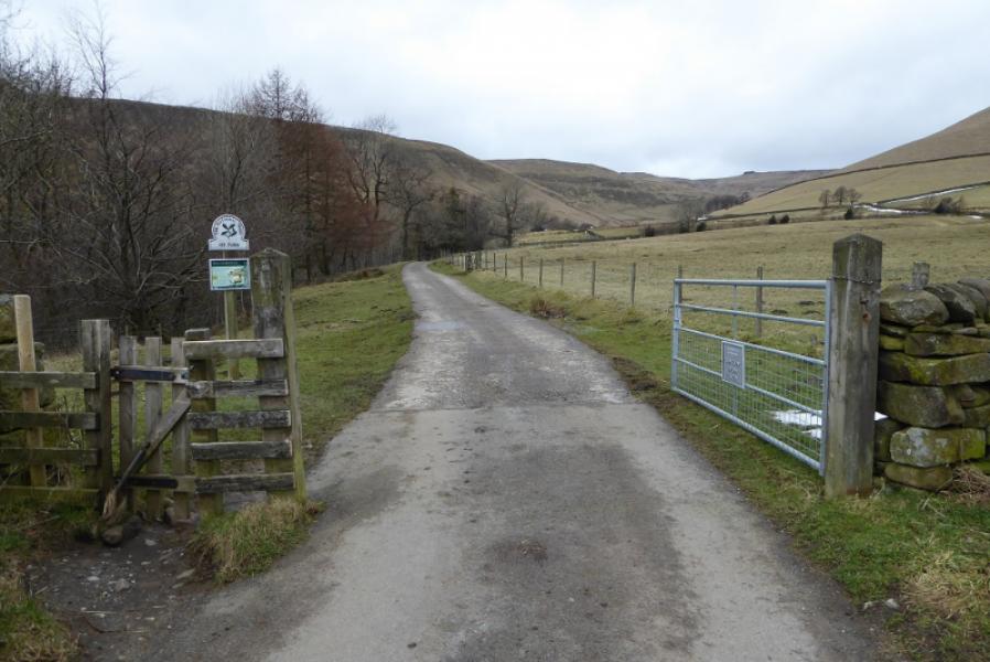
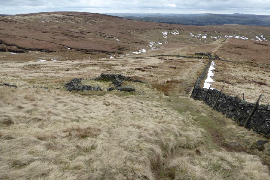
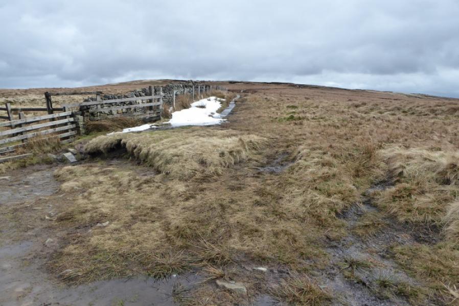
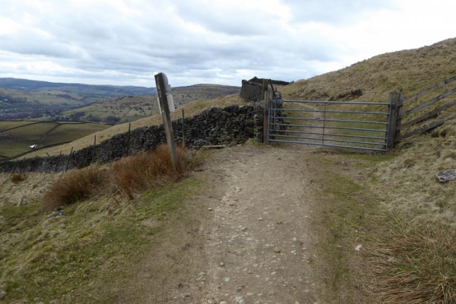
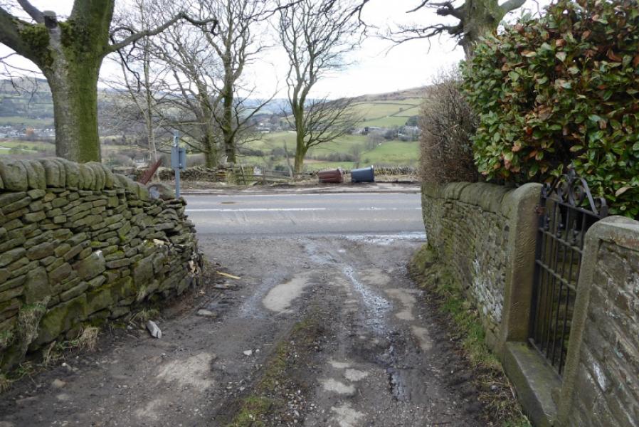
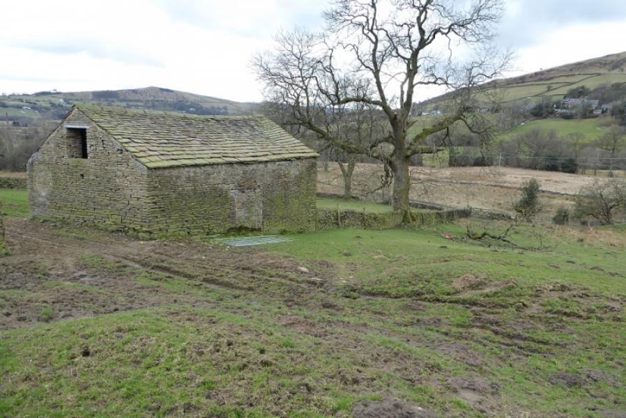
(4) Continue over South Head, taking the path slanting right and descend to the track recently crossed. Follow this to a metal gate. Immediately after, there is a stone stile on the left so cross this and descend down by the wall to reach a grassy track which leads to a stile and stony track which can be very boggy at times. Follow this track to a sort of crossroads then continue ahead. Do not go left as height will be lost which has to be regained and the ground can be quite unpleasant. The ahead track may look bad but it is short lived and soon becomes a decent grassy track between 2 walls which soon becomes a track then a minor road which heads S before turning right onto the main road by a house. Cross the road and follow a grassy path down past an old barn after which the path swings left, SSW then S to reach Alderling where a track starts which leads back to the road. Turn right and soon reach the centre of Chinley.
Notes
(a) This walk took place on 23rd March, 2018.
Photos - Hover over photo for caption. Click on to enlarge. Click on again to reduce.