Get Lost Mountaineering
You are here: Scotland » 17 Islands » Western Isles » South Uist
Beinn Mhor from Waterworks to West
Beinn Mhor from Waterworks to West
Start/Finish
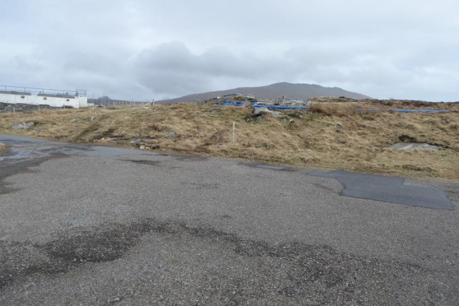
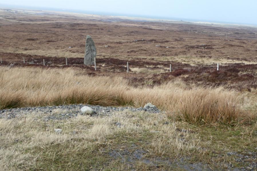
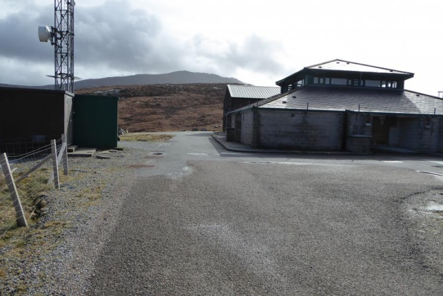
Waterworks at NF 771 321. These are up a tarmac road which leaves the A865, the main road on South Uist about 9 miles north of Lochboisdale. There is a large waterworks sign at the start of the tarmac track. There seems to be no objection to driving to the entrance of the waterworks where there is a sizeable car park with a large standing stone just below.
Distance/Time
11 km. About 5 hours.
Peaks
Beinn Mhor, 620 m, NF 808 310. OS sheet 22: Benbecula & South Uist.
Introduction
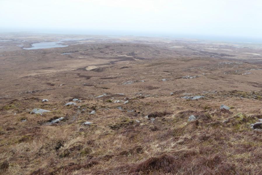
Beinn Mhor is the highest peak on South Uist and the only Graham on the island. On a clear day, it is obviously an excellent viewpoint. This route is, marginally, the shortest to the summit but does cross rough, wet and pathless moorland. In strong winds, the crest, not normally a problem, may not be pleasant.
Route
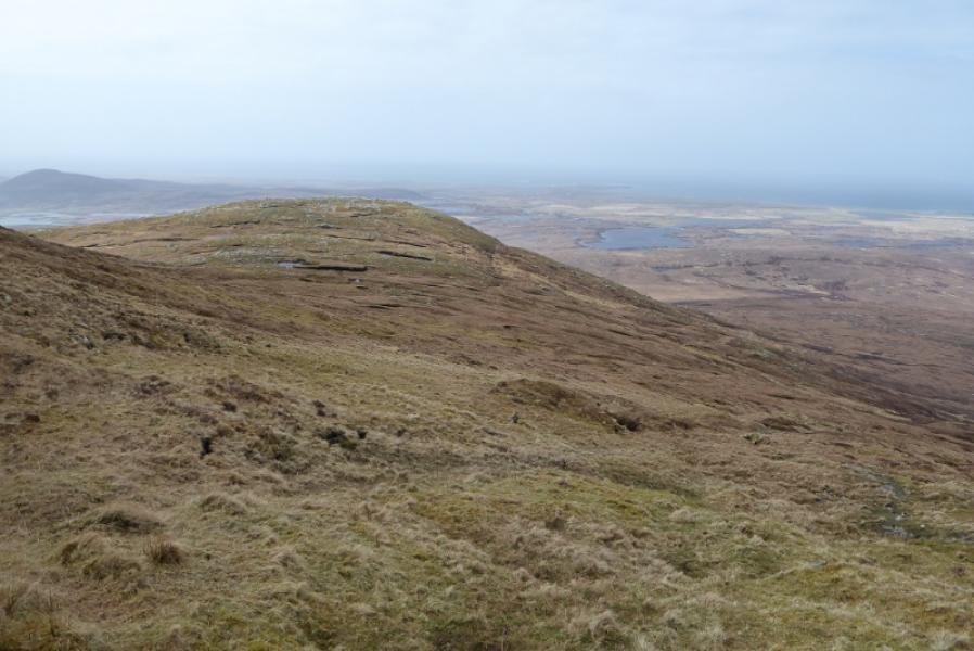
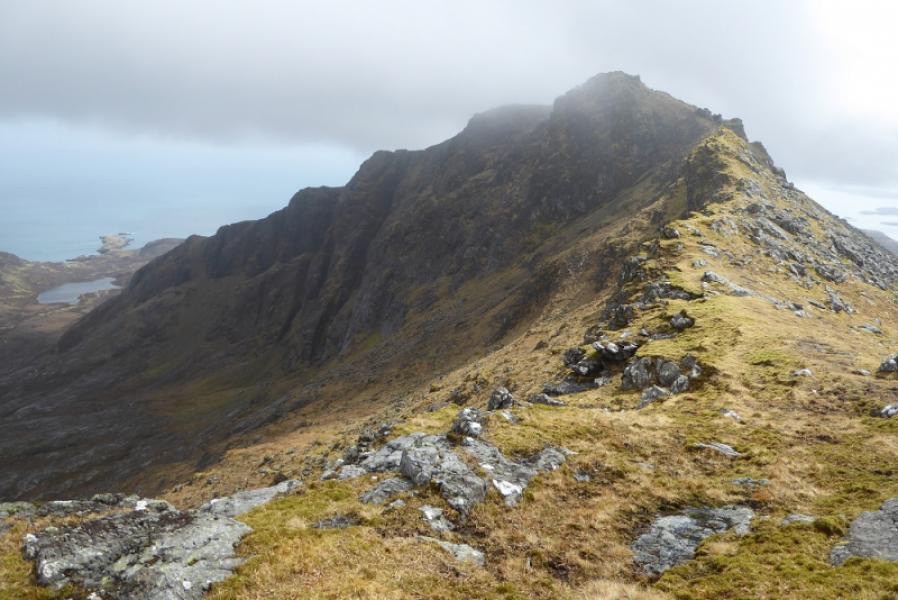
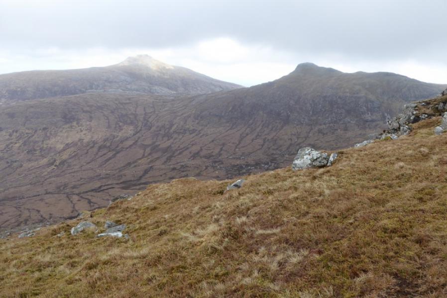
(1) Climb over the stile by the car park and walk by the fence until a line of old iron fence posts can be followed which ascend then descend over the NW flank of Beinn Charra. Leave these after some descending and cross the stream in Glac Auscar then start picking a way up Coire Dubh. There is no path. Traverse Spin low on its N flank and head almost due E up steepening slopes aiming for the N ridge of Beinn Mhor The natural route would be up the “ridge” between Spin and Beinn Mhor but there are boulder fields so keep to the N below this ridge and it will be grass all the way. Once on the crest, turn S and follow a path, not that obvious in places, which weaves around some of the outcrops and pinnacles. In dry, calm and clear conditions, most will stay on the crest as much as possible. The main path appears to by pass the summit so, in mist, be aware of this. The summit is roughly above where the path passes a small rock wall on the left with a few boulders higher up. If you stay with the path it soon goes left to reach a grassy flattish area. Double back here and ascend a gentle grassy slope (little sign of a path) to the large walled cairn with a wide stone trig point inside it. This is the summit of Beinn Mhor, 620 m. On a very windy day, this might be the only shelter from the wind!
(2) Retrace back along the crest.. An “arrow” made of stones may have been noticed. One can go left here and descend (no path). It is mainly grass but does go through some easy boulder fields. Lower down either go over Spin or by pass as in ascent, traverses Beinn Charra to its N side until the line of old iron fence posts is reached which lead back to the start. Alternatively, ignore the “arrow” and retrace the route of ascent leaving the crest further to the N.
Notes
(a) This walk took place on 17th April, 2018.
(b) Beinn Mhor was previously climbed, over 10 years earlier from the road end at Loch Aineort to the south. No details or photos from that time but it seemed an easier ascent.
Photos - Hover over photo for caption. Click on to enlarge. Click on again to reduce.