Get Lost Mountaineering
You are here: Scotland » 17 Islands » Western Isles » South Uist
Beinn Mhor from Loch Aineort
Beinn Mhor from Loch Aineort
Start/Finish
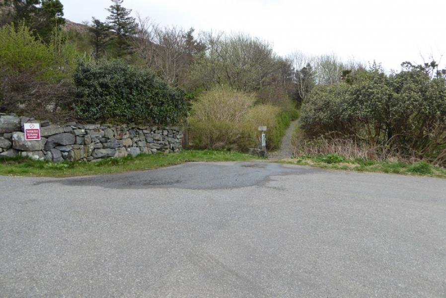
Loch Aineort road end at NF 787 275. Follow A865 from Lochboisdale towards Benbecula. About 9 miles from Lochboisdale, turn right at a crossroads for about 3 miles to the road end taking the left fork after about 1 mile. Parking needs to be considerate as the end of the road is also a turning circle.
Peaks
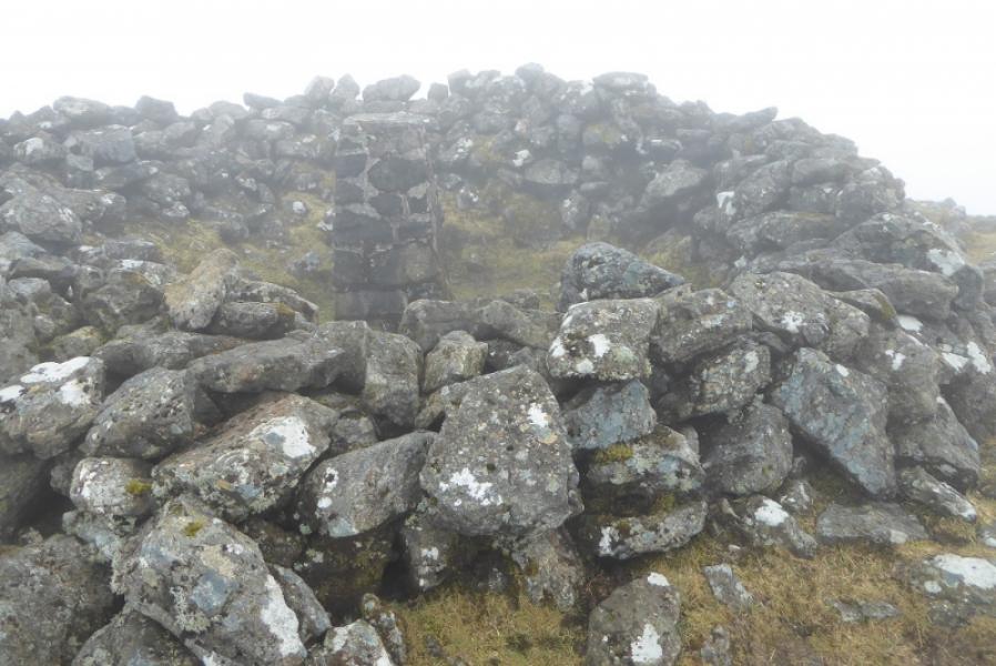
Beinn Mhor, 620 m, NF 808 310. OS sheet 22: Benbecula & South Uist.
Introduction
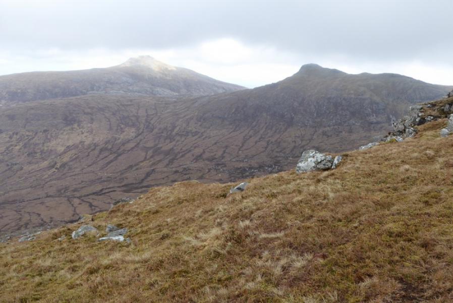
Beinn Mhor is the highest peak on South Uist and the only Graham on the island. On a clear day, it is obviously an excellent viewpoint. This is an easier route to the summit than from the waterworks as there is no rocky ridge from the south. However, it is slightly longer although there are better paths.
Route
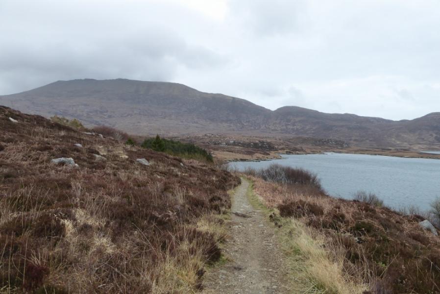
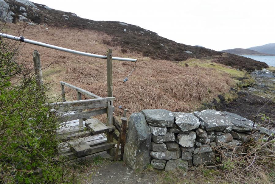
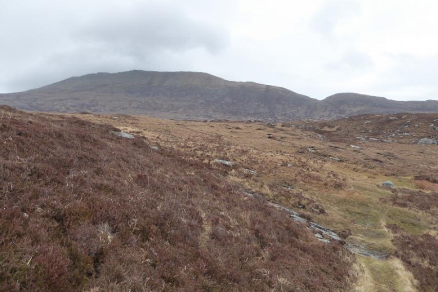
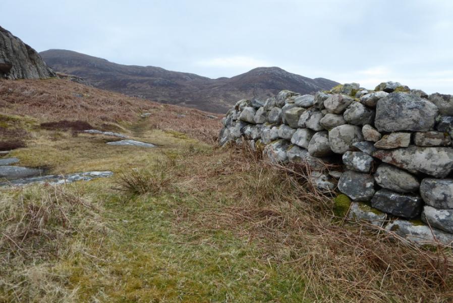
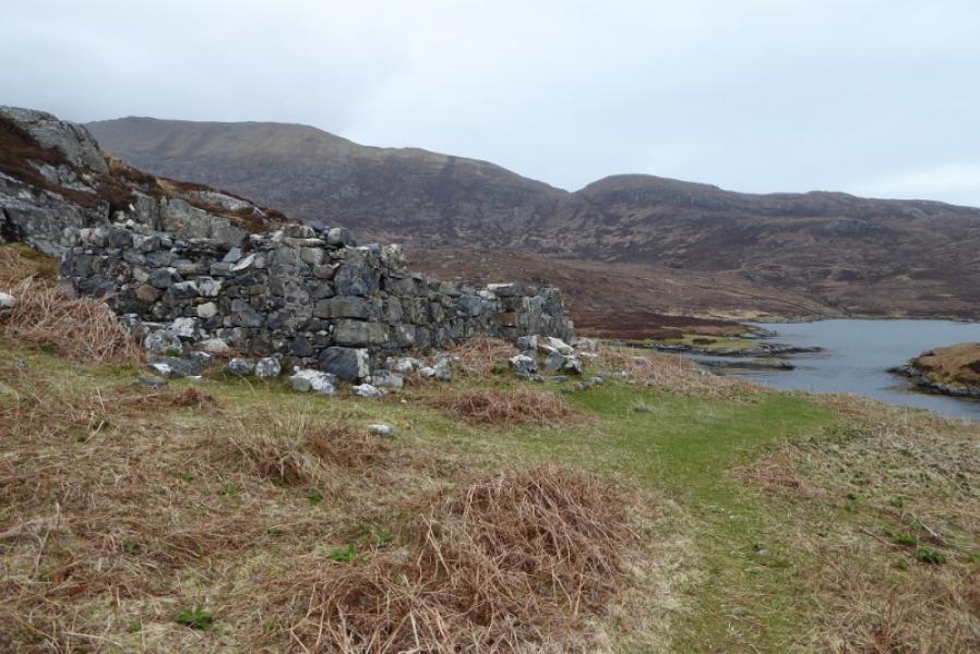
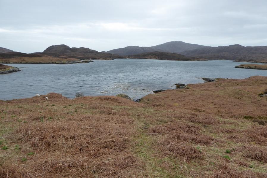
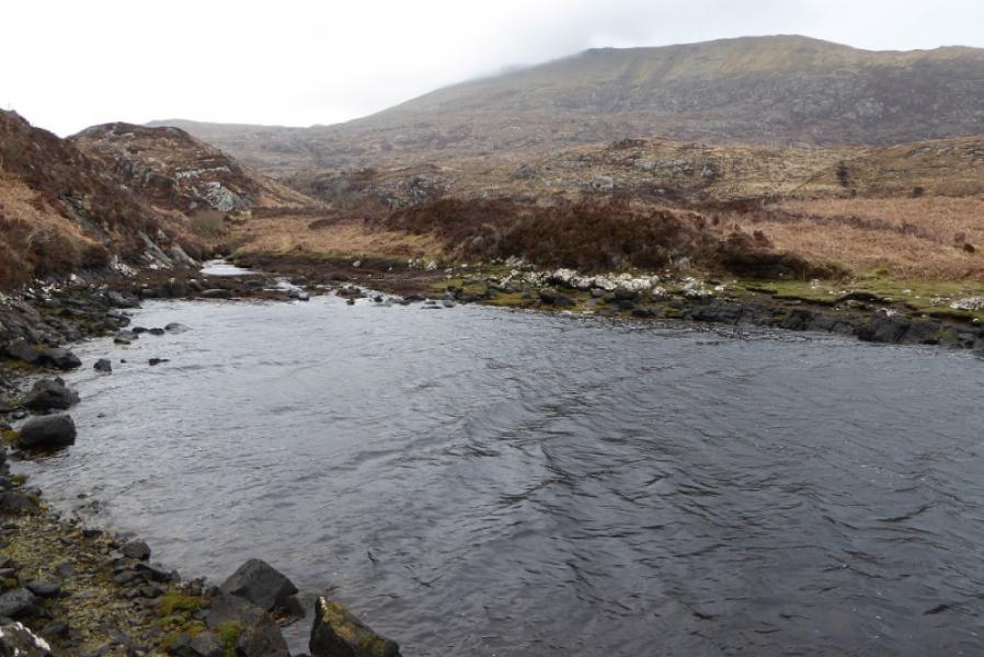
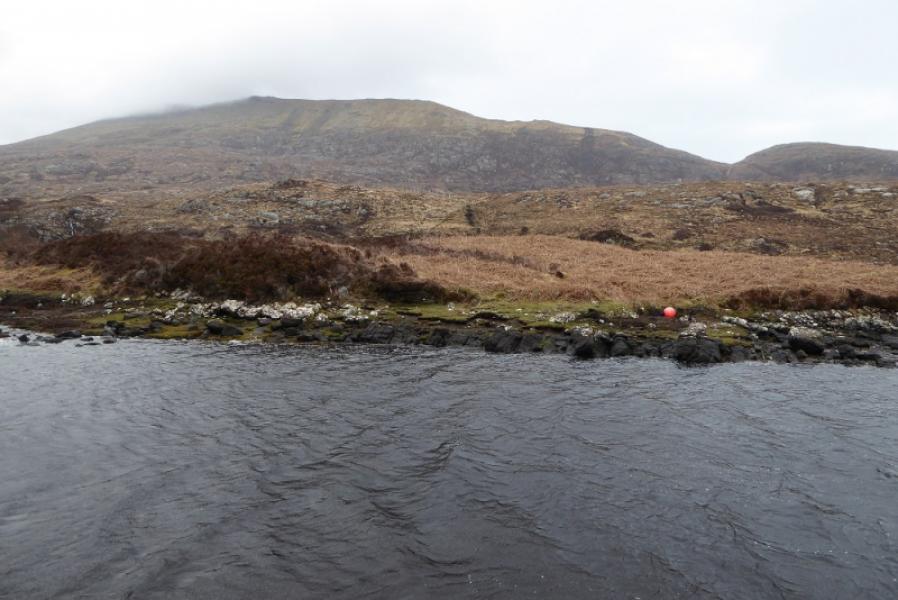
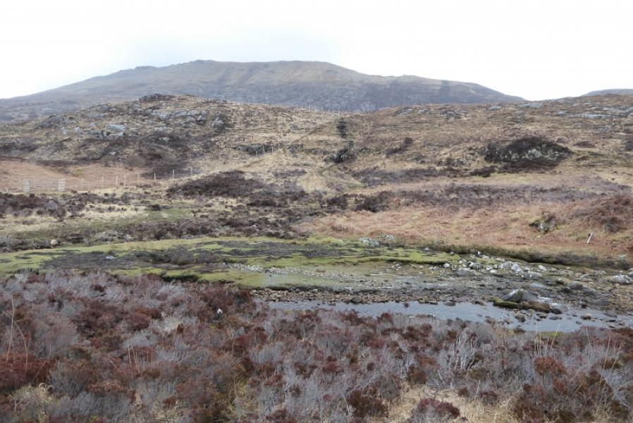
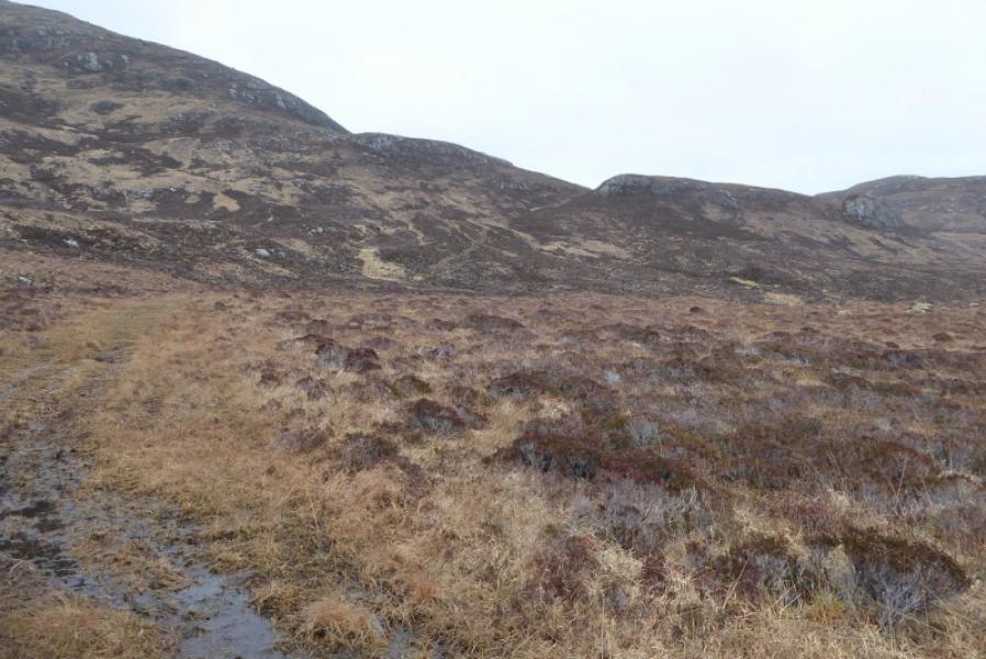
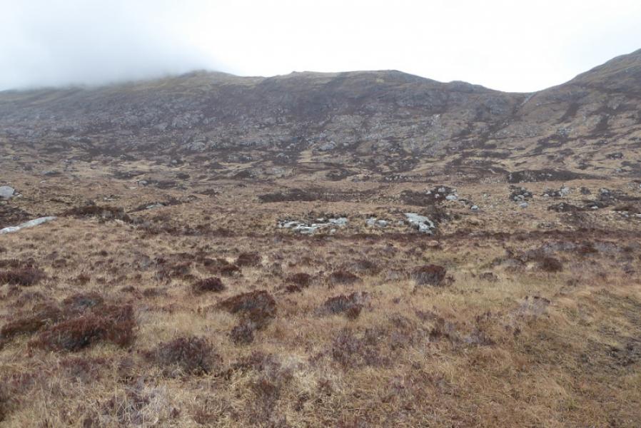
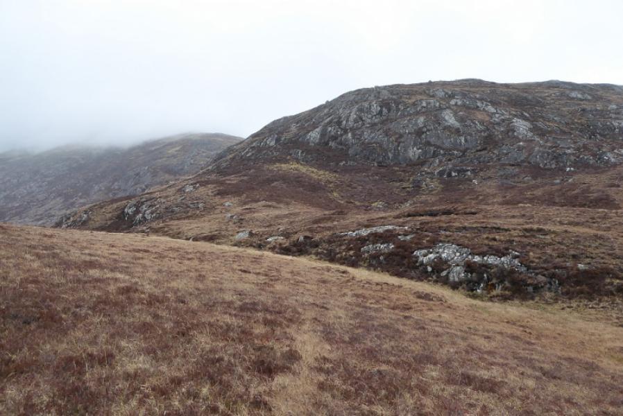
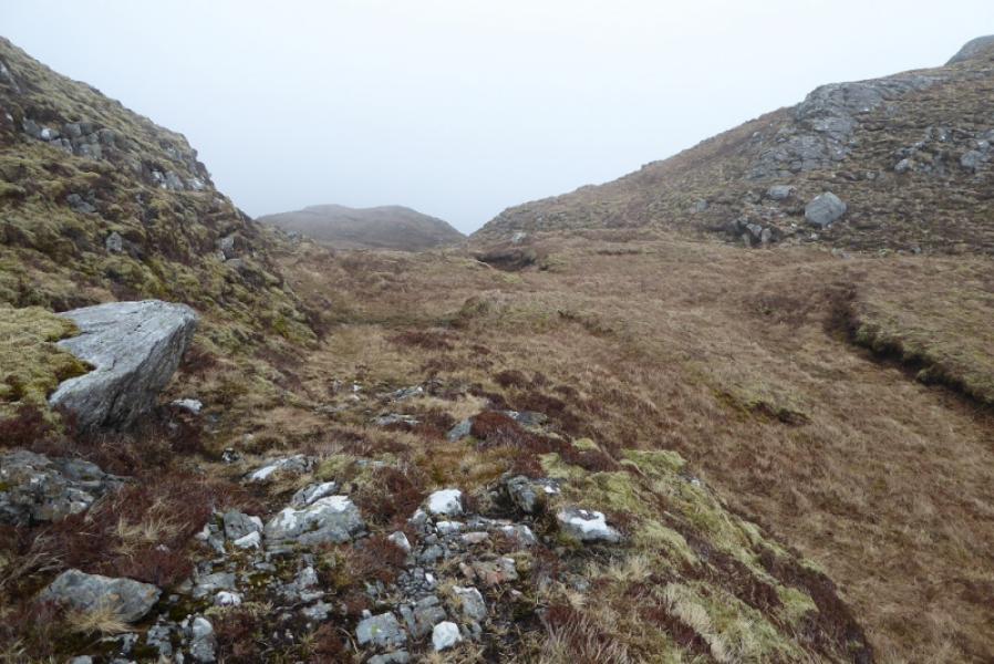
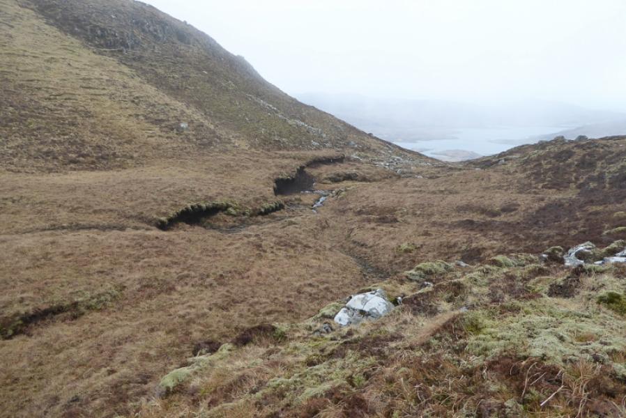
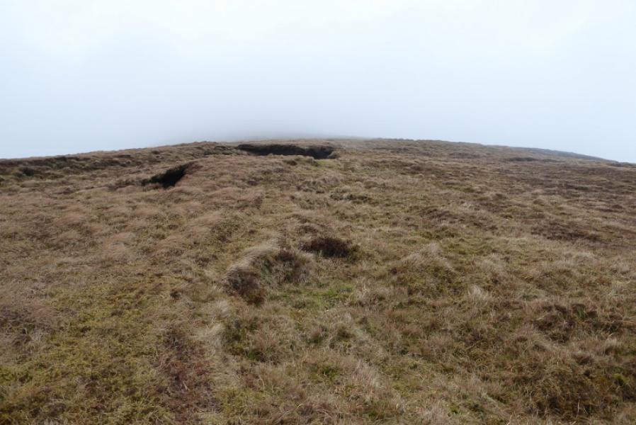
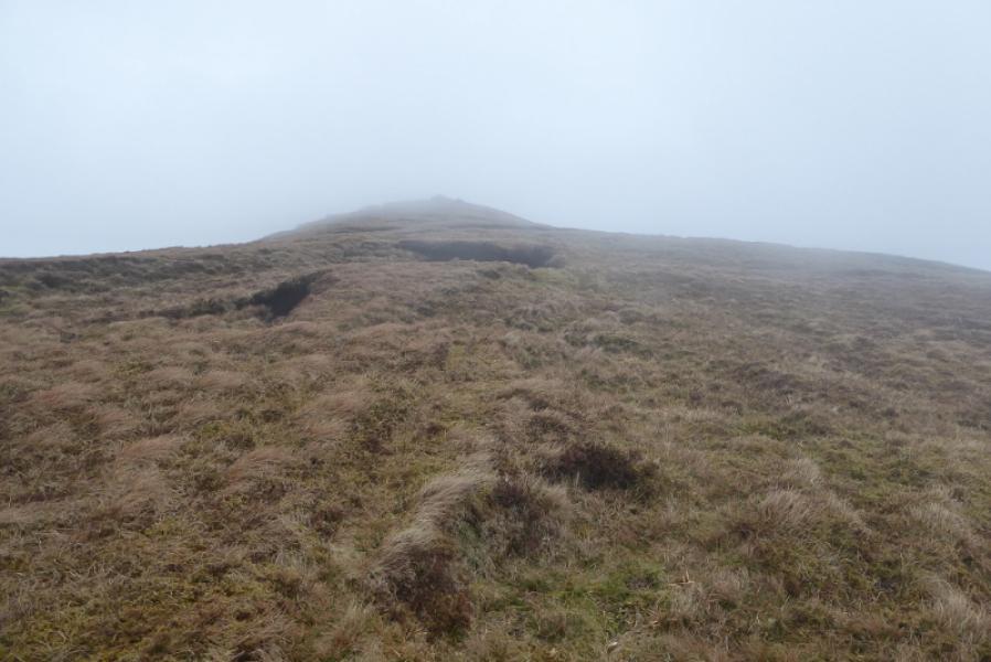
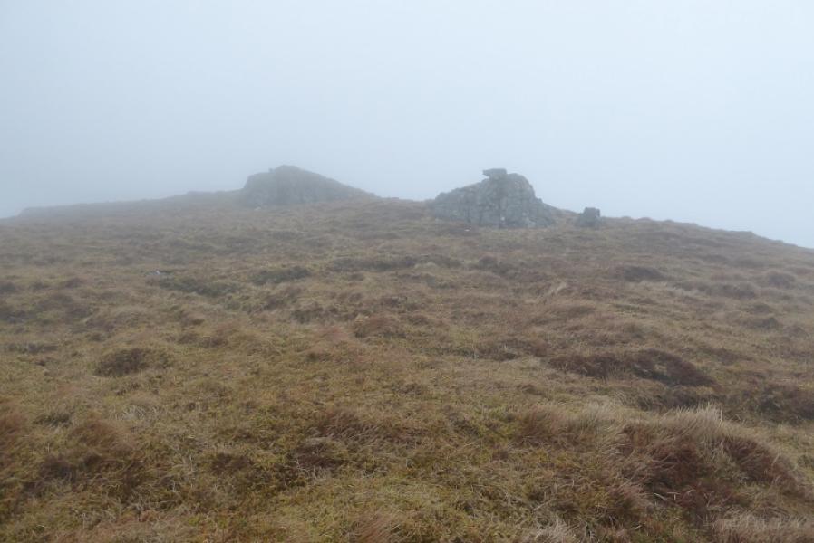
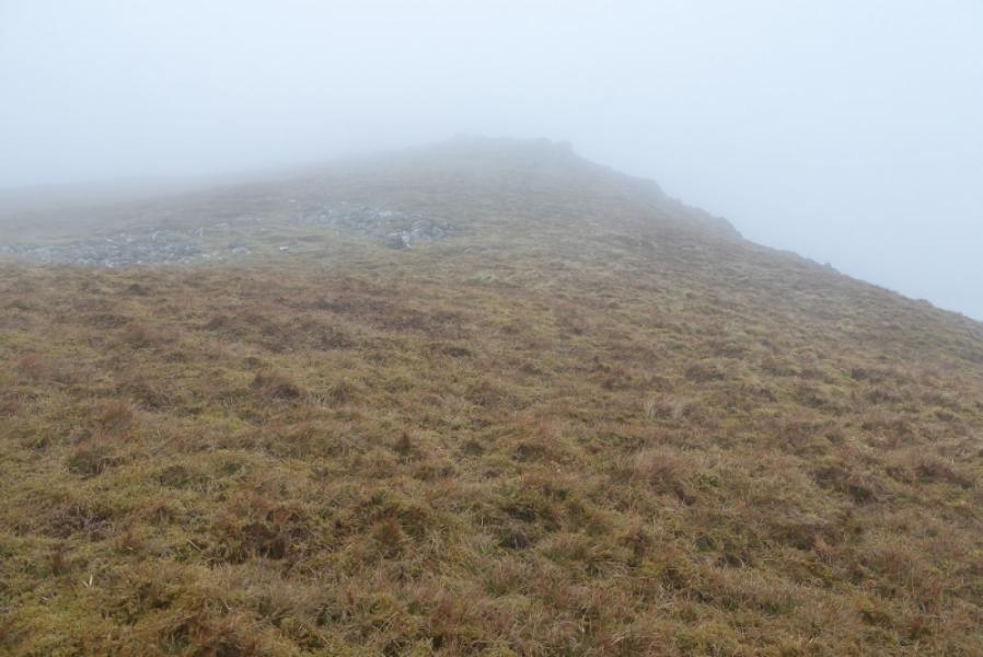
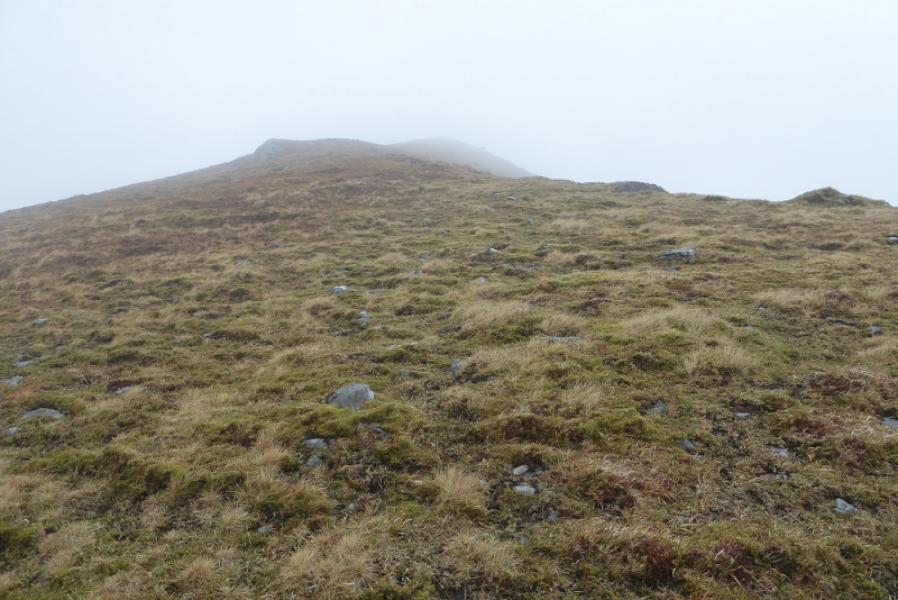
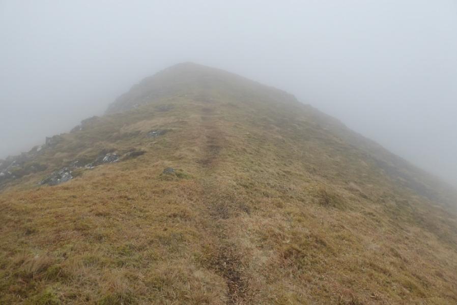
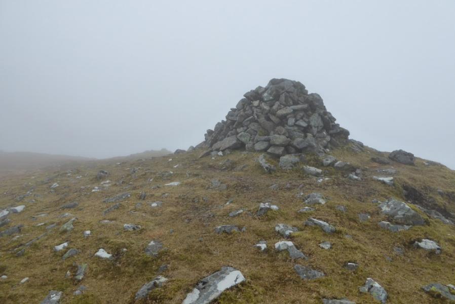
(1) Take the obvious footpath which is a continuation of the road. It is a very good path and leads to a stile and small bridge over a small inlet. Croos over and follow the less good path around to the right. Pass a small round sheepfold (on the right) then a ruin (on the left) before reaching the edge of the inlet. The path goes up the side of the inlet and is rough and boggy in places. Cross the head of the inlet. Be careful of standing on kelp/sea weed as there could be water underneath! Ascend the bank beyond. There seems to be a wet path following the fence although that soon goes left so continue ahead on flattish moorland. If you aim for Bealach Crossgard either by line of sight or map setting then you will eventually meet a wet ATV track. This can be followed but it soon drifts away from the direction of the bealach and slants right towards the minor peak of Beinn na Tobha. The easiest route is to follow the track up until it levels off then traverse back across the W flank of Beinn Caorach. The path is faint in places but does lead into the Bealach Crossgard. Alternatively, leave the track lower down and pick a way up to the bealach. Yet another alternative is to ascend directly to the bealach but this is the steepest of the three options. Once in the long narrow, grassy bealach, walk towards its highest point but strike off left and up well before you reach a peat bank on the right. There is no obvious path from the bealach but one will be found higher up although it can be faint at times. The ascent is on moderately steep grass. Higher up, there are two outcrops with one resembling an anvil. There are some narrower grassy sections where the path is more obvious. Higher up, the ascent almost becomes level toreach a large cairn which can be considered as the S Top. Keep going, not far from the edge on the right and soon reach the trig point in a wall shelter cairn which is the summit of Beinn Mhor, 620 m.
(2) Retrace the outward route.
Notes
(a) This walk took place on 18th April, 2018.
(b) Beinn Mhor was previously climbed, over 10 years earlier by this route.
Photos - Hover over photo for caption. Click on to enlarge. Click on again to reduce.