Get Lost Mountaineering
You are here: Scotland » 17 Islands » Western Isles » South Uist
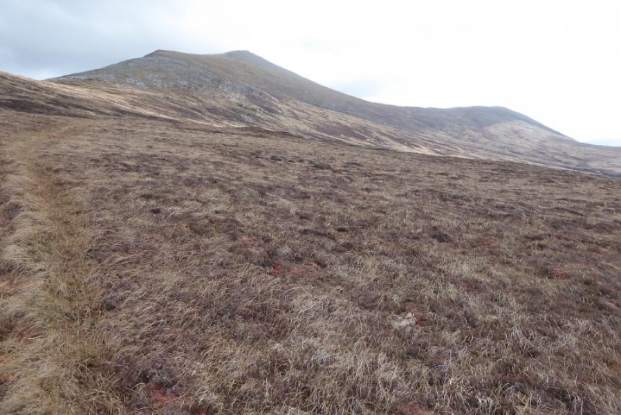
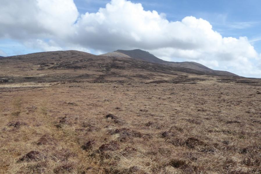
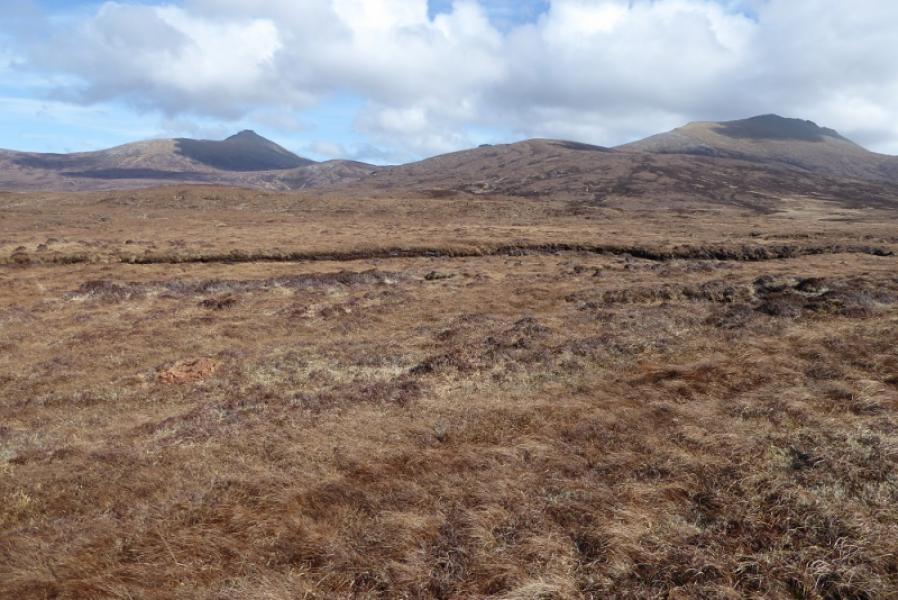
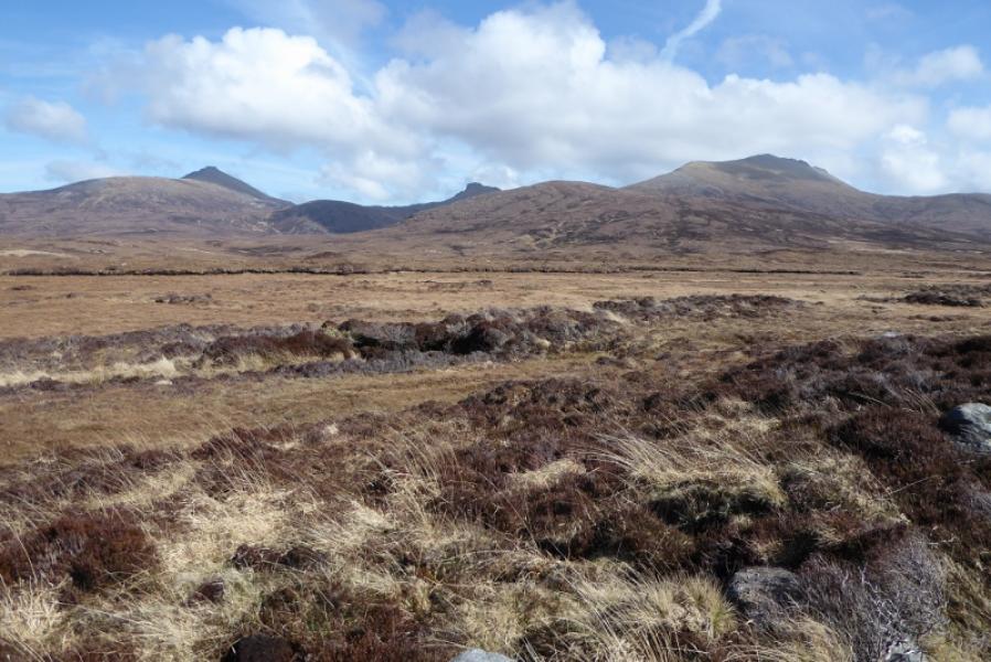
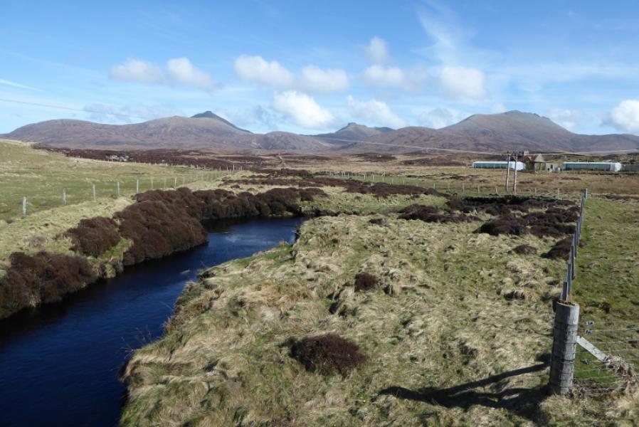
Beinn Mhor from Abhainn Rog Bridge
Beinn Mhor from Abhainn Rog Bridge
Start/Finish
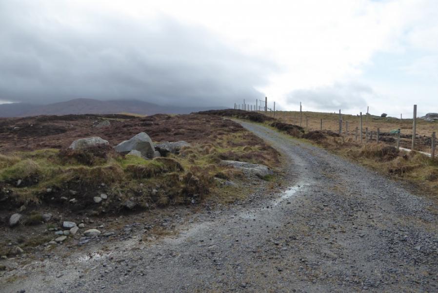
The start of the gravel track just to the south of the Abhainn Rog bridge at NF 768 347. this is on the A865 about 12 miles north of Lochboisdale. Parking is awkward on what is a fast and busy single track road. The verges are too bumpy to park on. The most sensible place to park is to go north for about 300 m then turn left down a minor road where one can soon park in an old lay by on the left opposite a house.
Distance/Time
13 km. About 6 hours.
Peaks
Beinn Mhor, 620 m, NF 808 310. OS sheet 22: Benbecula & South Uist.
Introduction
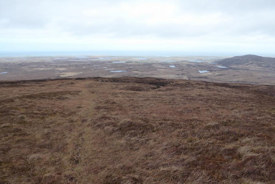
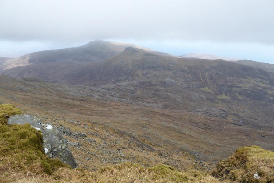
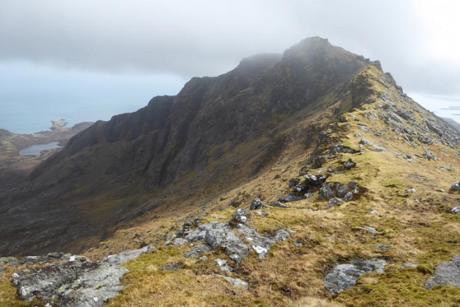
Beinn Mhor is the highest peak on South Uist and the only Graham on the island. On a clear day, it is obviously an excellent viewpoint. This is the longest route described up Beinn Mhor but is probably the easiest as there is a path virtually all the way although it can be very faint in places. In strong winds, the crest, not normally a problem, may be unpleasant.
Route
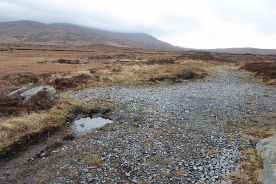
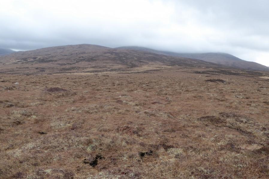
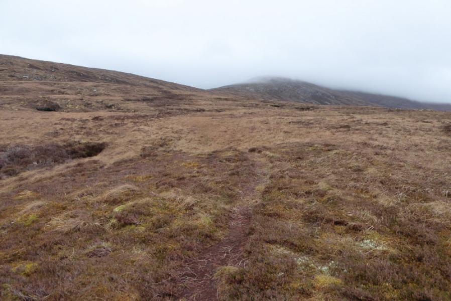
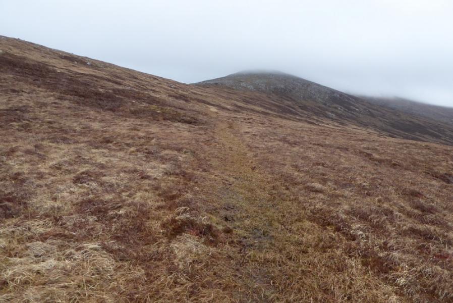
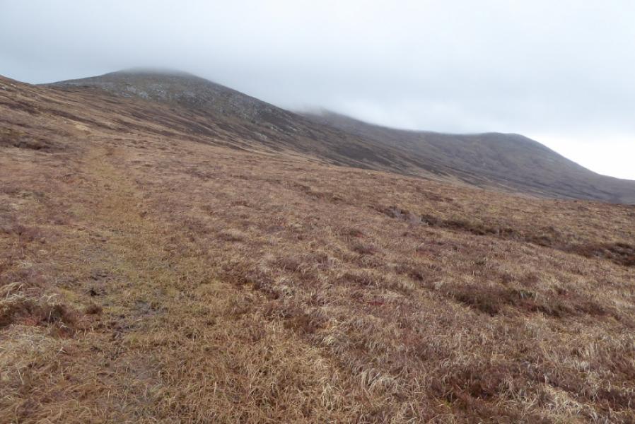
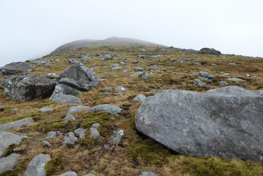
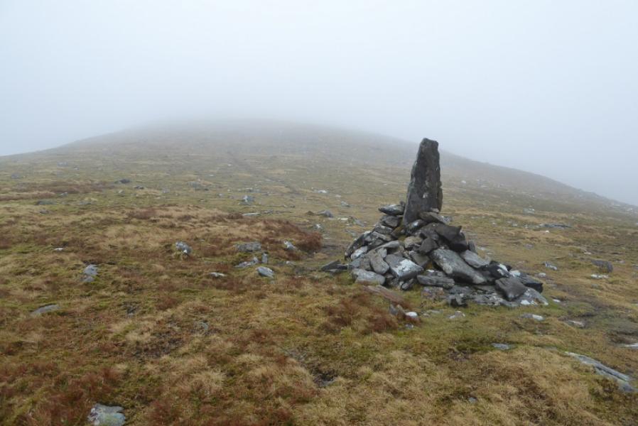
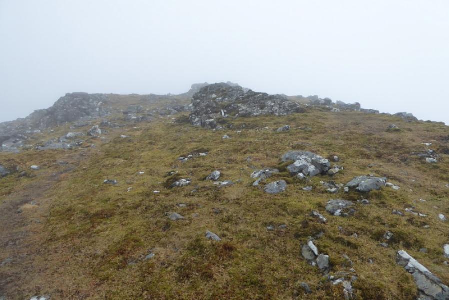
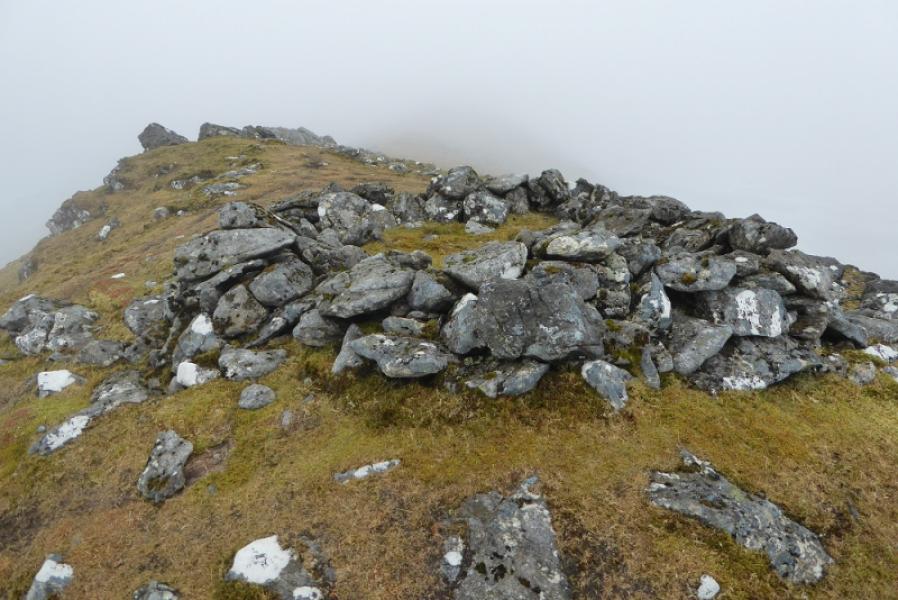
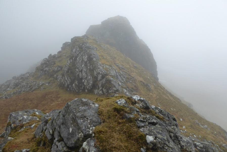
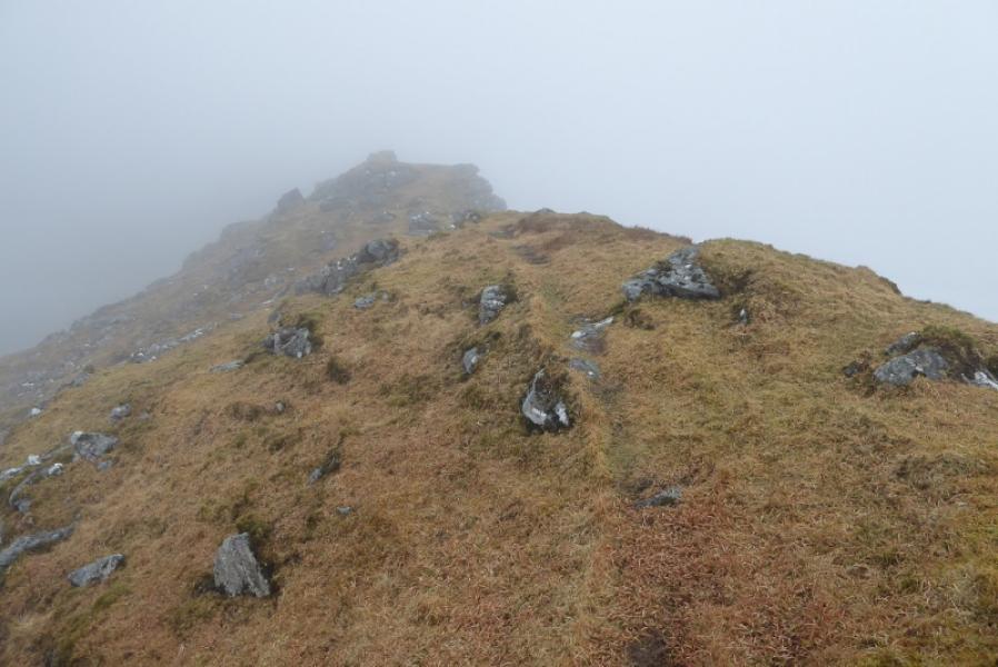
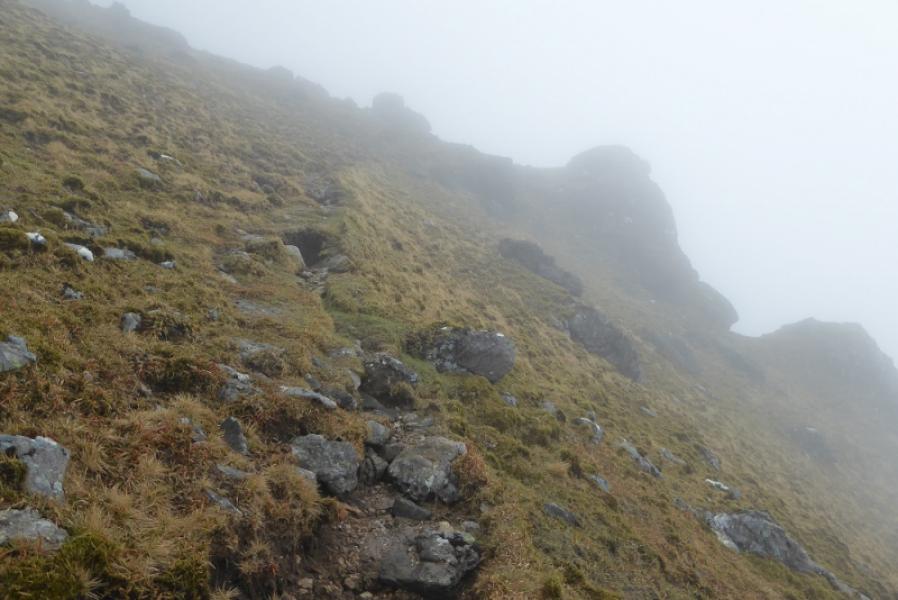
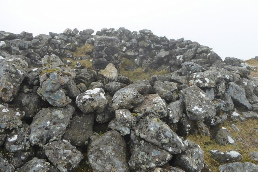
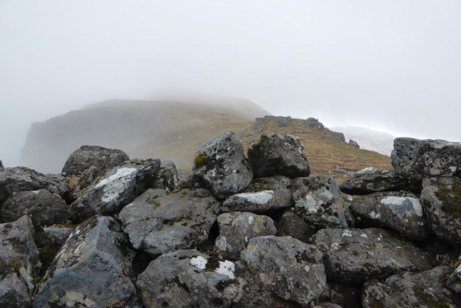
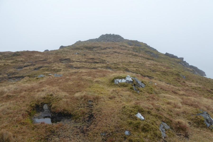
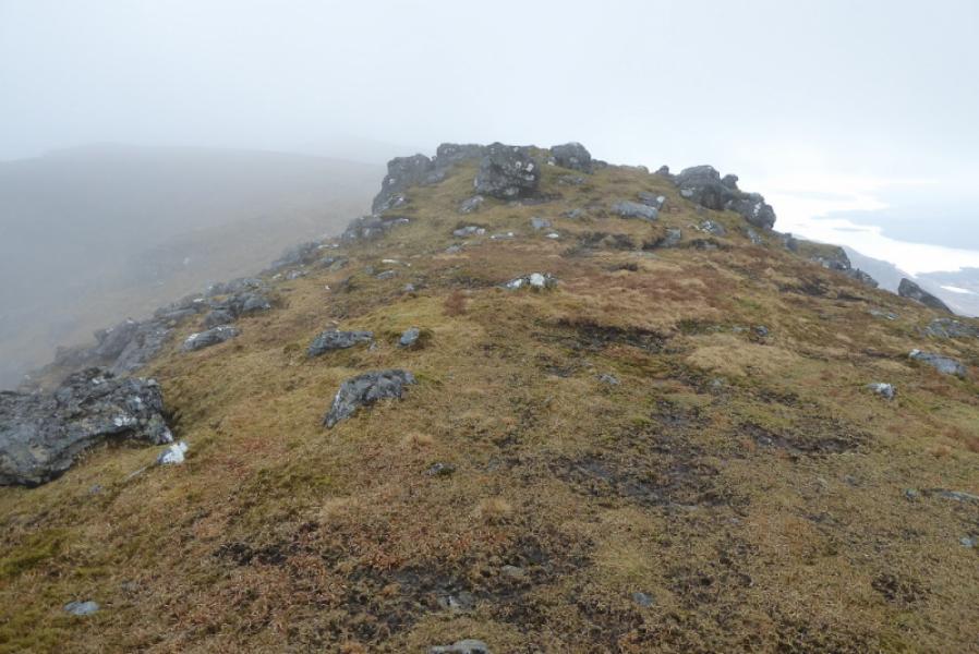
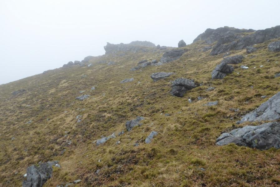
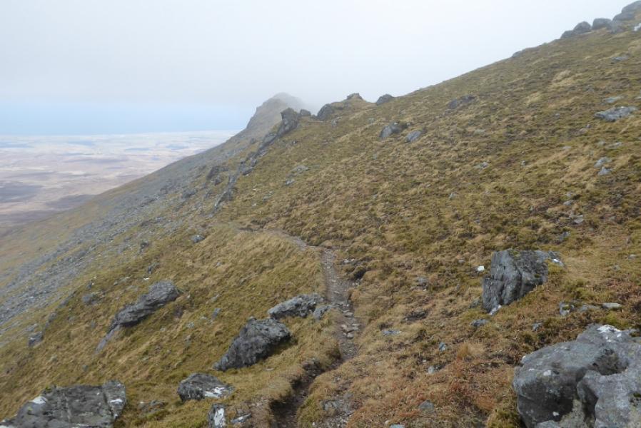
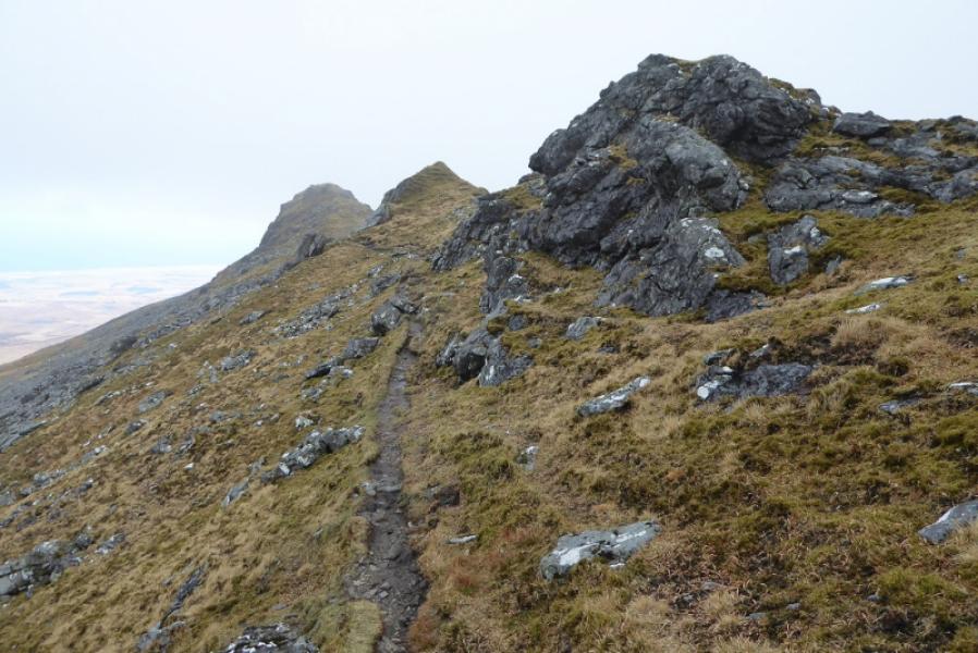
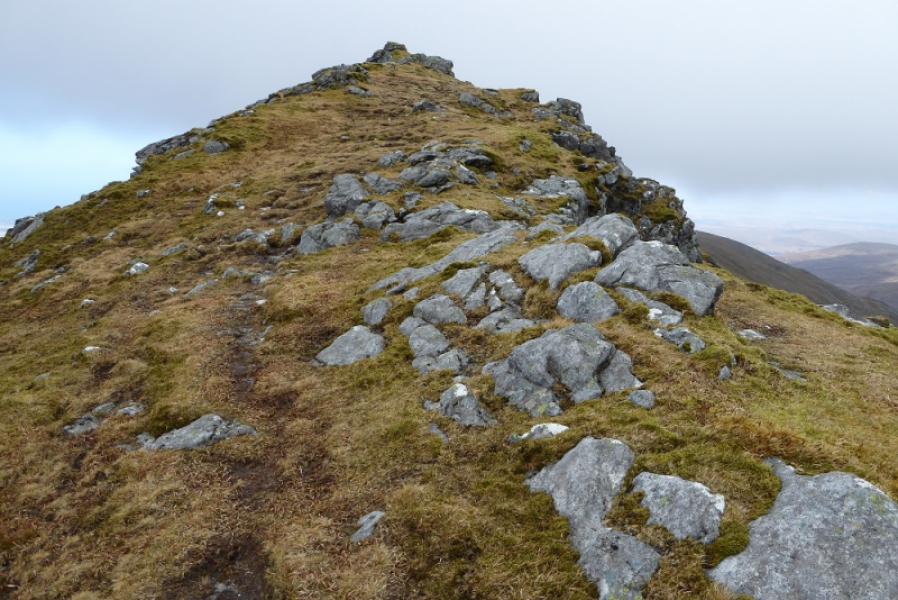
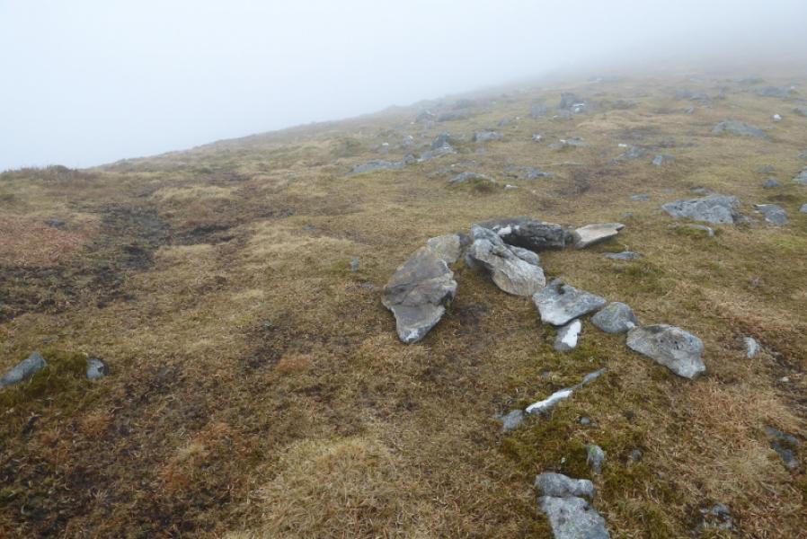
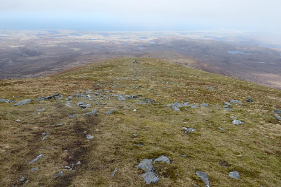
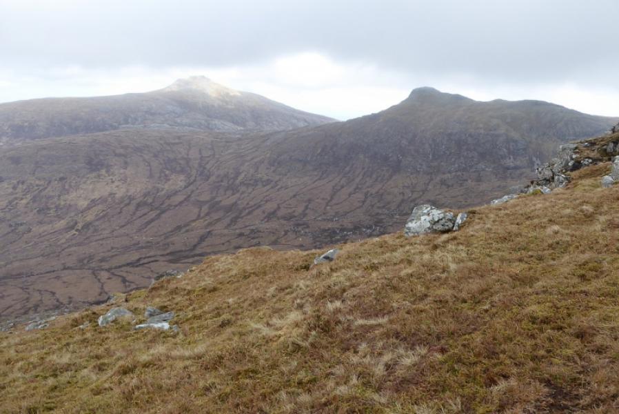
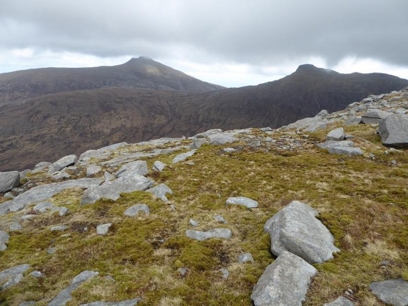
(1) Follow the track to its end then continue on a faint path. On the left is a very low ridge. Leave the path and go over the ridge at its highest point then aim for the NE corner of the most easterly of the 3 lochans shown on the map. This corner is at NF 778 339. The path starts here and leads all the way to the summit but can be very faint in places. Follow the path towards Maola Breac. It drifts more to the north than one might expect but soon starts to climb before drifting right, SE, to avoid the summit of Maola Breac and join the N ridge of Beinn Mhor at the broad bealach S of Maola Breac. Follow the broad ridge up, soon passing a pillar cairn. The path is still there but faint in places. Pick a way up the rocky slopes (no difficulties). Higher up the ridge narrows and there are outcrops and pinnacles which the path weaves around. In dry, calm and clear conditions, most will stay on the crest as much as possible. The main path appears to by pass the summit so, in mist, be aware of this. The summit is roughly above where the path passes a small rock wall on the left with a few boulders higher up. If you stay with the path it soon goes left to reach a grassy flattish area. Double back here and ascend a gentle grassy slope (little sign of a path) to the large walled cairn with a wide stone trig point inside it. This is the summit of Beinn Mhor, 620 m. On a very windy day, this might be the only shelter from the wind!
(2) Retrace the route of ascent.
Notes
(a) This walk took place on 19th April, 2018.
Photos - Hover over photo for caption. Click on to enlarge. Click on again to reduce.