Get Lost Mountaineering
You are here: Scotland » 17 Islands » Western Isles » Harris
Clisham via SE ridge
Clisham via SE ridge
Start/Finish
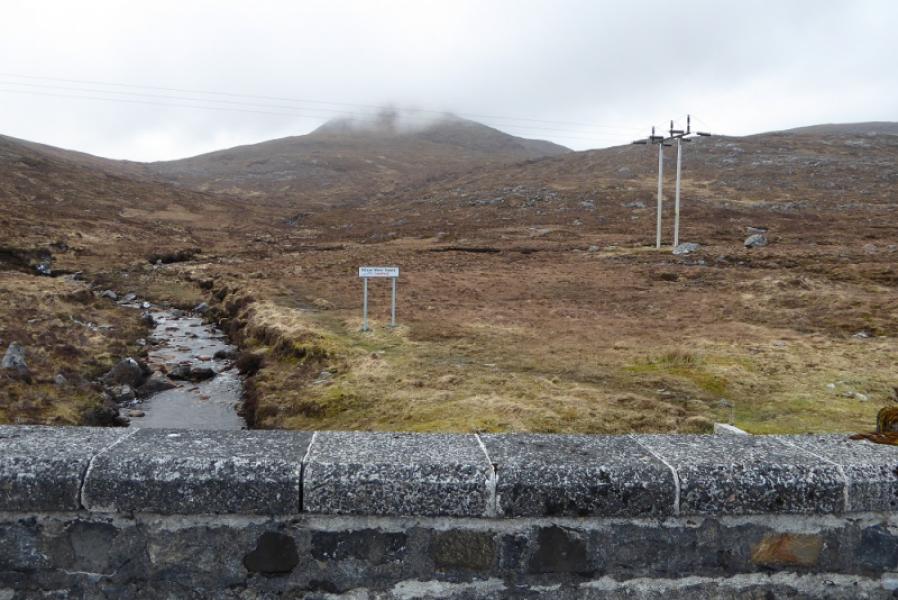
Car park on A859 about 6 miles north of Tarbert at NB 174 058. There is parking for several cars.
Distance/Time
6 km. About 4 – 5 hours.
Peaks
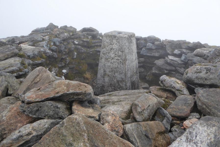
Clisham, 799 m, NB 154 073. OS sheet 13 West Lewis & North Harris.
Sheet 14: Tarbert & Loch Seaforth also covers this route.
Introduction
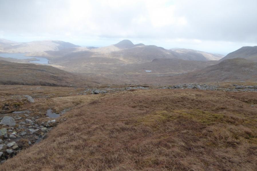
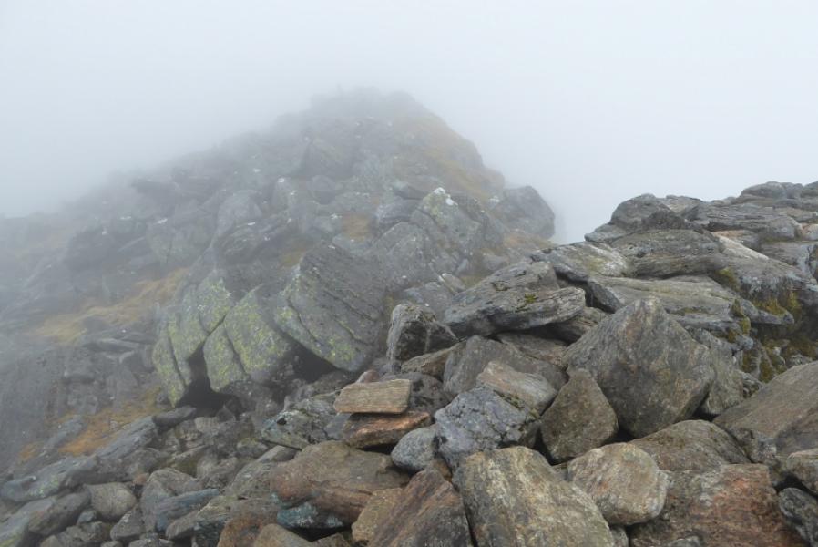
Clisham is the highest peak in the Western Isles and the only Corbett. This is the quickest route to its summit but is quite boggy low down before the well defined SE ridge is gained. The hardest part of the ascent is getting into the shelter cairn around the trig point! On a clear day it is an excellent viewpoint.
Route
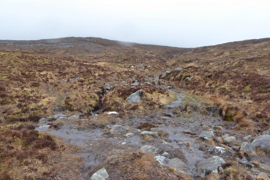
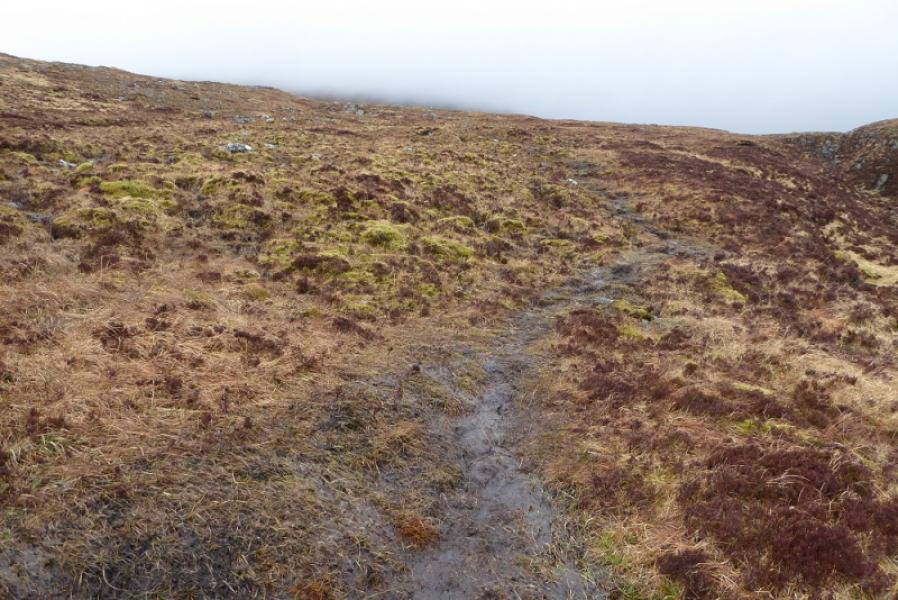
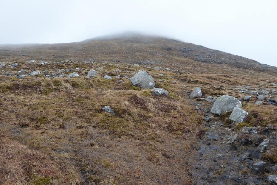
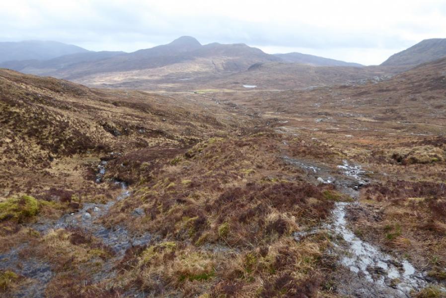
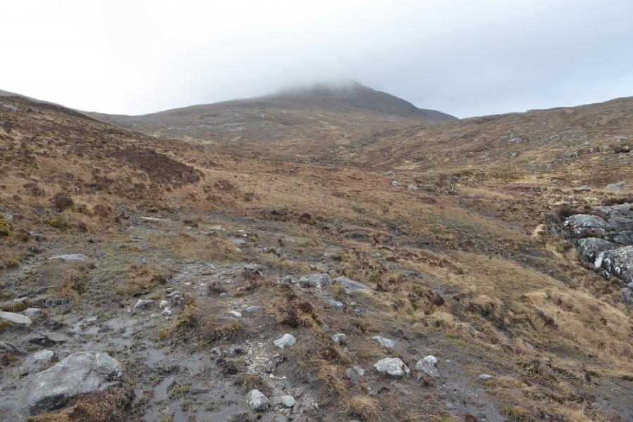
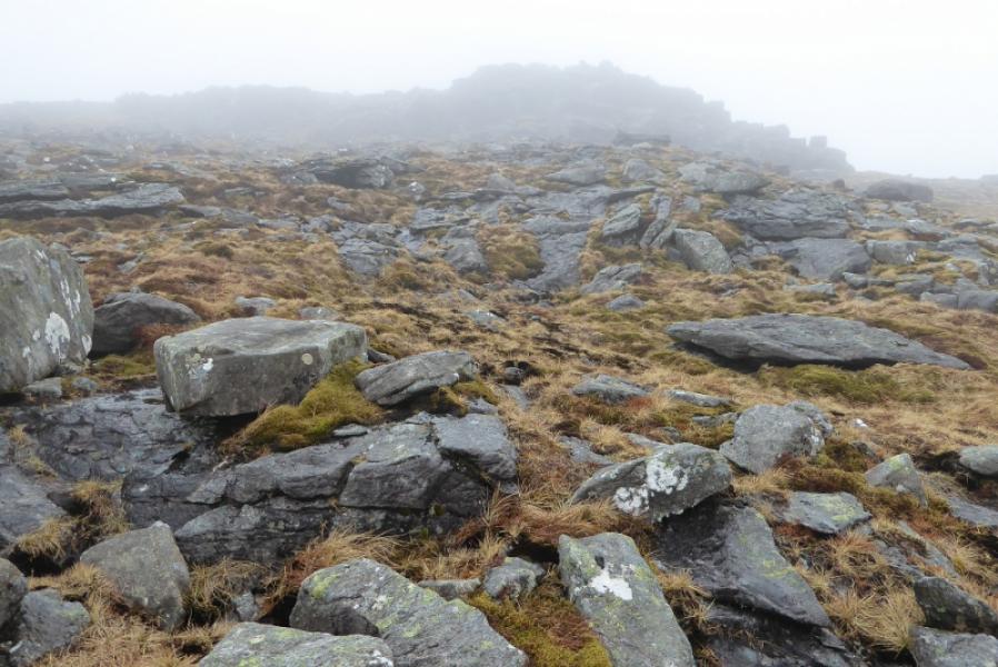
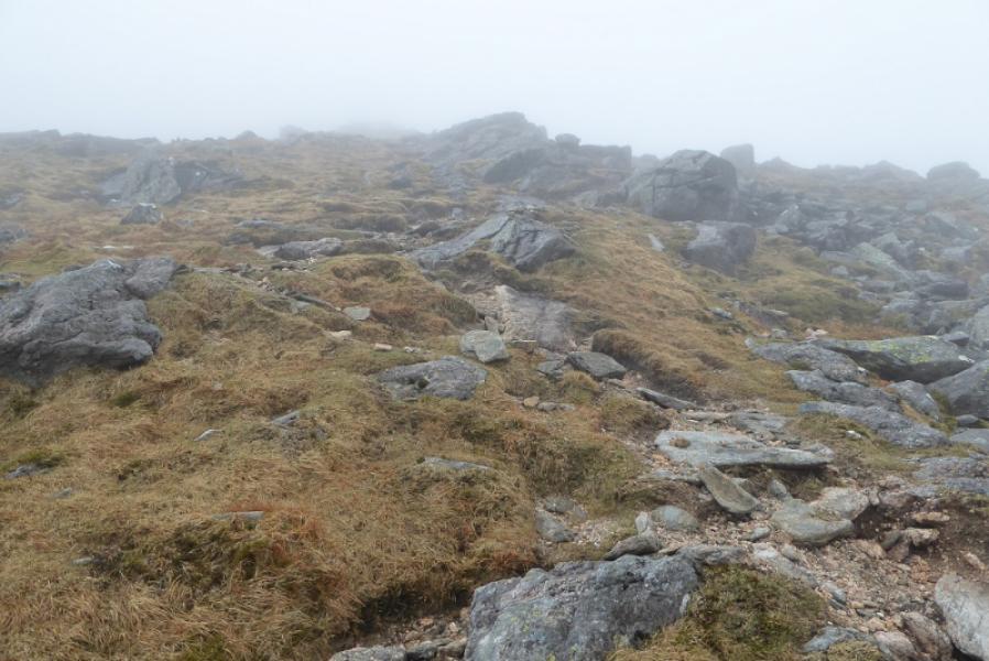
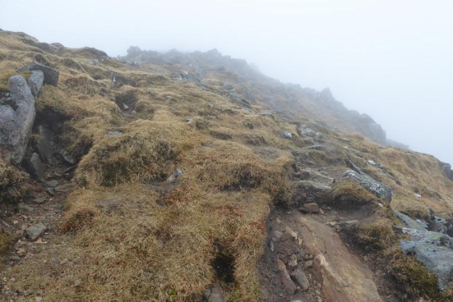
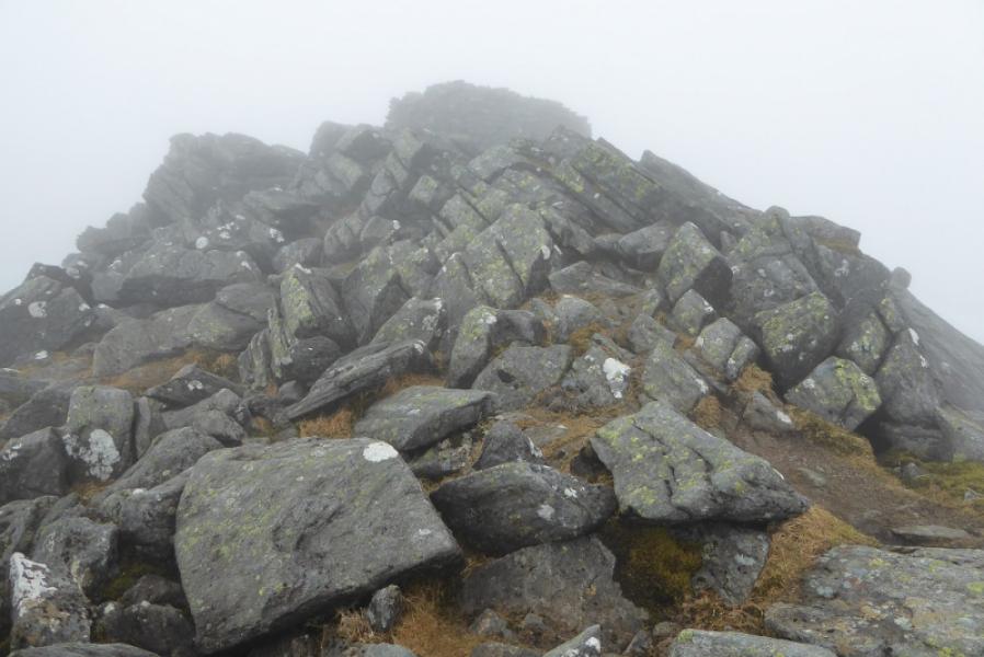
(1) Follow the path on the left, SW, side of the stream from the car park. It is quite muddy. Higher up, it crosses the main stream then, soon after, a minor stream. The muddy path then drifts right slightly and becomes harder to follow. However, a minor path starts after the minor stream and goes straight ahead on better ground. Follow this path almost directly up. If it is clear, there is a crag high up. Aim for this but go to its right and follow a faint path, not easy to find, which ascends below the ridge on its E side so avoiding the boulder fields. Higher up, the path, faint in places, joins the crest and continues, more obviously, up the crest. There are a few “finger cairns”. High up, the angle eases and the final crest is reached but it is quite bouldery so the path passes on the left, W, side before rejoining the crest where it continues, through small rocky sections, to the large shelter cairn, inside which is the trig point which is the summit of Clisham, 799 m.
(2) Descend by the ascent route.
Notes
(a) This walk took place on 20th April, 2018.
(b) Clisham was previously climbed by the same route about 12 years earlier.
Photos - Hover over photo for caption. Click on to enlarge. Click on again to reduce.