Get Lost Mountaineering
You are here: Scotland » 17 Islands » Western Isles » Harris
Oreval , Ullaval & Tiorga Mor from Entrance to Gleann Chliostair
Oreval , Ullaval & Tiorga Mor from Entrance to Gleann Chliostair
Start/Finish
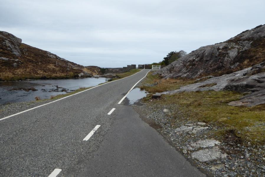
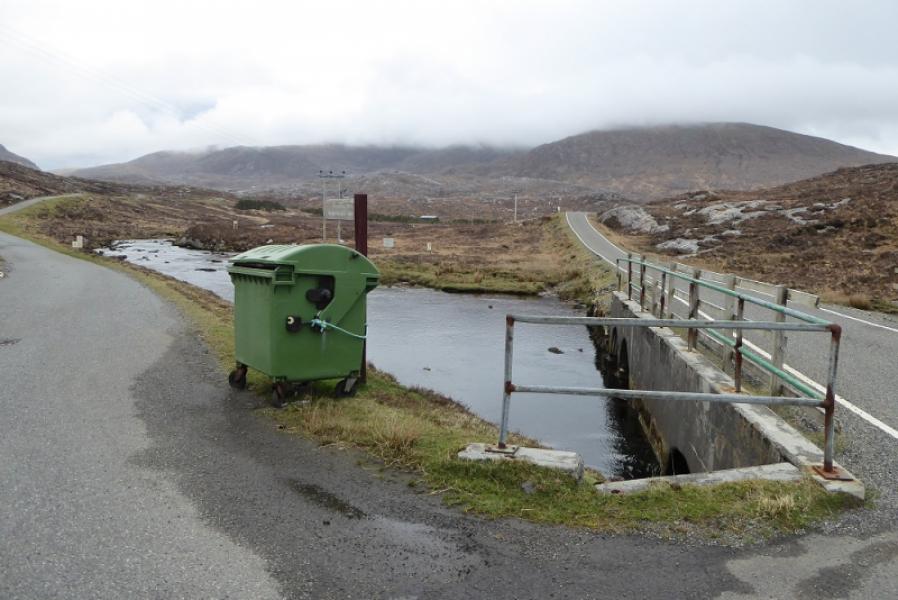
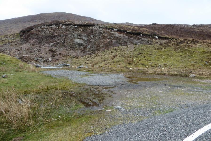
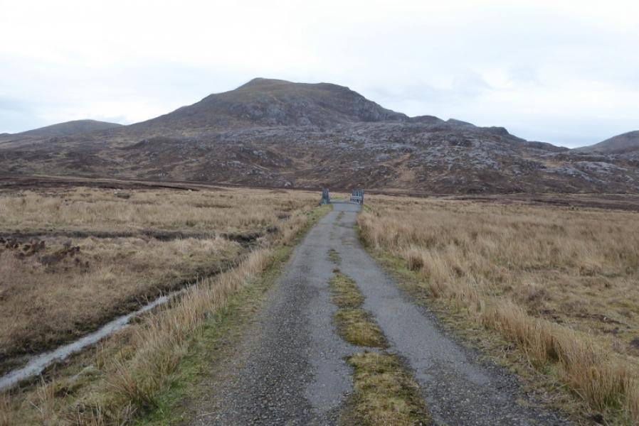
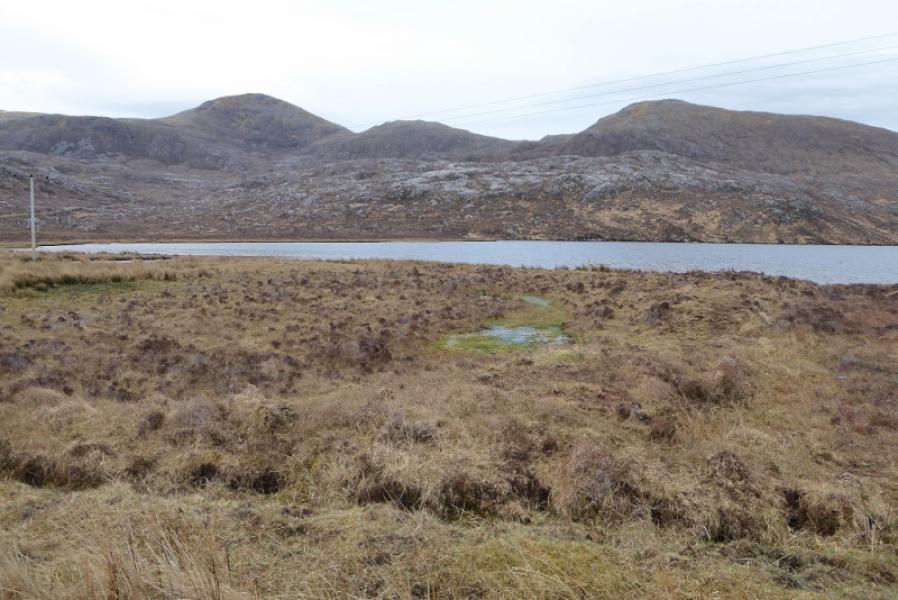
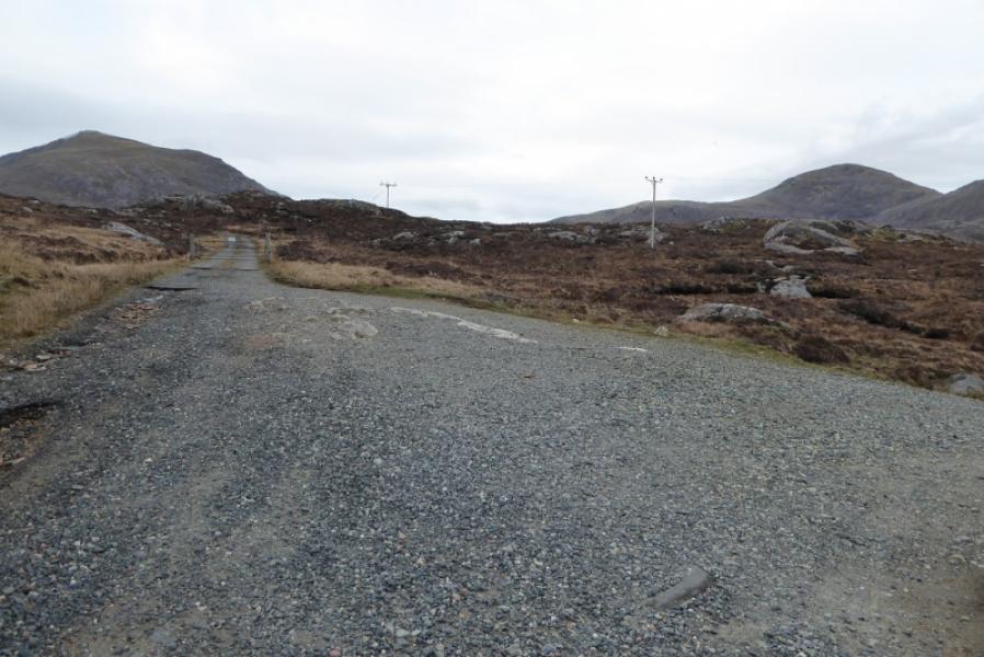
Entrance to Gleann Chliostair, at NB 051 078, about 8 miles along B887 off A859. This is just before an obvious gate a little further west. Parking is restricted and if none is available, there is easier parking on the bend by Loch nan Caol about a mile to the east. This would mean the road walking is at the end of the day instead of at the beginning.
Distance/Time
17 km. About 7 – 8 hours.
Peaks
Oreval (Oireabhal), 662 m, NB 083 099.
Ullaval (Ulabhal), 659 m, NB 086 115.
Tiorga Mor, 679, NB 055 115.
OS sheet 13 West Lewis & North Harris.
Sheet 14: Tarbert & Loch Seaforth also covers this route.
Introduction
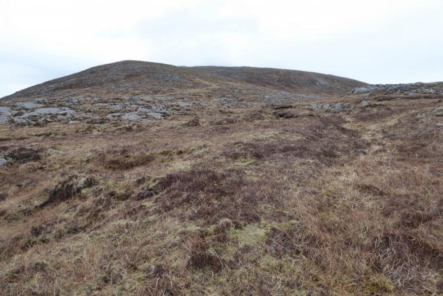
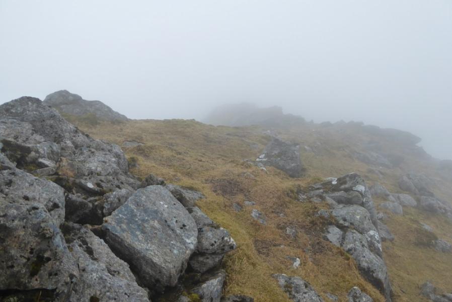
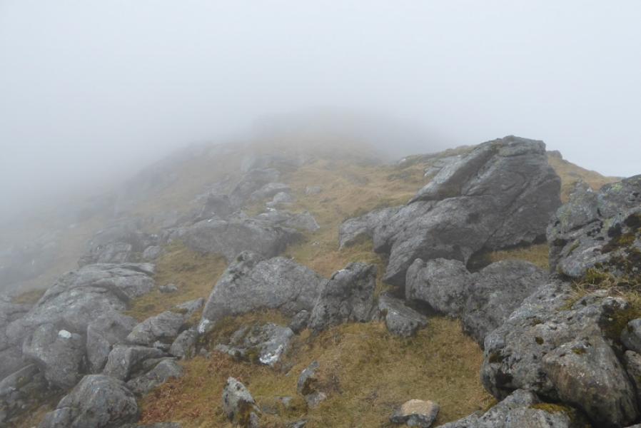
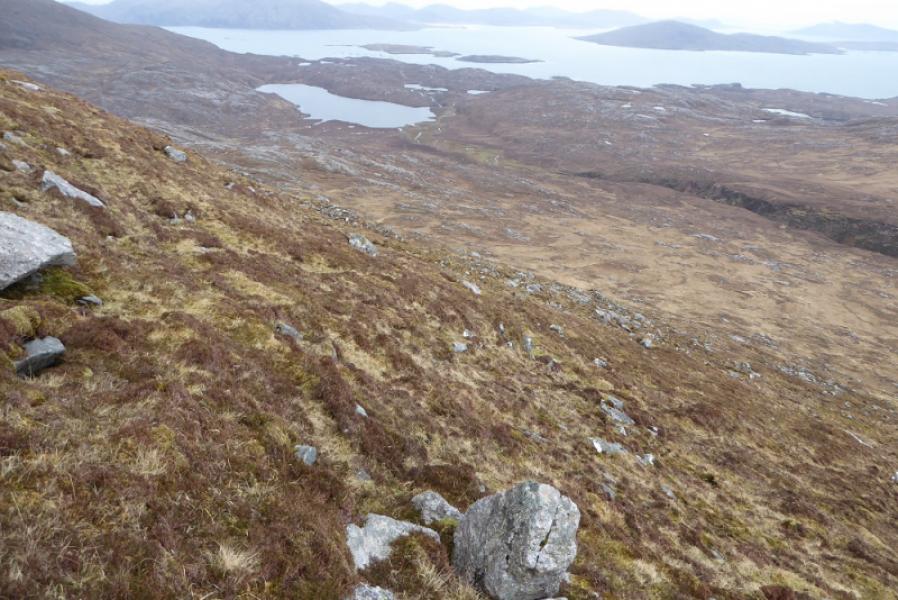
This is a tough round with few paths and much rough ground. Navigation is tricky in mist but very easy in clear weather. On good weather days, views are excellent.
Route
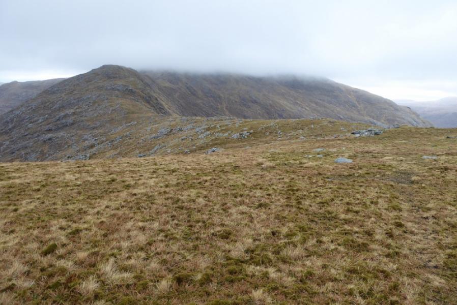
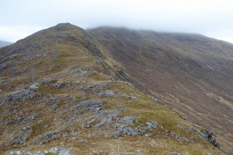
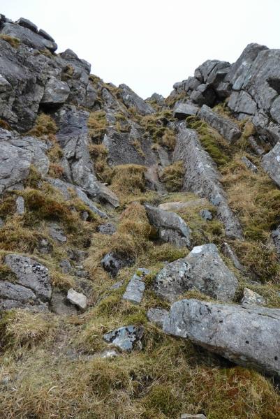
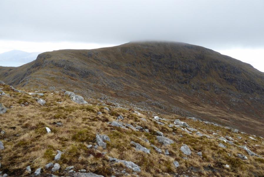
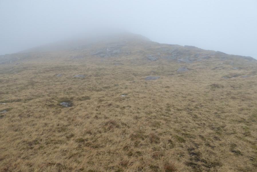
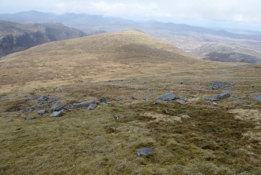
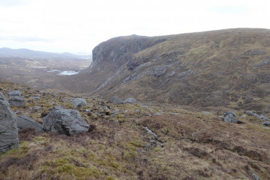
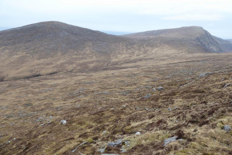
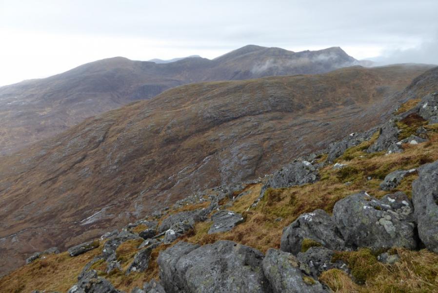
(1) Walk E back along the road until the bend by Loch nan Caol. Start ascending here. There is little in the way of paths so aim for the SE ridge of Cleiseabhal then continue up to reach the trig point which is the summit of Cleiseabhal. Descend NNE on easy slopes then follow the ridge N with one slightly awkward rocky section down an open gully to reach a broad bealach then continue up, faint path, to reach the top of Bigidigh which has no cairn. Descend N then make the long ascent up the S ridge of Oreval to reach a plateau where there are 3 cairns. The most easterly seems to be the official summit but the highest point is a small cairn on a rock to the W. This is Oreval (Oireabhal), 662 m.
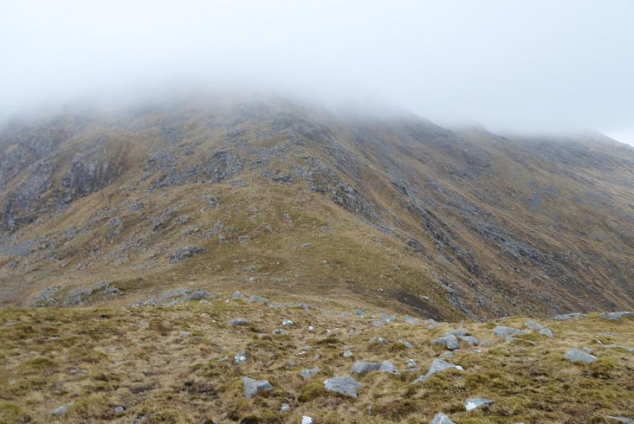
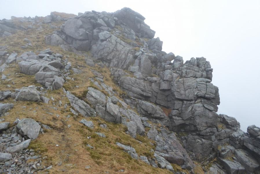
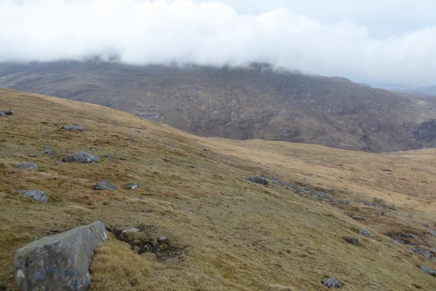
(2) Descend NNE to reach the edge running N then follow this past rocky towers either side of a gully then continue up the S ridge to reach the summit cairn of Ullaval (Ulabhal), 659 m.
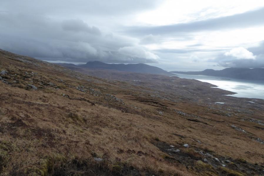
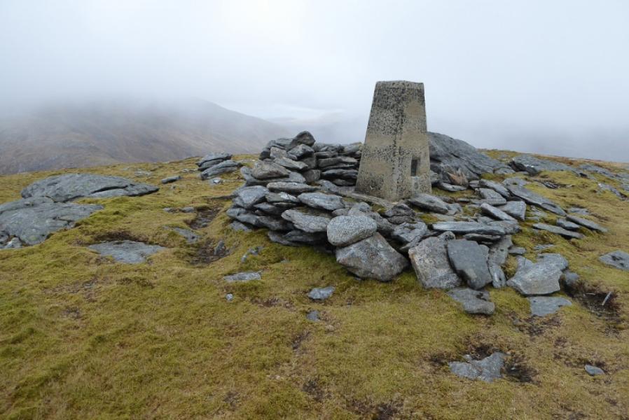
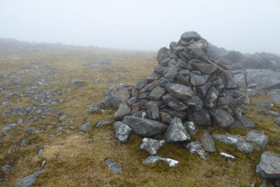
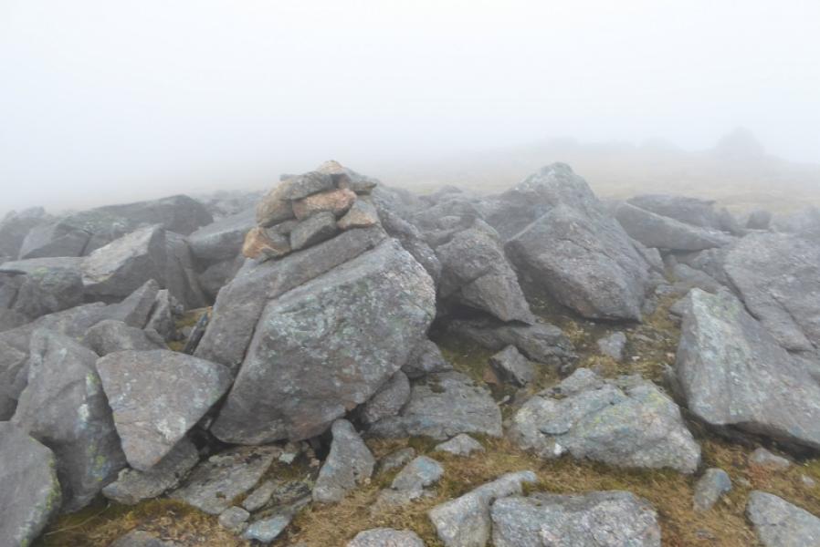
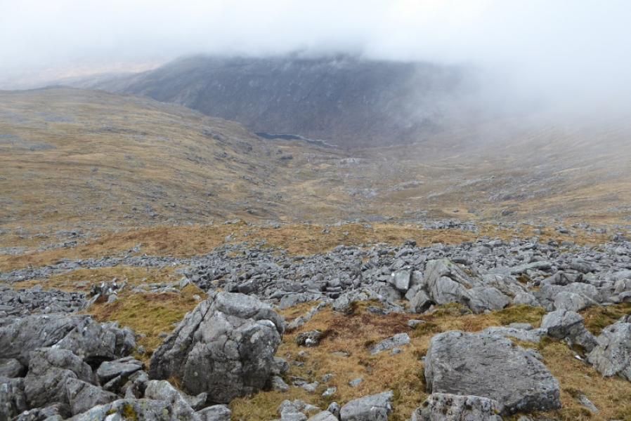
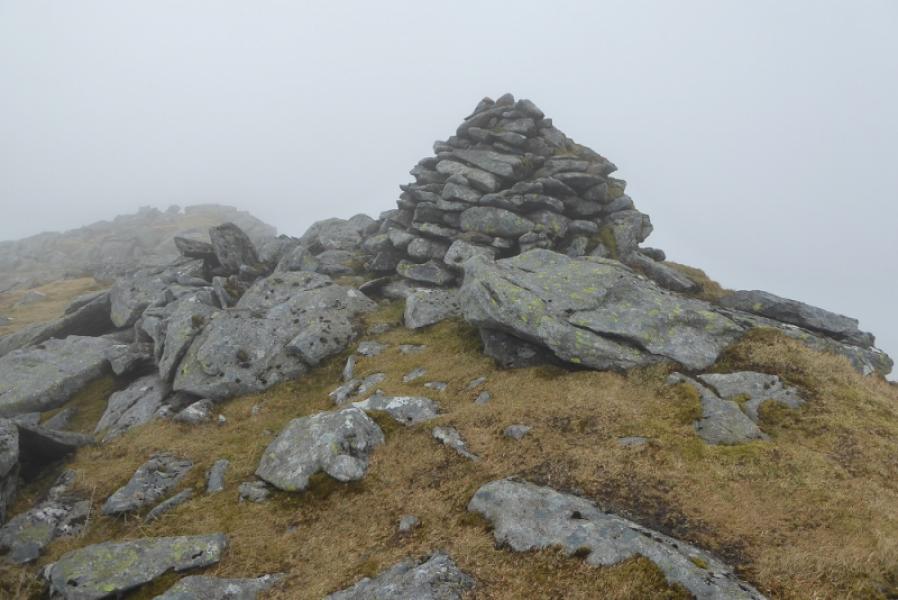
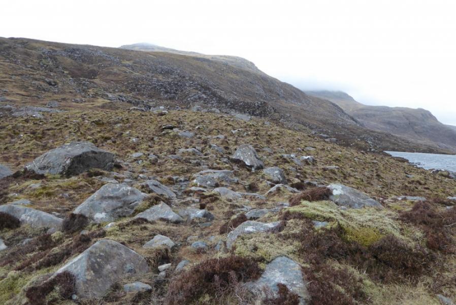
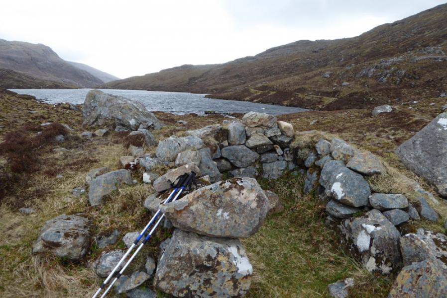
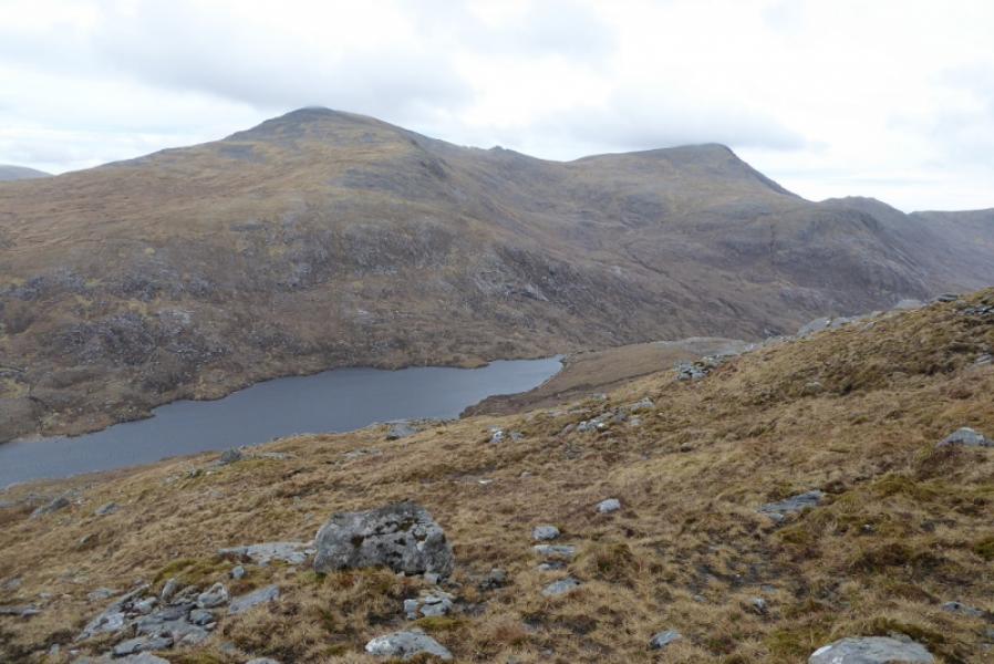
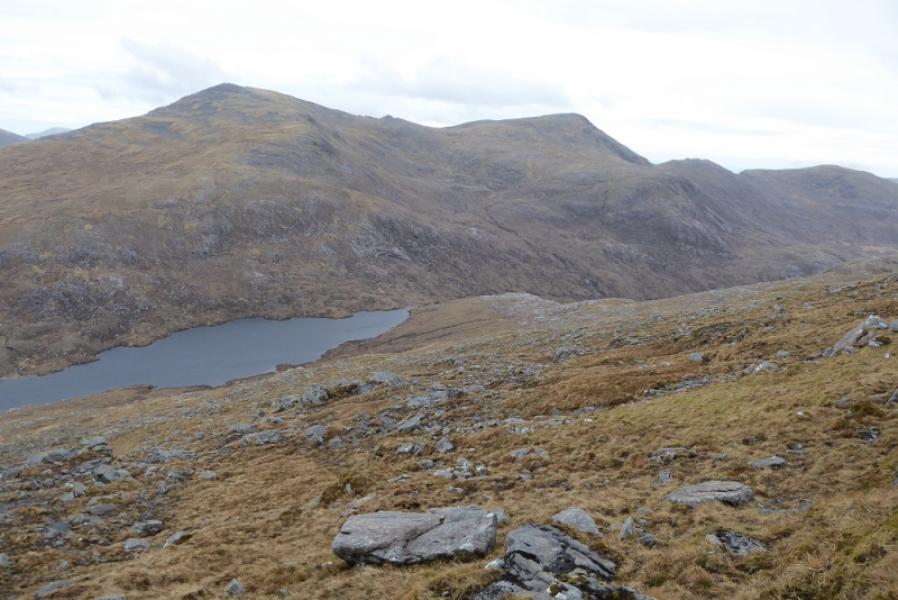
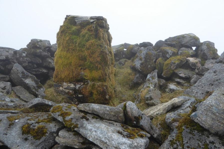
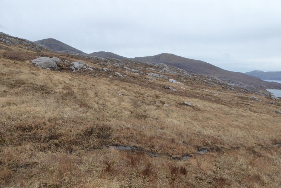
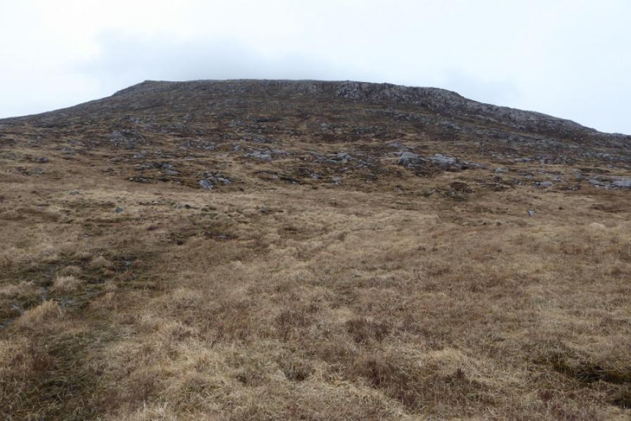
(3) Descend W then drift N to avoid boulder fields then pick a way down easy grassy slopes to follow a stream draining down towards the head of Loch Aiseabhat where there is a small shelter cairn. The way ahead is up steep slopes aiming for what seems a peak above which is Tiorga Beag although the OS have moved its name on the map! Pick a way up, again no path, to reach a bouldery plateau with no cairn. Head SW, descending very gradually, hint of a path, before ascending the 130 m up the N ridge of Tiorga Mor. The summit area is quite rocky and bouldery with a shelter cairn containing a very mossy stone trig point which is the summit of Tiorga Mor, 679 m.
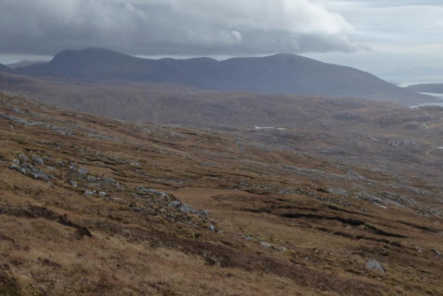
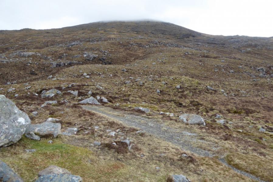
(4) Follow the summit crest roughly S to SE until open slopes descending S can be followed down to the path in Gleann Leosaid. It is quite a long descent. Once in the glen, follow the path, faint after meeting the river, to the main track in Gleann Chliostair then follow this S back to the start.
Notes
(a) This walk took place on 21st April, 2018.
(b) It was also walked about 12 years earlier by the same route.
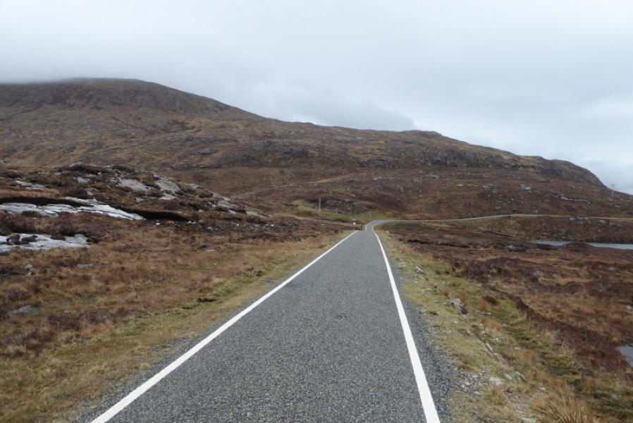
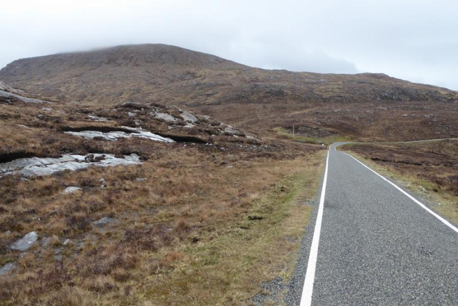
Photos - Hover over photo for caption. Click on to enlarge. Click on again to reduce.