Get Lost Mountaineering
You are here: Scotland » 16 Coigach to the Pentland Firth » East of Bonar Bridge to Tongue Road
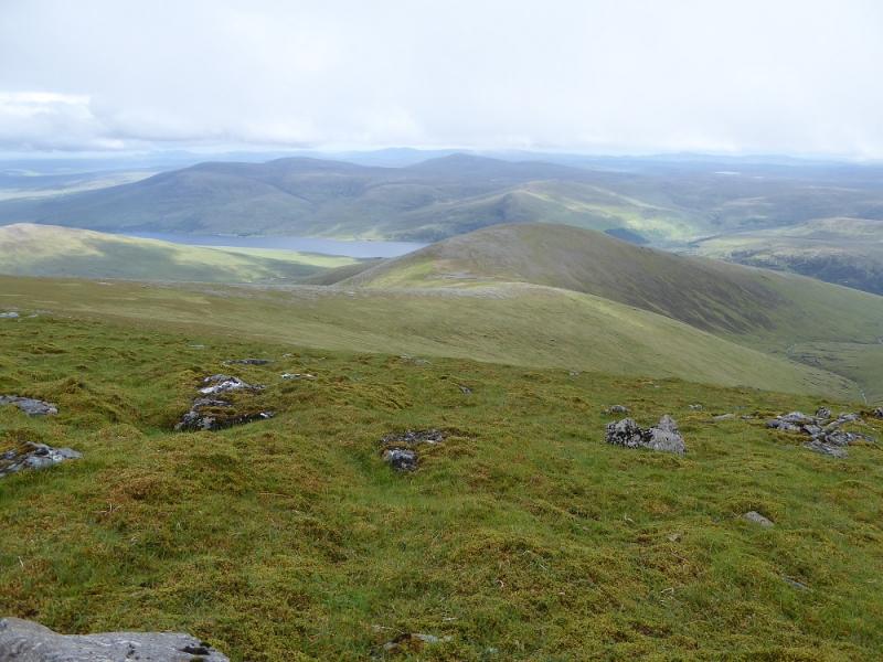
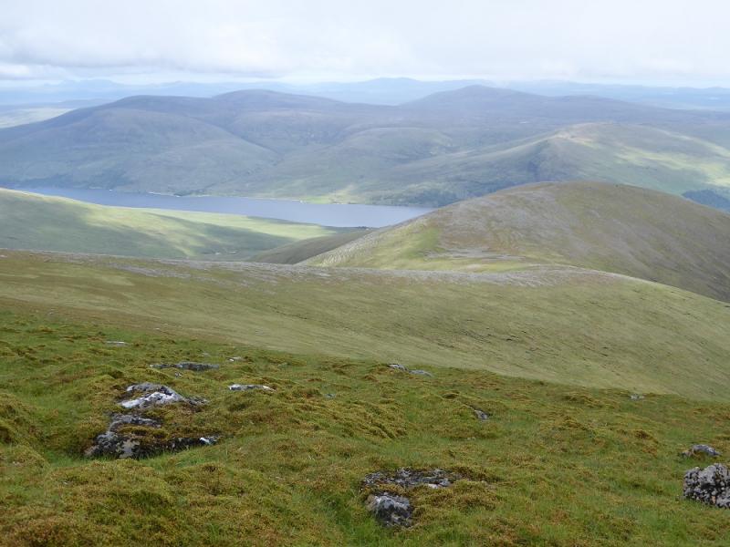
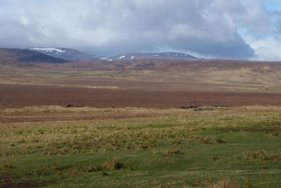
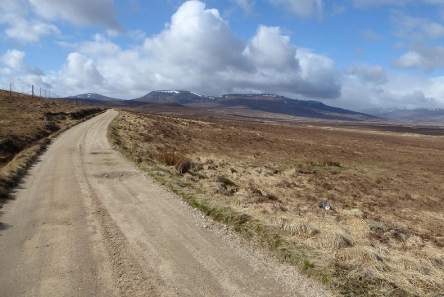
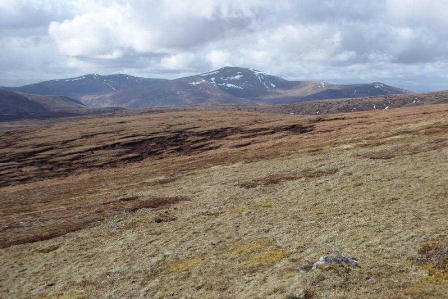
Ben Armine & Creag Mhor from near Badanloch Lodge
Ben Armine & Creag Mhor from near Badanloch Lodge
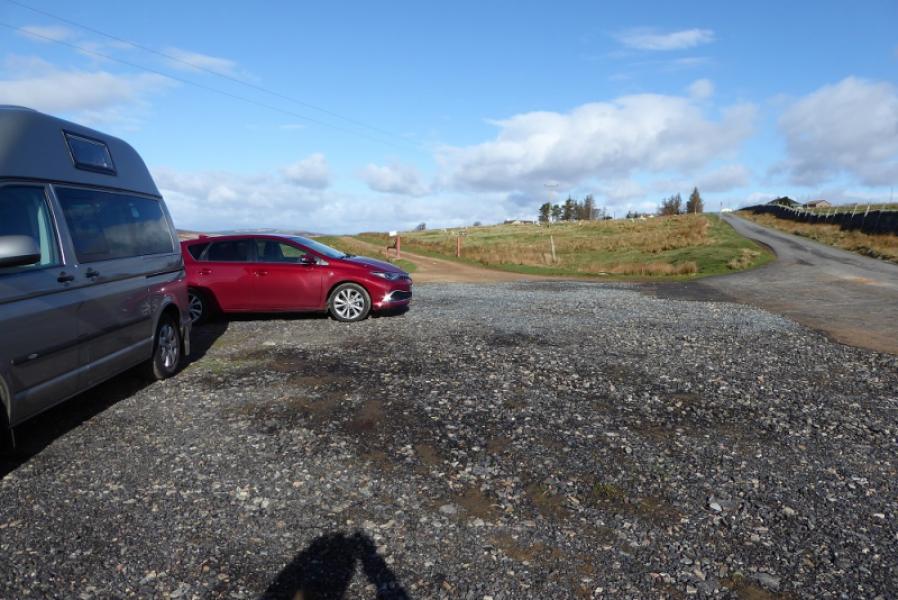
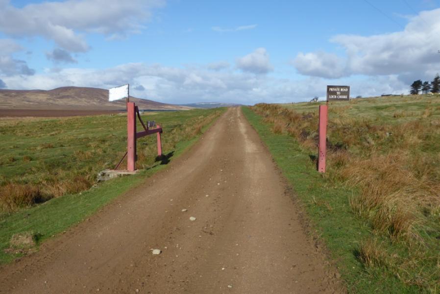
Start/Finish
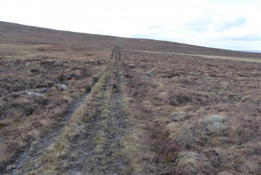
Rough car park at start of track to Loch Choire which leaves B871 road from Kinbrace to Bettyhill, close to Badanloch Lodge which is about 4 miles from Kinbrace. The start of the track is signed.
Distance/Time
27 km bike + 17 km walk. About 9 – 10 hours.
Peaks
Ben Armine/ Creag a Choire Ghlais, 705 m, NC 695 273.
Creag Mhor, 713 m, NC 698 240.
OS sheets 17 (Helmsdale & Kildonnan) & 16 (Lairg & Loch Shin)
Introduction
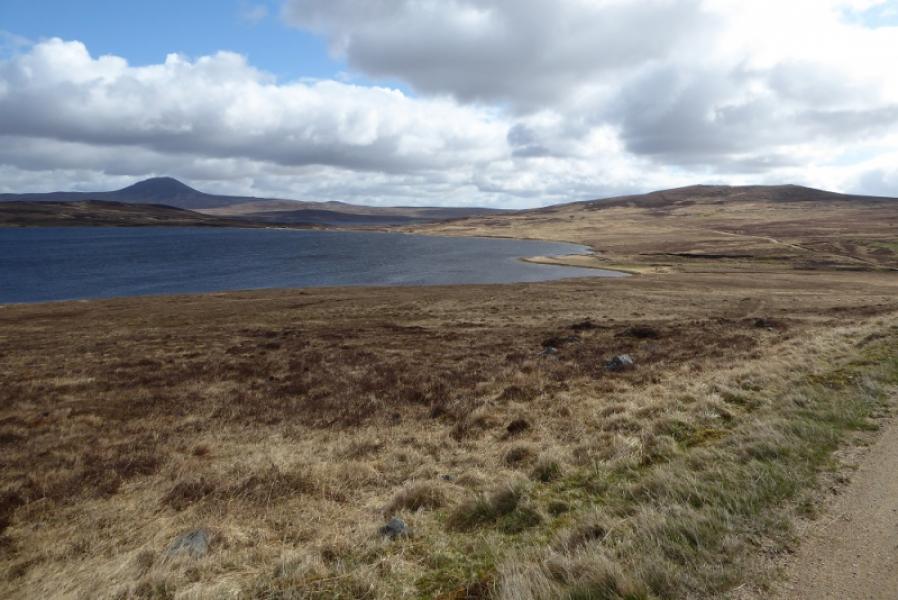
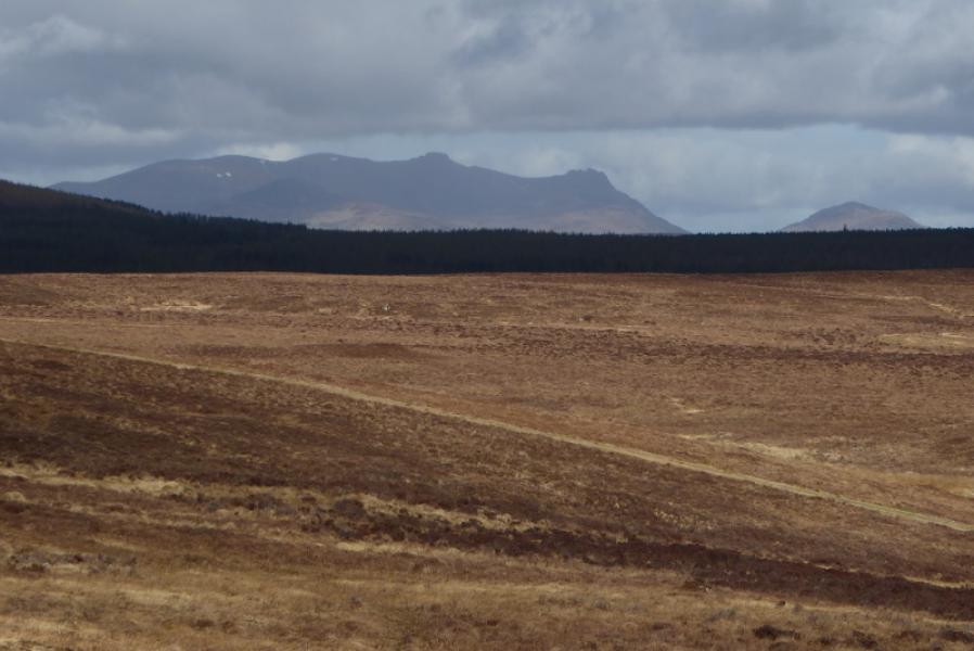
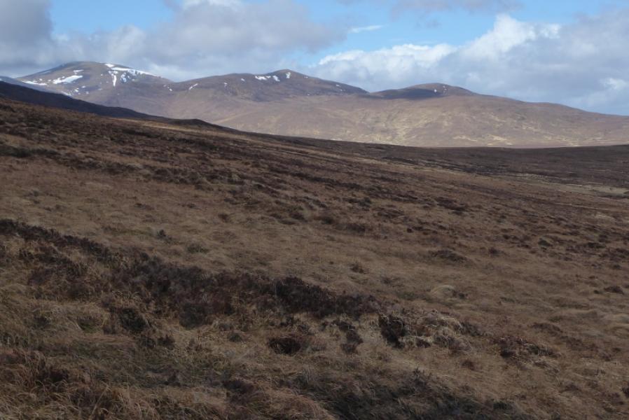
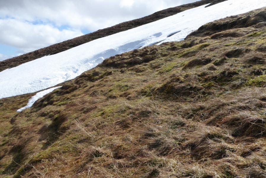
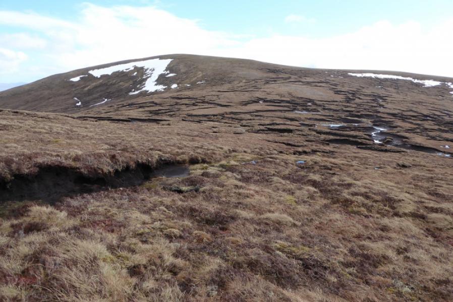
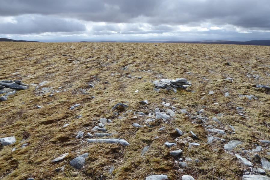
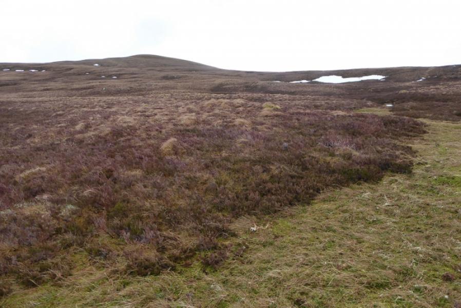
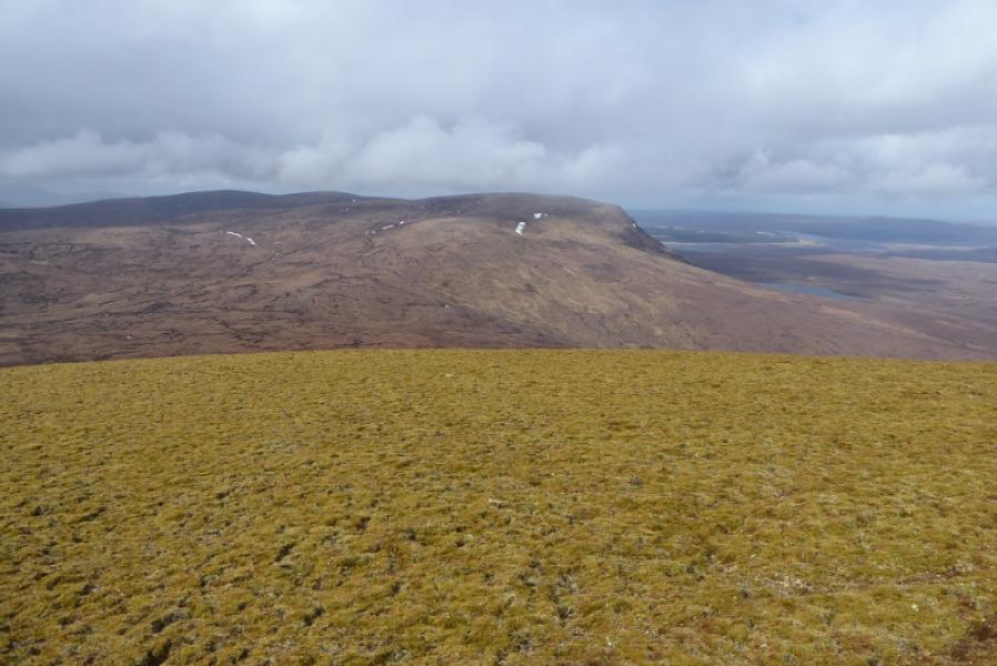
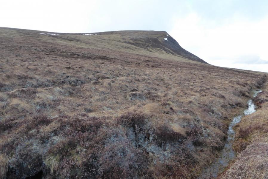
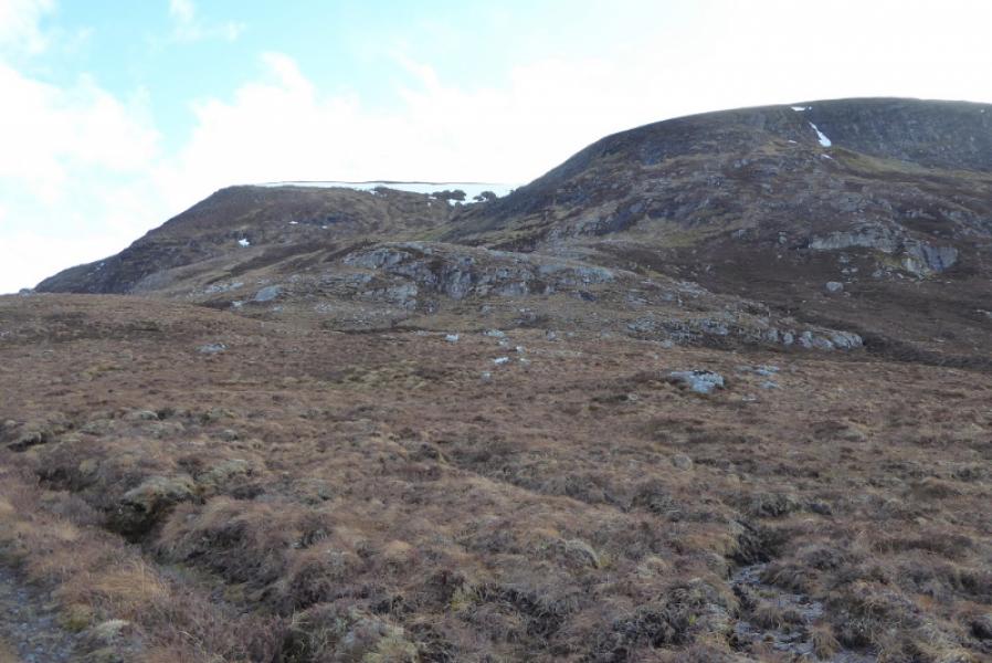
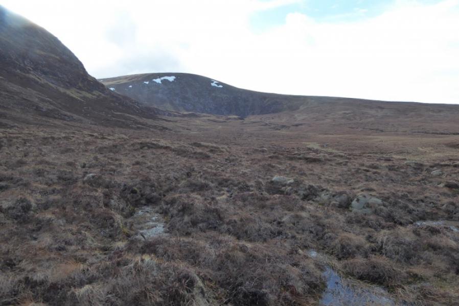
These are two very rough and remote hills which take some reaching. They are unlikely to be visited by those not attempting to climb all the Grahams. The track is sandy and very exposed so not pleasant on a windy day! There are very good views of Ben Klibreck which is not far to the north across Loch Choire which is not seen on this route. There are numerous peat hags on these hills which can waste much time in avoiding them.
Route
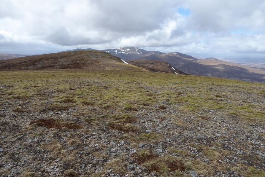
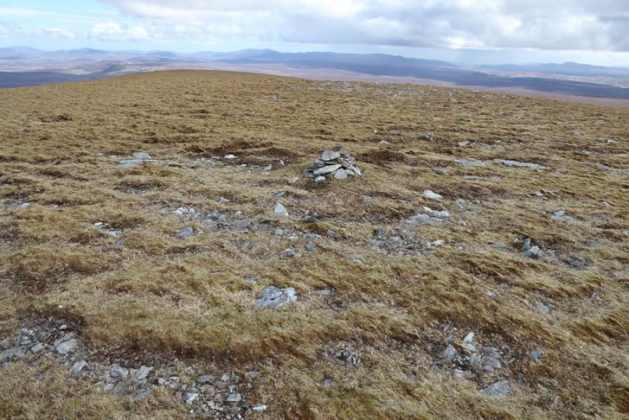
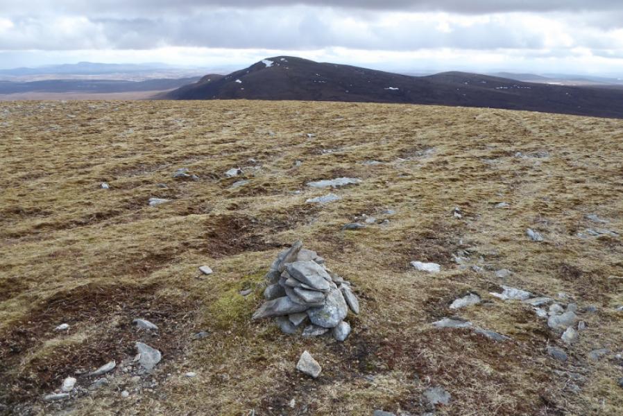
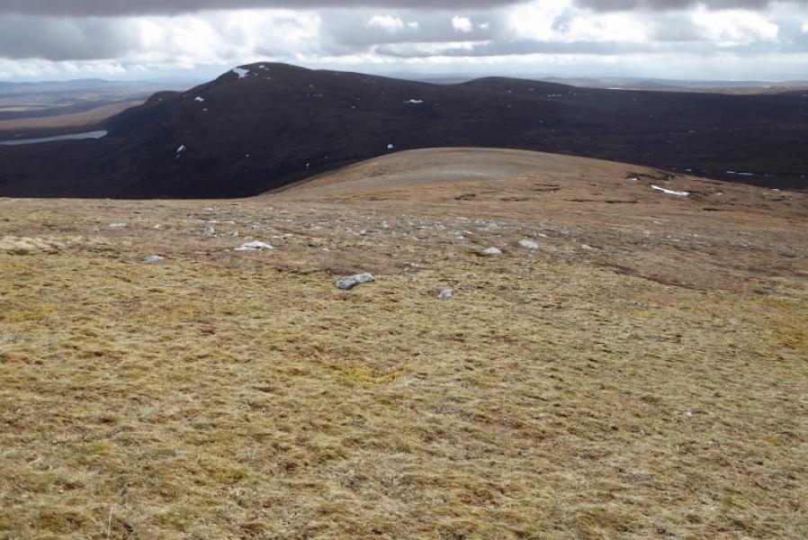
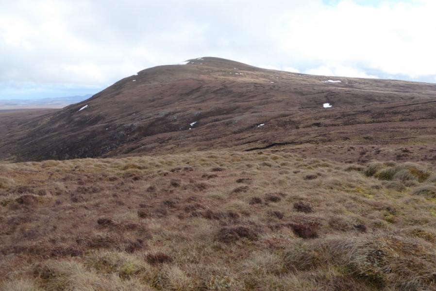
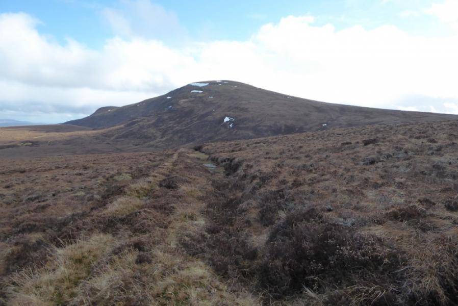
(1) Cycle up the track ignoring the only turning going left after about 3 km. Continue for just over 13 km until a track is met as a reverse left fork. Leave bikes here, NC 687 310. Pick a way up the N slopes of Meall nan Aighean which is quite a slog. Once on the summit plateau, descend SSE to the peat hag col then ascend ESE up on to the featureless summit plateau of Ben Armine. There are quite a few tiny cairns of which the largest and most easterly seems to be the summit of Ben Armine/ Creag a Choire Ghlais, 705 m.
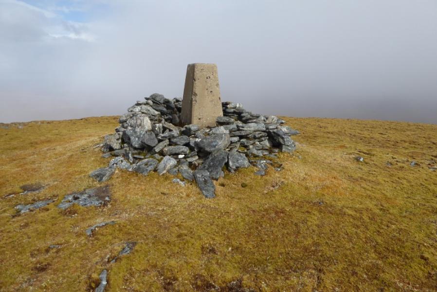
(2) Descend S on easy slopes towards the col at the top of Coir an Eas. A rough stalker's path will be crossed before the col and this is returned to later. There are many peat hags in this col so pick what seems to be the easiest way through, possibly over to the W. Once through the peat hags, pick a way up onto the SW ridge then ascend NE to the summit plateau where a trig point in a shelter cairn marks the summit of Creag Mhor, 713 m.
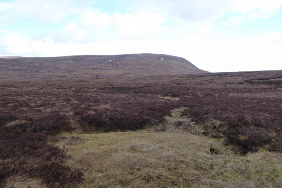
(3) Descend N then NW trying to keep to the right of the peat hags. Cross the top of Coir an Eas then ascend to the stalker's path. Follow this E until it joins another track running S – N. Turn left N and follow the rough track under Ben Armine then under Meall nan Aighean. Later on there is a significant uphill section before the track descends down to the main track and the bikes for the easy cycle back to the start.
Notes
(a) This walk took place on 24th April, 2018, and about 20 years earlier by a different route which was a backpacking 2 days from the Crask Inn which also took in Ben Klibreck.
Photos - Hover over photo for caption. Click on to enlarge. Click on again to reduce.