Get Lost Mountaineering
You are here: Scotland » 15 Loch Broom to Easter Ross » West Of Strathcarron & Loch Vaich to Ullapool
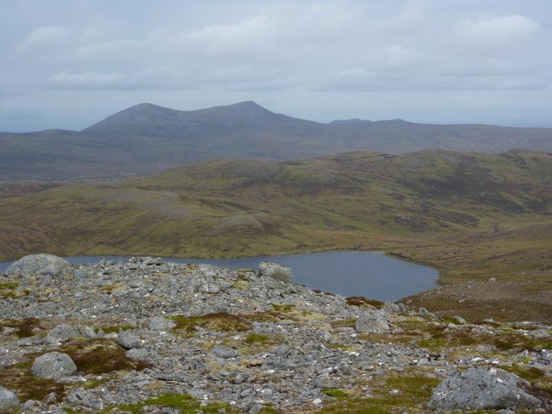
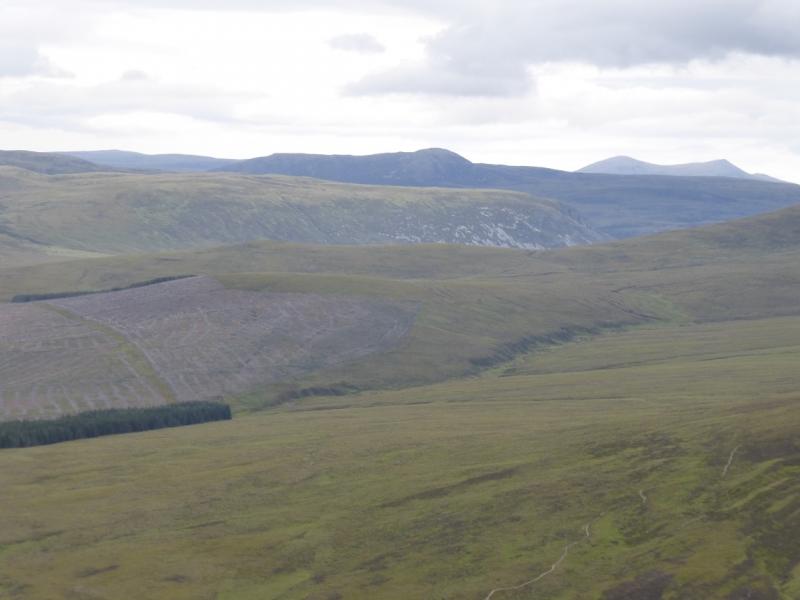
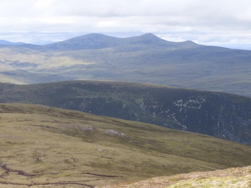
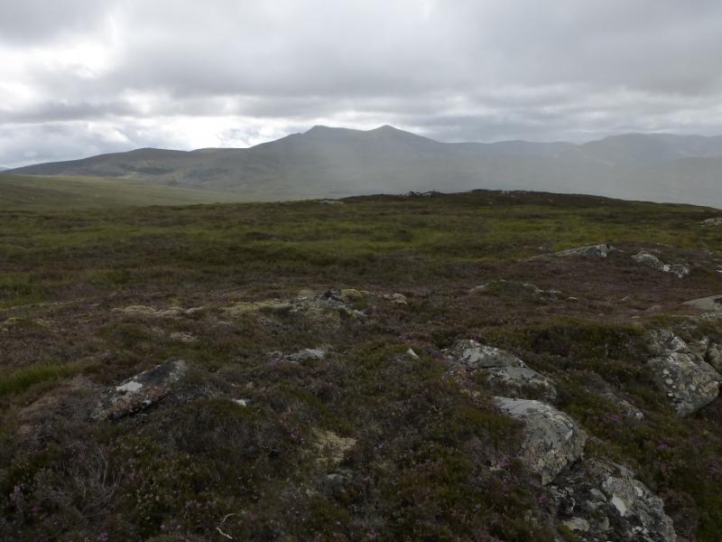
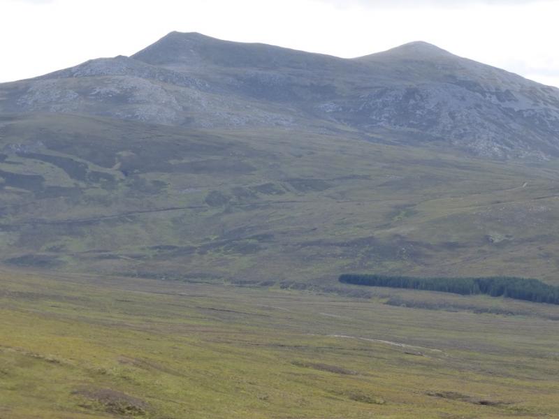
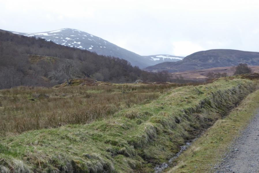
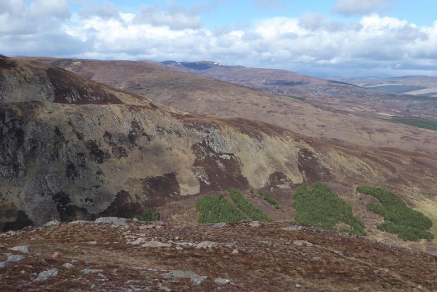
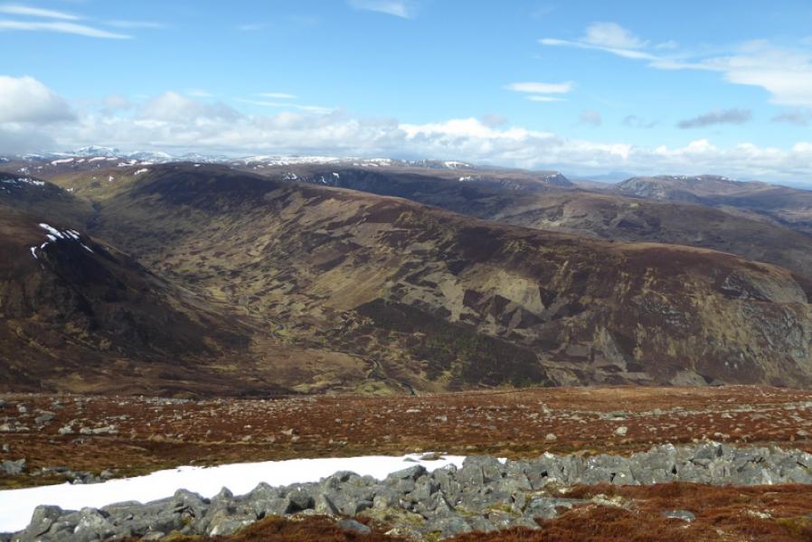
Carn Chuinneag from near Glencalvie Lodge off Strathcarron
Carn Chuinneag from near Glencalvie Lodge off Strathcarron
Start/Finish
Access to Strathcarron is from Ardgay which is a village on the S side side of the Dornoch Firth opposite Bonar Bridge. This used to be the main road up the east coast until the causeway across the outer Dornoch Firth was built to avoid the long detour inland saving about 25 miles. Drive up Strathcarron on either side of the river but the N side will be needed eventually to reach The Craigs where there is a telephone box (might not now be there). Cross the river here. Pass Annat Lodge and drive to the bridge which goes over the river to Glencalvie Lodge. Cars can be left here with plenty of space for parking.
Distance/Time
9 km bike + 7 km walk. About 5 – 6 hours.
Peaks
Carn Chuinneag, 838 m, NH 483 833. OS sheet 20: Beinn Dearg
Introduction
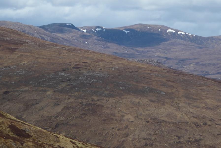
Carn Chuinneag is a very pleasant mountain to ascend as there is a good path almost all the way and excellent views from the summit so it is worth saving for a clear day. The track up Glen Calvie is stony and bone shaking at times. The route crosses the N flank which can hold snow drifts well into spring.
Route
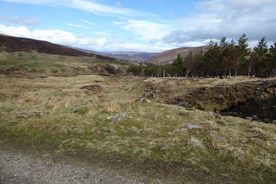
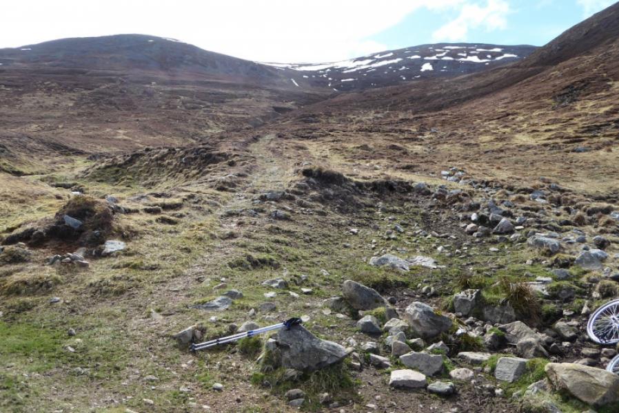
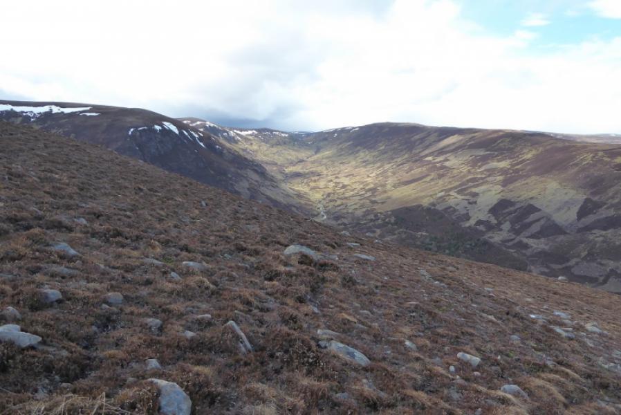
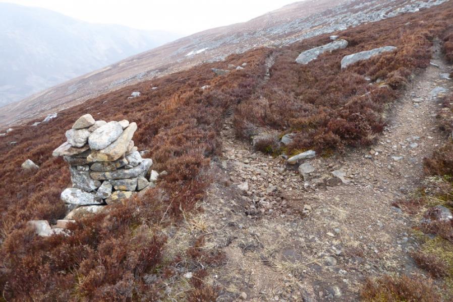
(1) Take the road to Glencalvie Lodge, almost immediately crossing the main bridge. The track leads around the main house, in its impressive grounds, then keeps to the right, W, side of the river. Follow the track which climbs almost continually until past the impressive Diebidale Lodge set high on the right. Reach a track junction and turn left. The path up Carn Chuinneag starts in about 20 m and may be marked by a small cairn although it is quite a prominent path. Follow the path up the north shoulder then onto the W flank. High up there is a significant cairn on the path. Take the reverse left fork, NE, and follow it across the N flank, passing below the large boulder fields. When the path, shown on the map, starts to descend, leave it and ascend SE up a gentle ridge to reach the trig point in a shelter cairn which is the summit of Carn Chuinneag, 838 m.
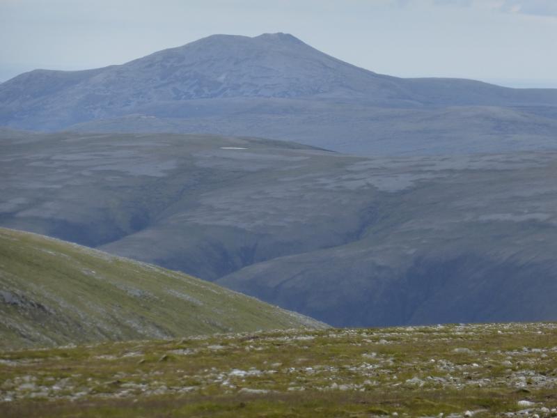
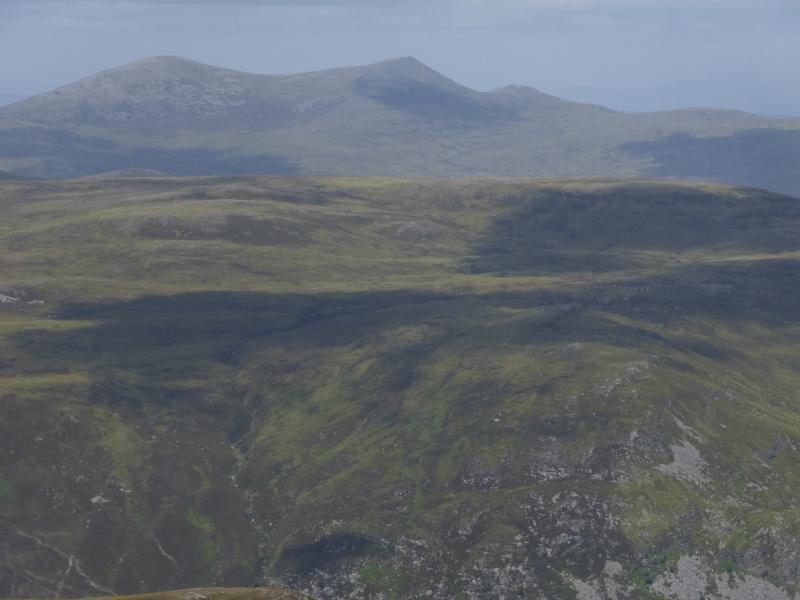
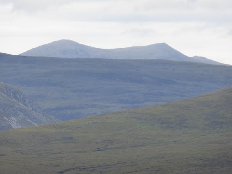
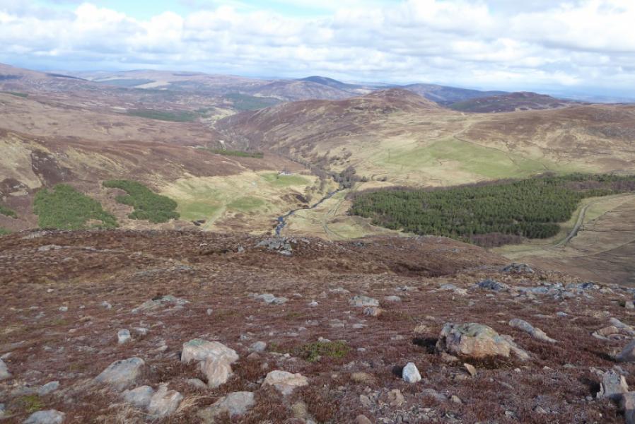
(2) The best views are to be had by retracing the route of ascent.
Notes
(a) This walk took place on 25th April, 2018, and about 12 years earlier.
Photos - Hover over photo for caption. Click on to enlarge. Click on again to reduce.