Get Lost Mountaineering
You are here: Scotland » 16 Coigach to the Pentland Firth » Lairg to Laxford Bridge to Tongue
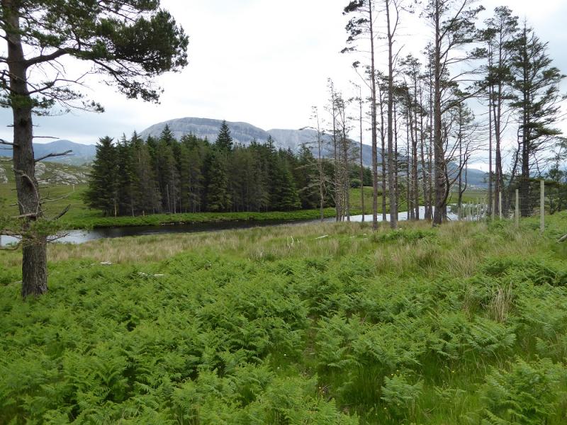
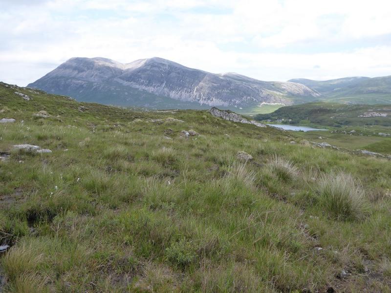
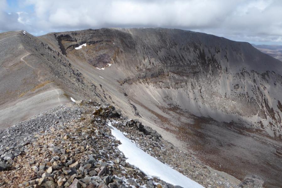
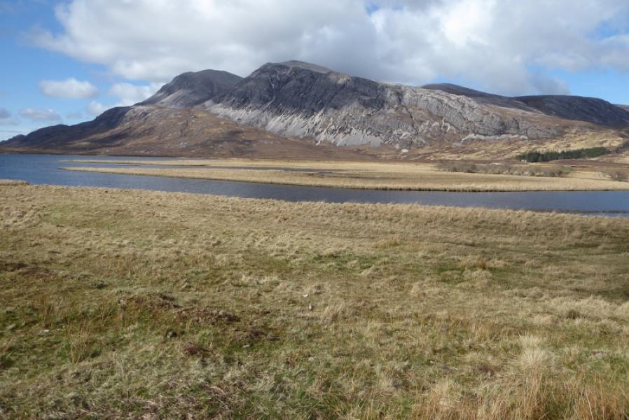
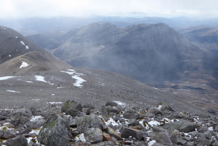
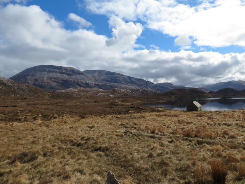
Arkle from S end of Loch Stack
Arkle from S end of Loch Stack
Start/Finish
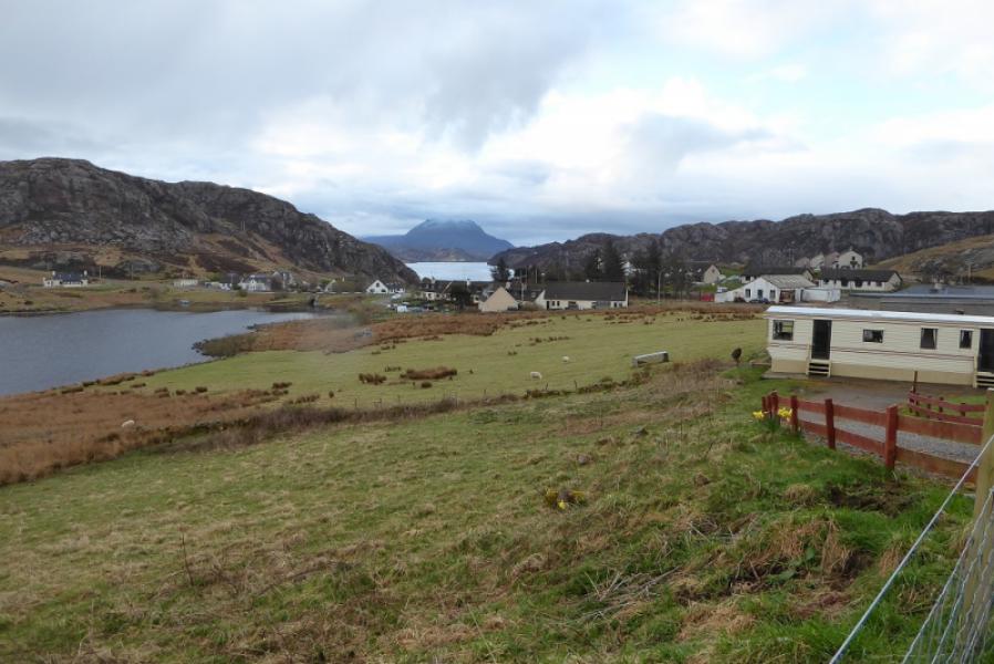
Large rough parking area at south end of Loch Stack at beginning of track to Lone. This is on the A838 about 31 miles north of Lairg or about 6 miles south of Laxford Bridge.
Distance/Time
18 km. About 7 – 8 hours.
Peaks
Arkle, 787 m, NC 302 461. OS map 9: Cape Wrath.
Introduction
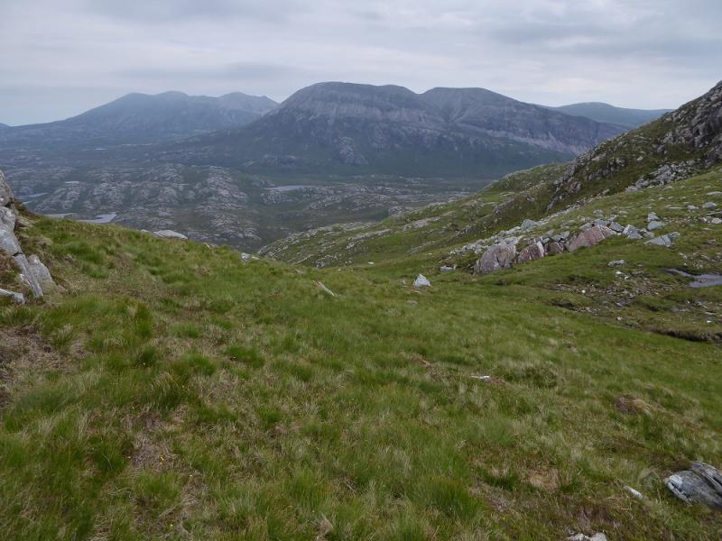
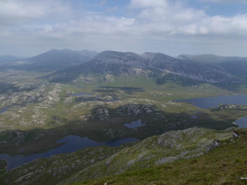
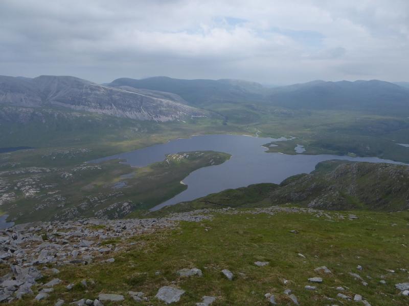
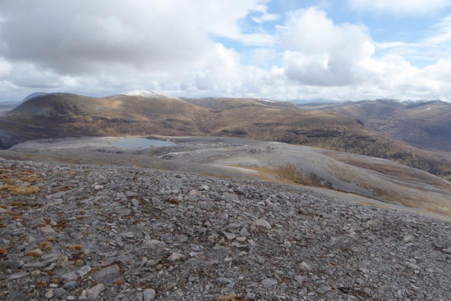
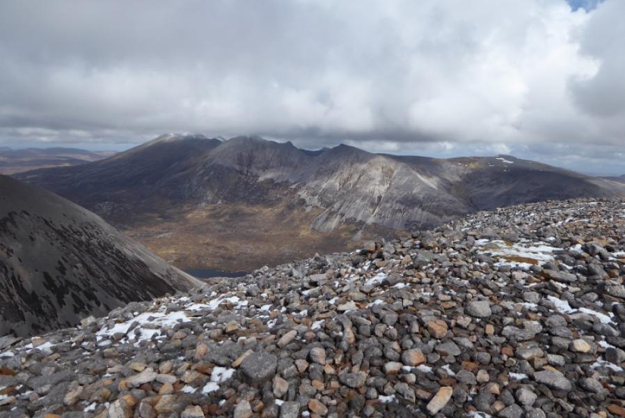
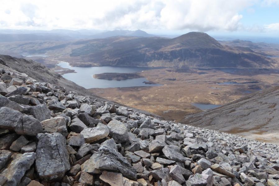
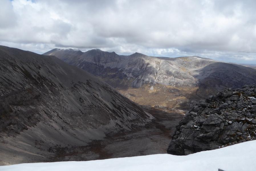
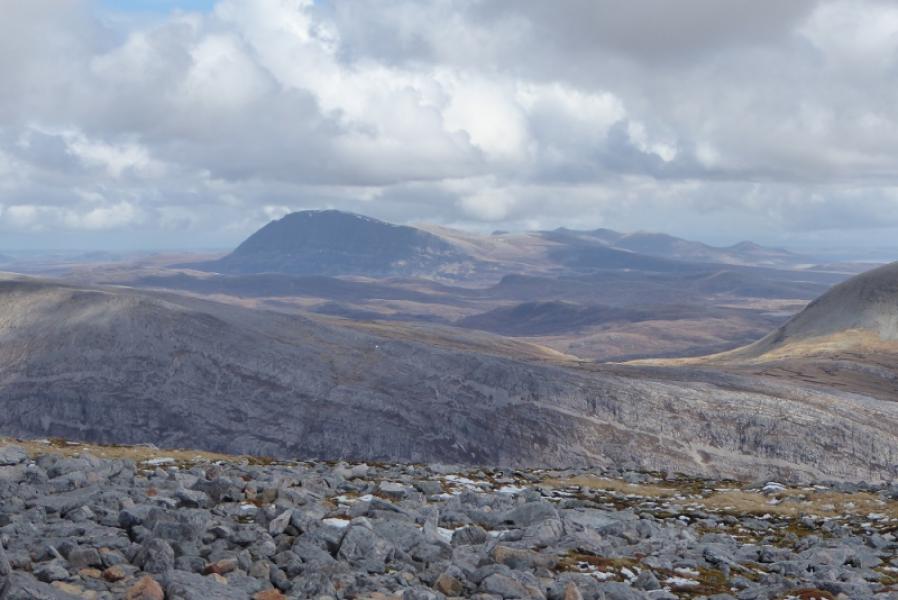
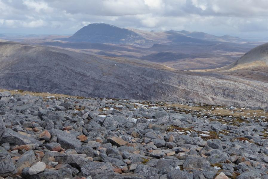
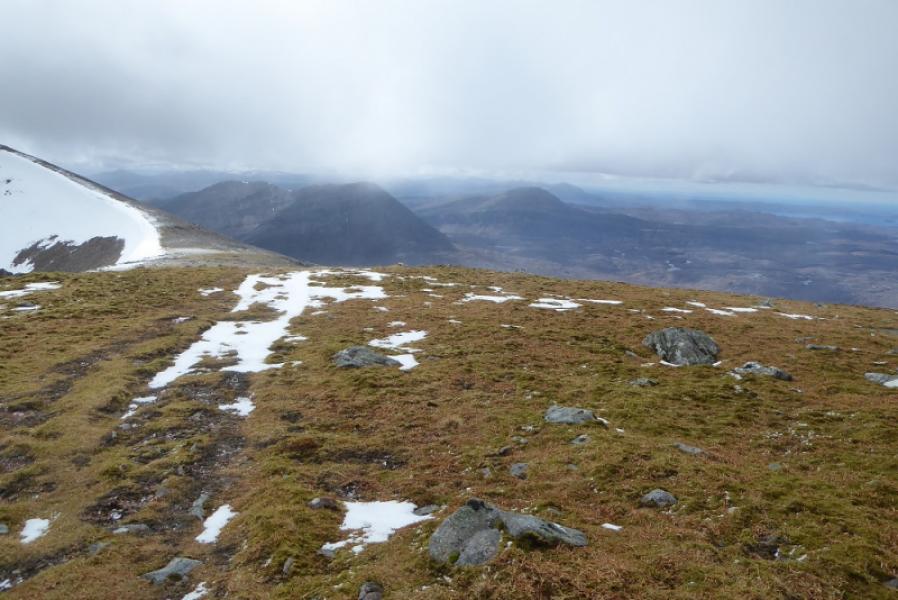
This is a tough walk but, on a clear day, there are excellent views to Ben Stack, Meall Horn, Ben Hope and Foinaven.
Route
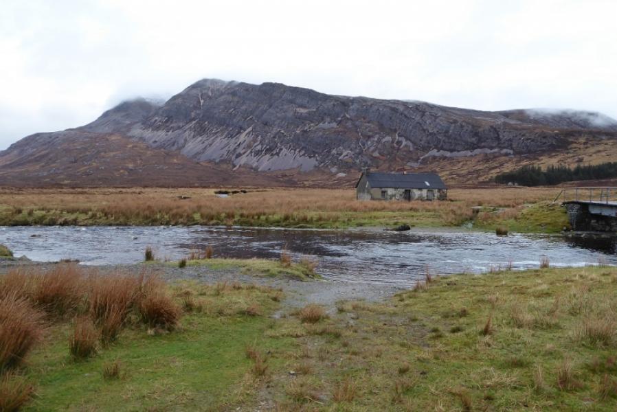
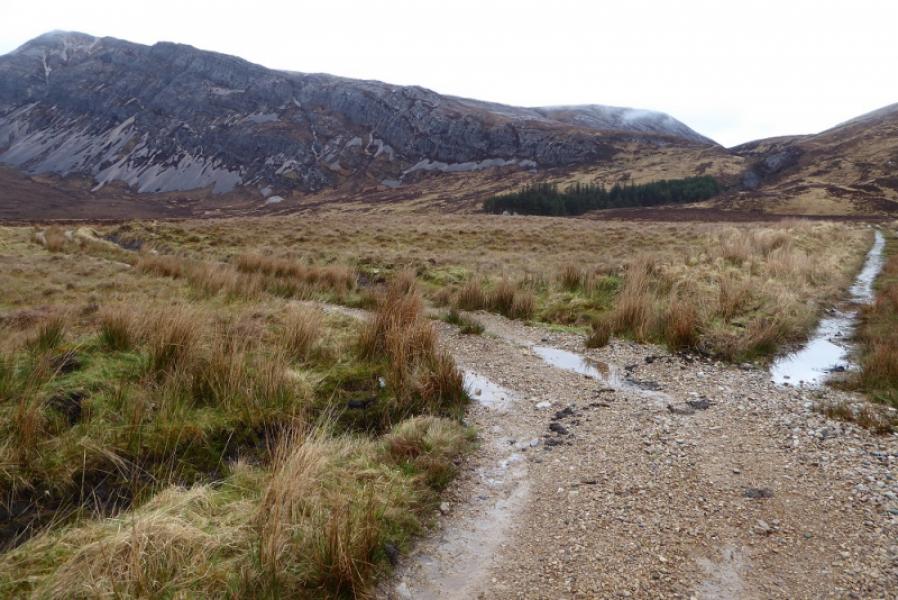
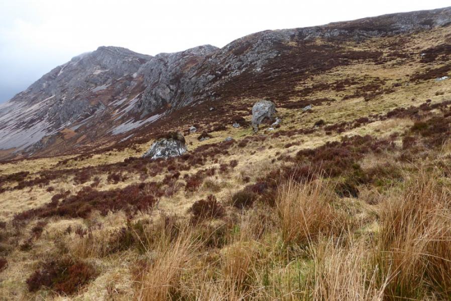
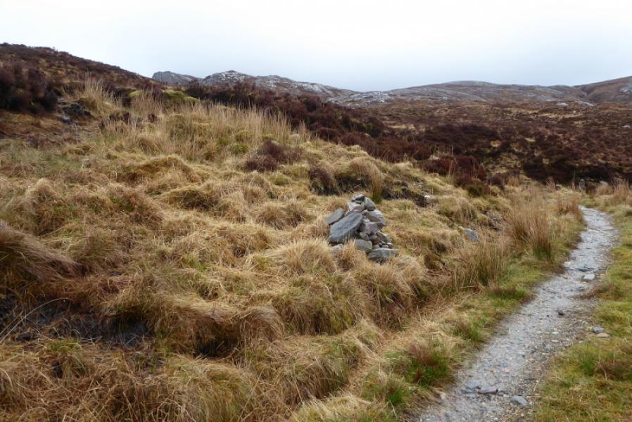
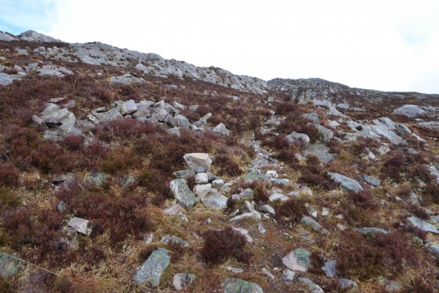
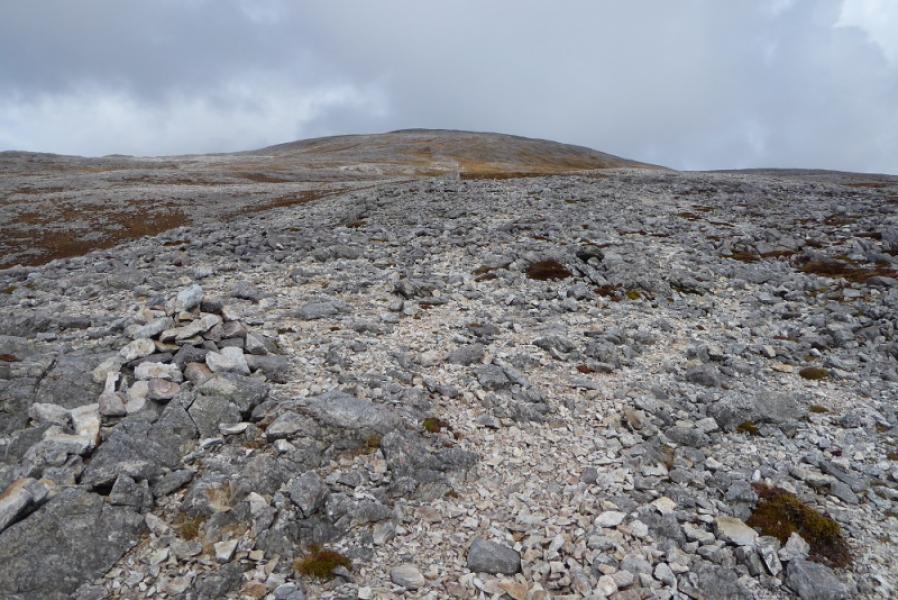
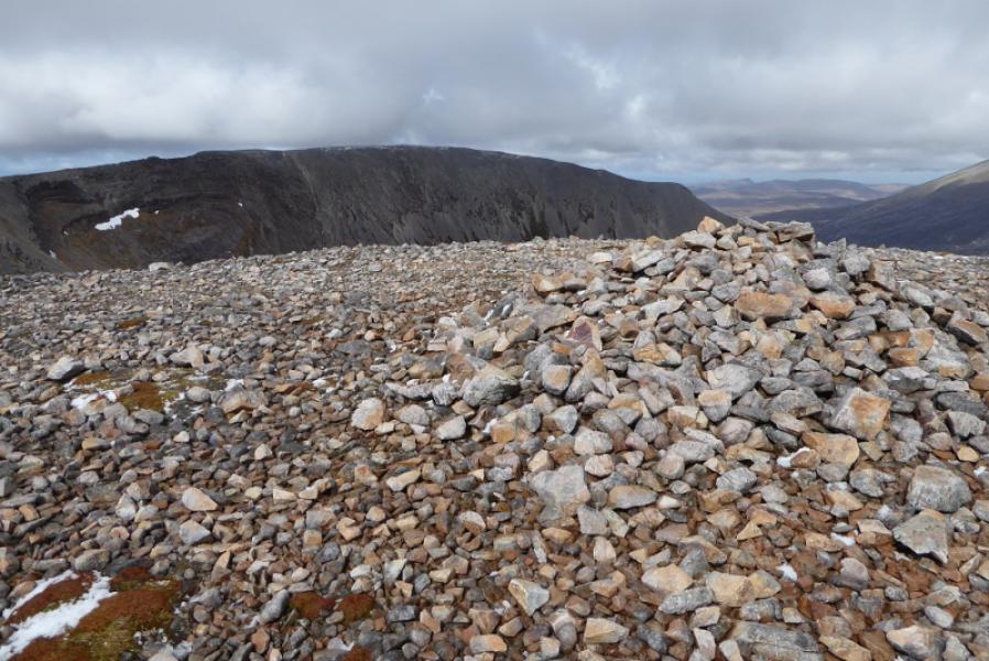
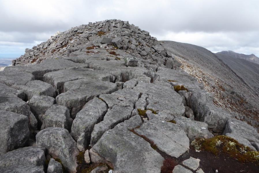
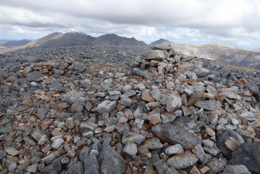
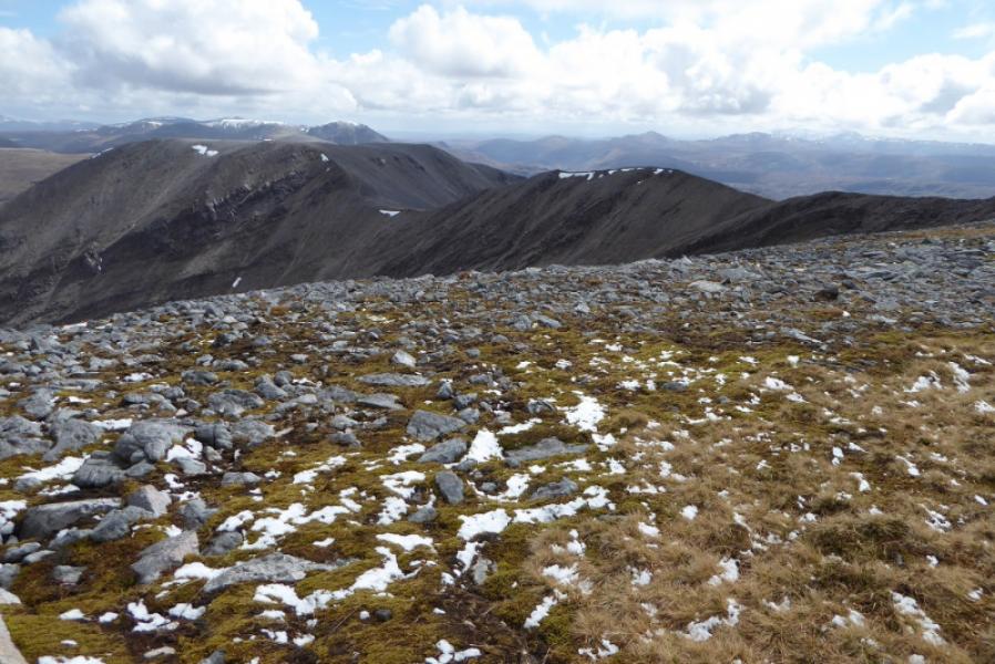
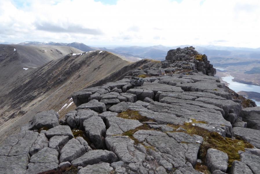
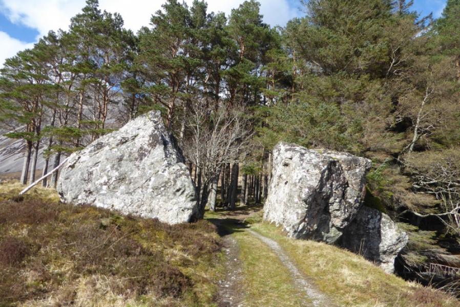
(1) Walk up the track to the barn then old cottage at Lone. When the track splits, take the left fork. This leads to an old wood with its entrance guarded by two giant boulders. Soon after, the track steepens and leads up to shadow the Allt Horn. When the track levels out, there is a cairn soon after for the path up Arkle which initially goes through peaty grass before starting up the quartzite strewn grassy slopes towards Meall Aonghais. The path becomes hard to follow amongst the quartzite so note carefully its location a sit can be hard to find in descent. Continue up, roughly N. Either go to Meall Aonghais (cross stream) then ascend NW or gain the ridge on the left of the stream which leads all the way to the medium cairn of the SE Top. Descend roughly NW, past a smaller cairn, then down a rough quartzite path to a col. Continue up the other side and follow the curving crest. This is very rocky in places. Hands will be needed although it isn't really scrambling. Once past the rocky sections, stony ground leads to the medium cairn which is the summit of Arkle, 787 m.
(2) Retrace the route of ascent making sure you locate the path lower down.
Notes
(a) This walk took place on 27th April, 2018, and about 12 years earlier
Photos - Hover over photo for caption. Click on to enlarge. Click on again to reduce.