Get Lost Mountaineering
You are here: Scotland » 16 Coigach to the Pentland Firth » Lairg to Laxford Bridge to Tongue
Foinaven via Ceann Garbh from near Gualin House
Foinaven via Ceann Garbh from near Gualin House
Start/Finish
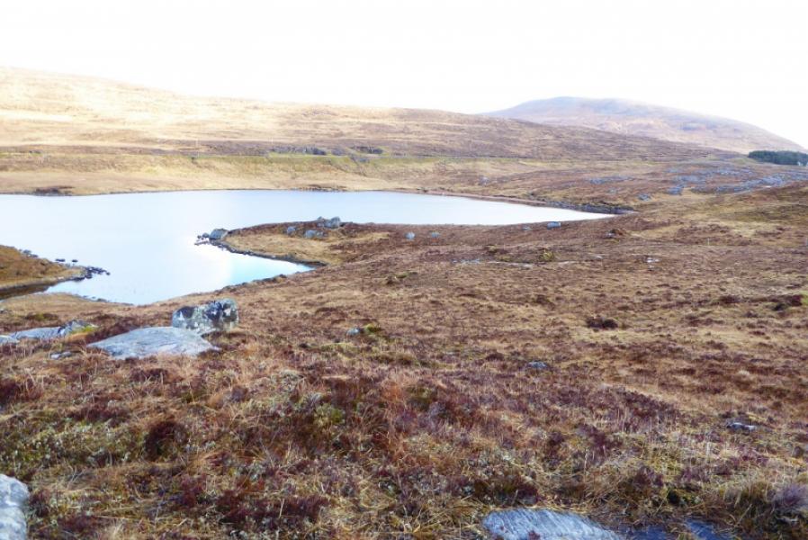
Parking spot (holds 3 cars at right angles to road) to S of Gualin House and near NE end of Loch Tarbhaidh, the prominent loch just below the road. Gualin House is on the A838 road between Rhiconich to Durness road about 4 miles north of Rhiconnich and about 12 miles south of Durness.
Distance/Time
18 km. About 7 – 8 hours.
Peaks
Foinaven, Ganu Mor, 914 m, NC 315 507. OS map 9: Cape Wrath
Introduction
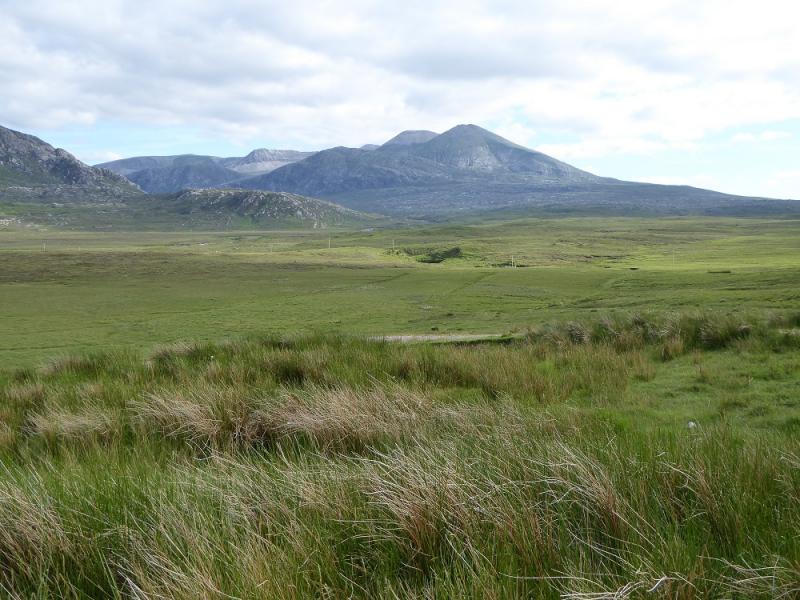
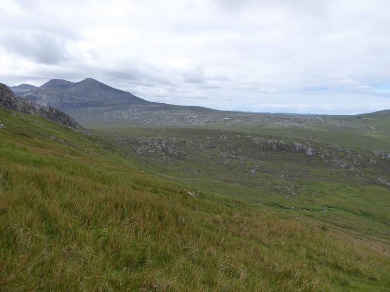
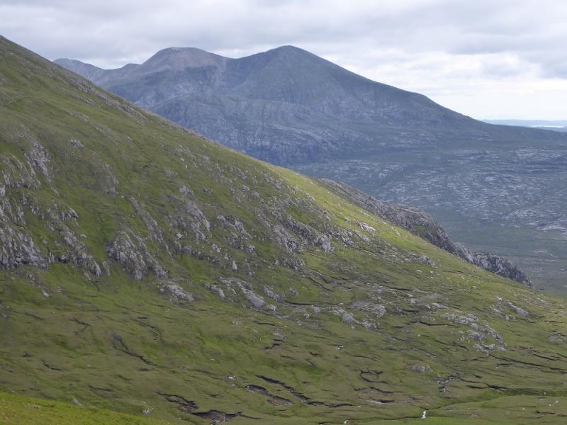
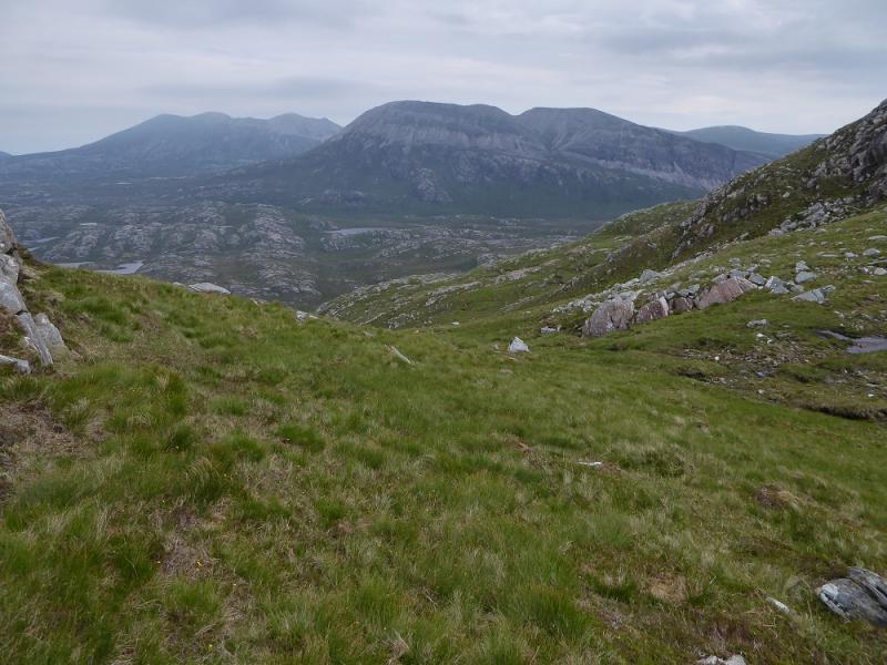
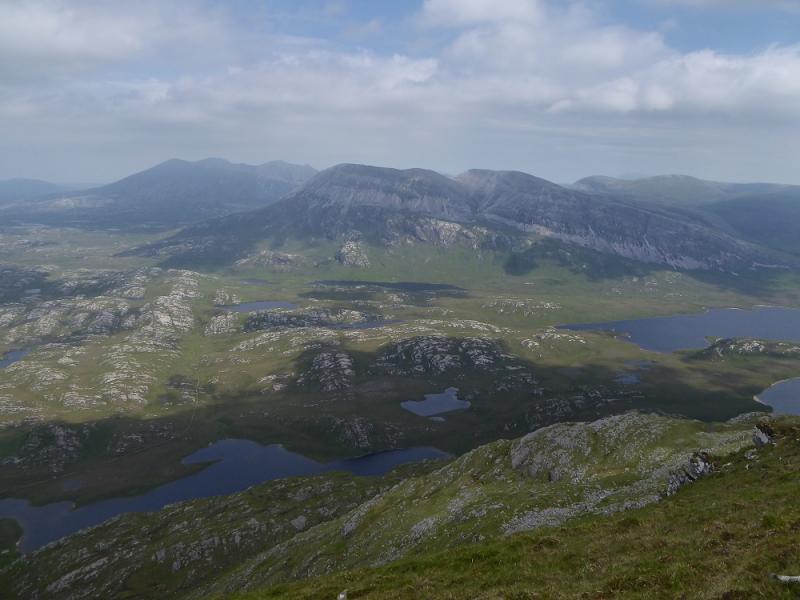
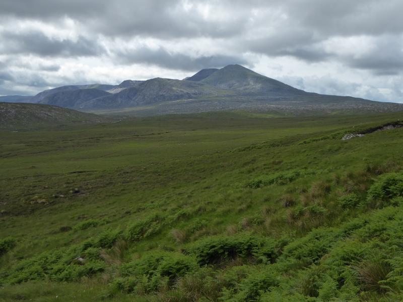
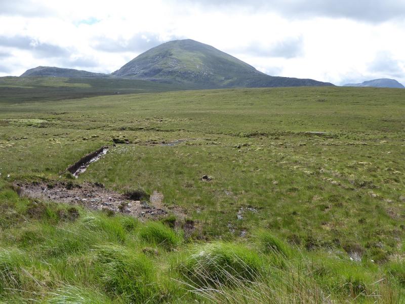
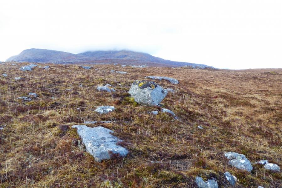
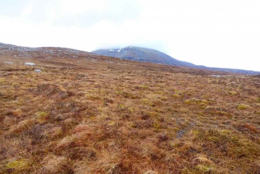
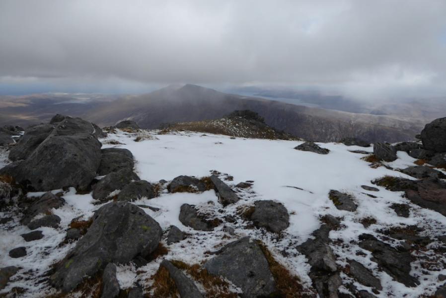
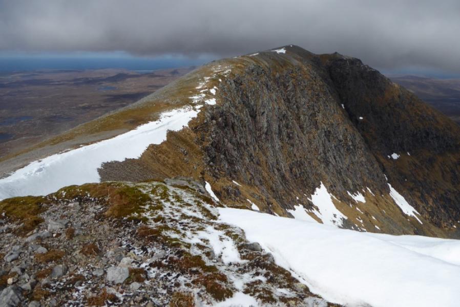
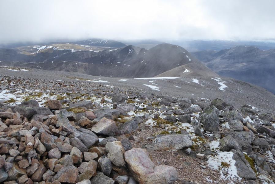
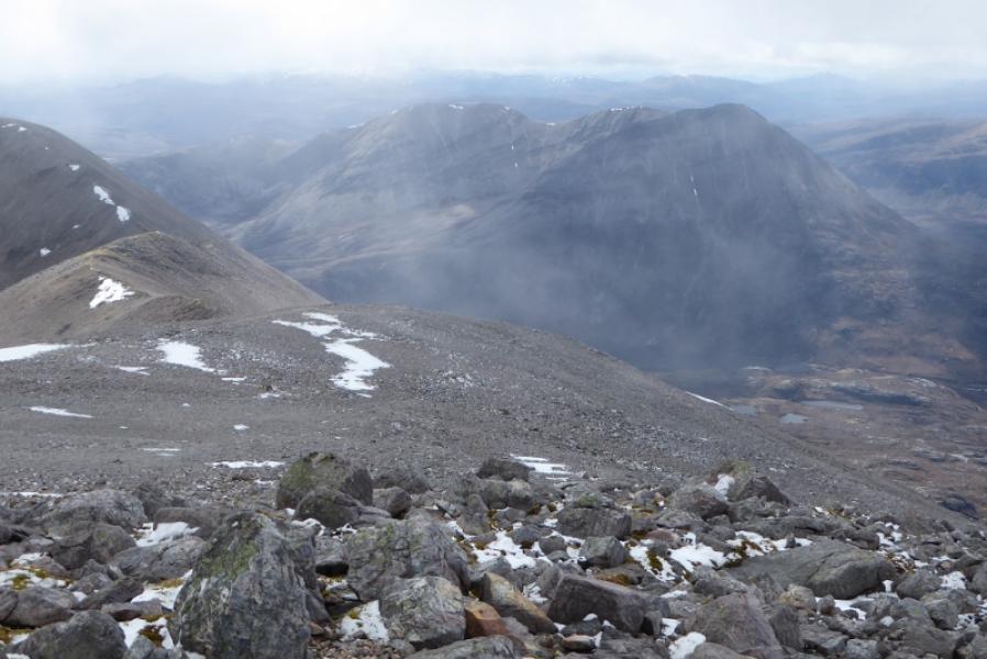
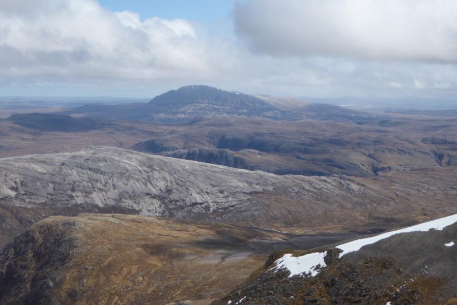
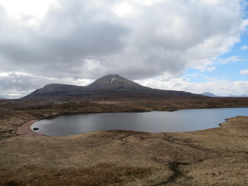
Foinaven is very close to being a Munro and has been repeatedly resurveyed but has never quite made the grade despite coming so close. It is a huge mountain with many ridges. The usual route is from the south end of Loch Stack via the track to Lone then along its undulating south ridge but this is a very long expedition if one has to retrace the route of ascent. The route below is the shortest to the summit although it does involve crossing about 4 km of rough pathless moorland. Some guidebooks dismiss this route saying the moorland is very boggy but it isn't. It has some pockets of wetness but the going is not too bad. The ascent of the NW ridge of Ceann Garbh is moderately steep with some boulder fields although most of these can be avoided. On a clear day, the views are spectacular and include Arkle, Ben Stack, Ben Hope, Beinn Spionnaidh and Cranstackie not to mention the rugged coastline. Save this ascent for a good day to enjoy the views.
Route
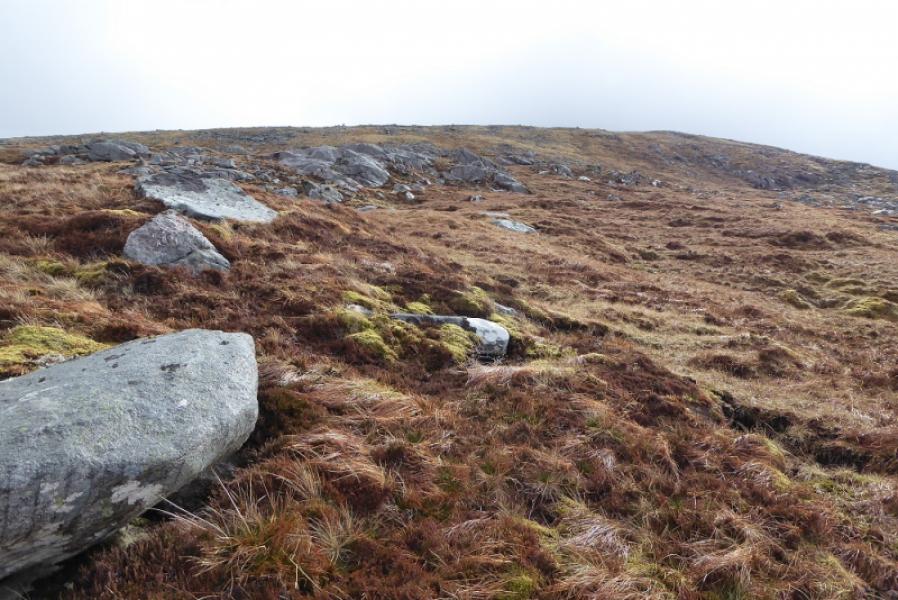
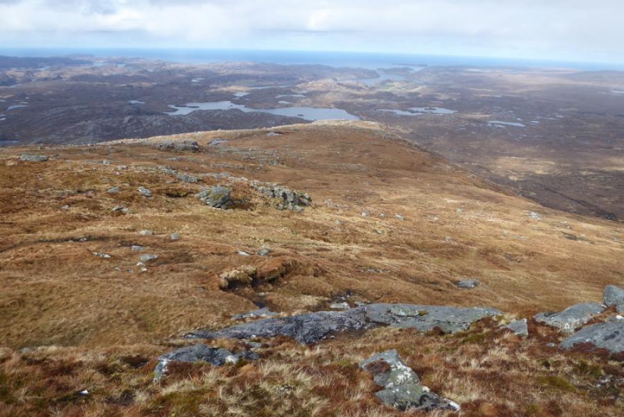
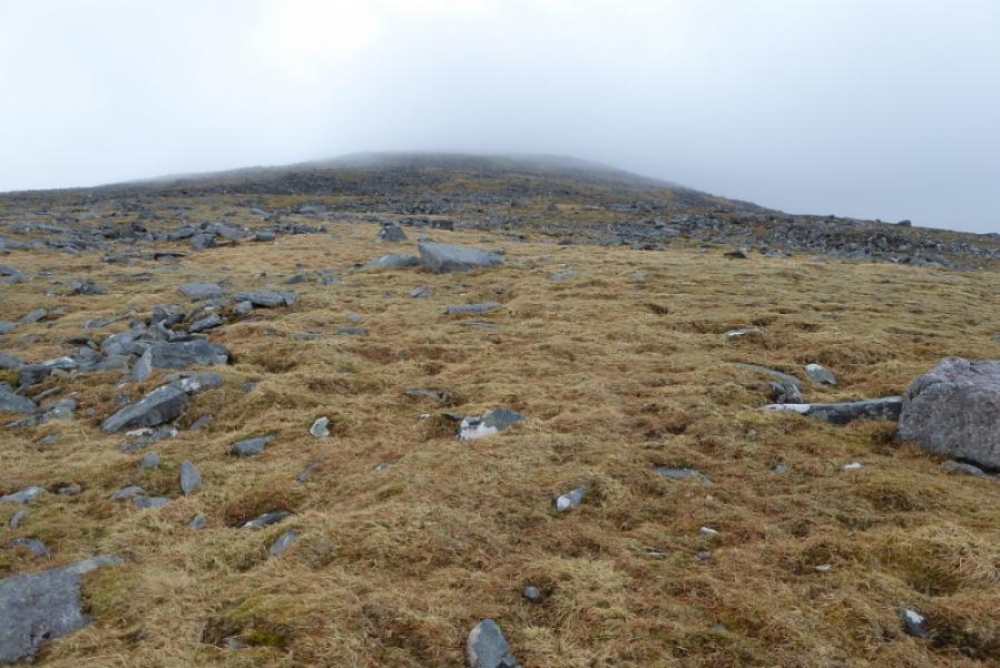
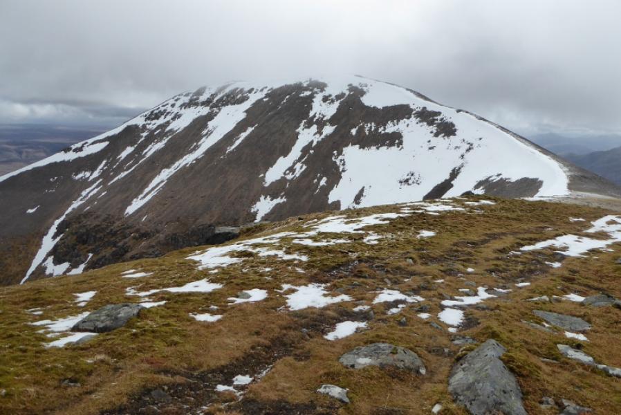
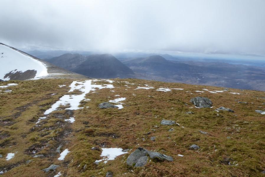
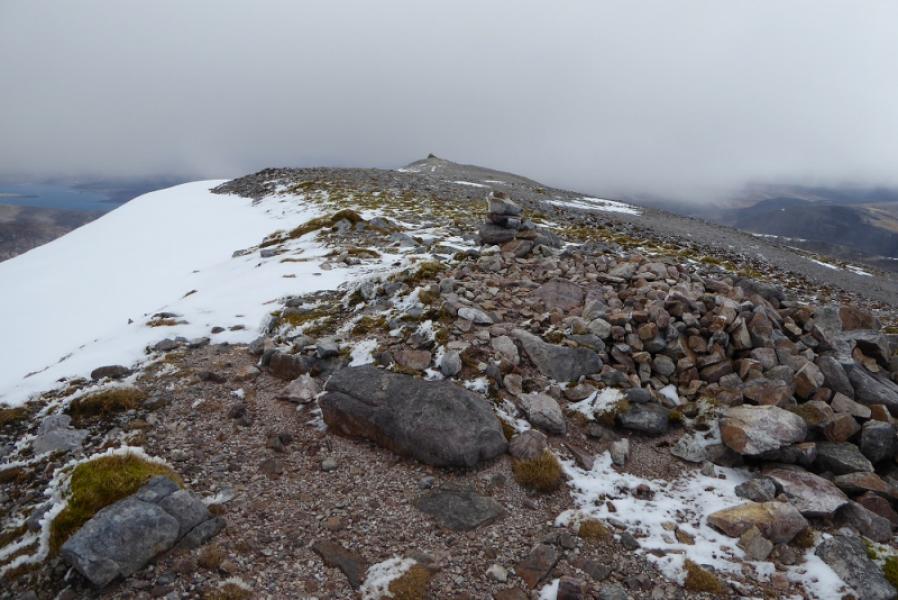
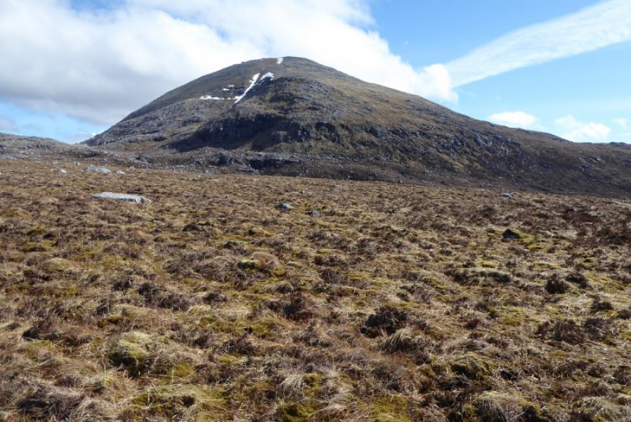
(1) From the road, drop down the steep bank and go around the N end of Loch Tarbhaidh then head roughly S, skirting around many small lochans, heading for the level section of Creag na Claise Carnaich which is the lower section of the NW ridge of Ceann Garbh. If it is clear, this will soon be obvious as it is a fairly level ridge. The going underfoot is pathless but not too rough or wet. Aim to gain the ridge at its E end just before it steepens. Once on the ridge at about 500 m, ascend up on moderately steep ground. There are many boulder fields but almost all of them can be outflanked by careful weaving around and one should not have to endure more than about 10 m of boulder field at a time. After about 400 m of ascent, reach easier ground and a large cairn which is the summit of Ceann Garbh, 901 m.
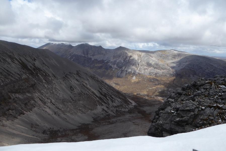
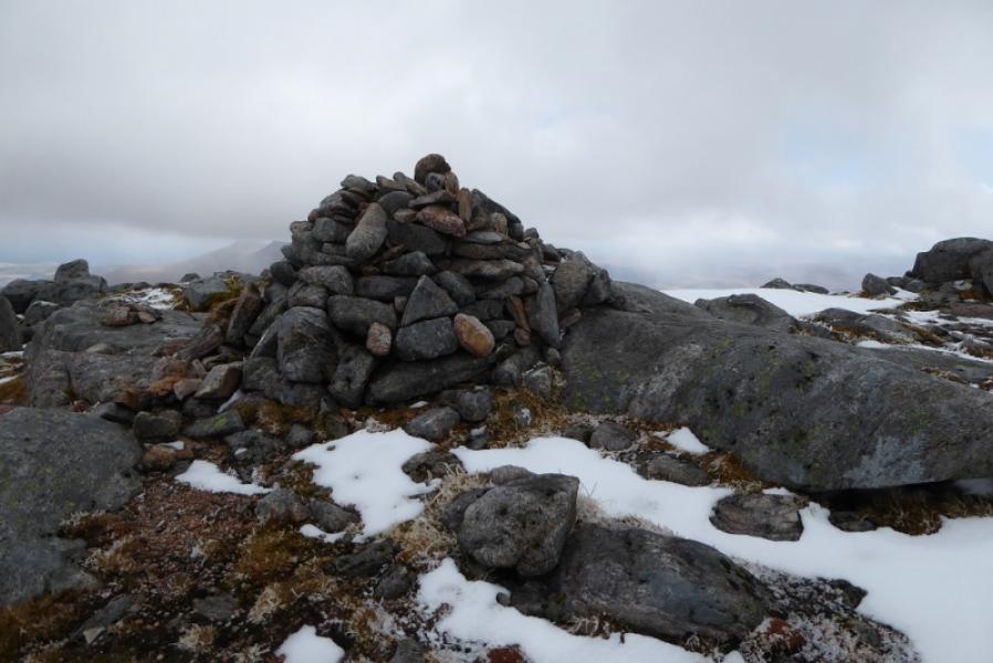
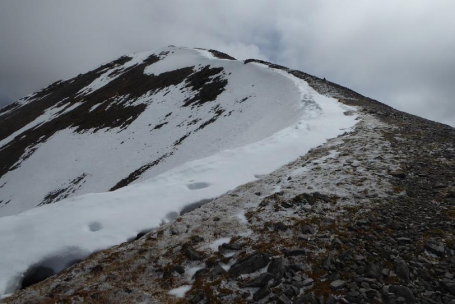
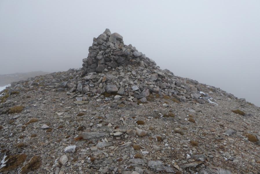
(2) Descend S following the edge of the corrie to a shallow col then ascend the path up to a small cairn then, about 300 m further, a large cairn. One of these is the summit of Foinaven, Ganu Mor, 914 m. Visual observations on the ground suggest the smaller cairn may be the higher.
(3) Retrace the outward route. Be careful not to stray to the N as the level ridge of Creag na Claise Carnaich is neared as there are awkward crags barring an easy direct descent.
Notes
(a) This walk took place on 28th April, 2018, and about 20 years earlier via Lone.
Photos - Hover over photo for caption. Click on to enlarge. Click on again to reduce.