Get Lost Mountaineering
You are here: Scotland » 00 Galloway and the Borders » Culter Fells and Tinto
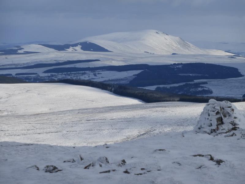
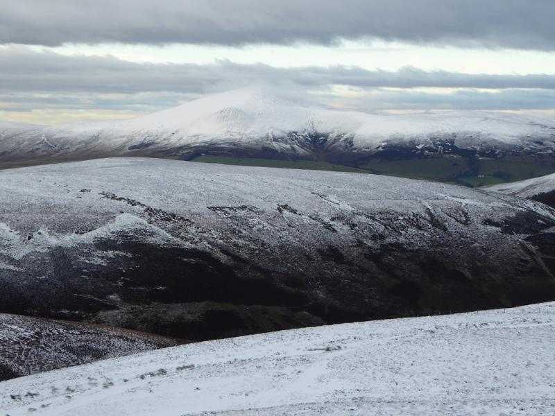
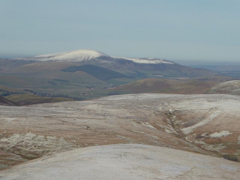
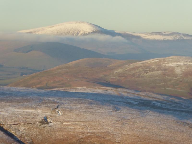
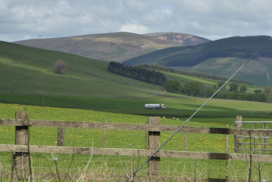
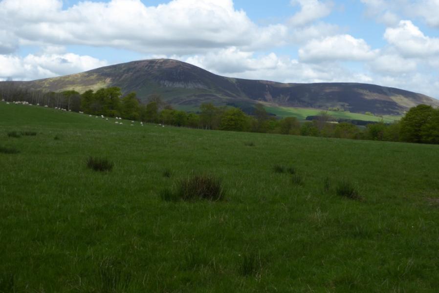
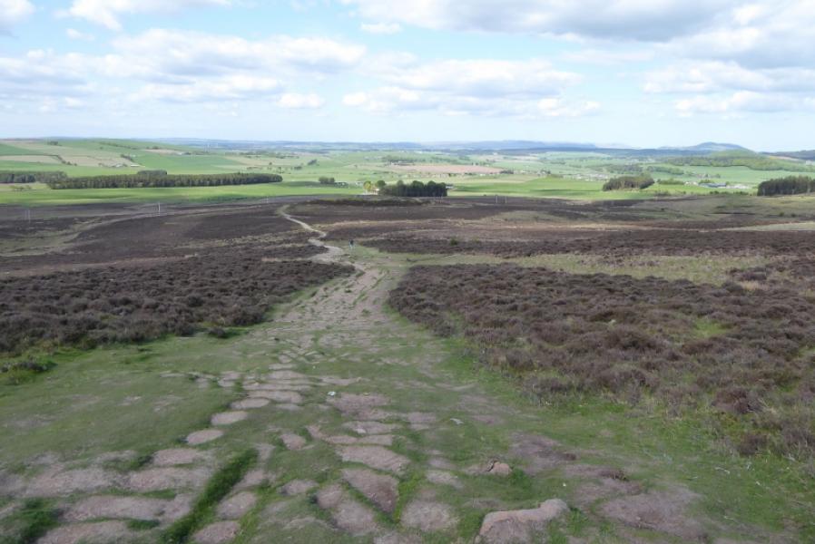
Tinto from the North
Tinto from the North
Start/Finish
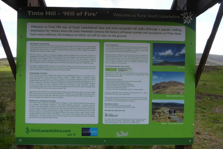
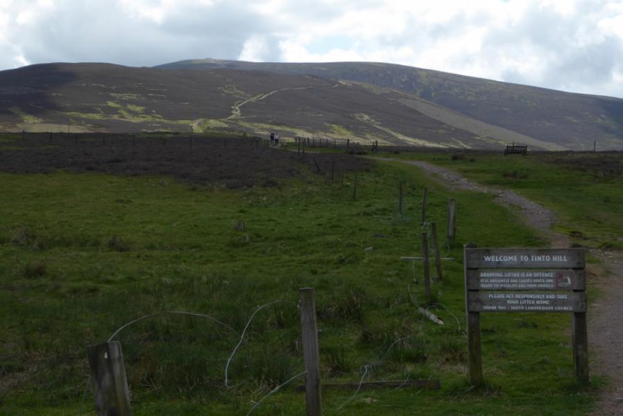
Tinto car park which is up the minor road off the A73 which starts at the Tinto Hill Cafe, at the hamlet of Failburn. The post code of ML12 6PD should take you to somewhere on the road between the cafe and the car park. The cafe is about 9 miles north of Abington on the A73 and about 6 miles south of Lanark. It is a large car park but can soon fill up as Tinto is a very popular hill. The cafe has many good reports but check its opening hours if you intend to use it.
Distance/Time
7 km. About 2 – 3 hours.
Peaks
Tinto, 711 m, NS 953 343. OS Explorer sheet 335: Lanark & Tinto Hills.
Introduction
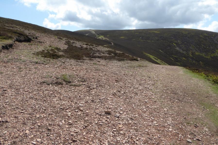
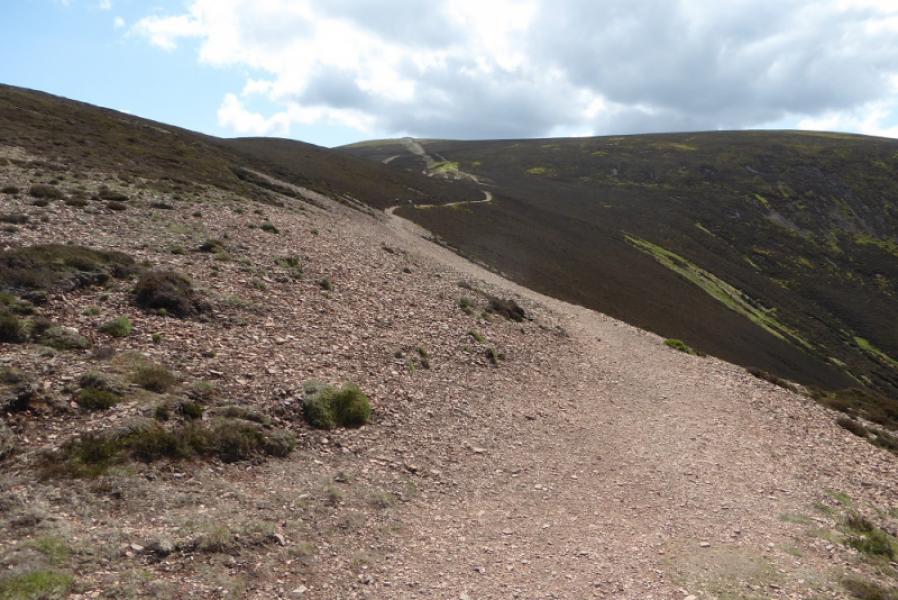
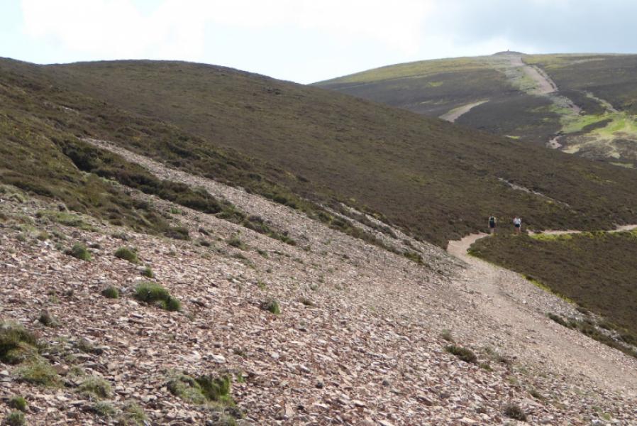
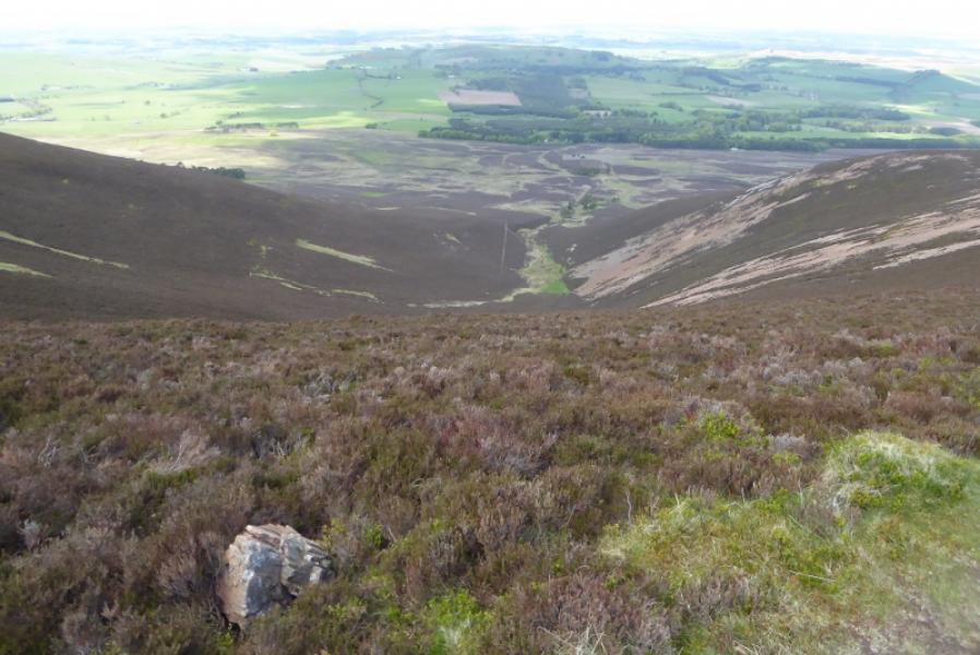
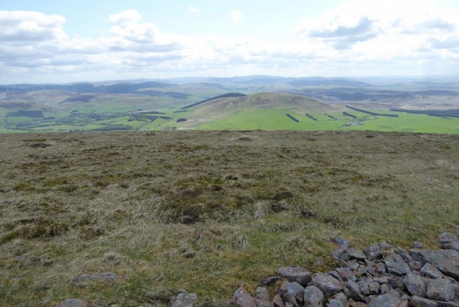
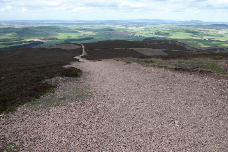
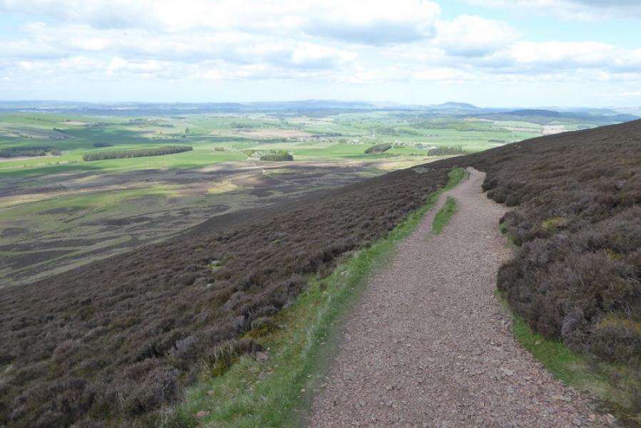
This is a high moorland hill seemingly on sandstone rock which gives a distinctive colour when seen from a distance. Tinto is a solitary peak and dominates the surrounding countryside with good views in all directions. The path is one of the most obvious in Scotland but is moderately steep in places so casual walkers may take longer than the time quoted.
Route
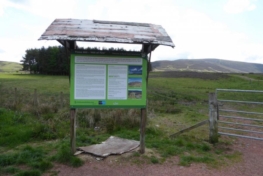
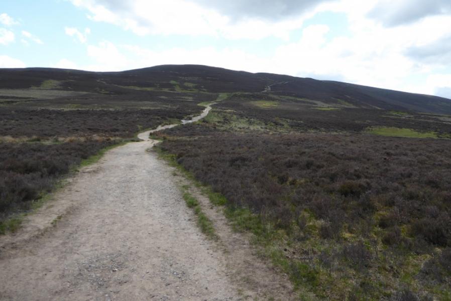
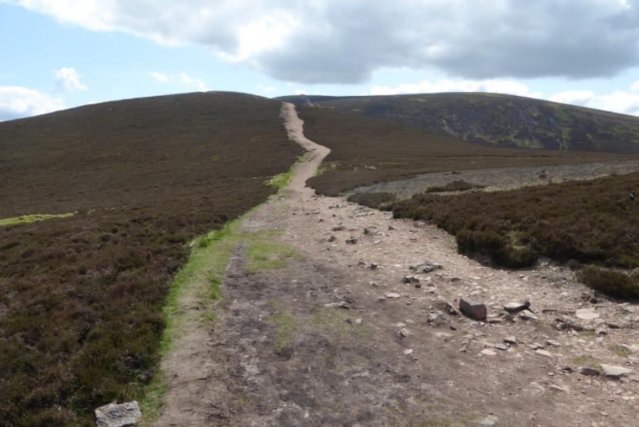
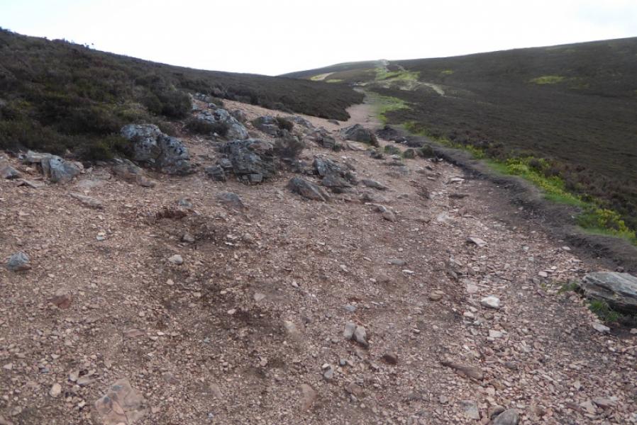
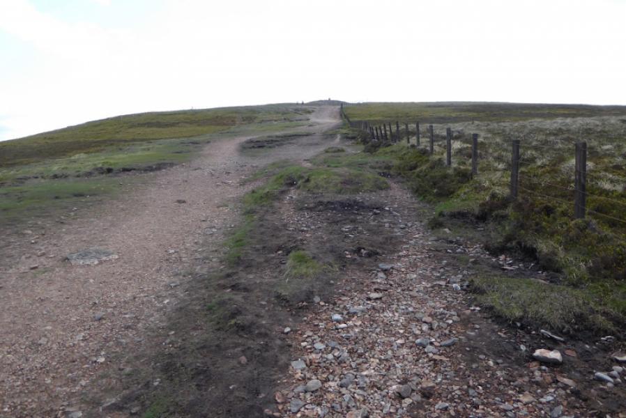
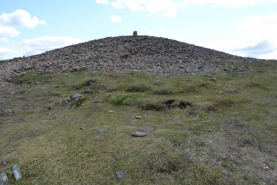
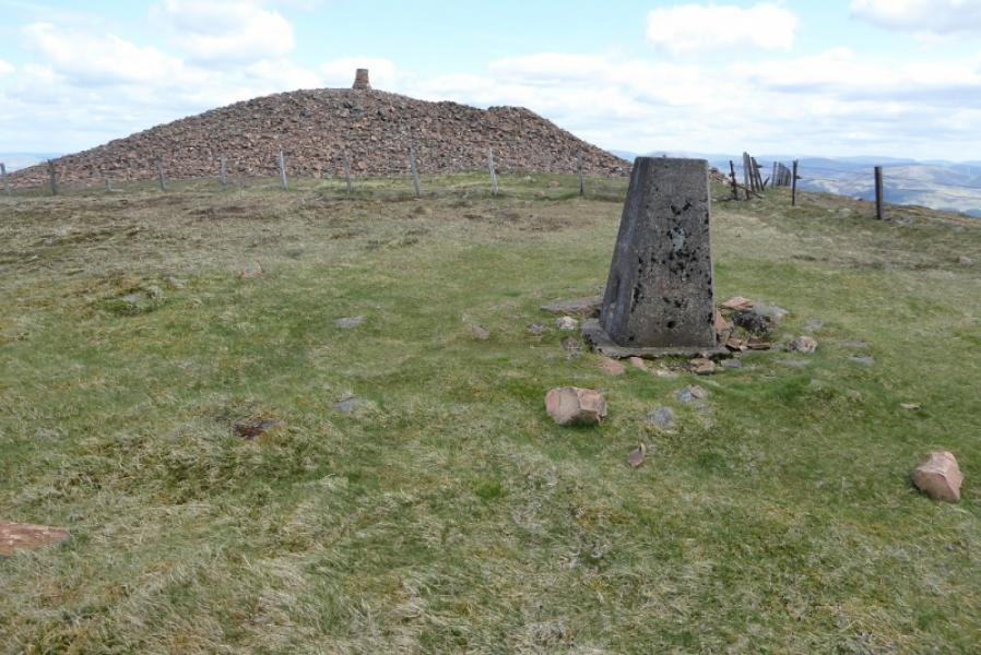
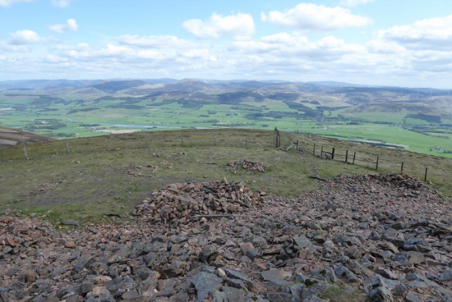
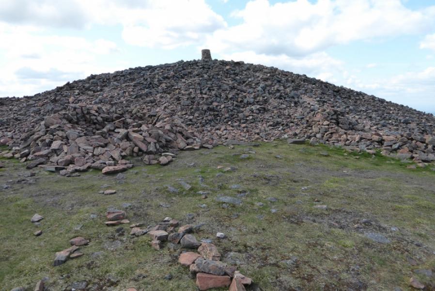
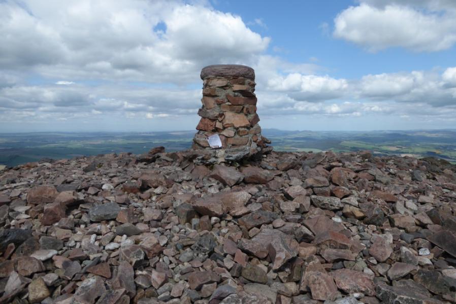
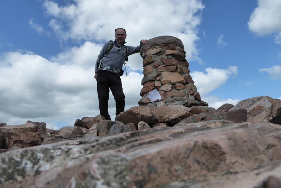
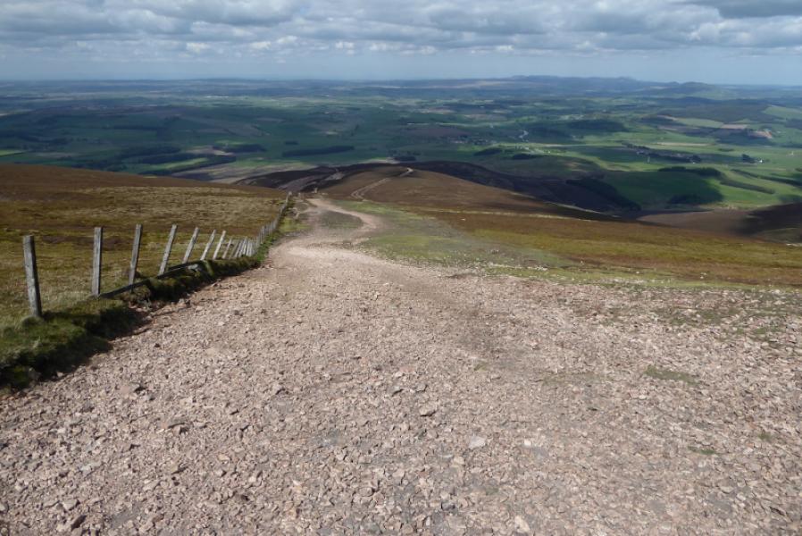
(1) The path (more like a track) starts at the gate by the information board in the car park. Follow it up, gently at first then more steeply then more gently again to where the track swings left. Leave the track here and continue ahead, still on a fairly distinctive path which crosses the top of a large gully known as Maurice's Cleuch. The path then steepens again and rejoins the track with a fence now on the right. Continue up to the massive summit cairn (thought to be prehistoric) with a viewfinder cairn on its top. This is the summit of Tinto, 711 m. There is a trig point, clearly lower, across the fence. Other fences meet just beyond the summit.
(2) Retrace the outward route.
Notes
(a) This walk took place on 17th May, 2018, and about 15 years earlier.
Photos - Hover over photo for caption. Click on to enlarge. Click on again to reduce.