Get Lost Mountaineering
You are here: Scotland » 07 Glen Shee, Cairn O'Mount and Glen Clova to Glen Esk » Glas Maol Hills to Blairgowrie
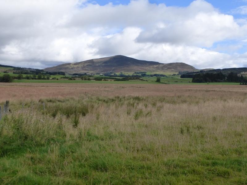
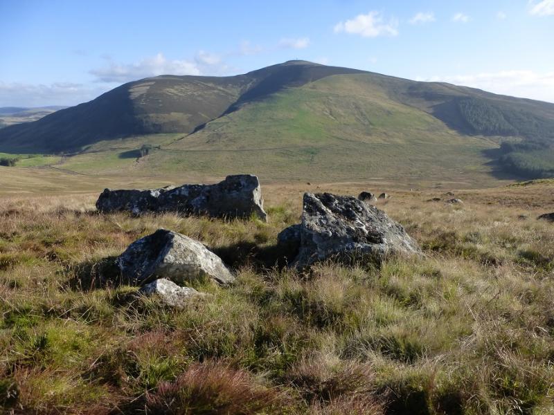
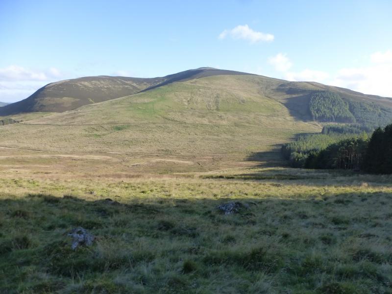
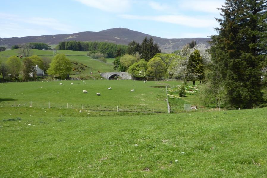
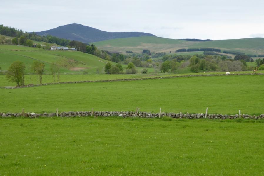
Mount Blair from the North
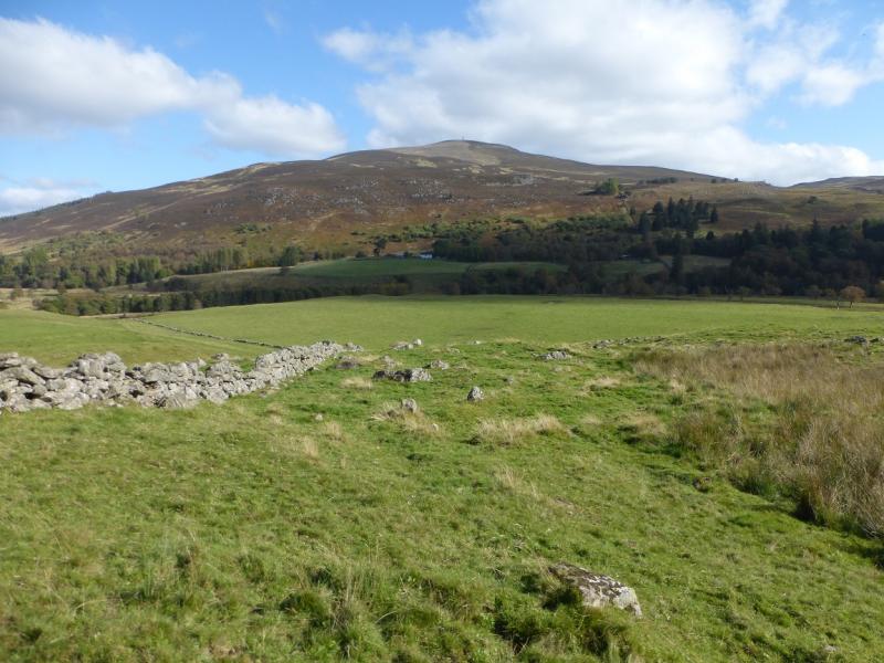
Mount Blair from the North
Start/Finish
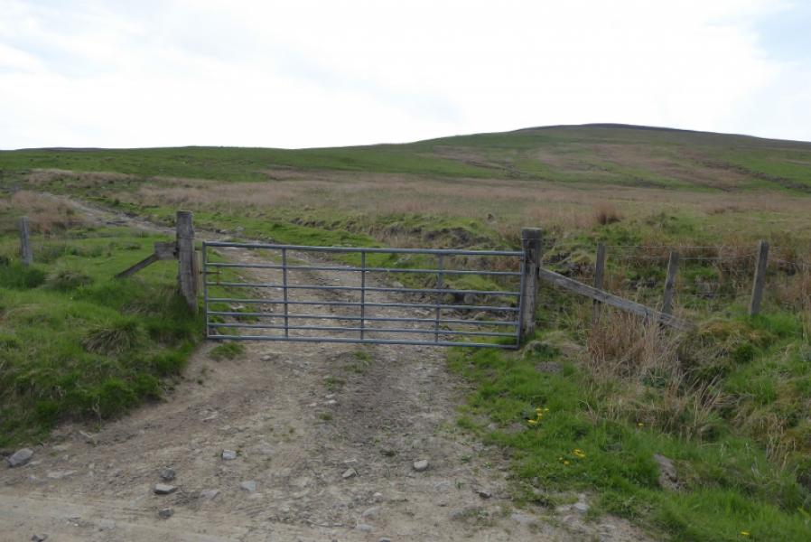
Rough small lay opposite metal gate to the west of Balloch on B951 which connects Kirriemuir to the A93 just to the south of the Spittal of Glenshee. Follow the B951 past the large plantation on the left – about 2 km from A93. The gate is about the highest point on the road and there is an obvious rough track slanting left inside the gate.
Distance/Time
4 km. About 2 – 3 hours.
Peaks
Mount Blair, 744 m, NO 167 629. OS sheet 43: Braemar to Blair Atholl.
Introduction
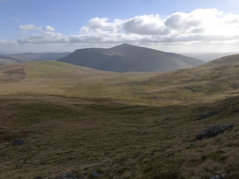
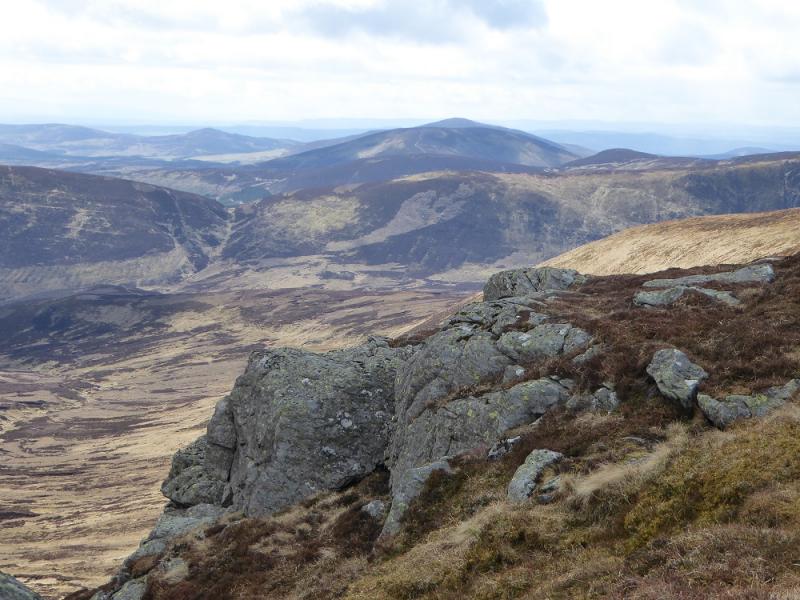
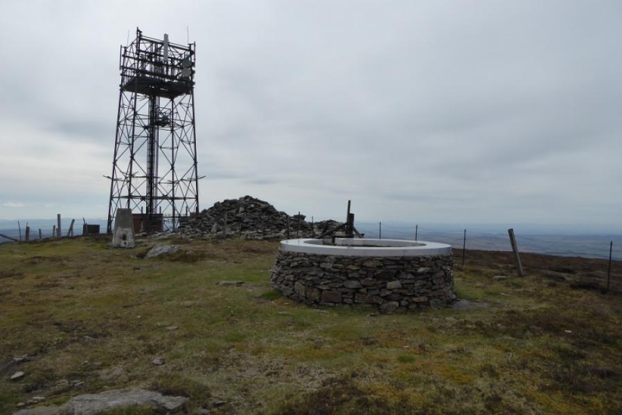
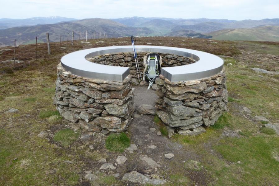
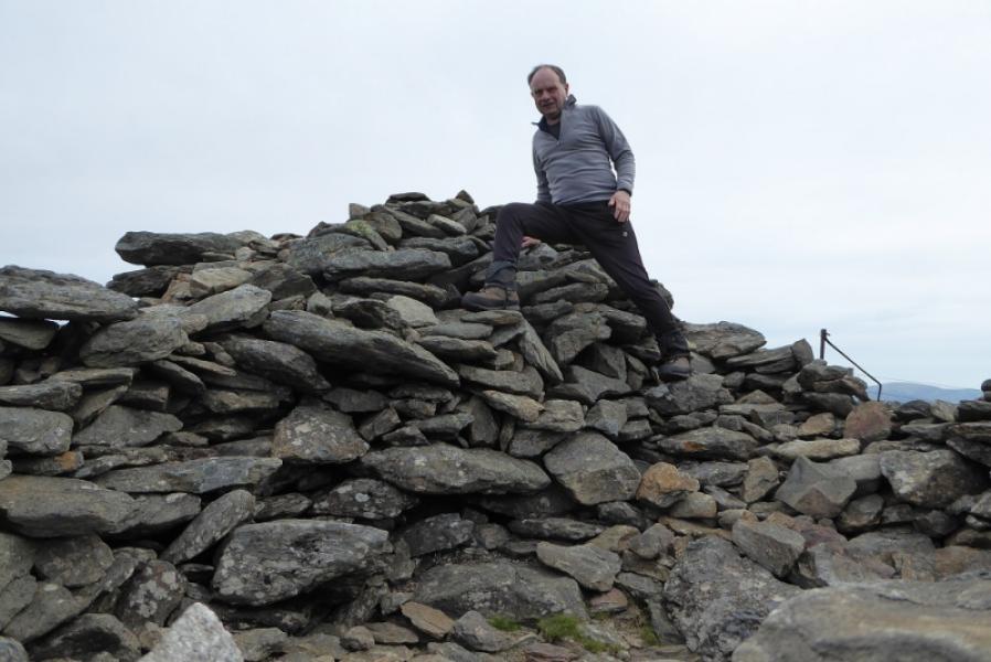
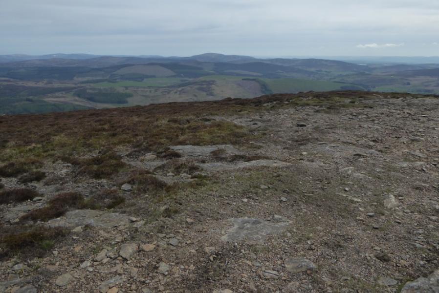
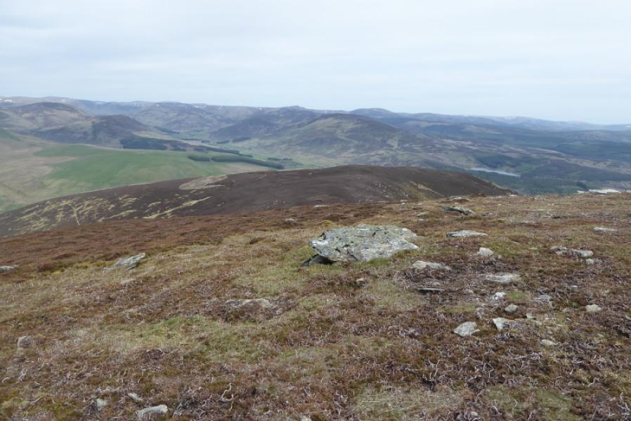
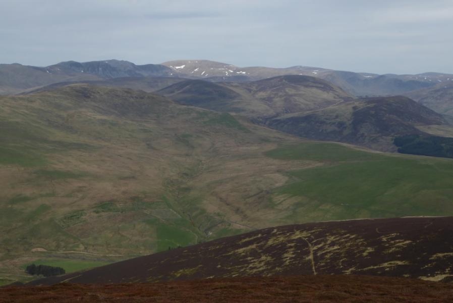
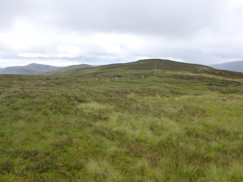
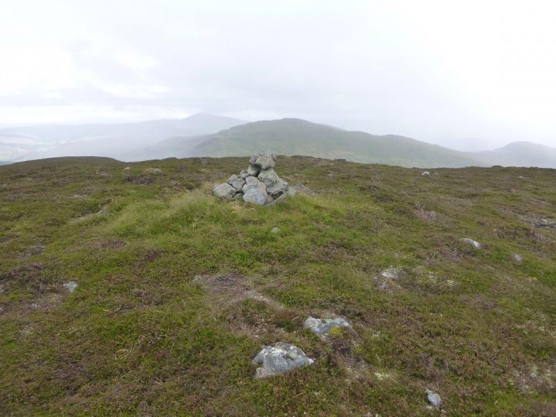
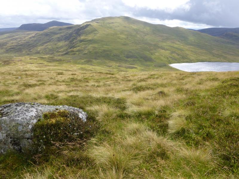
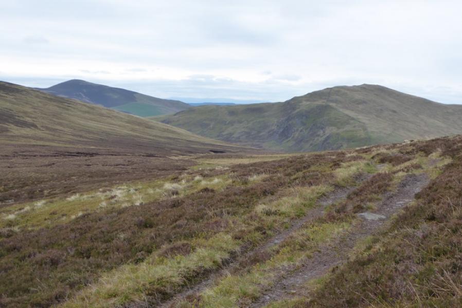
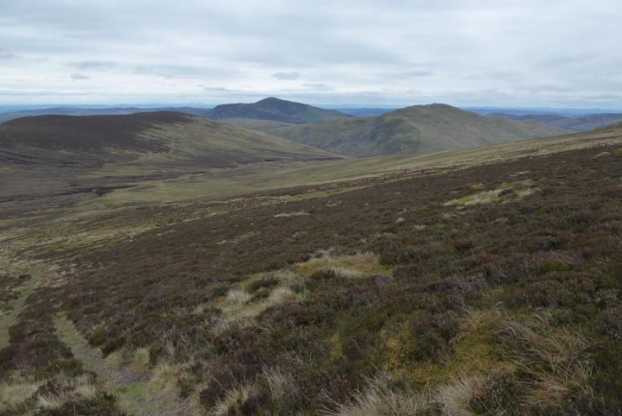
This is a very straightforward walk with good views although the ascent is moderately steep all the way. There are good views to Badandum Hill, Duchray Hill, Monamenach, Creag Leacach and Glas Maol and even to Ben Gulabin,Glas Tulaichean, Cat Law, Mayar & Driesh. In very clear conditions, Ben Vrackie and Beinn a' Ghlo will be seen and some of the Glen Lyon hills. There is a large telcom mast on the summit, a trig point, large cairn and a viewfinder shelter cairn.
Route
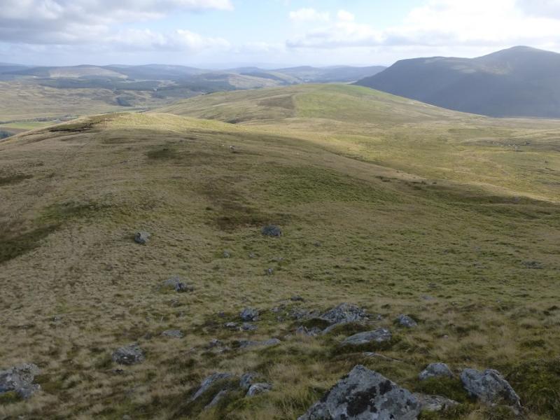
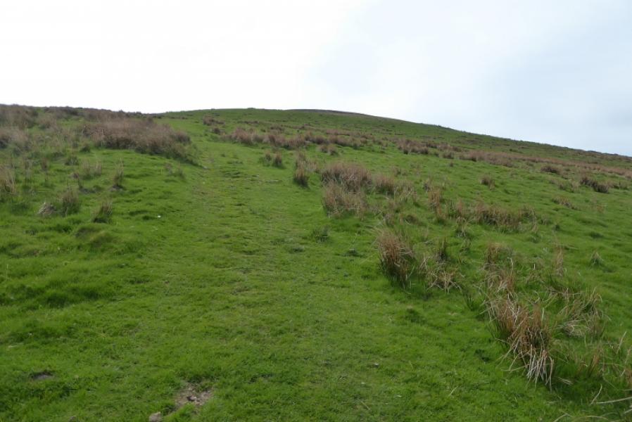
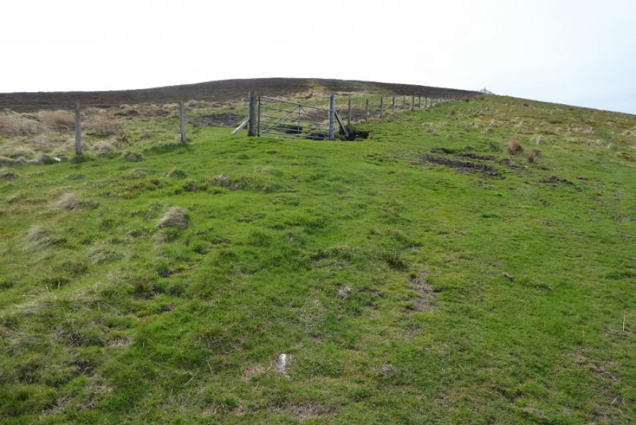
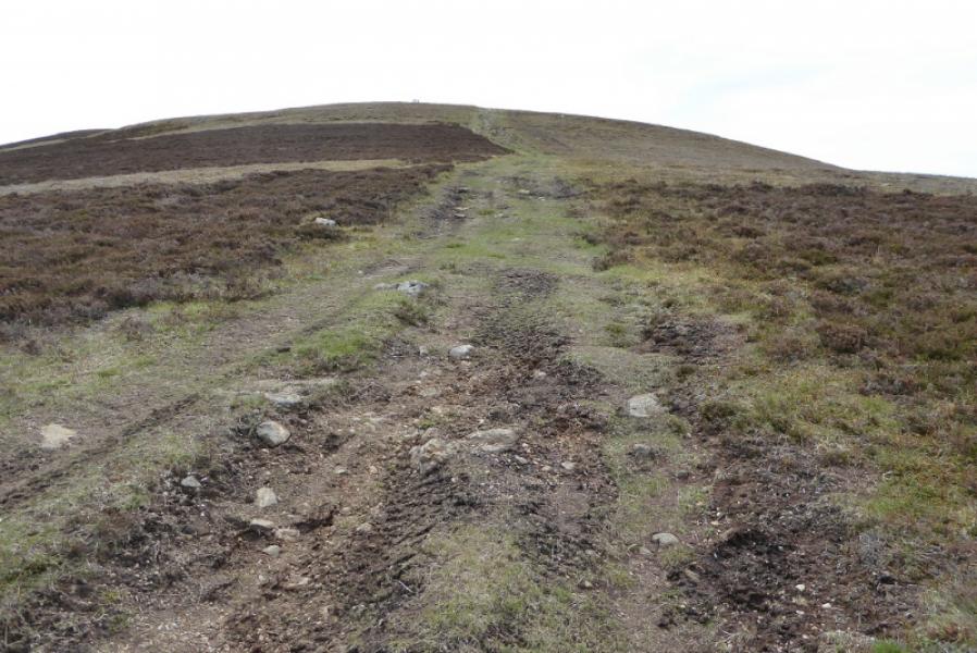
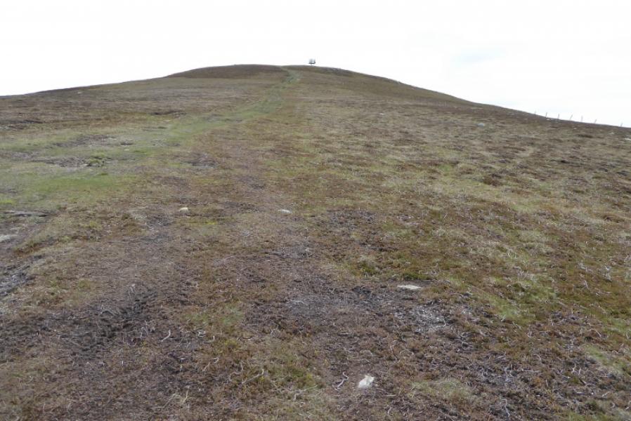
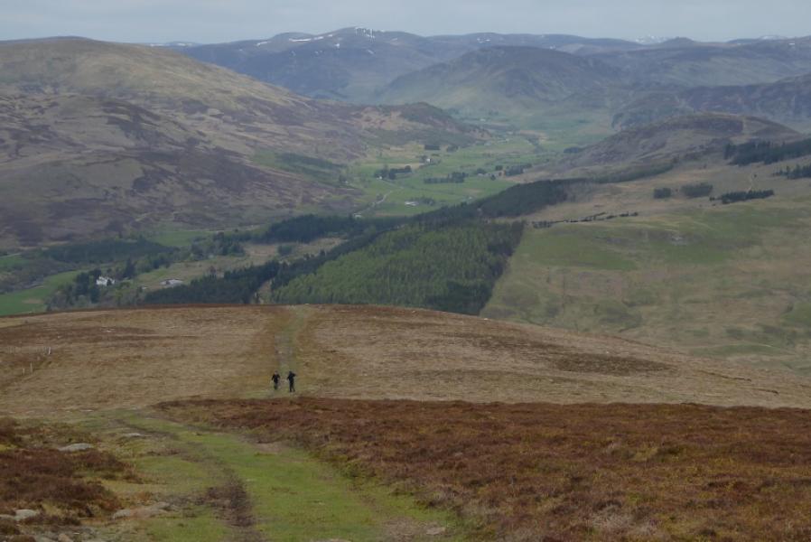
(1) Go through the gate and follow the obvious track which slants left and upwards. The track soon becomes difficult to follow on short grass, almost lawn like. This seems to be because the landowner has restricted vehicle access to the telecom mast on the summit so the track has almost healed itself in places. Higher up, the track passes through a gate and then becomes more distinct. Continue up to reach the summit area. It is difficult to tell whether the highest point is the trig point or the ground under the large cairn but they are less than 10 m apart and one must be the summit of Mount Blair, 744 m.
(2) Retrace the outward route.
Notes
(a) This walk took place on 18th May, 2018, and about 12 years earlier.
Photos - Hover over photo for caption. Click on to enlarge. Click on again to reduce.