Get Lost Mountaineering
You are here: Scotland » 07 Glen Shee, Cairn O'Mount and Glen Clova to Glen Esk » Glen Isla to Mount Keen & Mount Battock
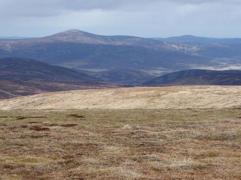
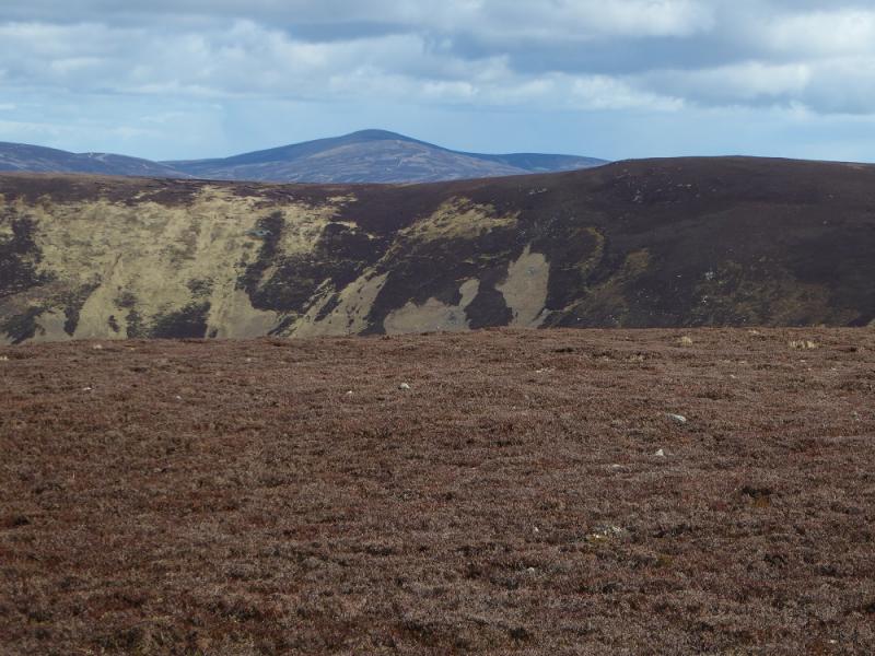
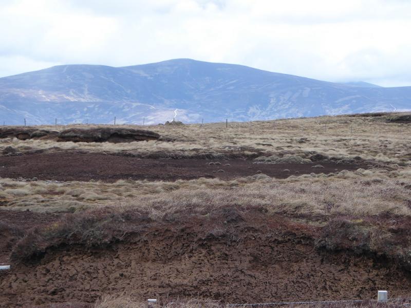
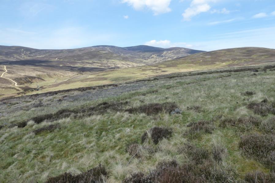
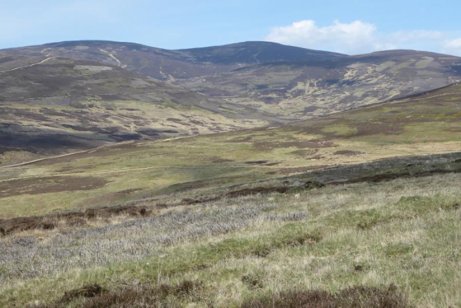
Mount Battock from Fernybank in Glen Esk
Mount Battock from Fernybank in Glen Esk
Start/Finish
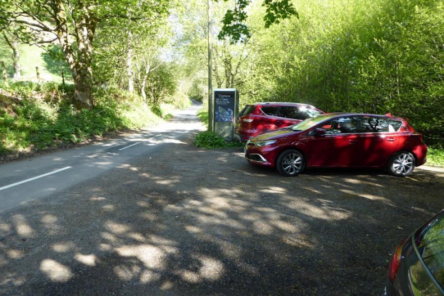
Small car park by telephone box (may disappear soon!) just up the minor road towards the Mill of Aucheen which starts from the west side of the bridge just after Millden Lodge in Glen Esk. This is about 8 miles up Glen Esk from Edzell which is, itself, about 5 miles north of Brechin. Edzell is signed off the A90 dual carriageway from Perth/Dundee to Aberdeen.
Distance/Time
16 km. About 5 – 6 hours
Peaks
Mount Battock, 778 m, NO 549 844. OS sheet 44: Ballater.
Introduction
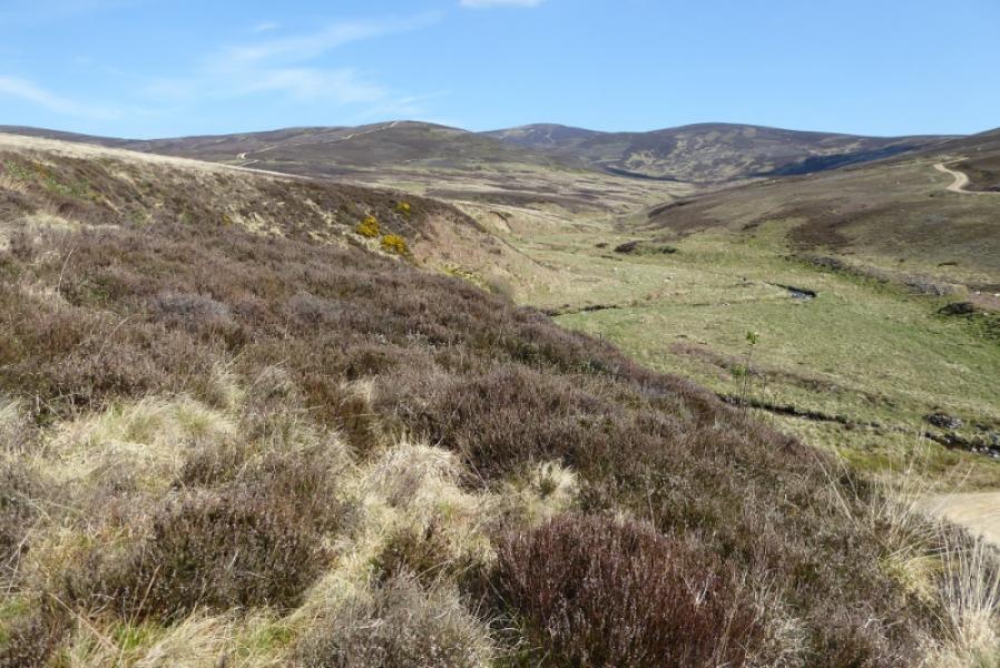
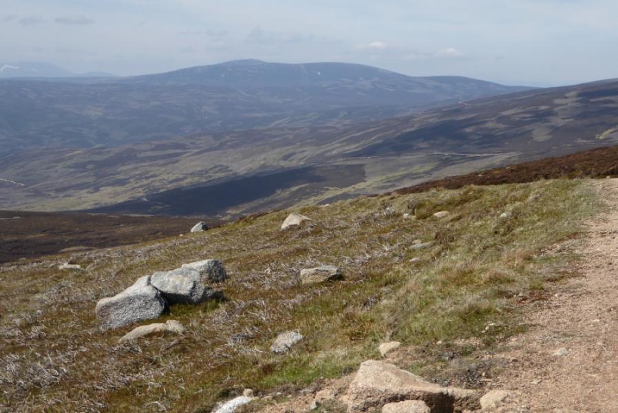
Mount Battock is one of the highest peaks in the vast moorland area to the east of Glen Esk. Good modern tracks make access very straightforward and relatively easy. It is an excellent viewpoint especially to the hIll of wirren which is just the other side of Glen Esk. Mount Keen is usually seem to the west although it is about 15 km away. It would have to be very clear indeed to see the hills in the Lochnagar range which are about 30 km away.
Route
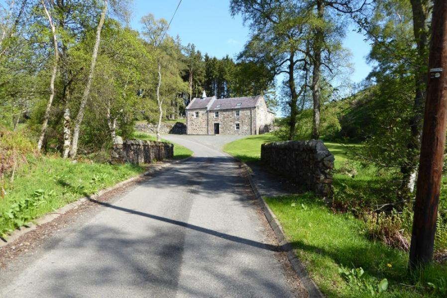
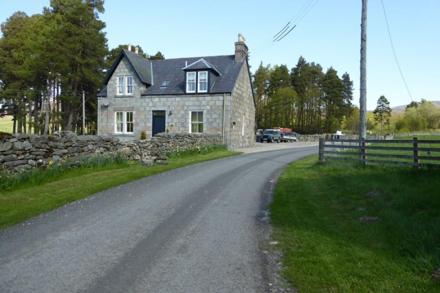
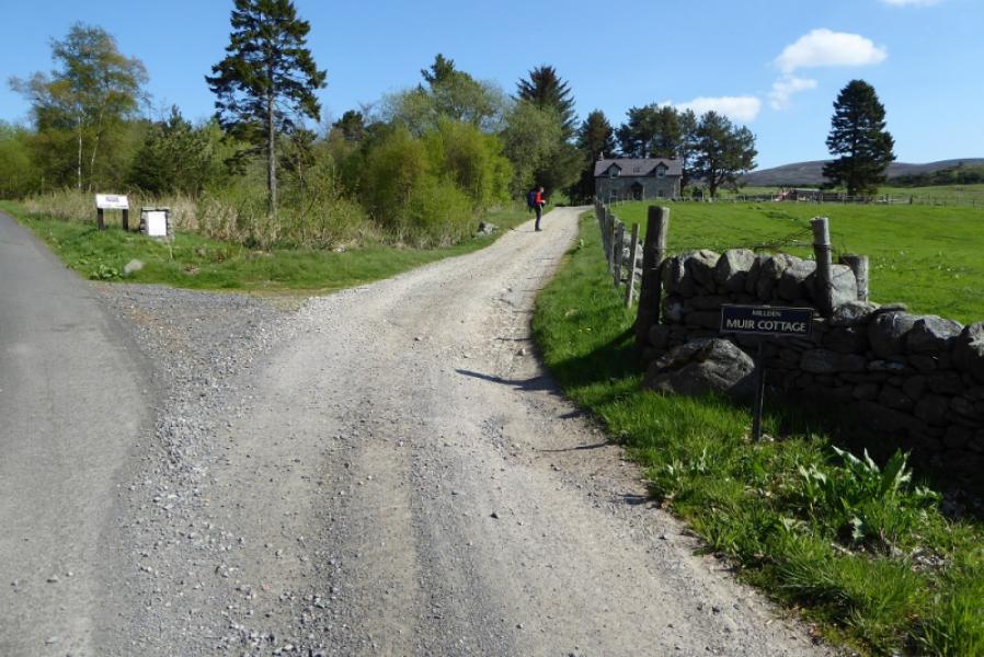
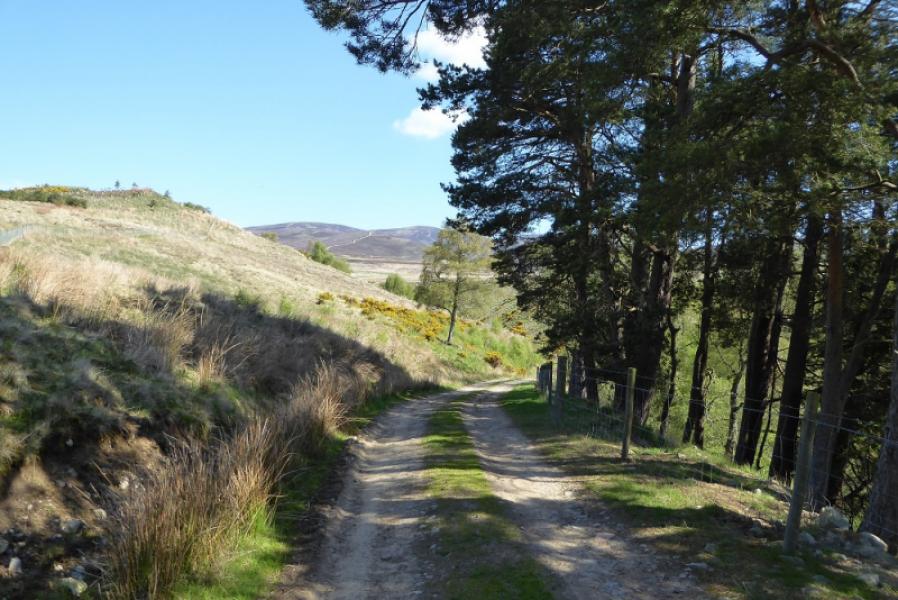
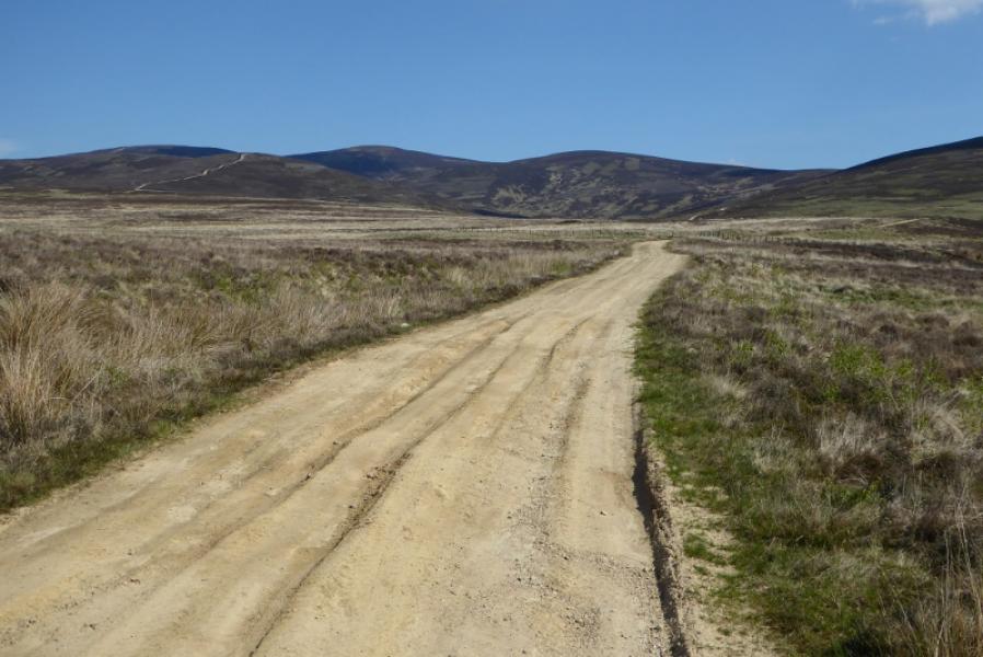
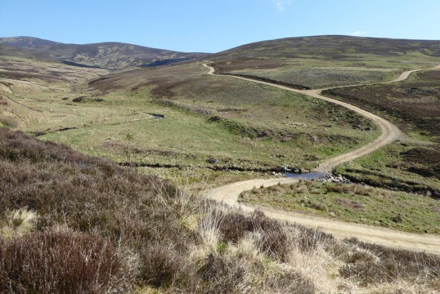
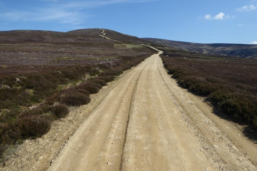
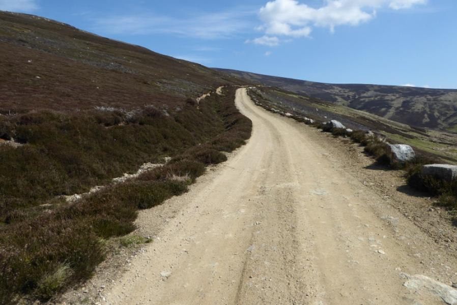
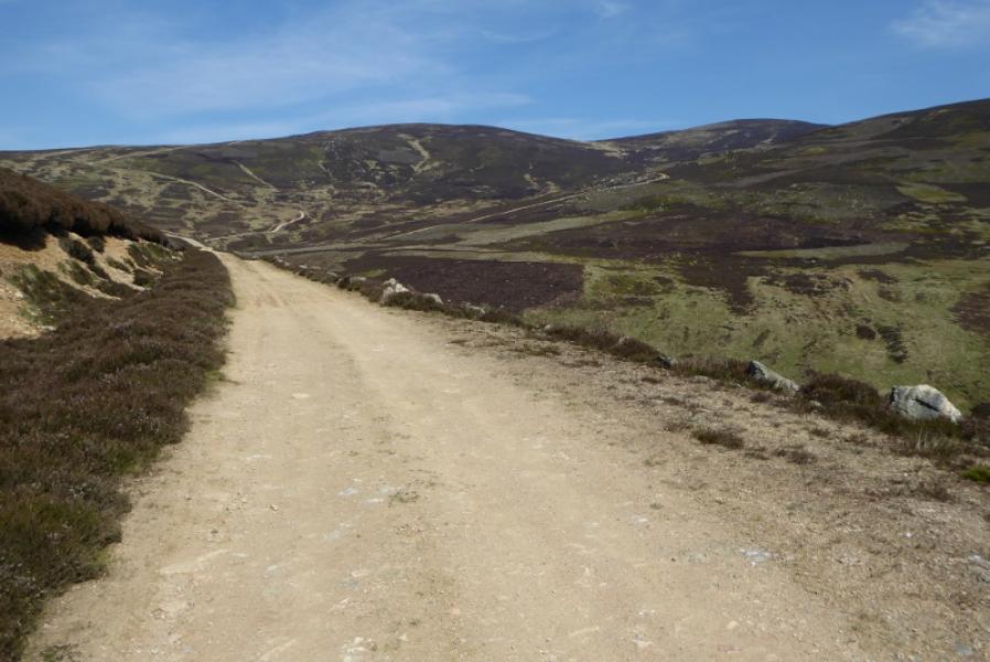
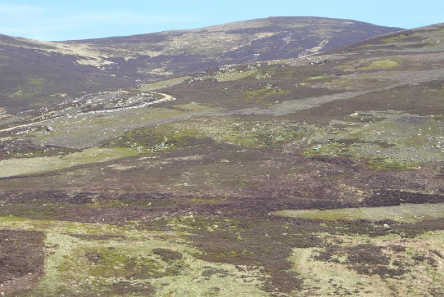
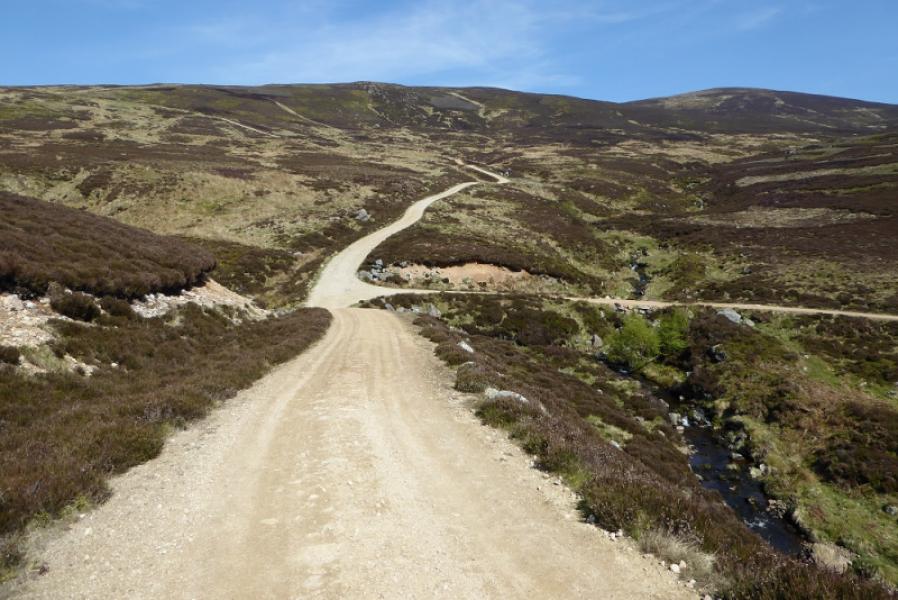
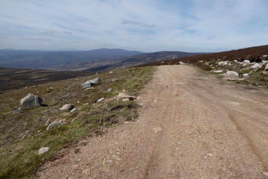
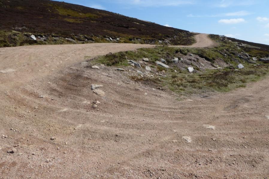
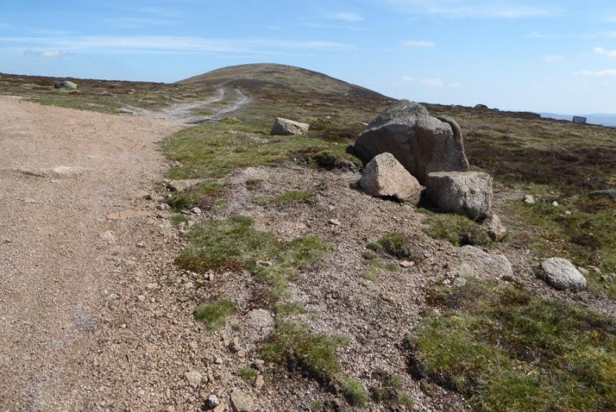
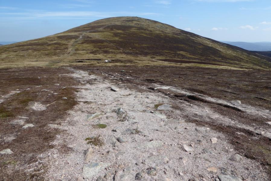
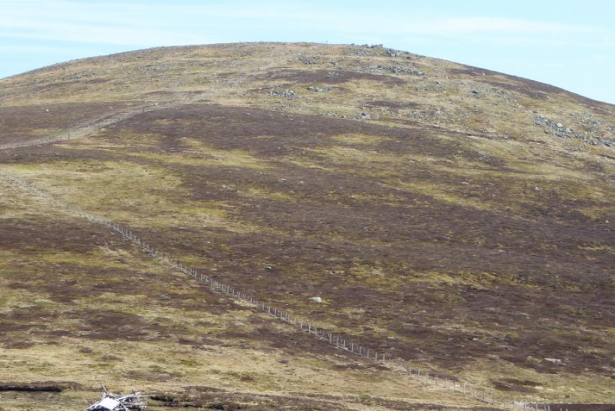
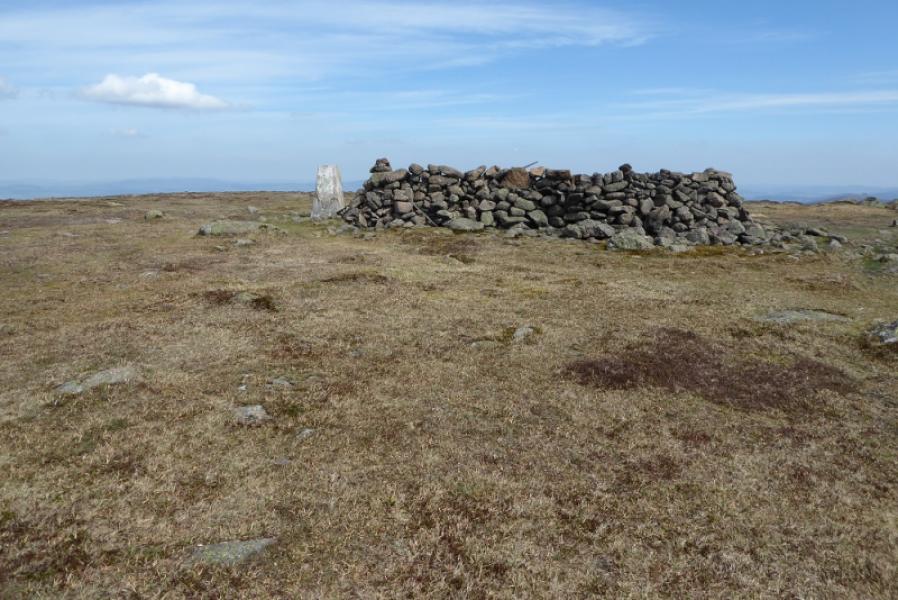
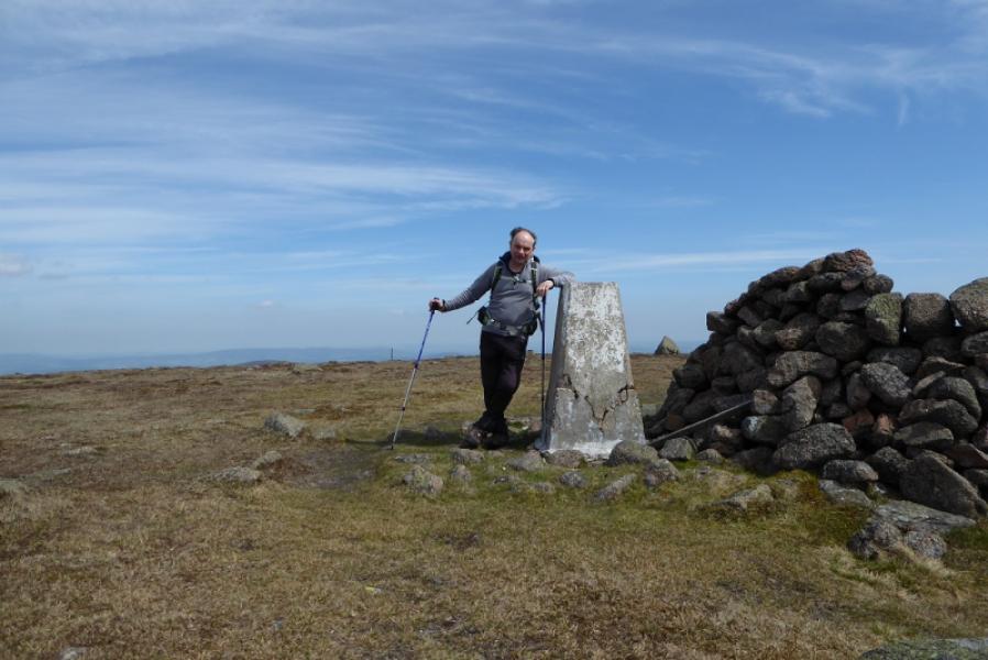
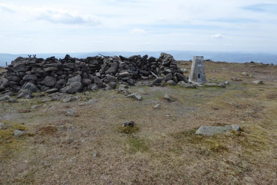
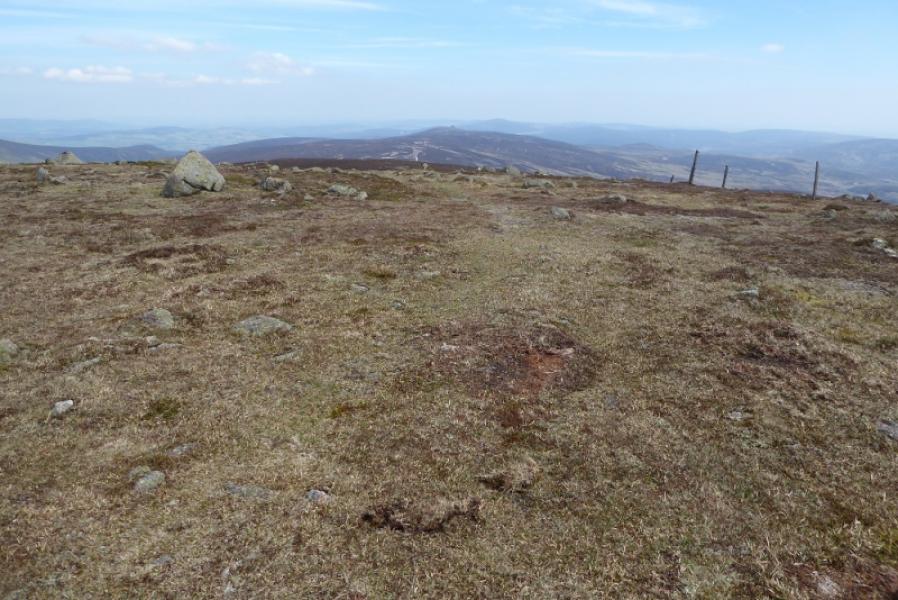
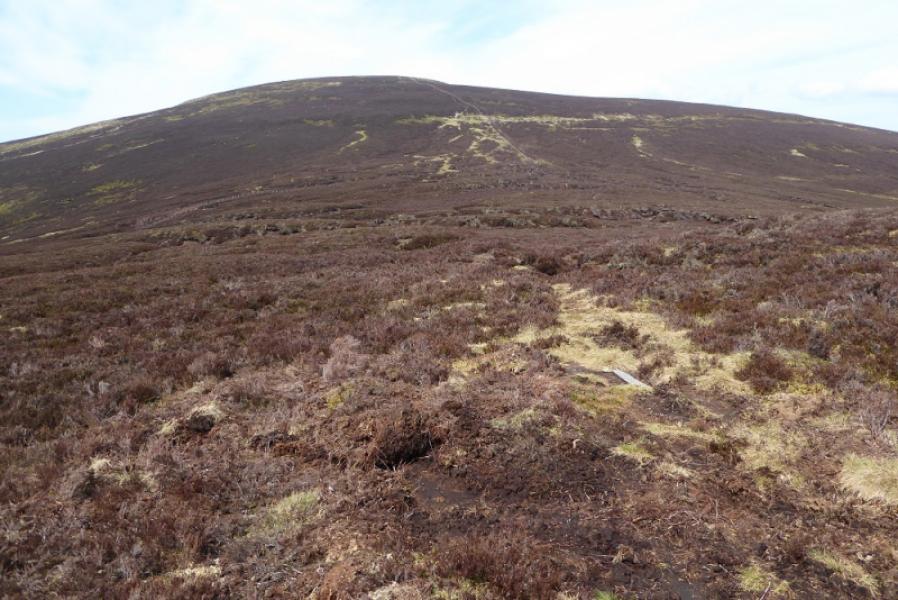
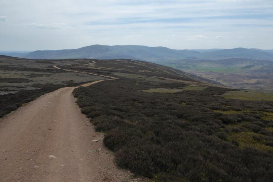
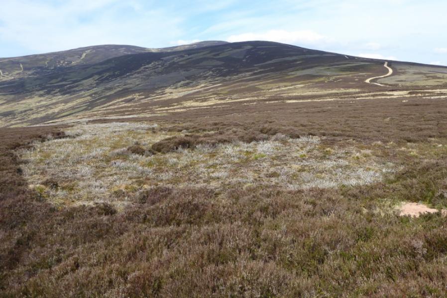
(1) Walk up the minor road from the telephone box. Pass the Mill of Aucheen which has an old water mill on one side. Continue to pass another house with some large sheds behind it then take the right fork , on a gravel track, towards Muir Cottage. The track passes in front of the cottage, heading W before soon turning N.. Stay on the main track which shadows the main river up the glen called the Burn of Turret. Take the left fork, just before the track descends to cross the river by a ford, and continue to the foot of the S ridge of Allrey where the track splits again. Take the right fork which traverses below Allrey on its E side. (Do not ascend Allrey as this will mean descending it after on rough ground). The track gradually converges with the river before another junction (may not be on your map). Continue ahead, roughly NE, and ascend the steepening track towards the SW top of Mount Battock passing through a metal gate near some grouse butts. Higher up, at another junction, take the hairpin bend and continue up the track until it levels out on a left hand bend. Leave the main track here and go straight ahead on a rougher track which descends to the shallow col between the SW top and Mount Battock with the fence, crossed at the gate, converging from the right. (This fence could have been followed from the gate but the track is easier.) Above the col, cross a different fence easily then follow the other fence up, past an outcrop on the right, to reach the summit plateau where the trig point and double shelter cairn is soon reached which is the summit of Mount Battock, 778 m.
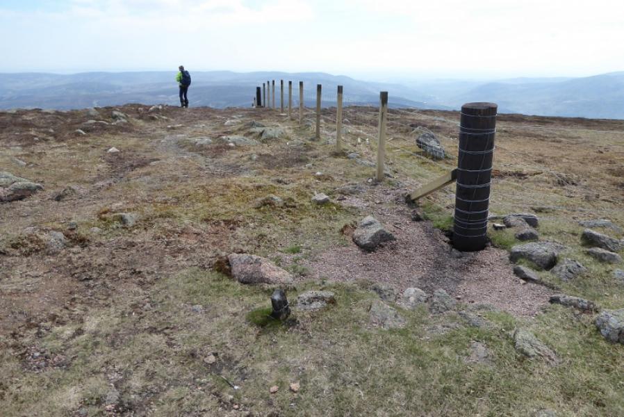
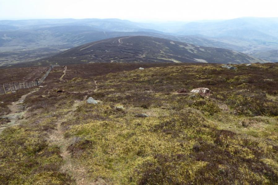
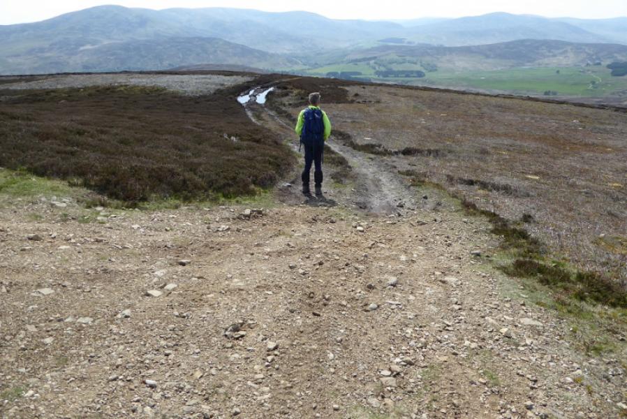
(2) Cross the stile close to the summit then follow the fence, roughly S, down towards the Hill of Saighs which is not seen from the summit but soon becomes apparent. There is a rough but fairly distinctive path which is never far from the fence. Lower down, the fence has to be climbed over which shouldn't be a problem (about 1 m high). Continue on the same line on the rough path to reach a metal gate which is the start of the track which leads all the way down the ridge. Follow the track over the Hill of Saighs then, S, down the ridge. Ignore all turnings until a boggy path forks right. Ignore this, but a little further, the main track goes right and continues down the ridge. Further on, ignore the track going off right down to the glen and continue ahead. The main track slowly converges with the main river. Lower down, the track splits. Take the right fork, towards the river, which leads down past some houses to the Glen Esk road on the E side of the bridge. Turn right, cross the bridge and turn right to the car park.
Notes
(a) This walk took place on 15th April, 2017, and about 15 years earlier.
Photos - Hover over photo for caption. Click on to enlarge. Click on again to reduce.