Get Lost Mountaineering
You are here: Scotland » 07 Glen Shee, Cairn O'Mount and Glen Clova to Glen Esk » Glen Isla to Mount Keen & Mount Battock
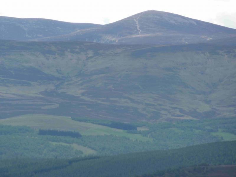
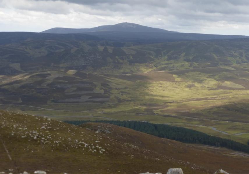
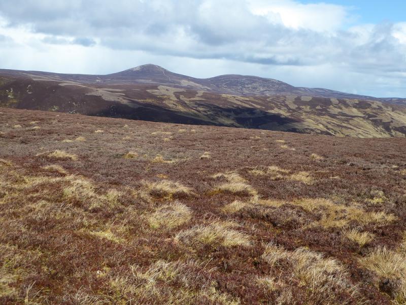
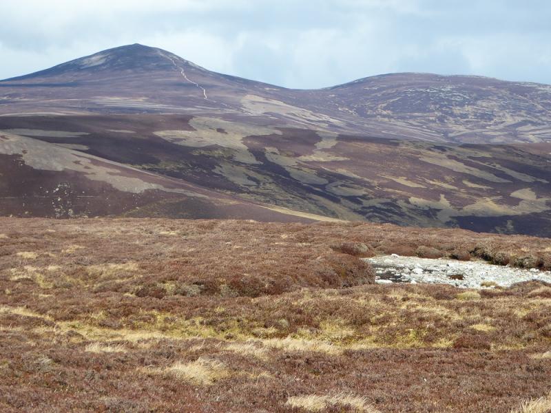
Mount Keen from Invermark
Mount Keen from Invermark
Start/Finish
Large car park at Invermark at the end of the public road in Glen Esk. This is about 15 miles up Glen Esk from Edzell which is, itself, about 5 miles north of Brechin. Edzell is signed off the A90 dual carriageway from Perth/Dundee to Aberdeen. There are no toilets at Invermark, the last ones are at Tarfside about 3 miles down Glen Esk and passed on the way to Invermark.
Distance/Time
18 km. About 5 – 6 hours
Peaks
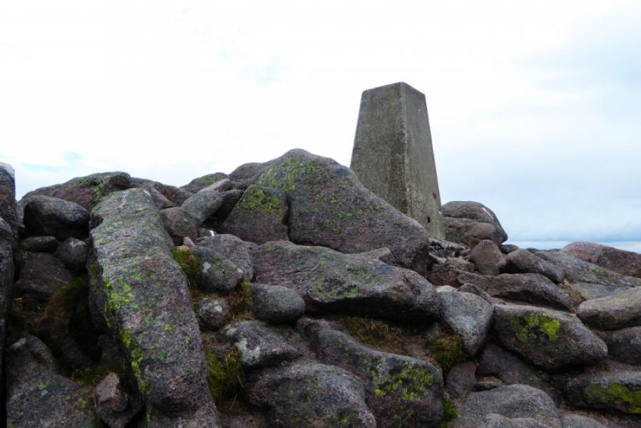
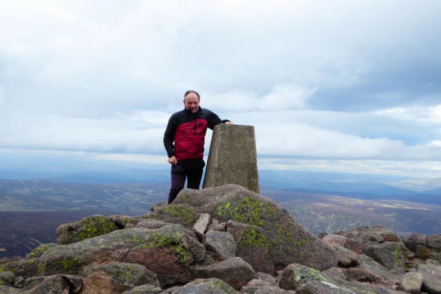
Mount Keen, 939 m, NO 409 869. OS sheet 44: Ballater.
Introduction
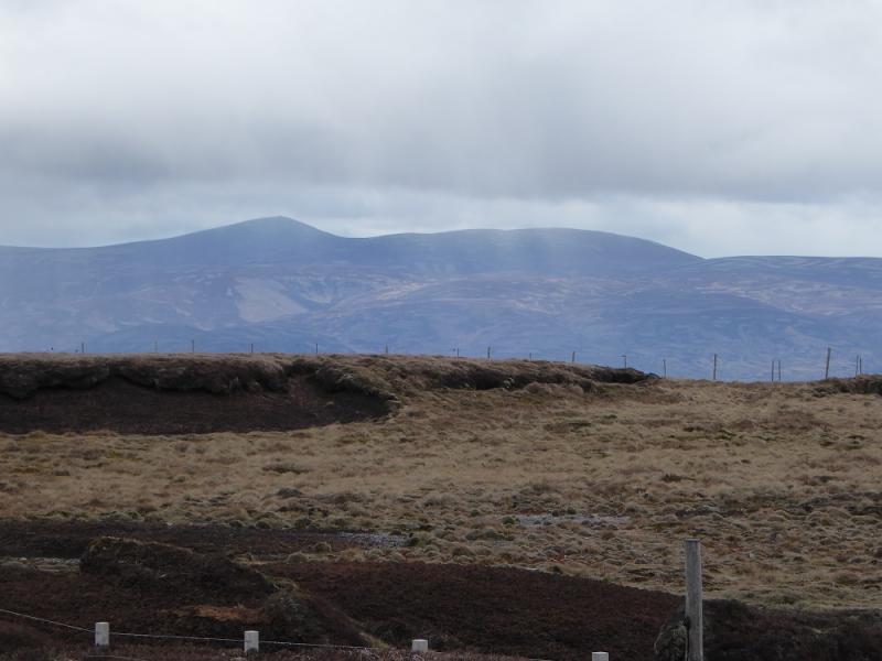
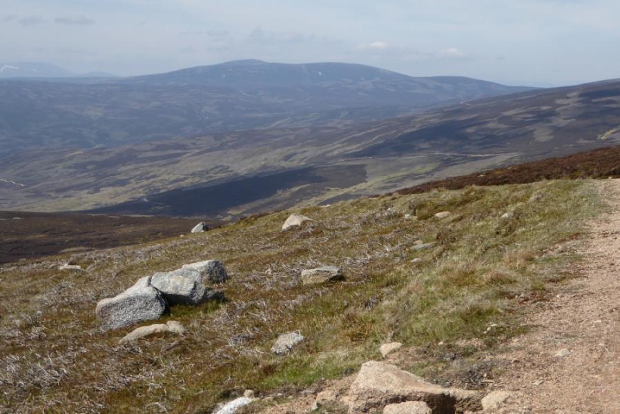
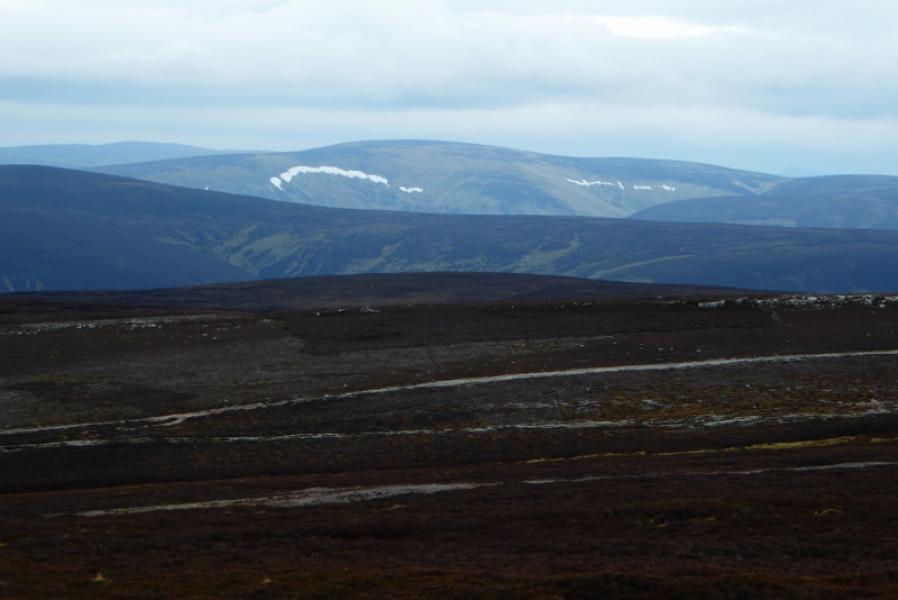
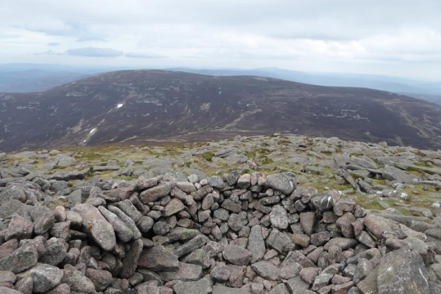
Mount Keen is a solitary peak and the most easterly Munro.This is a pleasant high morrland walk which offers good views from the summit to Lochnagar, Hunt Hill and Mount Battock although it needs to be a very clear day to see Lochnagar and its neighbouring peaks. Navigation is very easy on good tracks almost all the way.
Route
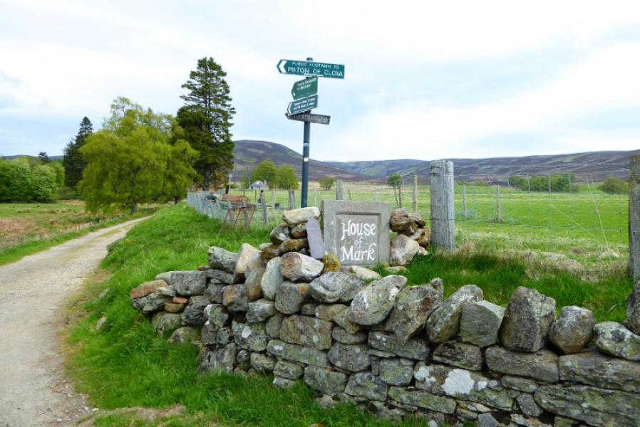
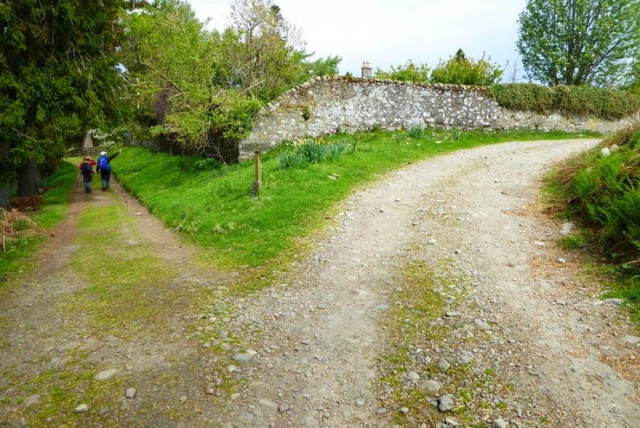
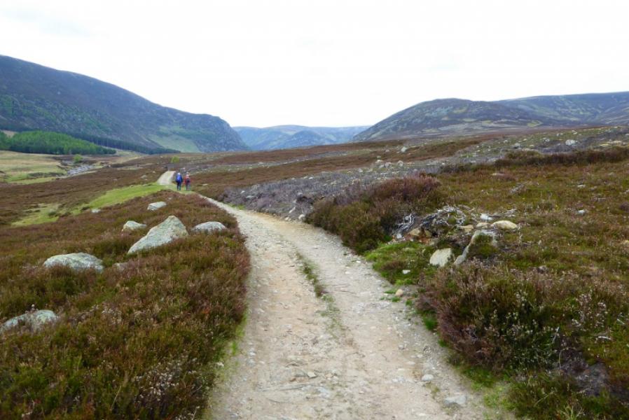
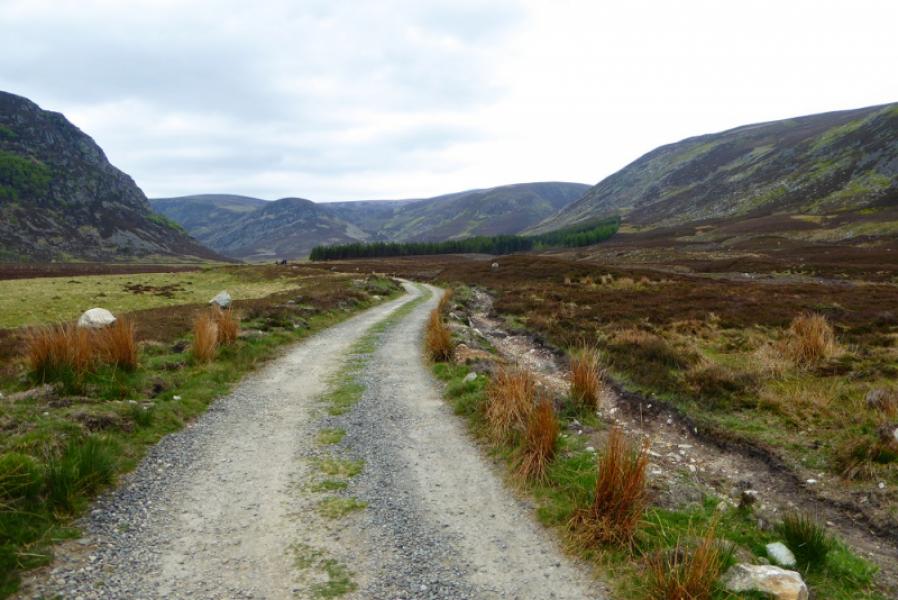
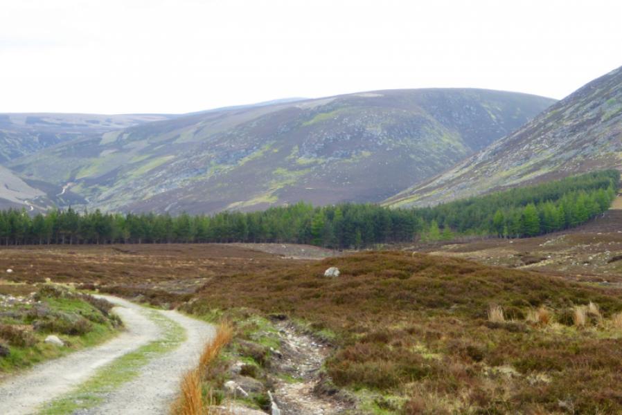
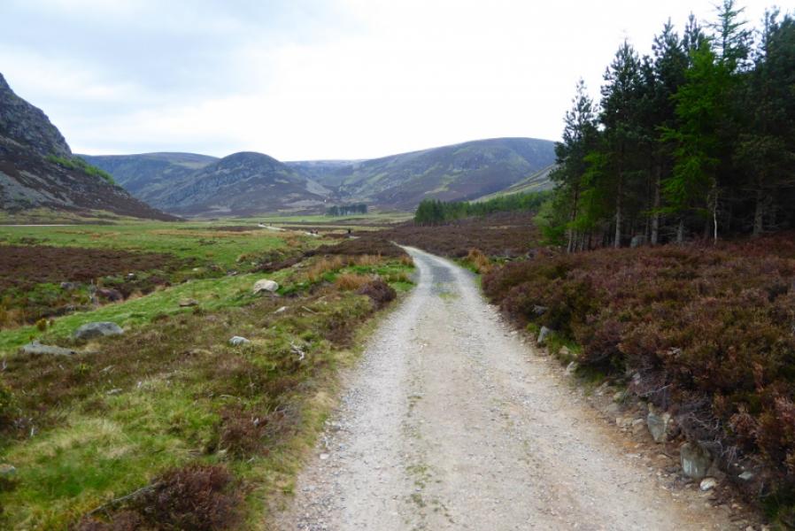
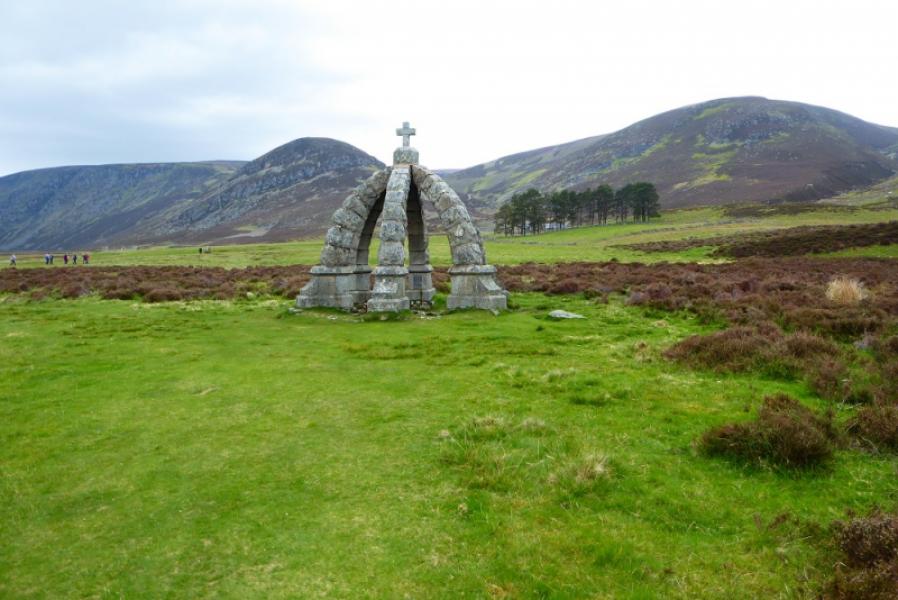
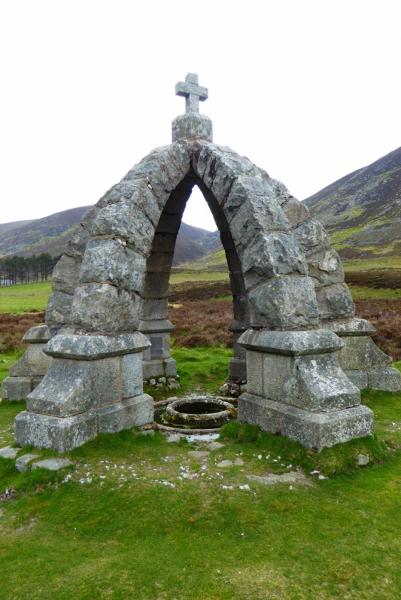
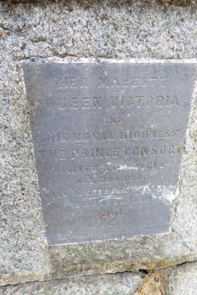
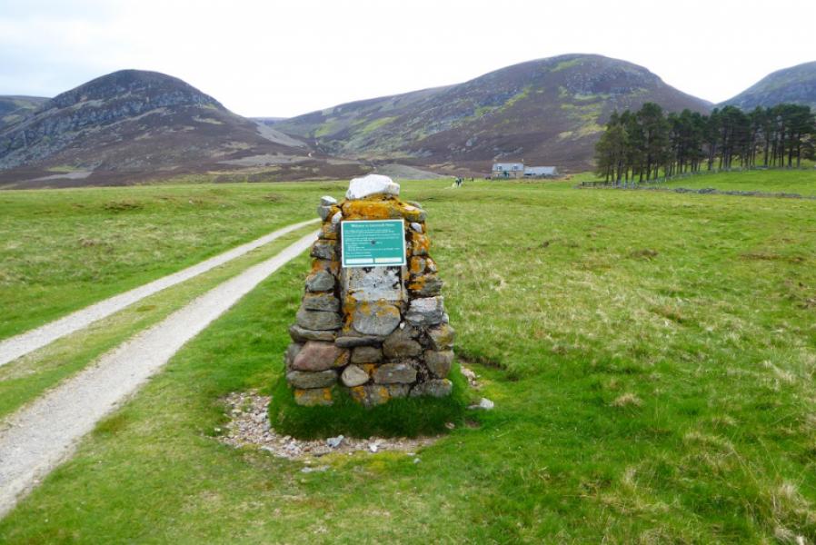
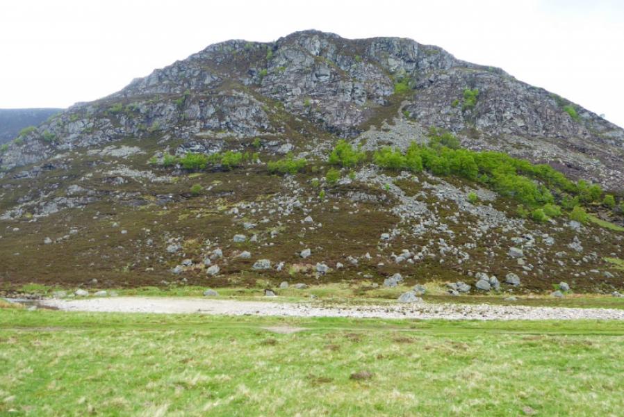
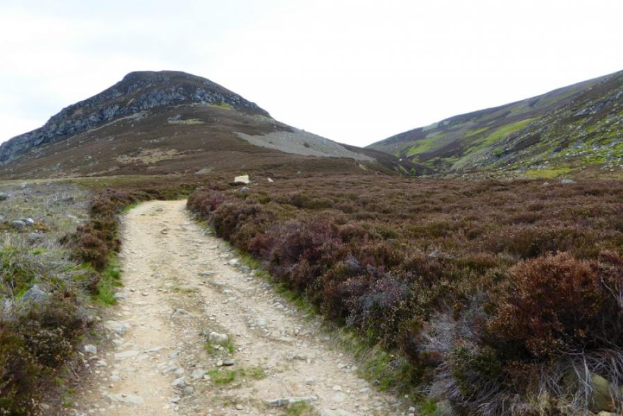
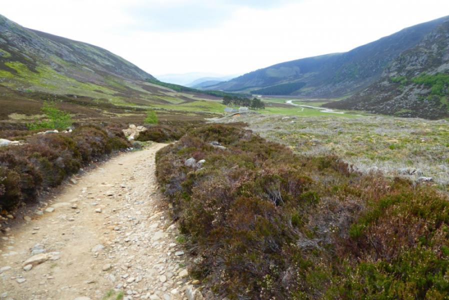
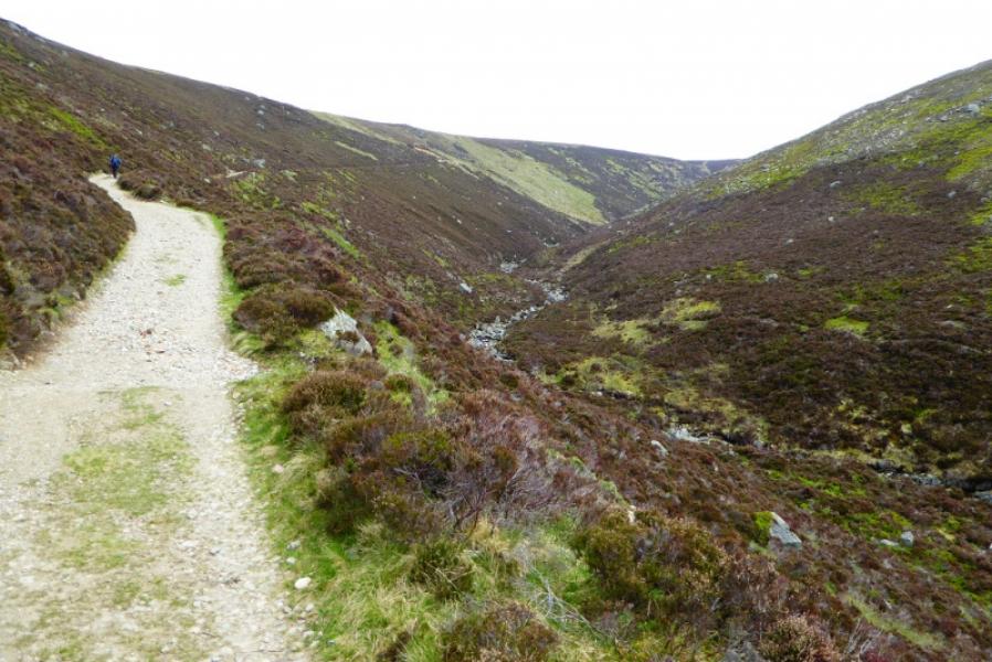
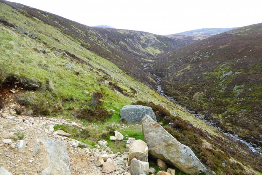
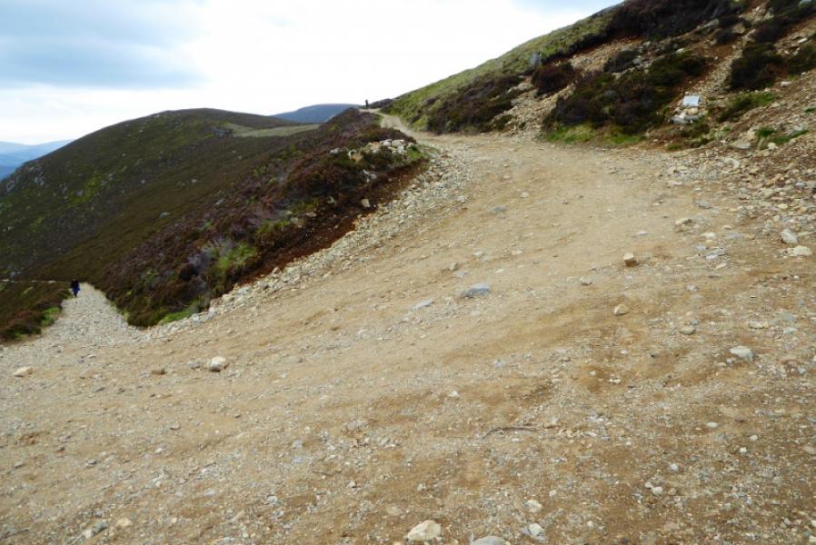
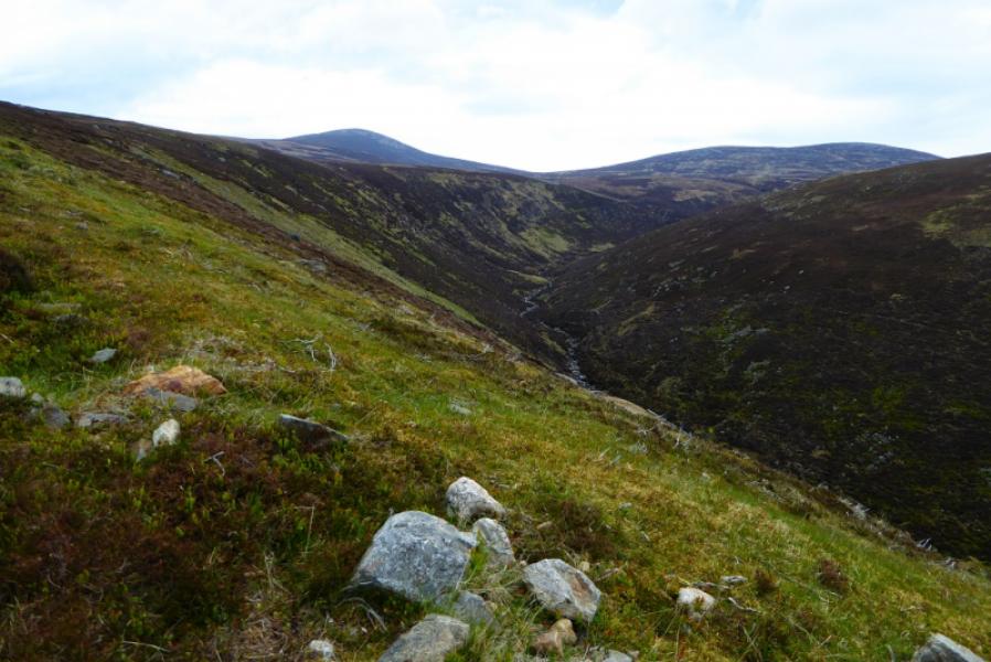
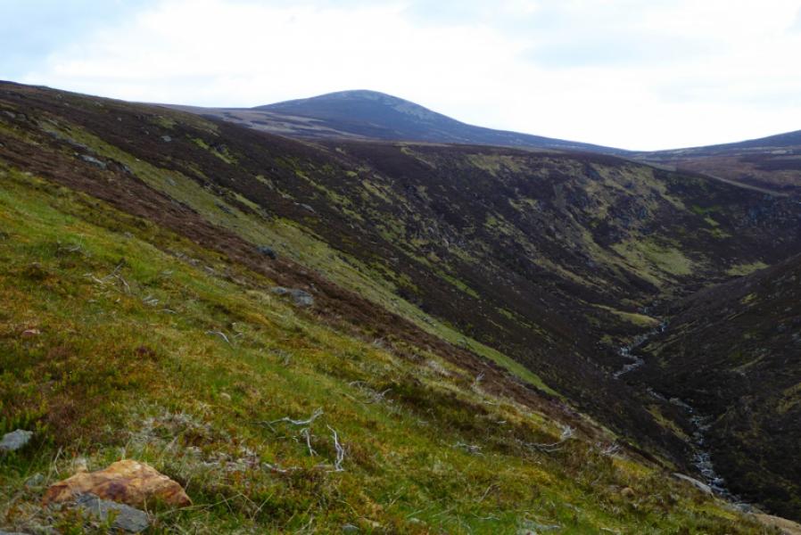
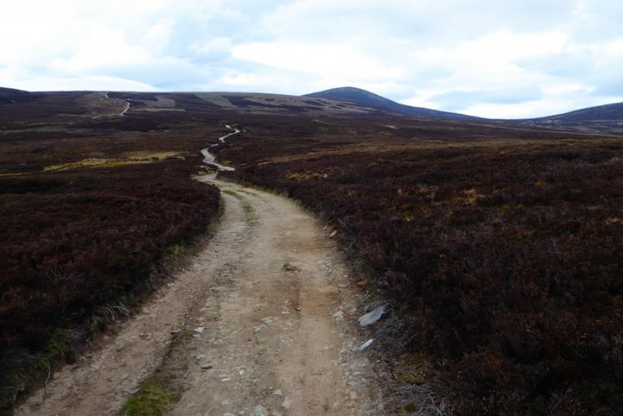
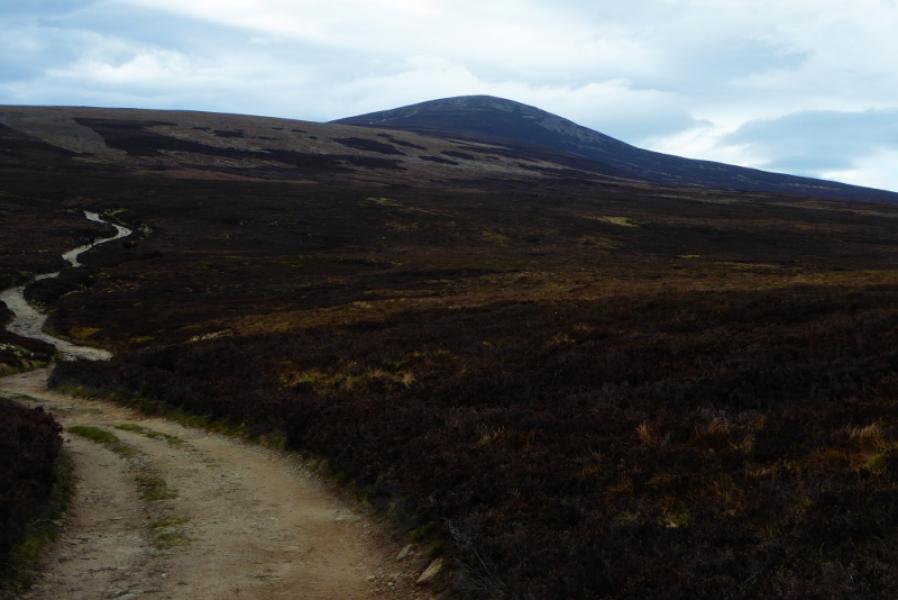
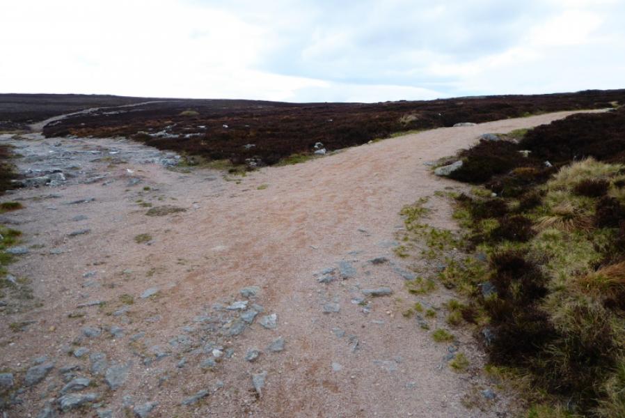
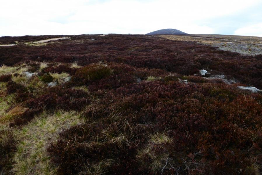
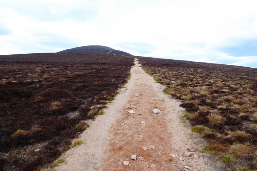
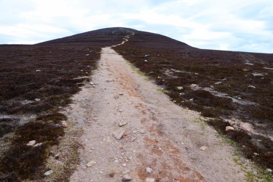
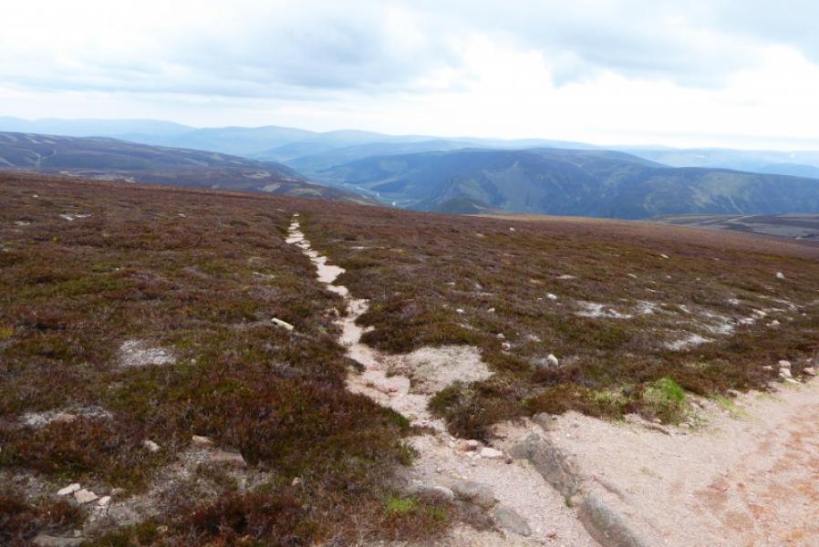
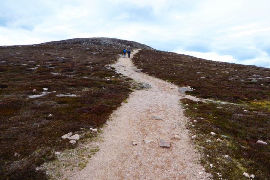
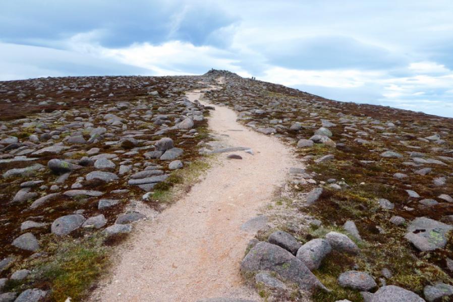
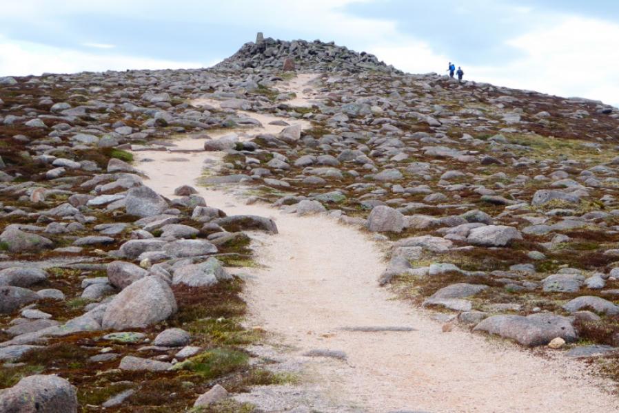
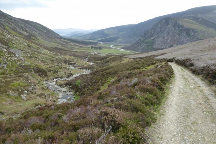
(1) From the car park, continue up the public road for about 300 m to reach a signpost. Take the track on the right for Mount Keen, Queen's Well and House of Mark (the first house). Just before the house, the track splits. Take the left fork. There is a small sign for Mount Keen and the Queen's Well. Go past the House of Mark which serves teas when open and has a pleasant walled garden. Follow the obvious path/track which shadows the Water of Mark. Further on, the main track from across the river joins this path. Continue to reach the Queen's Well which lies slightly off the track to the right. Continue to reach Glen Mark cottage. Soon after, the track starts to climb below the prominent peak of Couternach and by the side of the Ladder Burn. The track eventually leads up on to a crest where two large cairns are passed before reaching a T junction. Turn right here and follow the path/track which is the final approach to Mount Keen. The path is stepped in places but easy and ends about 30 m from the summit which is surrounded by small boulders. A white trig point on an outcrop marks the summit of Mount Keen, 939 m.
(2) Retrace the outward route.
Notes
(a) This walk took place on 20th May, 2017, and about 12 years earlier.
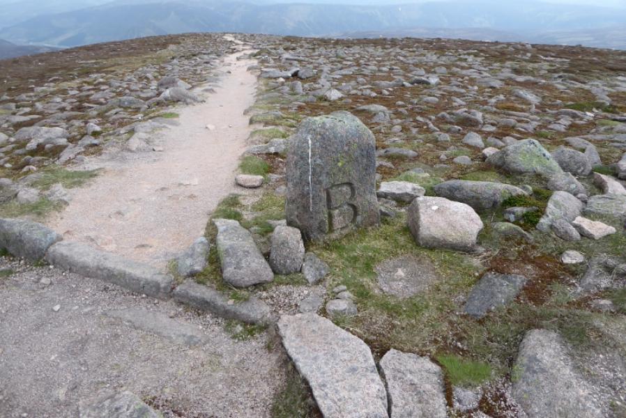
Photos - Hover over photo for caption. Click on to enlarge. Click on again to reduce.