Get Lost Mountaineering
You are here: Scotland » 10a Morvern, Sunart, Ardgour and Moidart » Moidart & Ardnamurchan
Rois-bheinn from Alisary
Rois-bheinn from Alisary
Start/Finish
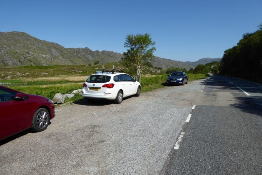
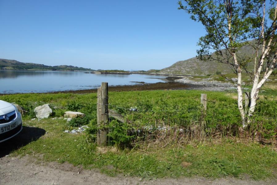
Rough layby on shore side of A 861road from Lochailort to Salen. Turn left off the A 830, Fort William to Mallaig road at Lochailort. It is about 3 miles to the layby from the junction. There is a track just before then further on after the Alisary Burn bridge. The second track is the one required. Park about 200 m after this.
Distance/Time
9 km. About 5 – 6 hours.
Peaks
Rois-bheinn, 882 m, NM 756 778. OS sheet 40: Loch Shiel.
Introduction
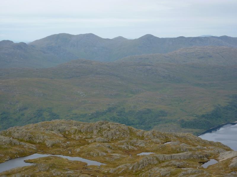
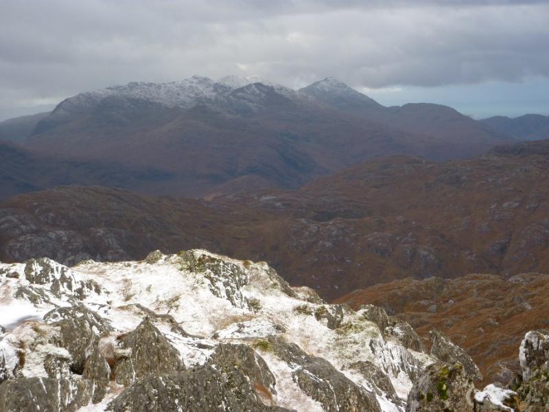
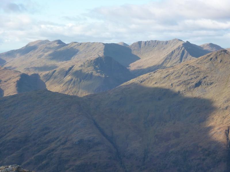
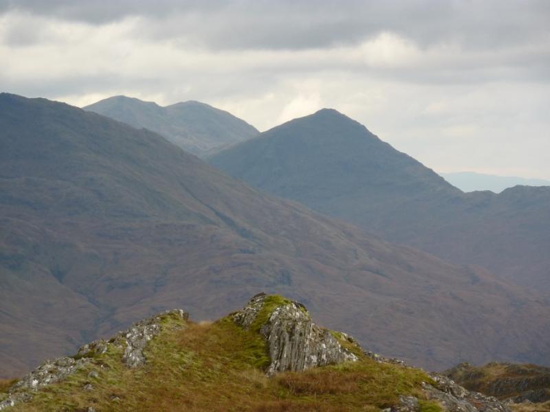
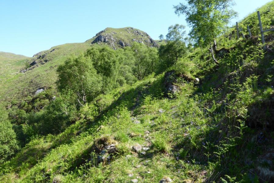
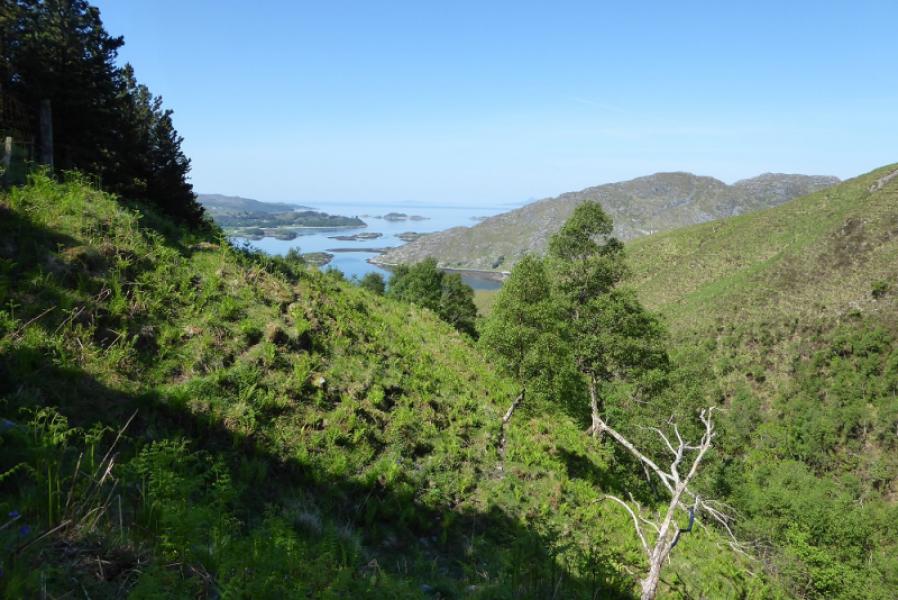
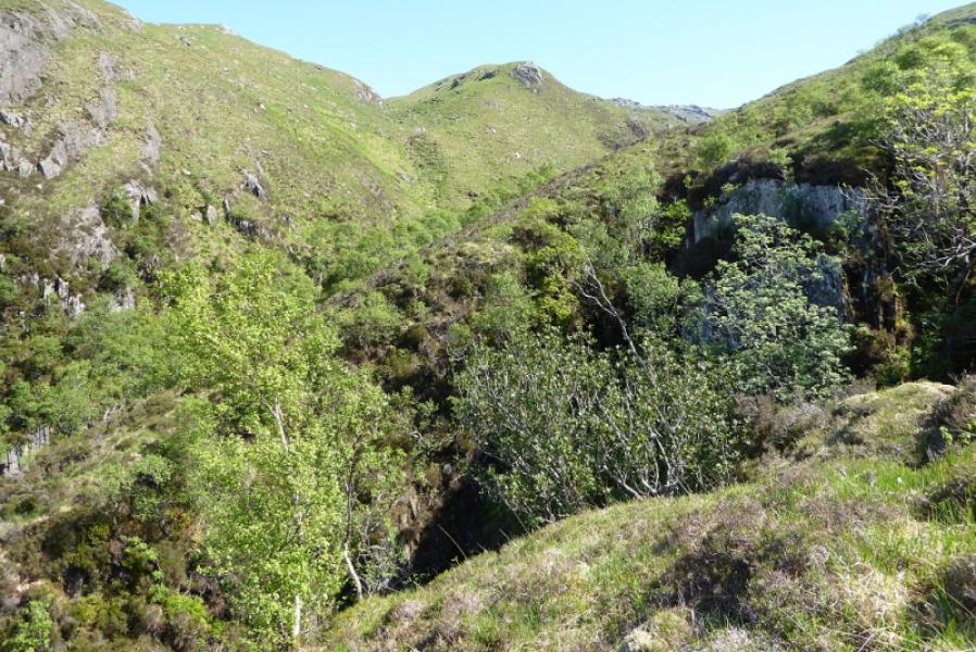
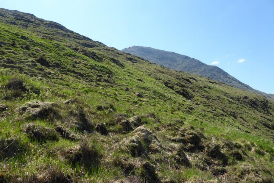
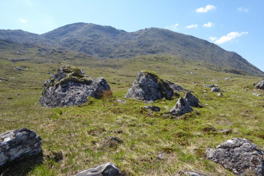
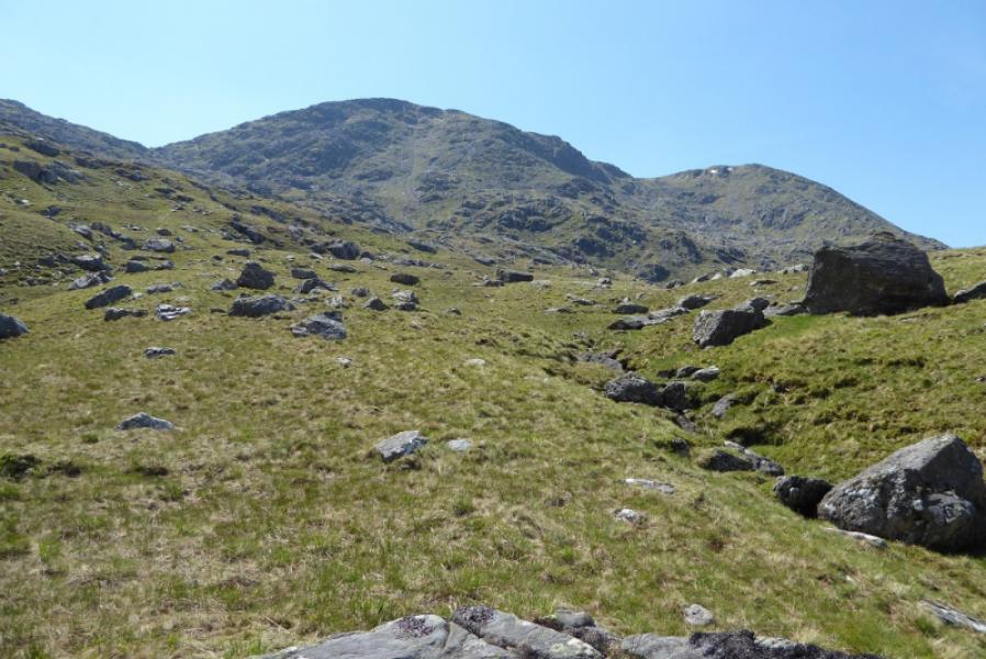
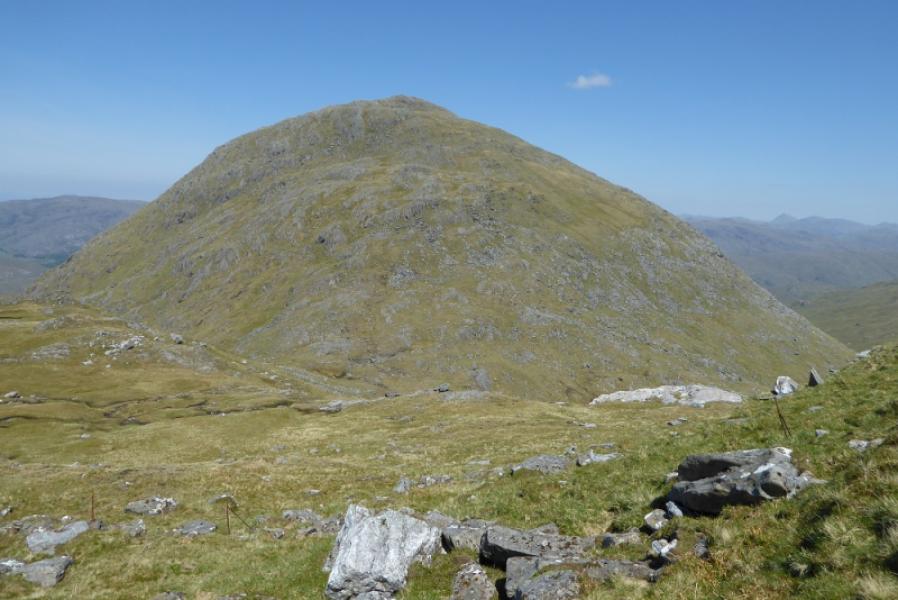
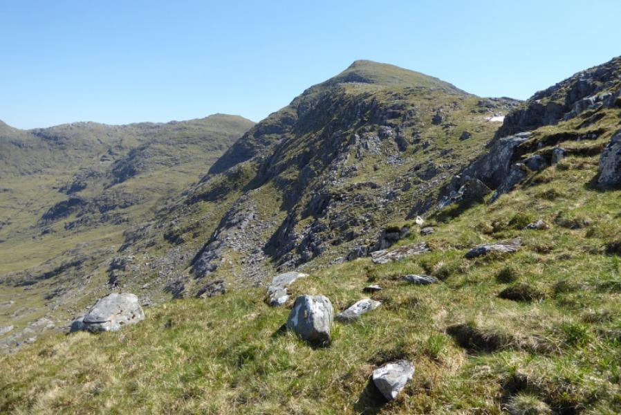
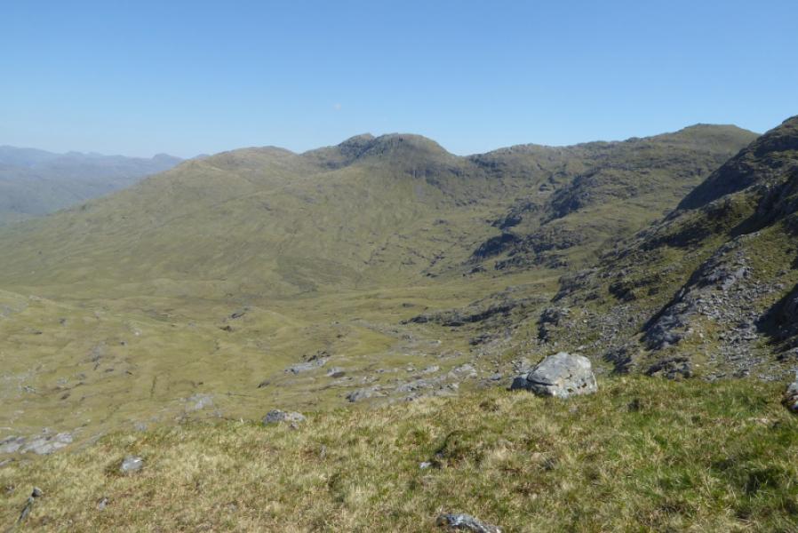
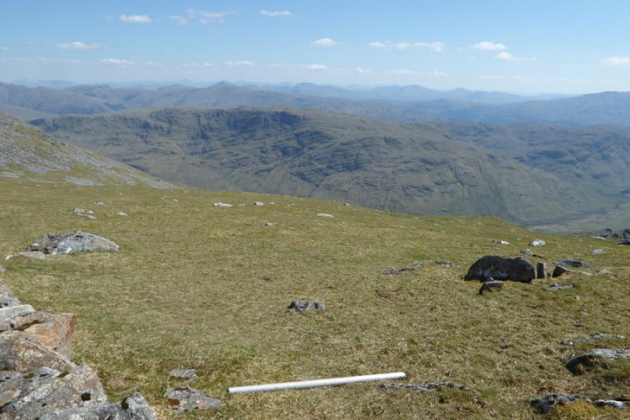
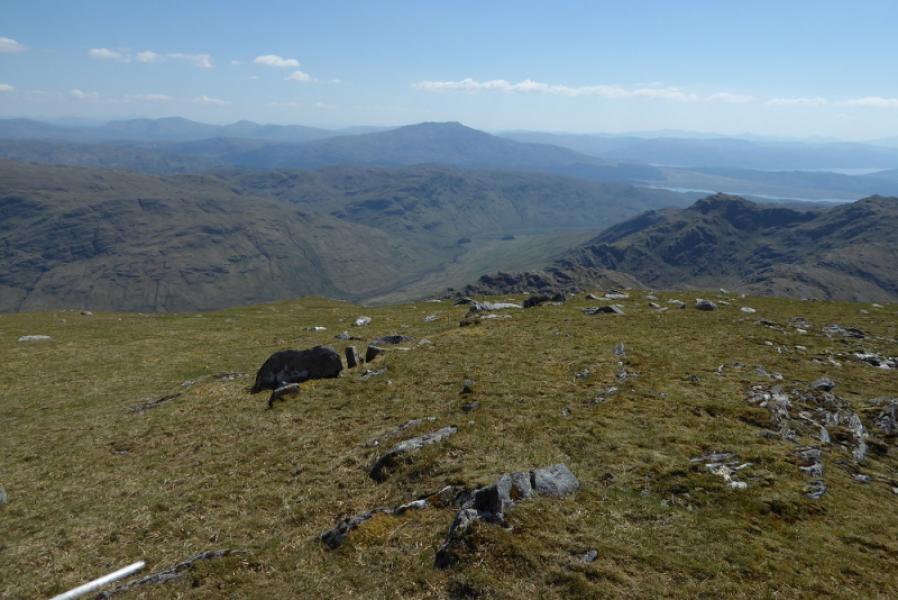
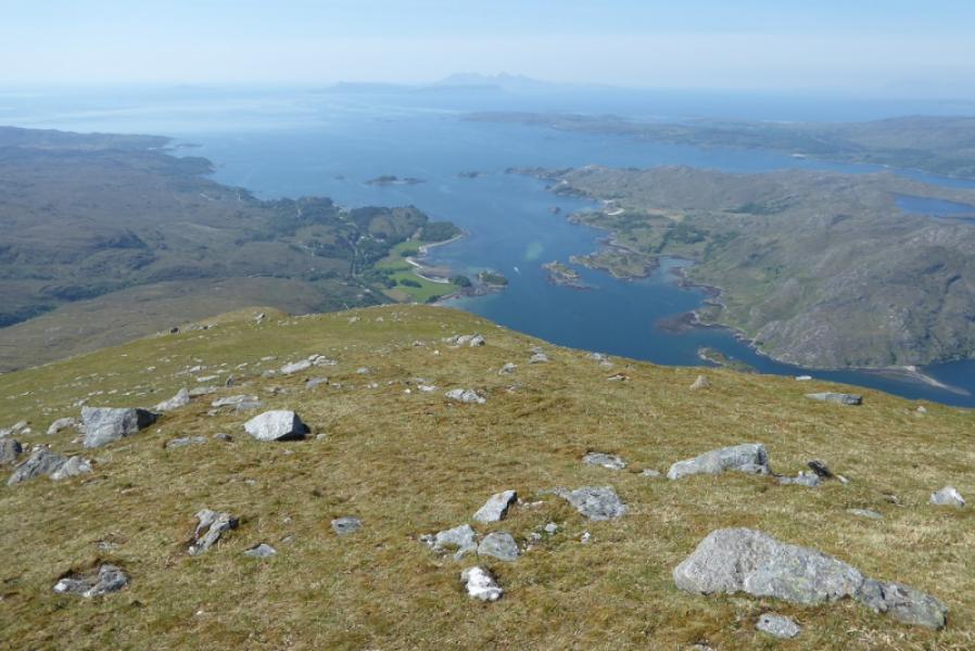
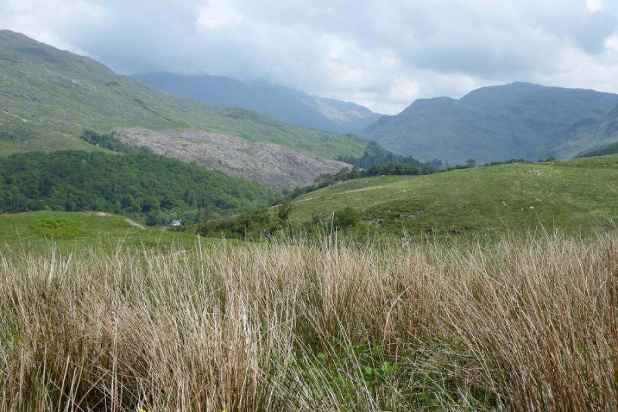
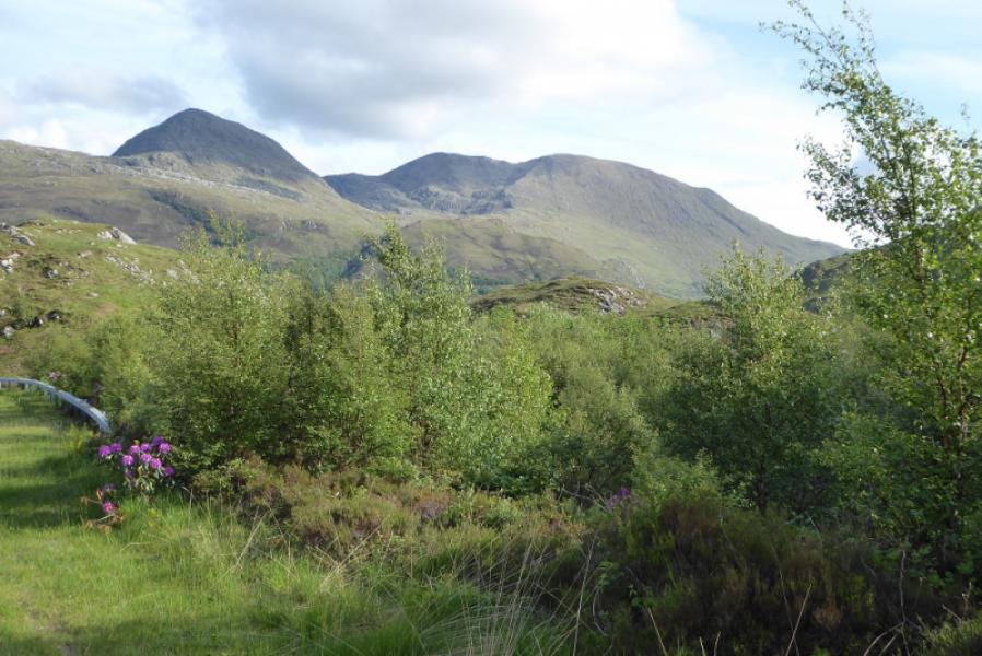
A quite strenuous walk which just takes in Rois-bheinn to make up for a previous visit in misty conditions. Navigation is quite easy as a wall leads to both summits of Rois-bheinn. The descent aims for the gap between the two forests about 1 km south of the start but this gap is now fairly overgrown with silver birch and, in the summer, ferns. Views are excellent on a clear day and include An Stac, Sgurr na Ba Glaise, Beinn Resipol, Sgurr na Ciche, Ladhar Bheinn, Eigg, Rum and Skye.
Route
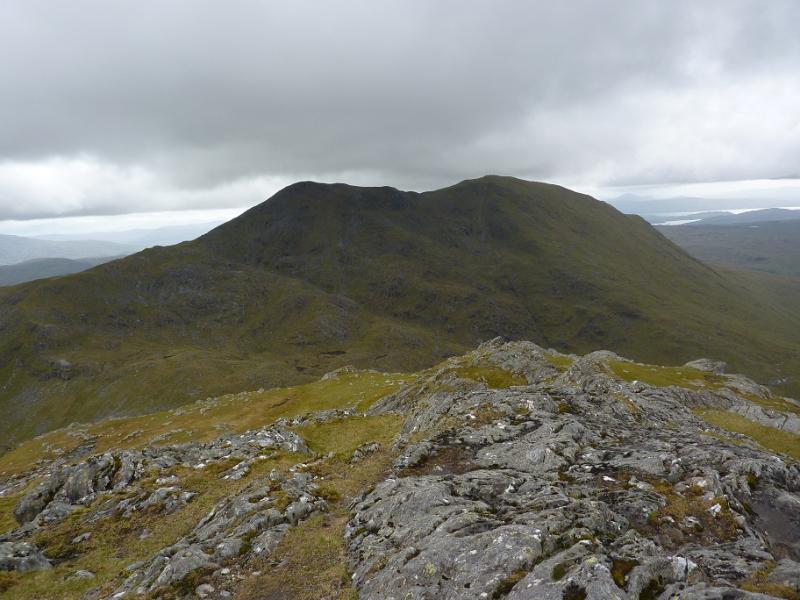
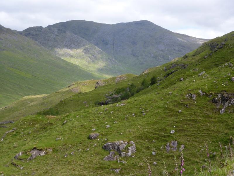
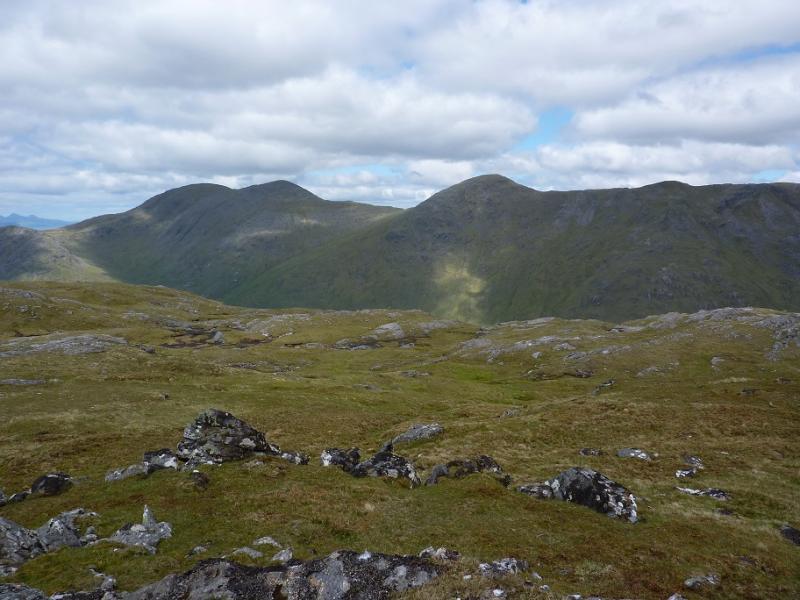
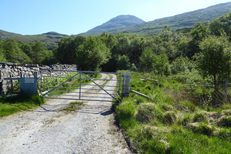
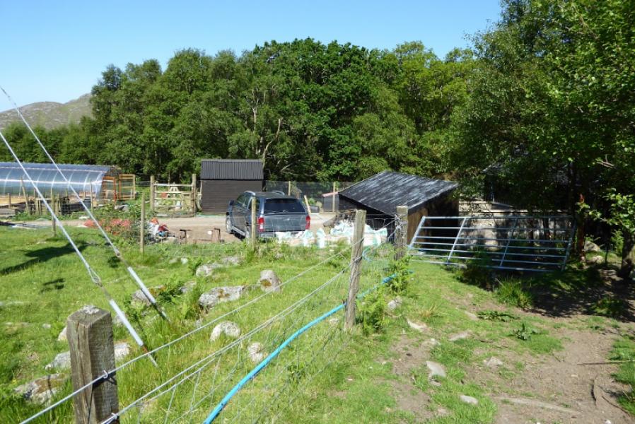
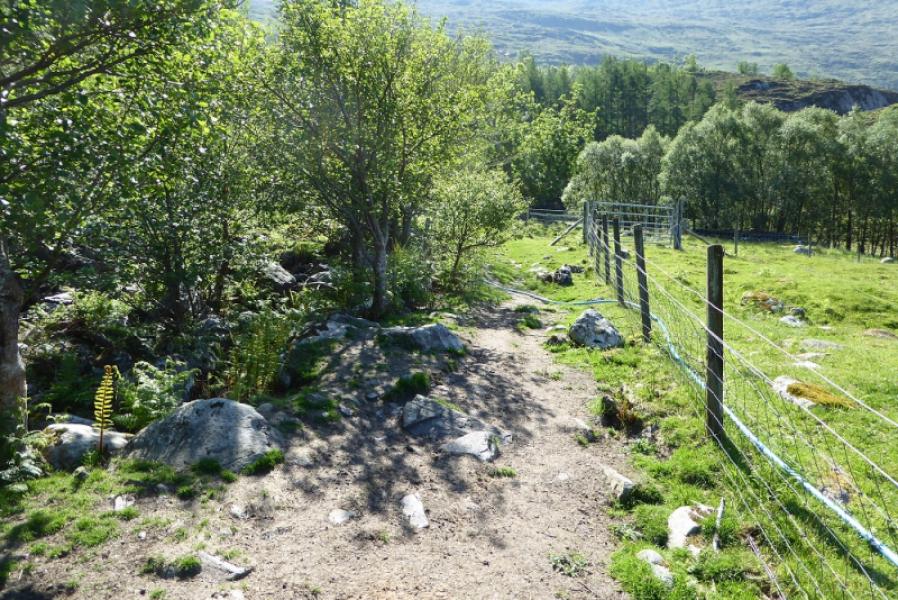
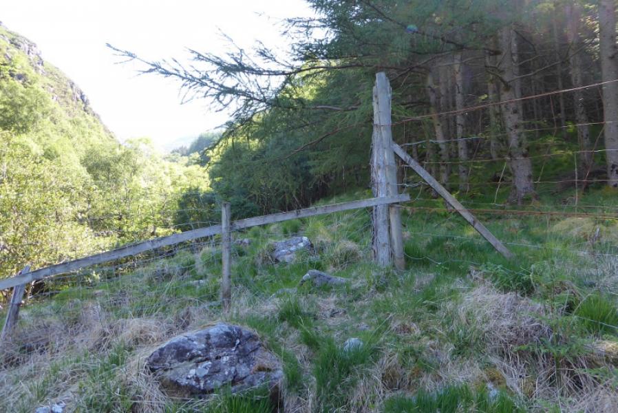
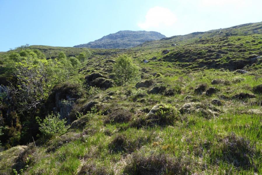
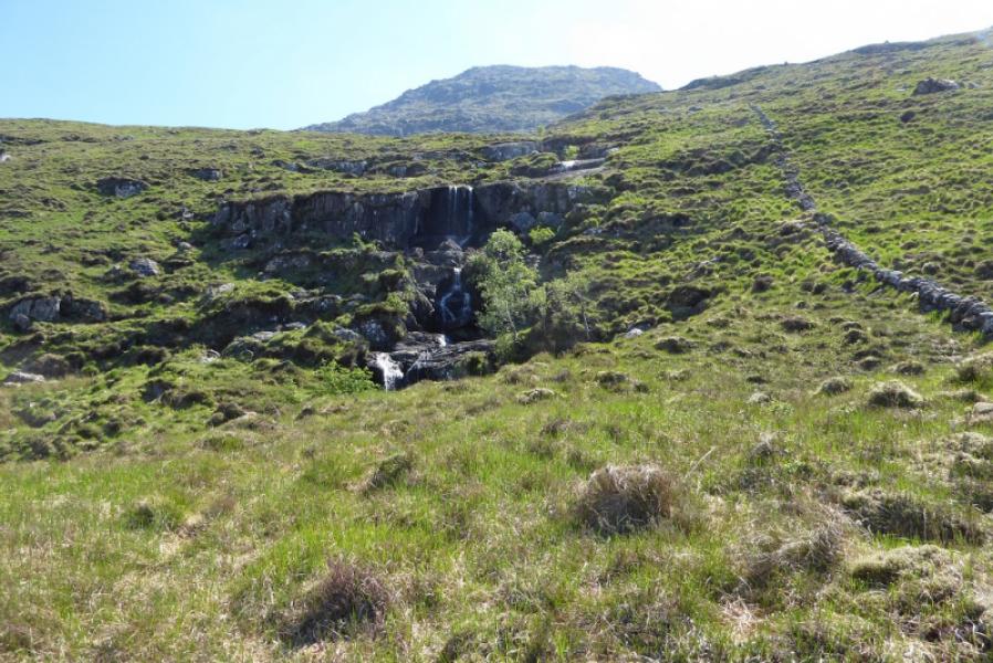
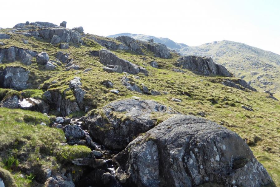
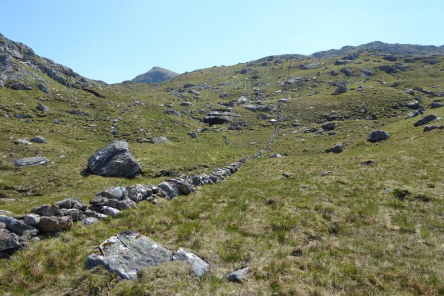
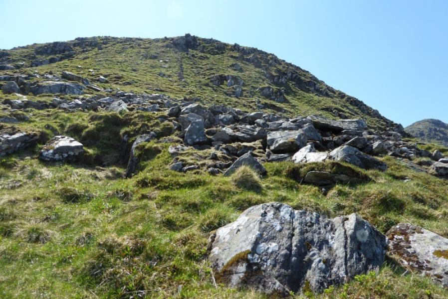
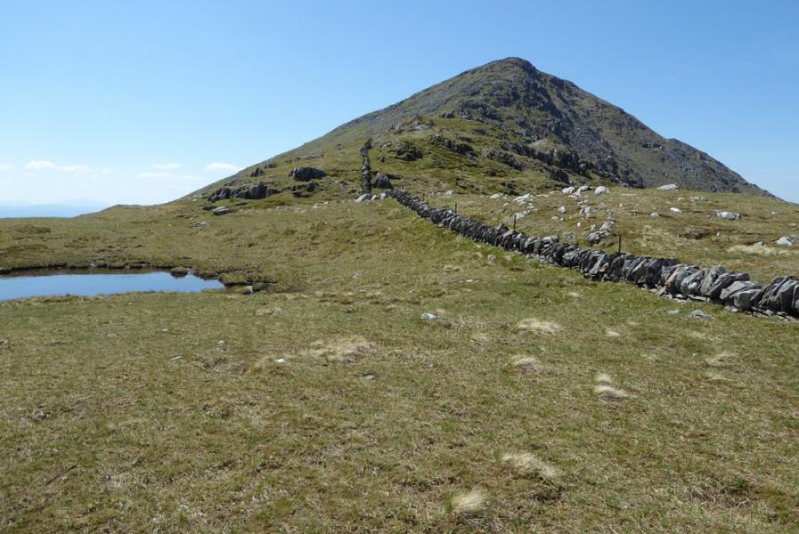
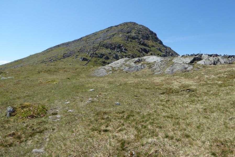
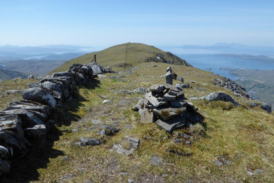
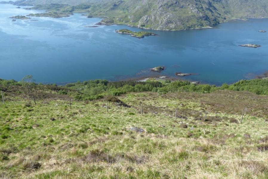
(1) Walk up the track towards Alisary. Reach some outbuildings just before the track crosses the Alisary Burn. Do not cross the burn but follow a path on its S side which starts from where a land rover is often parked. The path is distinctive enough to follow and soon starts to climb then follows the edge of the forest high above the burn. After emerging from the forest, the path becomes indistinct so shadow the stream. When the stream splits, follow the right fork. A low wall soon appears and this leads all the way to the summit. Follow the wall up. It does not go into the col between Rois-bheinn and An Stac but is well over to the Rois-bheinn side. The wall becomes hard to follow when it climbs steeply through scree but some iron posts can be followed instead which lead one up onto a crest which is followed up on to the E ridge of Rois-bheinn. By now, the wall will have re-appeared with a path alongside it. The path crosses the wall now and again to find easier ground. Eventually, the angle eases and one arrives at a medium cairn which is the eastern, and higher, summit of Rois-bheinn, 882. Note that there is no longer a trig point here but the cairn has been built to resemble one!
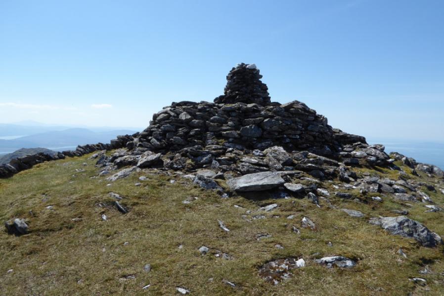
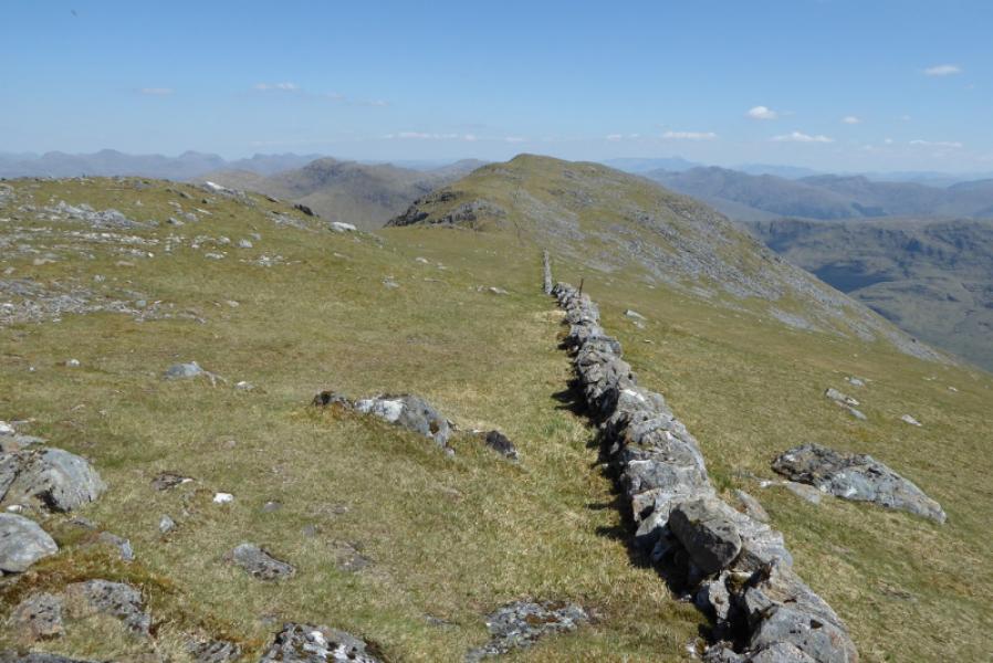
(2) The wall is followed for another 700 m, across a dip 50 m deep, to reach the western summit where there is a huge cairn and which is the better viewpoint. Descend E down mainly grassy slopes. The wall helps for a short distance but soon goes S at a corner so continue down the ridge with little hint of a path. Some weaving around will be necessary to avoid steeper sections. Aim for the gap between the two plantations. As one gets lower, the road will be seen. The bottom section has been colonised by silver birch and ferns and is rough, slow going. There are some deer fences to cross but, apart from the last one, are in a poor state and easy to cross. Once the road is reached, it is about 1 km back to the start. A possible alternative descent which avoids the rough ground is to stay on the ridge and aim for a track going into the westerly plantation which should take one down to the road but further away from the start. This alternative is not on the map and has not been checked out but looks fairly straightforward from the descent ridge.
Notes
(a) This walk took place on 28th May, 2018.
Photos - Hover over photo for caption. Click on to enlarge. Click on again to reduce.