Get Lost Mountaineering
You are here: Scotland » 03 North-west Argyll, Appin and Glencoe » Ballachulish & Connel to Loch Etive
Beinn Lora from Benderloch
Beinn Lora from Benderloch
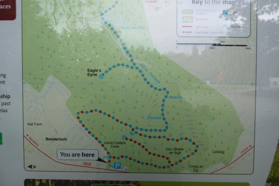
Start/Finish
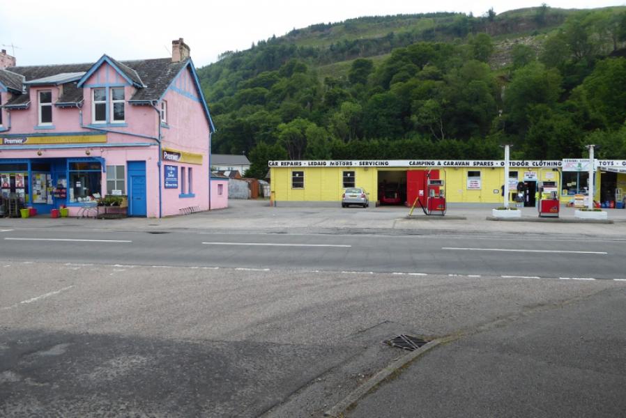
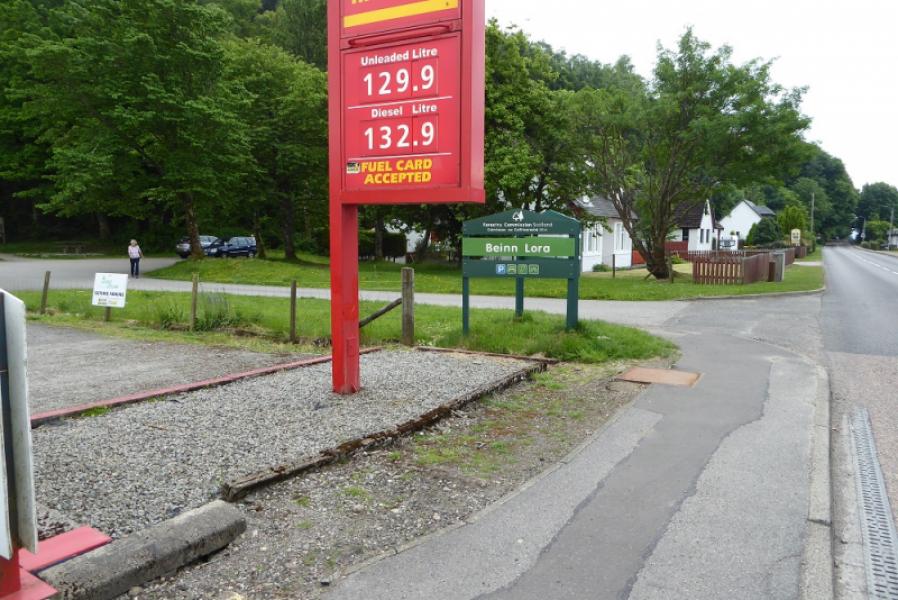
Car park next to Benderloch garage. If full, there is more parking nearby. Benderloch is on the A828 road between Connel (5 miles north of Oban) and Ballachulish bridge where it joins the A 82 from Glencoe to Fort William. Benderloch is about 3 miles north of Connel.
Distance/Time
5 km. About 2 - 3 hours.
Peaks
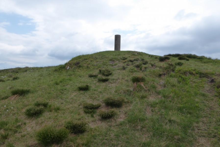
Beinn Lora, 308 m, NM 919 377. OS sheet 49: Oban & East Mull
Introduction
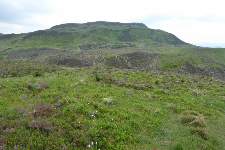
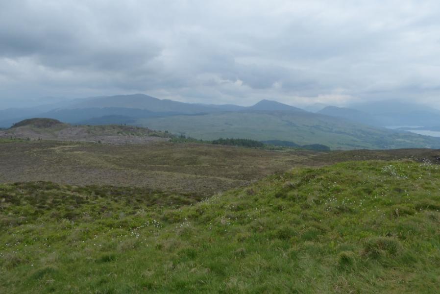
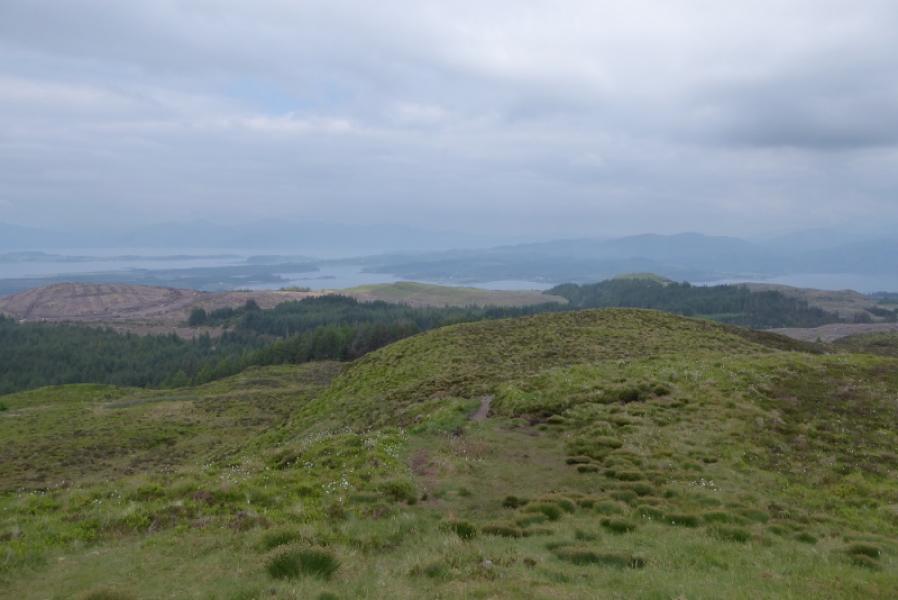
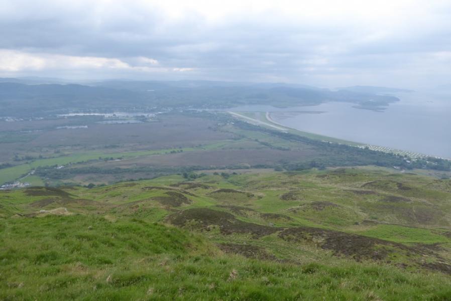
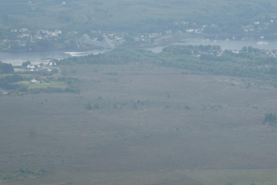
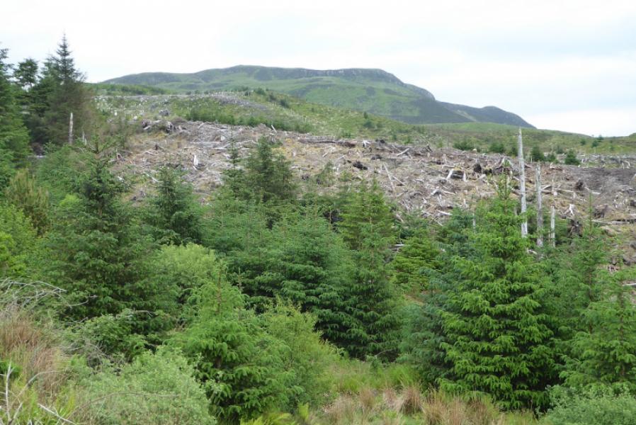
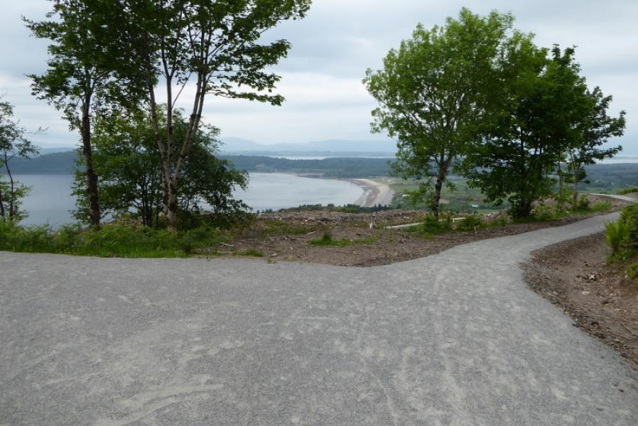
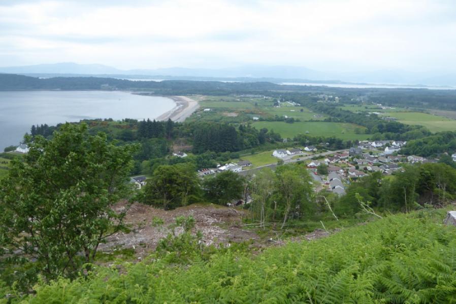
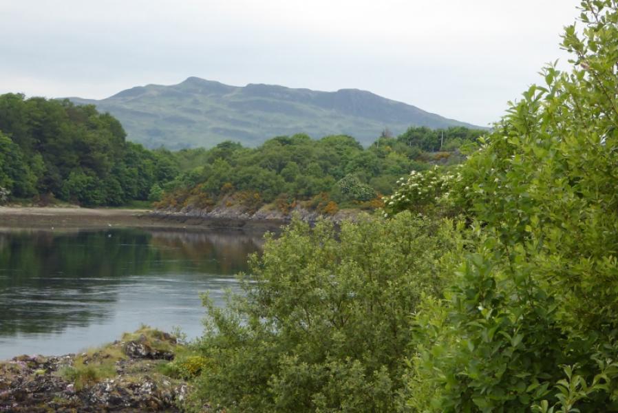
Beinn Lora is quite a low hill for this area but its isolation makes it a splendid viewpoint for Beinn Bhreac, Beinn Mheadhonach, Beinn Sgulaird, Creach Bheinn, Ben Cruachan and the (ponited) Taynuilt Peak. In very clear conditions, the mountains of Mull will be seen. The paths are quite good but fairly steep making it a short but strenuous walk.
Route
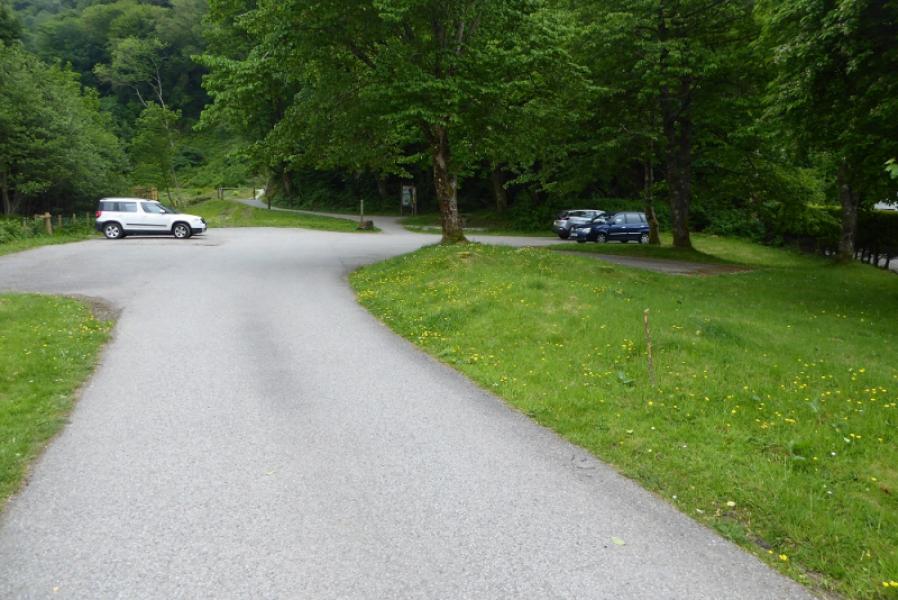
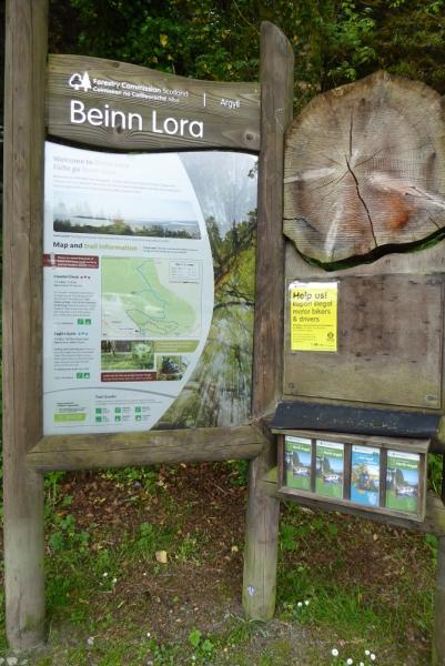
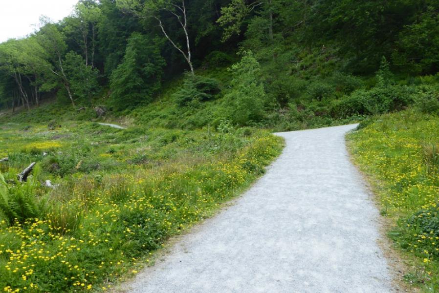
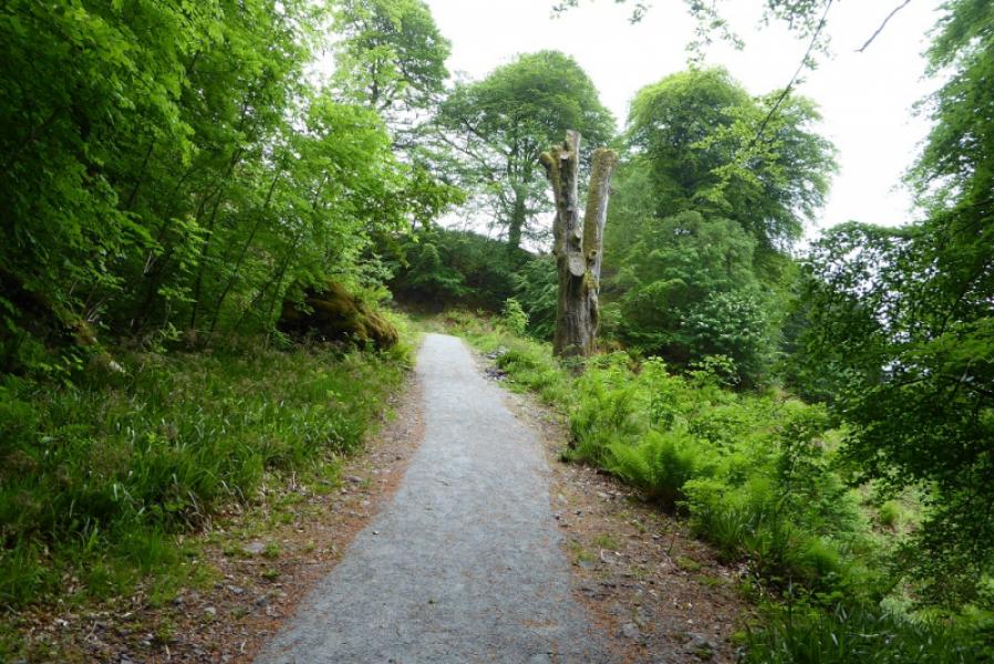
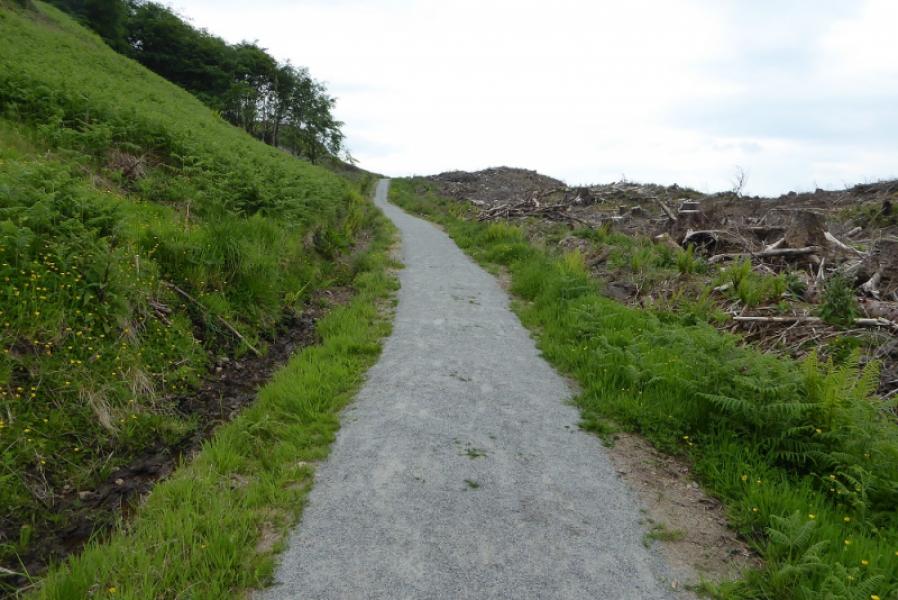
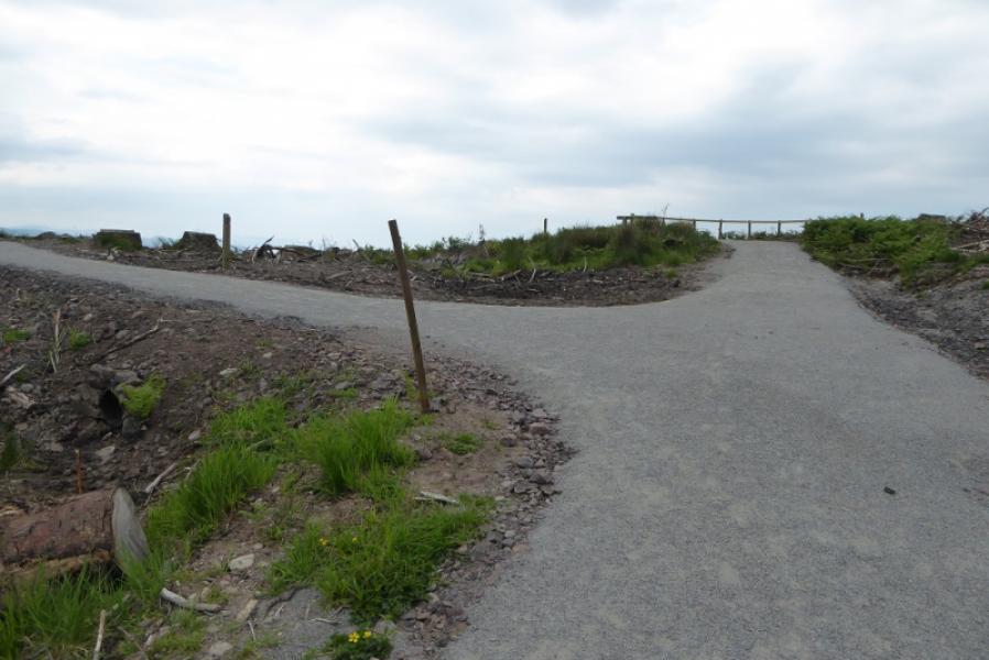
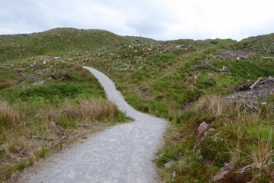
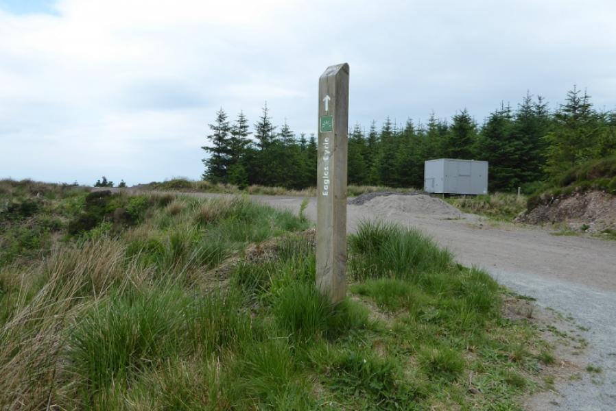
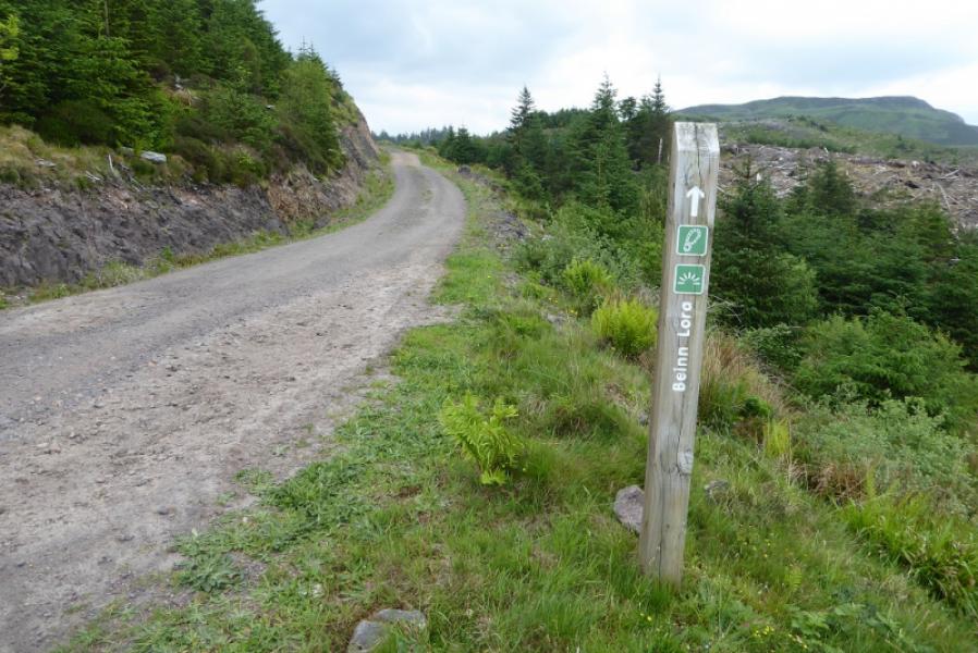
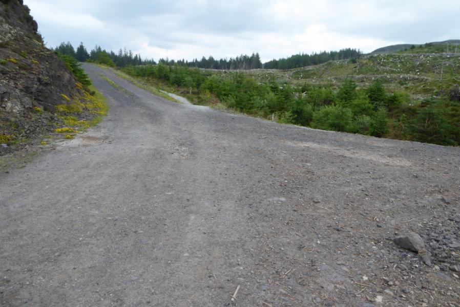
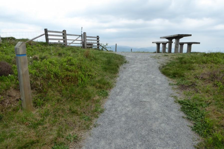
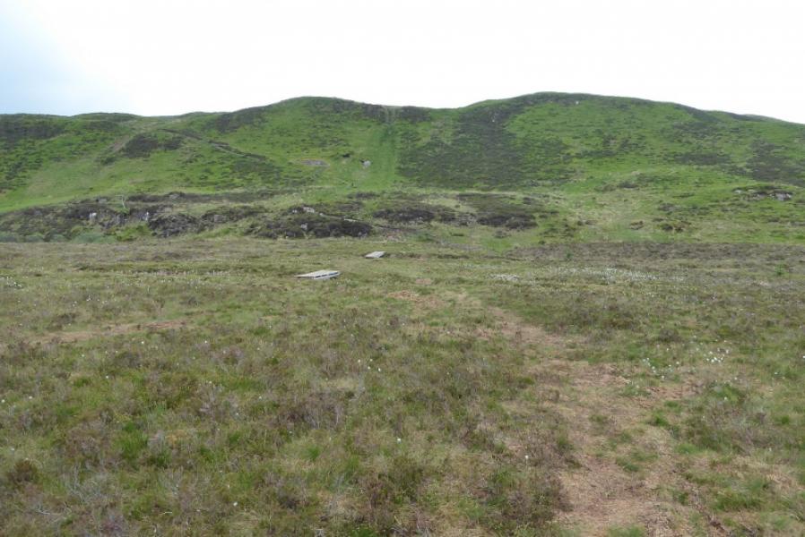
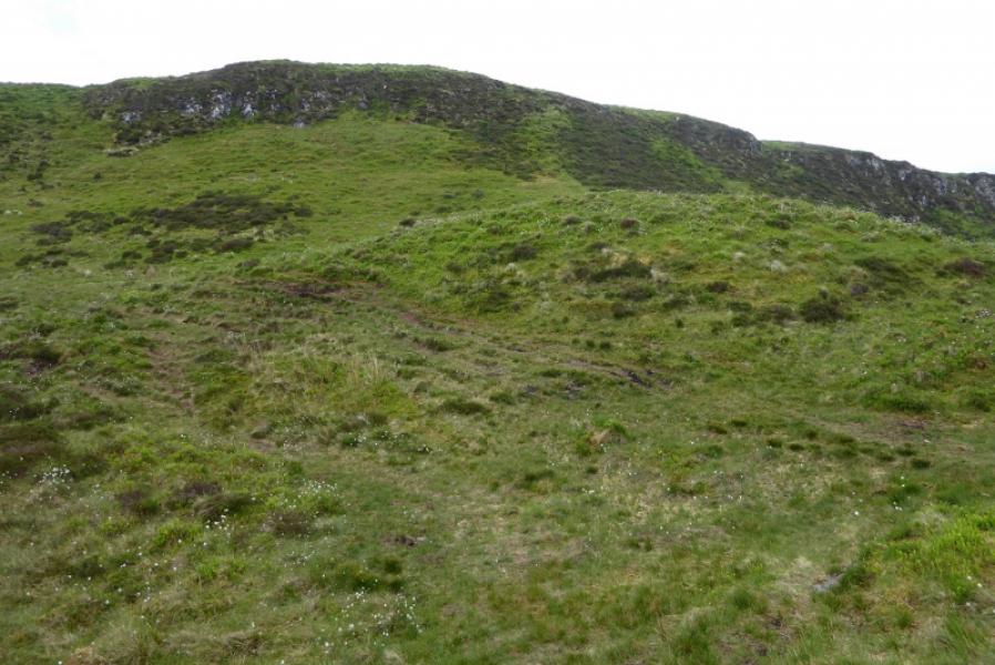
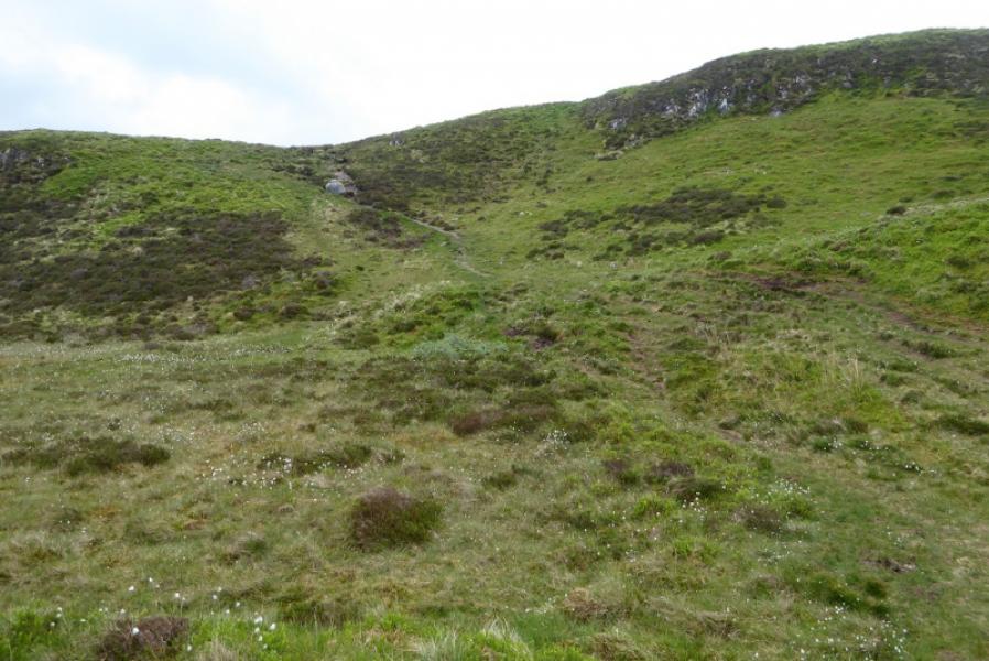
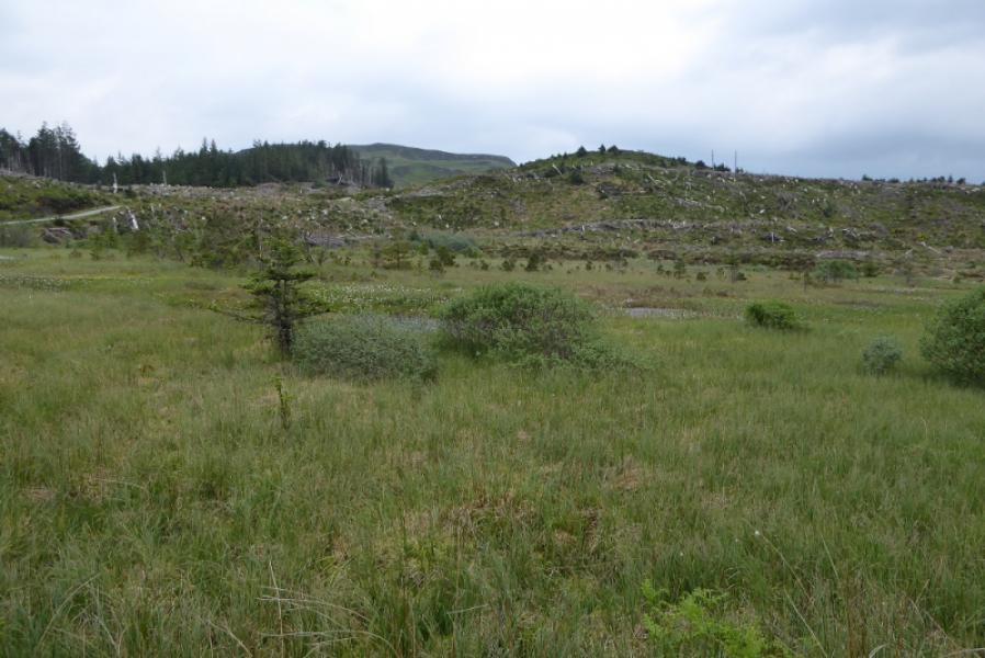
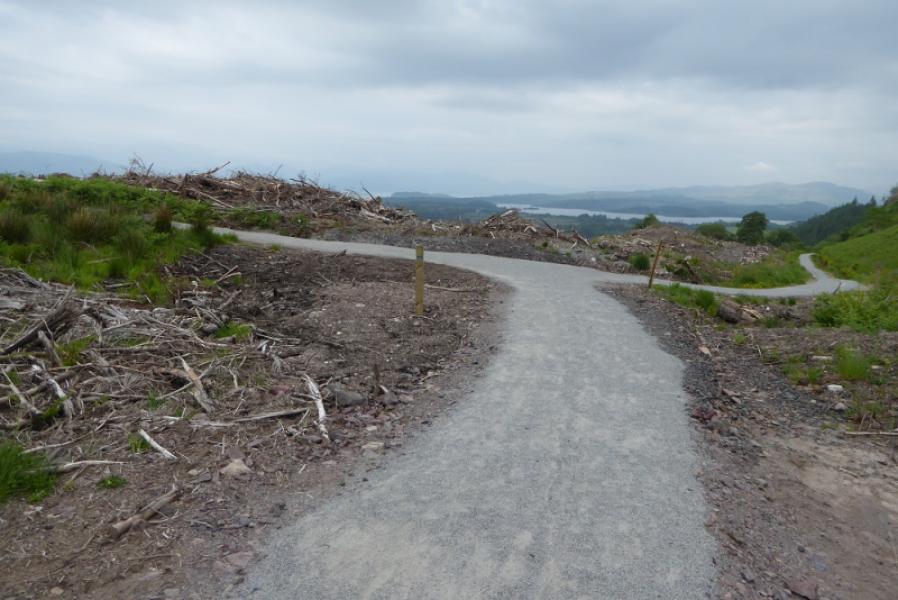
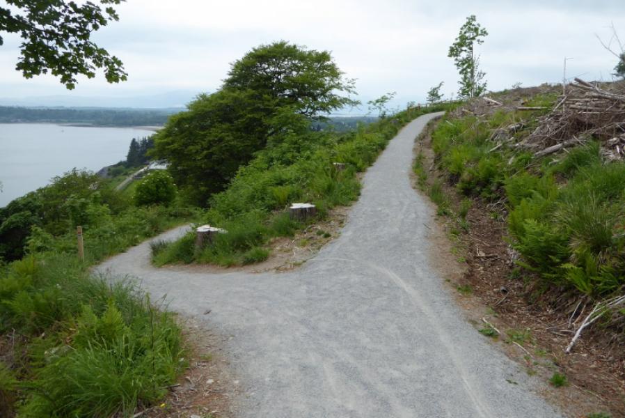
(1) Walk out of the back of the car park and take the left fork when the track splits. This is the north loop. Follow this, steeply in places, until it joins the south loop then continues up to meet a forestry road. Turn right (signed) and follow the track for a short distance to a junction where a path leaves the road and goes straight ahead. Follow this to a minor top with a picnic table and a gate on it. Go through the gate and follow the ordinary hill path down to a dip then up, slanting left, to soon rach the trig point which is the summit of Beinn Lora, 308 m.
(2) Retrace back to the junction with the south loop and follow this back down to the car park.
Notes
(a) This walk took place on 31st May, 2018.
Photos - Hover over photo for caption. Click on to enlarge. Click on again to reduce.