Get Lost Mountaineering
You are here: England » South Pennines
Stoodley Pike from Hebden Bridge via Pennine Bridleway & Pennine Way
Stoodley Pike from Hebden Bridge via Pennine Bridleway & Pennine Way
Start/Finish
Anywhere in Hebden Bridge between the Co-Op (on main road close to centre) and about a mile west of here along A646 towards Todmorden. It should be possible to park for free. If you take the road behind the Co-Op, cross the bridge then go left, there is some on street parking there. The post code of the Co-Op is HX7 6AA.
Distance/Time
13 km. About 3 – 4 hours.
Peaks
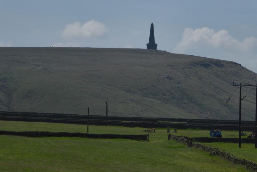
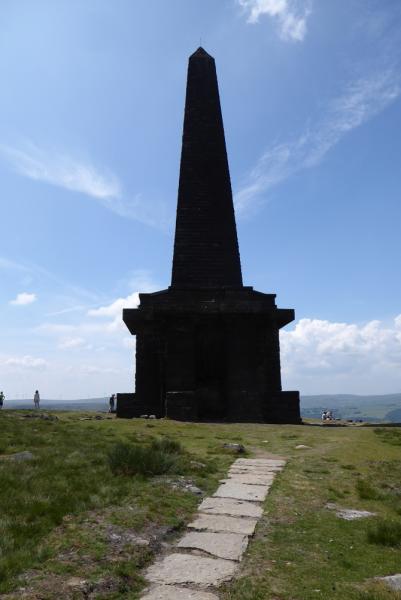
Stoodley Pike Monument, 402 m, SD 973 241. OS Outdoor Leisure 21: South Pennines.
Introduction
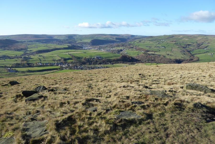
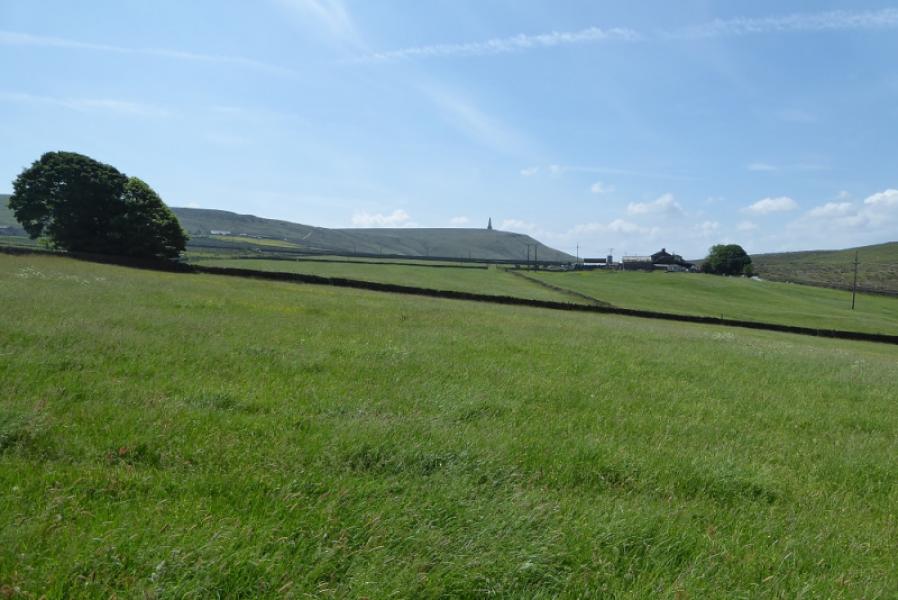
This is a very straightforward walk with a steepish road ascent at the start. The whole route is on good paths. Much of it is on the Pennine Bridleway and the Pennine Way. There are good views across and into the Calder Valley but not much to the south from the monument as the ground is fairly level.
Route
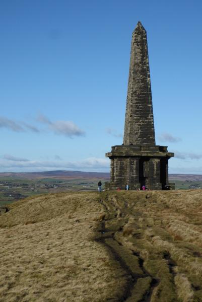
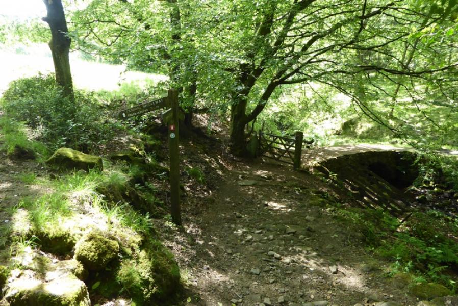
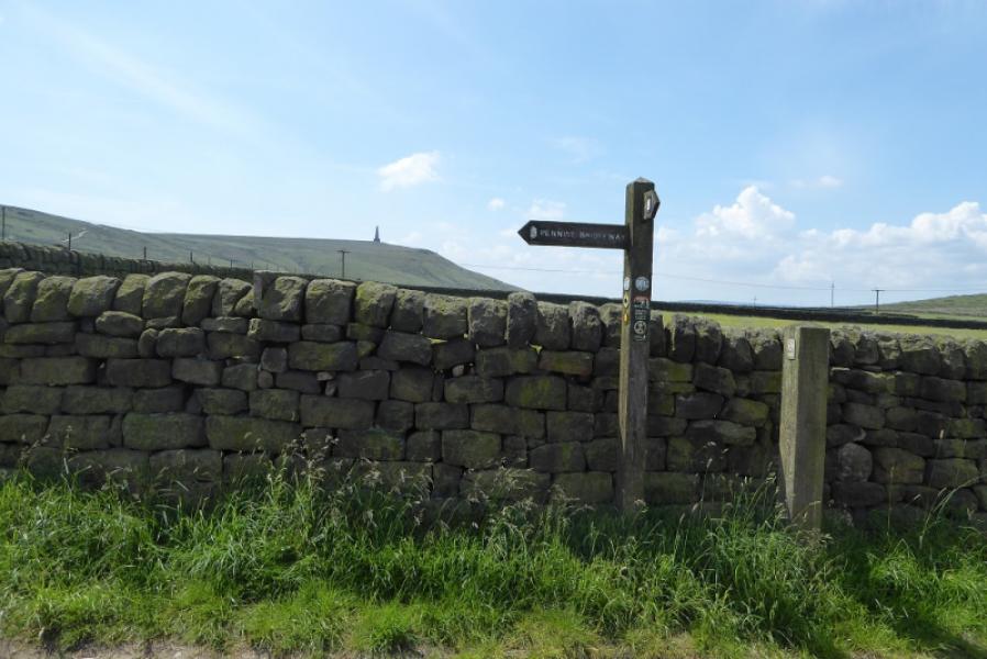
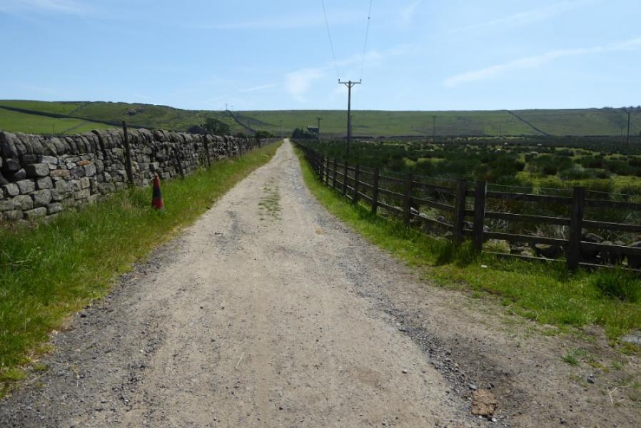
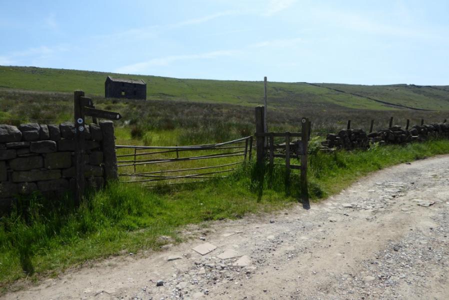
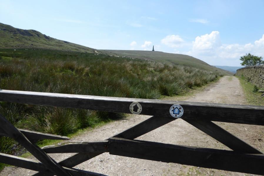
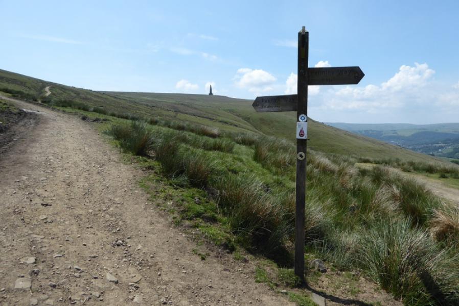
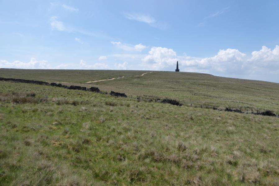
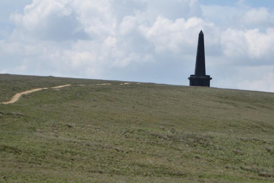
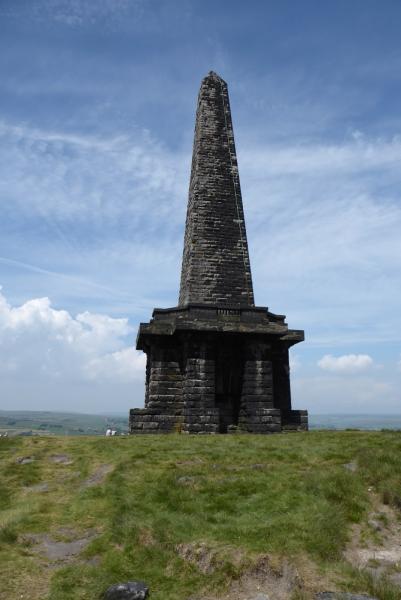
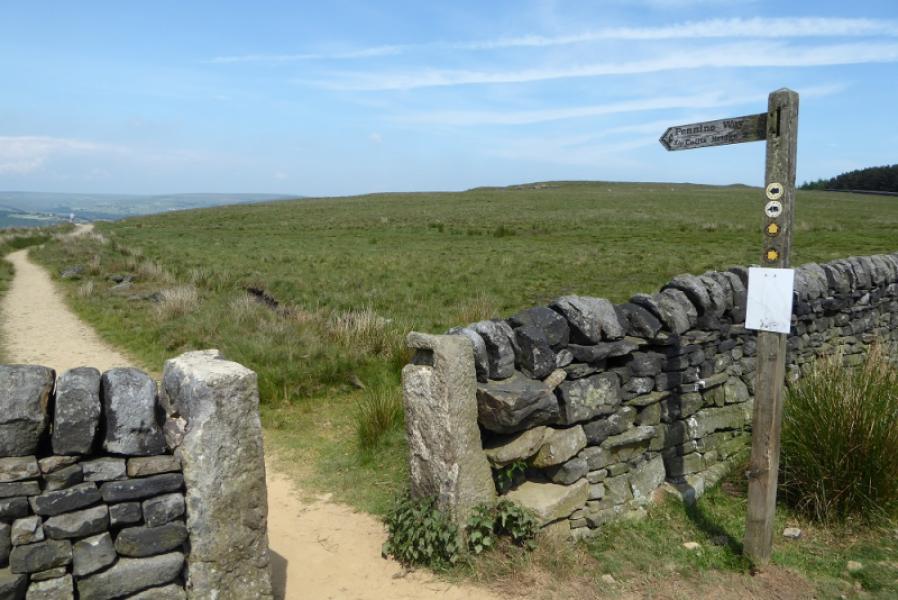
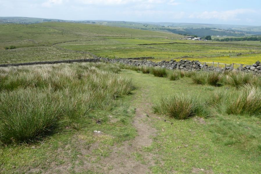
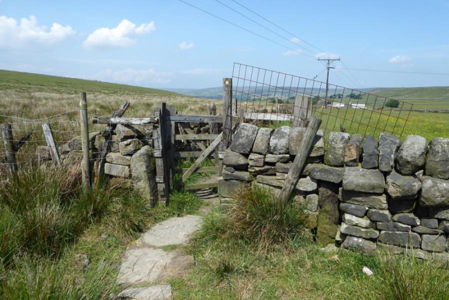
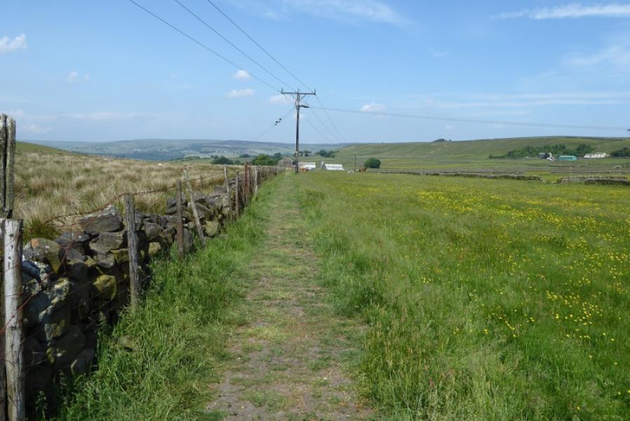
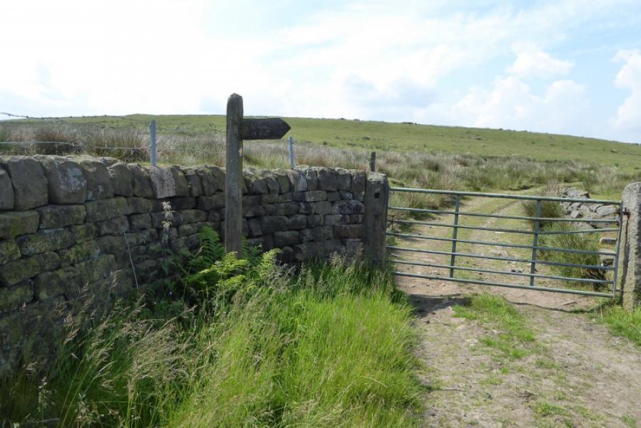
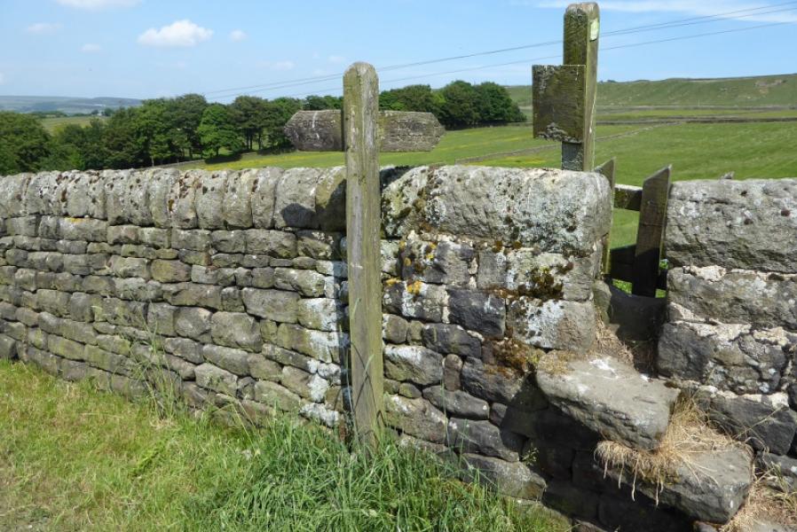
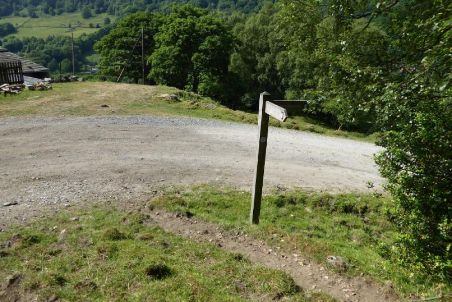
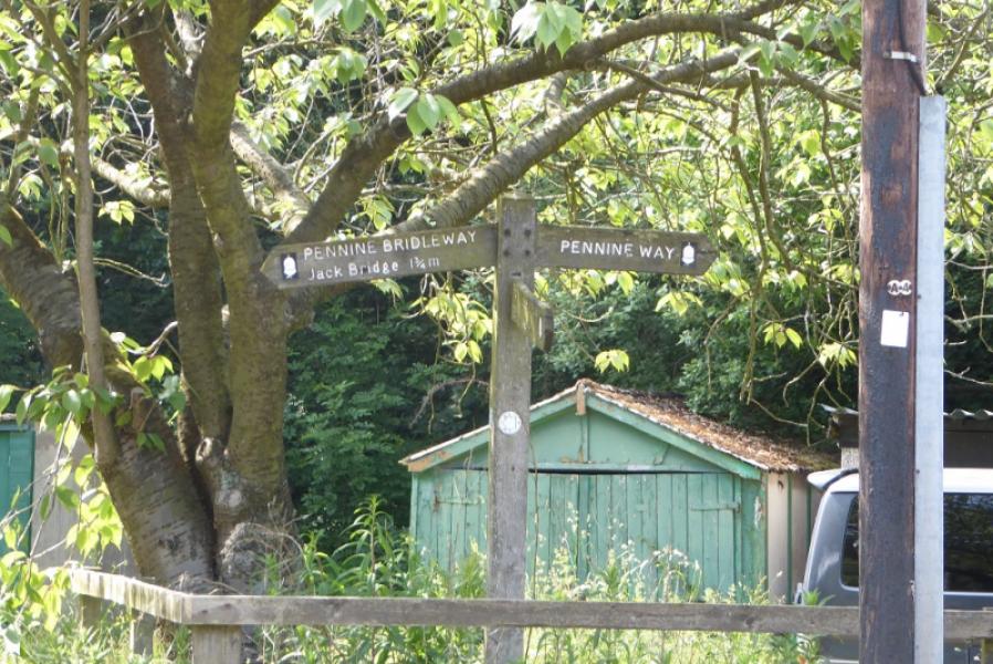
(1) Take the road behind the Co-OP which almost immedaitely crosses the canal where the road splits. Go right and follow New Road steeply uphill. The road becomes cobbled when the gradient eases. Further on, at a left hand bend, leave the road and go straight ahead on a track/path following a deep cut stream on your right. Follow this until the Pennine Bridleway is joined. Stay on the same side of the stream and follow the track/path up. Once the stream runs out, the route is well signed and very obvious. It roughly heads for below the obvious crest ahead which runs W to Stoodley Pike. The path reaches a track which leads to below this crest before turning towards the monument which should be obvious in clear weather. Follow the track past Swillington Farm after which it climbs onto the crest and soon reachesStoodley Pike Monument, 402 m, a huge obelisk. There are steps inside taking one up to a balcony but it is almost pitch black climbing the stairs so take a torch!
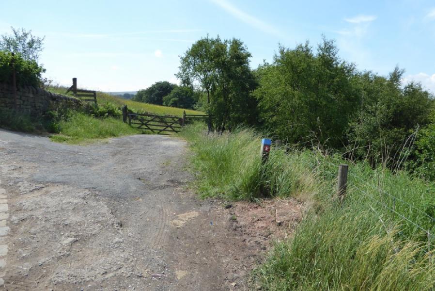
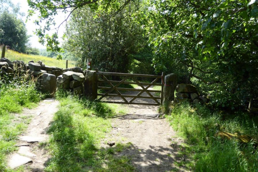
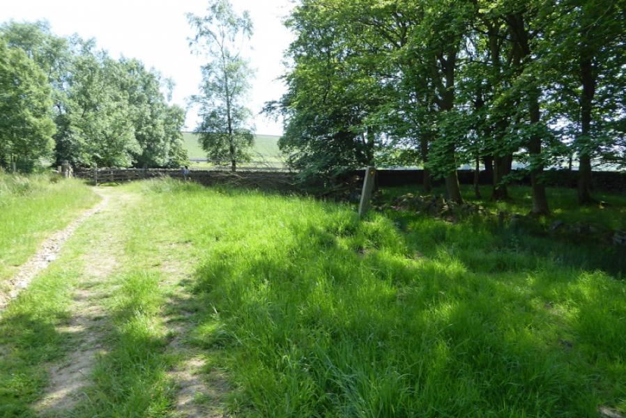
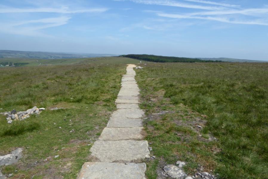
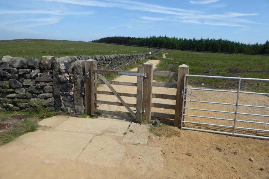
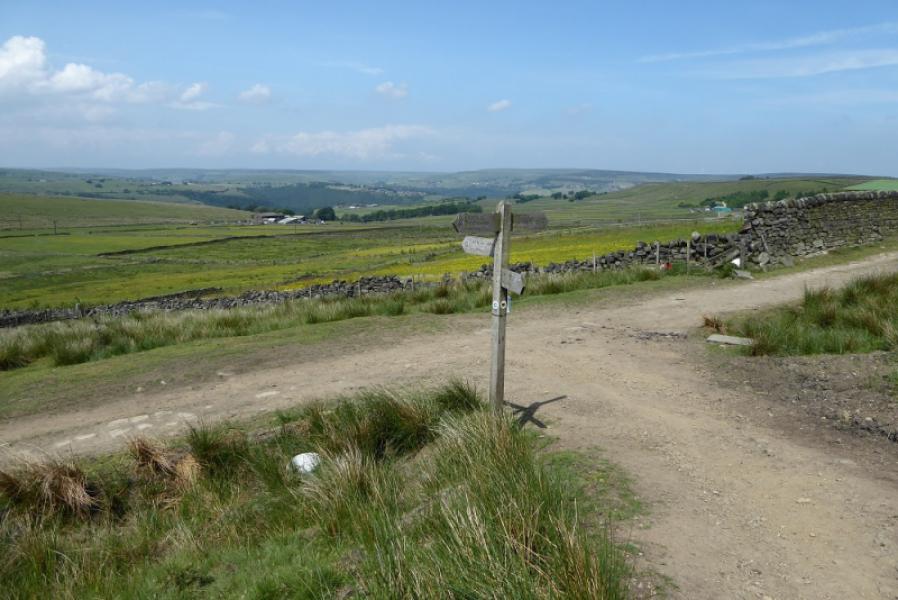
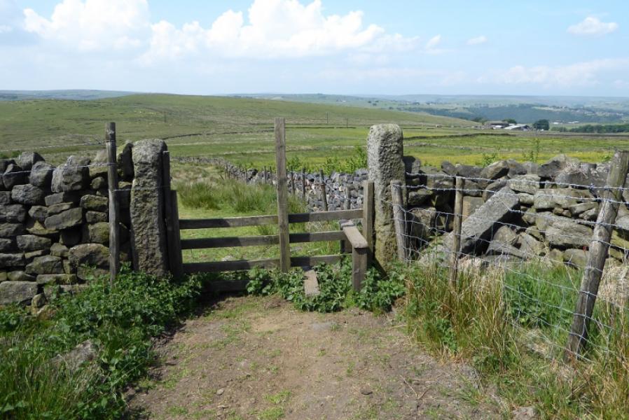
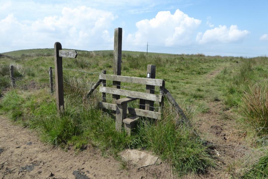
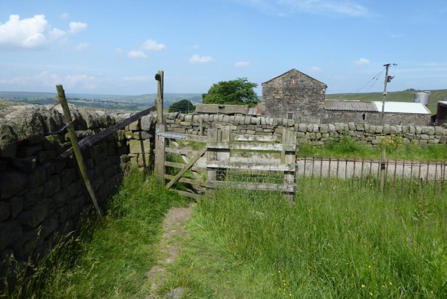
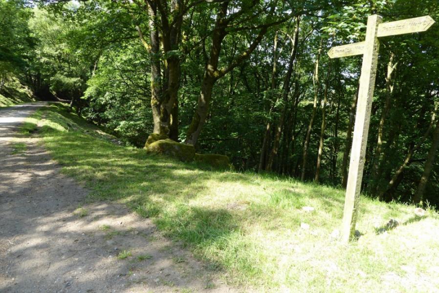
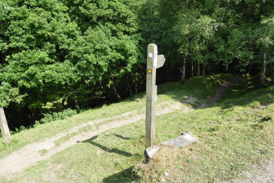
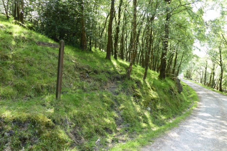
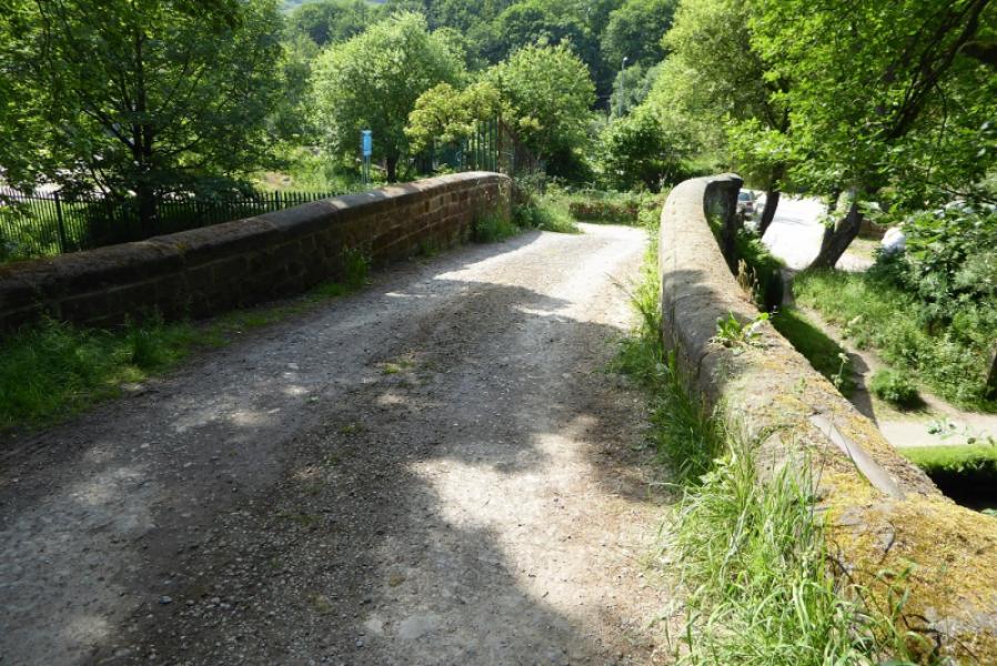
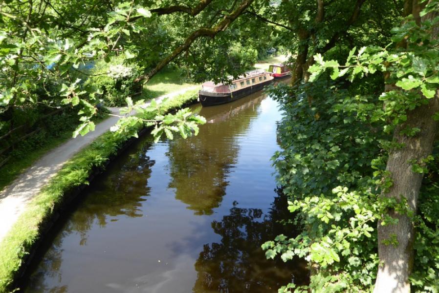
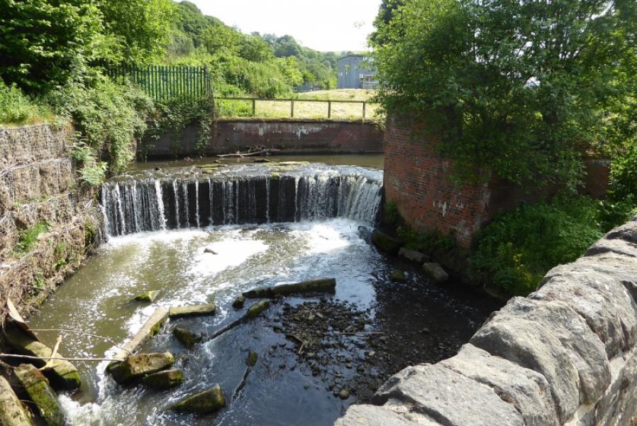
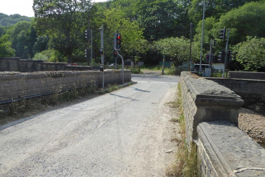
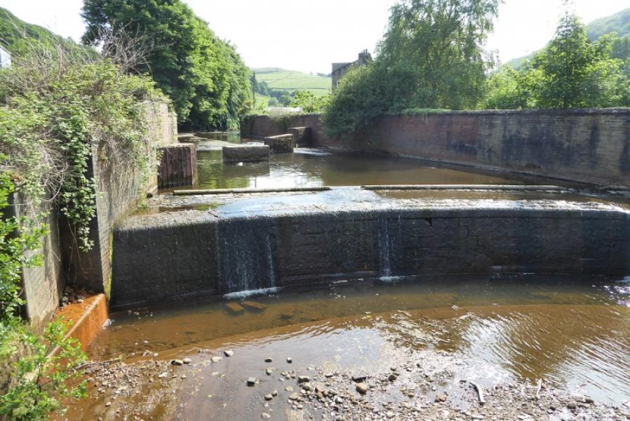
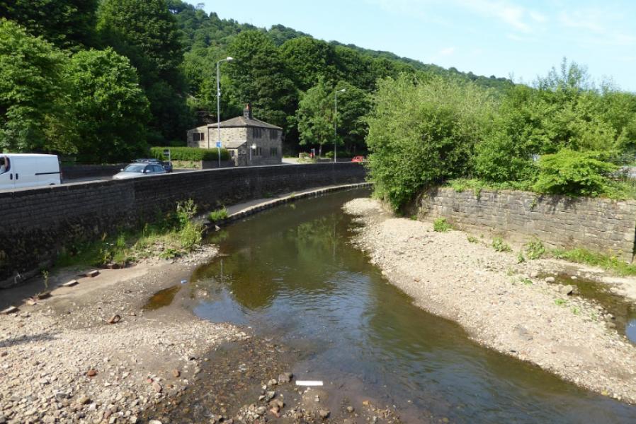
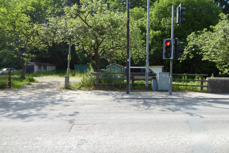
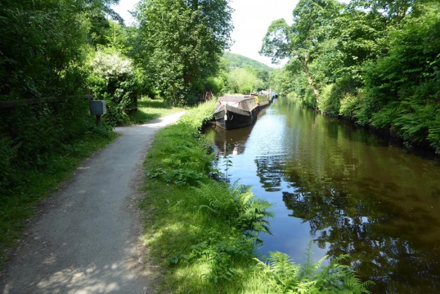
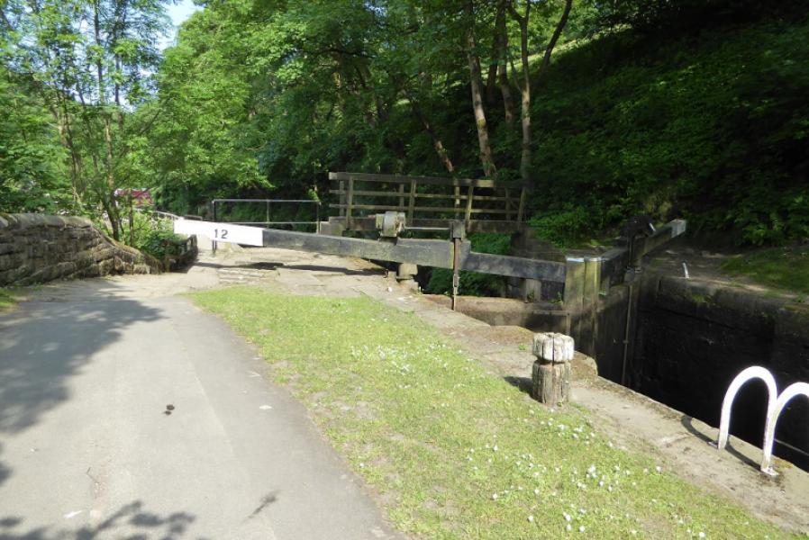
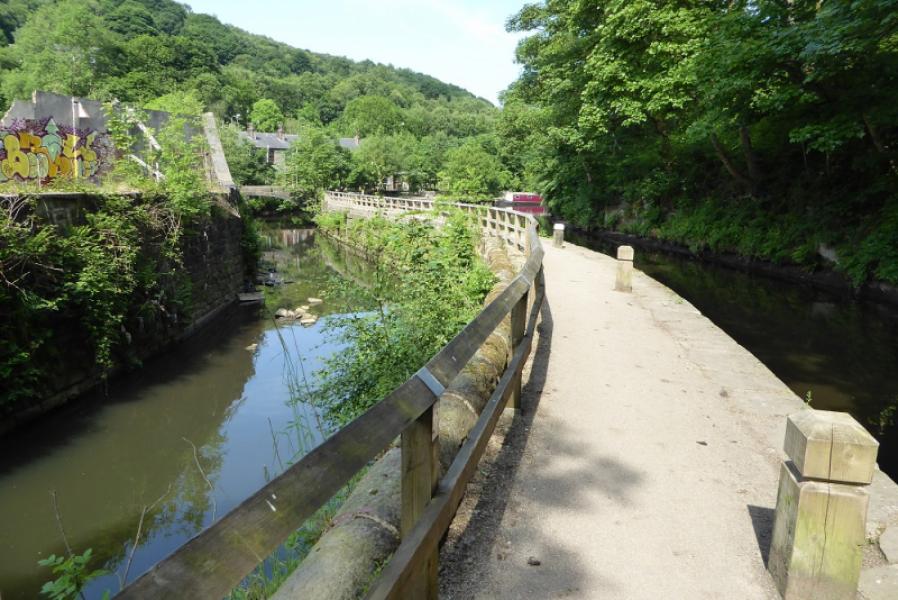
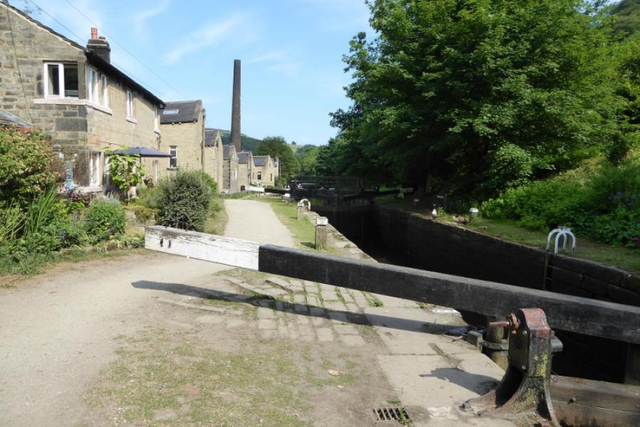
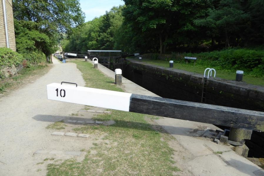
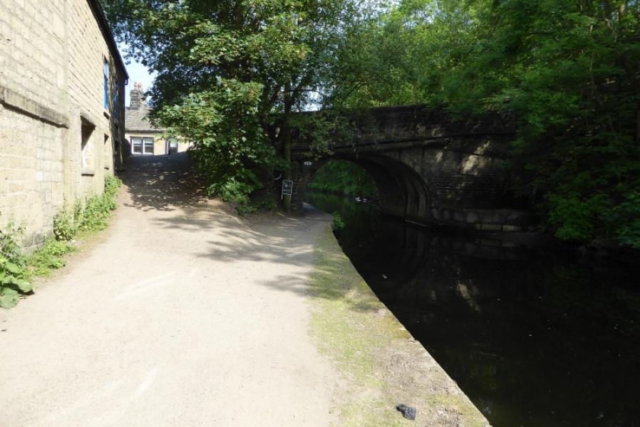
(2) Retrace the Pennine Way E from the monument which goes left before the obvious wood is reached. Reach a “crossroads”. The right turn is the way you came up and is the Pennine Bridleway. Instead of this, cross the track and follow a narrow path down to a stile. This section has the worst ground especially in wet weather. Continue down to reach a stile on the right just before the path goes left. Go over the stile or fence (fallen down) and follow a path which later becomes slabbed and leads, via a few gates to the track just before Lower Rough Farm. Follow the track down, ignoring all paths going off left or right. Lower down, an old track forks left then crosses back over this track before looping down to the right. Eithe rof these can be followed as they rejoin lower down. A sign lower down suggests that the main track is the Pennine Way but some maps say it is the lesser track! Follow the track down to a hairpin bend just before Callis Wood Farm then down to the Callis Canal Bridge, Weir then Callis River Bridge and a little further to the main road where, if continuing, the Pennine Way turns right, E. The most pleasant route back to the Co-Op is to retrace a little and follow the canal tow path E back to Hebden Bridge. The bridge behind the Co-Op is not far after the obvious very tall chimney. If your car is on the main road then you will have to decide whether to walk down the main road or cross one of the bridges between Callis Bridge and Hebden Bridge.
Notes
(a) This walk took place on 10th June, 2018.
Photos - Hover over photo for caption. Click on to enlarge. Click on again to reduce.