Get Lost Mountaineering
You are here: England » South Pennines
Hebden Bridge to The Pack Horse via Pennine Way
Hebden Bridge to The Pack Horse via Pennine Way
Start/Finish
Anywhere in Hebden Bridge between the Co-Op (on main road close to centre) and about a mile west of here along A646 towards Todmorden. It should be possible to park for free. If you take the road behind the Co-Op, cross the bridge then go left, there is some on street parking there. The post code of the Co-Op is HX7 6AA.
Distance/Time
19 km. About 6 – 7 hours.
Peaks
There are no peaks on this route.
OS Outdoor Leisure 21: South Pennines. OS 103: Blackburn & Burnley
Introduction
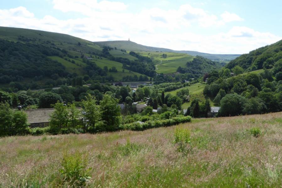
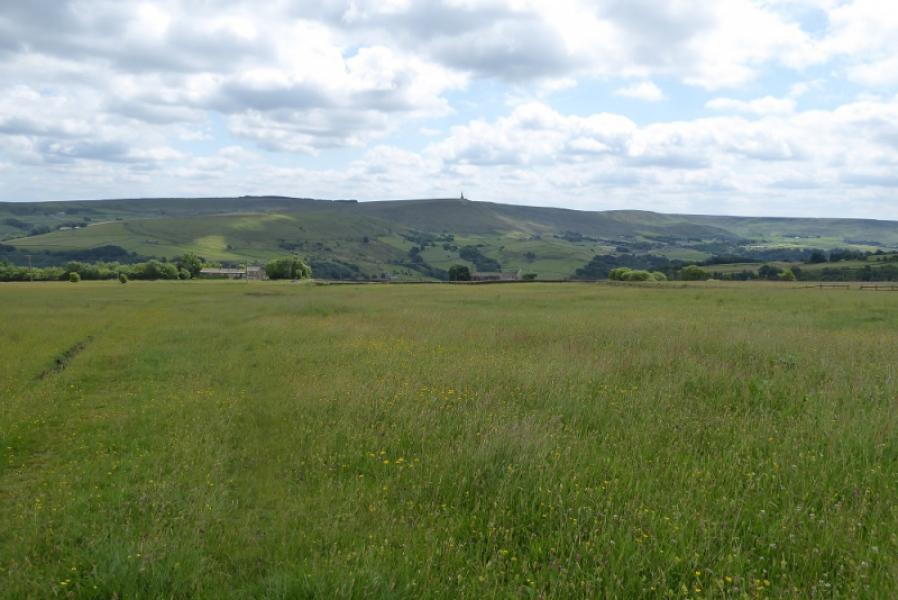
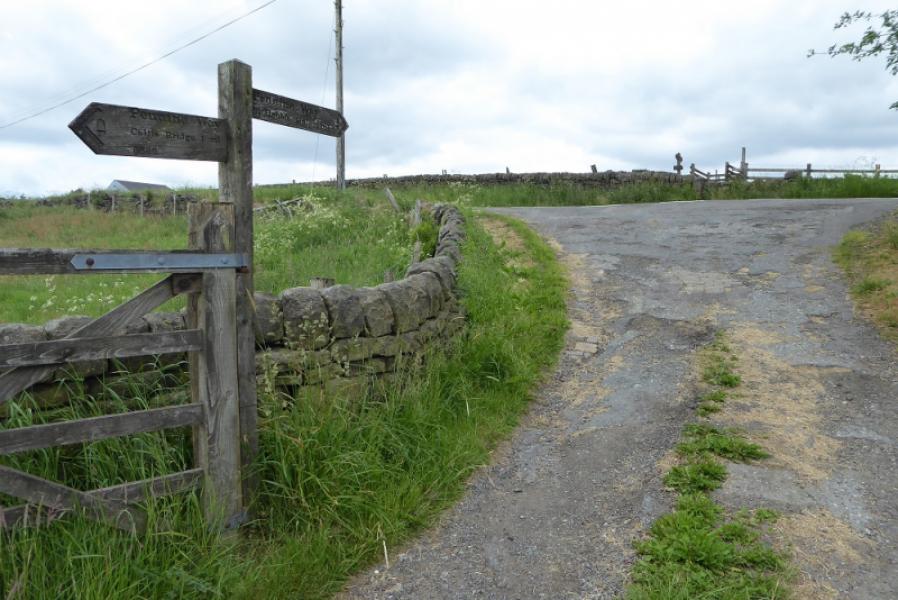
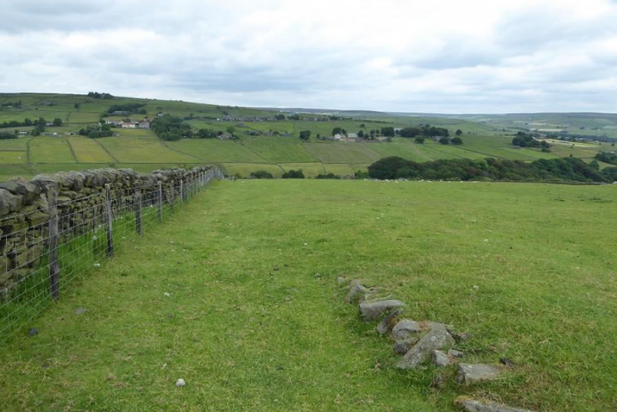
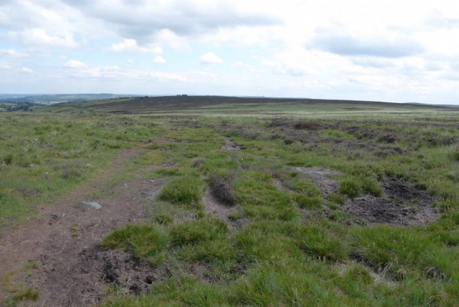
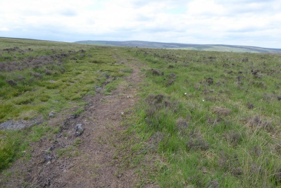
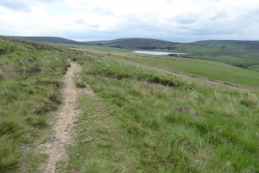
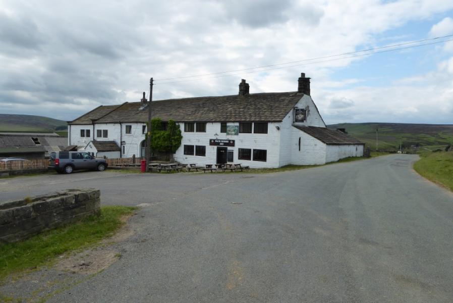
This could be one of the least interesting sections of the Pennine Way with no exciting views, poor footpath signage and some poor paths. The climb up from the main road at the start is quite steep and poorly signed. The views don't really improve until Mount Pleasant is passed when one is then on open moorland. There are various returns from the Pack Horse Inn if one does not have a second car. The best view is across Calderdale to Stoodley Pike Monument.
Route
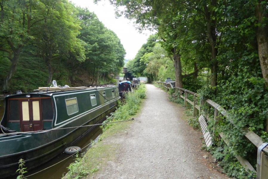
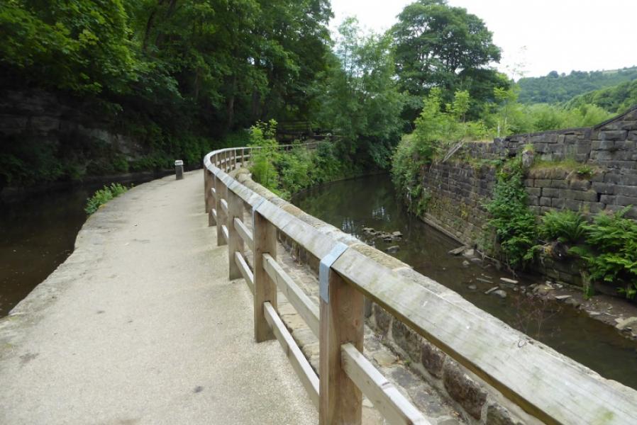
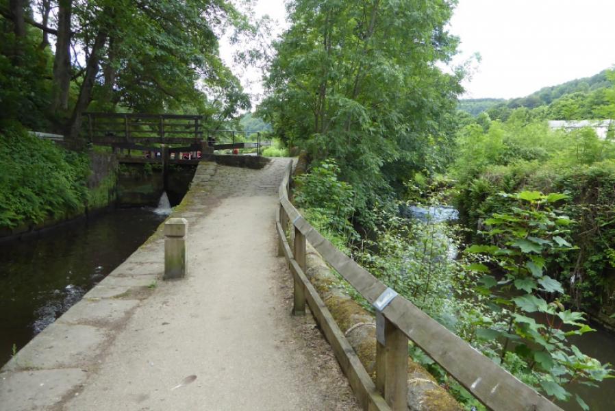
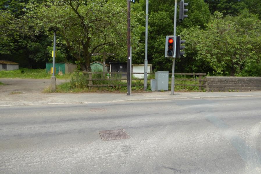
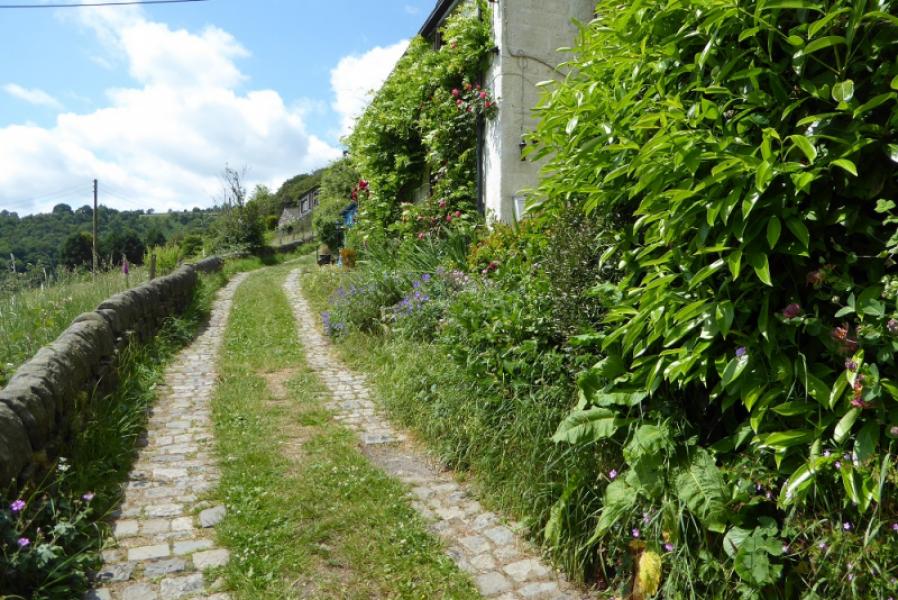
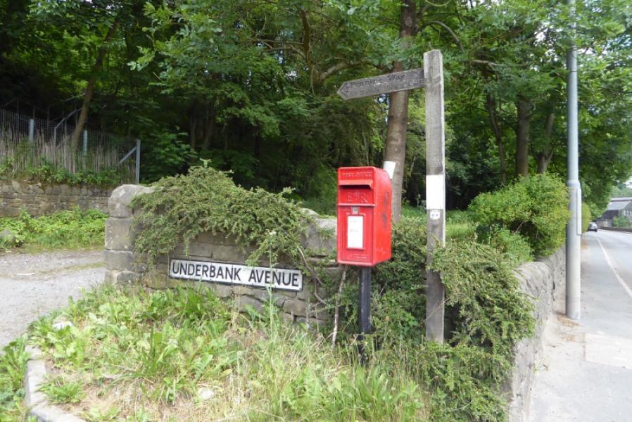
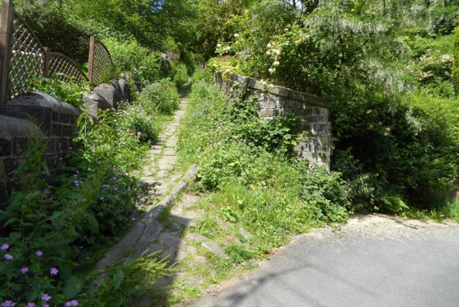
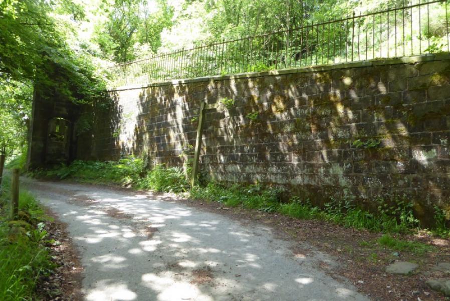
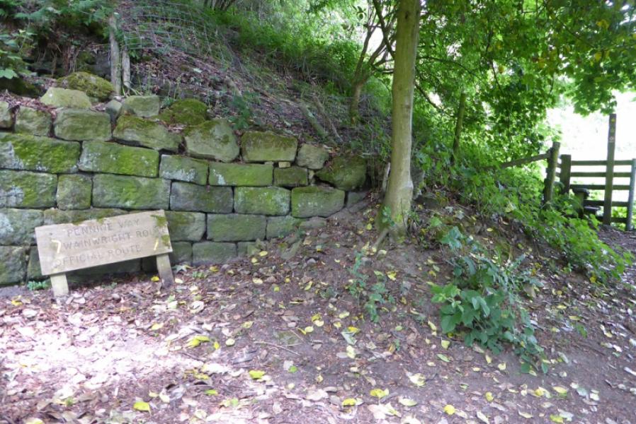
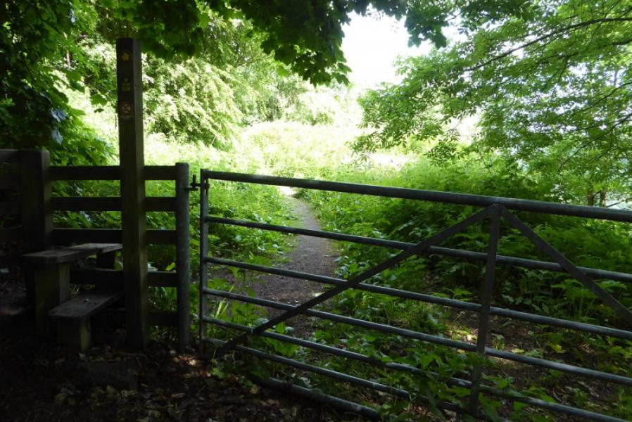
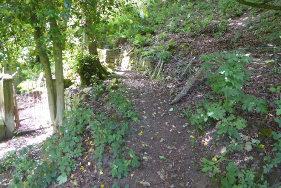
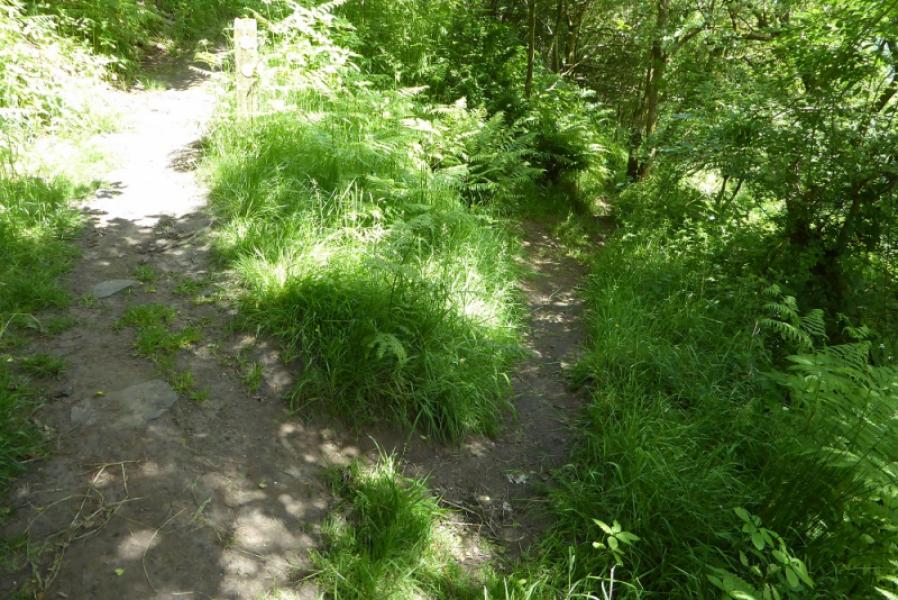
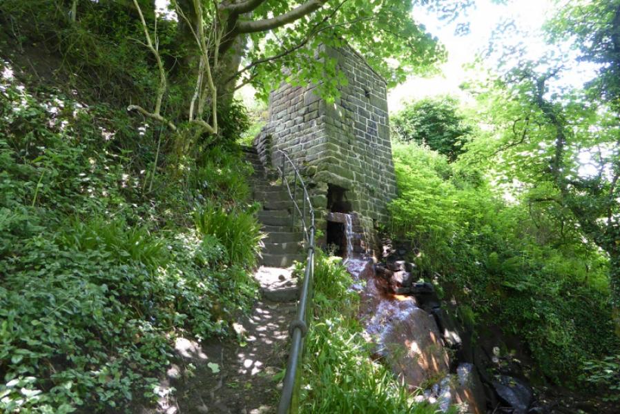
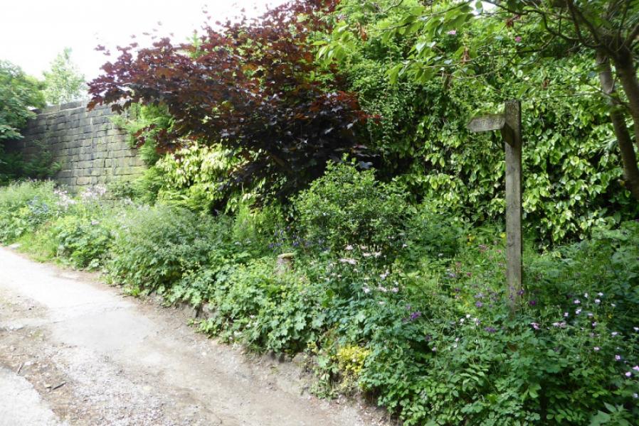
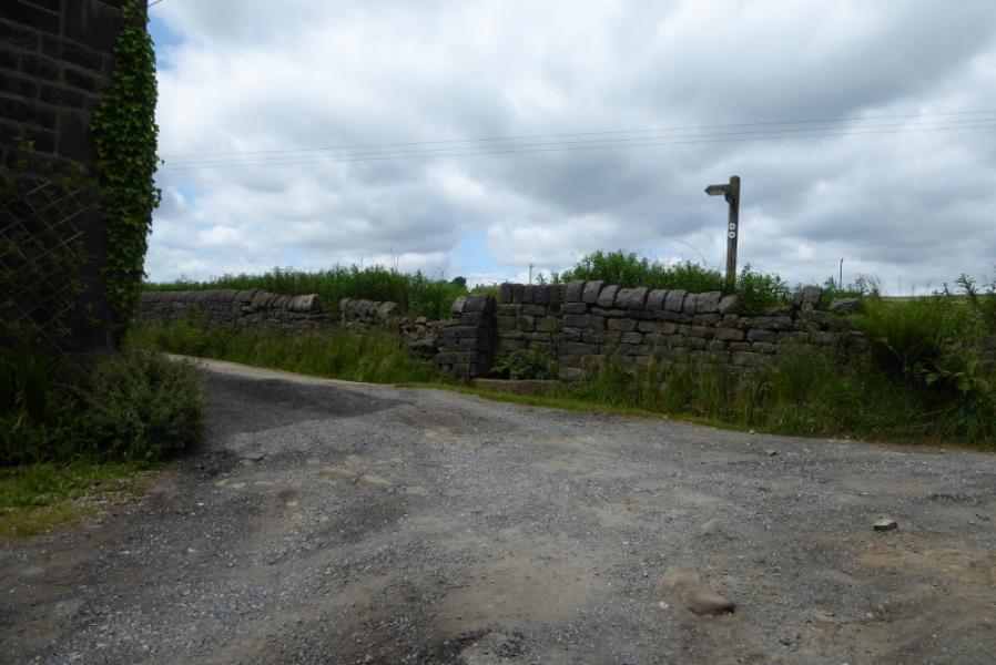
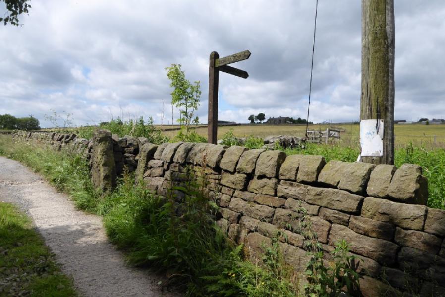
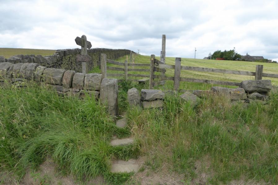
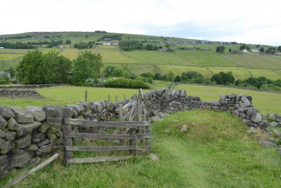
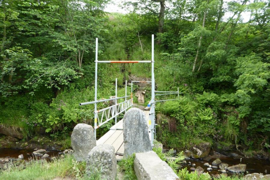
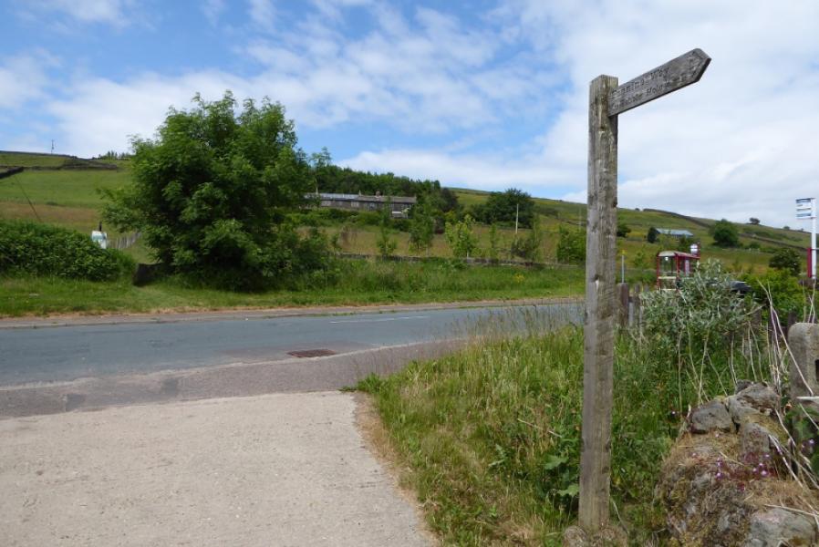
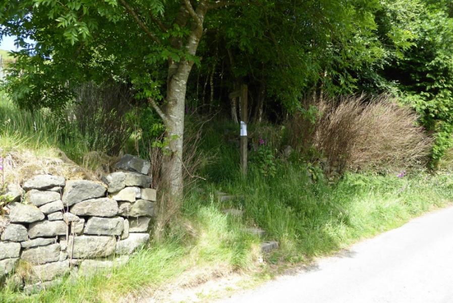
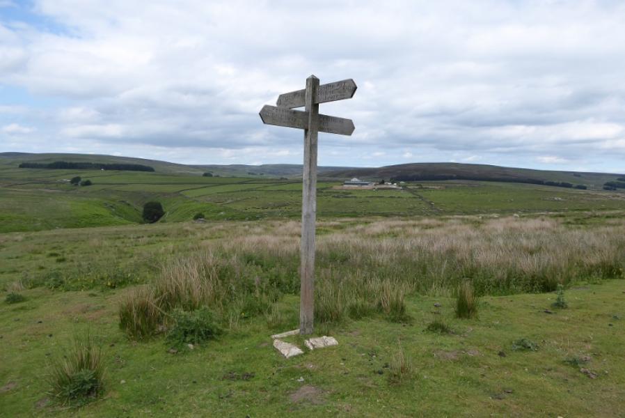
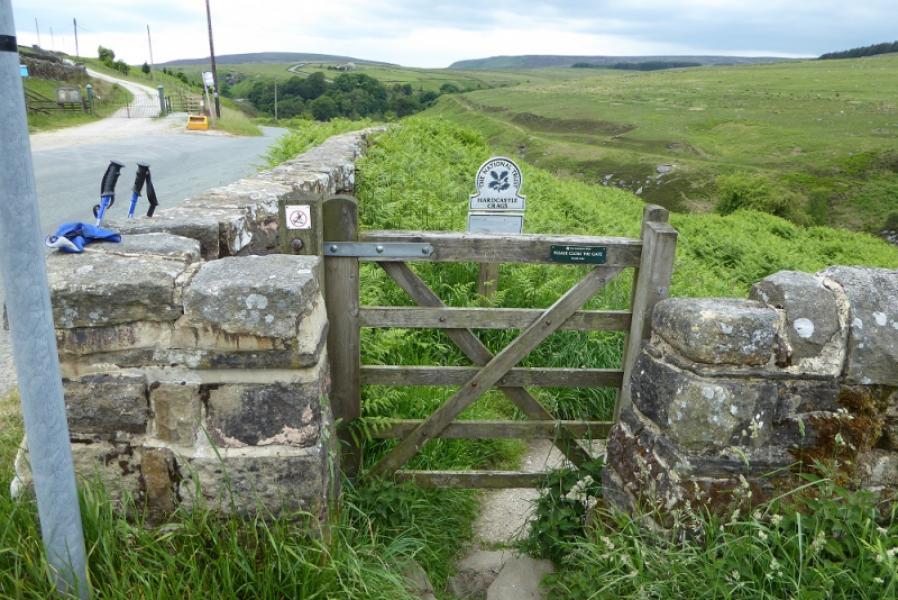
(1) Find the canal towpath behind the Co-Op and follow it W towards Todmorden. If parked further W then access the canal towpath and follow it W. After about 2 km, pass some residential moorings with their own gardens then leave the towpath and go right along a short track to reach the main road at some traffic lights. Cross over and turn right, towards Hebden Bridge, to soon reach the Pennine Way sign by a post box. Turn left here, go under the railway viaduct the go straight ahead up a steep cobbled path when the track tuns right. Follow the oath up to reach a track. Turn left and follow this to reach a high wall, on the right, which guards a small graveyard. Turn sharp right here and go through the gate on to an almost level narrow path. Follow this. Later on, it climbs and passes a square tower before reaching a track. Go left here then soon after, leave the track and go right at a signpost. Walk over easy fields to reach Badger Lane. Cross over and continue past Badger Fields Farm. Once over the brow of the hill, descend gradually before being squeezed between 2 walls on a narrow path. Reach a track. Cross over and continue down to Colden Water, crossing by the obvious bridge.
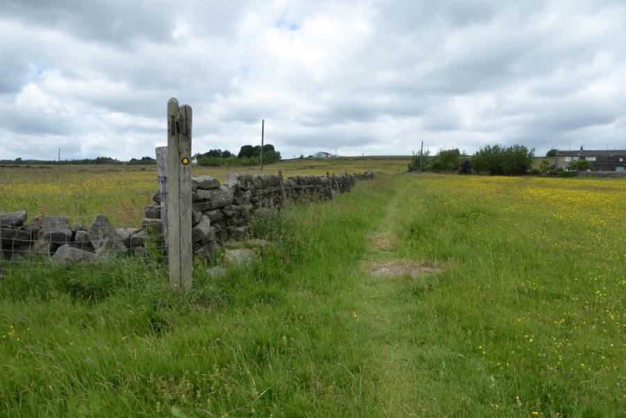
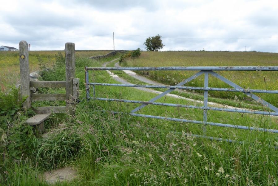
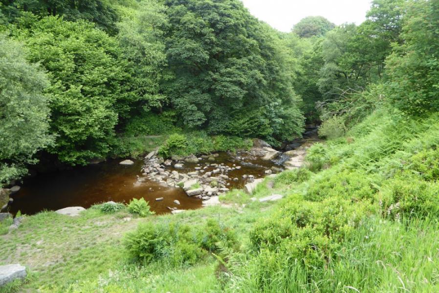
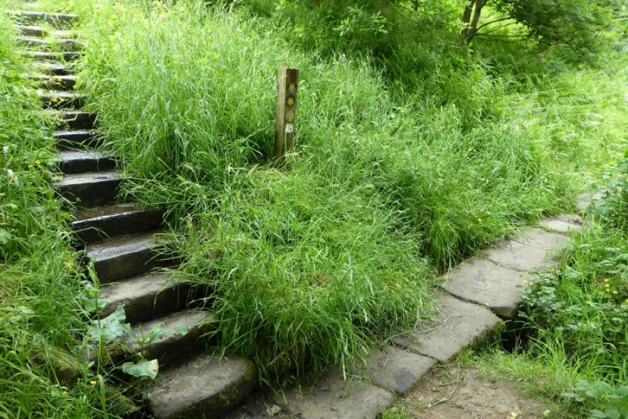
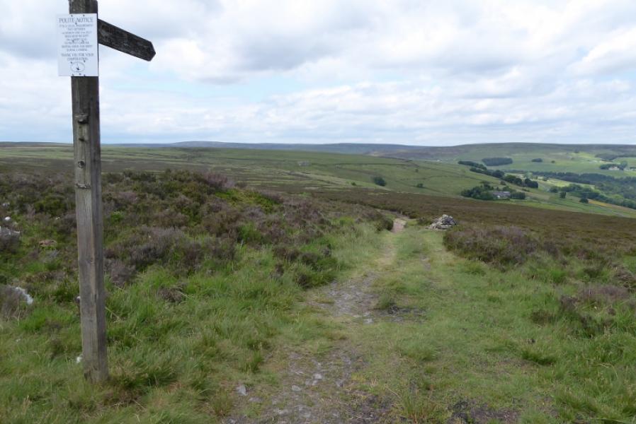
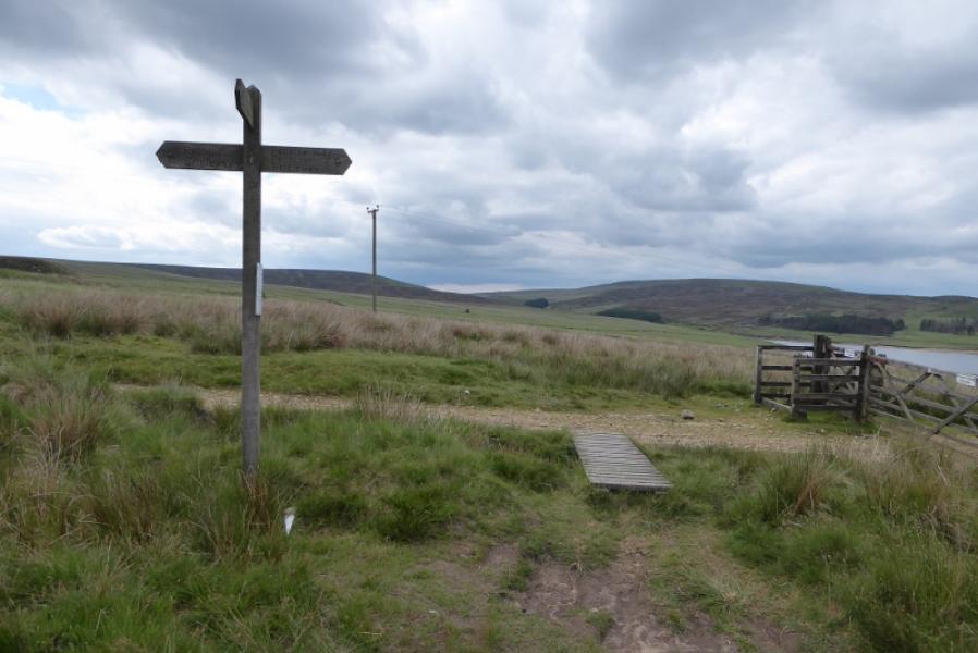
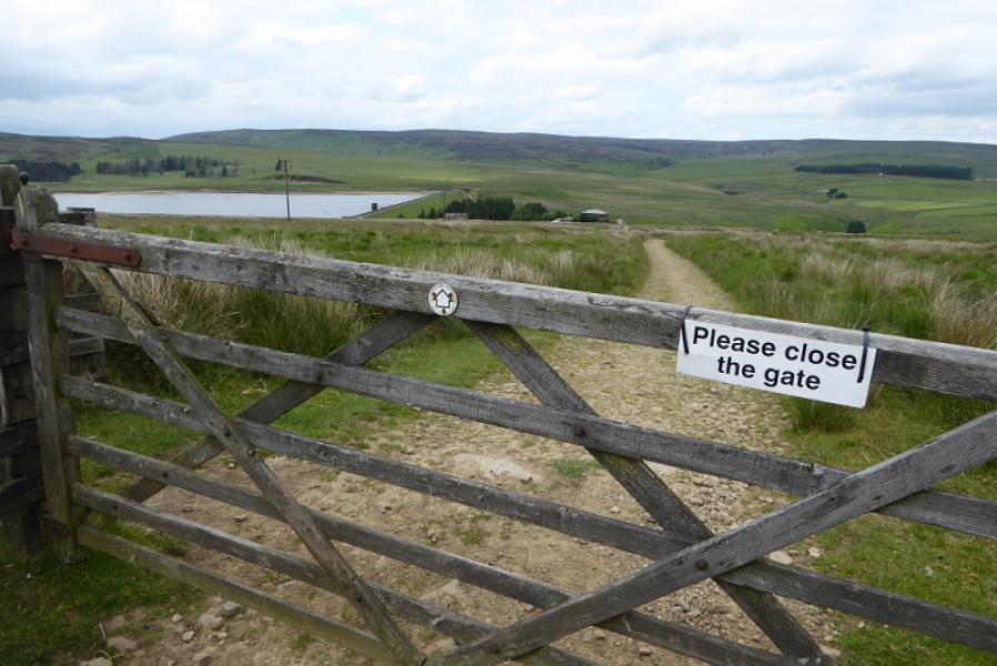
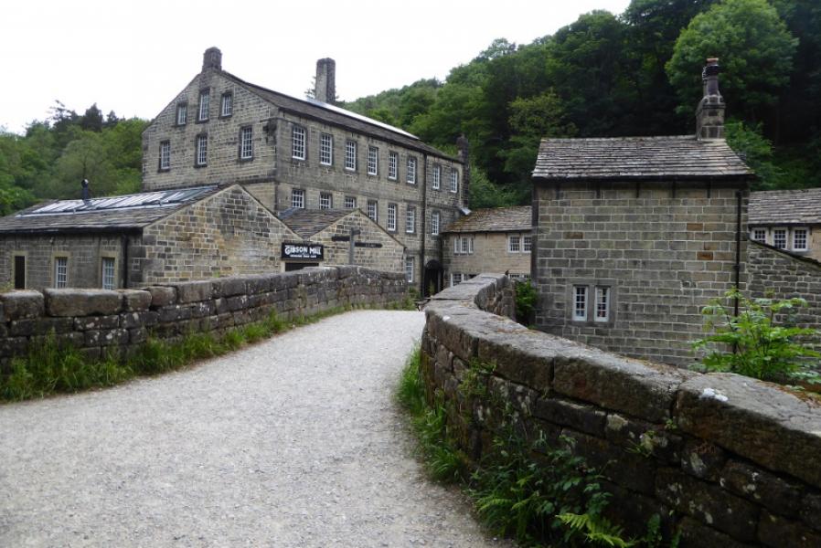
(2) Once across, follow the path until some steps can be climbed on the left. Further on the path splits; take the left fork and follow the path to the road not far from Colden. Cross over and continue N on a fairly obvious path. Go over the brow of the hill with a wall on the right and continue down to a signpost by a house known as Mount Pleasant. The Pennine heads NW from here across open moorland. The path is fairly obvious and gradually curves around to W. In clear weather, Gorple Lower Reservoir will be obvious. The Pennine Way joins the Pennine Bridleway at a signpost on a track. Turn right and follow the track down towards Gorple Cottages, passing through a gate to a bridge before joining the reservoir access track. Go straight across (signed) and follow the path down to cross Graining Water by 2 footbridges. Follow the path N on the E bank of the river Reach the start of a track on the right which leads to the main road. Once on the road, turn R and walk SE to pass the Pack Horse Inn. Continue down the road to reach the bottom of the zig zags. It is possible to enter Hebden Dale here and follow it down. If staying on the road, continue until just past the start of the access road to the reservoir. Go through the gate on the left, Widdop gate, and descend steep steps before reachin g a level path. Turn right and follow this down the dale. The path eventually descends to the river then continues to Gibson Mill.Continue on the main path which soon climbs almost to the top of the wood before levelling out. Follow it until it joins a minor road. Follow this E then S until it joins the road coming down from the Pack Horse Inn. Join this road and follow it down into Hebden Bridge. There is a cobbled cycle path option but this is very steep. Once in the town, return to the start, via the canal towpath if appropriate.
Notes
(a) This walk took place on 12th June, 2018.
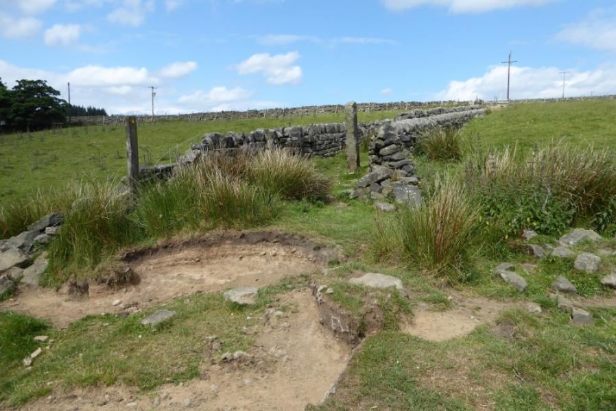
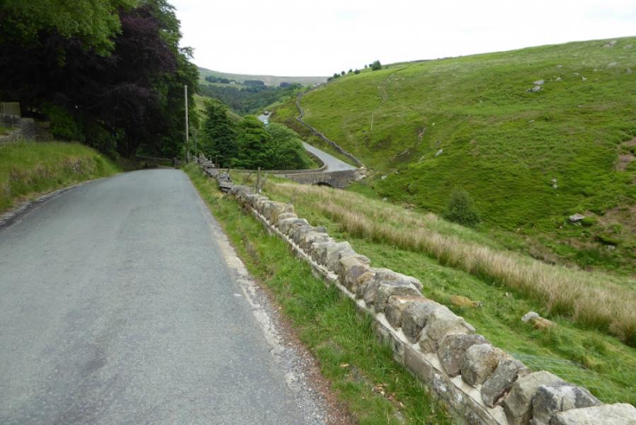
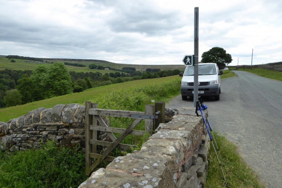
Photos - Hover over photo for caption. Click on to enlarge. Click on again to reduce.