Get Lost Mountaineering
You are here: England » Peak District » Bleaklow, Higher Shelf Stones & Cock Hill from Old Glossop & Snake Pass
Higher Shelf Stones & Aircraft Wreckage from top of Snake Pass
Higher Shelf Stones & Aircraft Wreckage from top of Snake Pass
Start/Finish
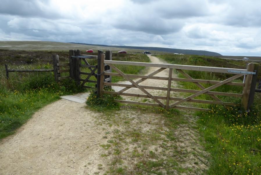
The top of the Snake Pass, the A57 between Sheffield and Glossop where there is usually plenty of verge parking.
Distance/Time
4 km. About 2 – 3 hours.
Peaks
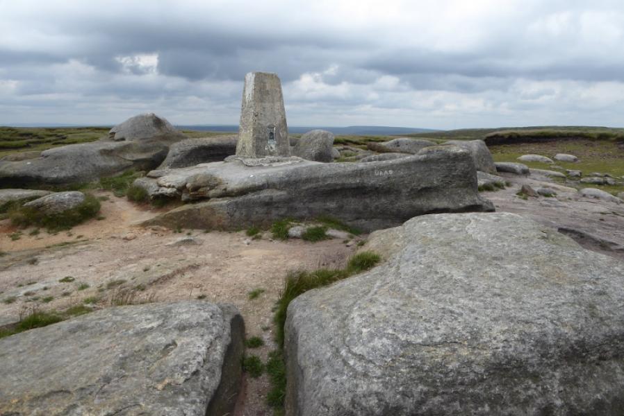
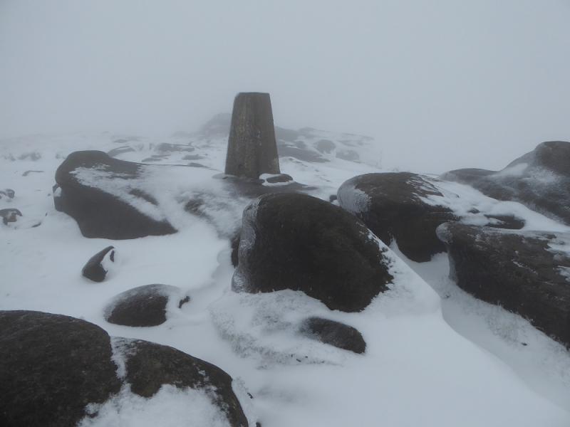
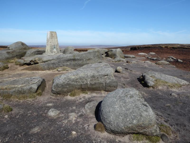
Higher Shelf Stones, 621 m, SK 088 947.
OS Outdoor Leisure 1: Dark Peak. OS Sheet 110: Sheffield & Huddersfield
Introduction
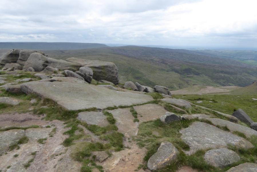
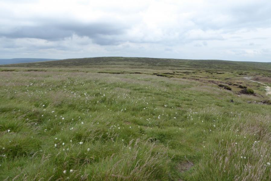
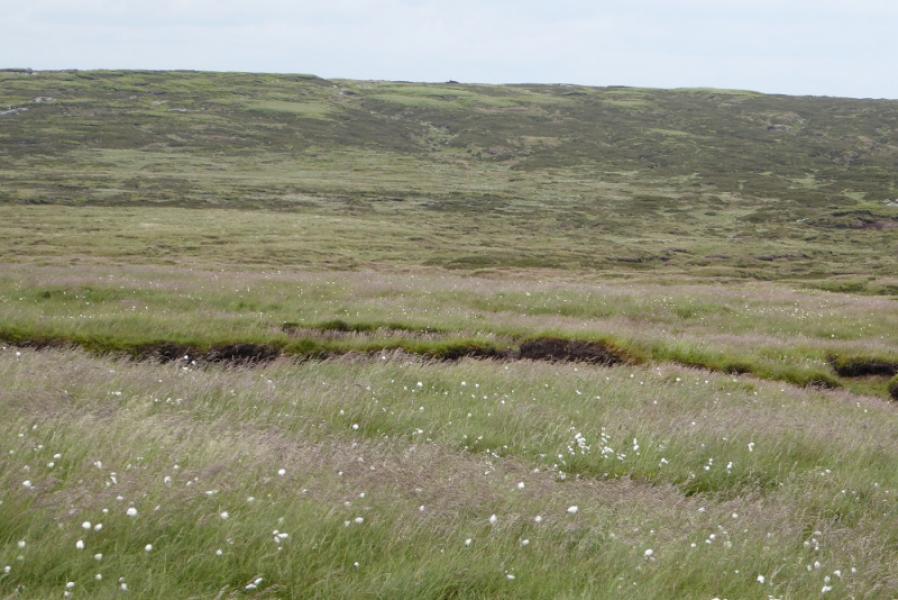
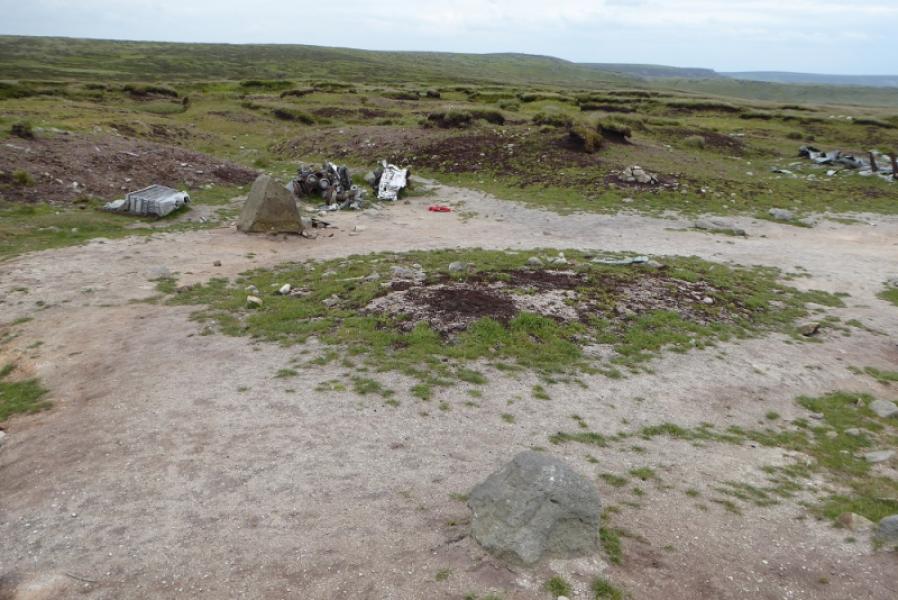
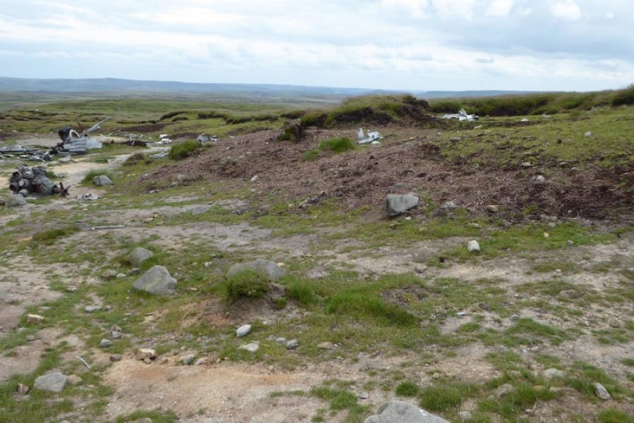
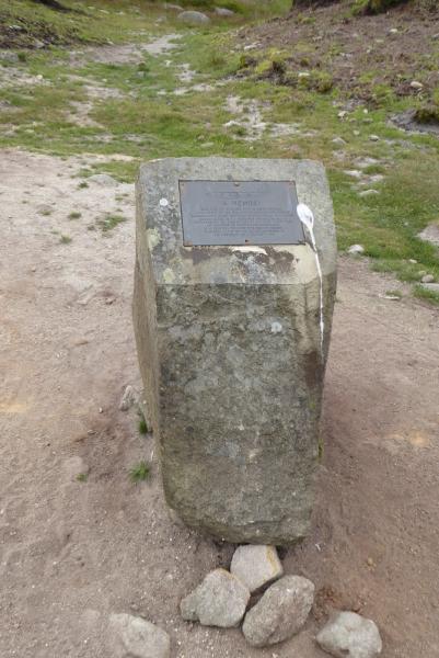
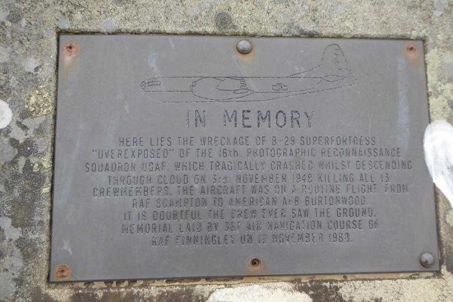
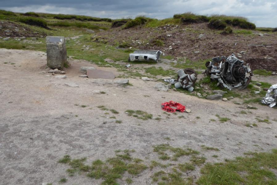
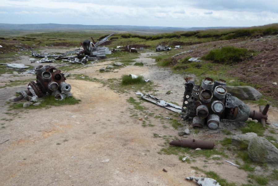
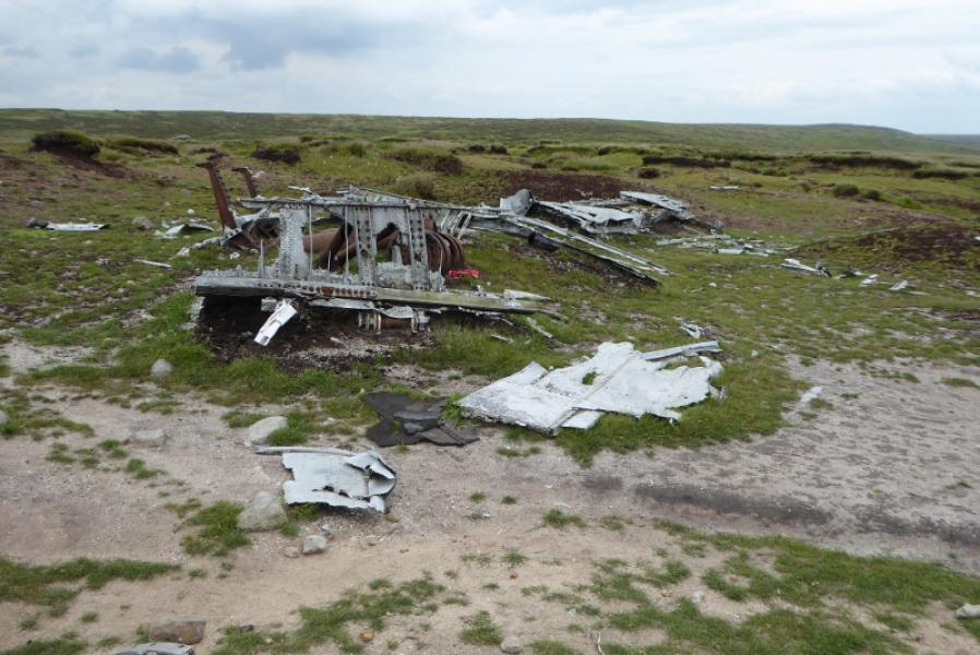
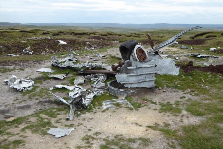
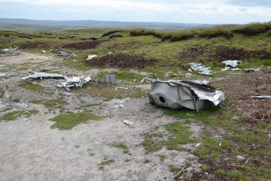
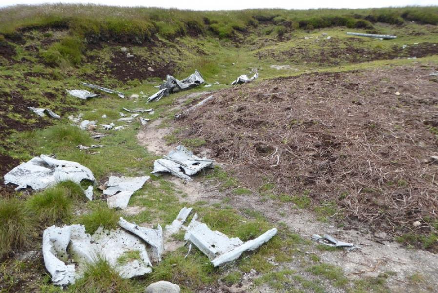
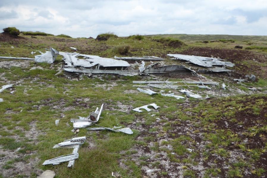
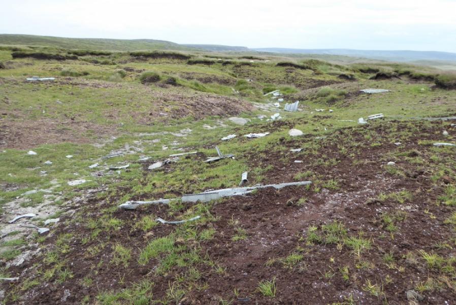
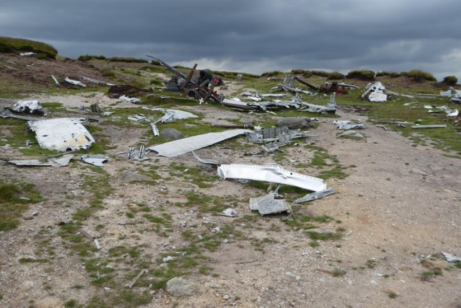
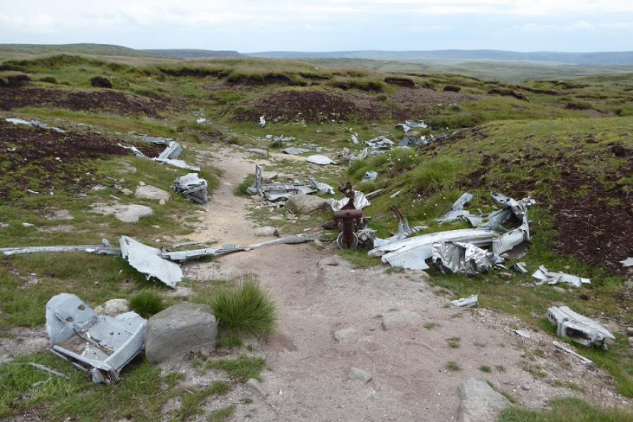
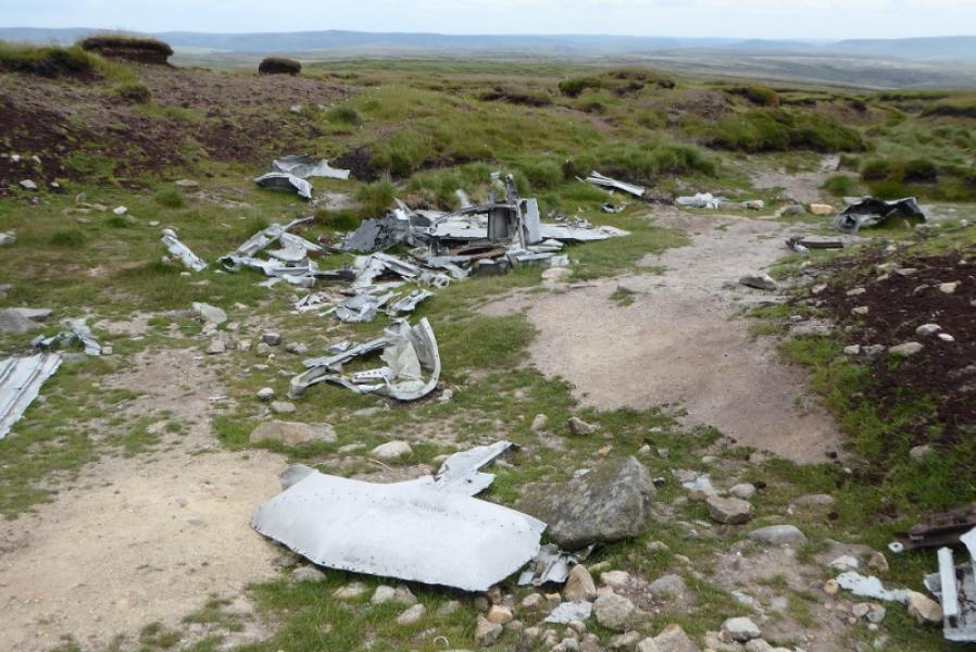
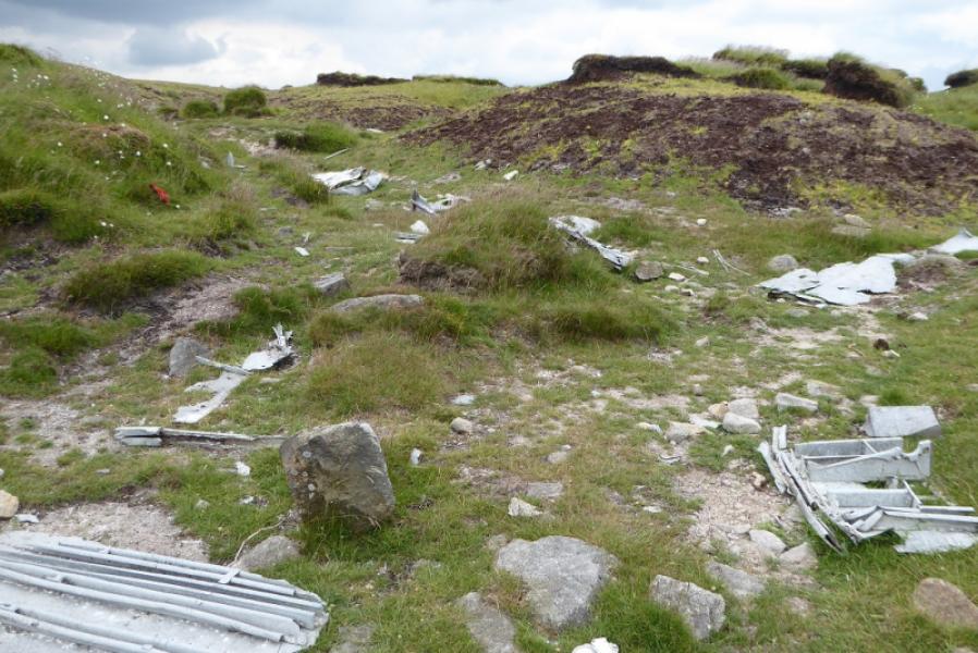
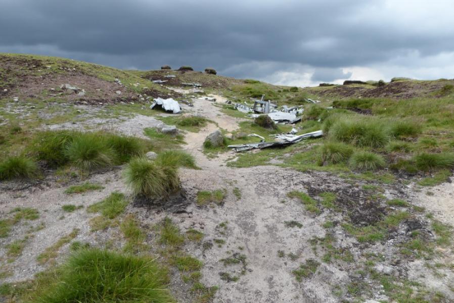
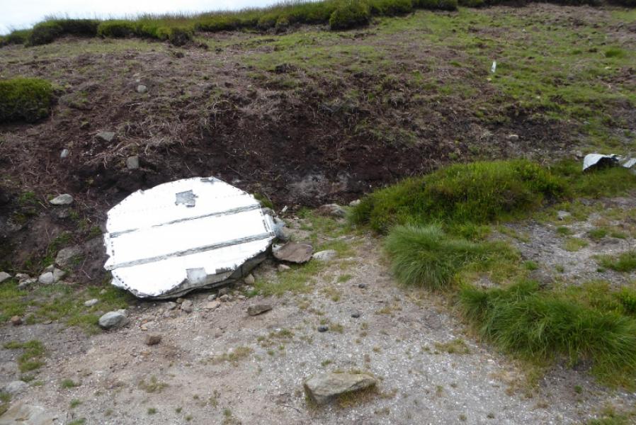
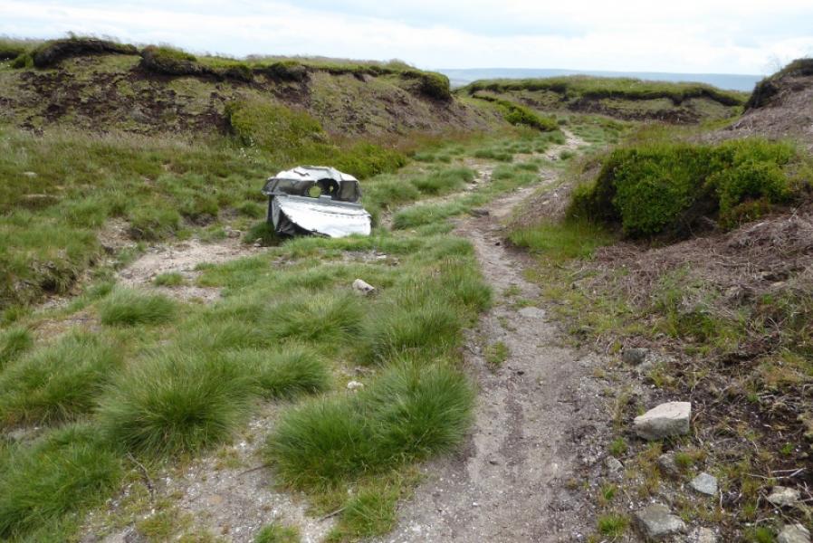
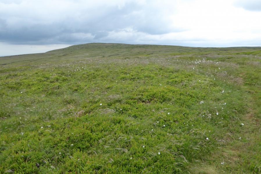
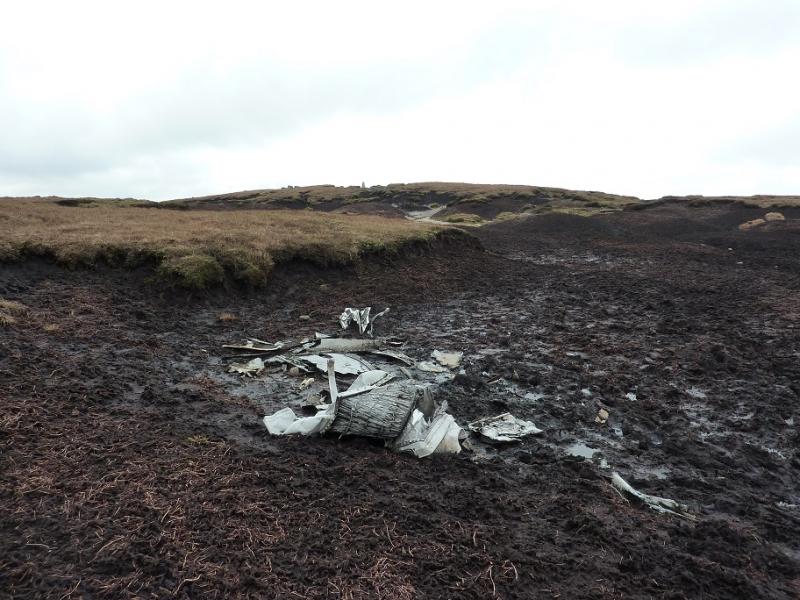
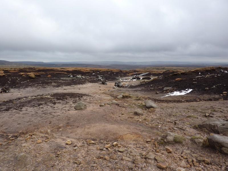
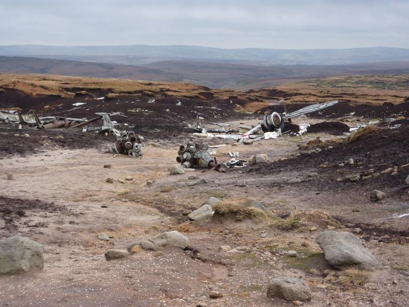
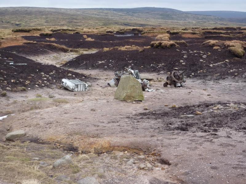
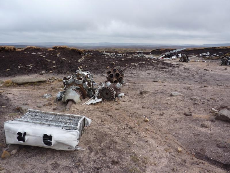
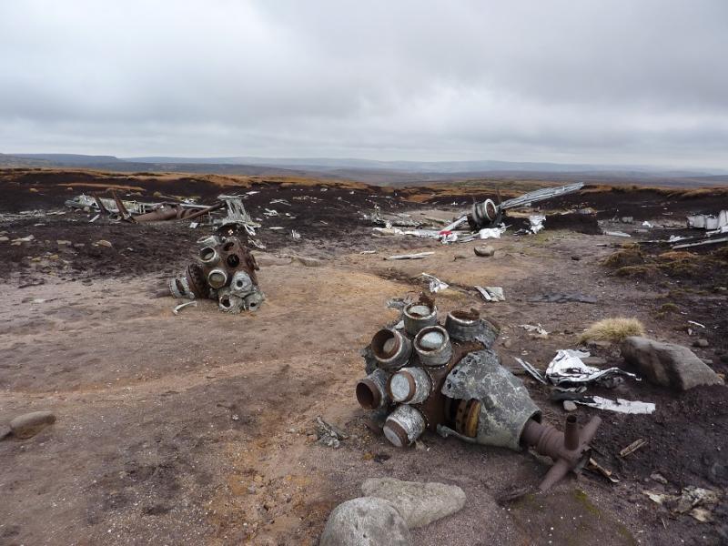
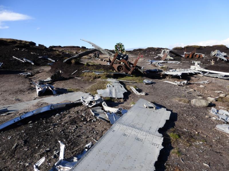
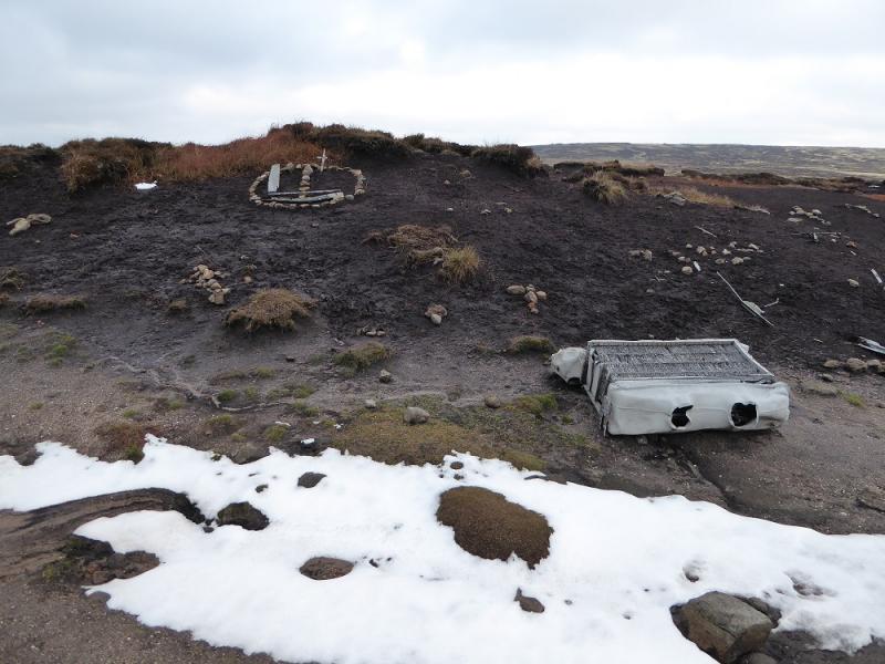
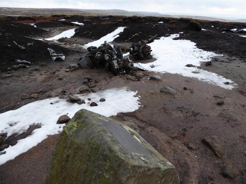
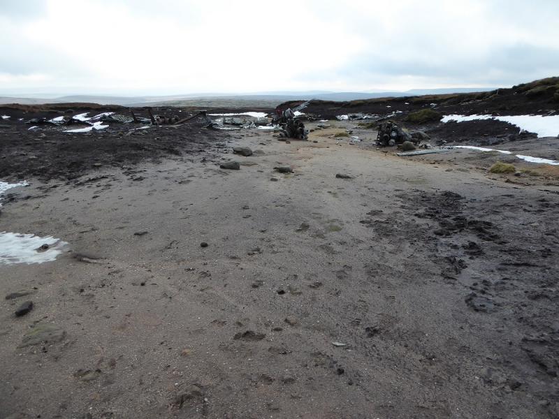
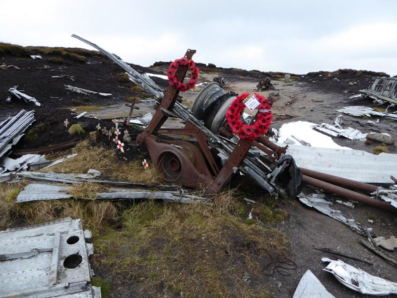
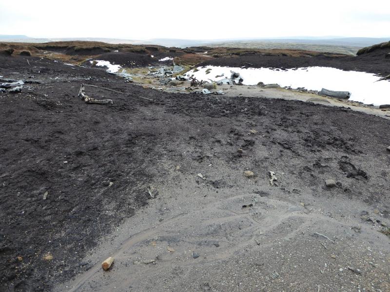
This is a fine, short walk in the Dark Peak which, in good weather has good views of the surrounding countryside especially to Kinder on the opposite side of the Snake Pass. Some of the going is boggy, even in a dry spell, and gaiters are recommended. This walk can easily be accomplished on a short winter's day. Because of the nature of the terrain, this walk is best undertaken in clear weather. This also makes locating the aircraft wreckage much easier as it is spread over a wide area Please do not disturb any of it out of respect for those who lost their lives in the crash during the Second World War.
Route
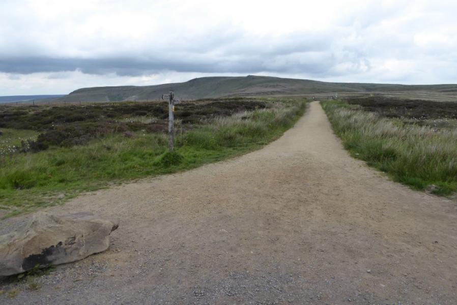
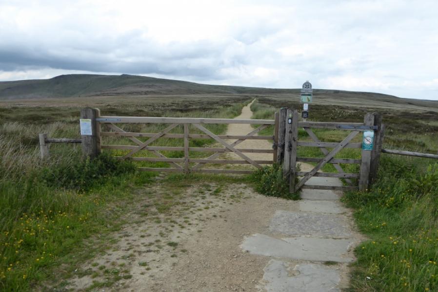
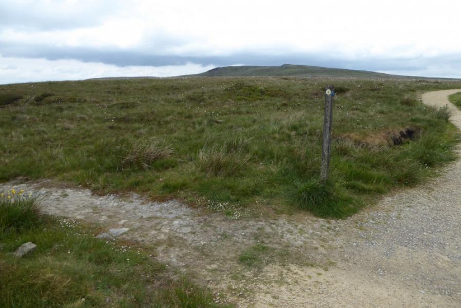
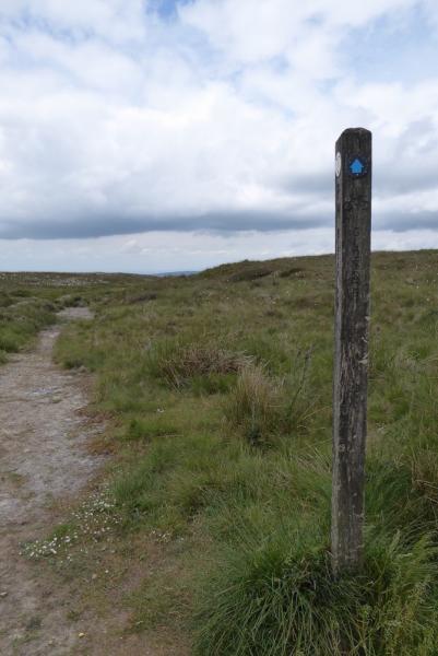
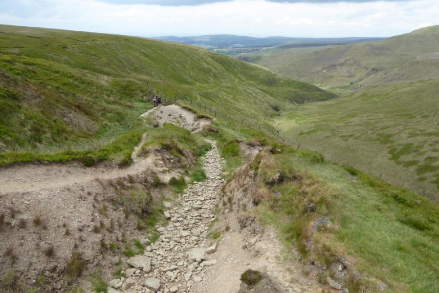
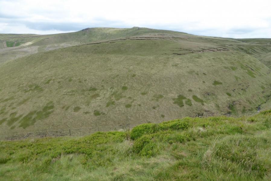
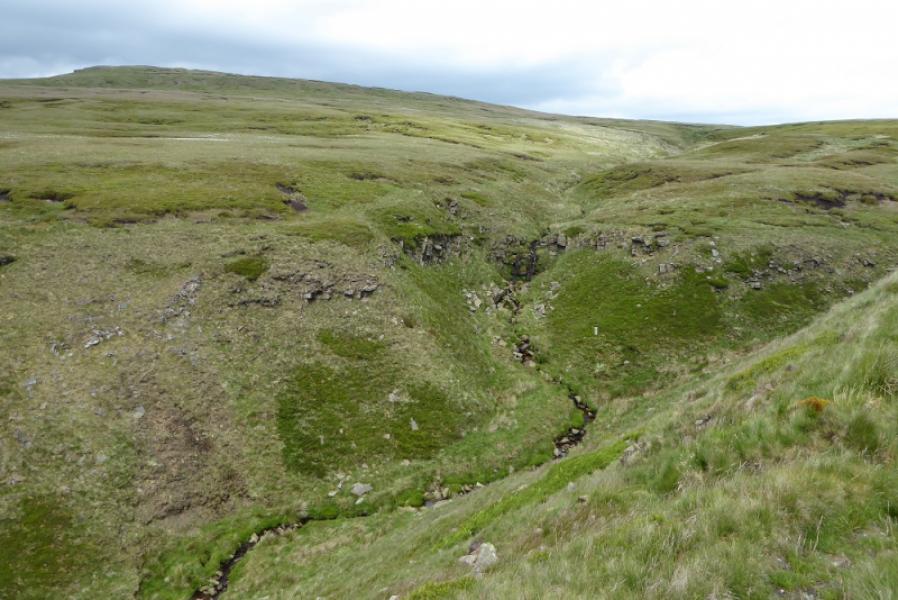
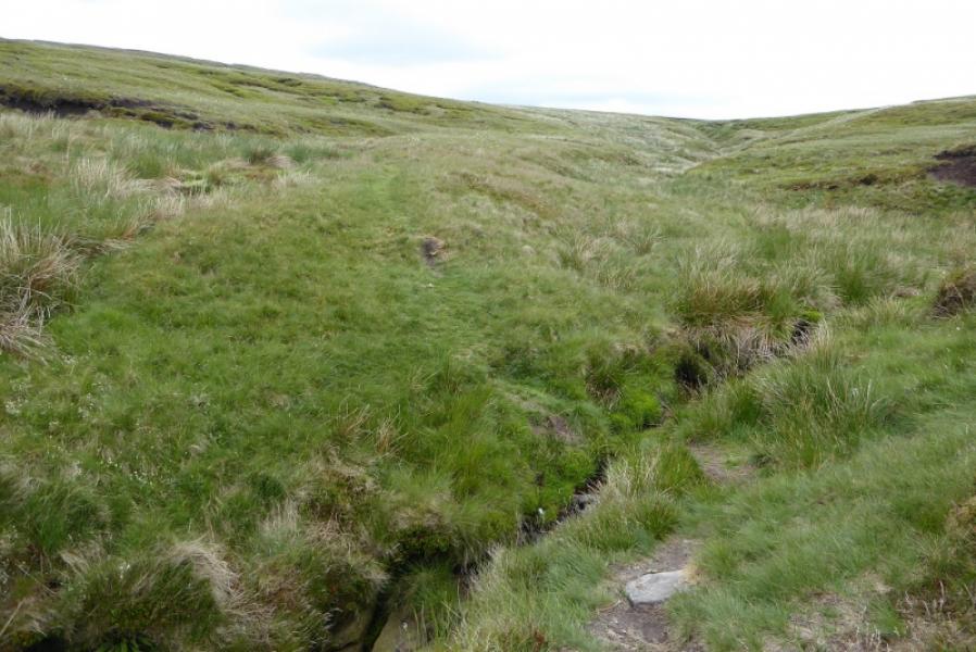
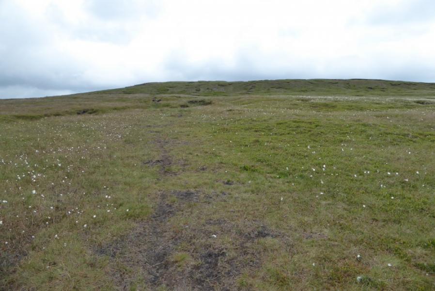
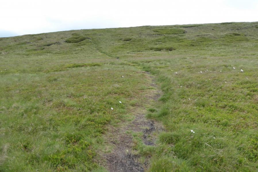
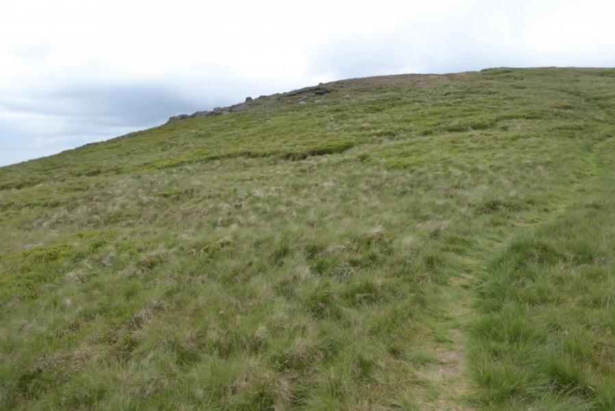
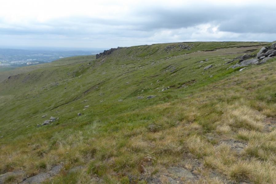
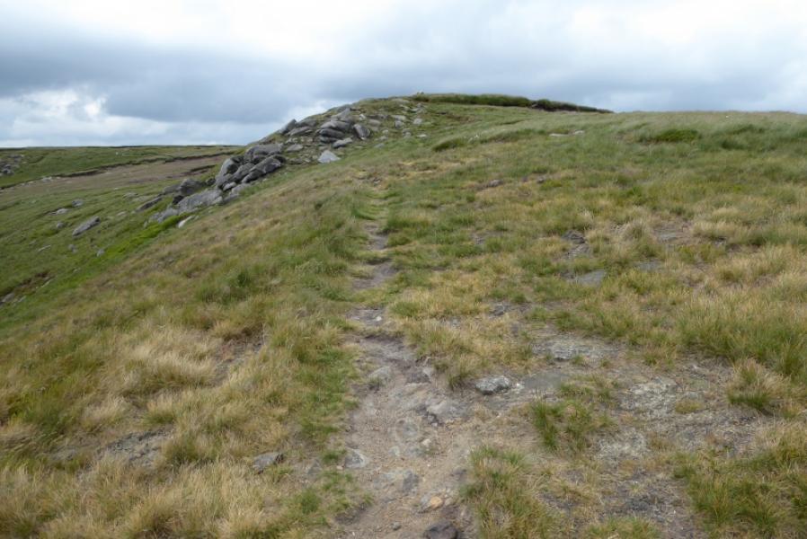
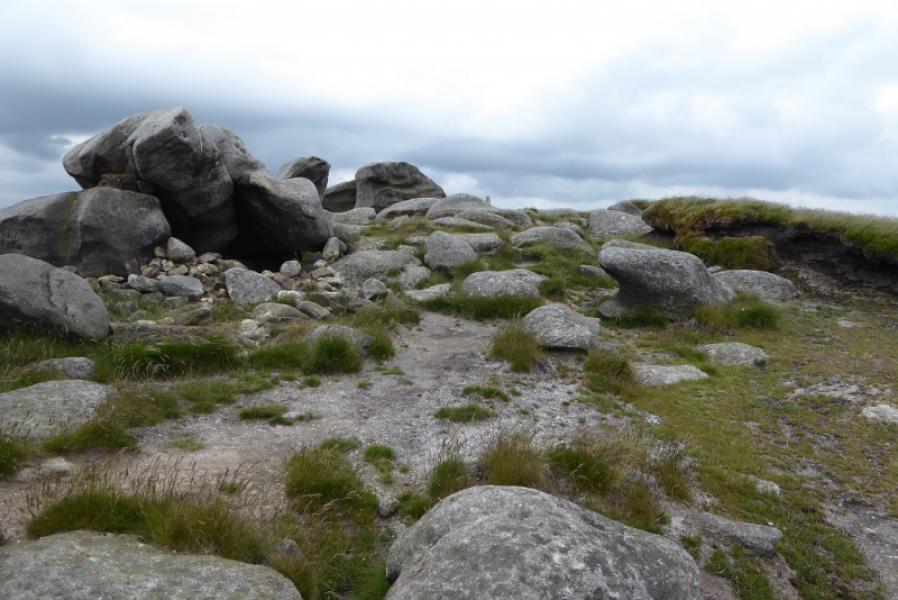
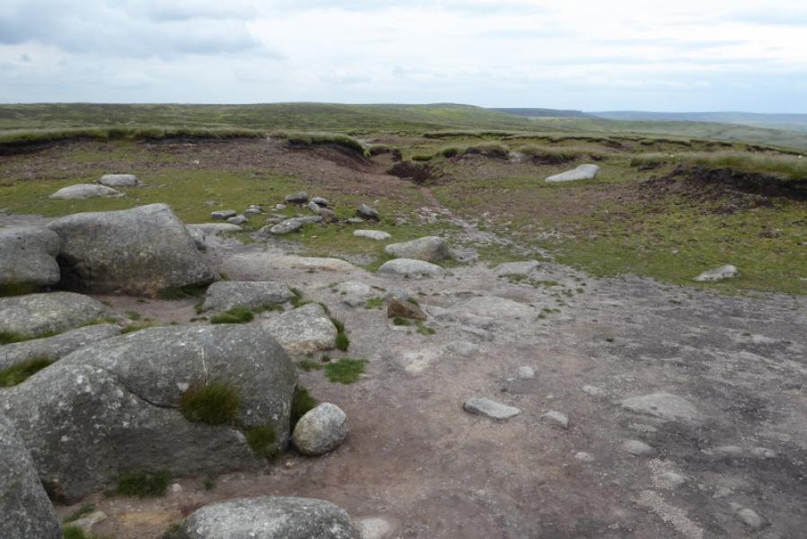
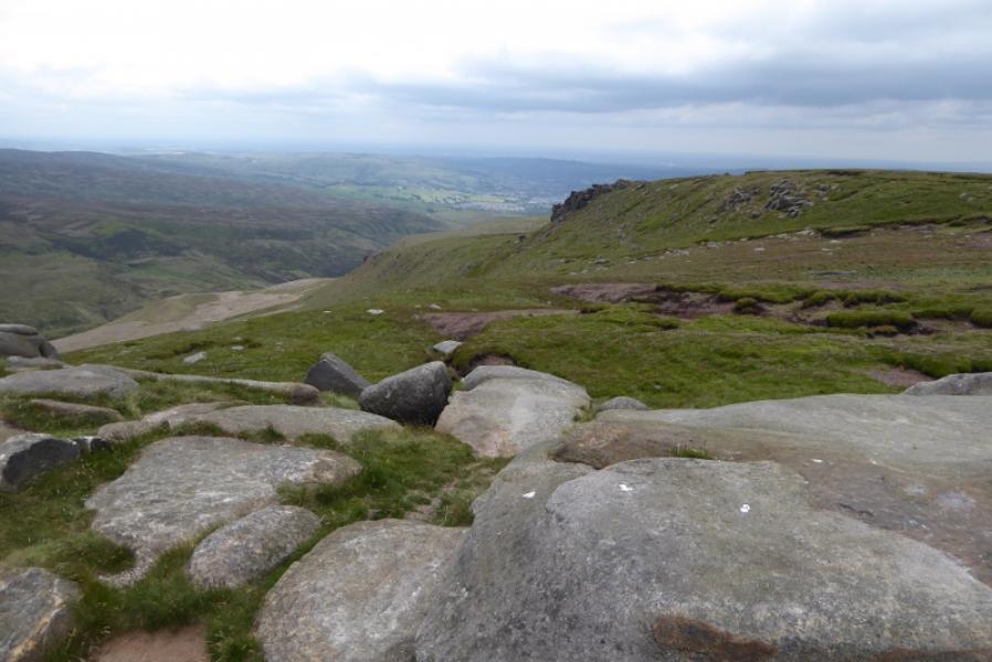
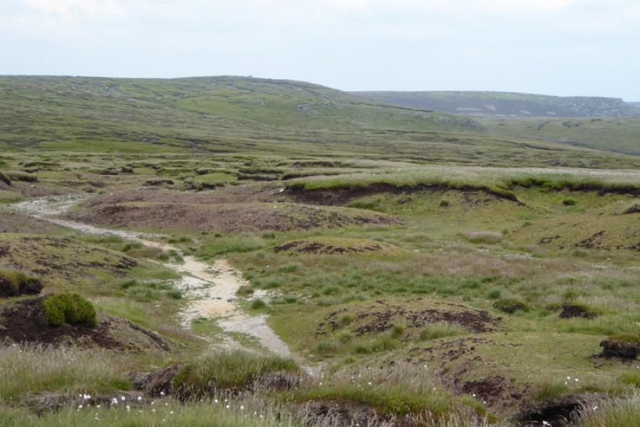
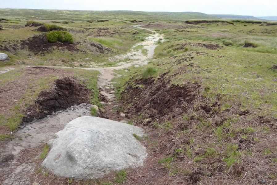
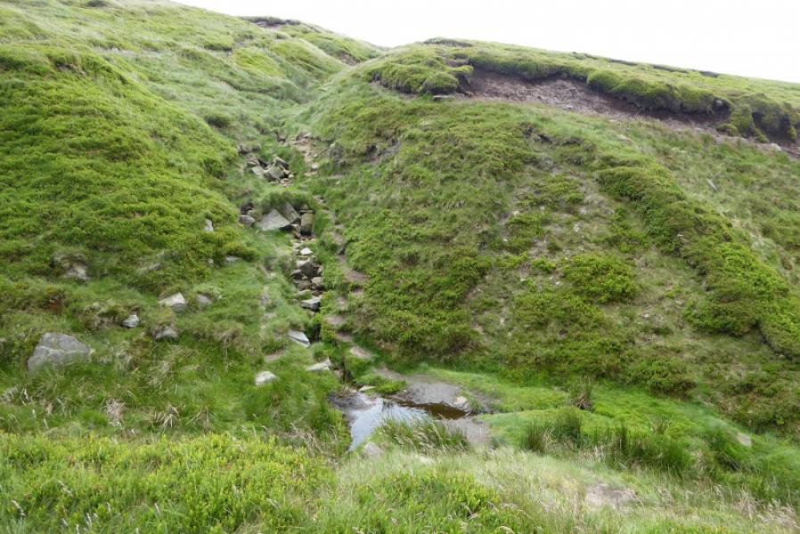
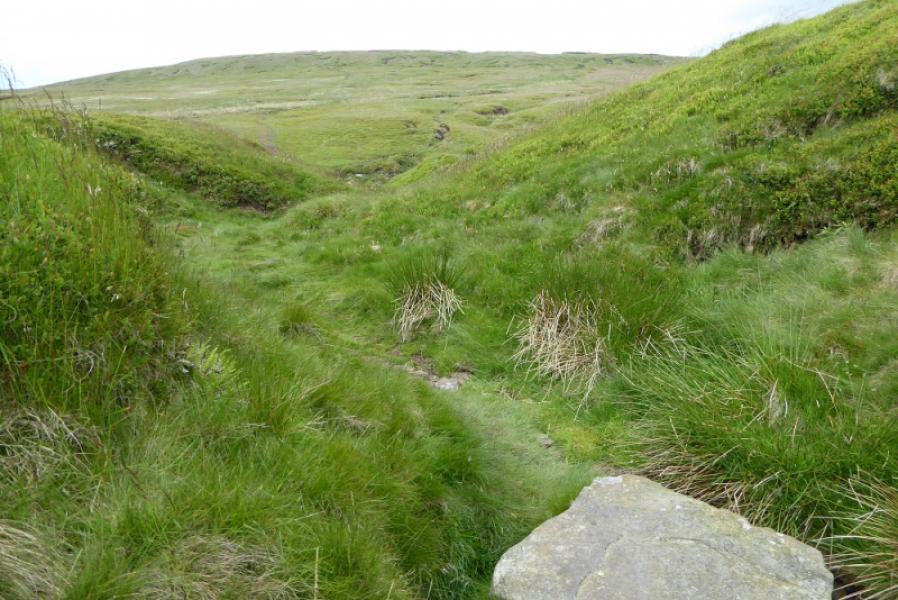
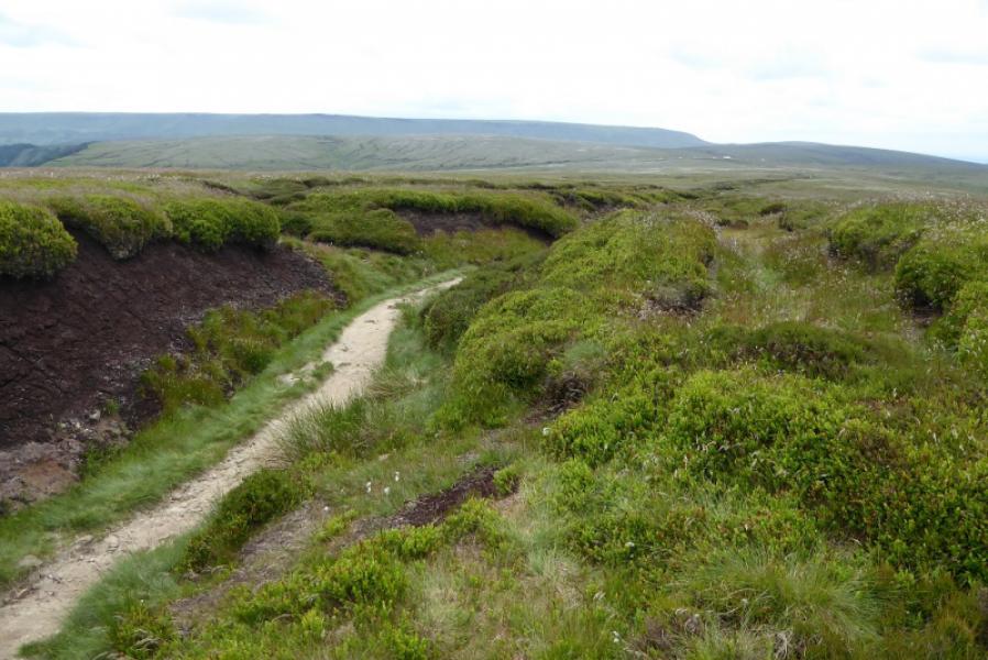
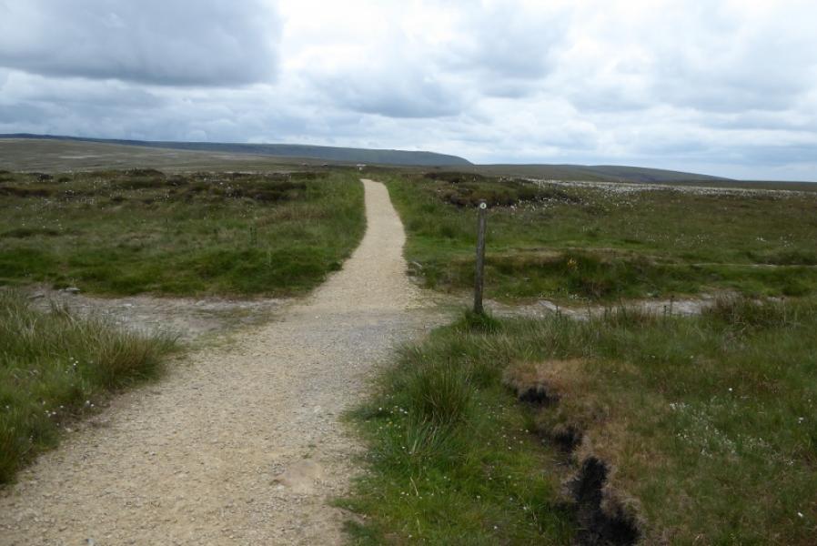
(1) Locate the Pennine Way sign pointing N at the Snake summit. Follow the obvious path to the signposted junction with the Doctor's Gate path. Turn left (Glossop) and follow the path, slightly downhill and quite boggy, until a path goes off right just above the gate. Follow this path along the edge of Crooked Clough until the clough forks. There is a waterfall on the left fork but the path takes the right fork. Soon after the fork, a faint path drops steeply down left to cross the stream then climbs steeply up to cross the next stream well above the waterfall. From here, continue to follow the path to gain the S ridge of Higher Shelf Stones. Walk up the S ridge, on a faint path, to reach the trig point which marks the summit of Higher Shelf Stones, 621 m.
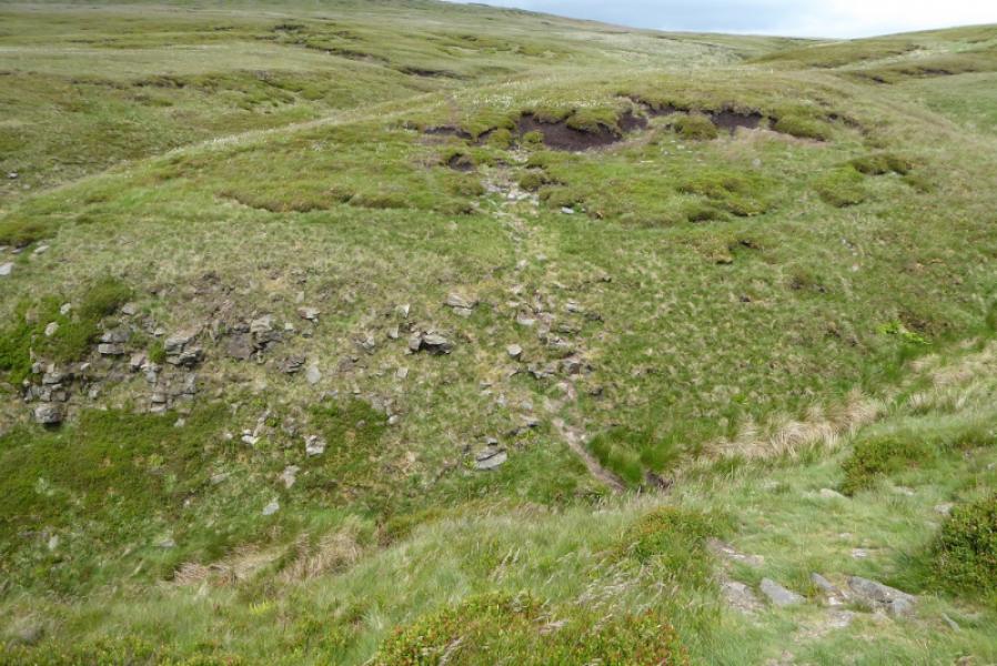
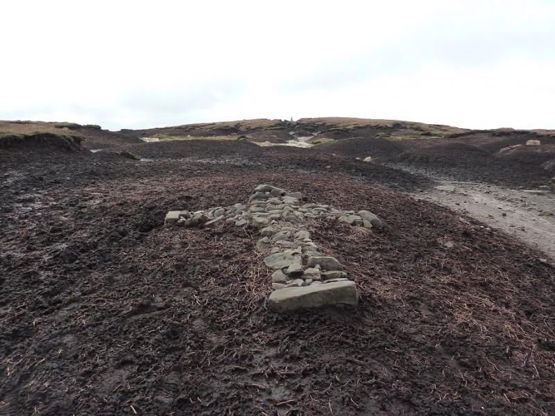
(2) The aircraft wreckage cannot be seen from the trig point so look roughly NE to where a groove soon starts descending. Follow this, keeping to roughly the same line, for about 200 metres to reach the first part of the wreckage. If you keep turning round, you should still be able to see the trig point until you reach the wreckage. A path has formed through the main line of the wreckage and there is a memorial plaque. It seems that the whole plane is still here. Continue down through the wreckage on the path and follow it downhill. The path is faint in places and can be boggy but you are aiming for an obvious grassy groove ascending on the other side of the top of Crooked Clough. Go up this grassy groove which has a path above its left side. Follow the groove up with the path being faint in places in which case continue ahead. The groove almost levels out but soon leads to the Pennine Way which is not noticed until just before it is met and it, also, is in a a more pronounced groove. Turn right onto the Pennine Way and follow it back to the Snake Pass.
Notes
(a) This walk took place on 15th June, 2018.
Photos - Hover over photo for caption. Click on to enlarge. Click on again to reduce.