Get Lost Mountaineering
You are here: England » Lincolnshire » Lincoln Area Cycle Rides » From Skellingthorpe going West towards Harby but NOT crossing the Fledborough Viaduct over the River Trent
Skellingthorpe N & S Clifton River Trent Carr Wood Byway
Skellingthorpe N & S Clifton River Trent Carr Wood Byway
Start/Finish
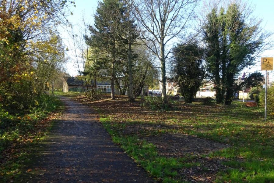
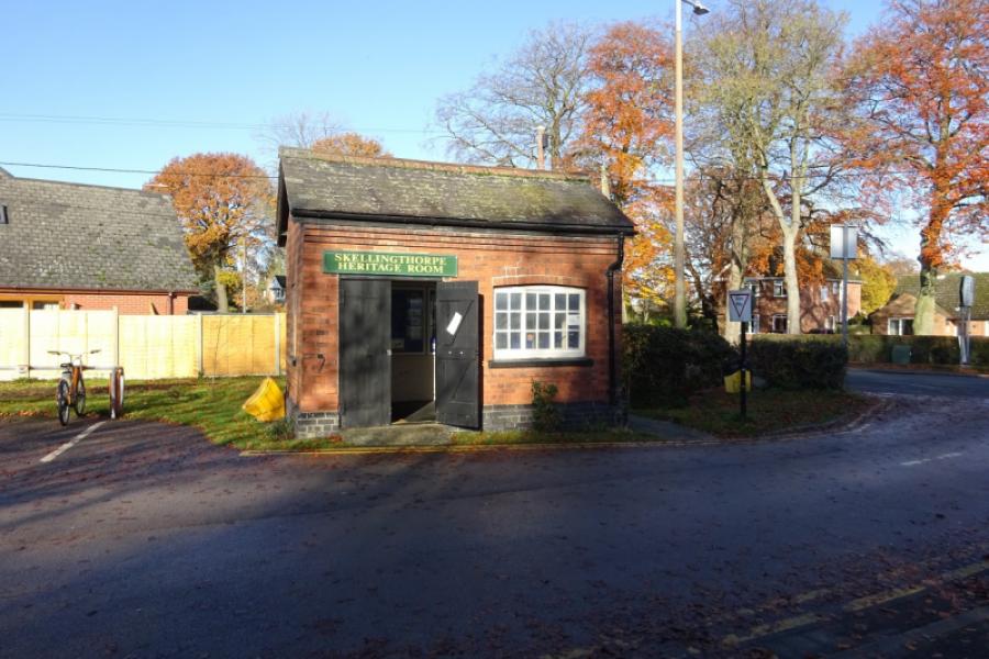
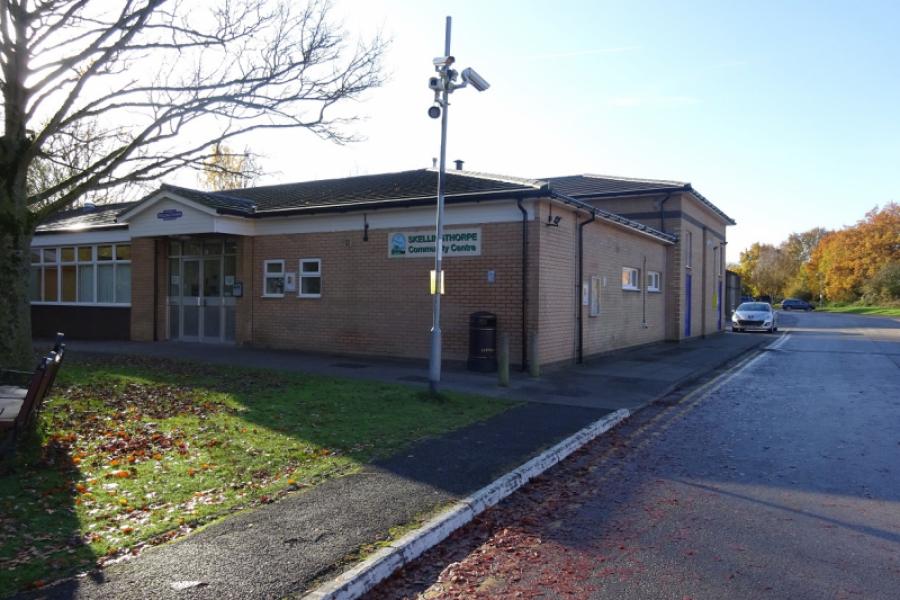
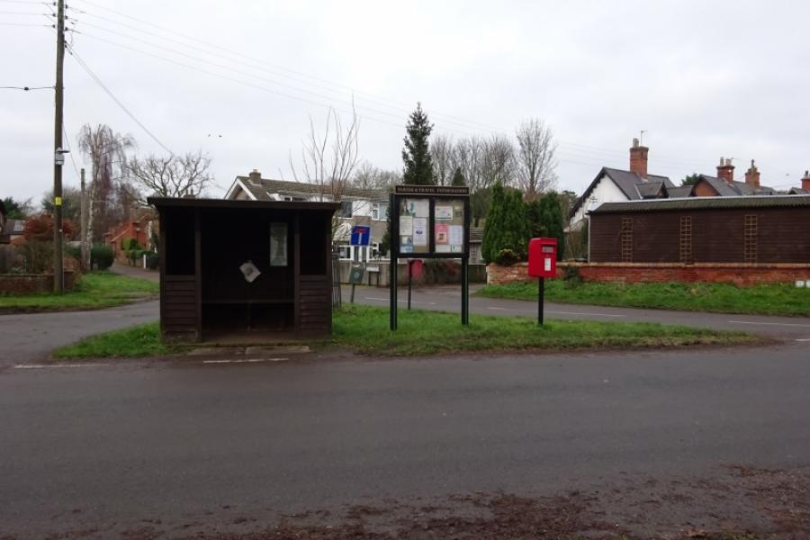
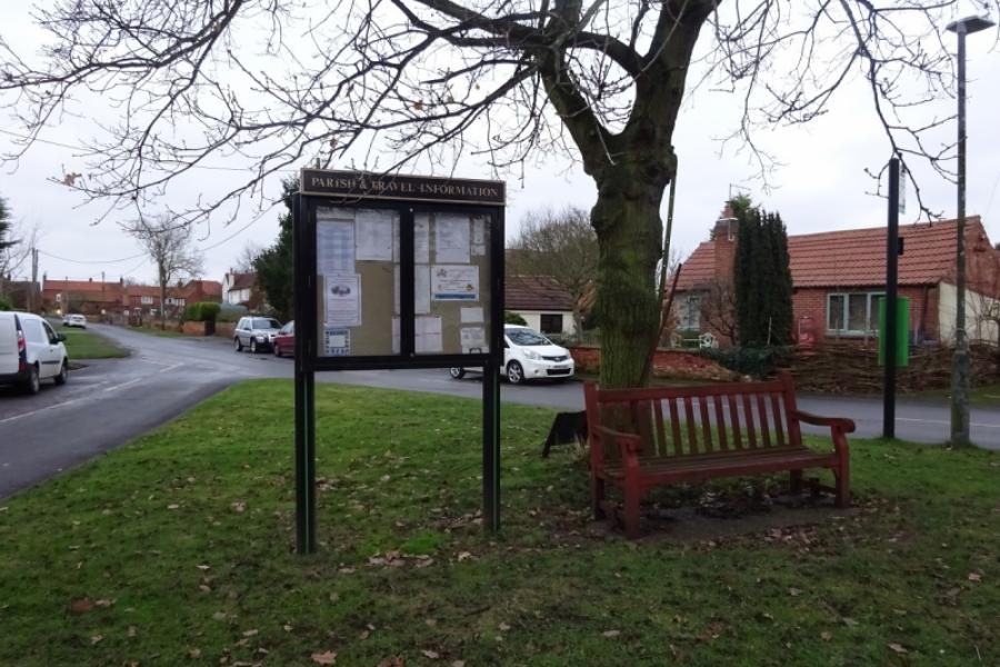
Skellingthorpe community centre where there is usually ample free parking. This is most easily reached from the Skellingthorpe roundabout on the A46 Lincoln bypass. Take the road into Skellingthorpe and the car park is roughly where the cycle track from Lincoln crosses the road.
Distance/Time
27 km/17 miles About 2 hours
Introduction
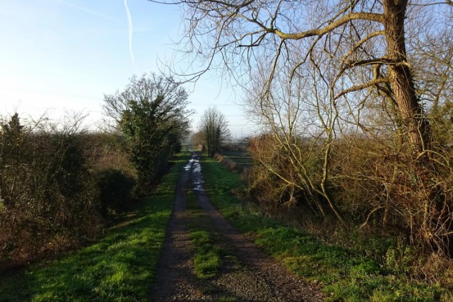
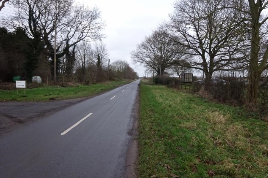
This is a mainly pleasant cycle much of which is on a sustrans track or minor roads. From Skellingthorpe to the Harby junction, it is a good tarmac track but less good from Harby to Clifton on Trent and it is more like a path in places. Unfortunately, although many road bridges cross the sustrans track, it is not usually easy to join these roads unless you like cycling through mud or brambles! The exit from the sustrans track to the road between North and South Clifton is more of a path than a track and can be muddy. The short detour from North Clifton village to the River Trent is on a track which can be muddy. The by way off the South Clifton to Wigsley road is a farm track which can be very muddy in places. Although this track crosses the sustrans track, there is no obvious way to rejoin the sustrans track; the easiest way seems to involve a short section by the side of a grassy field followed by lifting your bike over a locked metal gate about a metre high which in Summer may be overgrown with brambles! An alternative route is supplied which stays on the road for longer then takes the shorter and much cleaner byway back to the sustrans before the byway continues further to Carr Wood.
Route
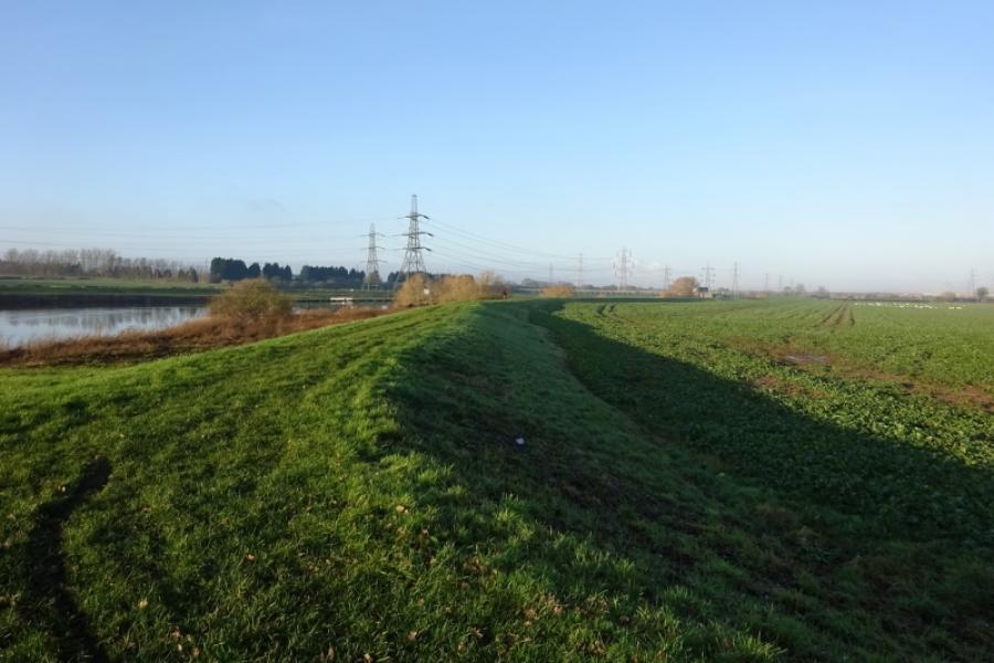
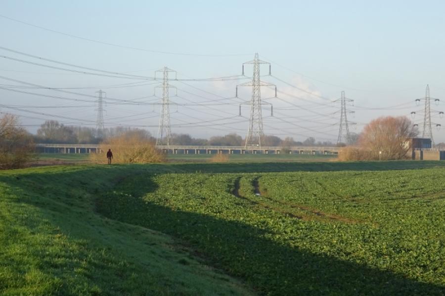
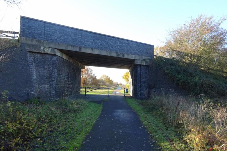
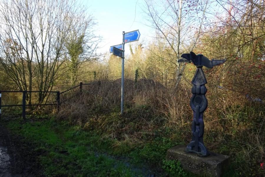
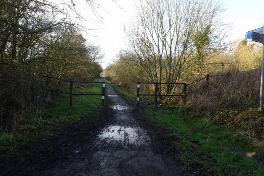
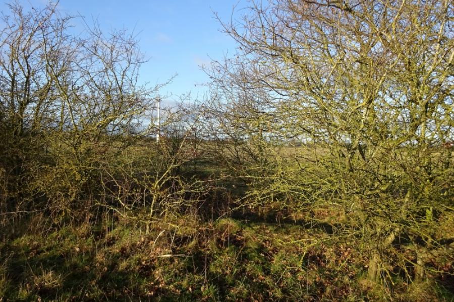
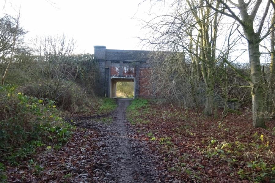
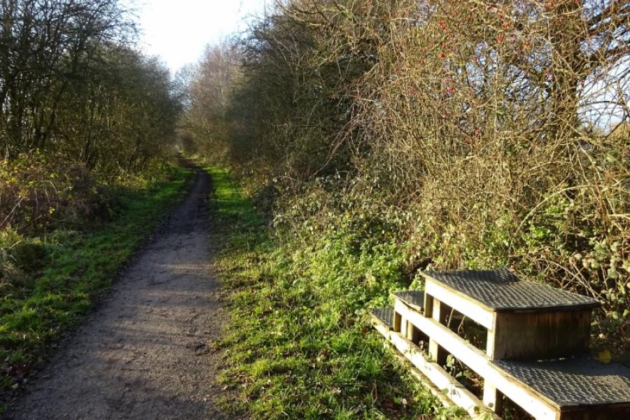
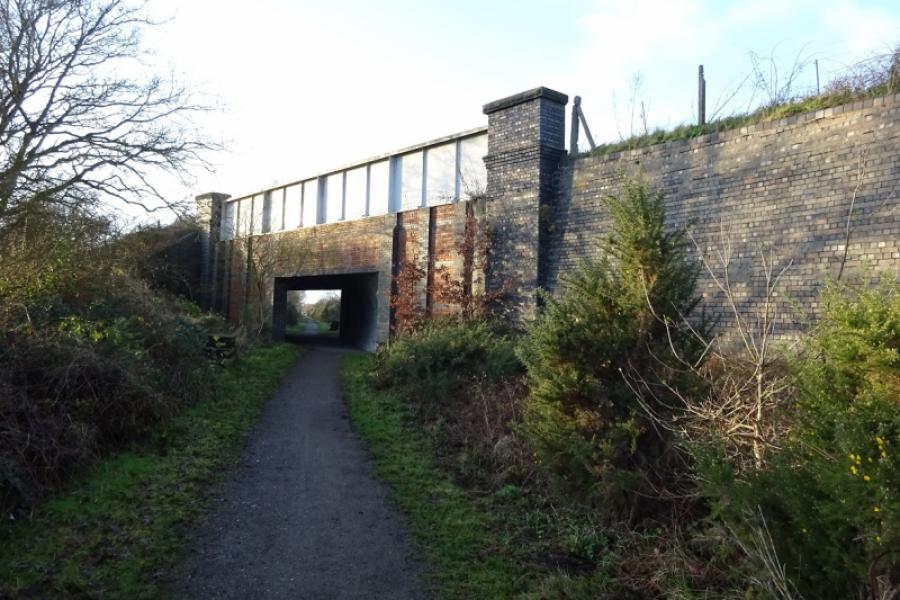
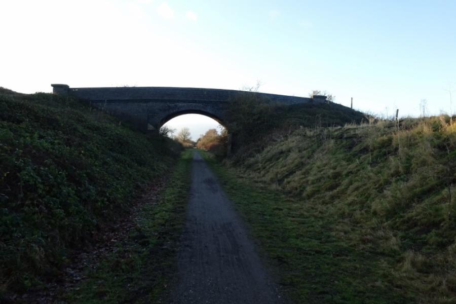
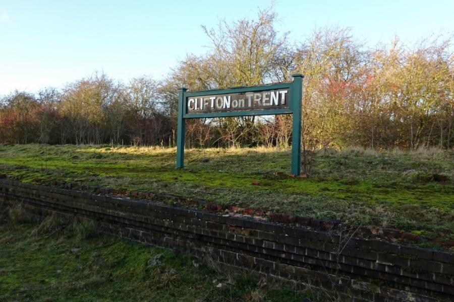
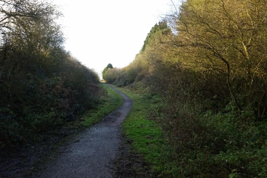
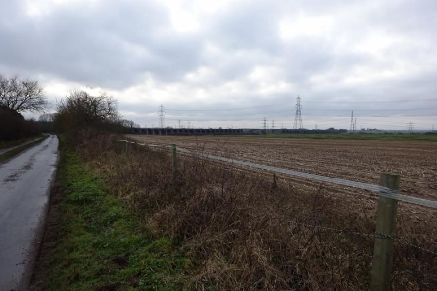
(1) Follow the cycle track from behind the community centre in the direction of Harby. Soon leave Skellingthorpe behind. After just over 3 km, go under the Doddington Road bridge. Continue for about another 1.5 km to go under the Harby Road bridge. Continue, ignoring the sharp left tiun for Harby. Almost immediately, the track deteriorates and can be muddy in places. Continue ahead, passing some turbines on the right then crossing Wigsley Drain before passing under the Wigsley Road bridge then the South Clifton Road bridge soon after. Soon after, pass the only house next to the track which still has its old level crossing. Continue and go under another bridge, near Moor Farm, then another (on no road) before reaching the remains of Clifton on Trent station. One platform and a station sign remains but the former station buildings are now private and fenced off. Just after the station is the A1133 road bridge, part of the road from Newton on Trent to Collingham and Newark. Continue along the track for a short distance to reach an obvious sign. Leave the sustrans track and take the right turn which continues below the sustrans track. It is more of a path than a track and can be muddy in places but soon delivers one onto the minor road between North and South Clifton.
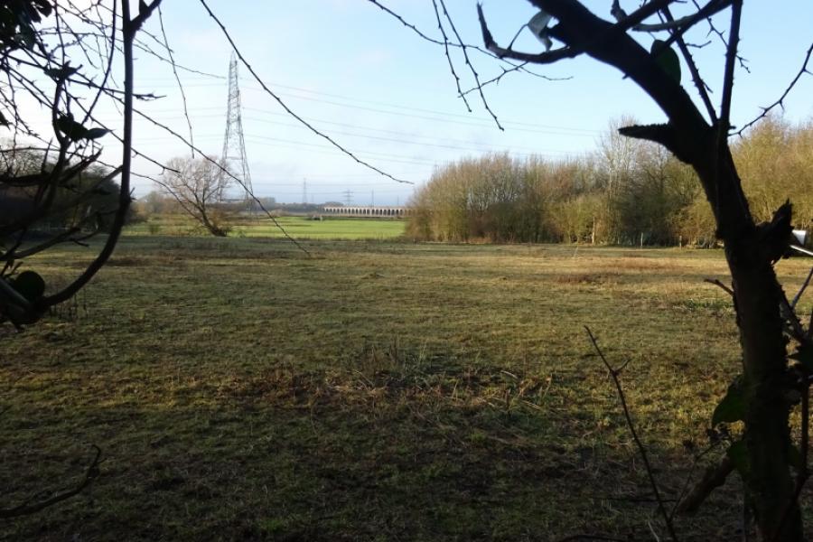
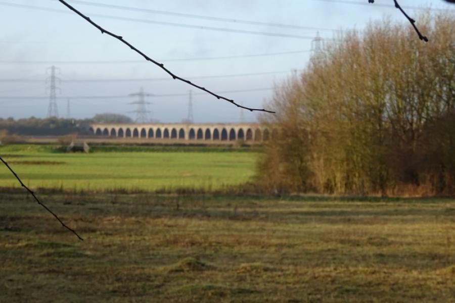
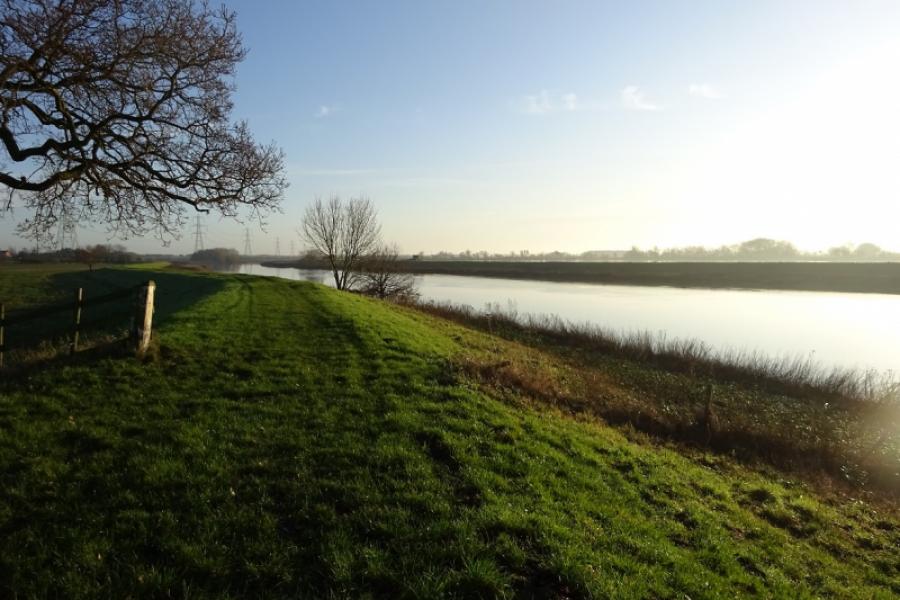
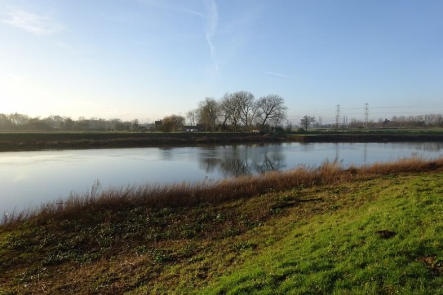
(2) Turn right and follow the road into North Clifton to reach a road triangle. The right fork soon leads to a Parish Council information board but take the left fork and follow it through the village. There is a sign for the River Trent. The route goes down the side of what seems to be a large lawn and becomes a rough track that soon goes over a hump backed bridge. The track can be muddy but soon leads to the River Trent and gives good views of the Trent Viaduct to the south.
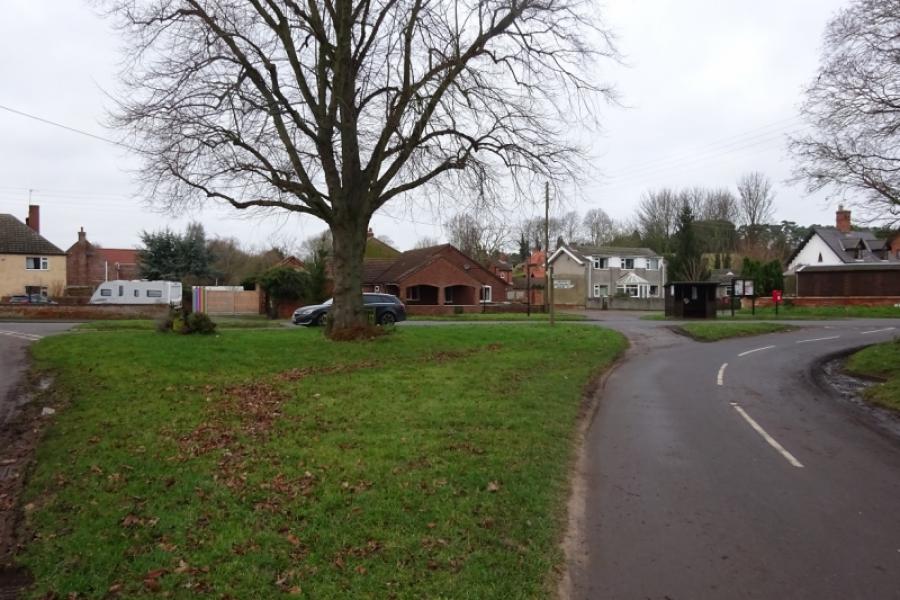
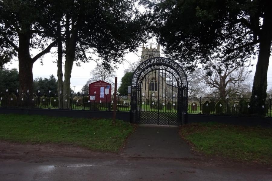
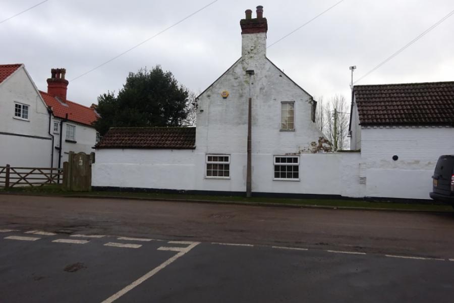
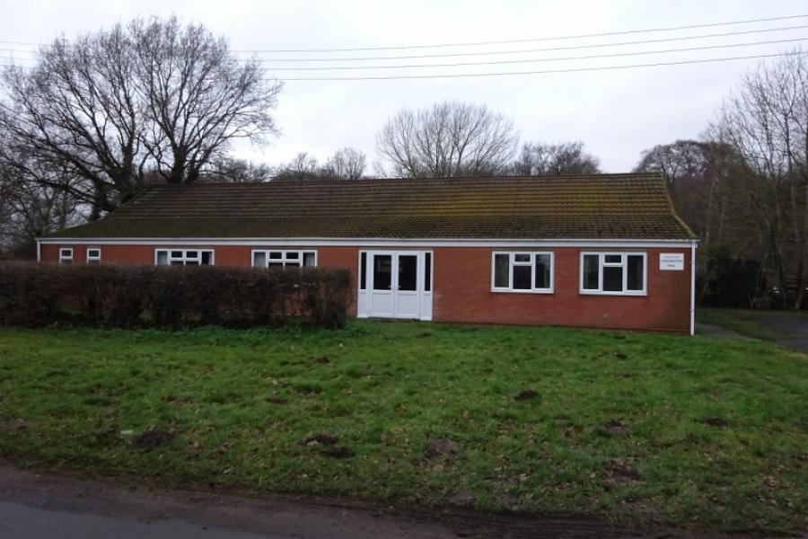
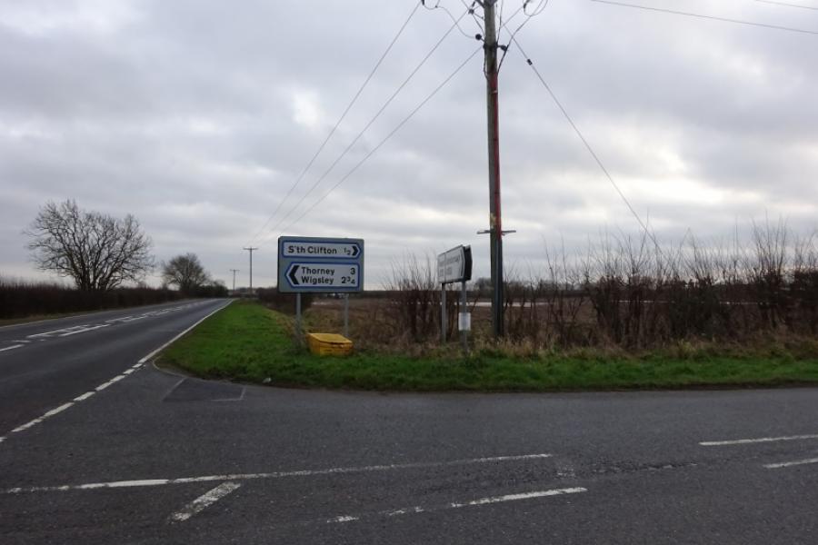
(3) Retrace back along the road and go under the viaduct then continue towards South Clifton. On entering the village , take the right fork, Back Street, and follow it to its end where it meets Trent Lane on a corner where the buidling used to be the Red Lion public house. Turning right would take you to the river but it is not a good track in wet conditions. Turning left takes you into the centre of South Clifton where there is also a Parish Council information board at the junction with Front Street. Follow Front Street almost to where the village was entered and take the right turn for Wigsley. Follow the road past the South Clifton Coronation Hall to reach a crossroads where the Wigsley Road crosses the A1133 road which connects Newton-on-Trent with Collingham and Newark.
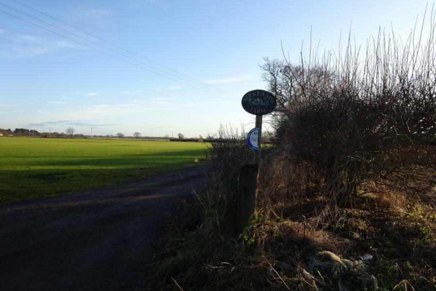
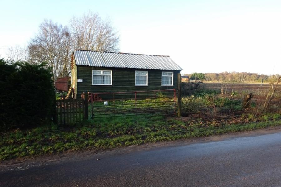
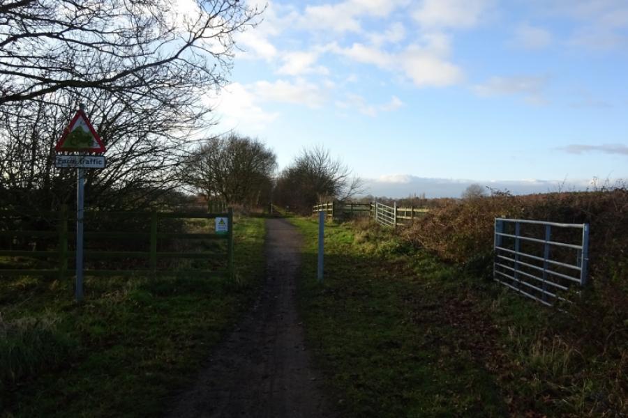
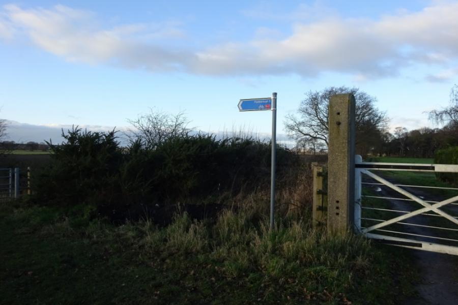
(4) Go over the crossroads. After less than a km, the muddy version takes the signed by way on the left, opposite the entrance to Birklands Farm. This is essentially a farm track and can be very muddy in places. Follow it to the bridge which goes over the sustrans track. There is no official way onto the sustrans track but the easiest way seems to be to leave the track at the foot of the bridge and follow the edge of the field round to a metal gate which is about a metre high and locked so a bike will have to be lifted over. The sustrans track is about 2 m further; in summer, there may be brambles. Retrace the sustrans track back, past Harby and Doddington, to Skellingthorpe. A much cleaner option to regain the sustrans track is to stay on the road from South Clifton to reach a second byway just after a right turn to what seems to be a scrap yard. The byway is just after a cottage, which looks like a large shed, on the left and the byway has a sustrans sign on it. It is only about 300 metres to reach the sustrans track by the house and level crossing and these are usually visible from the road.
Notes
(a) This cycle ride took place in December, 2019.
Photos - Hover over photo for caption. Click on to enlarge. Click on again to reduce.


![]()
![]()


![]()
![]()


![]()
![]()


![]()
![]()
![]()
![]()

![]()
![]()
![]()
![]()
![]()
![]()
![]()
![]()
![]()
![]()
![]()
![]()