Get Lost Mountaineering
You are here: England » Lincolnshire » Lincoln Area Cycle Rides » From Skellingthorpe going West towards Harby but NOT crossing the Fledborough Viaduct over the River Trent
Skellingthorpe Harby Eagle Eagle Hall N & S Scarle Collingham Swinderby Meardsall Swinderby Station Morton Eagle Barnsdale Whisby Nature Park Thorpe Whisby Doddington
Skellingthorpe to Harby to Eagle to Eagle Hall to N & S Scarle to Collingham to Swinderby to Meardsall to Swinderby Station to Morton to Eagle Barnsdale to Whisby Nature Park to Thorpe to Whisby to Doddington
Start/Finish
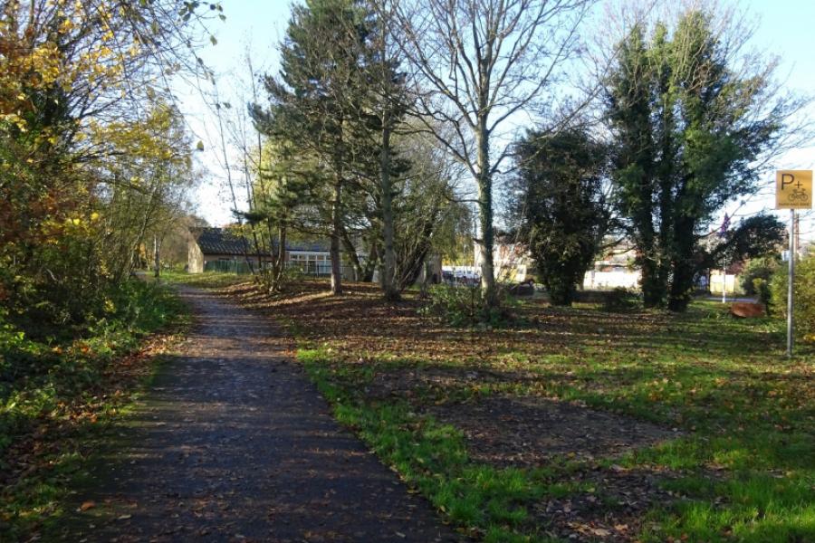
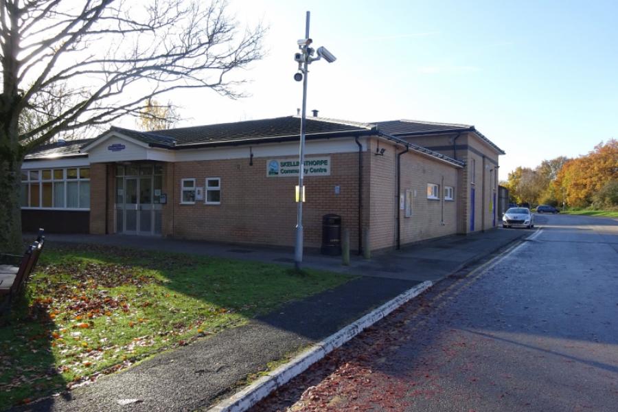
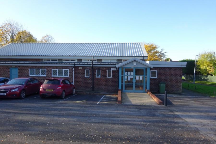
Skellingthorpe community centre where there is usually ample free parking. This is most easily reached from the Skellingthorpe roundabout on the A46 Lincoln bypass. Take the road into Skellingthorpe and the car park is roughly where the cycle track from Lincoln crosses the road.
Distance/Time
44 km/28 miles About 3 hours
Introduction
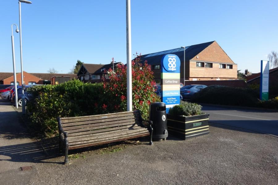
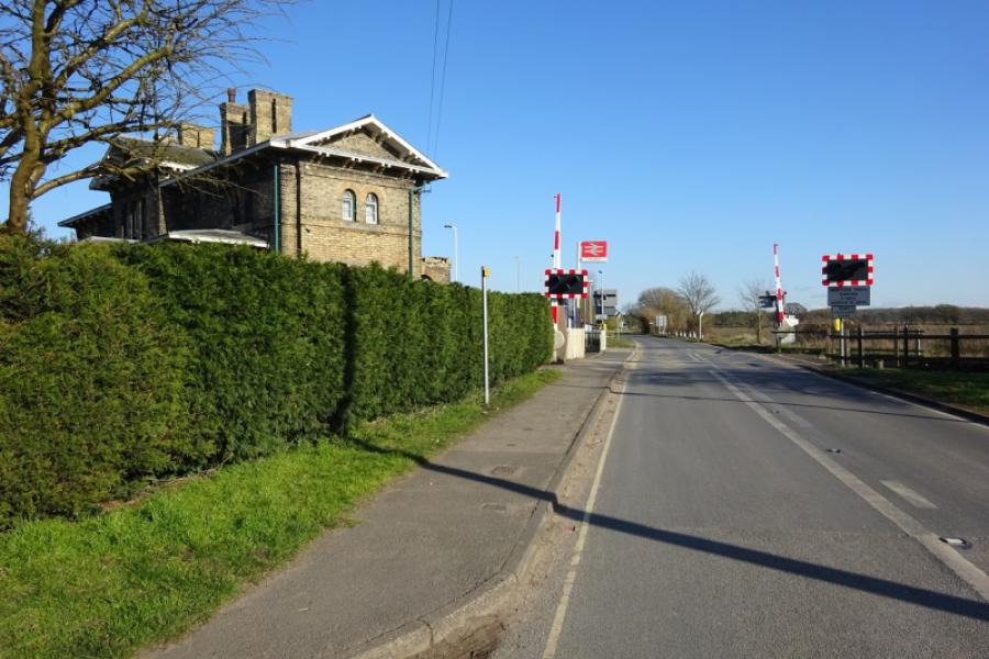
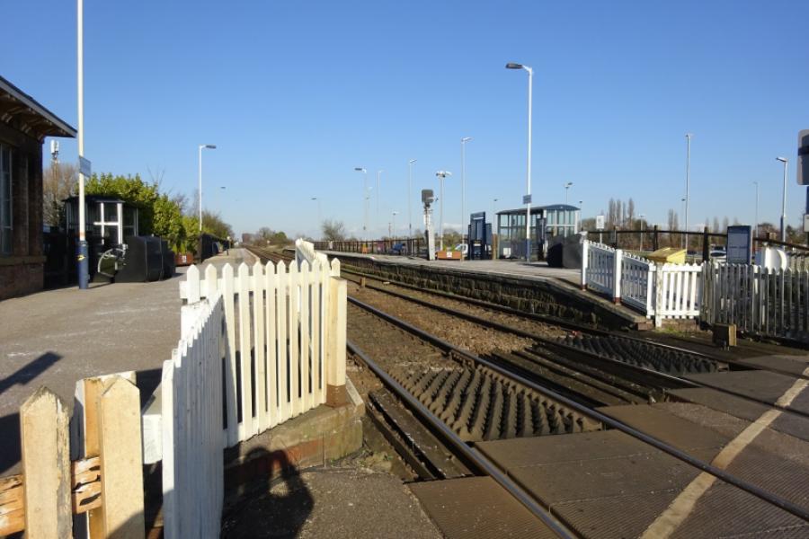
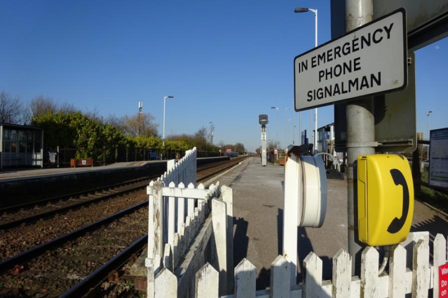
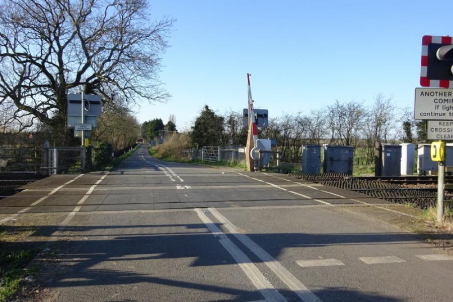
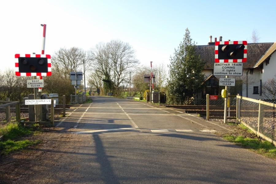
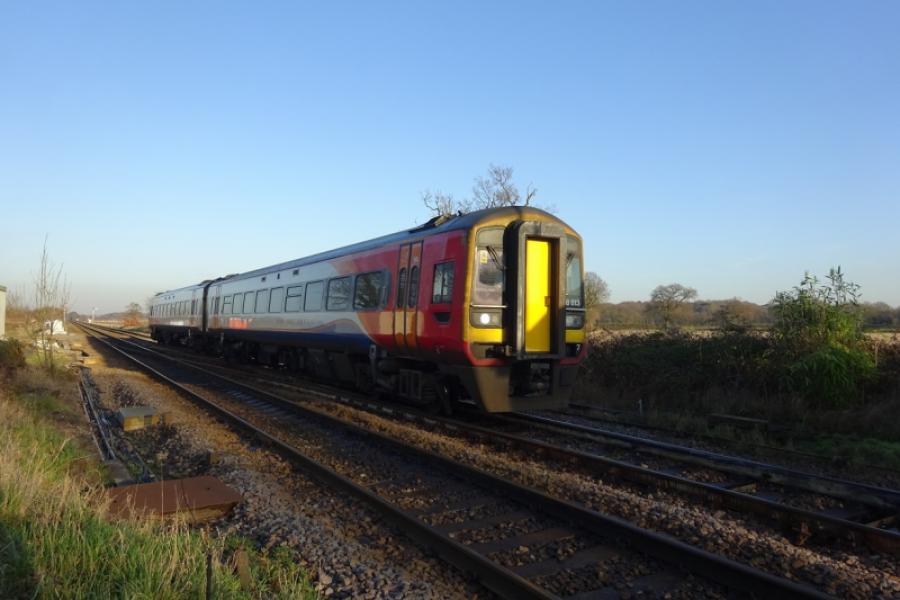
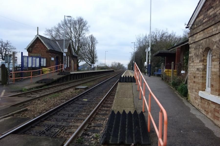
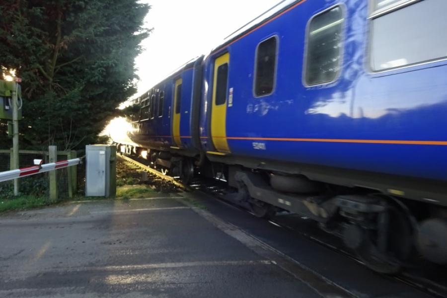
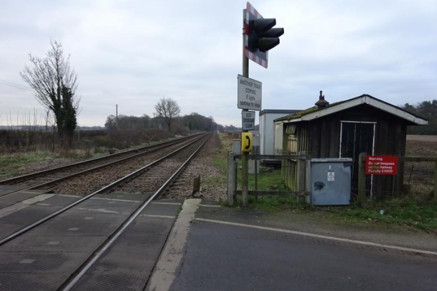
This is a pleasant cycle although it does use some minor roads as well as a proper cycle track which is also a popular footpath so keep an eye open for pedestrians. There is a bit of an uphill climb through Whisby. Note that cycling is not allowed in Whisby Nature Park once you are past the car park and visitor centre so if you wish to see the park at close quarters you will need to walk around it! Railway enthusiasts should note that the Lincoln to Newark railway line is crossed 8 times at level crossings, there is still a manned signal box at Swinderby Station; both Collingham and Thorpe Statios are also visited. Morton Hall is now an Immigration Centre having formerly been a female prison and a male open prison before that. South Scarle is quite a picturesque village and the old part of Swinderby village isn't far behind. Collingham has a busy main road through it and is often congested but you pass a large Co-Op if you need a drink and a sandwich!
Route
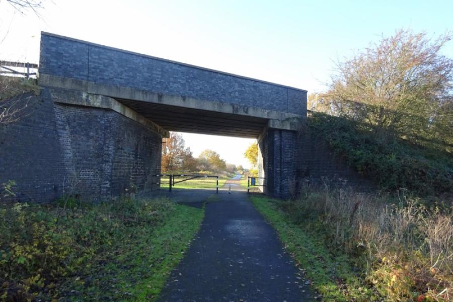
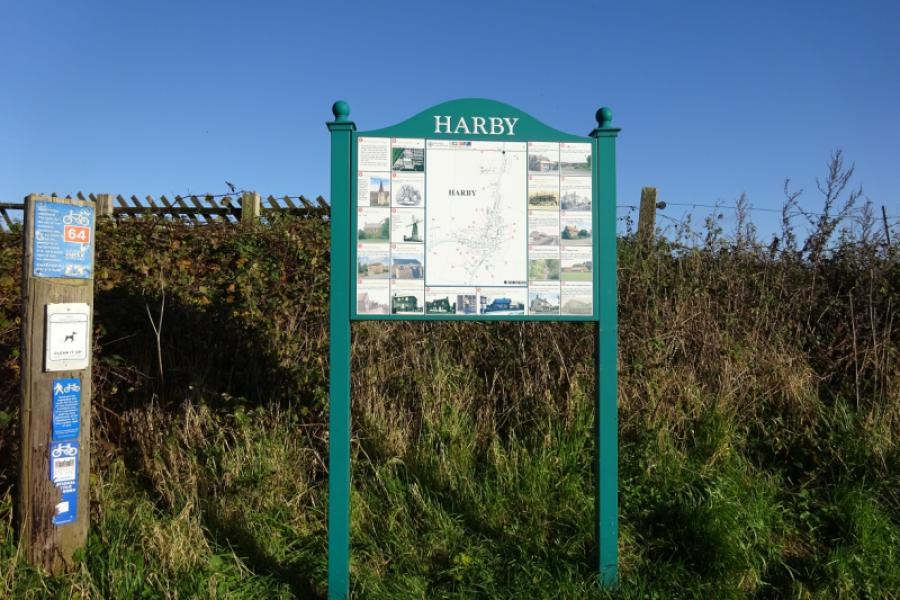
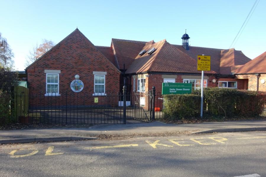
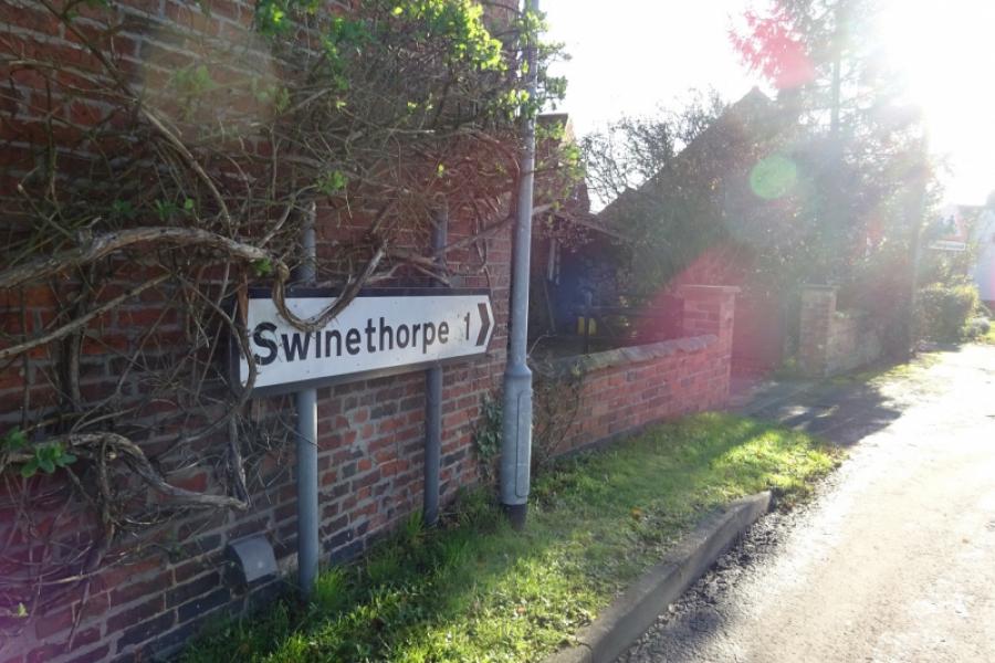
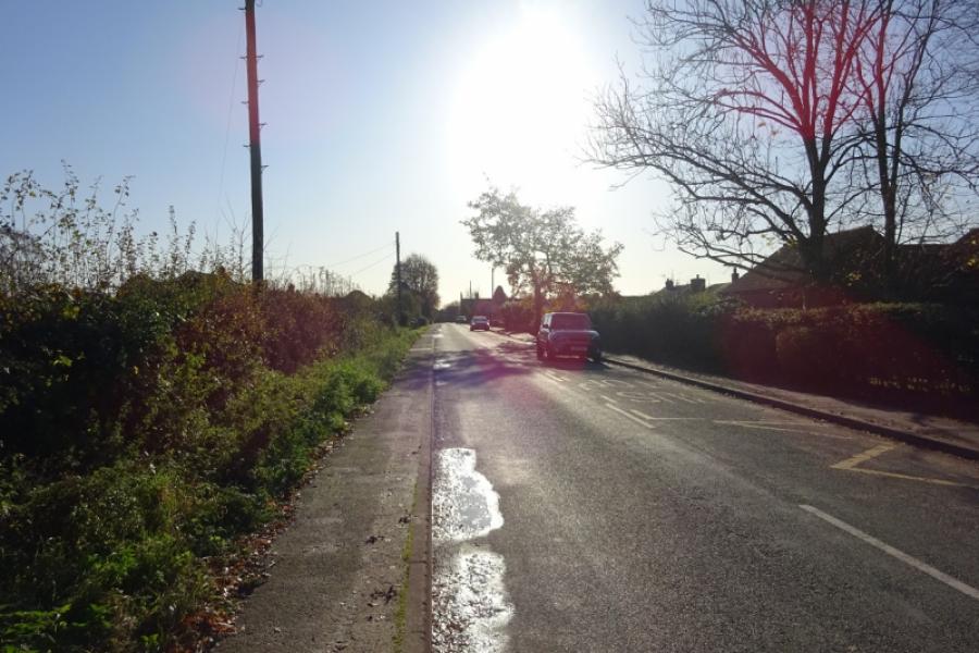
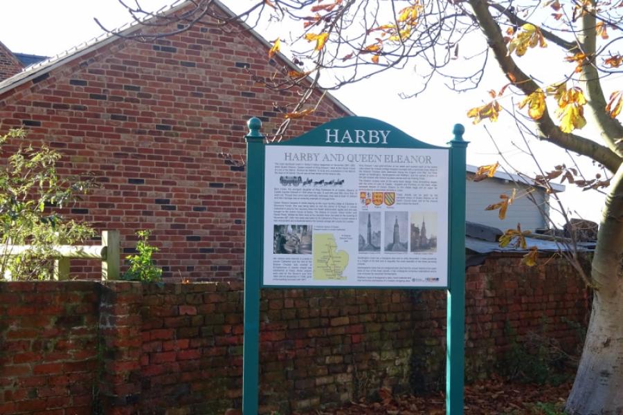
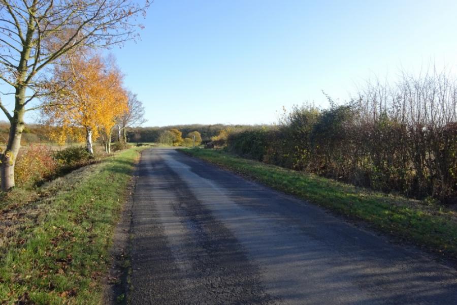
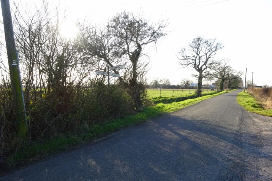
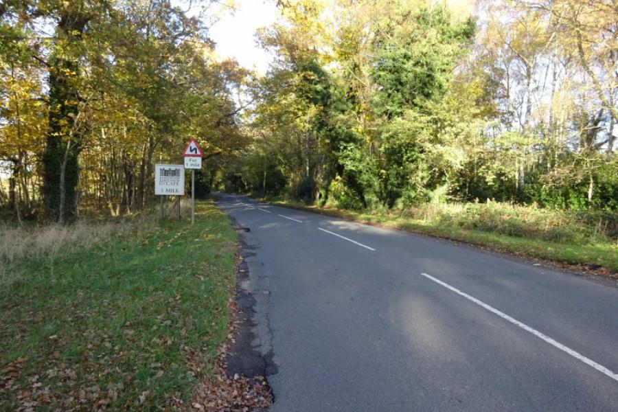
(1) Follow the cycle track from behind the community centre in the direction of Harby. Soon leave Skellingthorpe behind. After just over 3 km, go under the Doddington Road bridge. Continue for about another 1.5 km to go under the Harby Road bridge. Immediately after, turn left (a tight reverse fork) and follow it up to the road. Turn right and head towards Harby village, passing Queen Eleanor's Primary School. Take the next left, signposted for Swinethorpe, and follow the road around to the right and past the Bottle and Glass pub. Continue to the corner then go straight ahead for Swinethorpe.
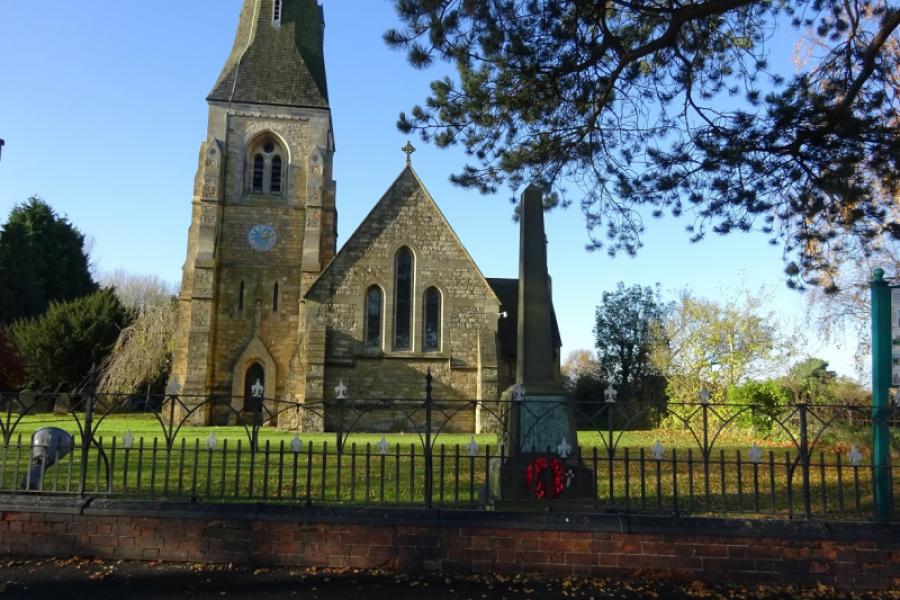
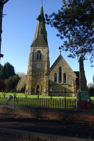
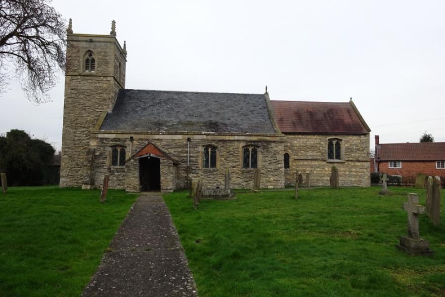
(2) Follow the road past the church with the high spire and continue following the road. Swinethorpe is just a few houses after a double bend where the road surface can be very rough. After Swinethorpe the road goes left at a corner. From here it is slightly uphill until Eagle Moor is reached. There are good views of Doddington Hall from the first straight section and the bend at the end of it. The road then meanders before passing some houses and horse fields then joining the main road from Lincoln to Eagle at Eagle Moor crossroads.
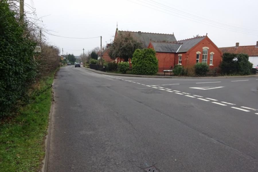
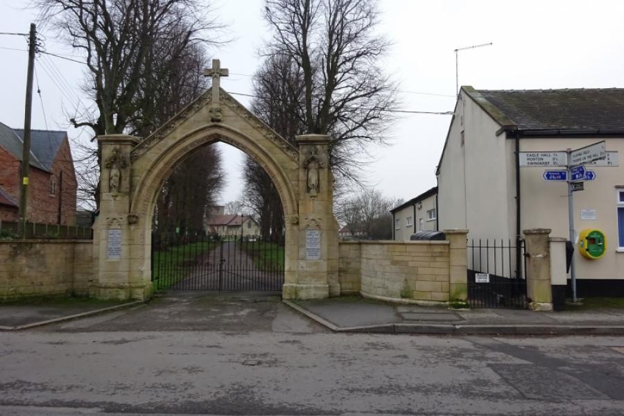
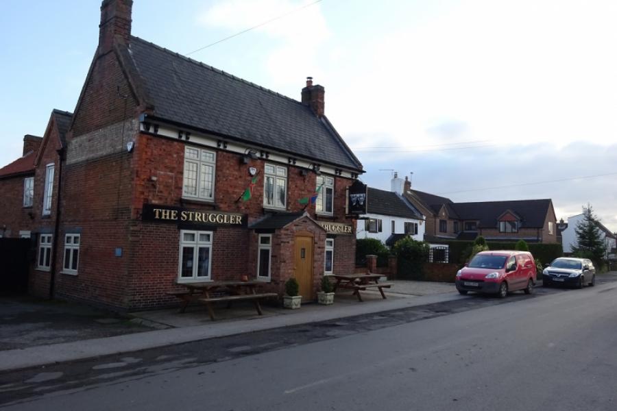
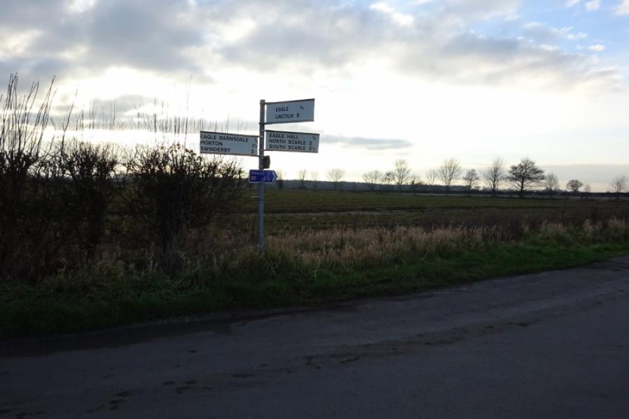
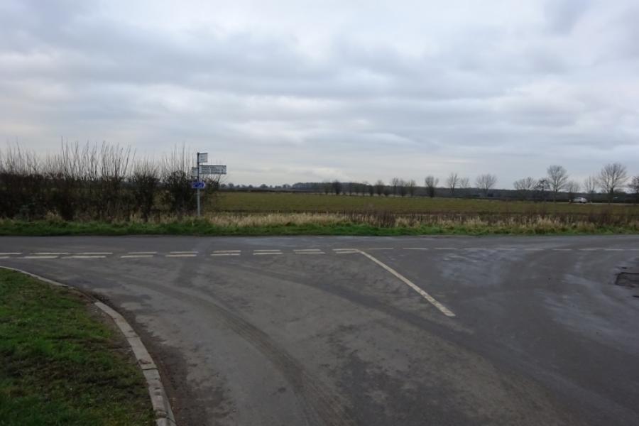
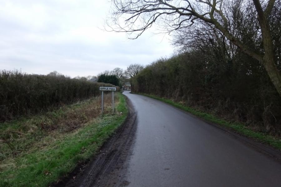
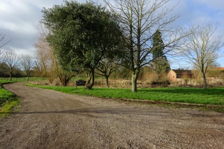
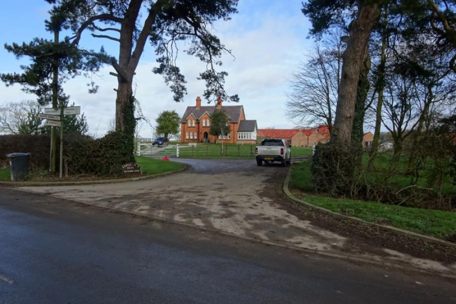
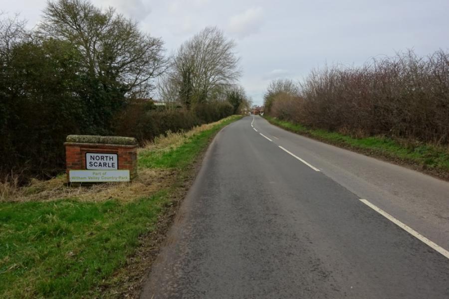
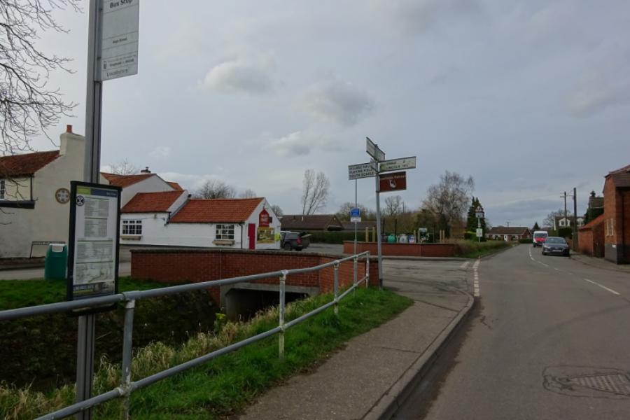
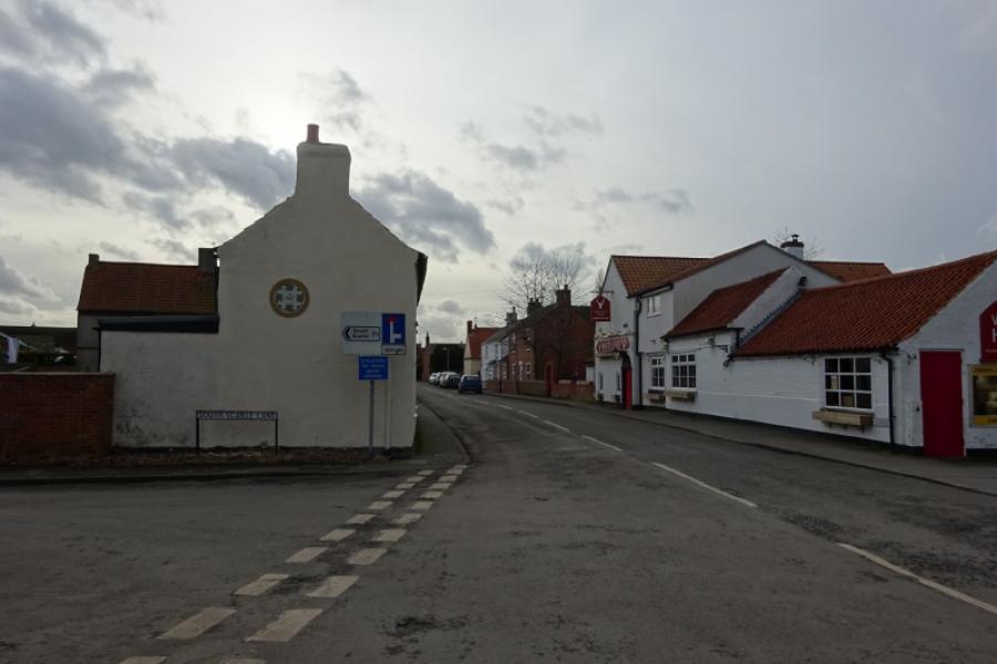
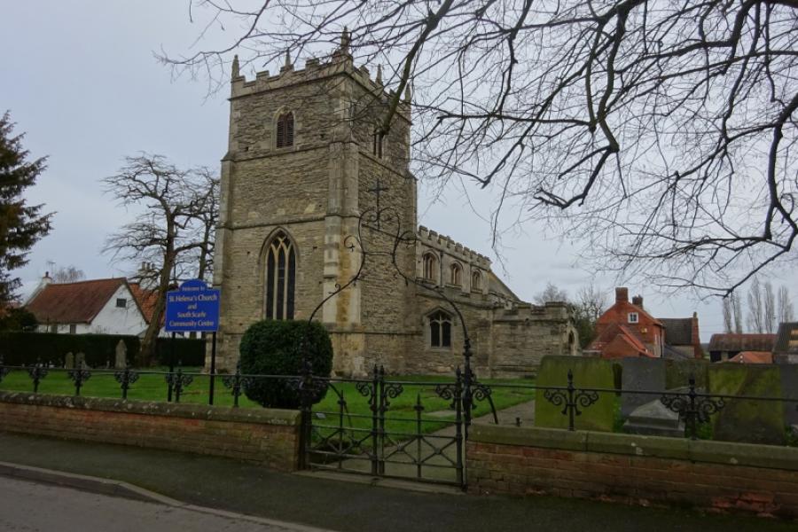
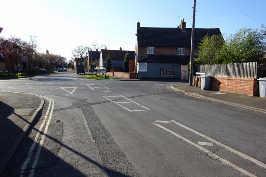
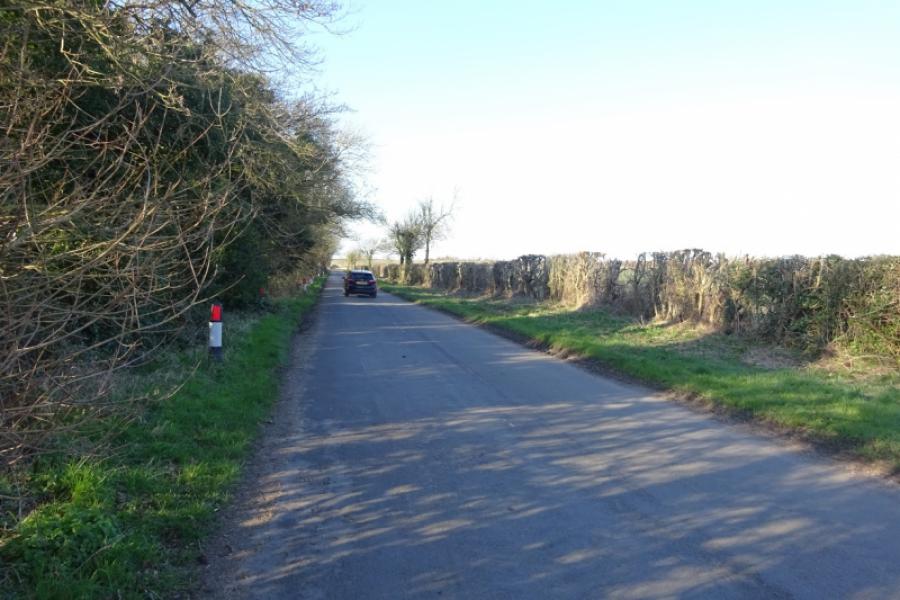
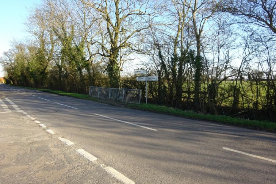
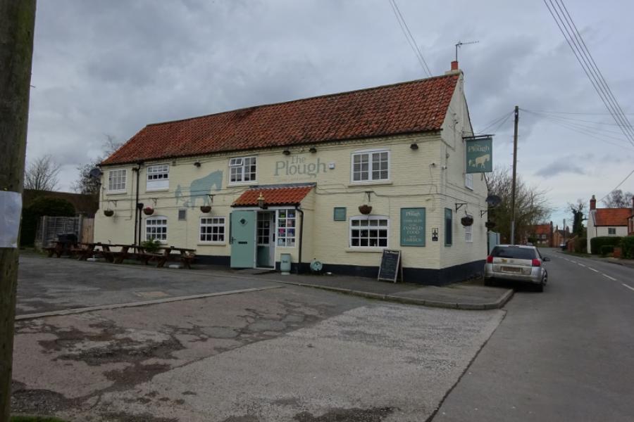
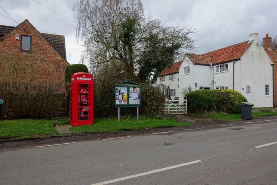
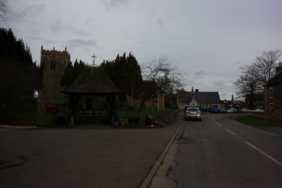
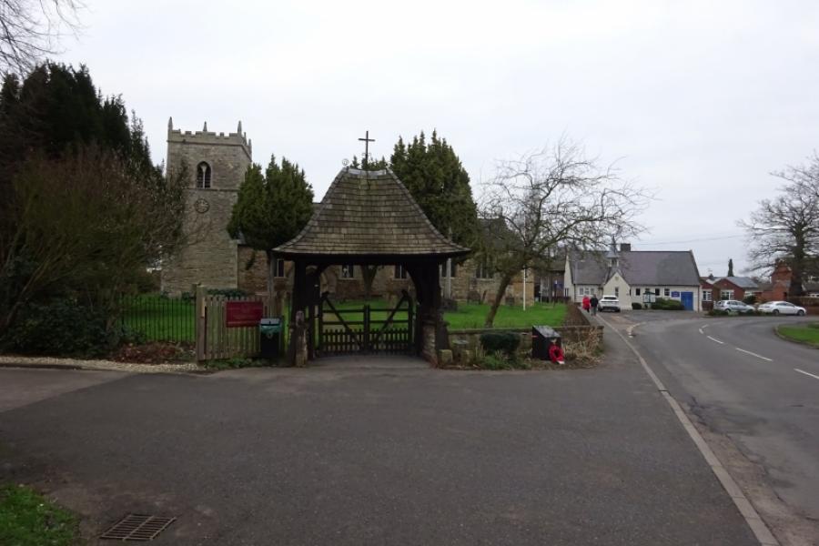
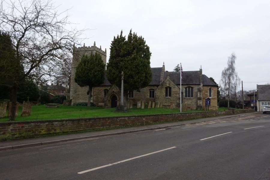
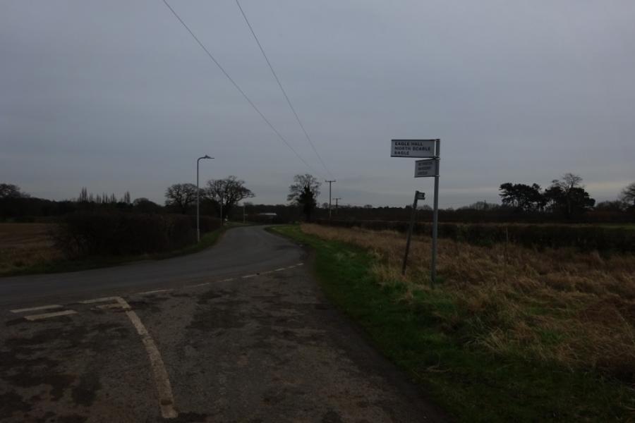
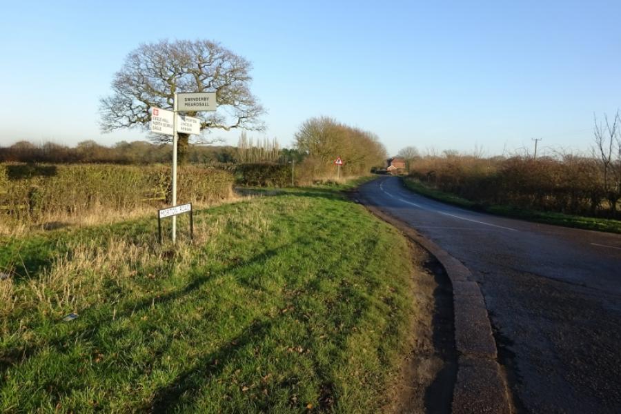
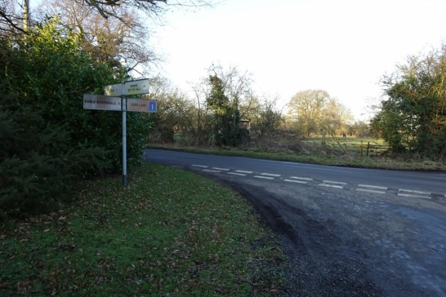
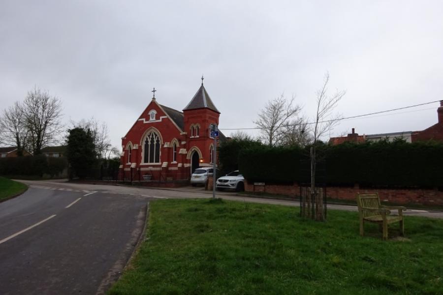
(3) Turn right, for Eagle. Reach the village and go past Scarle Lane, on the right. Reach the village hall next to the distinctive entrance to the church. Continue ahead, passing The Struggler (pub) and follow the road through Eagle. There is a left hand bend just before the end of the village followed by some downhill which leads, after a while, to a T junction. Turn right, towards North Scarle, and follow the winding road to reach the hamlet of Eagle Hall. Turn right for North Scarle and pass the entrance to Eagle Hall House (on the left) then reach a T junction by Preston's Farm (on the right). Continue ahead towards North Scarle, about a mile. Reach the crossroads, close to the White Hart in North Scarle. Turn left and go down the main street past the pub to reach the church. Retrace but only as far as the narrow Blacksmiths Lane which connects to the road for South Scarle without having to go back as far as the junction. Turn right at the end of Blacksmiths Lane and follow the road out of North Scarle. Continue ahead at a junction where a road goes left for Eagle (Eagle Hall actually). Reach a T junction at the edge of South Scarle. Turn right and go into the village which is very picturesque and wouldn't look out of place in the Cotswolds. Follow the road through the village to the church where the road, Church Lane, goes right and soon leaves the village behind. Turn left at a T junction just before a bus shelter (on the right) and take the road signed for Collingham.
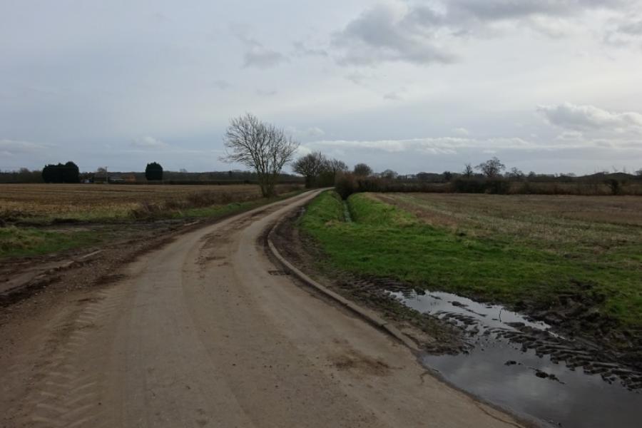
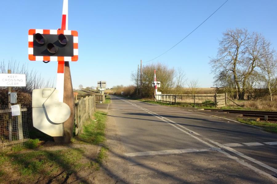
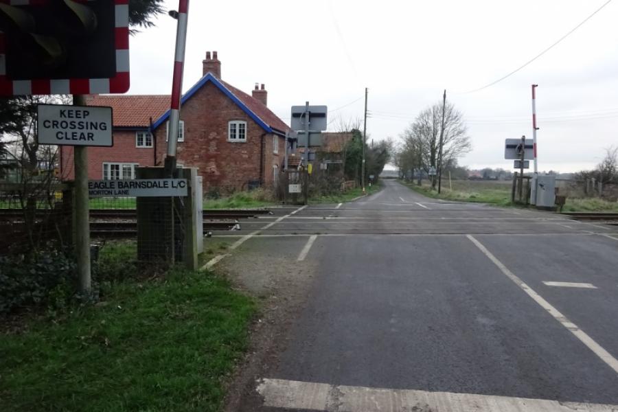
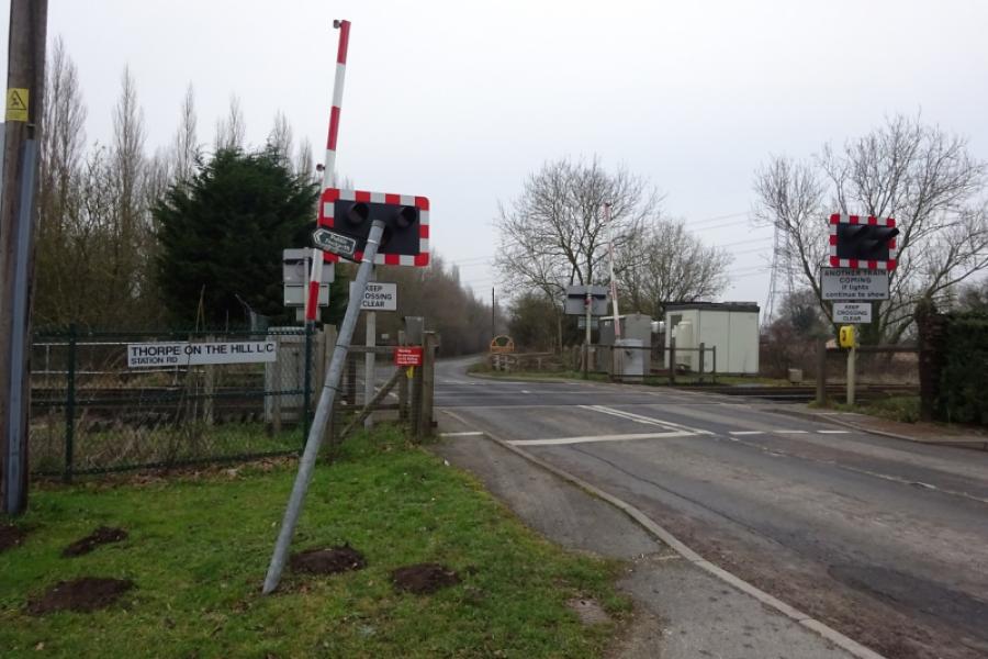
(4) Follow the road which soon climbs up a long, gently inclined hill which allows a free wheel down its other side to reach the (unsigned) outskirts of Collingham at the 30 mph signs. Continue to a T junction then turn right and continue to the main road, A1133, through Collingham. Turn left, towards the village centre, pass the Co-Op to reach the Royal Oak on the corner of Station Road. Turn left and follow the road to the station which is on the edge of the village. Go over the level crossing and continue a little further to take the next left turn and go over the level crossing further down that road. Reach a T junction at the end of the road and turn right, soon reaching another level crossing. Follow the road to the edge of Swinderby then take the third left which goes into the centre of the village. Go as far as the church, noting a right bend on the way signed for Meardsall. Retrace from the church and take the road for Meardsall which leads out of Swinderby. Reach another level crossing. Not long after is a right turn for Meardsall. Take this turning; it says no through road but bikes get through easily. Follow the very minor road to the bridleway railway crossing just after Meardsall Cottage. Cross over and continue to reach the road close to Swinderby Station – the track after crossing the railway can be muddy for about 50 metres so some may prefer to carry their bicycle. Turn left, a short detour, to visit Swinderby Station which still has a manned signal box by the level crossing.
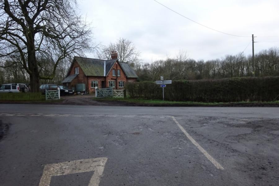
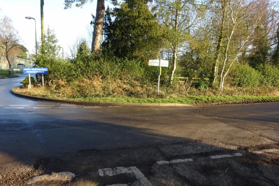
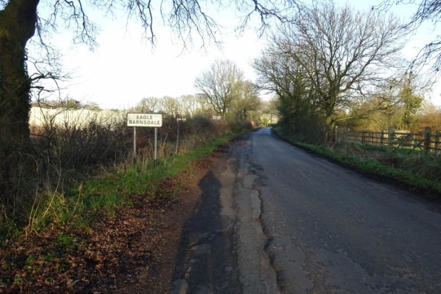
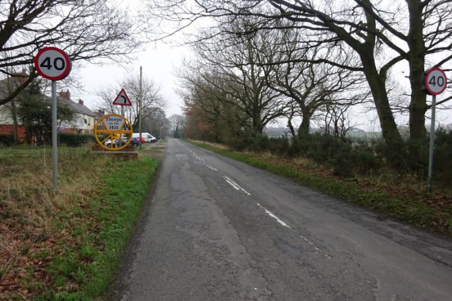
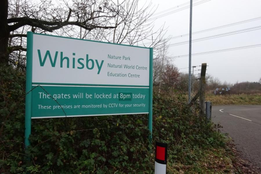
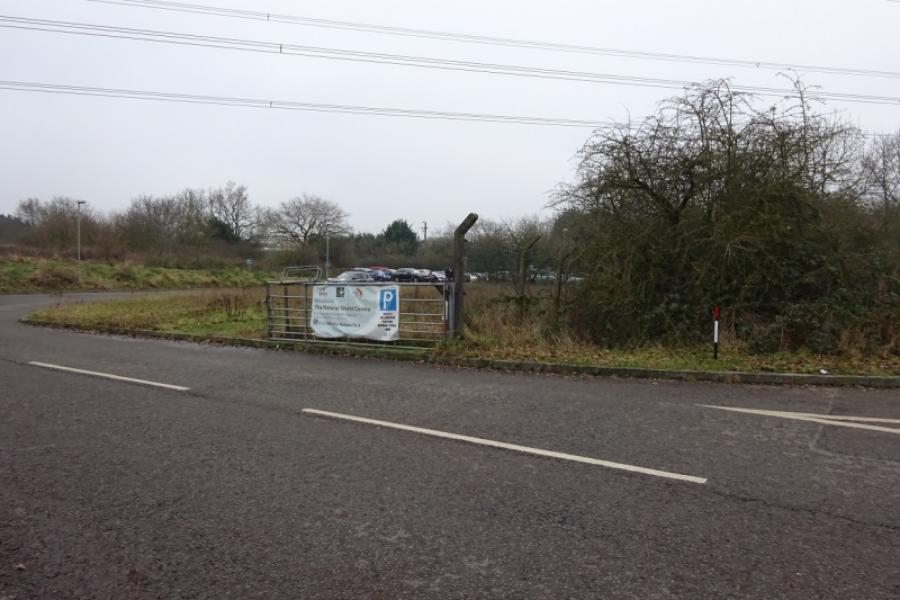
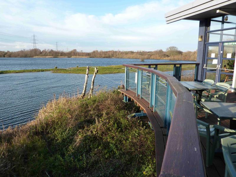
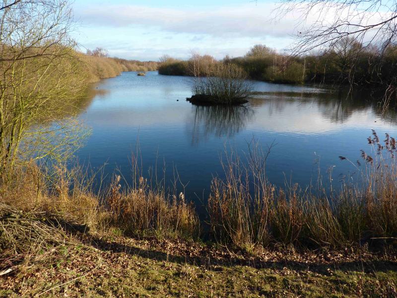
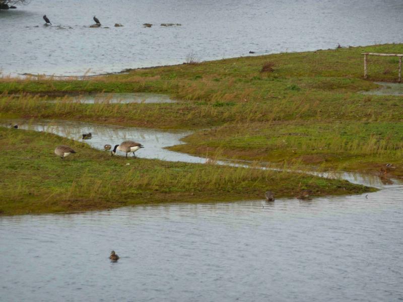
(5) Retrace slightly back to reach the road going left to Morton which is almost opposite the Meardsall turning then continue to the T junction at Morton Hall Immigration Centre. Turn left towards Eagle Barnsdale. Reach the level crossing in Eagle Barnsdale. Go across then turn immediate right for Thorpe, and follow the very minor road to join Thorpe Lane (from Eagle) at a T junction. Turn right onto Thorpe Lane and reach another level crossing. Continue to reach Thorpe on the Hill. Soon after, reach a crossroads, go straight across, and continue to the vehicle entrance for Whisby Nature Park where there is visitor centre and cafe. Cycling is not allowed around the park so you can only go around on foot.
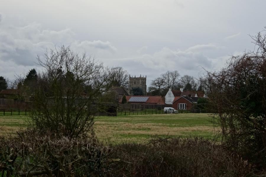
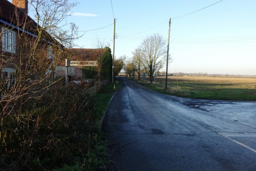
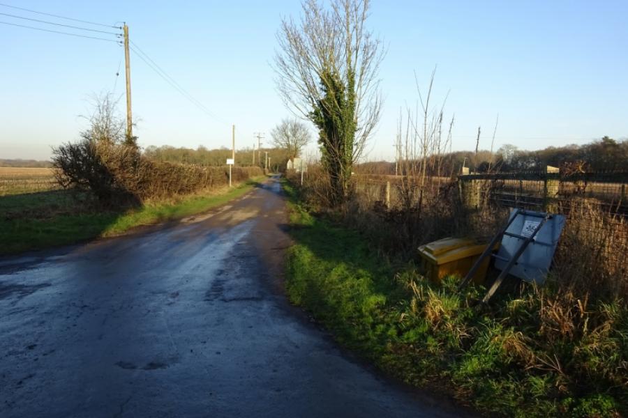
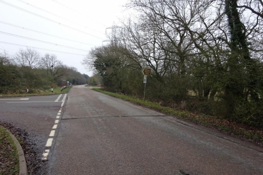
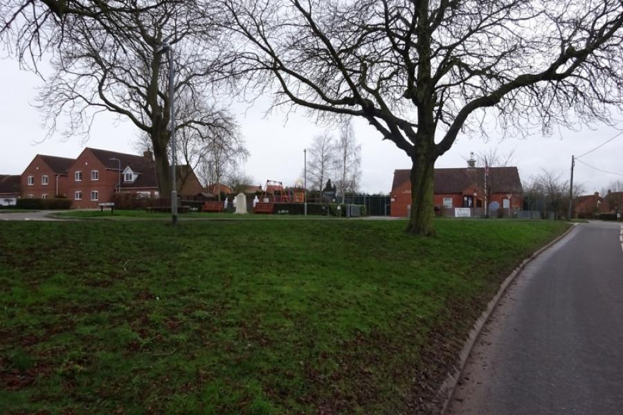
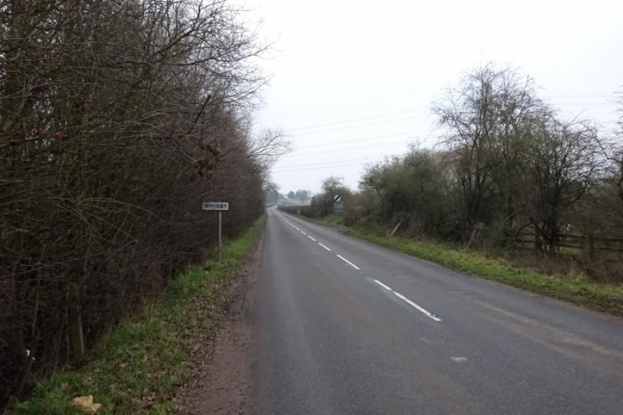
(6) When leaving Whisby Nature Park, go straight across the road, up Little Thorpe Lane. Follow the road, lastly uphill, to reach Lincoln Lane then turn right and follow the road through Thorpe-on-the-Hill passing the playground and Parish Council Meeting Room. The houses end on a right hand bend after which there is a long downhill back to the crossroads. Continue ahead to Whisby. Pass houses then the Railway Inn and go over a level crossing to enter Whisby. Soon after, the road climbs, fairly gently but for some distance, into Whisby. Continue through to reach the road between Eagle and Lincoln at Whisby Crossroads which is signed. Go straight across, pass some houses then enter a wood and reach another crossroads which is on the road between Eagle Moor and Skellingthorpe. Go straight across for Doddington, and follow a meandering road to reach the busy B1190 at one end of Doddington village. It is only a short section on this busy road and there is a good footpath on both sides of the road.
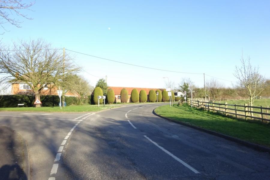
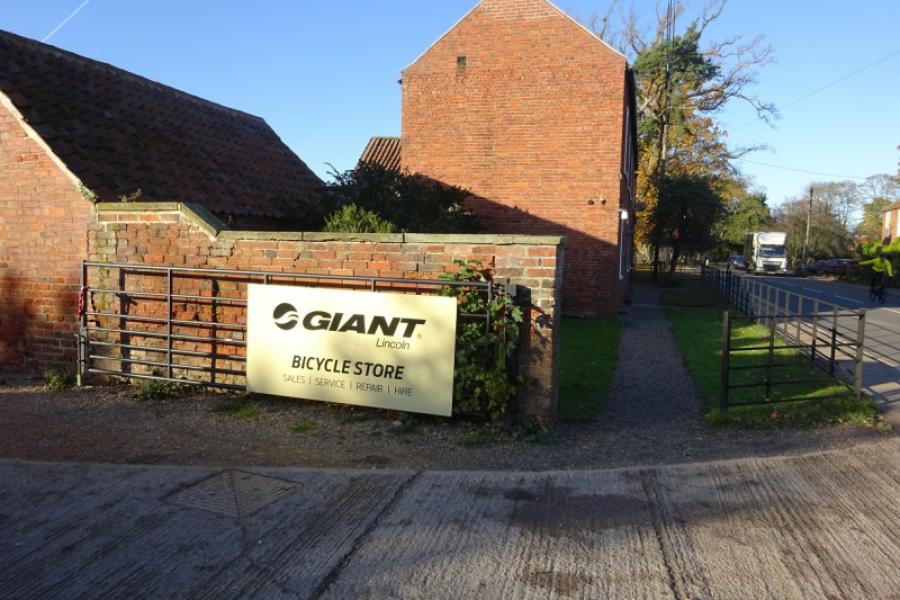
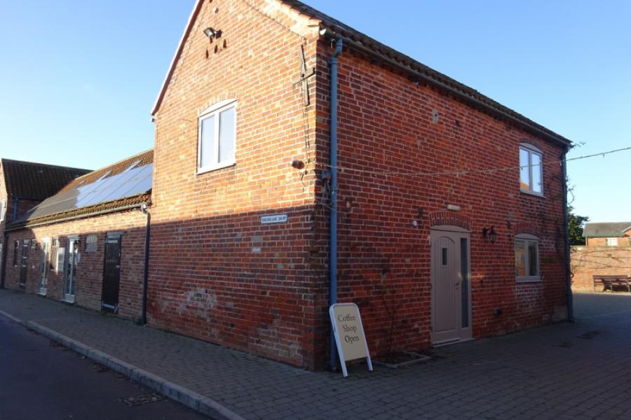
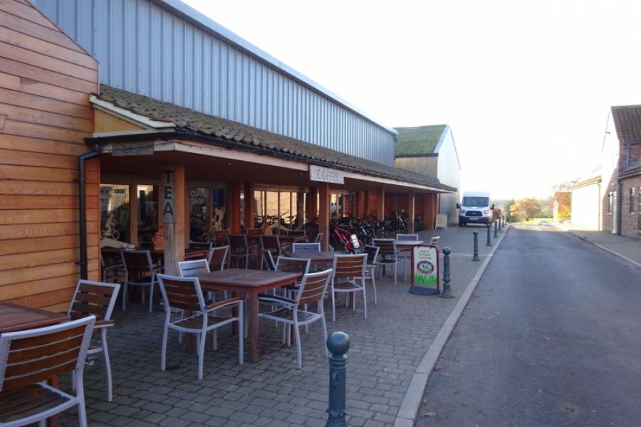
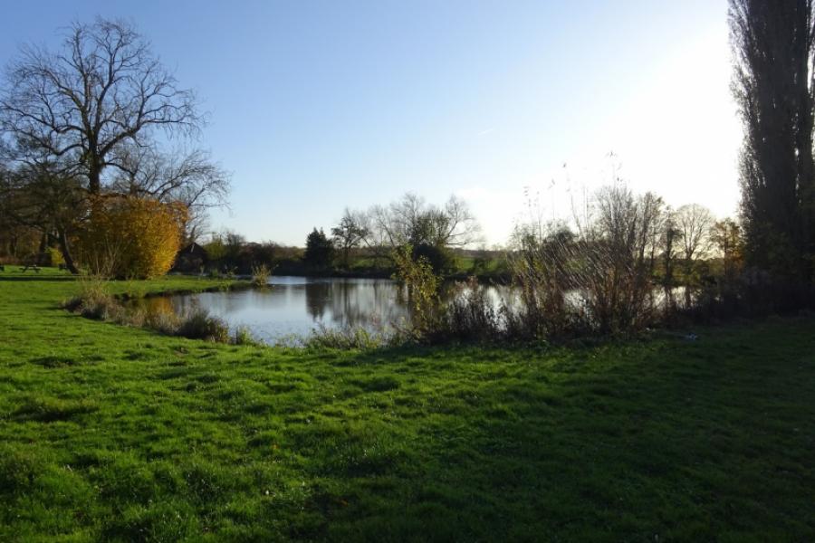
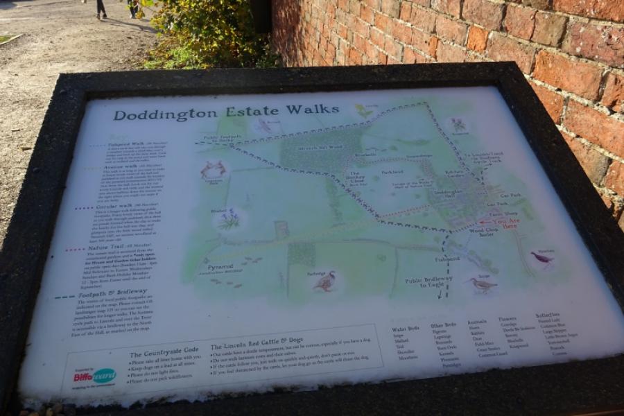
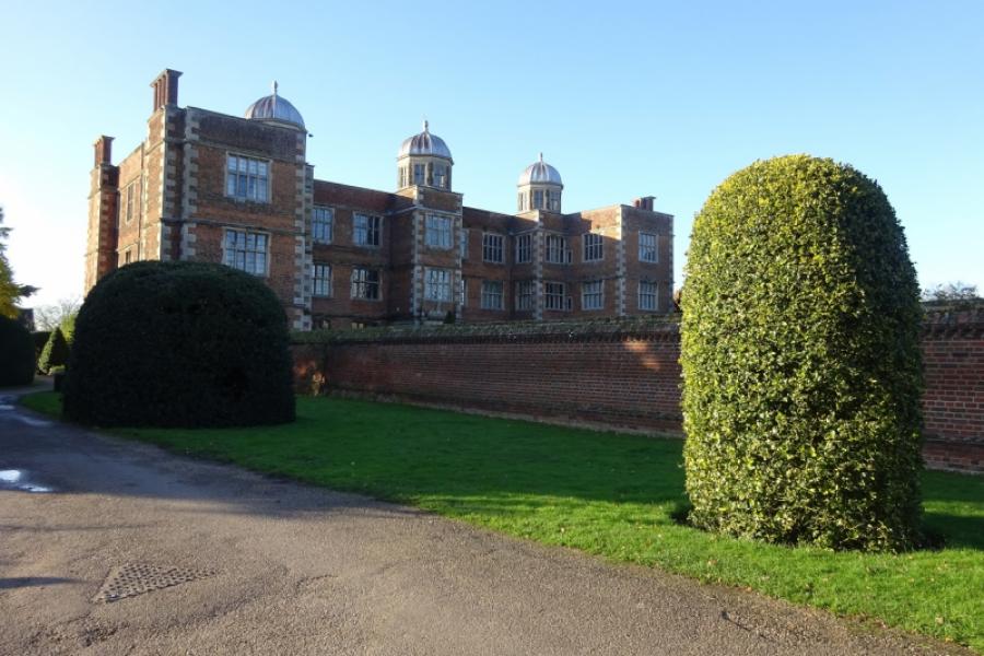
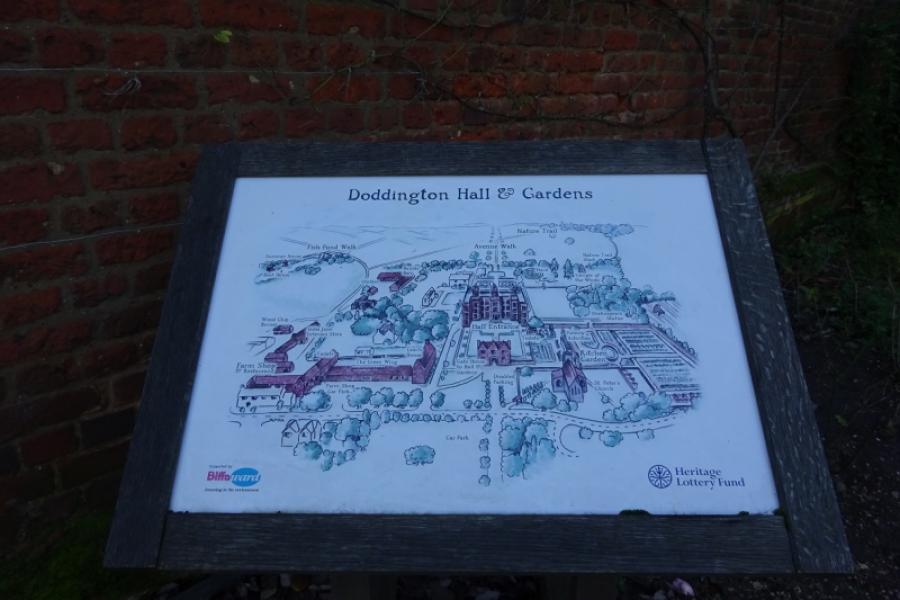
(7) Soon after joining the main road, there is a wide drive with a sign for “Giant Cycles”. This is the way into the Doddington Hall facilities apart from the actual hall itself which is slightly further down the road. Doddington Hall dates back to Elizabethan times. The facilities include shops and two tearooms as well as a cycle shop. Depending on the time of year, parts of the hall, itself, may be open. It is worth going past the cycle shop to look at the back of the hall and fairly picturesque small lake. In the run up to Christmas, there is a Christmas shop on the way to the lake. Return to the main road and find the start of Kennel Lane, opposite the church. Follow Kennel Lane for less than 100 m, going straight on where it bends to the right. Join the recently created cycle track which takes one back to the main sustrans track from Skellingthorpe. Turn right onto the main track and soon return to the community centre.
Notes
(a) This cycle ride took place in March, 2020.
Photos - Hover over photo for caption. Click on to enlarge. Click on again to reduce.


![]()
![]()


![]()
![]()
![]()
![]()
![]()
![]()