Get Lost Mountaineering
You are here: England » Lincolnshire » Lincoln Area Cycle Rides » From Skellingthorpe initially going East towards Lincoln & Other routes
Skellingthorpe Odder Broxholme Tillbridge Lane Sturton Ingleby Saxilby Old Wood
Skellingthorpe Odder Broxholme Tillbridge Lane Sturton Ingleby Saxilby Old Wood
Start/Finish
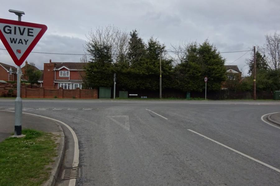
Skellingthorpe community centre where there is usually ample free parking. This is most easily reached from the Skellingthorpe roundabout on the A46 Lincoln bypass. Take the road into Skellingthorpe and the car park is roughly where the cycle track from Lincoln crosses the road.
Distance/Time
26 km/16 miles About 2 hours
Introduction
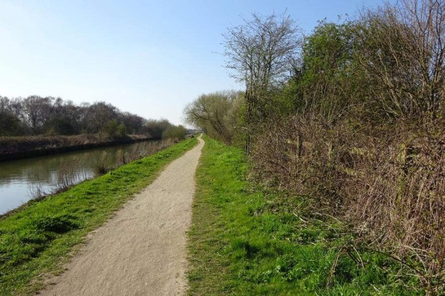
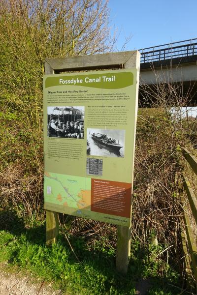
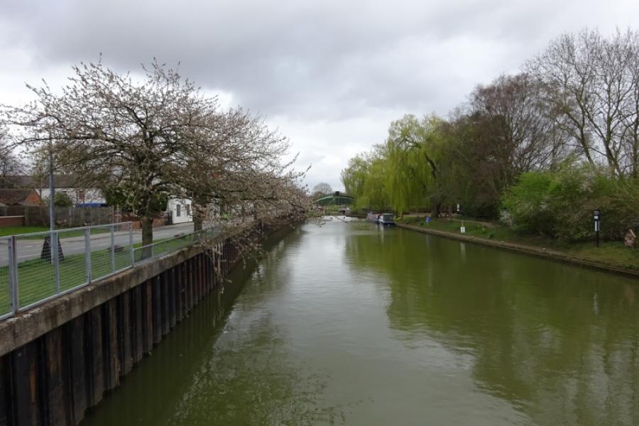
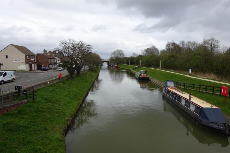
This is a pleasant cycle which uses cycle tracks and quiet roads. The River Till is crossed 3 times and the route goes through Saxilby village. Some of the route is alongside the Foss Dyke which is a bit rough as a cycle track but passable. Tillbridge Lane can be busy with many cars travelling at high speeds.
Route
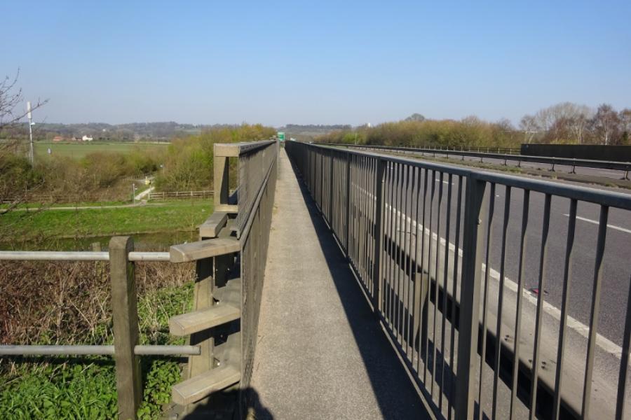
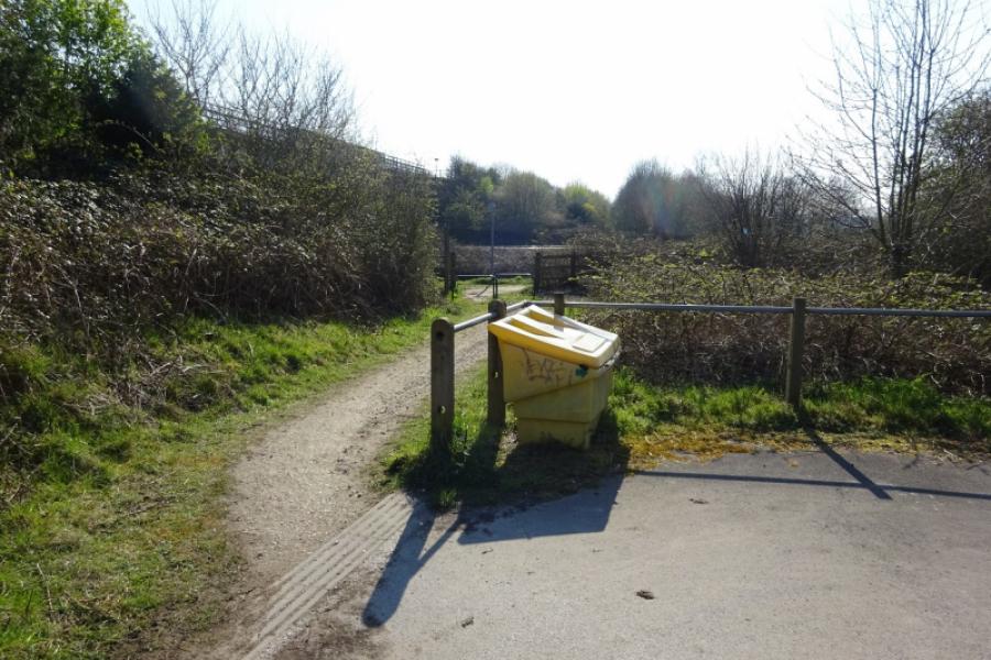
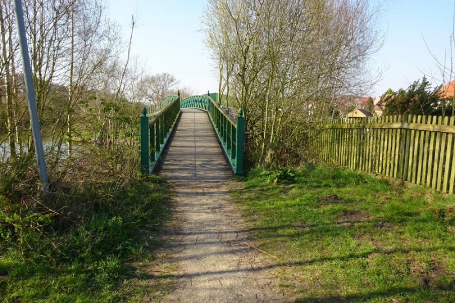
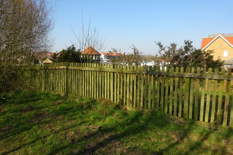
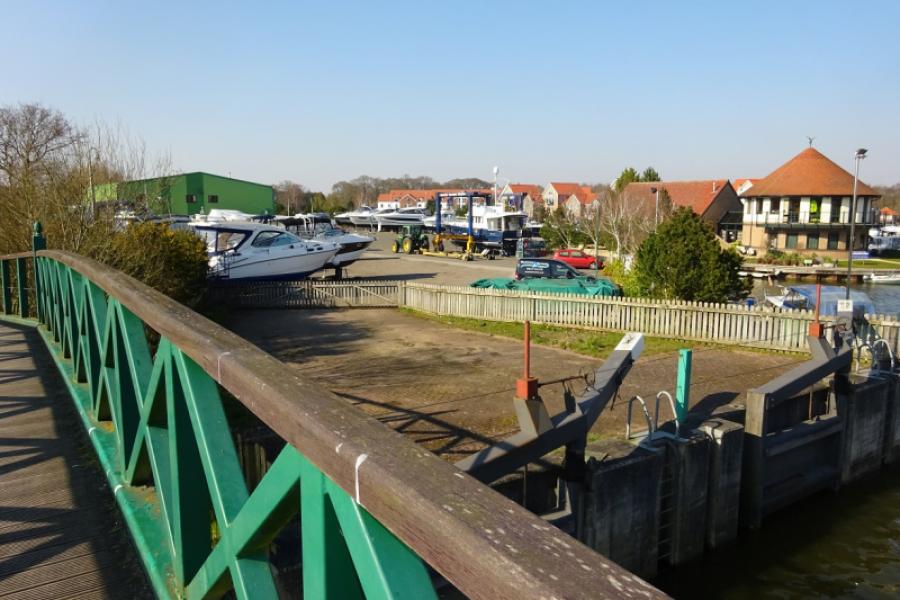
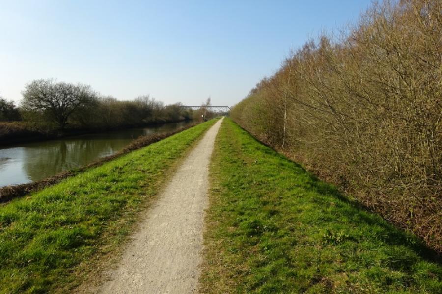
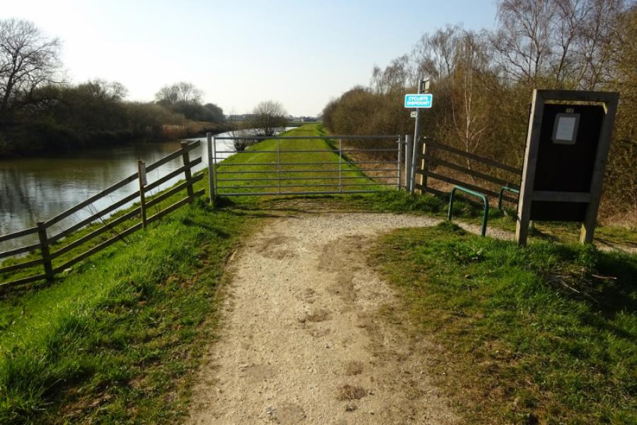
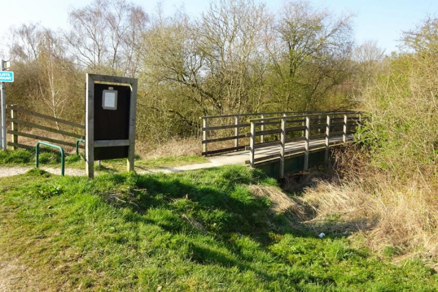
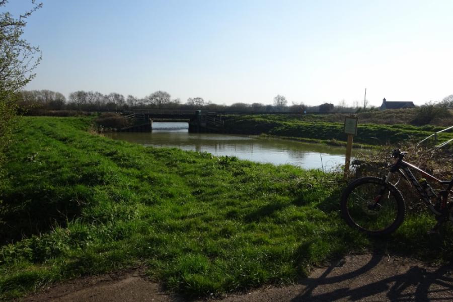
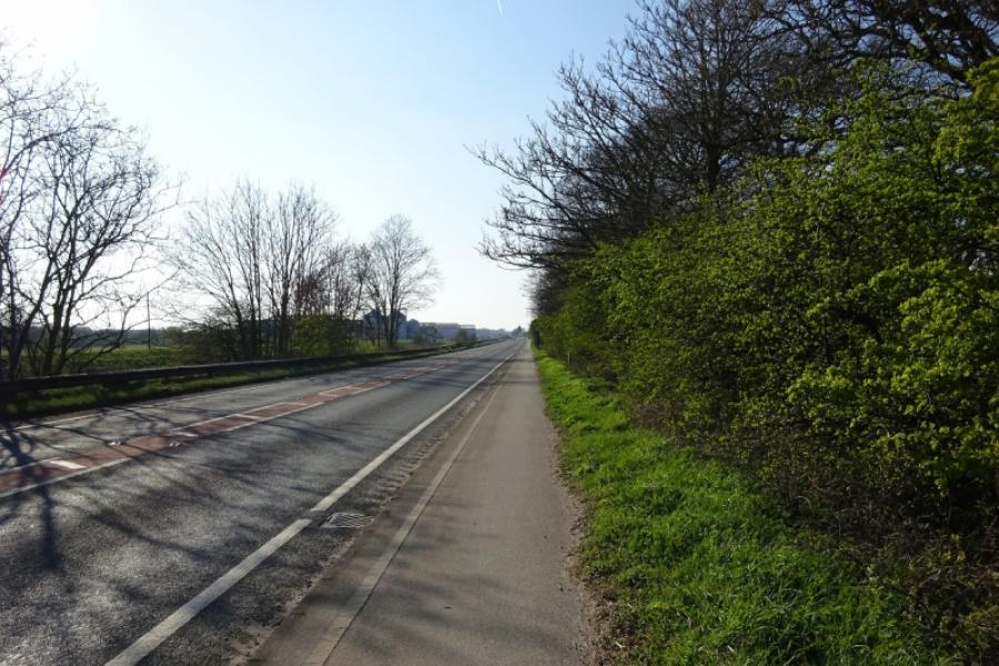
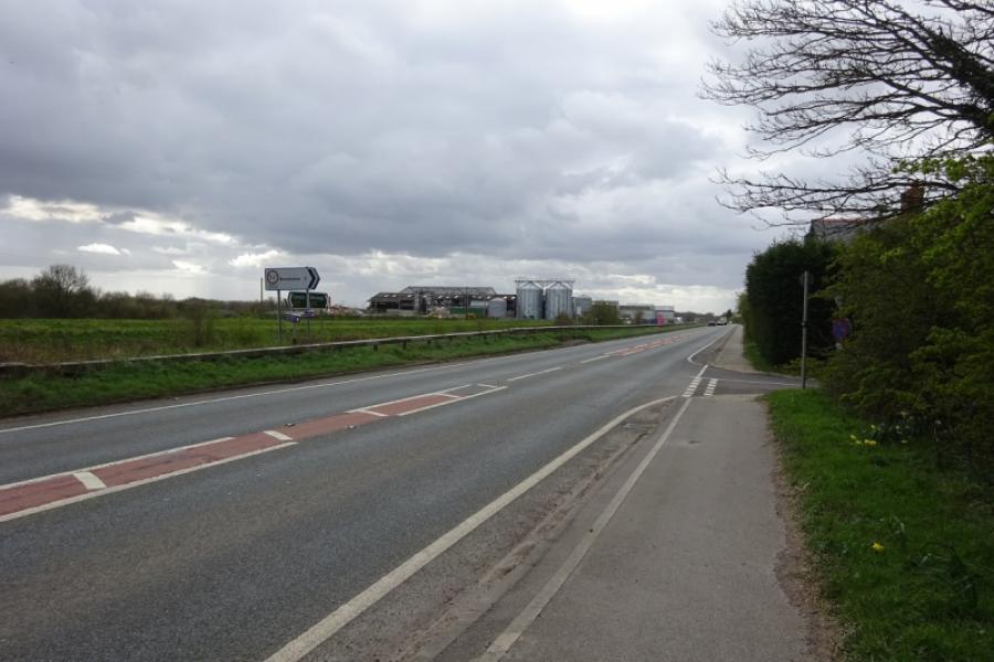
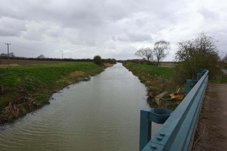
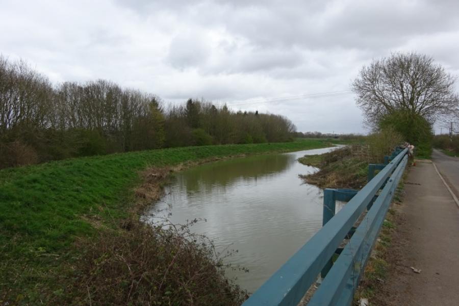
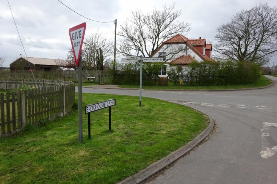
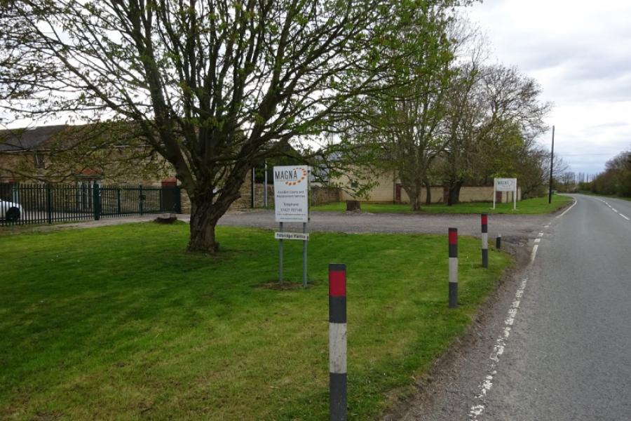
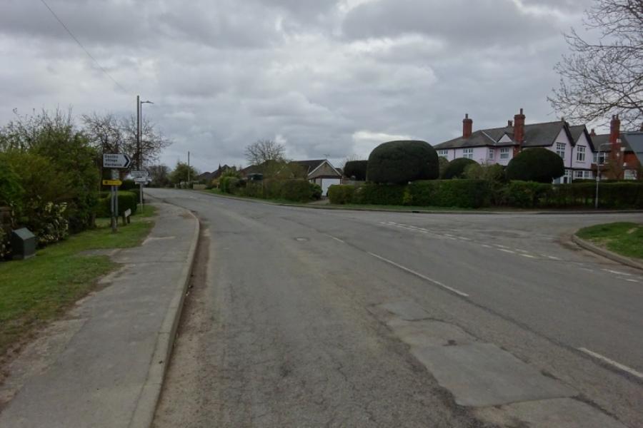
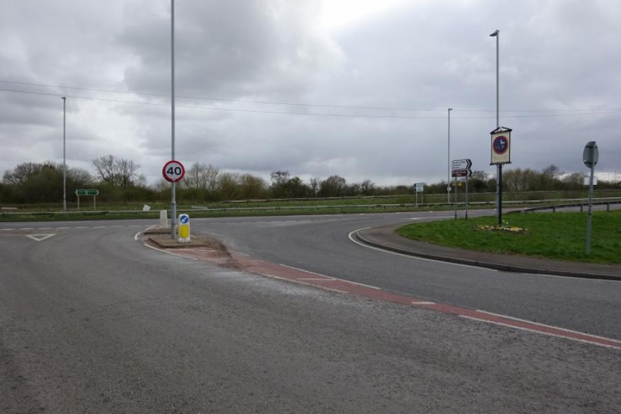
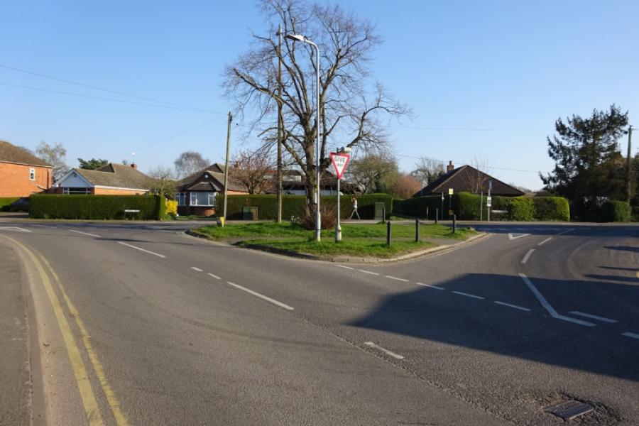
(1) From the community centre car park, cross the road and follow the sustrans track towards Lincoln. Reach a junction almost below the A46 Lincoln bypass and continue ahead on a narrower track, in the trees and below the bypass. This leads up to the side of the bypass and crosses by a self contained but narrow bridge so you are safe from the traffic. Cross the Foss Dyke and railway then descend the other side which has a tight hairpin bend early in the descent. At the second hairpin, go straight on and join the cycle track alongside the Foss Dyke. Turn right, towards Saxilby, with the bypass bridge now behind you. Continue on the rough cycle track. Pass Burton Waters (houses and marina) and continue until the track ends and one is directed off to meet the main A57 road opposite a used car garage. Cross over and follow the old road, left, towards Saxilby. This crosses the River Till just before it joins the Foss Dyke. The cycle path then follows the side of the A57 towards Saxilby before ending. Soon reach the sign for Broxholme and turn right; this is at the hamlet of Odder.
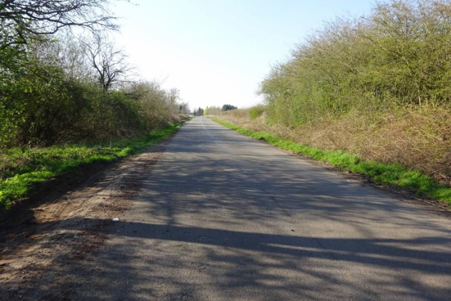
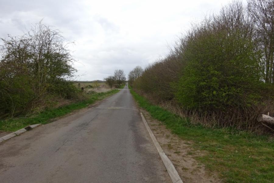
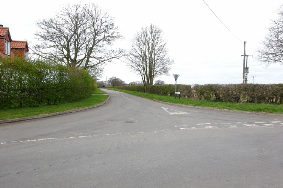
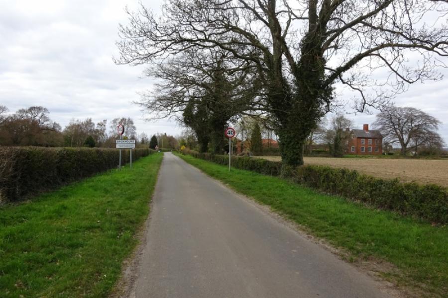
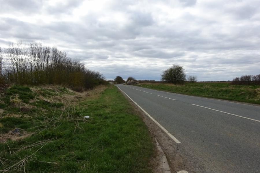
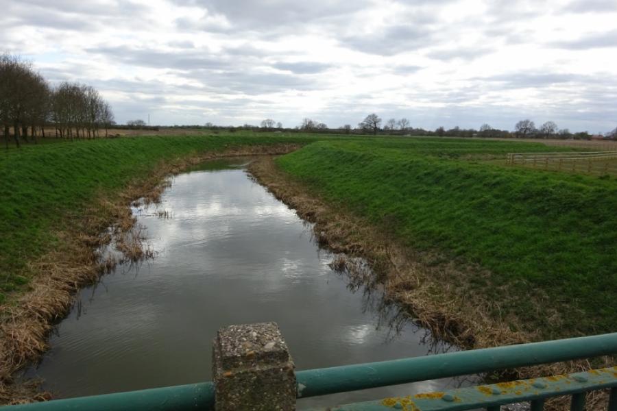
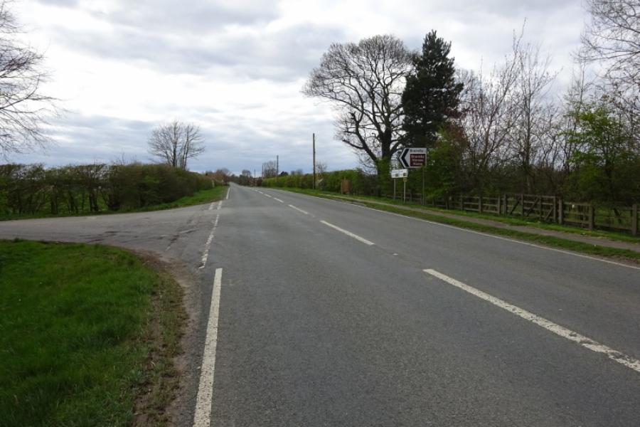
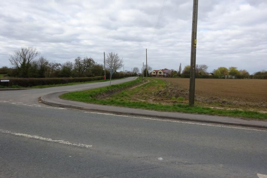
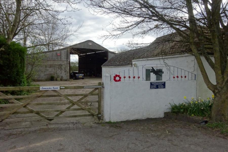
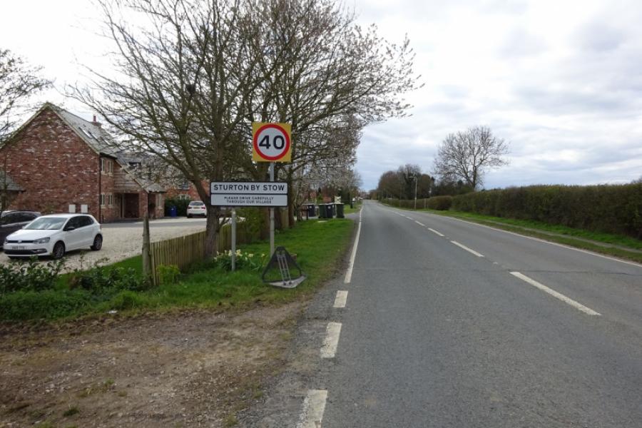
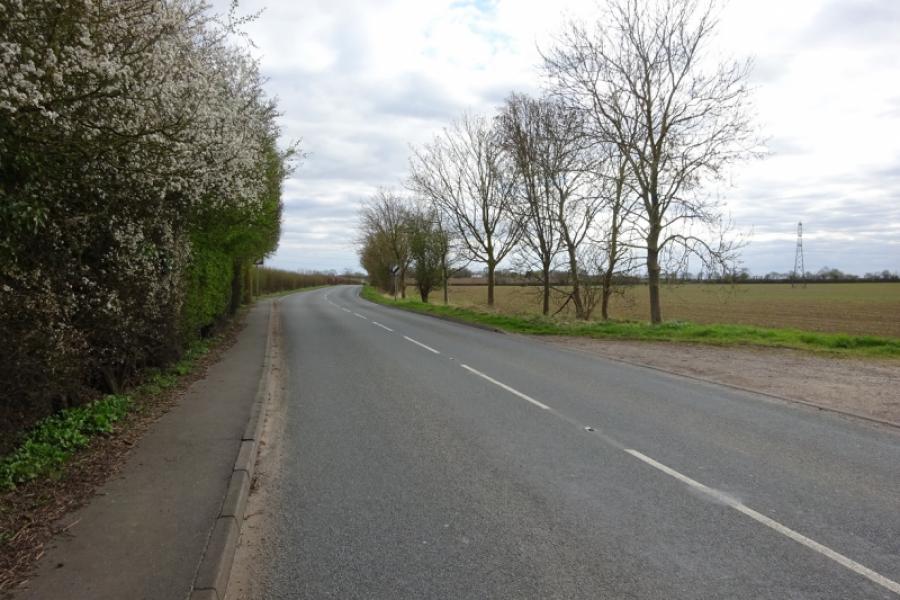
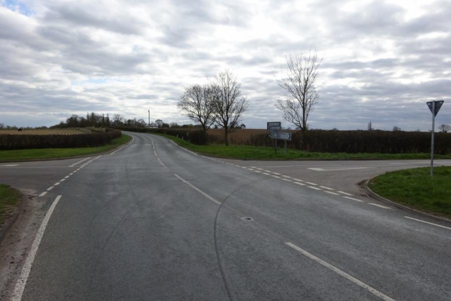
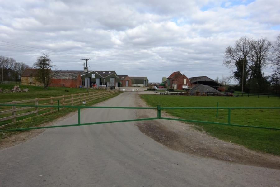
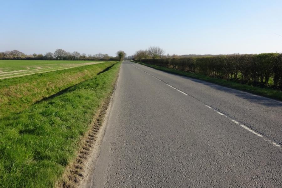
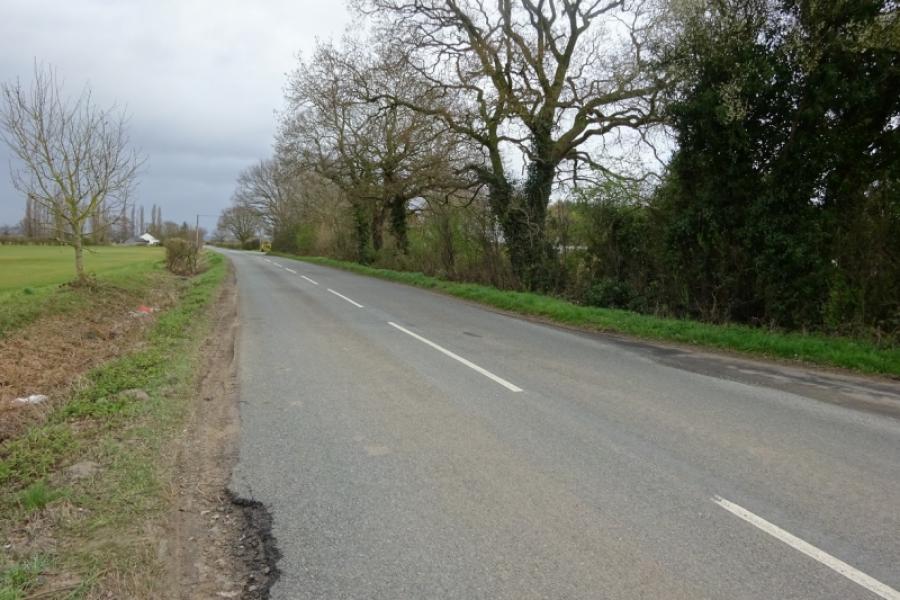
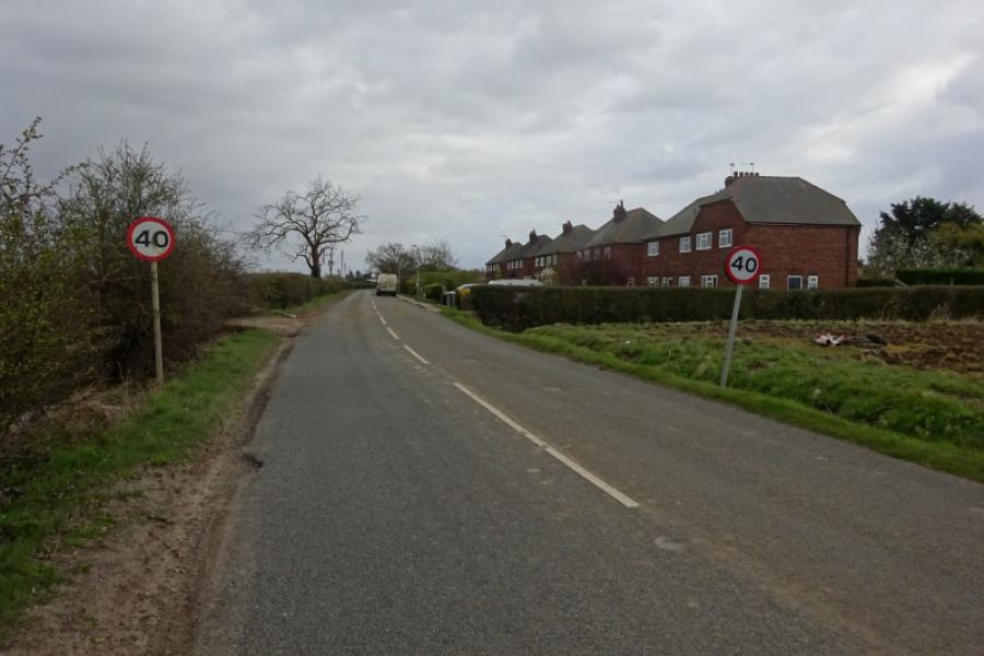
(2) Follow the long straight road towards Broxholme, crossing the River Till. Reach Broxholme crossroads then continue across to soon reach the hamlet of Broxholme. Continue, around a few bends, to reach the often busy Tillbridge Lane. Turn left, towards Sturton. Almost immediately, cross Cricket Bridge. The Ordnance Survey map does name the river but it is a tributary of the River Till which it joins about 1.5 km downstream. Continue and pass the buildings at Tillbridge Farm then cross the Till Bridge soon after. Pass the left turn for Bransby then the right turn for Thorpe le Fallows. Soon after pass Lancaster Farm, on the left, where a plaque on the gate tells about a Lancaster bomber crashing onto the farm during the Second World War. Continue to reach Sturton by Stow.
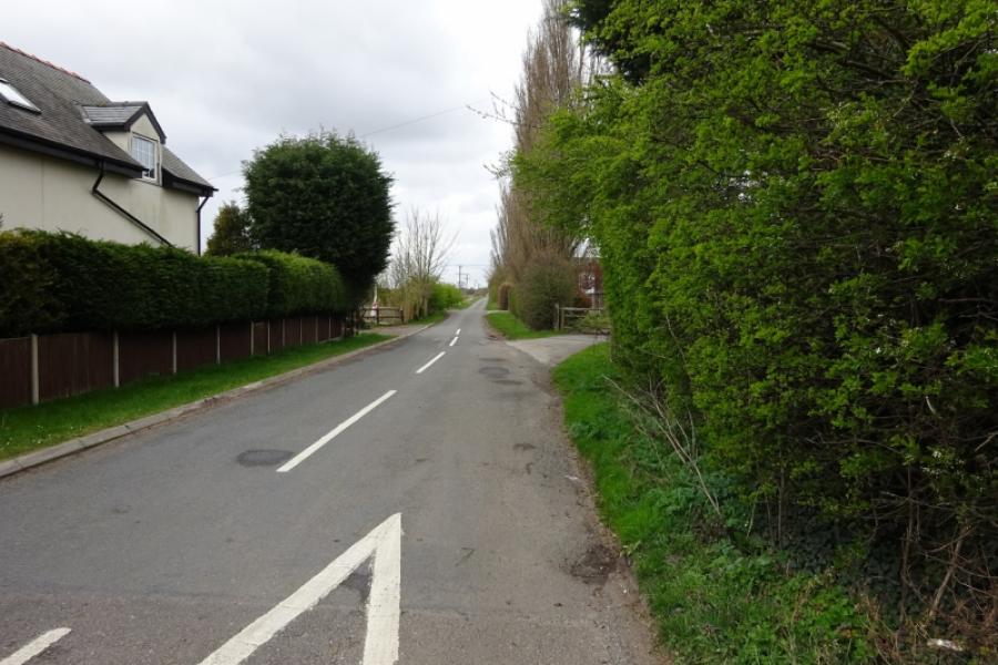
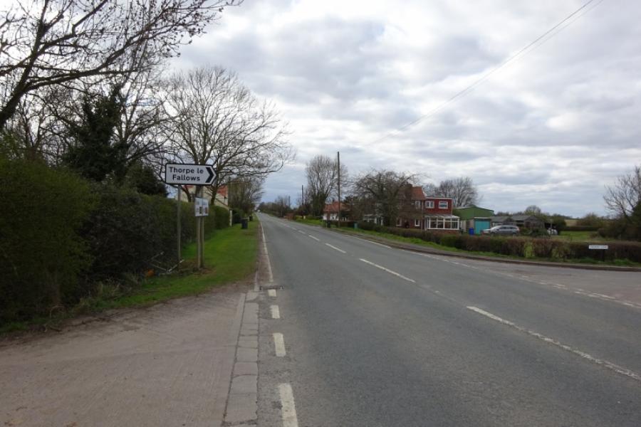
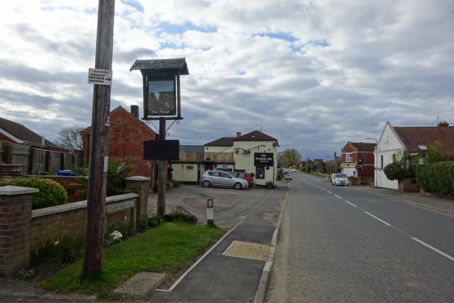
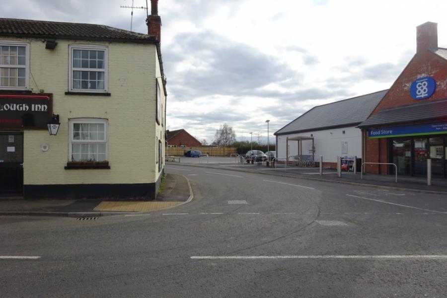
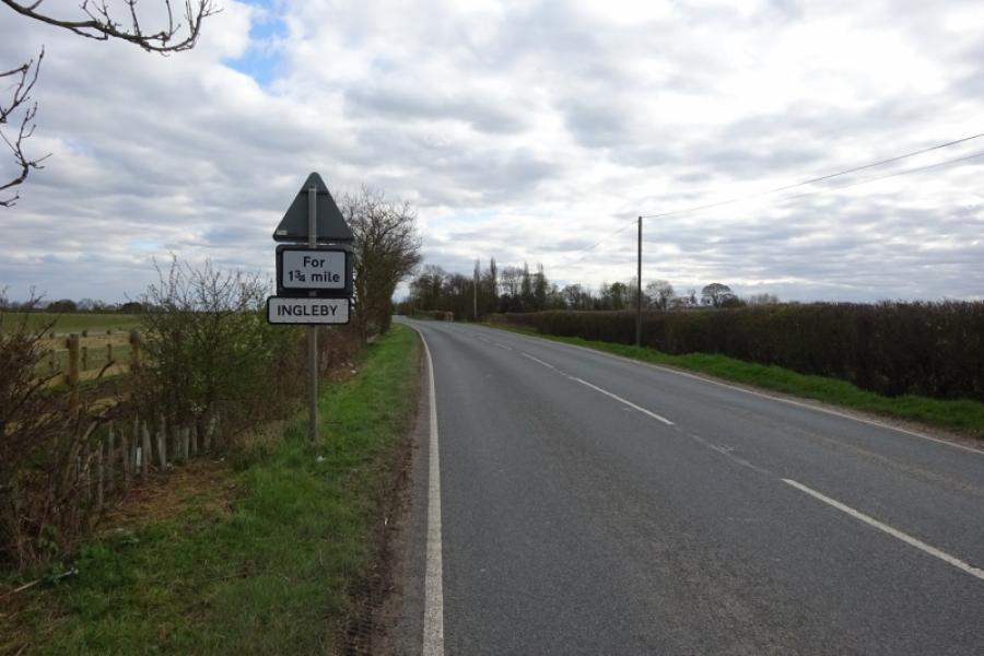
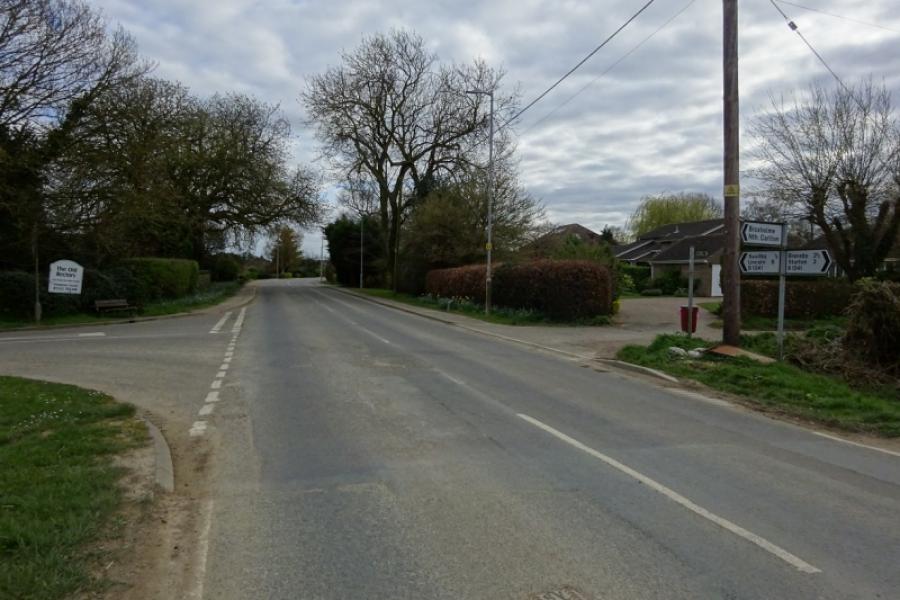
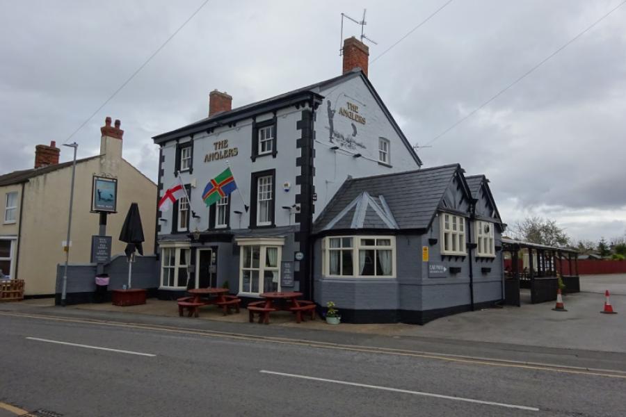
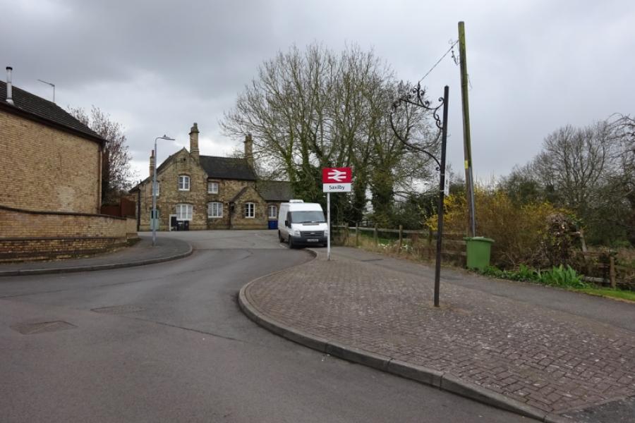
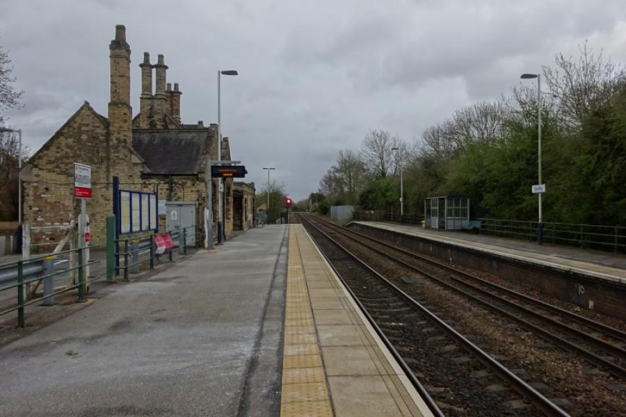
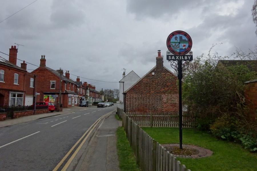
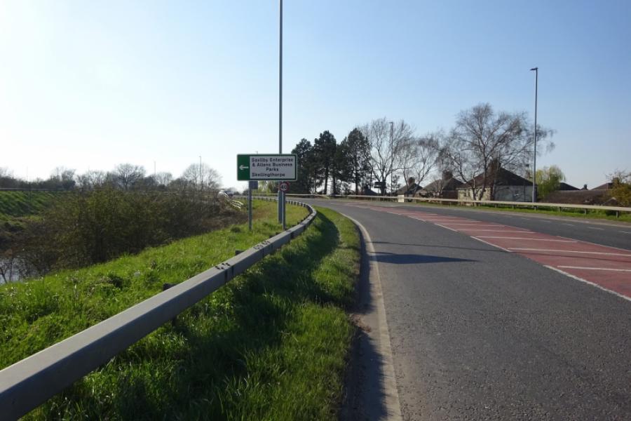
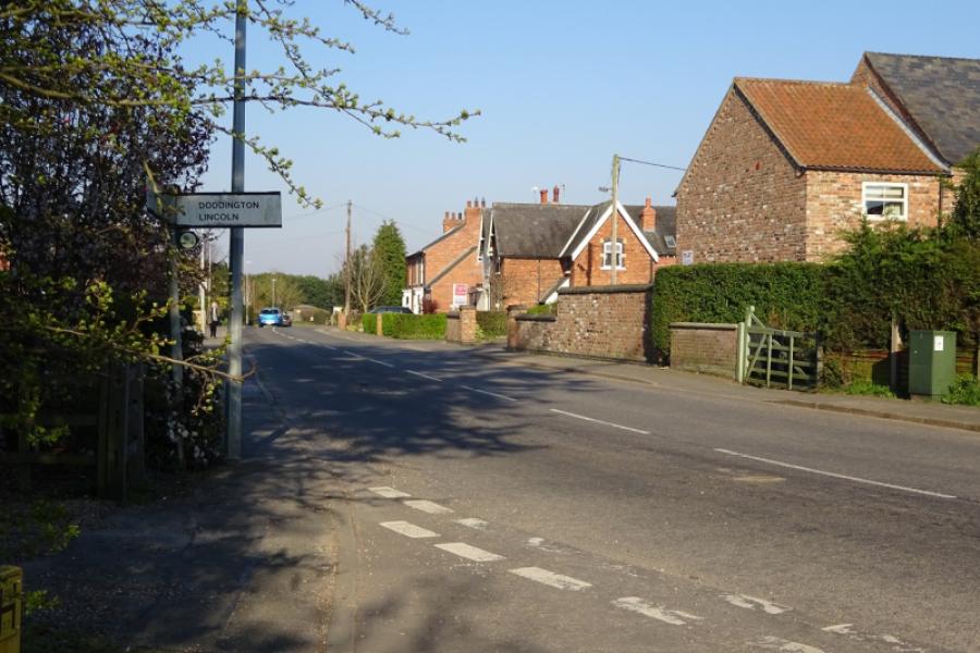
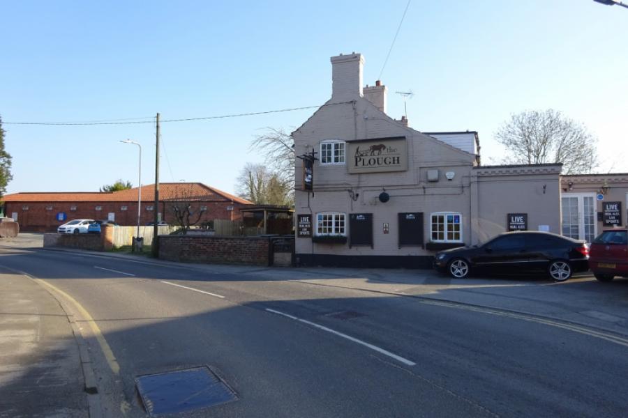
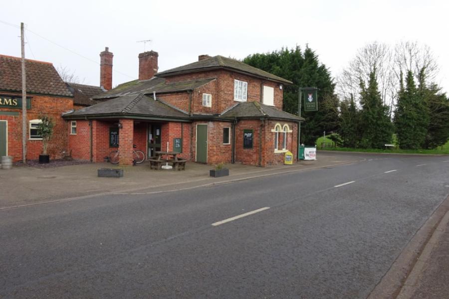
(3) Turn left to take the road between the Plough Inn and the Co-Op which is the road to Saxilby. Follow this out of the village. Cross the road from Bransby to Torksey then reach the strung out hamlet of Ingleby which starts with Ingleby Chase and finishes with Ingleby Grange with about a mile in between. Continue and soon reach the edge of Saxilby then pass the road from Broxholme. Continue then take the right turn signed for Saxilby village. Pass the church, short detour on the right, and continue past the Co-Op into the village. The station can be visited by a short detour on the right after passing the village hall. The road eventually runs alongside the Foss Dyke before leaving the shops behind and bends round to reach Mill Lane. Turn right to reach the busy A57. Turn right and go up onto the bridge then take the left turn on the top of the bridge for Skellingthorpe.
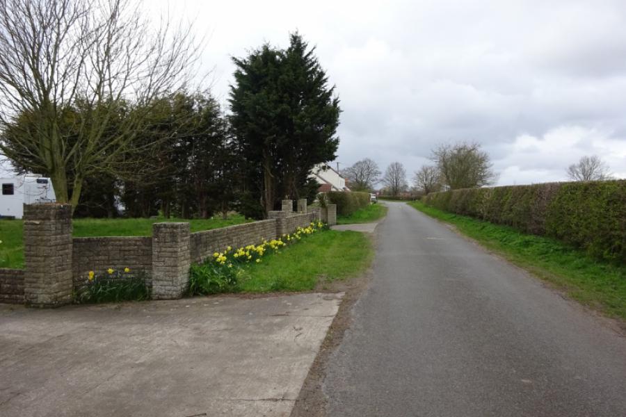
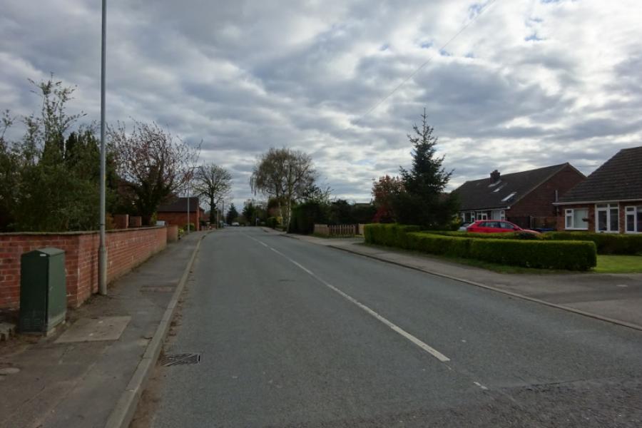
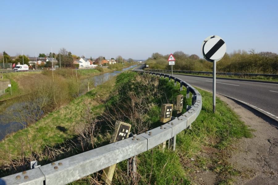
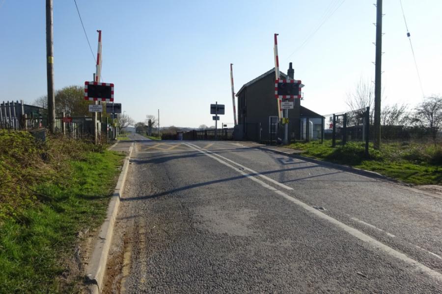
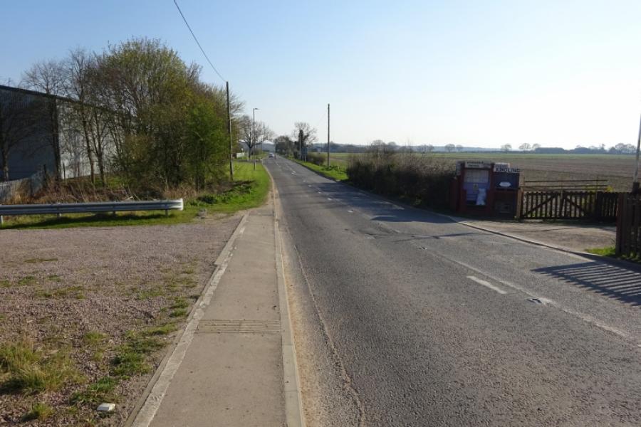
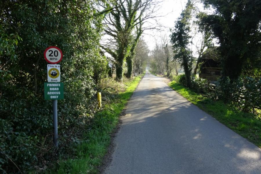
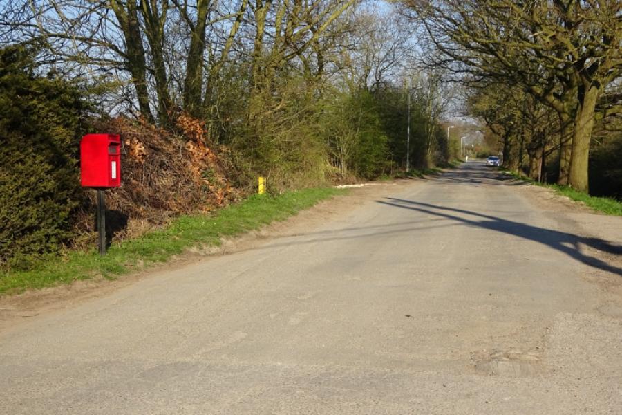
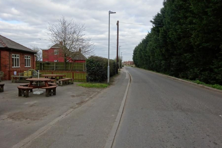
(4) Follow the back road towards Skellingthorpe, initially alongside the Foss Dyke then over a level crossing. Continue past a small industrial estate then around a left handed bend to reach the road, on the right, into the Old Wood. After a couple of bends, the road straightens out and continues for some distance until it ends at a five way junction of rough roads and bridleways. Turn left onto the rough road and follow it to a T junction where there is a pillar box. Turn left and go past a cemetery to reach the back road left earlier. Turn right and pass the Plough Inn and Co-Op to reach a triangular junction. Turn left and follow the road back to the community centre.
Notes
(a) This cycle ride took place in April, 2020.
(b) If you wish to avoid Saxilby village then stay on the road from Sturton and don't take the right turn into the village.
(c) Those not wishing to visit the Old Wood can stay on the back road which shortens the route by about 2 km.
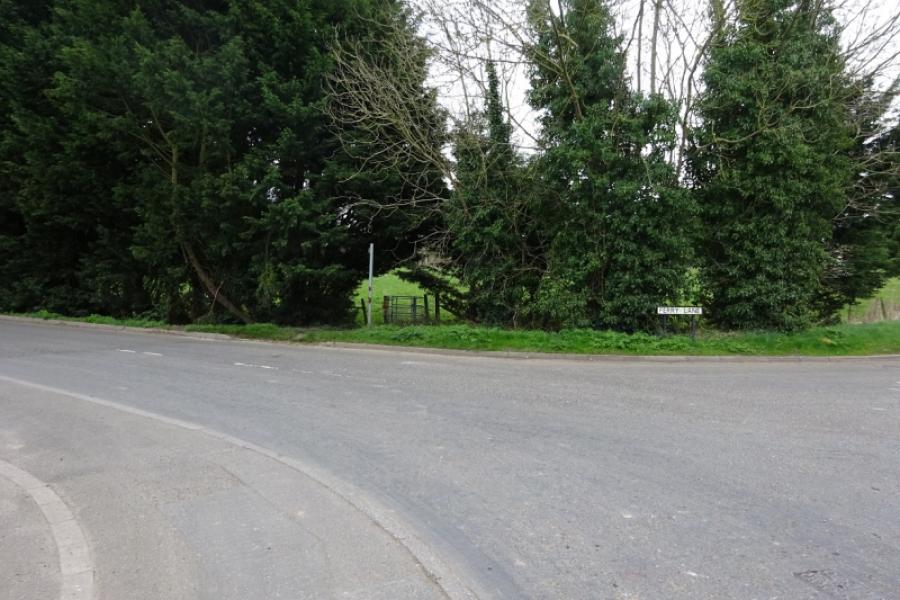
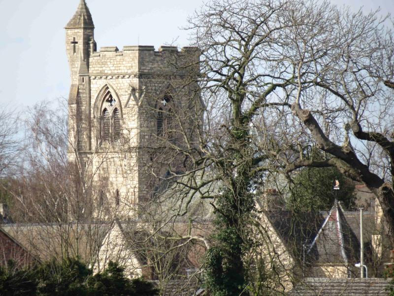
(d) St. Lawrence's church is worth a short detour. Go straight on at the right hand bend, Ferry Lane, after leaving the triangle by the Co-Op.
(e) An alternative route through Skellingthorpe if not going through the Old Wood is to turn left at the Stones Arms into Ferry Lane then turn right at the next junction and follow it, past St. Lawrence's Church, back to the main road on the main bend in Skellingthorpe.
Photos - Hover over photo for caption. Click on to enlarge. Click on again to reduce.
![]()
![]()
![]()
![]()
![]()