Get Lost Mountaineering
You are here: England » Lincolnshire » Lincoln Area Cycle Rides » From Skellingthorpe going West towards Harby but NOT crossing the Fledborough Viaduct over the River Trent
Skellingthorpe N Clifton Newton Laughterton Kettlethorpe Fenton Saxilby
Skellingthorpe N Clifton Newton Laughterton Kettlethorpe Fenton Saxilby
Start/Finish
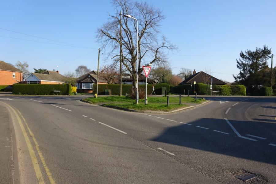
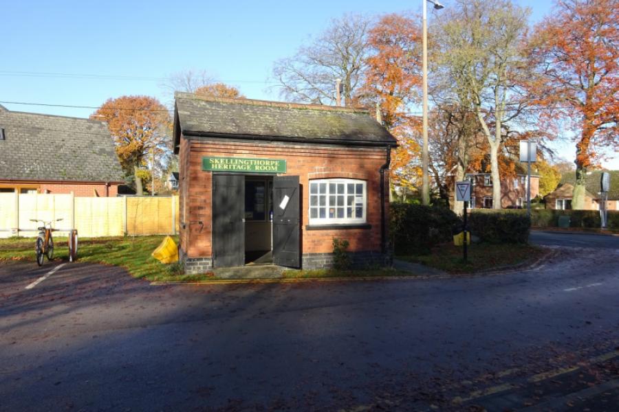
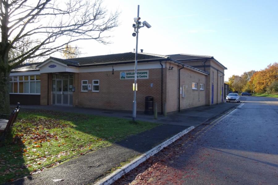
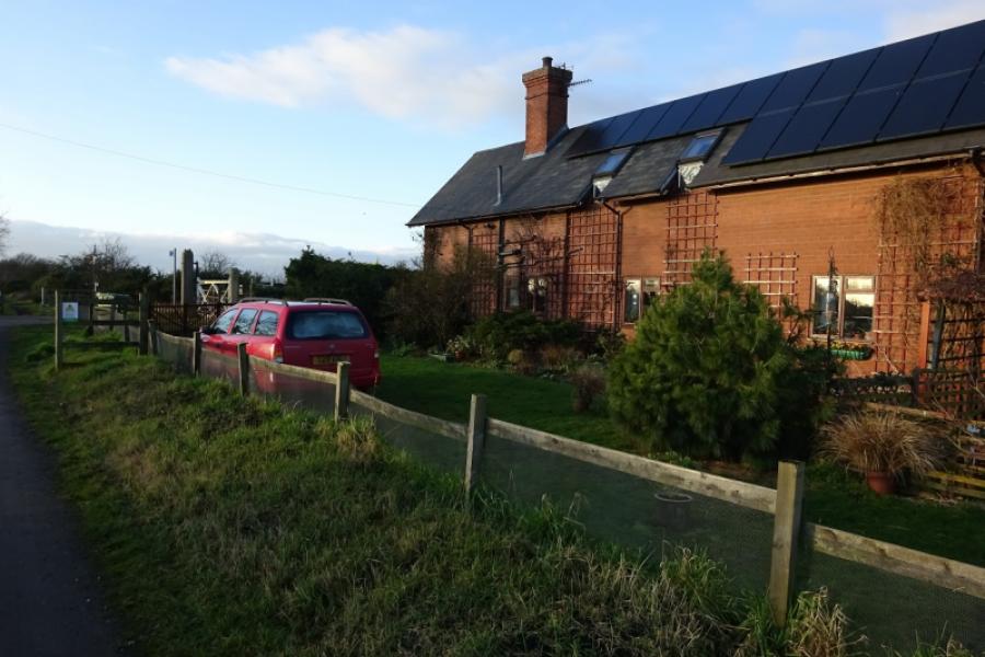
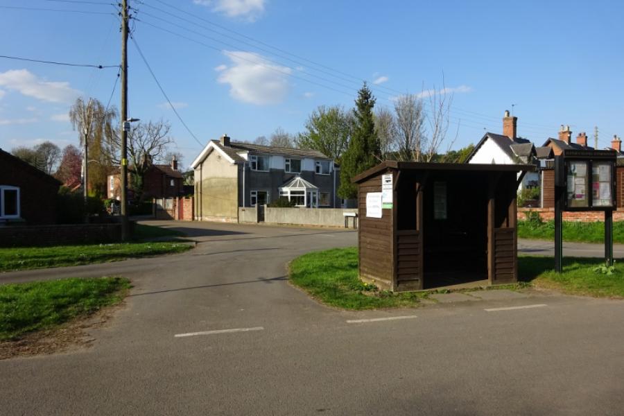
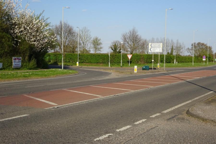
Skellingthorpe community centre where there is usually ample free parking. This is most easily reached from the Skellingthorpe roundabout on the A46 Lincoln bypass. Take the road into Skellingthorpe and the car park is roughly where the cycle track from Lincoln crosses the road.
Distance/Time
32 km/20 miles About 2 hours
Introduction
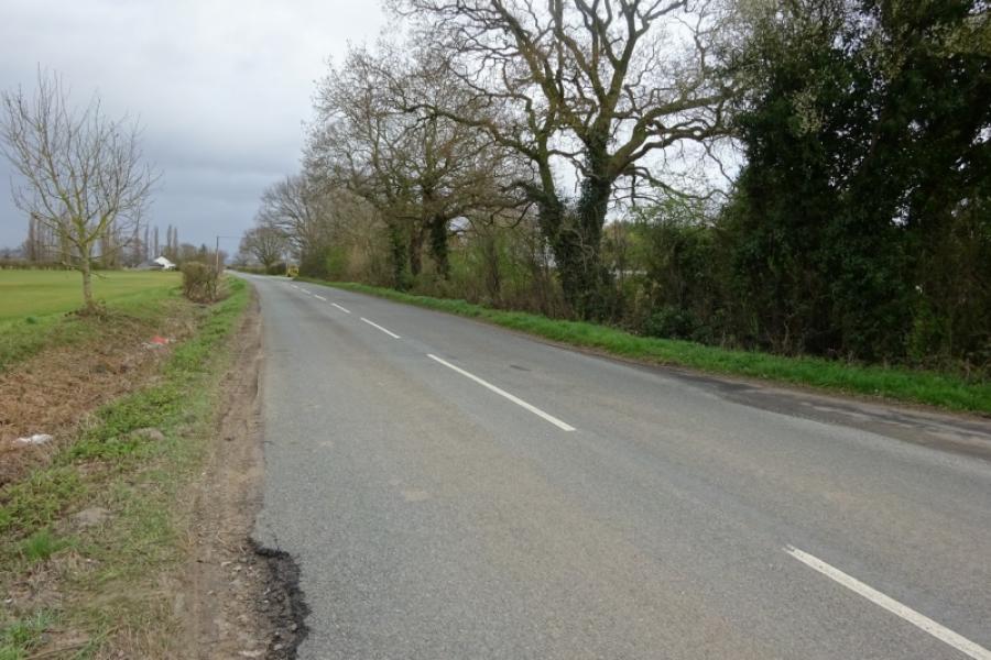
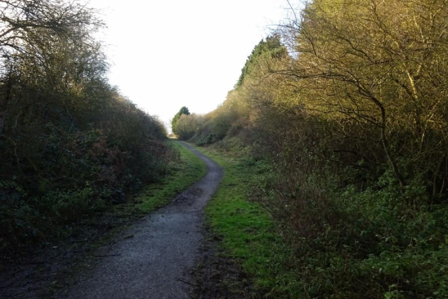
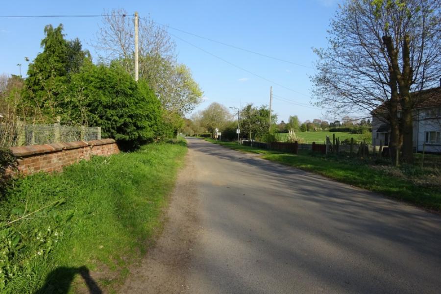
This is a mainly pleasant cycle much of which is on a sustrans track or minor roads. From Skellingthorpe to the Harby junction, it is a good tarmac track but less good from Harby to Clifton on Trent and it is more like a path in places. Unfortunately, although many road bridges cross the sustrans track, it is not usually easy to join these roads unless you like cycling through mud or brambles! The exit from the sustrans track to the road between North and South Clifton is more of a path than a track and can be muddy. The optional short detour from North Clifton village to the River Trent is on a track which can be muddy. The A1133 from near North Clifton to Newton-on-Trent can be busy as can the A156 and A57 from Fenton to Saxilby. Kettlethorpe is quite a historical hamlet and is worth the short detour.
Route
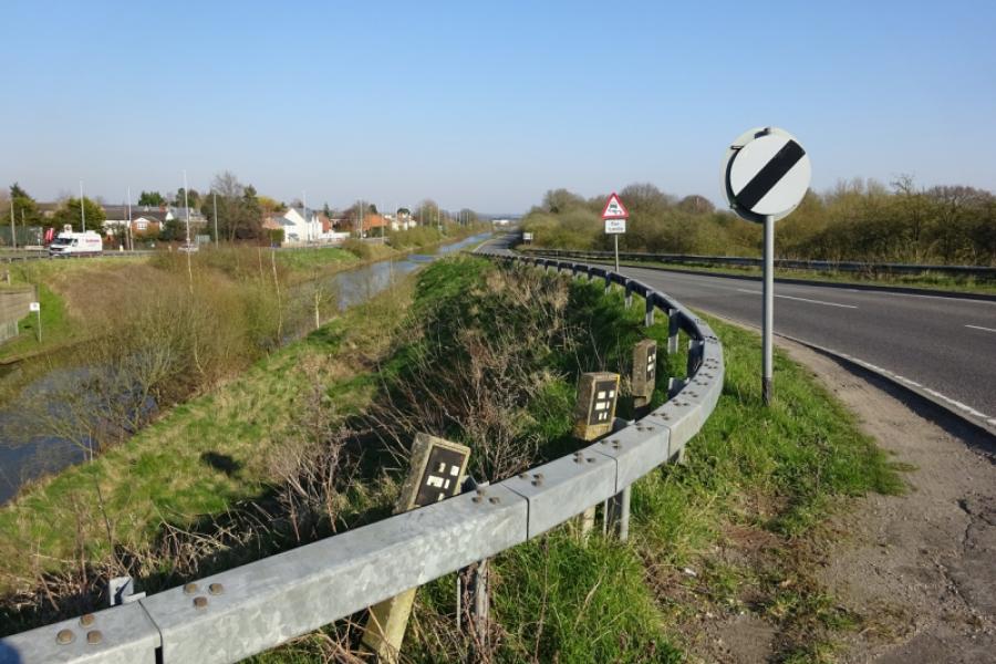
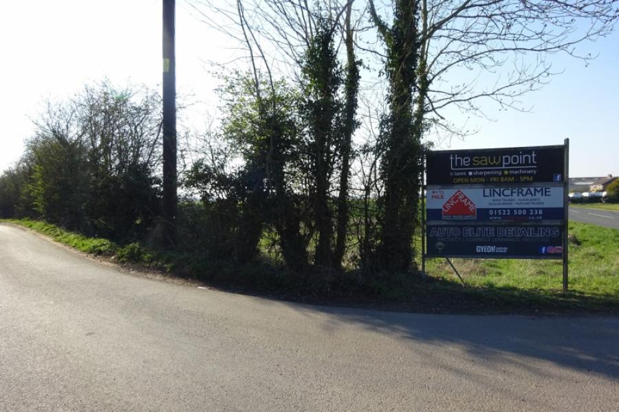
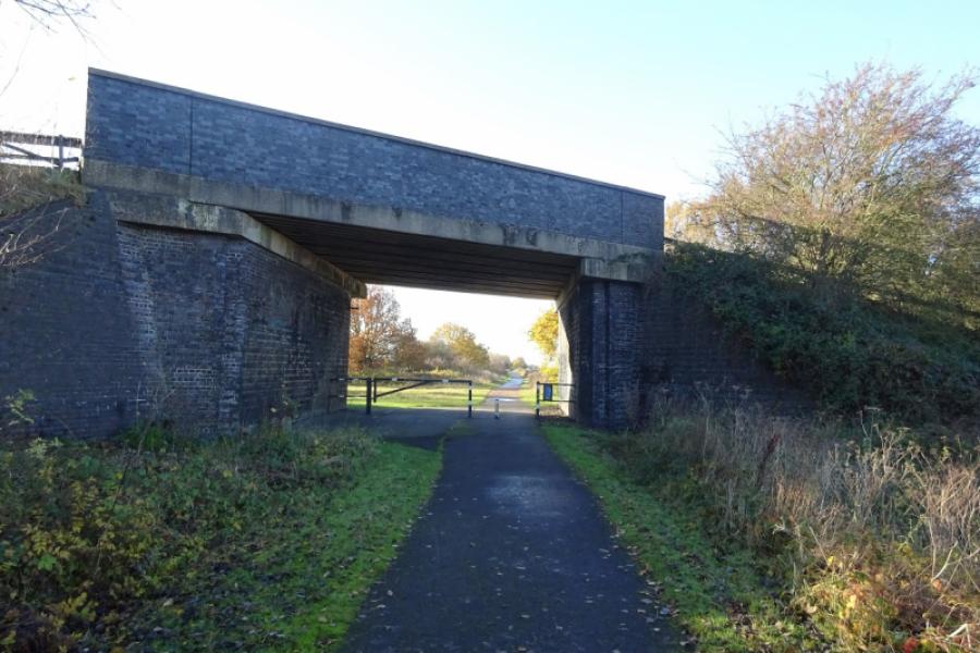
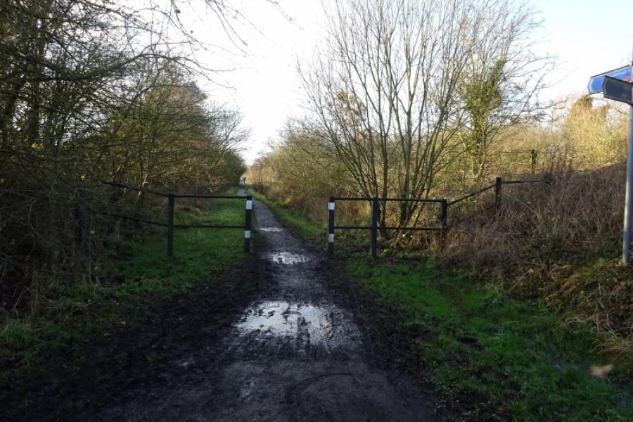
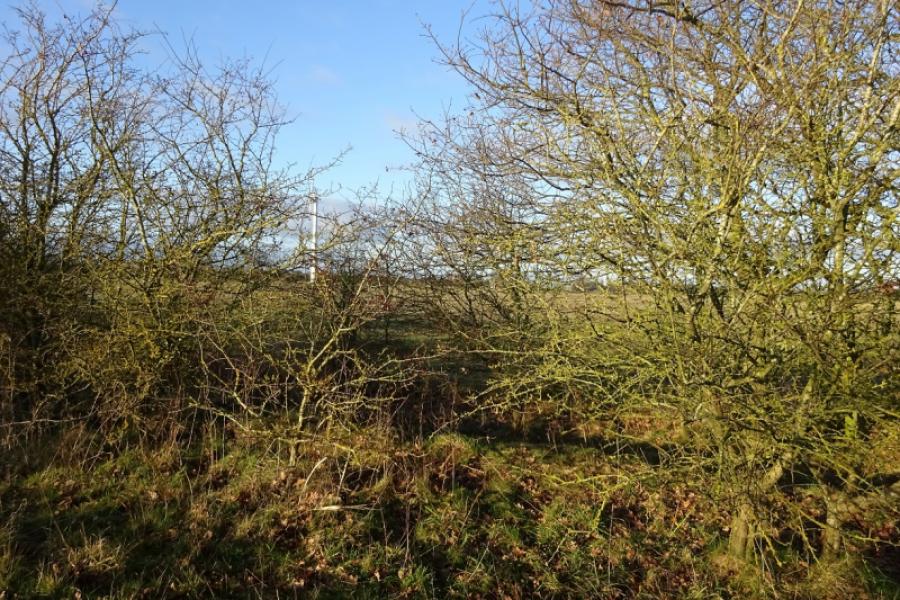
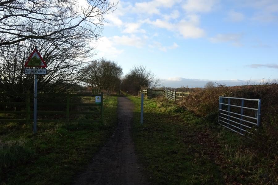
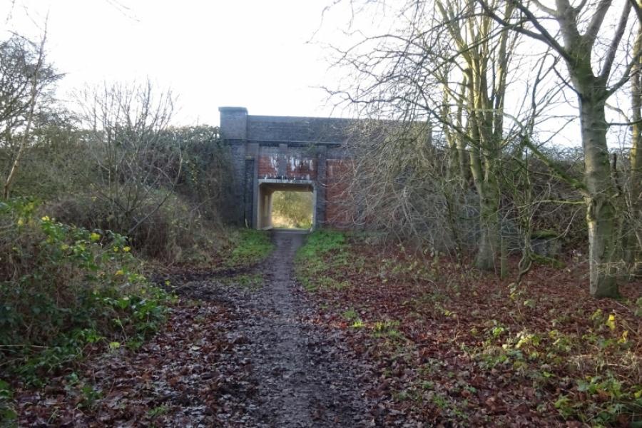
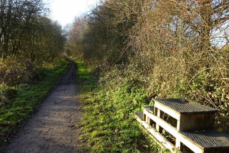
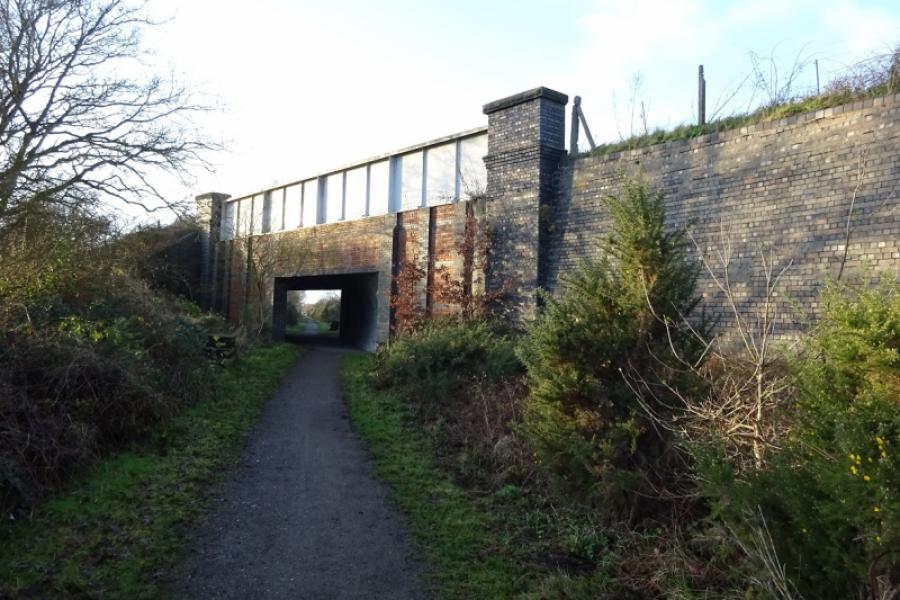
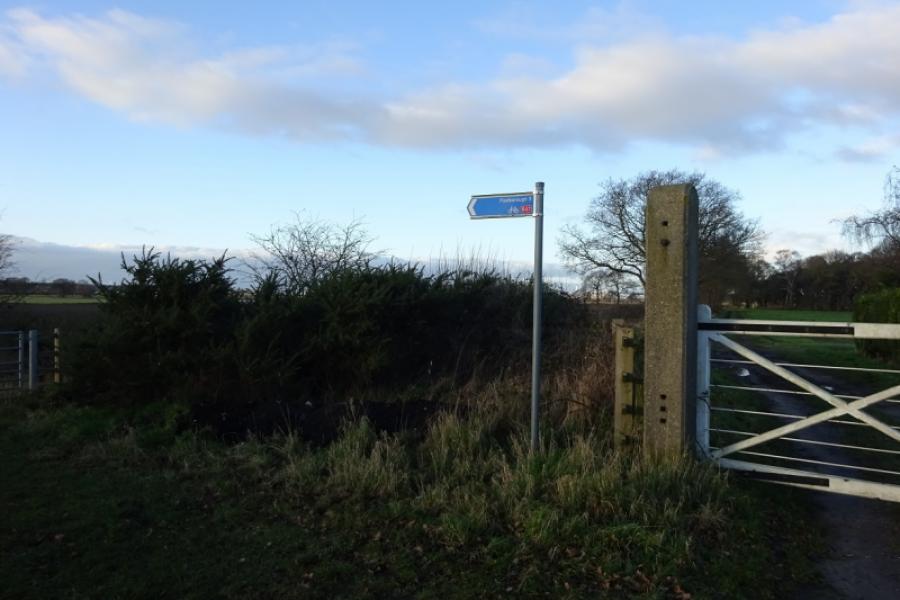
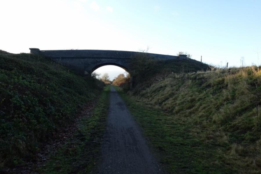
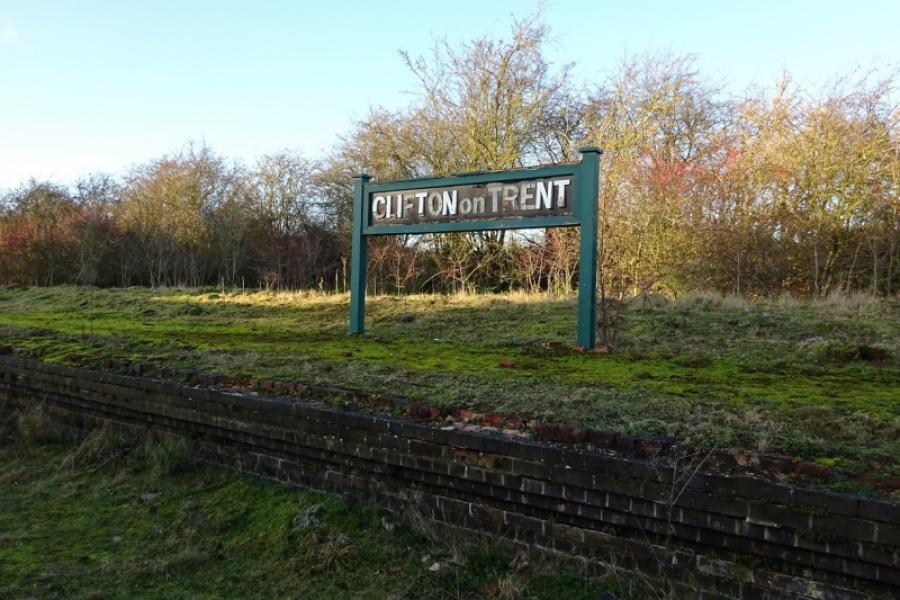
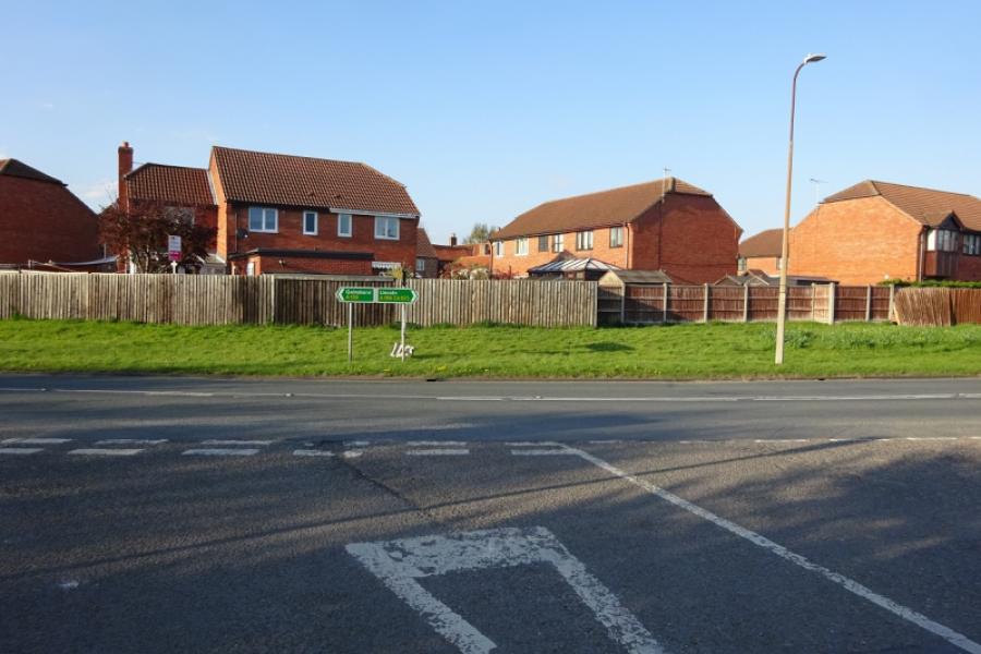
(1) Follow the cycle track from behind the community centre in the direction of Harby. Soon leave Skellingthorpe behind. After just over 3 km, go under the Doddington Road bridge. Continue for about another 1.5 km to go under the Harby Road bridge. Continue, ignoring the sharp left tiun for Harby. Almost immediately, the track deteriorates and can be muddy in places. Continue ahead, passing some turbines on the right then crossing Wigsley Drain before passing under the Wigsley Road bridge then the South Clifton Road bridge soon after. Soon after, pass the only house next to the track which still has its old level crossing. Continue and go under another bridge, near Moor Farm, then another (on no road) before reaching the remains of Clifton on Trent station. One platform and a station sign remains but the former station buildings are now private and fenced off. Just after the station is the A1133 road bridge, part of the road from Newton on Trent to Collingham and Newark. Continue along the track for a short distance to reach an obvious sign. Leave the sustrans track and take the right turn which continues below the sustrans track. It is more of a path than a track and can be muddy in places but soon delivers one onto the minor road between North and South Clifton.
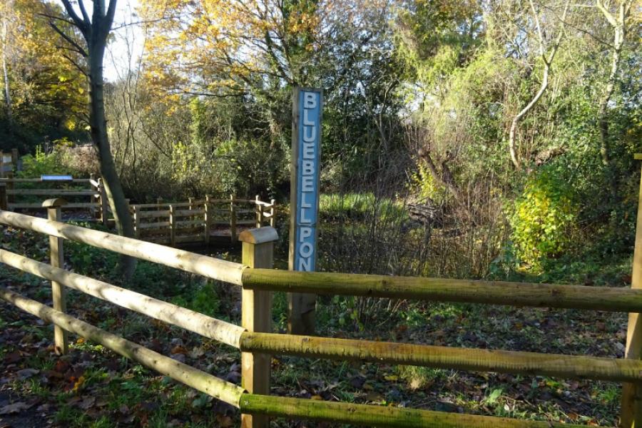
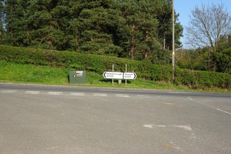
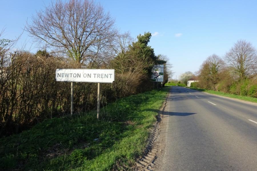
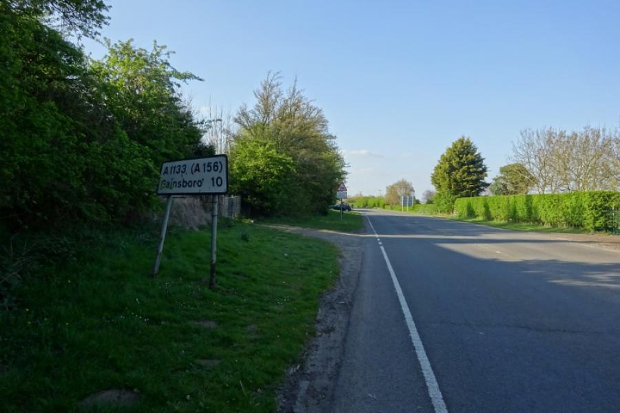
(2) Turn right and follow the road into North Clifton to reach a road triangle. If you wish to take the optional detour to the River Trent take the left fork and follow it through the village. There is a sign for the River Trent. The route goes down the side of what seems to be a large lawn and becomes a rough track that soon goes over a hump backed bridge. The track can be muddy but soon leads to the River Trent and gives good views of the Trent Viaduct to the south. Retrace back to the triangle and follow the sign for Gainsborough which soon leads to the A1133 road from Newark to Gainsborough. Turn left and and continue to reach the A57 at Newton on Trent. Go across on a slightly staggered junction to continue on the A1133 towards Gainsborough and Laughterton.
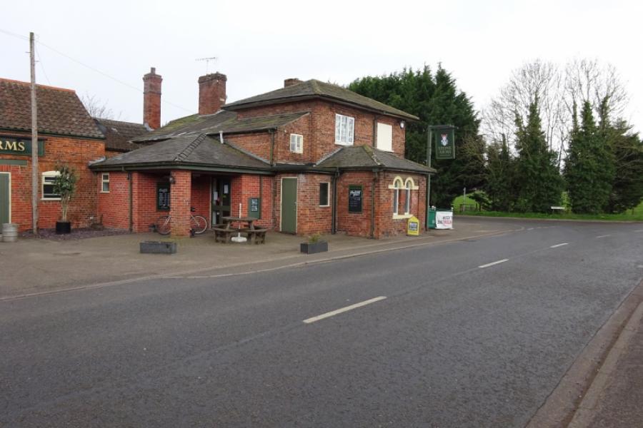
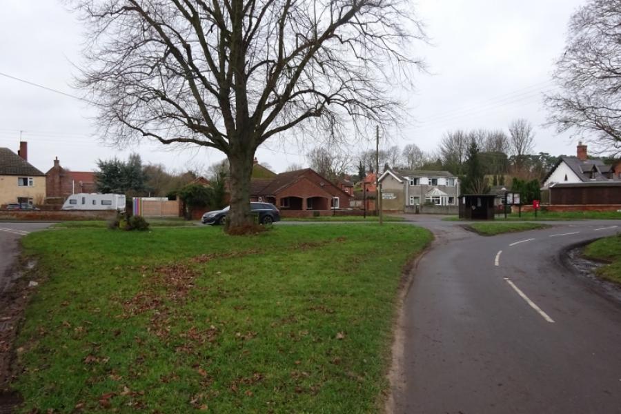
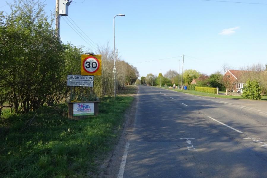
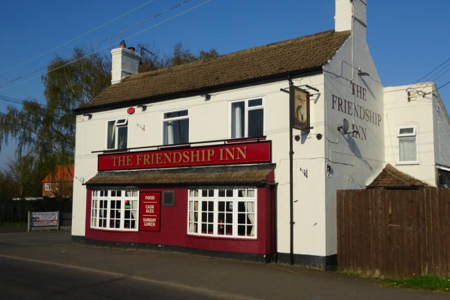
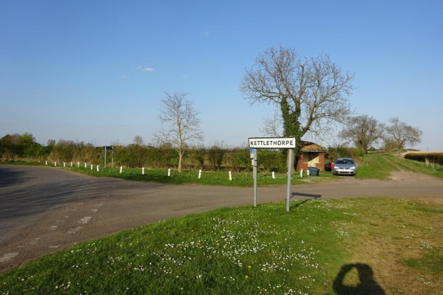
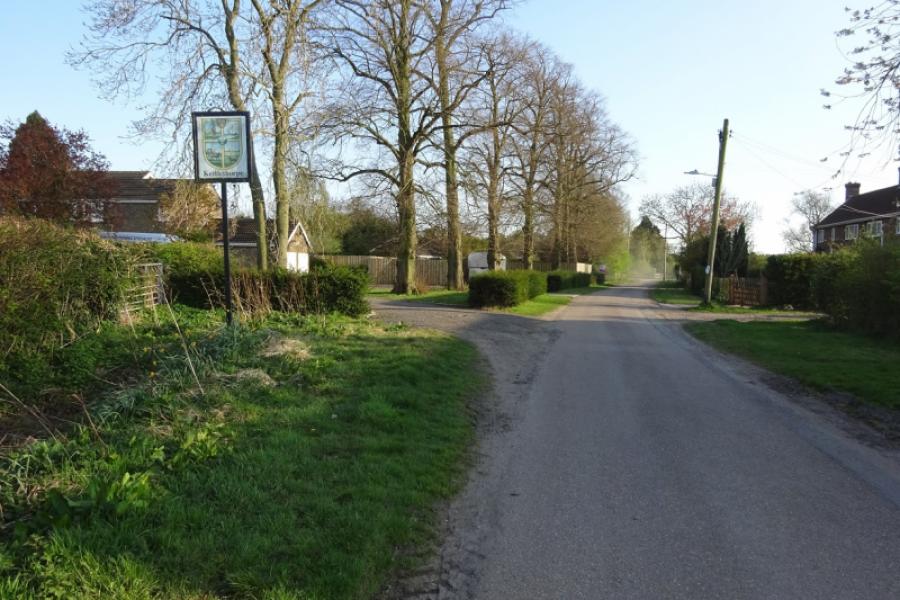
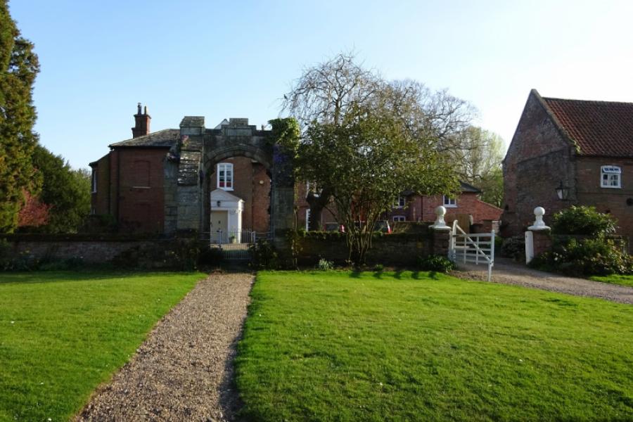
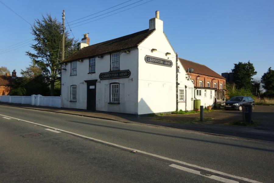
(3) Reach Laughterton where the road winds through the village. Pass the Friendship Inn to reach a triangle. Turn right for Kettlethorpe and Fenton. Reach a bend where the road goes right for Kettlethorpe, a hamlet of old buildings. Once Kettlethorpe has been viewd, retrace back tot he road from Laughterton and continue to Fenton, straight on from Kettlethorpe. Reach the A156 in Fenton. Turn right and pass the Carpenters Arms, now seemingly closed. Follow the road out of Fenton. Reach a long straight after which there is a left hand bend followed by a longer straight which leads to the traffic lights at Drinsey Nook where the A57 and A156 merge. Continue ahead, towards Lincoln, and soon pass the turning for Doddington. Continue to reach the outskirts of Saxilby.
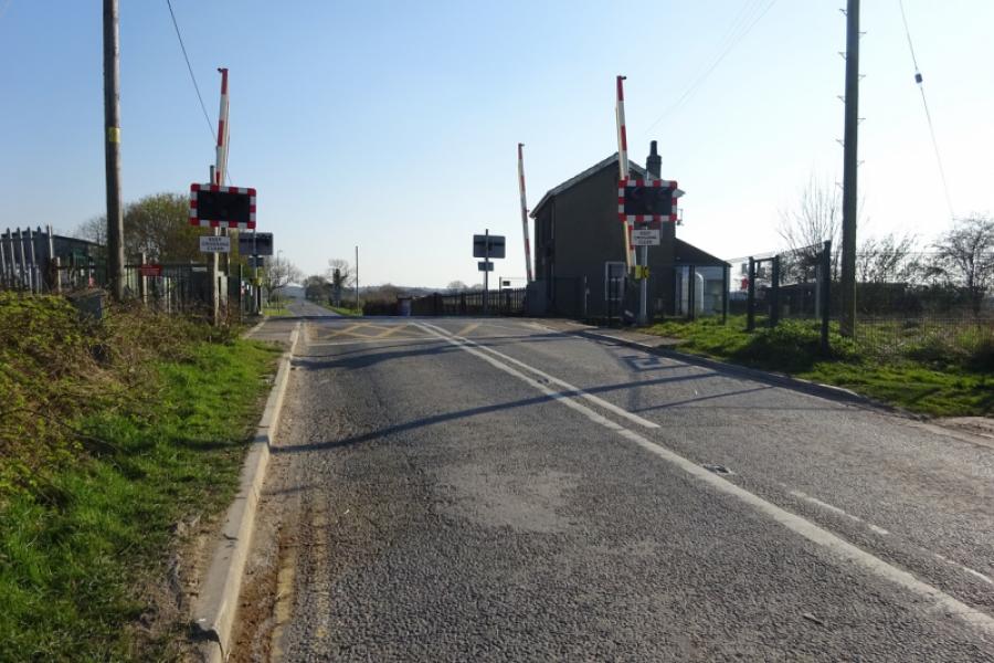
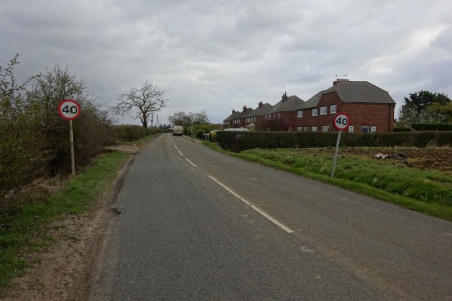
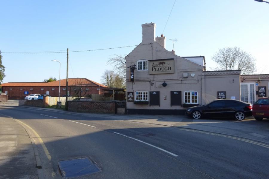
(4) Reach the obvious bridge just after the right turn for Broadholme. Take the right turn, for Skellingthorpe, on the top of the bridge. Follow the back road towards Skellingthorpe, initially alongside the Foss Dyke then over a level crossing. Continue past a small industrial estate then around a left handed bend to reach the road, on the right, into the Old Wood. After a couple of bends, the road straightens out and continues for some distance until it ends at a five way junction of rough roads and bridleways. Turn left onto the rough road and follow it to a T junction where there is a pillar box. Turn left and go past a cemetery to reach the back road left earlier. Turn right and pass the Plough Inn and Co-Op to reach a triangular junction. Turn left and follow the road back to the community centre. If you do not wish to cycle through the Old Wood then stay on the back road which will lead you to the Co-Op.
Notes
(a) This cycle ride took place in April, 2020.
Photos - Hover over photo for caption. Click on to enlarge. Click on again to reduce.


![]()
![]()


![]()
![]()


.JPG)