Get Lost Mountaineering
You are here: England » Lincolnshire » Lincoln Area Cycle Rides » From Skellingthorpe initially going East towards Lincoln & Other routes
Skellingthorpe Broxholme Bransby Torksey Fenton Kettlethorpe Thorney
Skellingthorpe Broxholme Bransby Torksey Fenton Kettlethorpe Thorney
Start/Finish
Skellingthorpe community centre where there is usually ample free parking. This is most easily reached from the Skellingthorpe roundabout on the A46 Lincoln bypass. Take the road into Skellingthorpe and the car park is roughly where the cycle track from Lincoln crosses the road.
Distance/Time
39 km/24 miles About 2 – 3 hours
Introduction
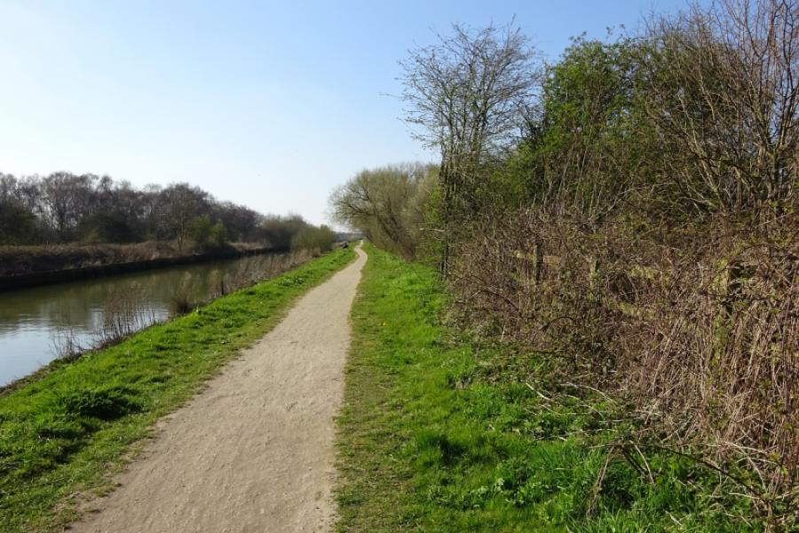
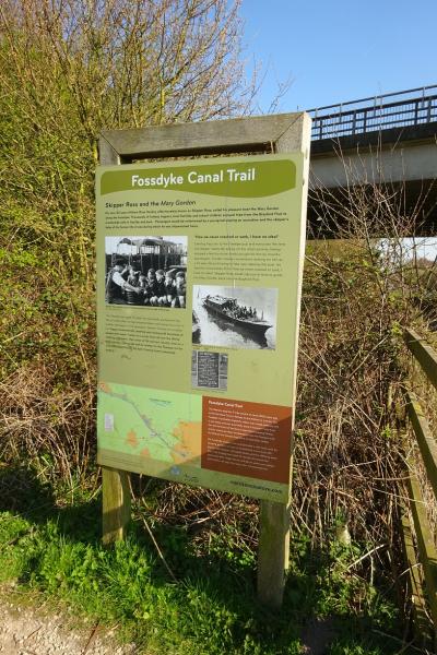
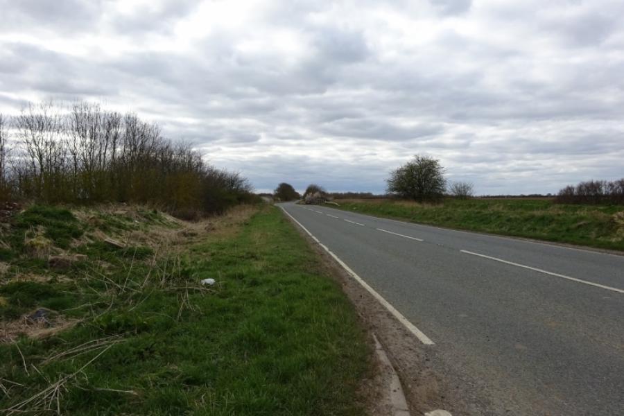
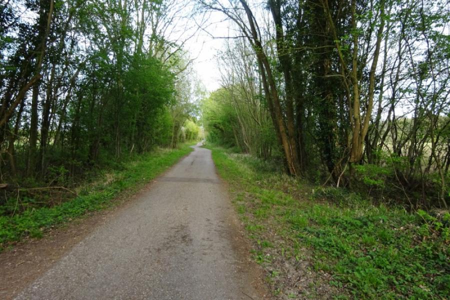
This is a pleasant cycle which mainly uses cycle tracks and quiet roads. The River Till is crossed 3 times and the route goes through Saxilby village. Some of the route is alongside the Foss Dyke which is a bit rough as a cycle track but passable. Tillbridge Lane can be busy with many cars travelling at high speeds.
Route
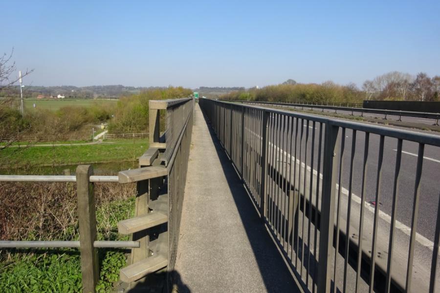
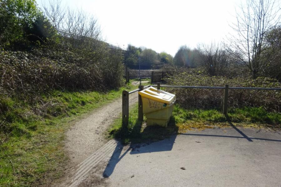
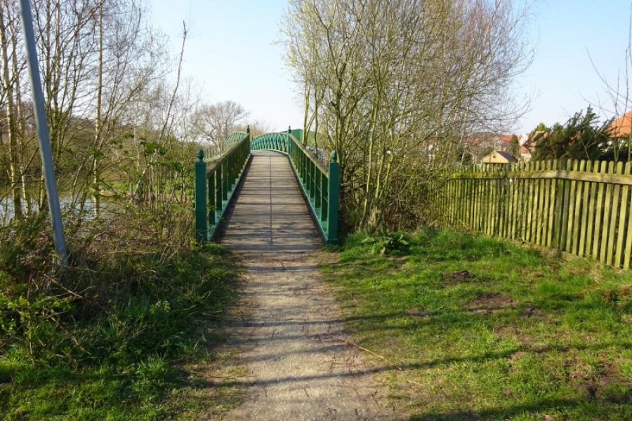
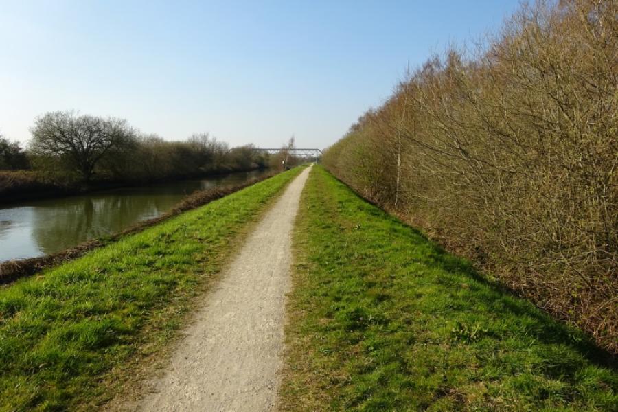
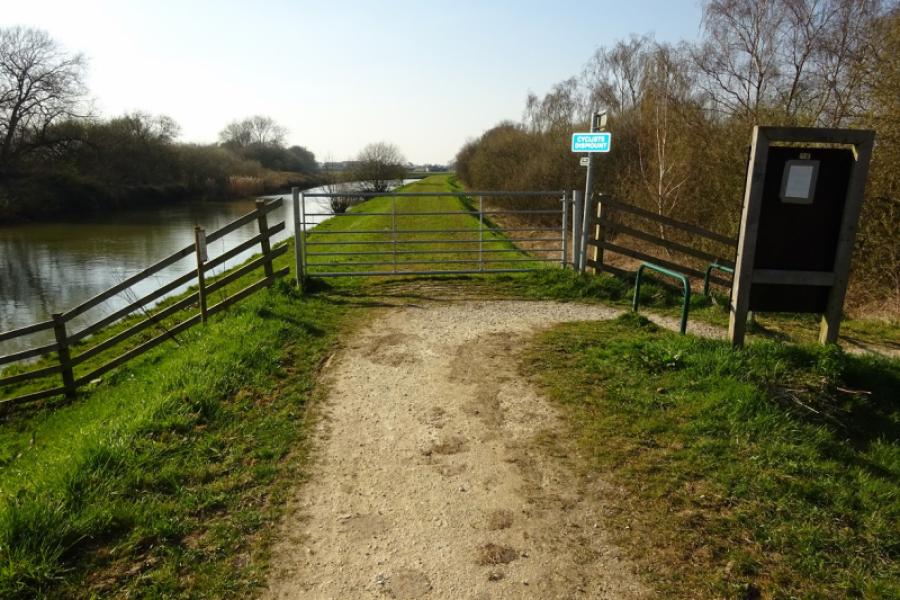
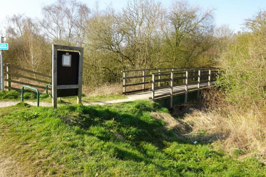
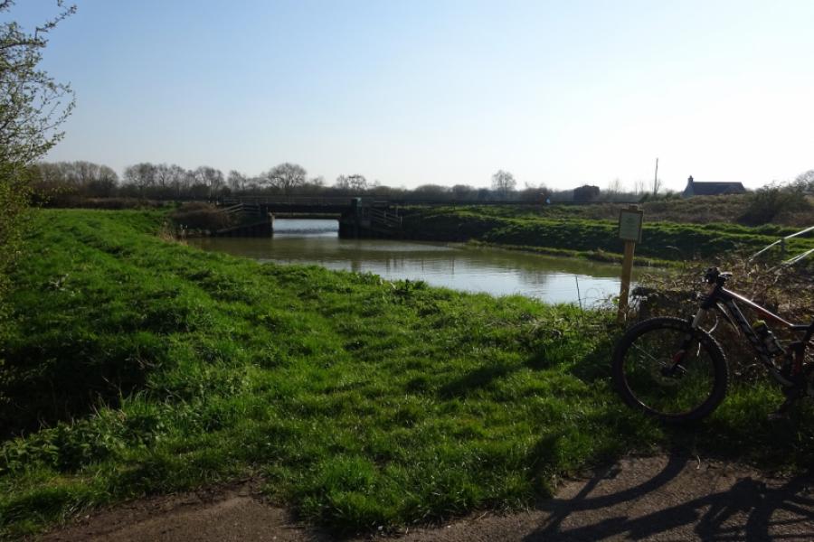
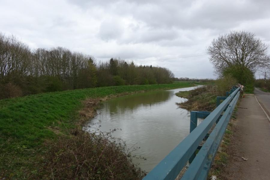
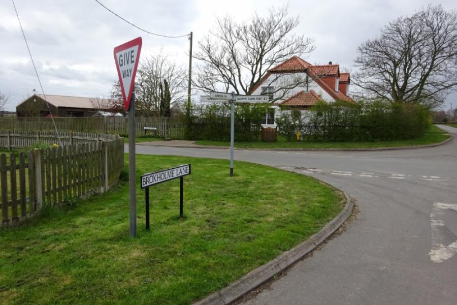
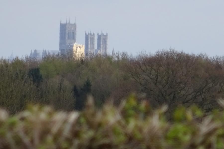
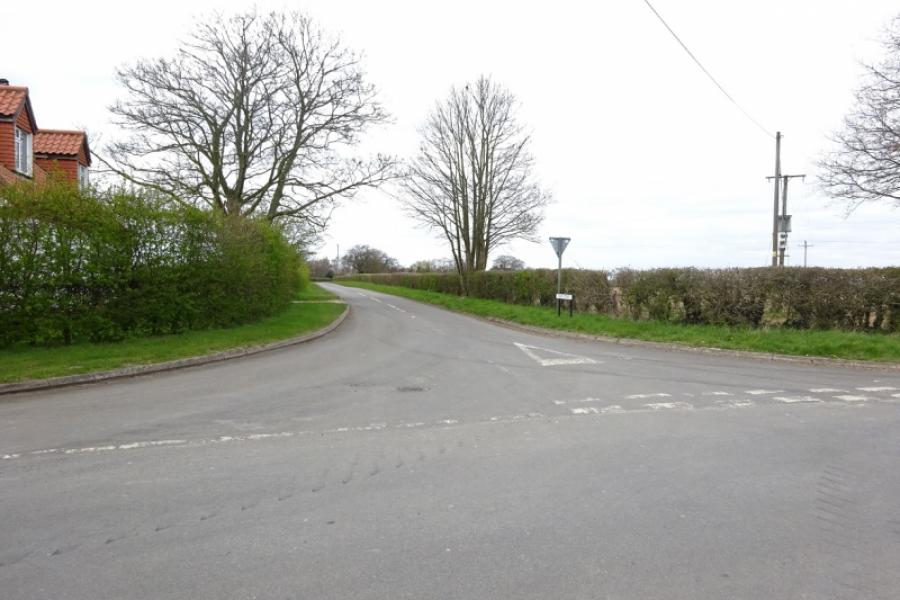
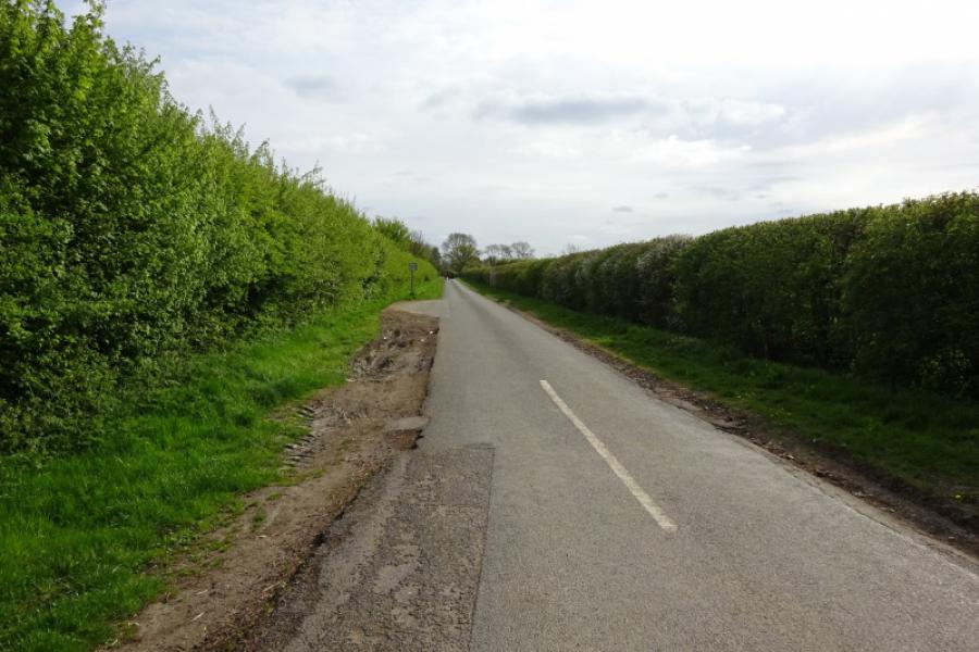
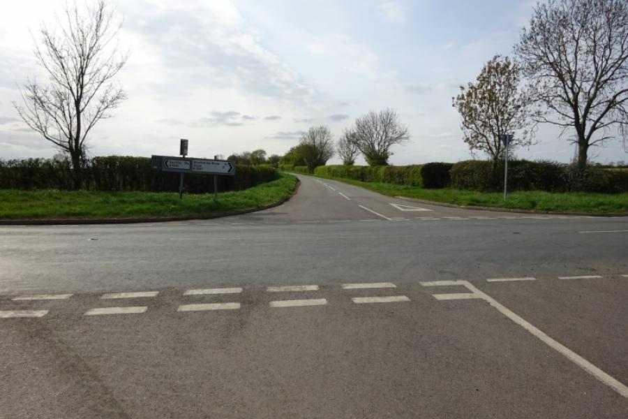
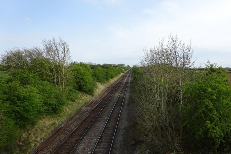
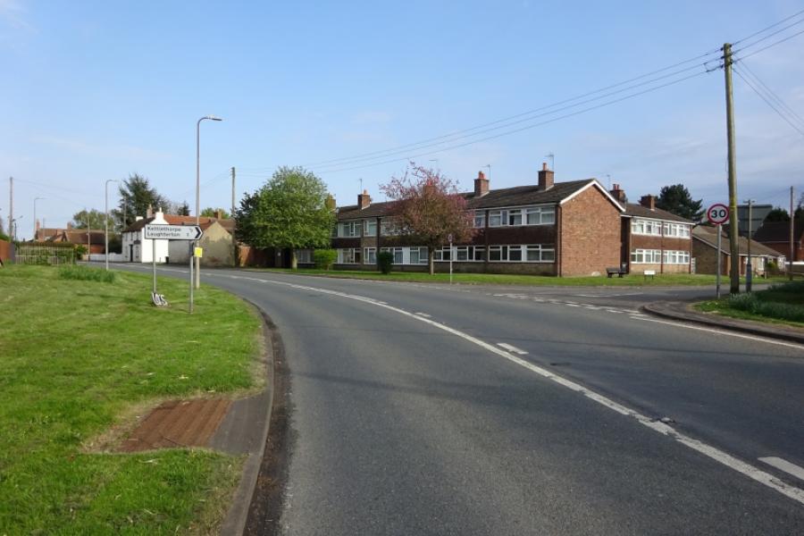
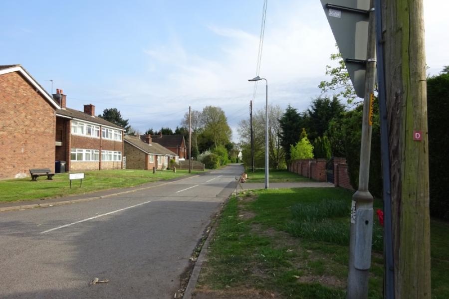
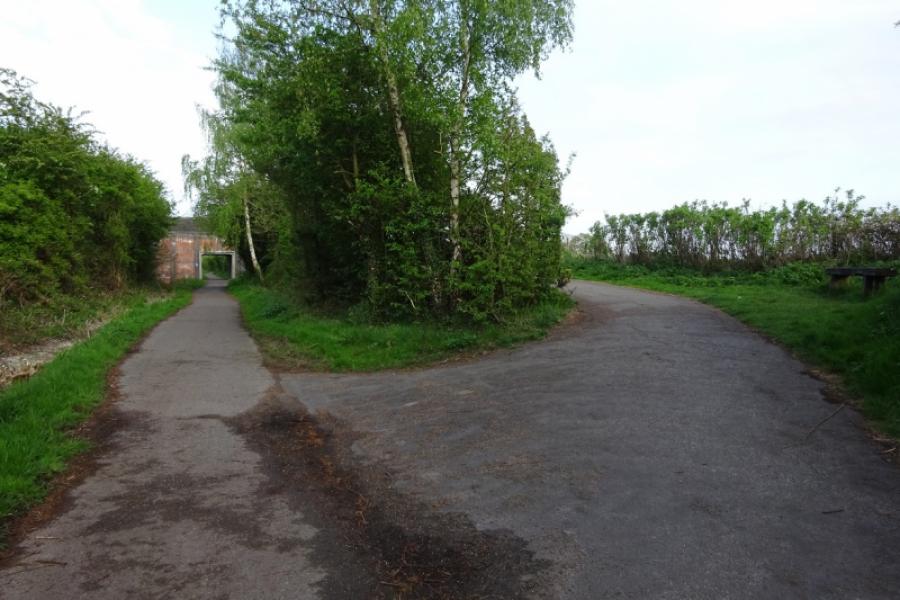
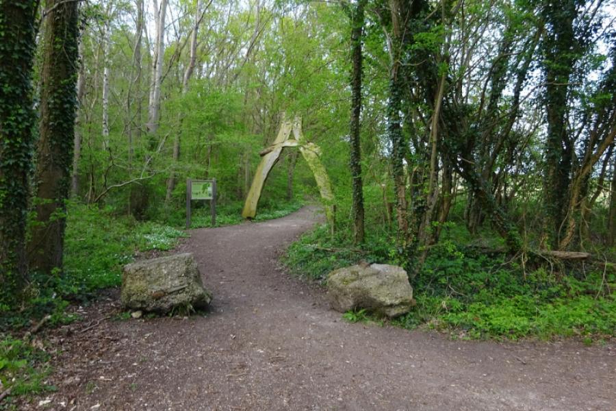
(1) From the community centre car park, cross the road and follow the sustrans track towards Lincoln. Reach a junction almost below the A46 Lincoln bypass and continue ahead on a narrower track, in the trees and below the bypass. This leads up to the side of the bypass and crosses by a self contained but narrow bridge so you are safe from the traffic. Cross the Foss Dyke and railway then descend the other side which has a tight hairpin bend early in the descent. At the second hairpin, go straight on and join the cycle track alongside the Foss Dyke. Turn right, towards Saxilby, with the bypass bridge now behind you. Continue on the rough cycle track. Pass Burton Waters (houses and marina) and continue until the track ends and one is directed off to meet the main A57 road opposite a used car garage. Cross over and follow the old road, left, towards Saxilby. This crosses the River Till just before it joins the Foss Dyke. The cycle path then follows the side of the A57 towards Saxilby before ending. Soon reach the sign for Broxholme and turn right; this is at the hamlet of Odder.
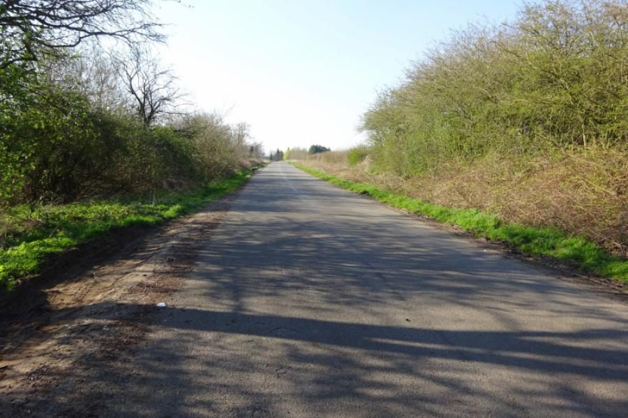
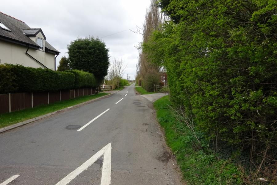
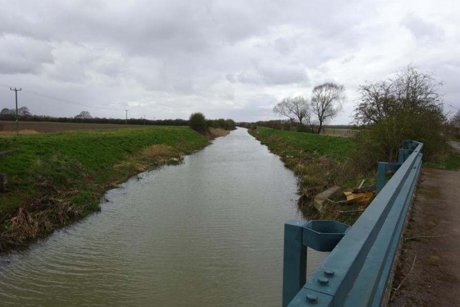
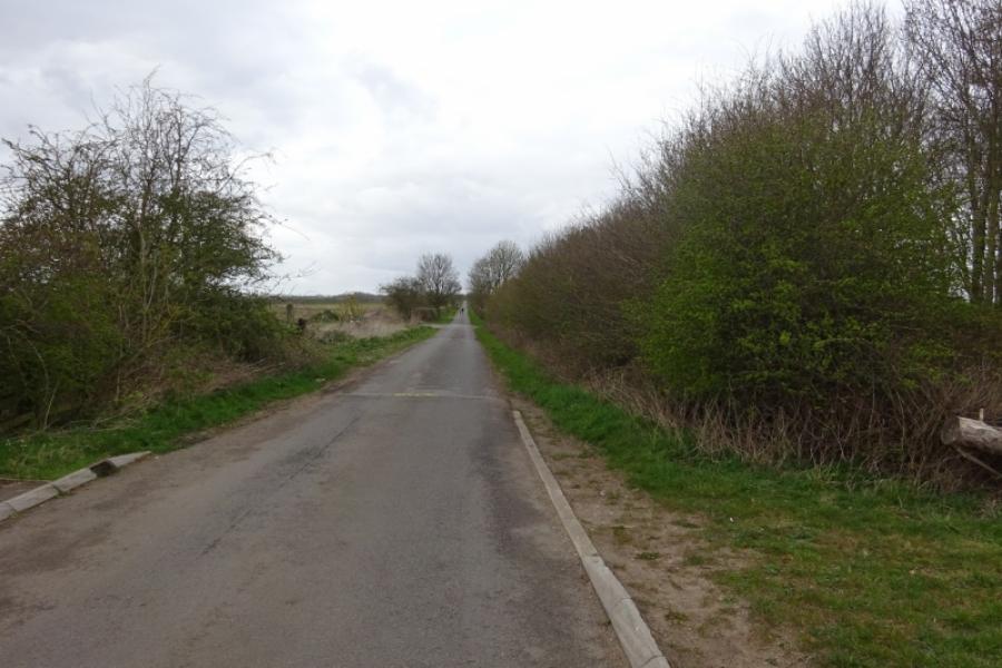
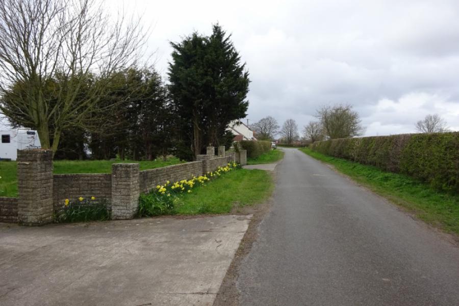
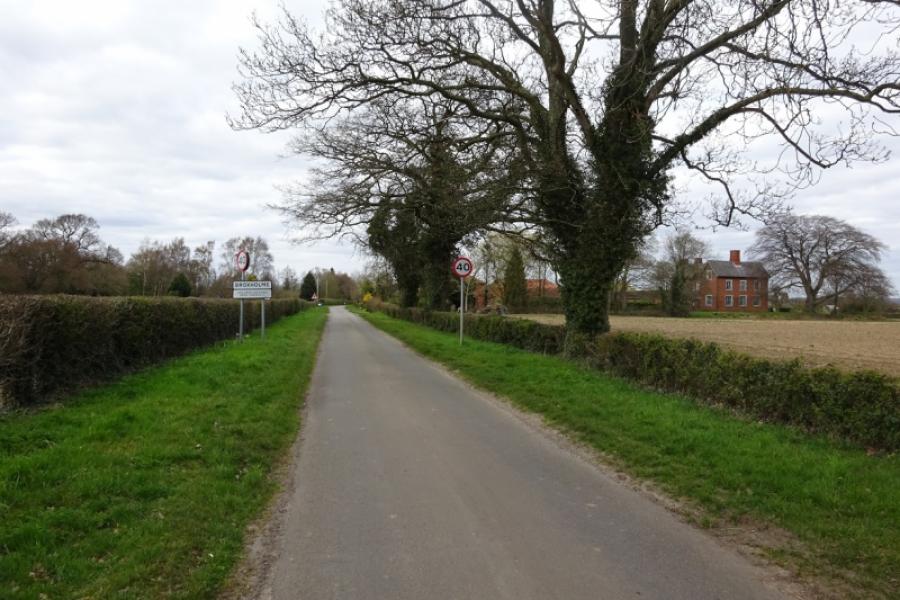
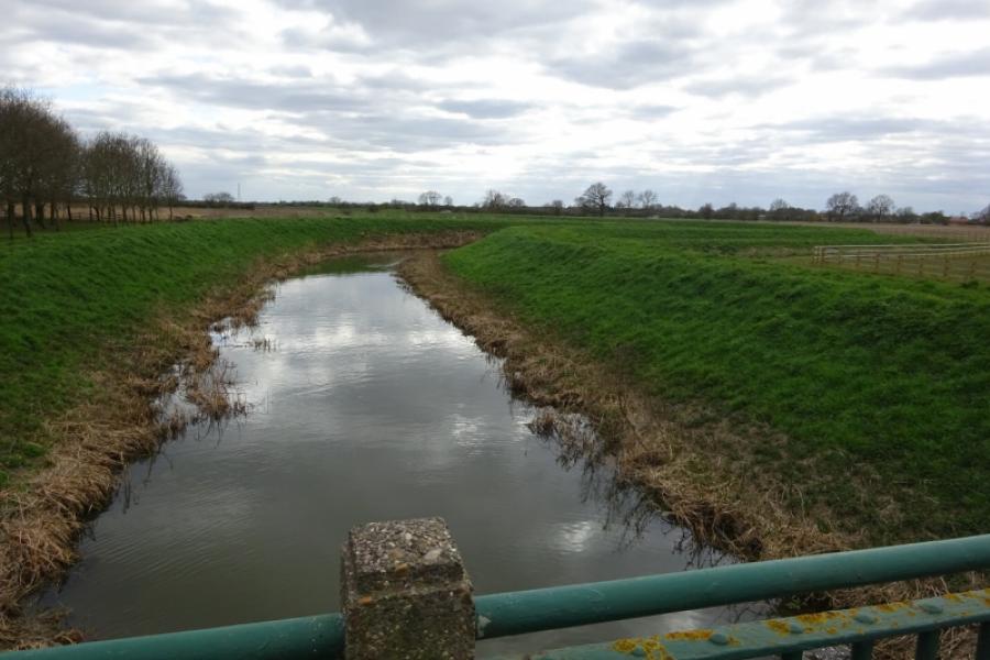
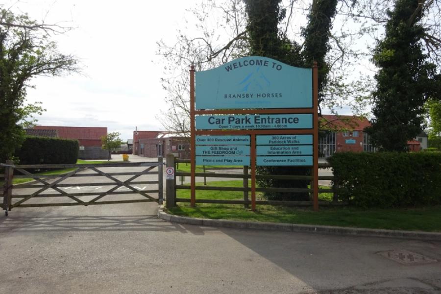
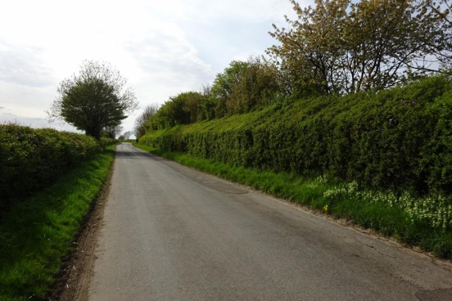
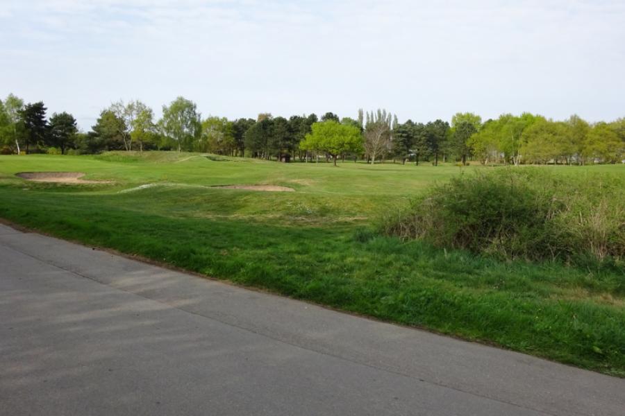
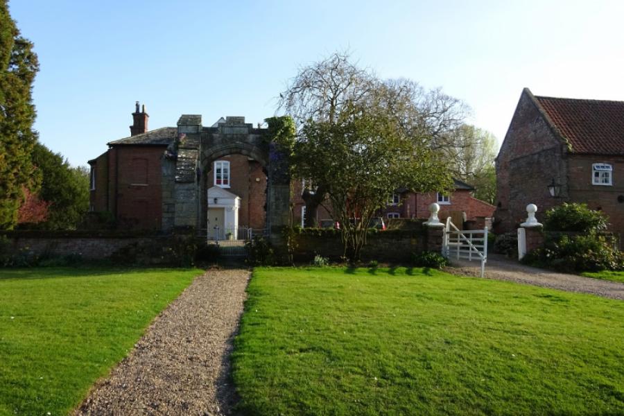
(2) Follow the long straight road towards Broxholme, crossing the River Till. Reach Broxholme crossroads then continue across to soon reach the hamlet of Broxholme. Continue, around a few bends, to reach the often busy Tillbridge Lane. Turn left, towards Sturton. Almost immediately, cross Cricket Bridge. The Ordnance Survey map does name the river but it is a tributary of the River Till which it joins about 1.5 km downstream. Continue and pass the buildings at Tillbridge Farm then cross the Till Bridge soon after. Reach the left turn for Bransby and follow the road into the small village of Bransby passing the Bransby Home for Horses. Continue, after the village, and cross the road between Saxilby and Sturton, taking the road for Torksey. Follow this road, passing two right turns (they merge then rejoin Tillbridge Lane) then cross the bridge over the railway. Continue, passing the left turn for Saxilby the through the golf club before reaching Torksey and the A156 road between Lincoln and Gainsborough.
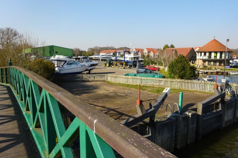
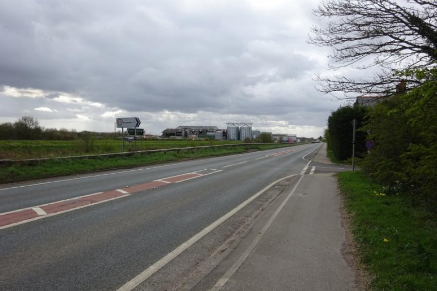
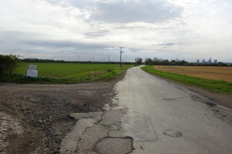
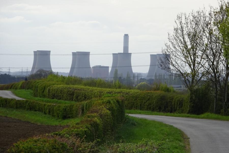
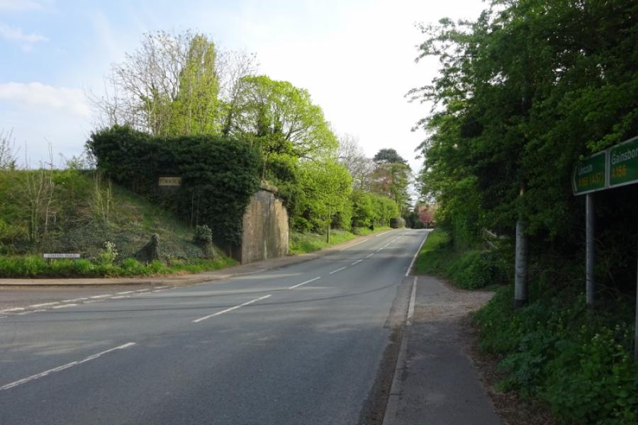
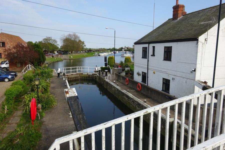
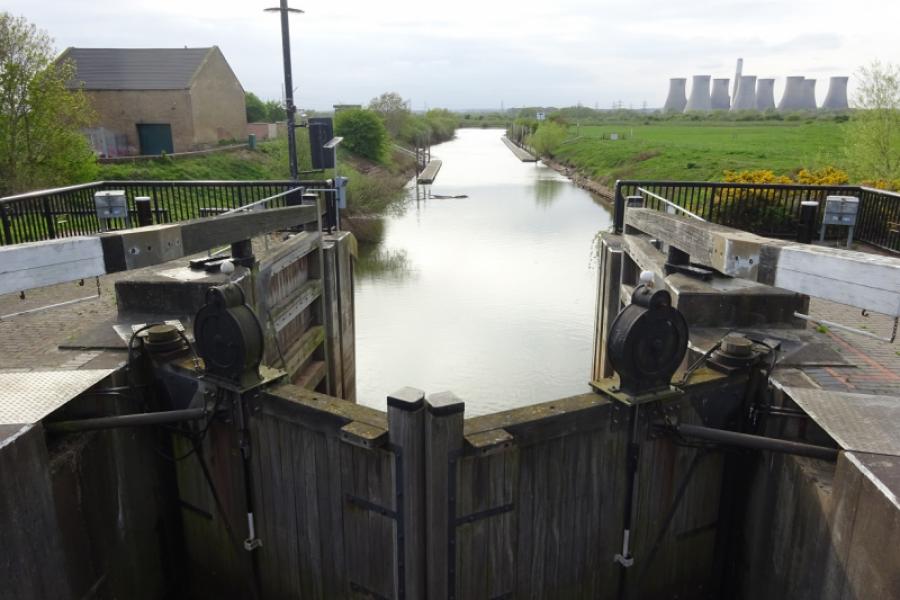
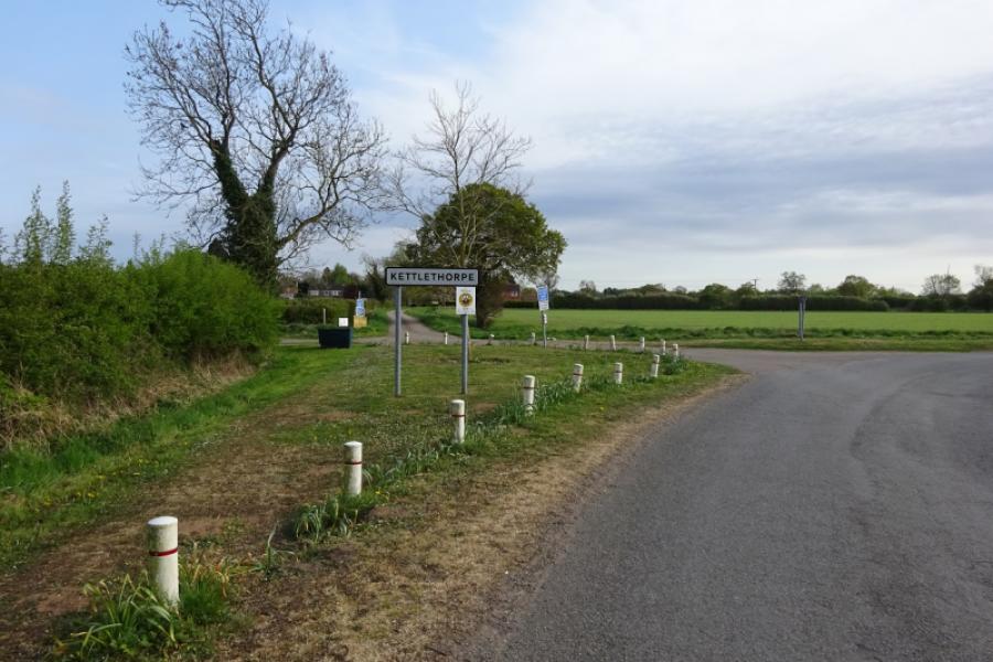
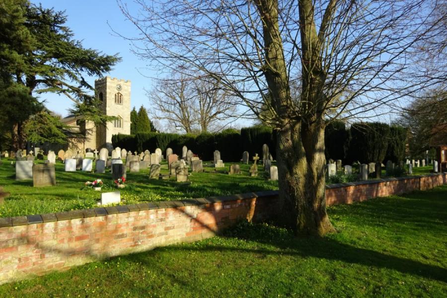
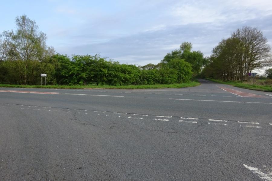
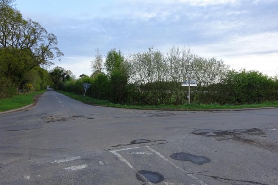
(3) Turn left and follow the often busy road through Torksey Lock, where the Foss Dyke canal joins the River Trent, and continue to Fenton. Take the right turn for Kettlethorpe and Laughterton. Follow the road to reach a left turn into the hamlet of Kettlethorpe. Note a wide track going right where the road goes left; you will soon be returning to take this track. Continue to the end of the road, passing the church then return and take the track going off the bend passed earlier. Follow the track to a corner where it goes left then it is a long straight, Westmoor Lane, to reach the A57. The track is a bit bumpy in places and would be muddy after rain but it eventually reaches the A57 at a crossroads.
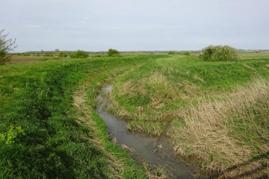
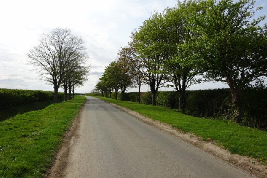
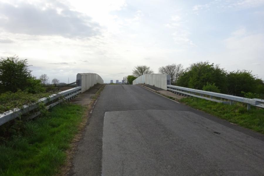
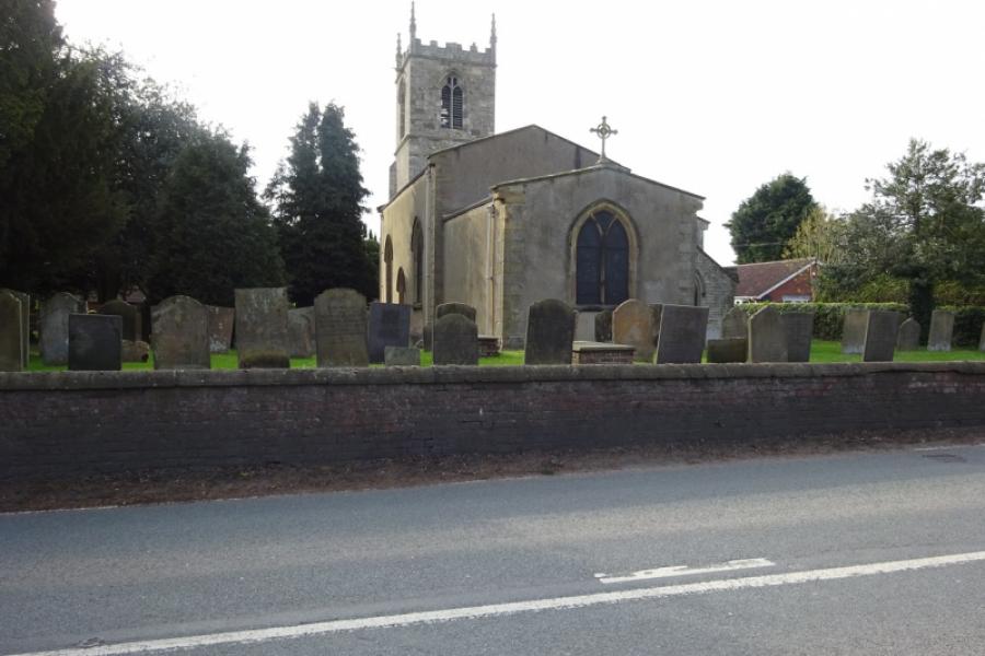
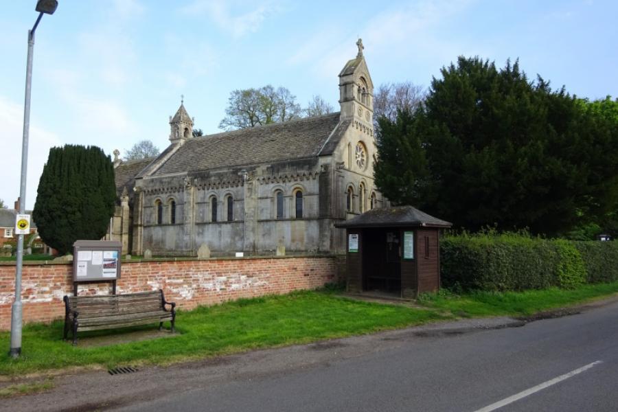
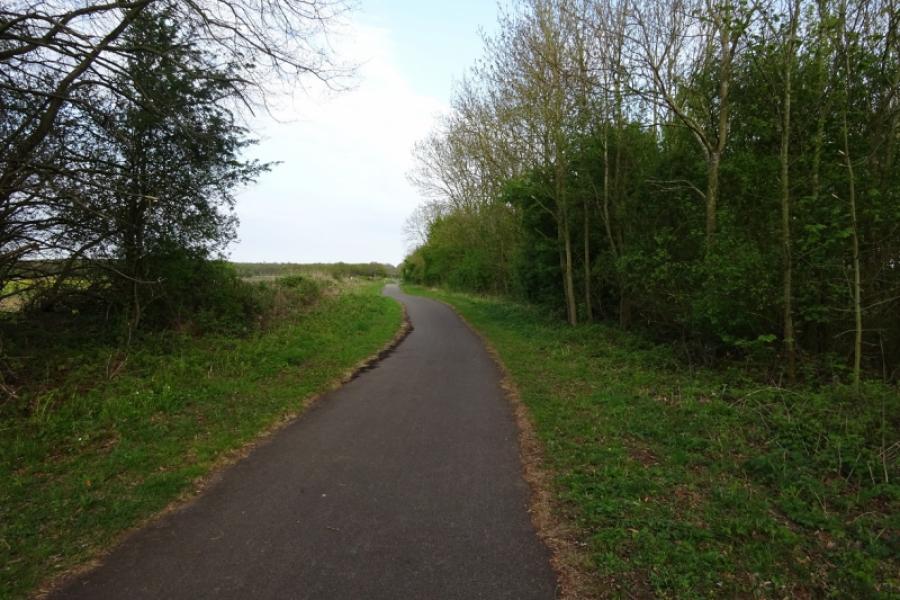
(4) Go straight across, for Thorney, and follow the meandering road through the village of Thorney and its interesting church. Continue after the village, passing a left turn, and reach a crossroads. Go straight across, for Wigsley, and soon get to the foot of the bridge going over the old railway now the sustrans track. At the foot of the bridge is a farm track forking off left which can be muddy in wet weather. Follow the track around a bend to reach a footpath, about 20 m long, which takes you onto the sustrans track. Turn left and follow the track back towards Skellingthorpe Community Centre. The noticeable drain crossed is Ox Pasture Drain before passing the old Harby station, exit for Harby village and going under Harby road bridge. Further on, a marker is passed which is the county boundary between Nottinghamshire and Lincolnshire. Pass under the Doddington road bridge then continue to Skellingthorpe.
Notes
(a) This cycle ride took place in April, 2020.
Photos - Hover over photo for caption. Click on to enlarge. Click on again to reduce.
![]()
![]()
![]()
![]()
![]()


![]()
![]()
![]()
![]()
![]()
![]()
![]()


![]()
