Get Lost Mountaineering
You are here: England » Lincolnshire » Lincoln Area Cycle Rides » From Skellingthorpe initially going East towards Lincoln & Other routes
Skellingthorpe Odder N Carlton Scampton Aisthorpe Brattleby Cammeringham Ingham Coates Stow Sturton Saxilby
Skellingthorpe Odder N Carlton Scampton Aisthorpe Brattleby Cammeringham Ingham Coates Stow Sturton Saxilby
Start/Finish
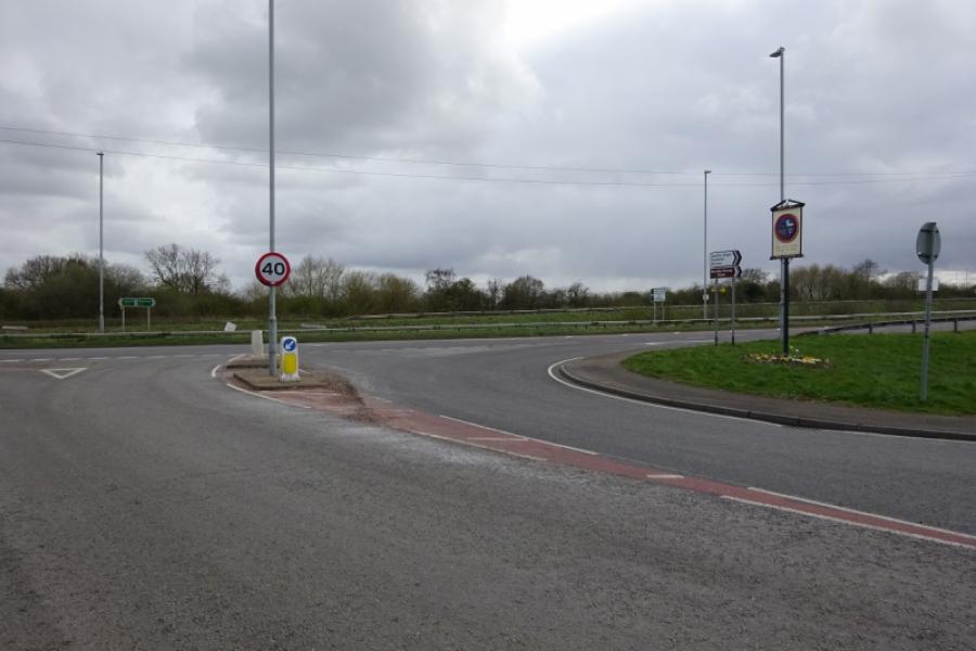
Skellingthorpe community centre where there is usually ample free parking. This is most easily reached from the Skellingthorpe roundabout on the A46 Lincoln bypass. Take the road into Skellingthorpe and the car park is roughly where the cycle track from Lincoln crosses the road.
Distance/Time
38 km/24 miles About 2 – 3 hours (more if you stop to explore)
Introduction
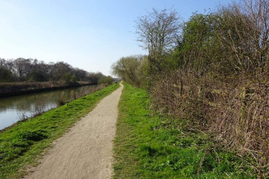
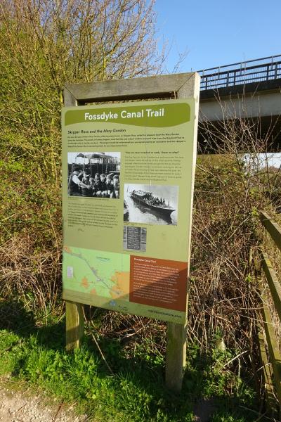
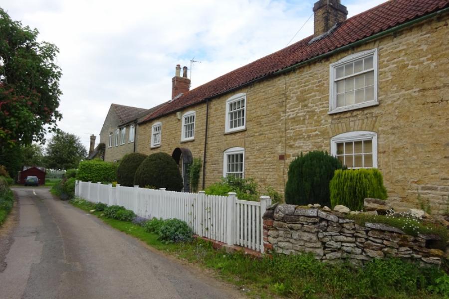
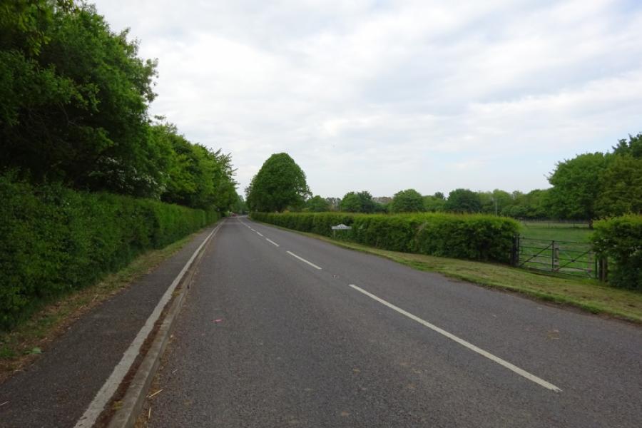
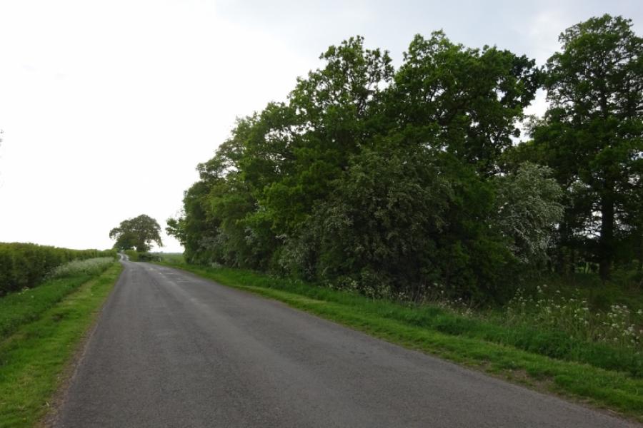
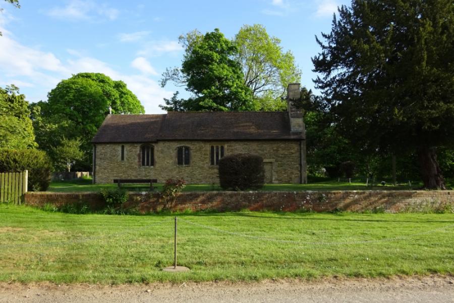
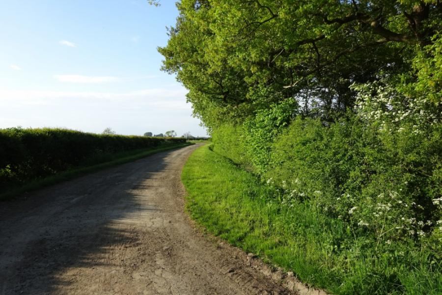
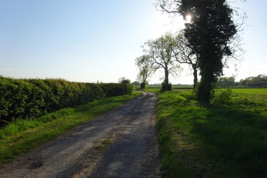
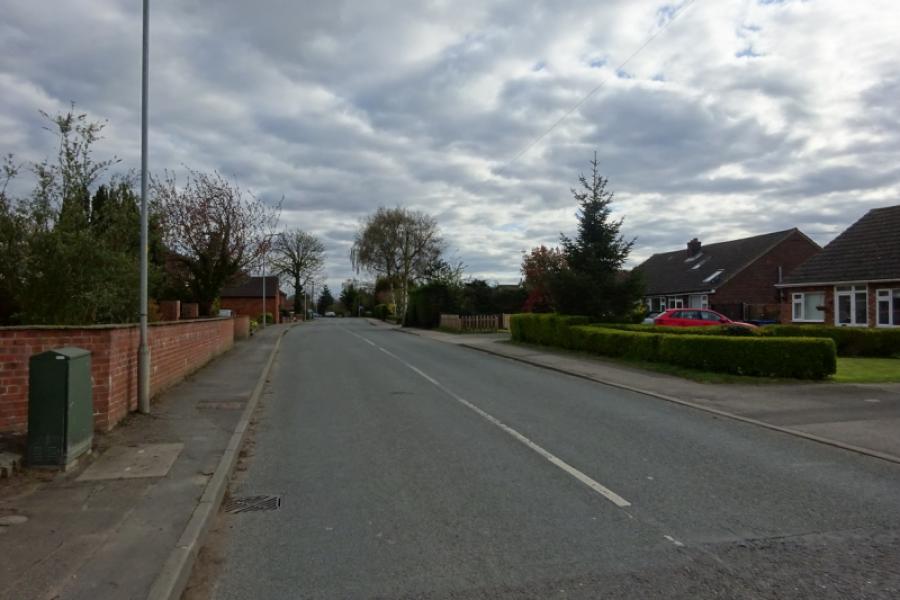
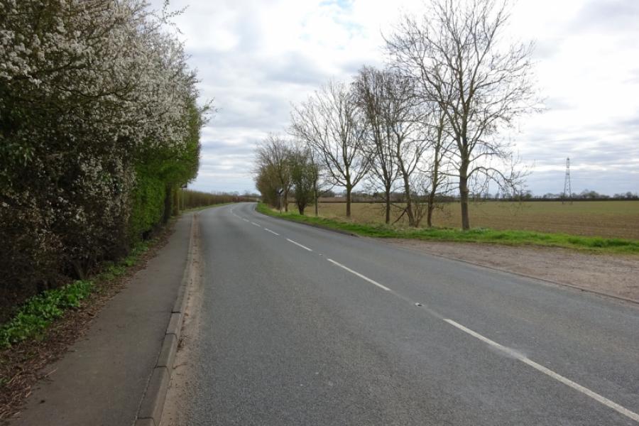
This is a pleasant cycle which uses cycle tracks and quiet roads. Some of the route is alongside the Foss Dyke which is a bit rough as a cycle track but passable. The track from near Odder is mainly an old tarmac road which eventually leads to the road between Saxilby and North Carlton. There is a short footpath/track from North Carlton to Tillbridge Lane which avoids the steep climb onto the Lincoln Edge. It is pleasant cycling through the small picturesque villages of Scampton, Aisthorpe, Brattleby and Cammeringham. Coates is a tiny hamlet which has a undamaged pre-reformation church. Stow has Stow Minster, a church much larger than the current size of the village would expect. The return is through Sturton and Saxilby.
Route
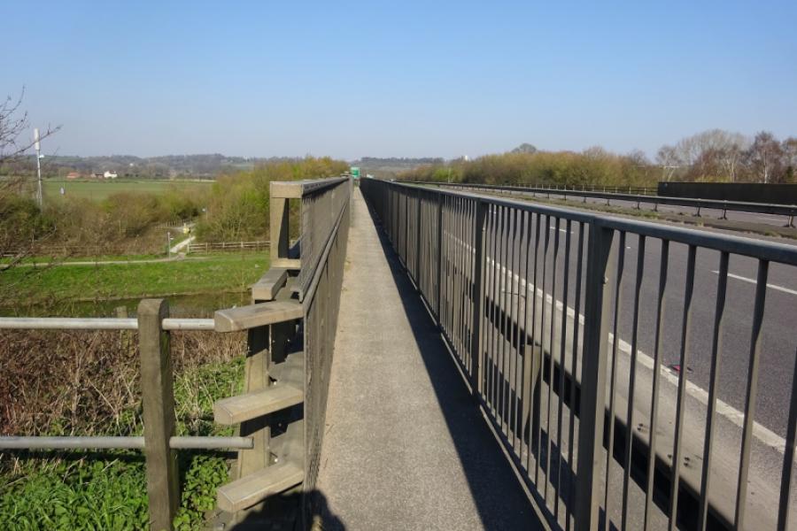
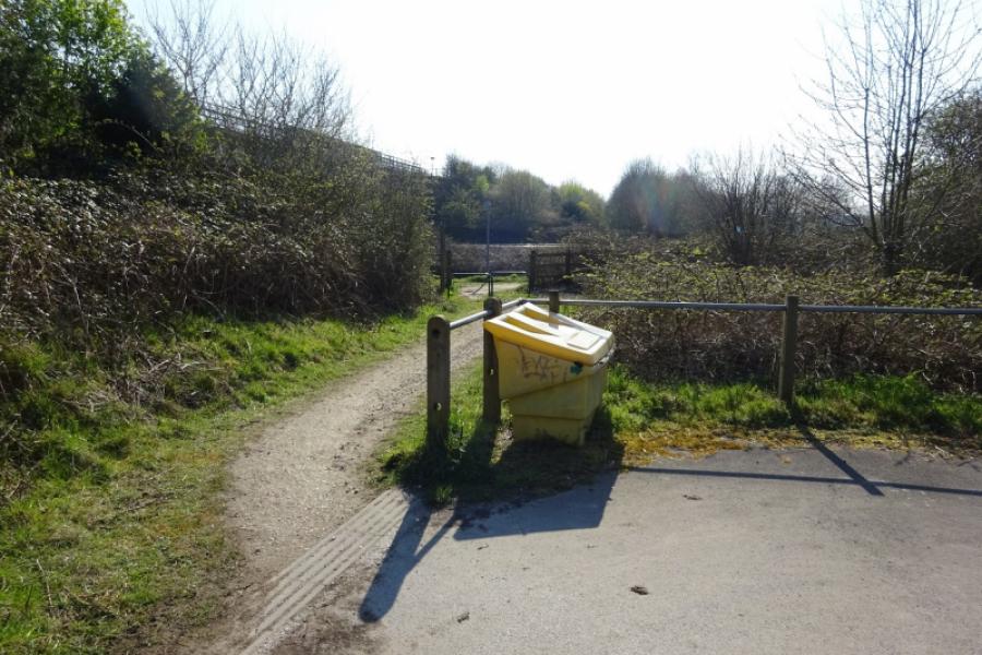
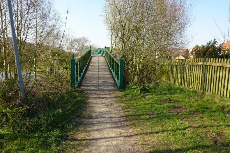
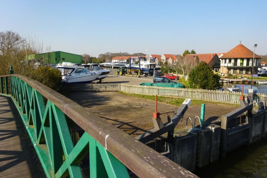
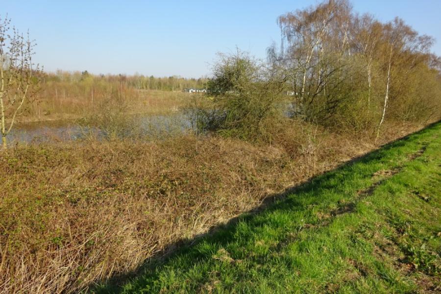
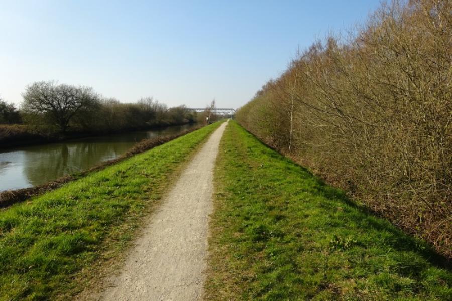
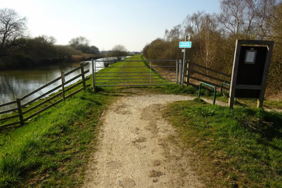
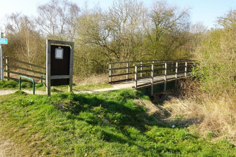
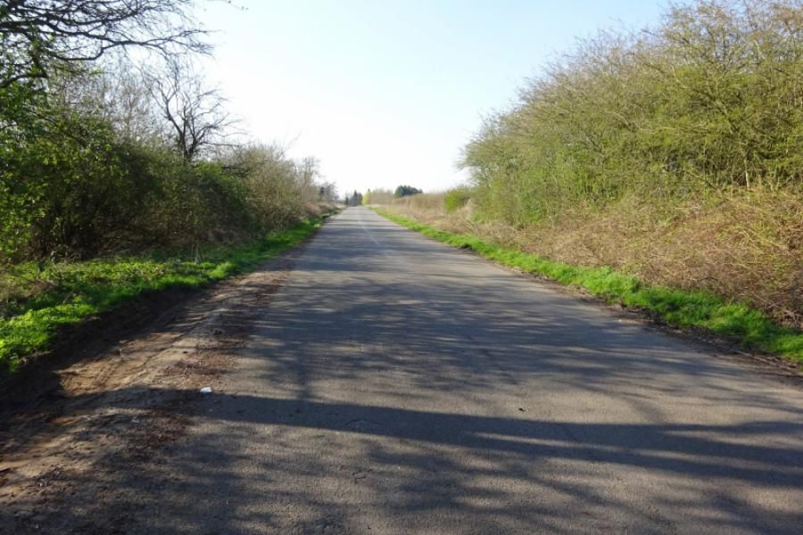
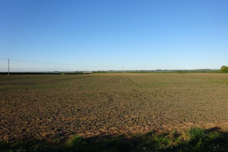
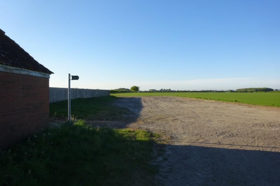
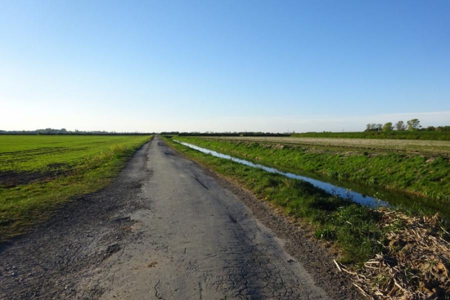
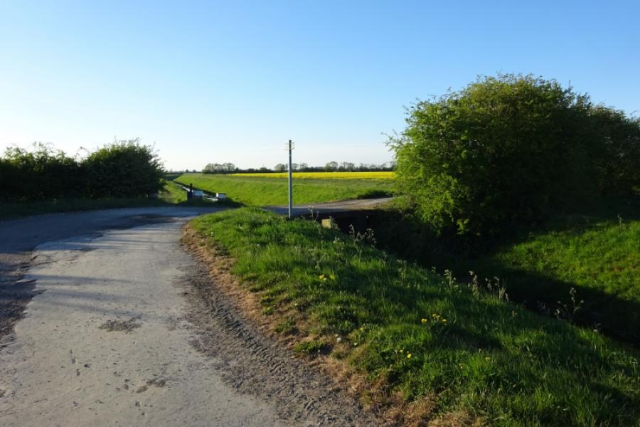
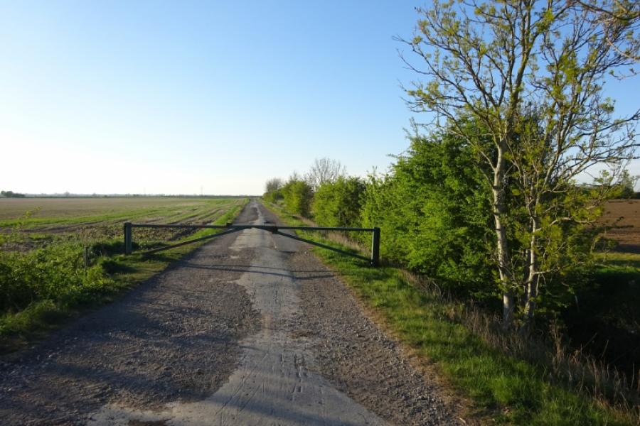
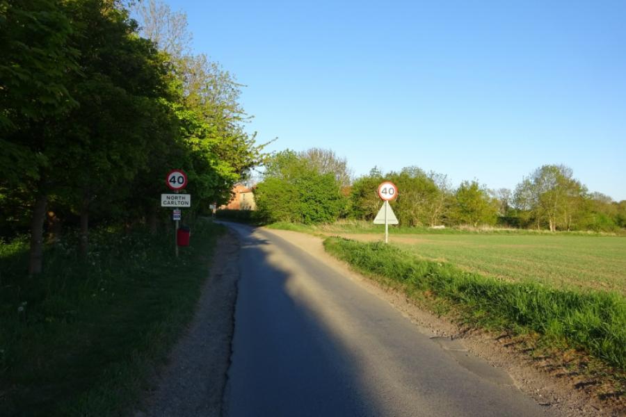
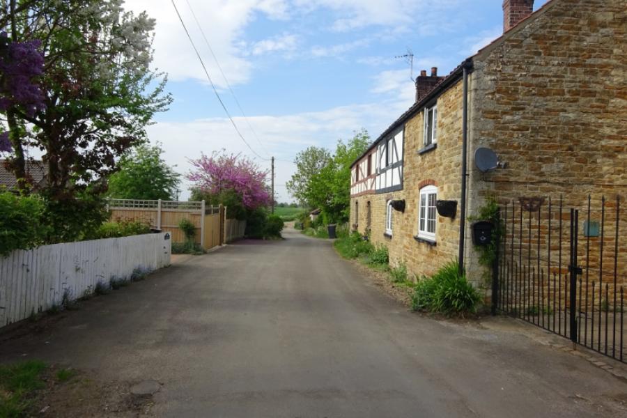
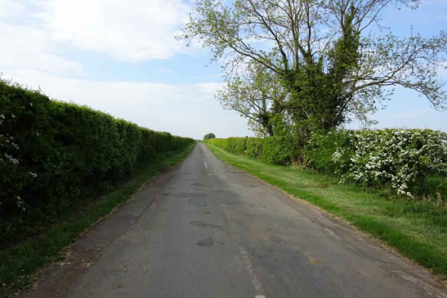
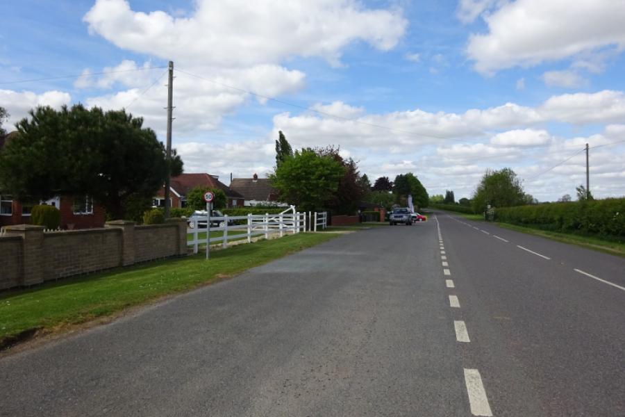
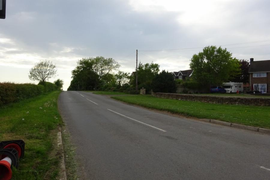
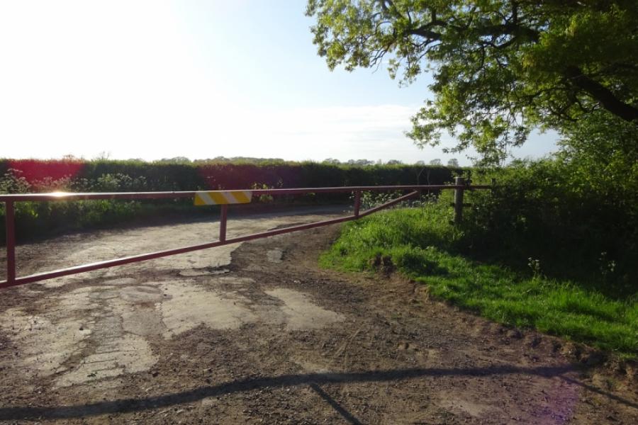
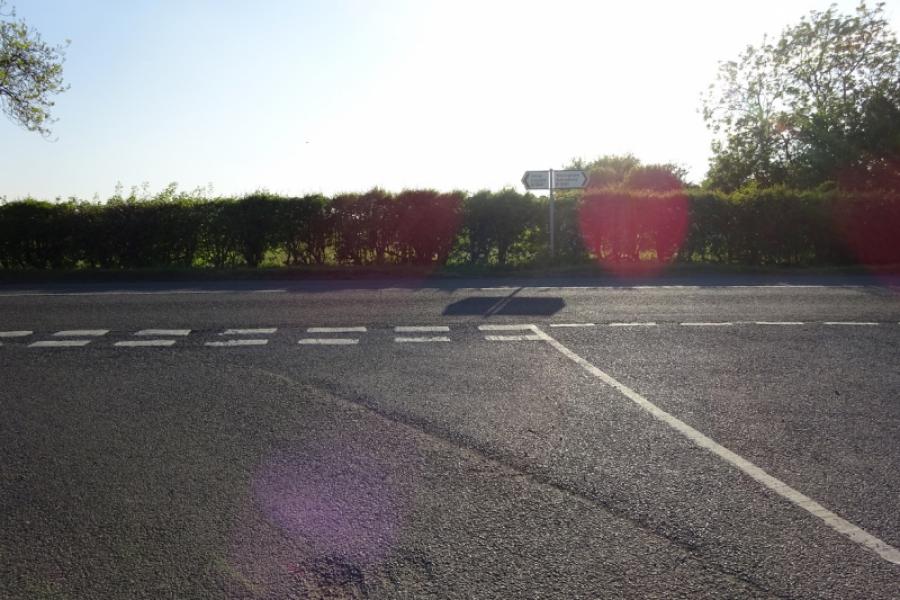
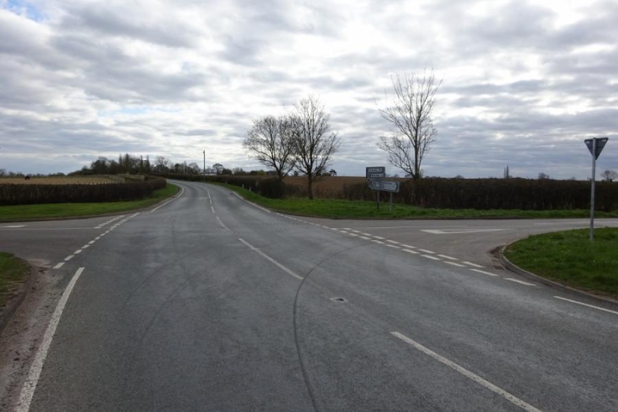
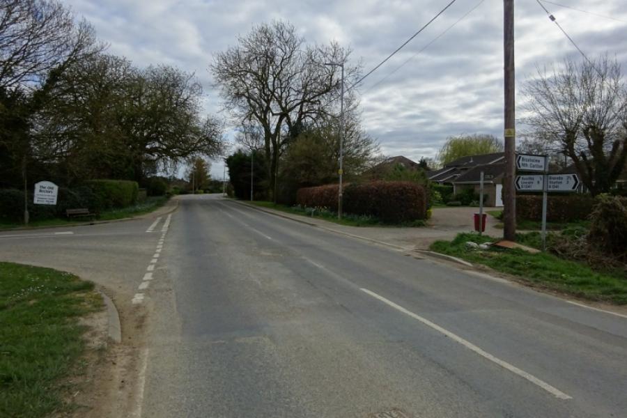
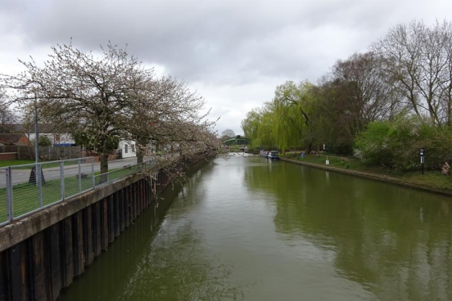
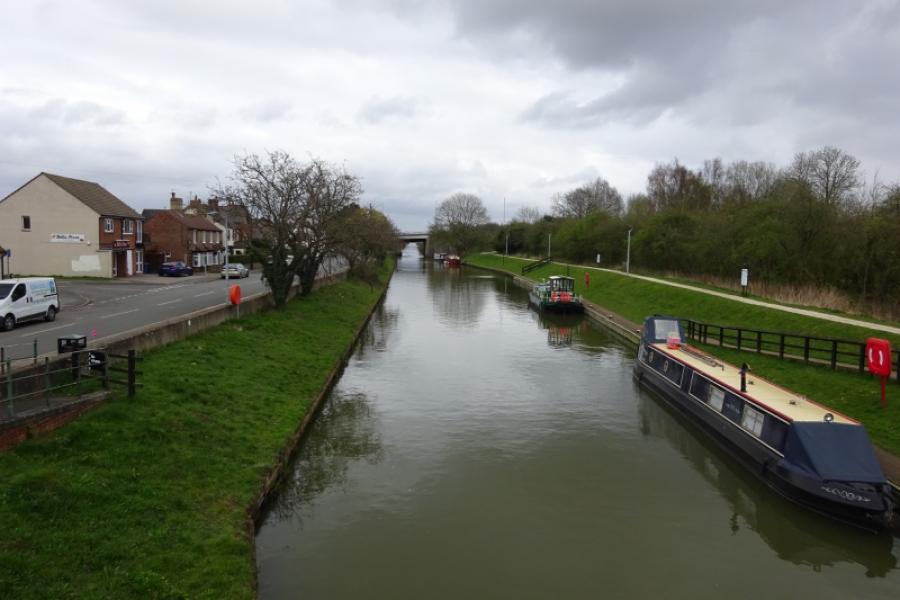
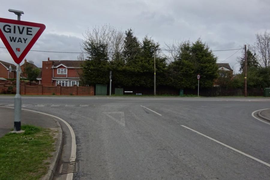
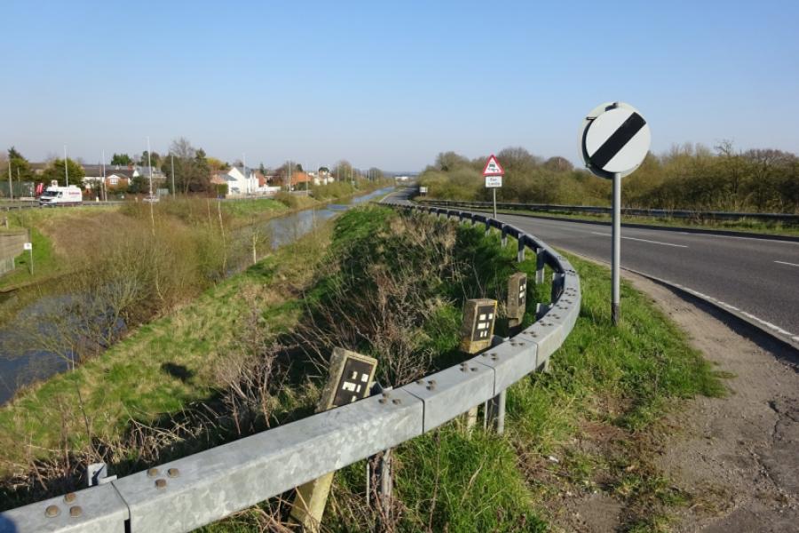
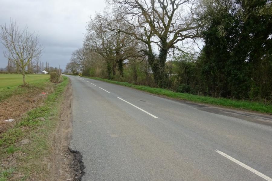
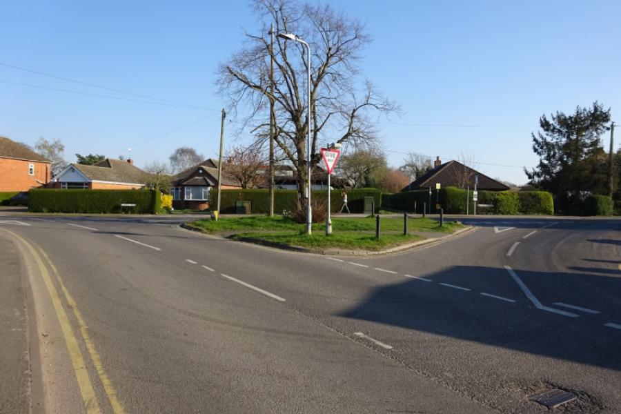
(1) From the community centre car park, cross the road and follow the sustrans track towards Lincoln. Reach a junction almost below the A46 Lincoln bypass and continue ahead on a narrower track, in the trees and below the bypass. This leads up to the side of the bypass and crosses by a self contained but narrow bridge so you are safe from the traffic. Cross the Foss Dyke and railway then descend the other side which has a tight hairpin bend early in the descent. At the second hairpin, go straight on and join the cycle track alongside the Foss Dyke. Turn right, towards Saxilby, with the bypass bridge now behind you. Continue on the rough cycle track. Pass Burton Waters (houses and marina) and continue until the track ends and one is directed off to meet the main A57 road opposite a used car garage. Cross over and follow the old road, left, towards Saxilby. This crosses the River Till just before it joins the Foss Dyke. The cycle path then follows the side of the A57 towards Saxilby. Look for a bridleway on the right towards the end of the old road, before it bends around to the left. This looks a bit rough but the track soon becomes a tarmac road once it passes Odder Farm, the first building, after which it turns right on a long straight before passing an old Grain Dryer. Continue to reach Main Drain where the track goes left and follows the wide drain. Stay with the tarmac road which goes around a couple of bends and passes a locked gate which is no problem at all for a cyclist. Continue and soon reach the road between Saxilby and North Carlton. Turn right and follow the road into North Carlton. Reach the church (it's tower seems to be leaning) and turn left into Church Lane. Follow the road to its end where a grassy track takes over. This is rough but not too much of a problem when dry. Follow the track to Tillbridge Lane which is often busy with traffic.
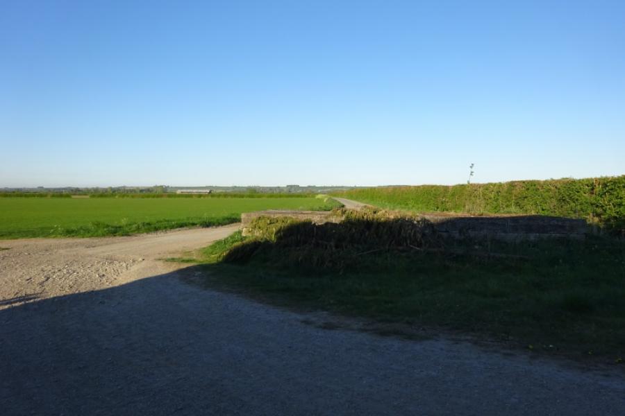
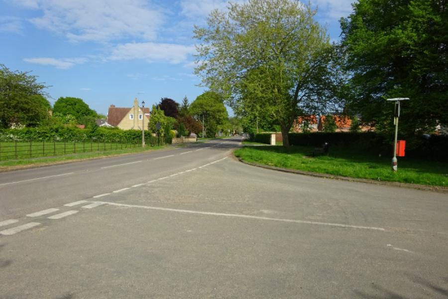
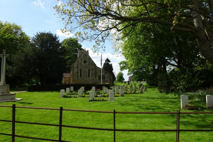
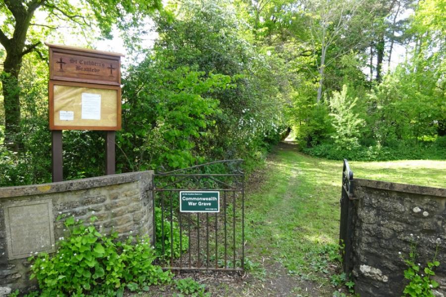
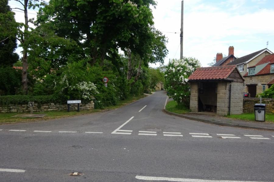
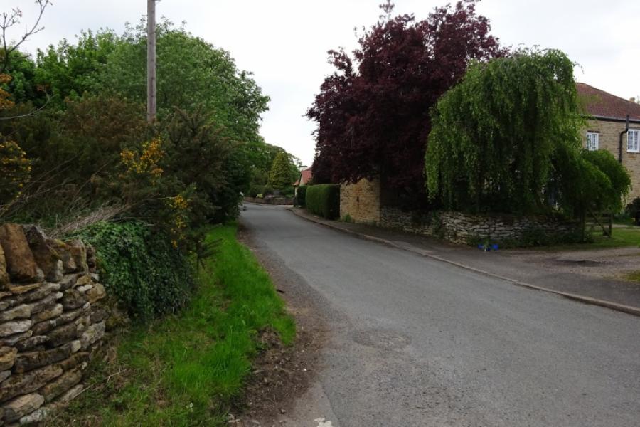
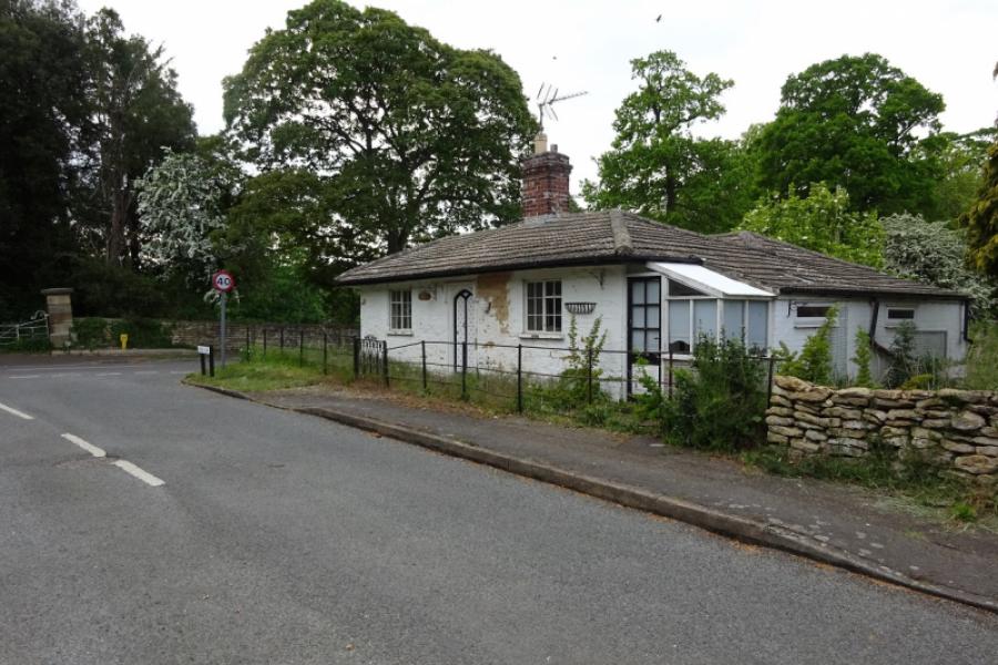
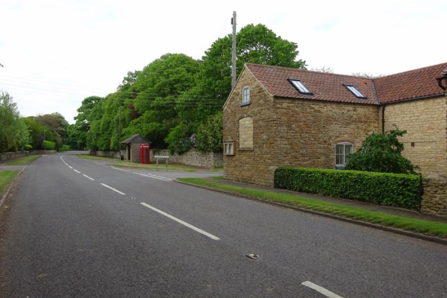
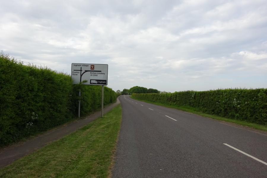
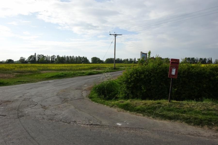
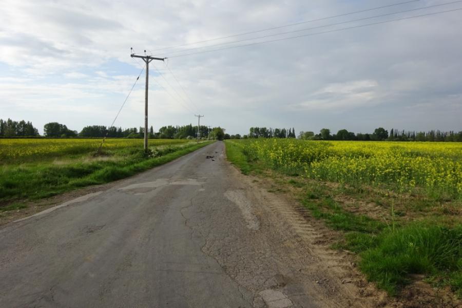
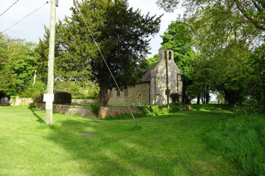
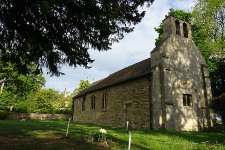
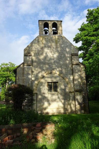
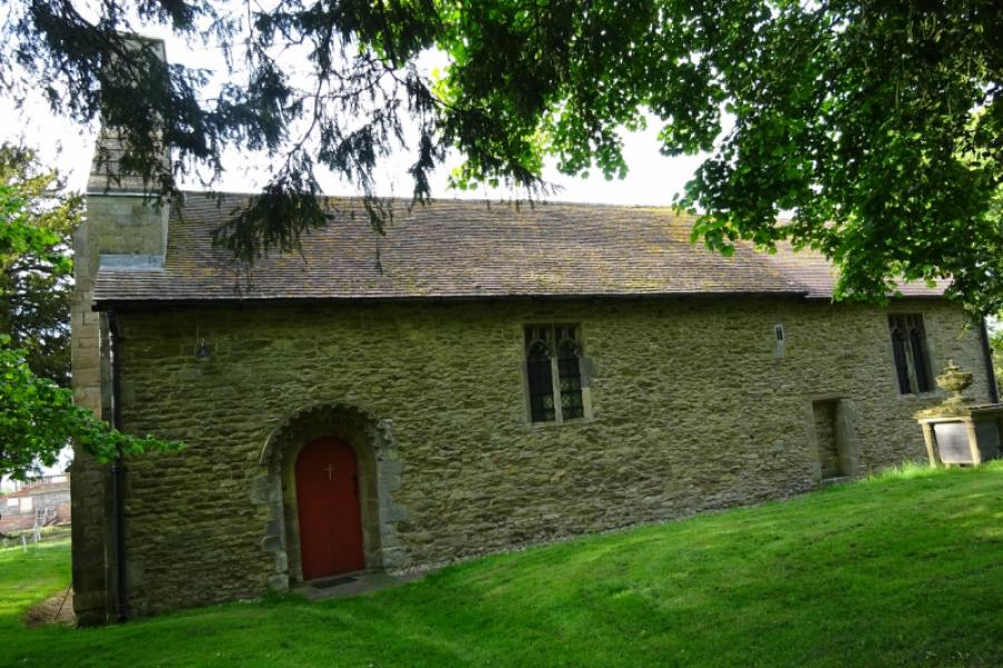
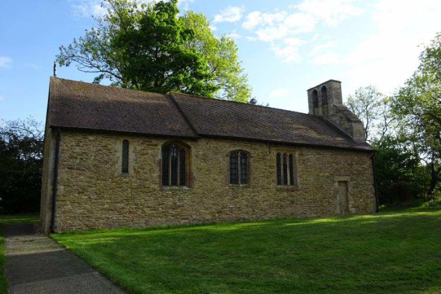
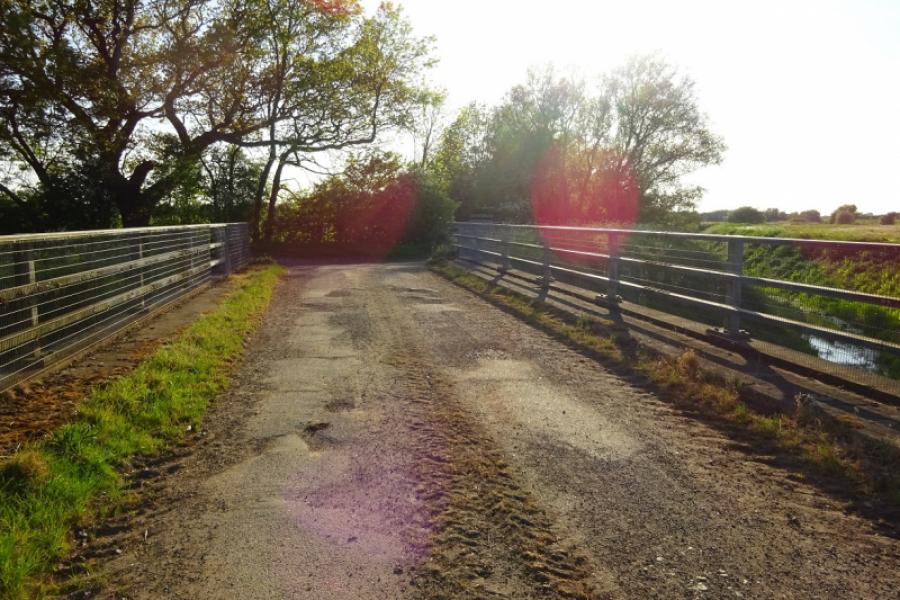
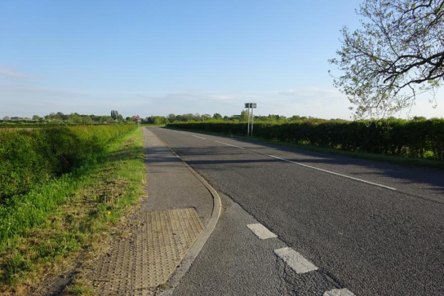
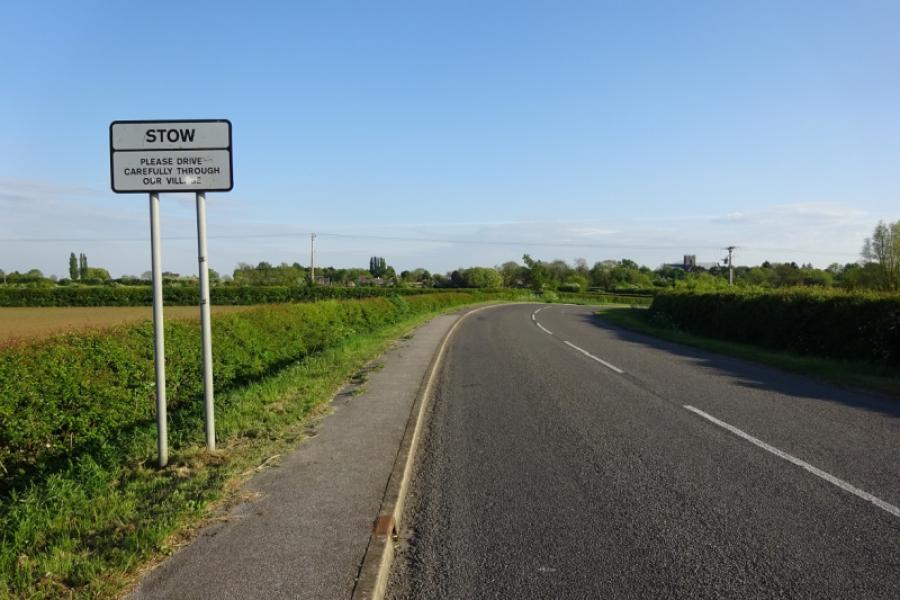
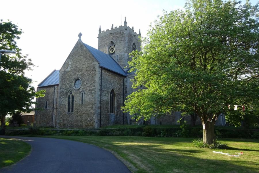
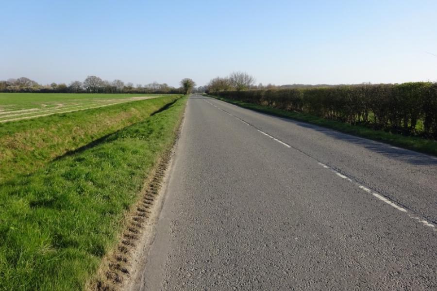
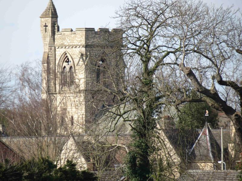
(2) Cross over and follow the back road into Scampton Village, ignoring the left turn on the way. Reach the main road. If you wish to visit the Dambusters Inn then turn right and go past the village green. Otherwise turn left and soon pass through the small village of Aisthorpe then reach Brattleby. It is worth taking a short detour up Back Lane which joins School Lane before returning to the main road. Continue and pass through Cammeringham and onward towards Ingham. At the crossroads on the edge of Ingham, turn left for Coates and follow a long straight road, Stow Lane. After about 2.5 miles/4 km, reach the right turn (signed) for Coates. Follow the road to a right hand bend then into Coates and St. Edith's Church. Retrace to the bend but go straight on and follow the rough track to a barrier, easily passed, beyond which is a rough tarmac road. Follow this road, crossing two bridges, all the way to the main road between Normanby and Stow. The first bridge goes over a tributary of the River till whilst the second crosses the Till itself. Both rivers are little more than deep cut ditches so far upstream. Turn left on the main road and follow it into Stow. It is worth cycling around the impressive Stow Minster.
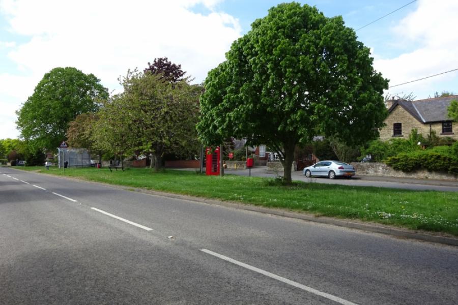
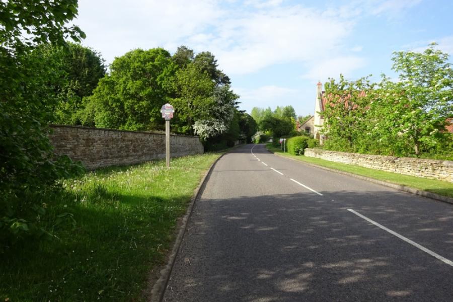
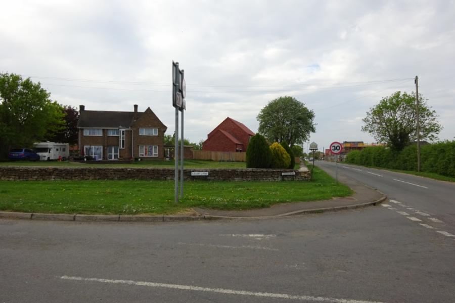
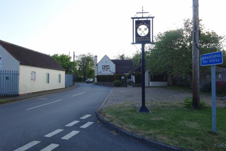
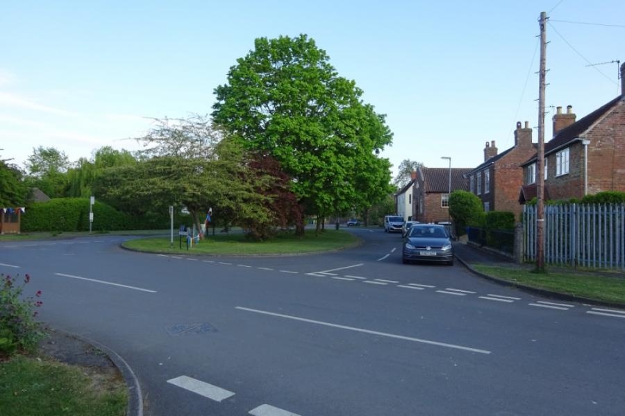
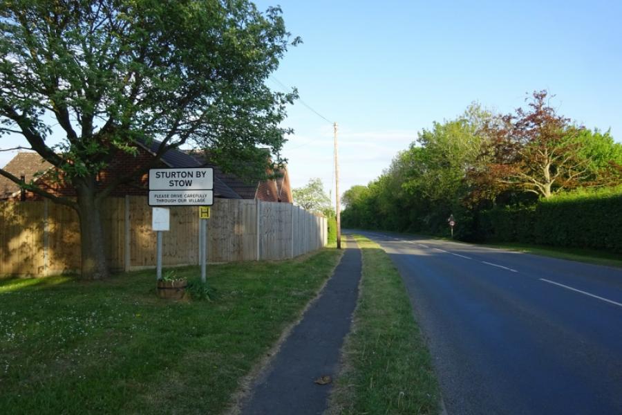
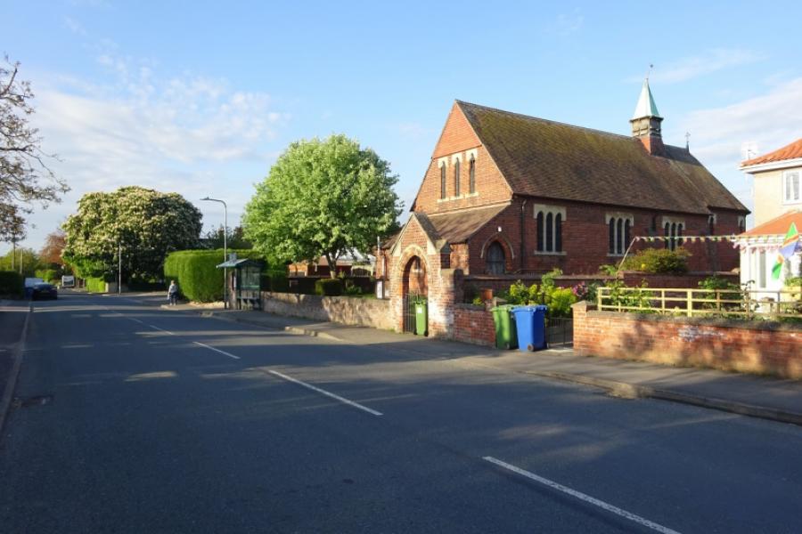
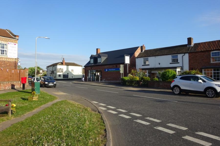
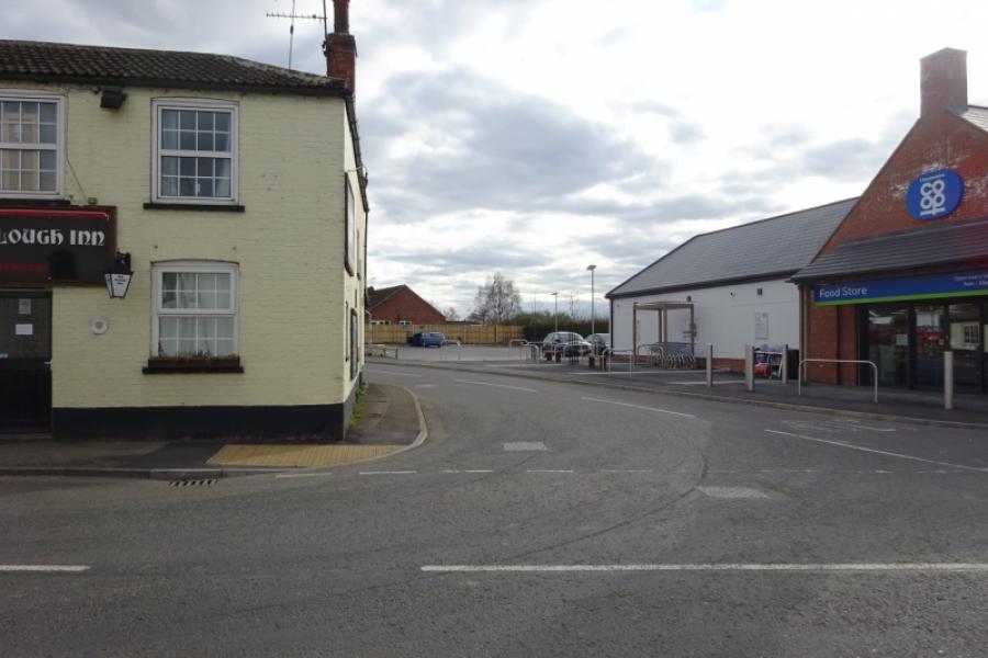
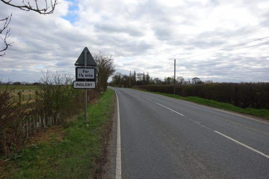
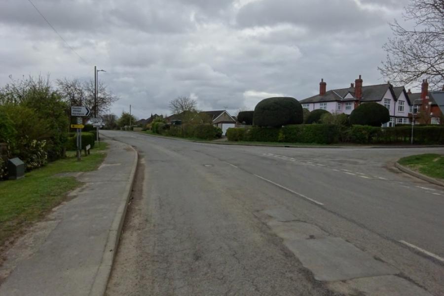
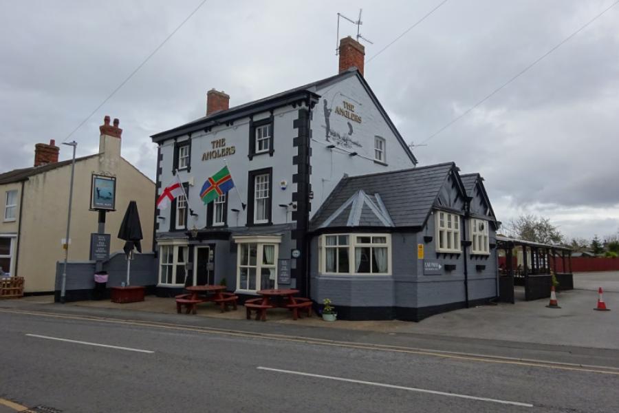
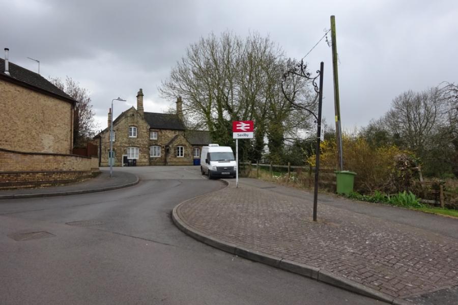
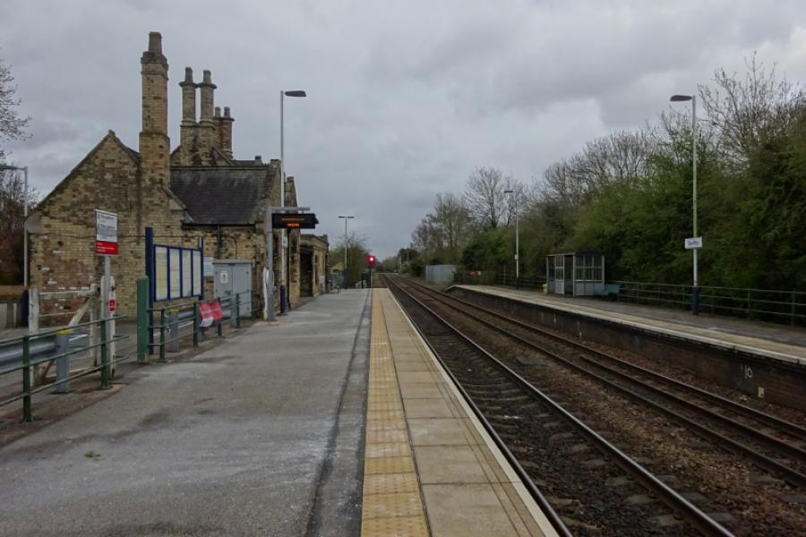
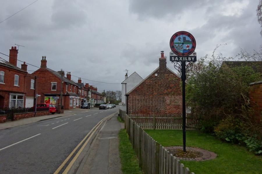
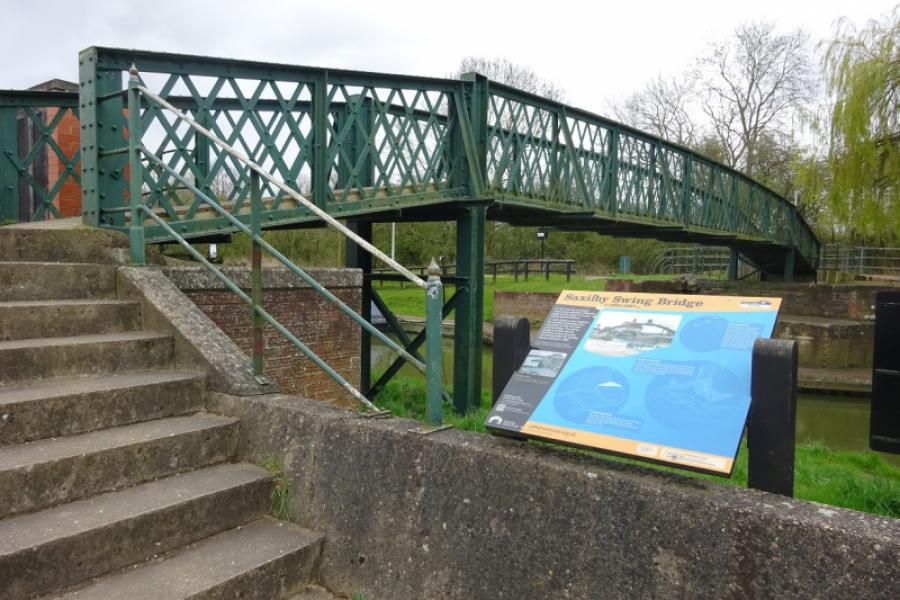
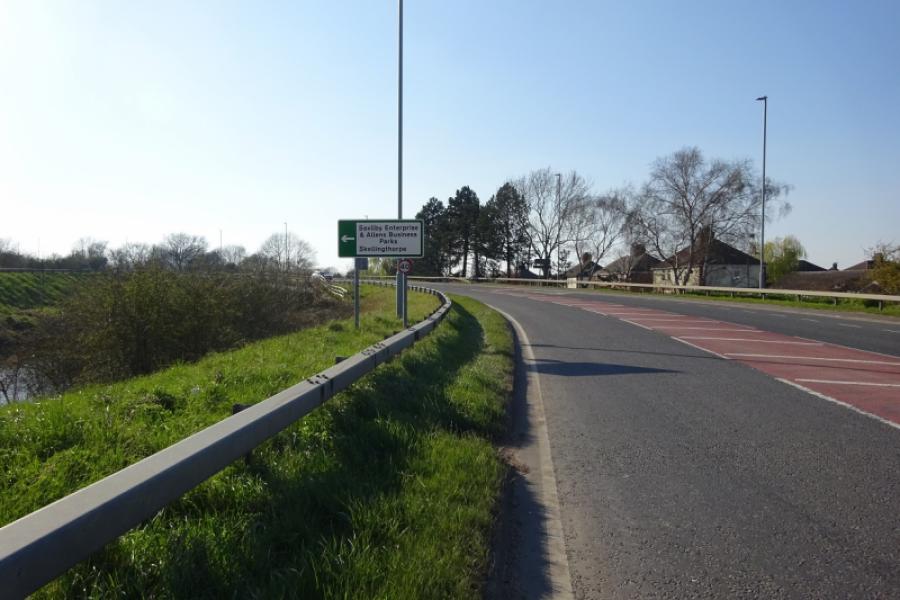
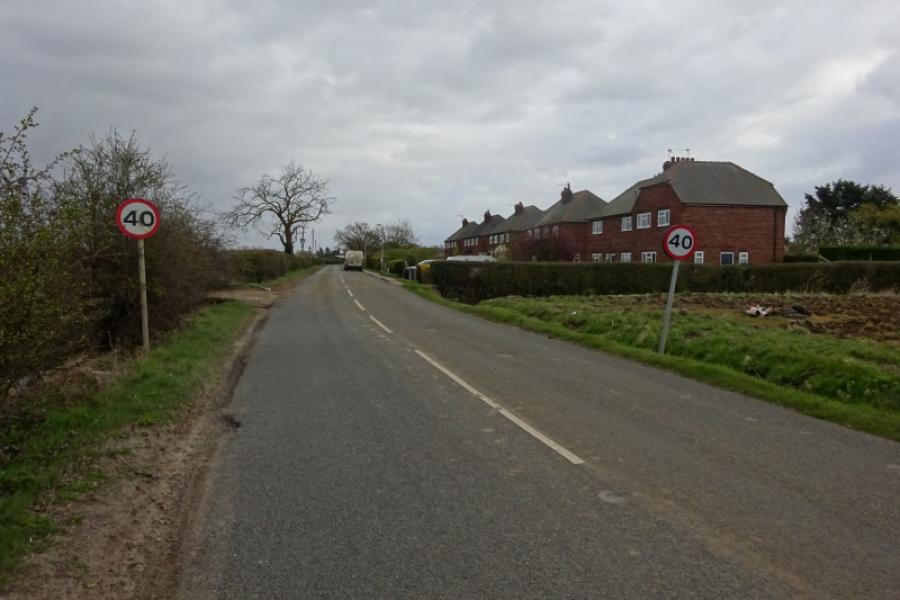
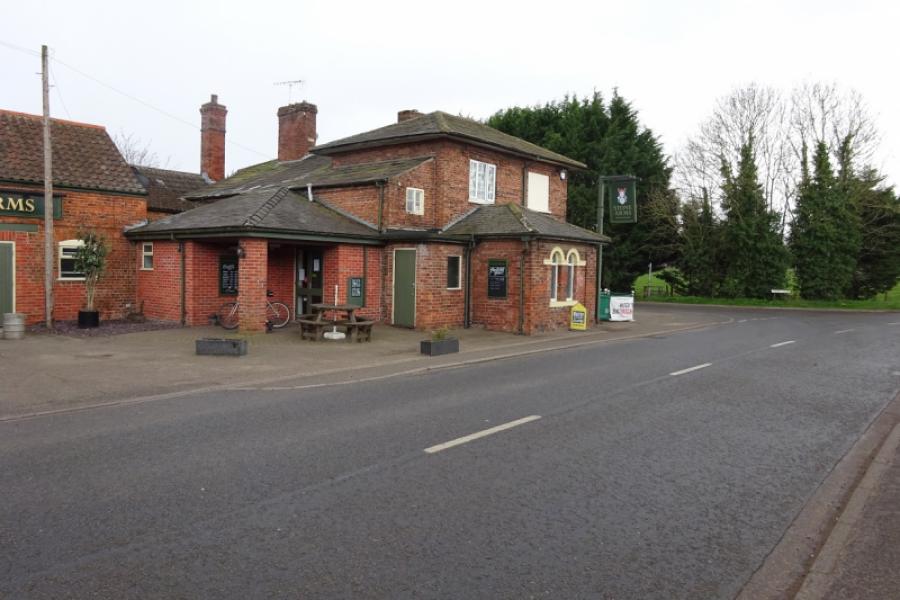
(3) Continue to reach Sturton. Turn left onto Tillbridge Lane then immediate right to take the road between the Plough Inn and the Co-Op which is the road to Saxilby. Follow this out of the village. Cross the road from Bransby to Torksey then reach the strung out hamlet of Ingleby which starts with Ingleby Chase and finishes with Ingleby Grange with about a mile in between. Continue and soon reach the edge of Saxilby then pass the road from Broxholme. Continue then take the right turn signed for Saxilby village. Pass the church, short detour on the right, and continue past the Co-Op into the village. The station can be visited by a short detour on the right after passing the village hall. The road eventually runs alongside the Foss Dyke before leaving the shops behind and bends round to reach Mill Lane. Turn right to reach the busy A57. Turn right and go up onto the bridge then take the left turn on the top of the bridge for Skellingthorpe.
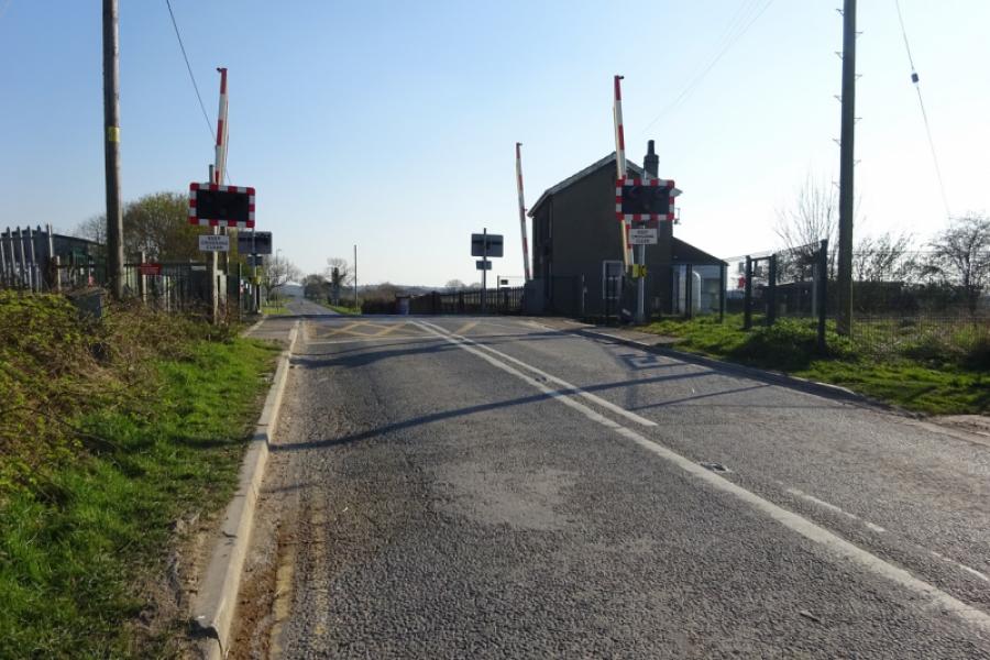
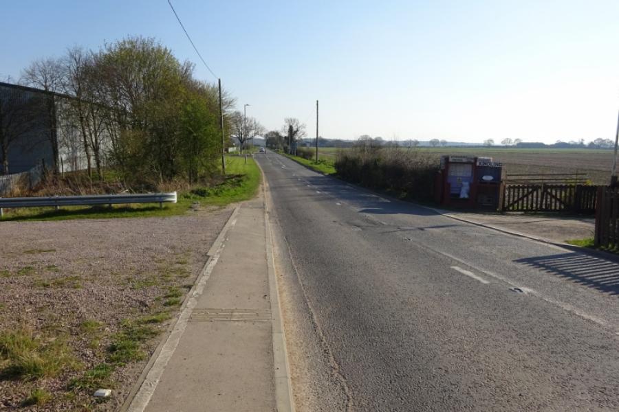
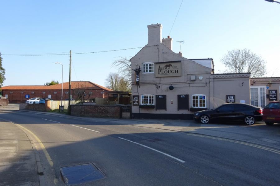
(4) Follow the back road towards Skellingthorpe, initially alongside the Foss Dyke then over a level crossing. Continue past a small industrial estate then around a left handed bend to pass the road, on the right, into the Old Wood. Stay on the road and continue towards Skellingthorpe. Reach the village, pass the Stones Arms then the Plough Inn and Co-Op to reach a triangular junction. Turn left and follow the road back to the community centre.
Notes
(a) This cycle ride took place in May, 2020.
Photos - Hover over photo for caption. Click on to enlarge. Click on again to reduce.
![]()
![]()
![]()
![]()
![]()