Get Lost Mountaineering
You are here: England » Lincolnshire » Lincoln Area Cycle Rides » From Skellingthorpe going West towards Harby AND crossing the Fledborough Viaduct over the River Trent
Skellingthorpe Fledborough Ragnall Laneham Church Laneham Torksey Kettlethorpe Thorney
Skellingthorpe Fledborough Ragnall Laneham Church Laneham Torksey Kettlethorpe Thorney
Start/Finish
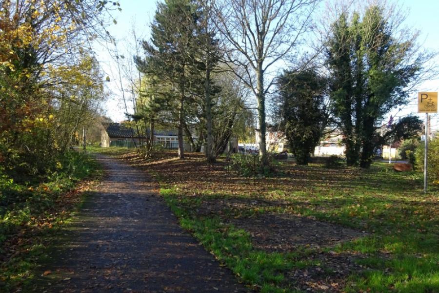
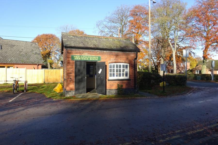
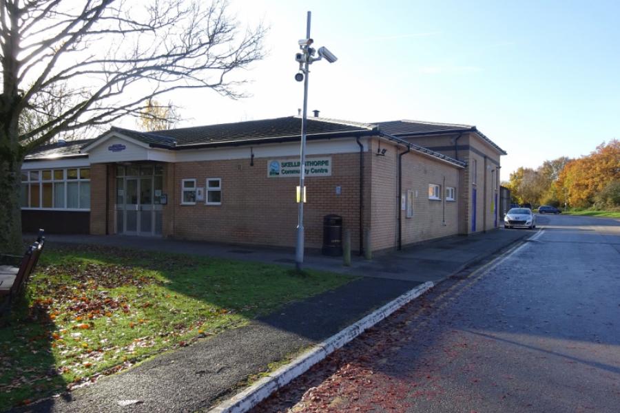
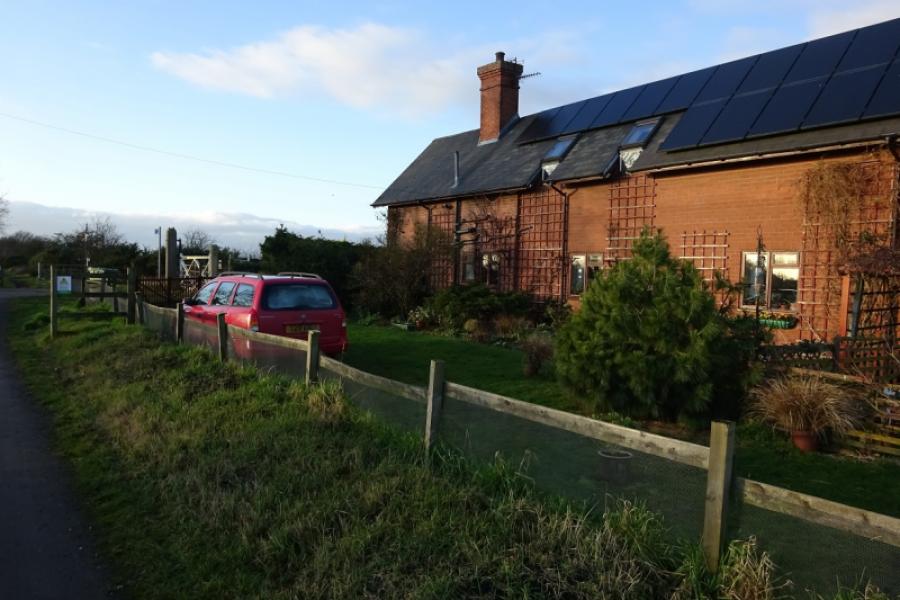
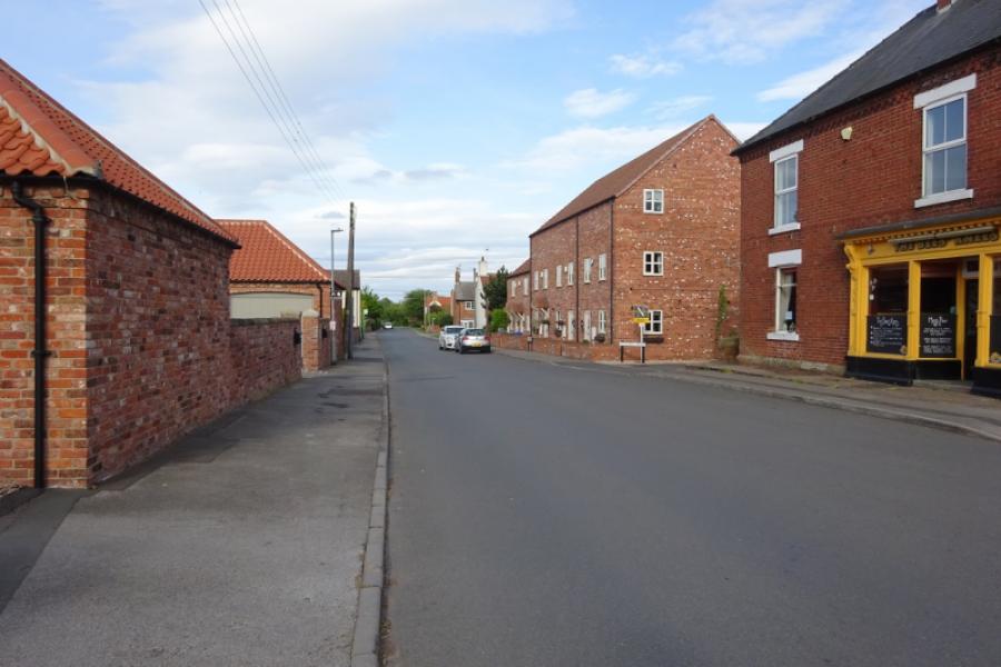
Skellingthorpe community centre where there is usually ample free parking. This is most easily reached from the Skellingthorpe roundabout on the A46 Lincoln bypass. Take the road into Skellingthorpe and the car park is roughly where the cycle track from Lincoln crosses the road.
Distance/Time
41 km/26 miles About 3 – 4 hours
Introduction
This is a pleasant cycle which is on a sustrans track to its end at Fledborough. A minor road is then followed to the busy A57 west of Dunham with a short detour to Fledborough hamlet on the way. The A57 is crossed after Ragnall then onto Laneham, Church Laneham, Cottam Power Station then over the River Trent viaduct at Torksey then along the A156 Fenton for Kettlethorpe to the crossroads at the A57 for Thorney after which quiet roads are followed to rejoin the sustrans track back to Skellingthorpe. The section of about 1 km just before the Torksey viaduct is not strictly a cycle path and is only suitable in a dry spell; bicycles then have to be carried up steps onto the viaduct and down steps on the other side meaning that this route is better suited to a mountain bike than a road bike. The track from Kettlethorpe to the A57 is rough but passable on a road bike in a dry spell. Church Laneham is very picturesque by the river. Some of the gates will need you to get your bicycle up onto its rear wheel to get through.
Route
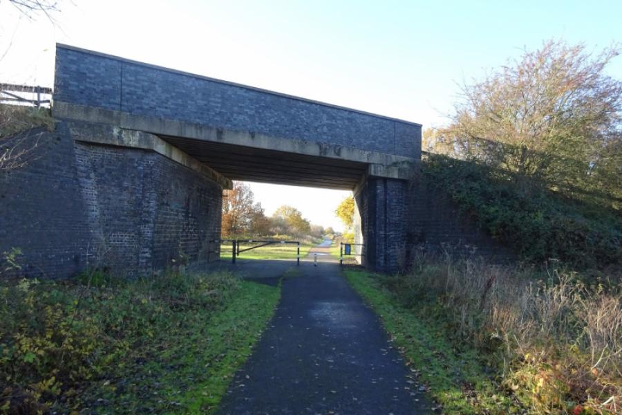
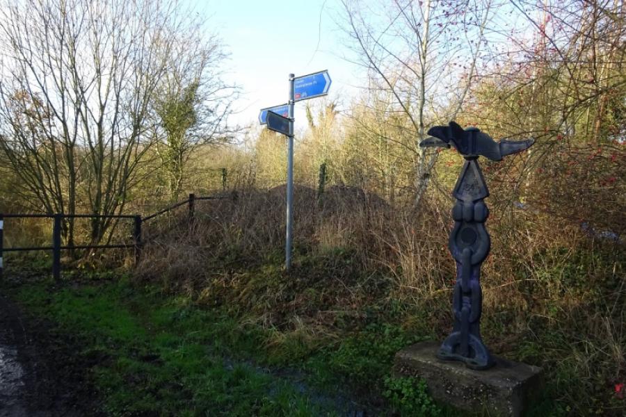
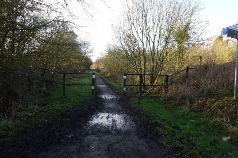
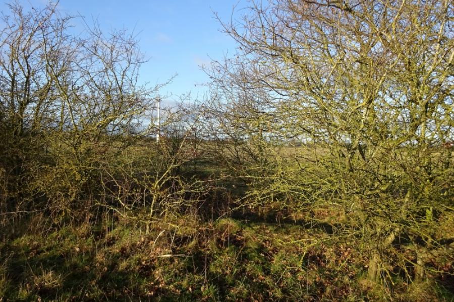
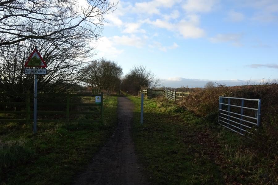
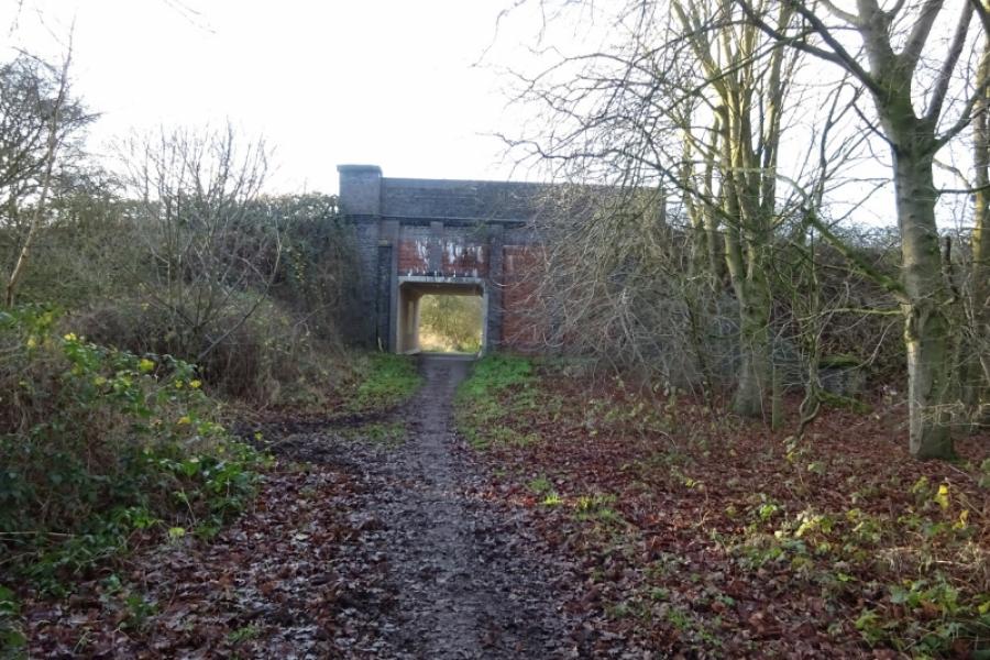
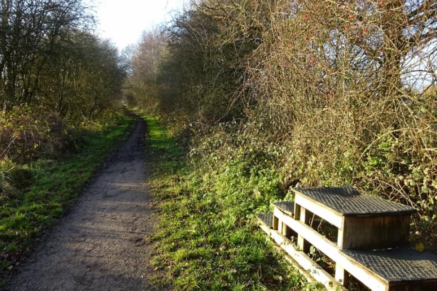
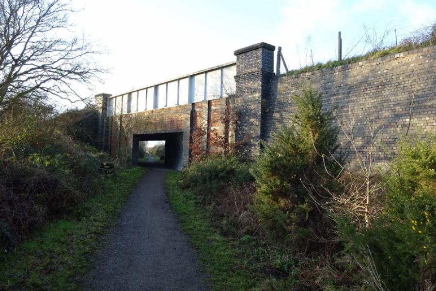
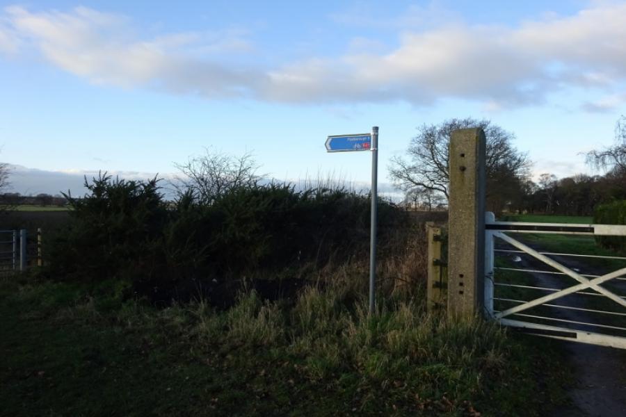
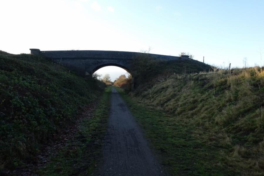
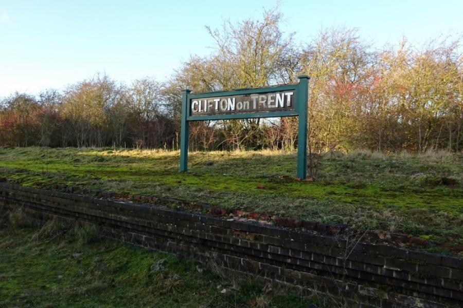
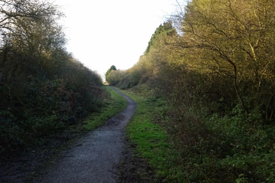
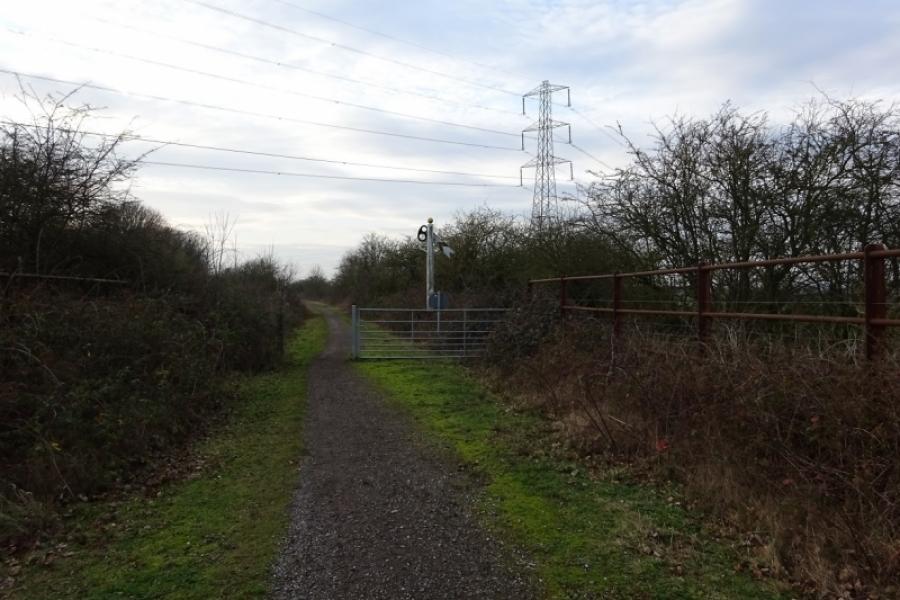
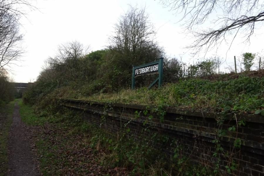
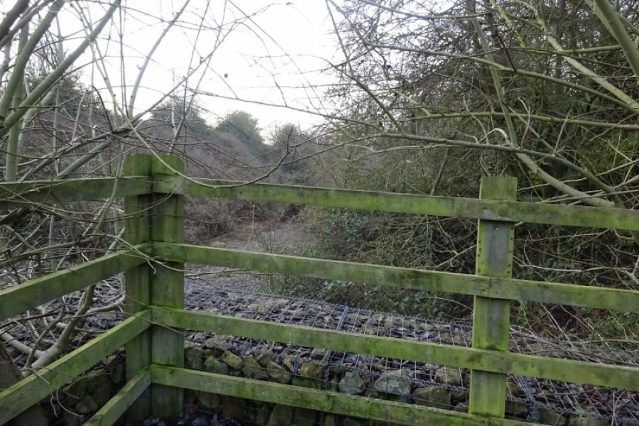
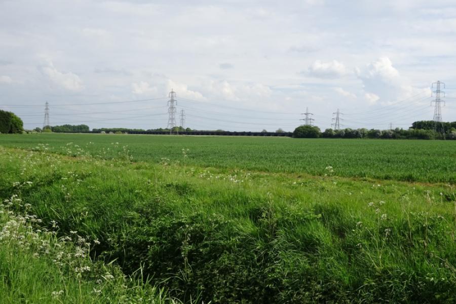
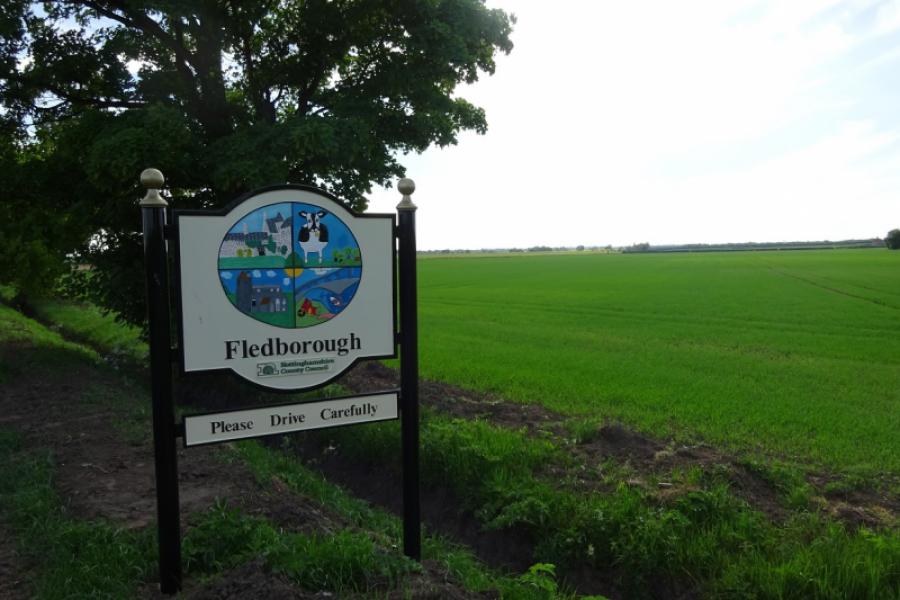
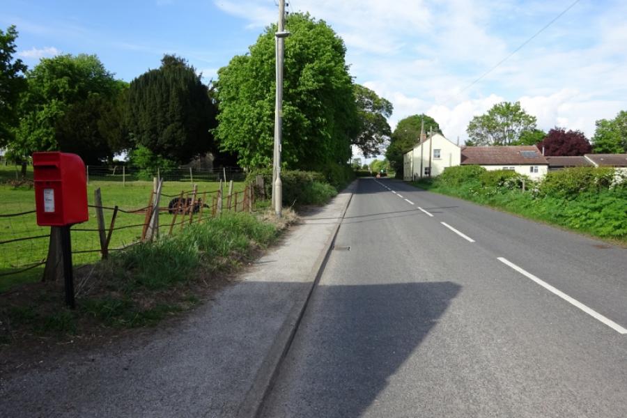
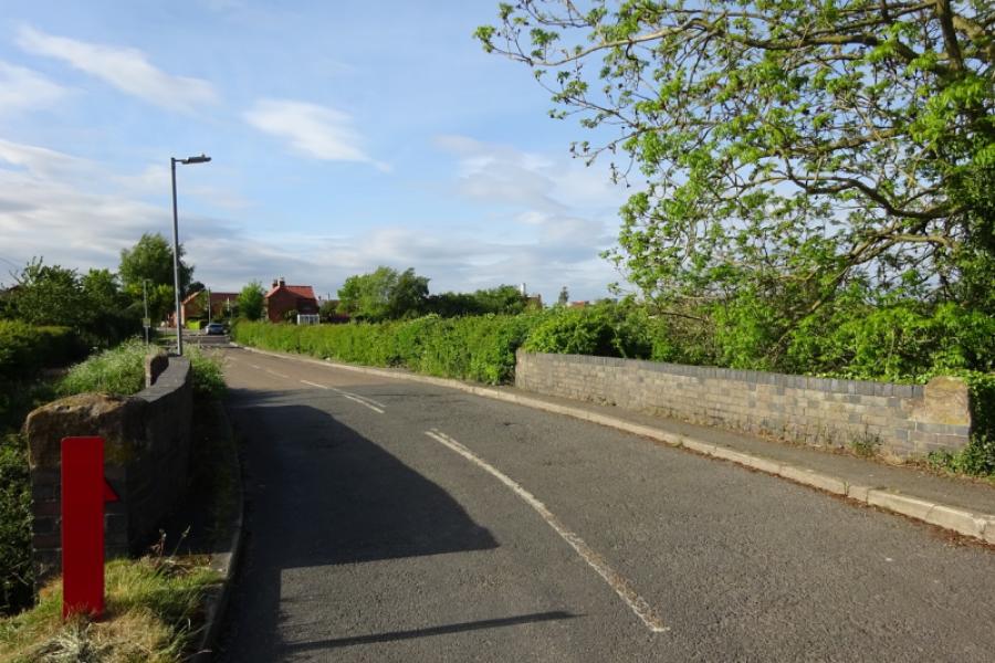
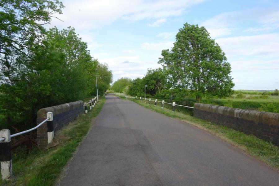
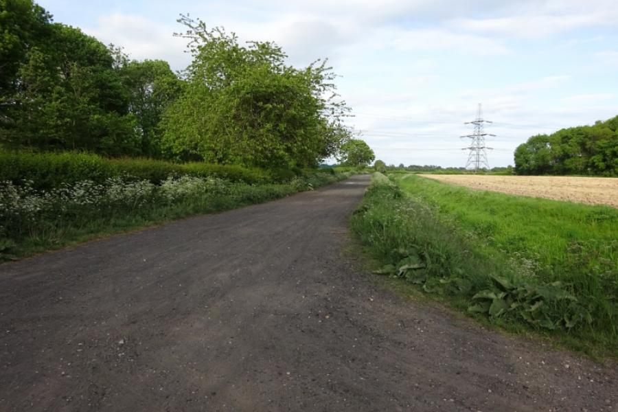
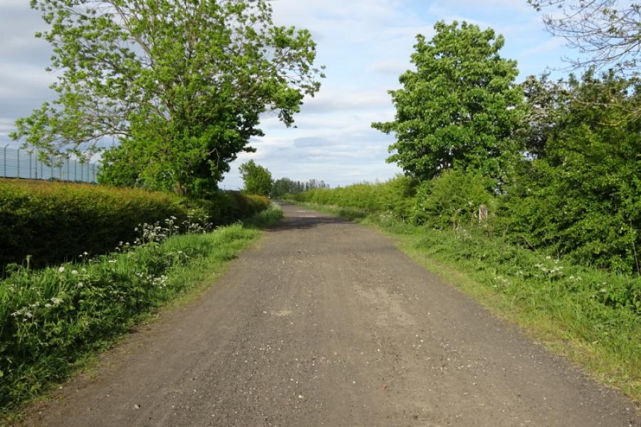
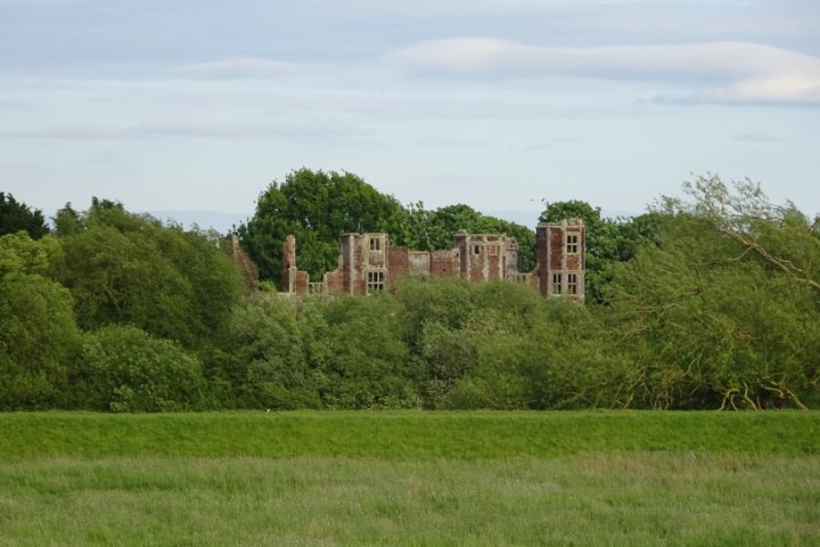
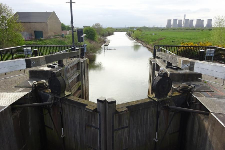
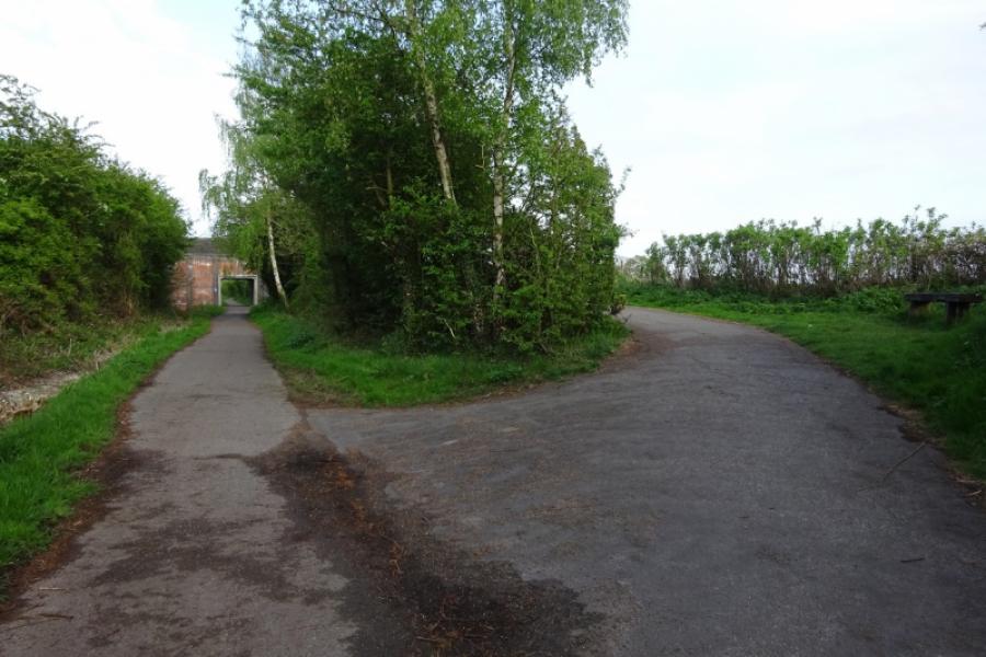
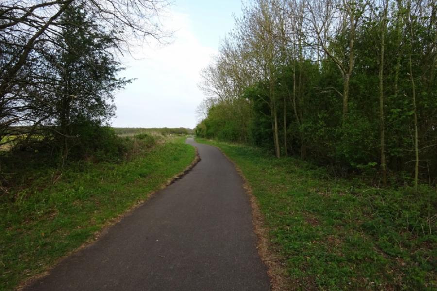
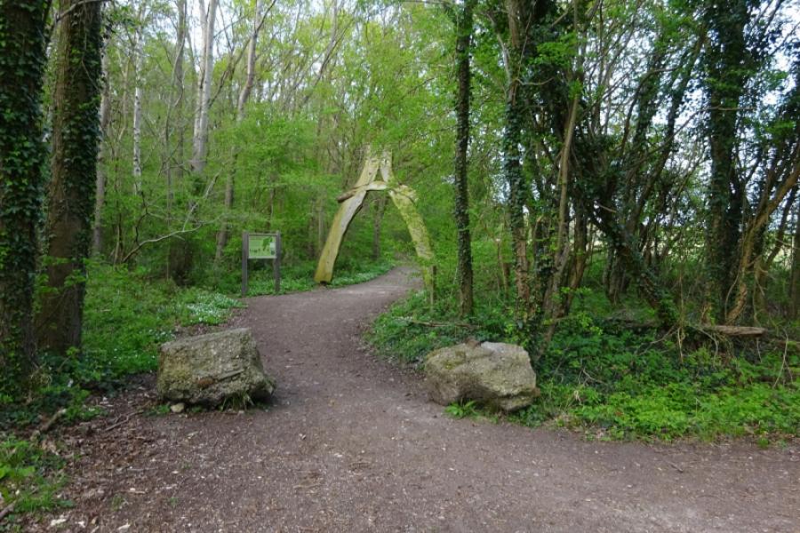
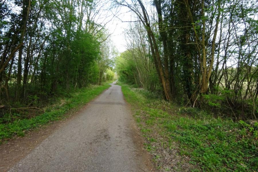
(1) Follow the cycle track from behind the community centre in the direction of Harby. Soon leave Skellingthorpe behind. After just over 3 km, go under the Doddington Road bridge. Continue for about another 1.5 km to go under the Harby Road bridge. Continue, ignoring the sharp left turn for Harby. Almost immediately, the track deteriorates and can be muddy in places. Continue ahead, passing some turbines on the right then crossing Wigsley Drain before passing under the Wigsley Road bridge then the South Clifton Road bridge soon after. Soon after, pass the only house next to the track which still has its old level crossing. Continue and go under another bridge, near Moor Farm, then another (with no road on it!) before reaching the remains of Clifton on Trent station. One platform and a station sign remains but the former station buildings are now private and fenced off. Just after the station is the A1133 road bridge, part of the road from Newton on Trent to Collingham and Newark. Continue and soon pass the turn off for North and South Clifton then soon reach the start of the long viaduct over the River Trent. At the far end is an old signal, after which there is what is left of the former High Marnham Power Station on the left. Within a mile reach the old Fledborough Station. At the end of the old platform, the sustrans track leaves the track bed of the old dismantled railway and ascends to the road where there are signs for cyclists.
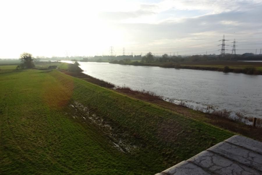
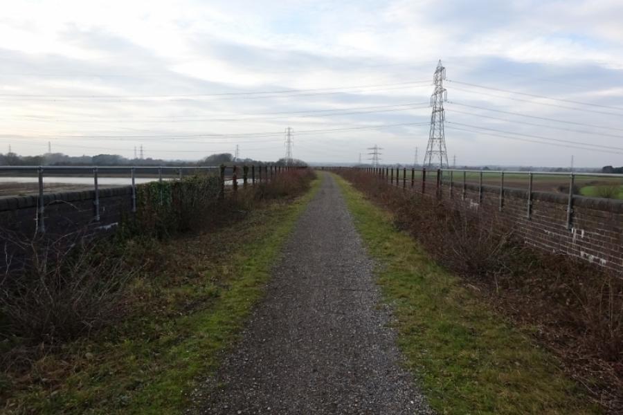
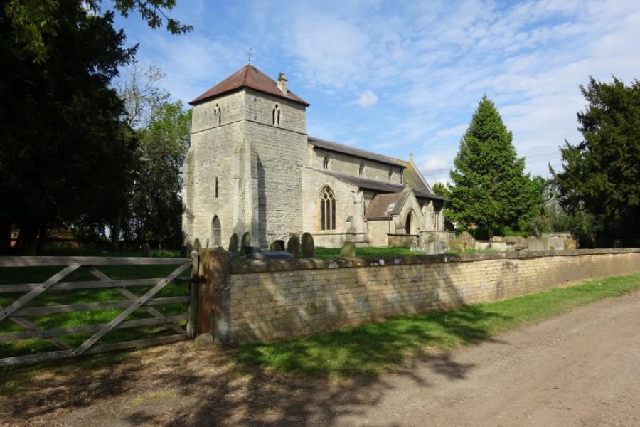
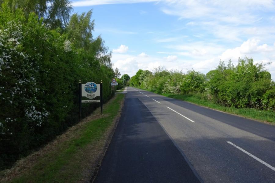
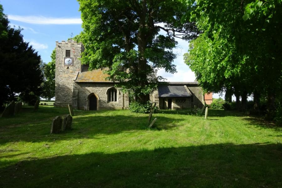
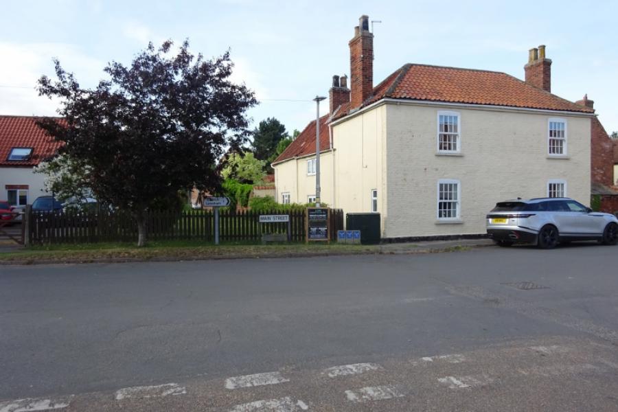
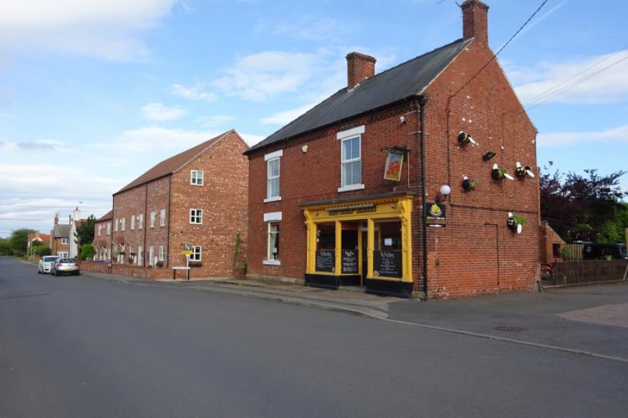
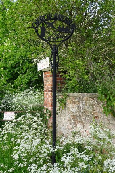
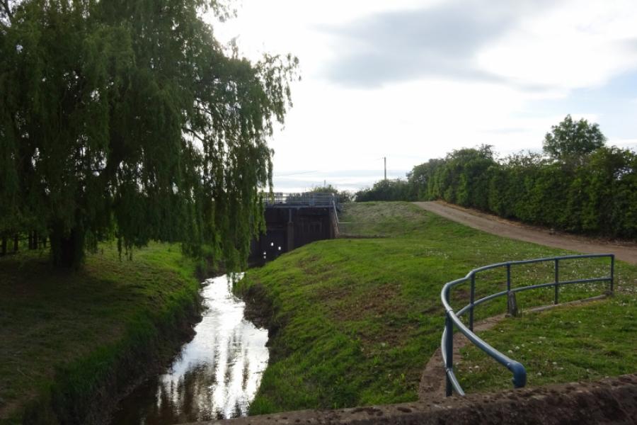
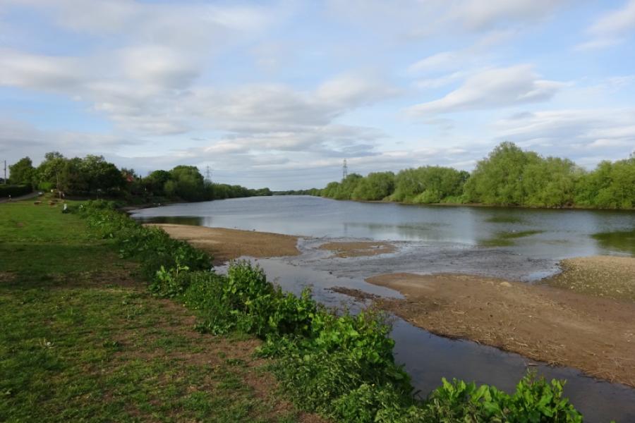
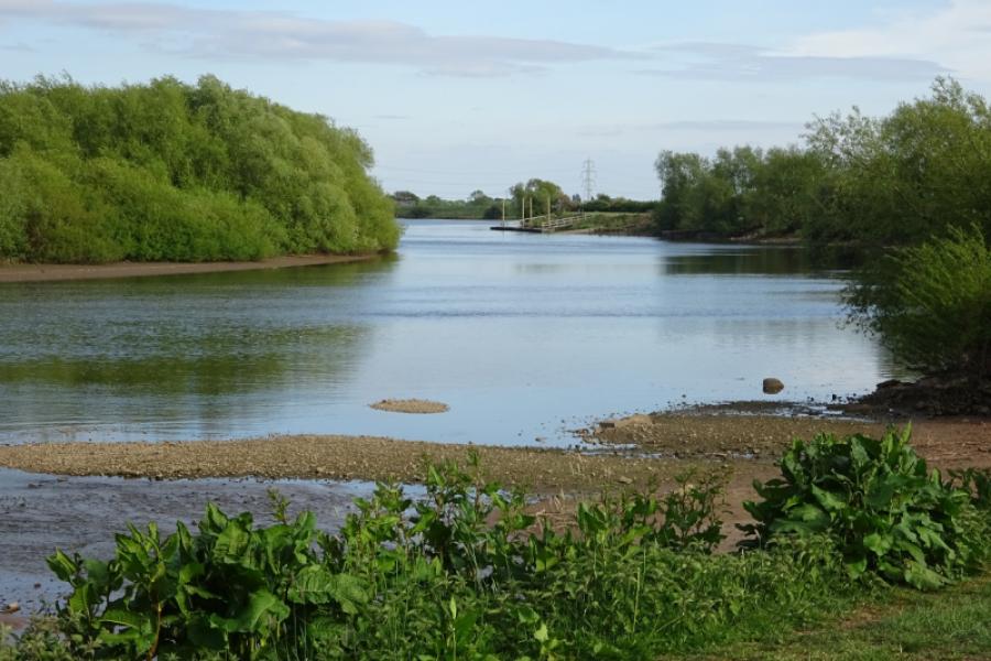
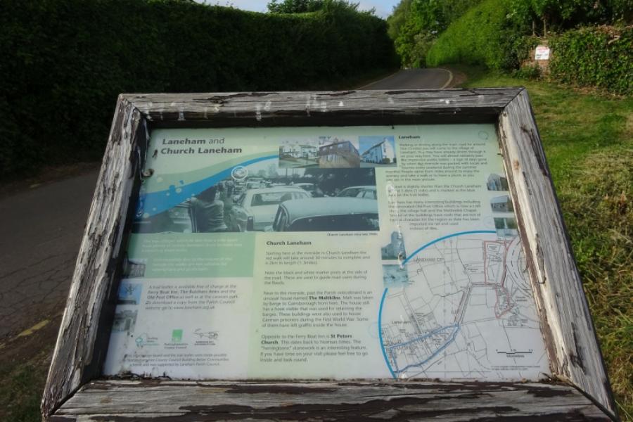
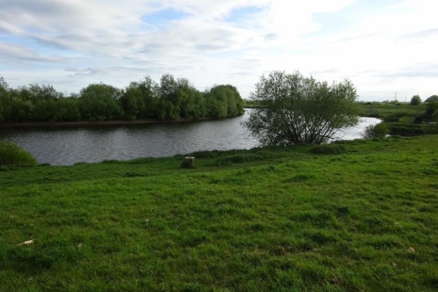
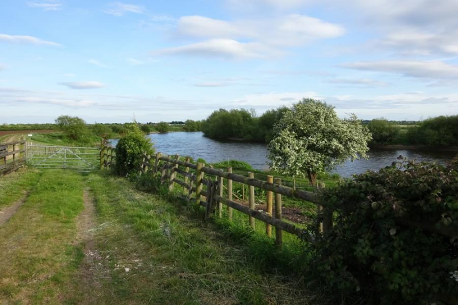
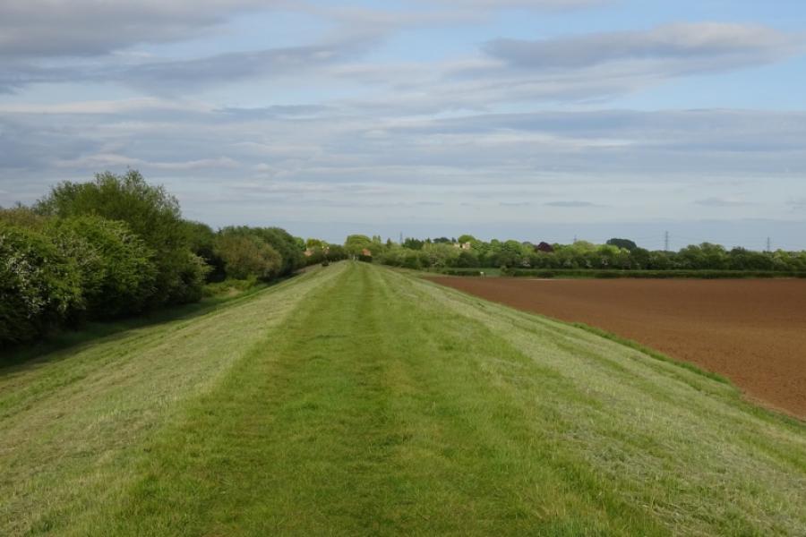
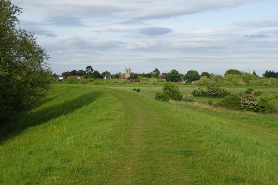
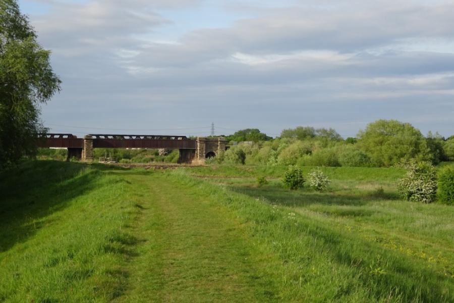
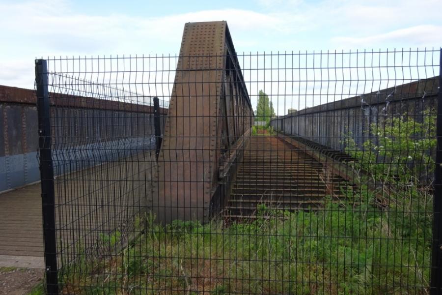
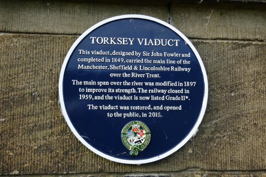
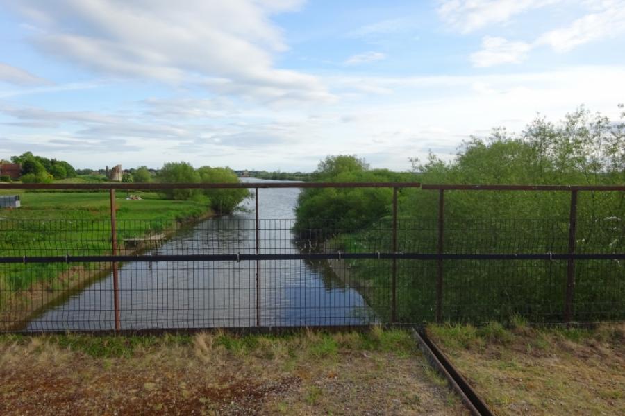
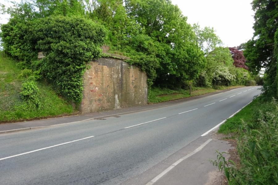
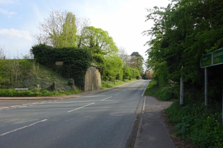
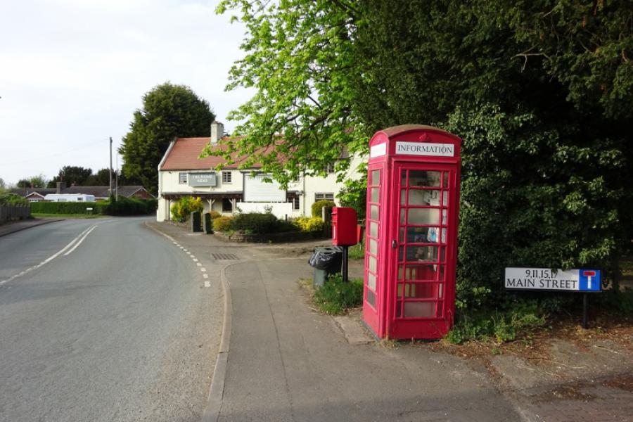
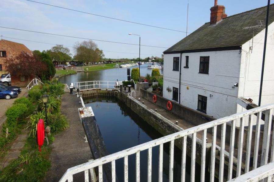
(2) Follow the road north, past the two houses but not crossing the bridge over the sustrans track as that is south! Reach the turning for Fledborough village, on a bend, and take the short detour to the church from where there is a good view of the Fledborough viaduct. Retrace back to the main road. Turn right and follow it through Ragnall to reach the busy A57 at the crossroads to the west of Dunham. Cross over and follow the road, passing a turning for Dunham then take the first turning for Laneham. Reach a T junction and turn right onto the Main Street. Continue through the village and on to Church Laneham where some may wish to picnic by the river or sample the food and drink at the Ferryboat Inn. Continue out of Church Laneham until the road goes left and a rough track continues ahead aiming directly for Cottam Power Station. Reach a T junction (Torksey Ferry Lane) and turn right alongside the power station. Continue on the track passing a secure area on the right. Soon after, fork right, up onto the bank of the River Trent at the head of a major meander. Cycle along the bank until you are forced down to the right to get round a barbed wire fence to cross the track. If you don't fancy cycling along the bank then stay on the track as it takes you to the same point. Having crossed the track, continue along the bank with good views to Torksey church and castle before the viaduct comes into view. Carry your bike up the steps, conveniently divided into short sections, cross the viaduct then descend more easily on the Torksey side.
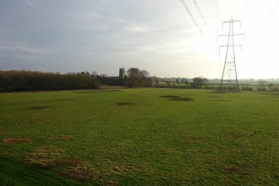
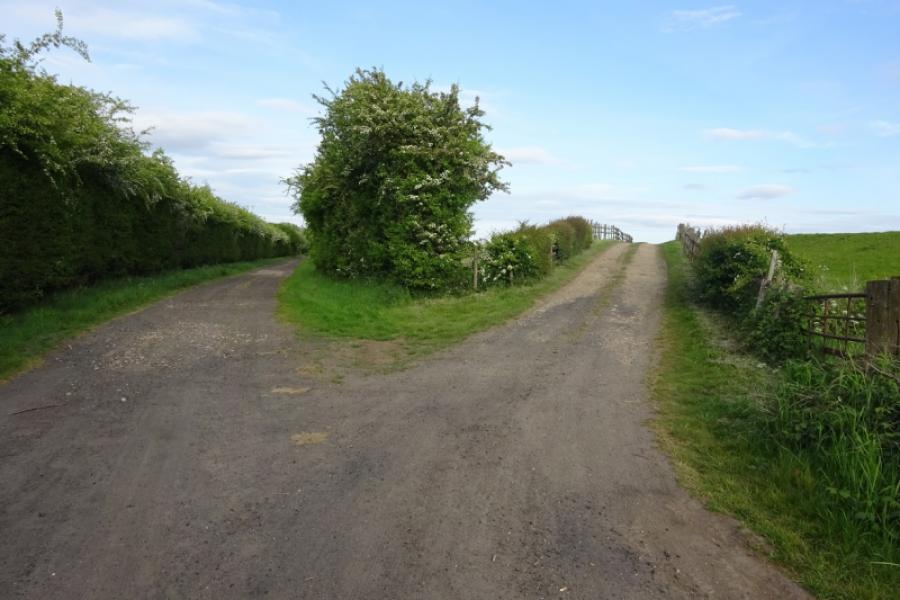
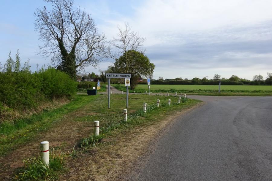
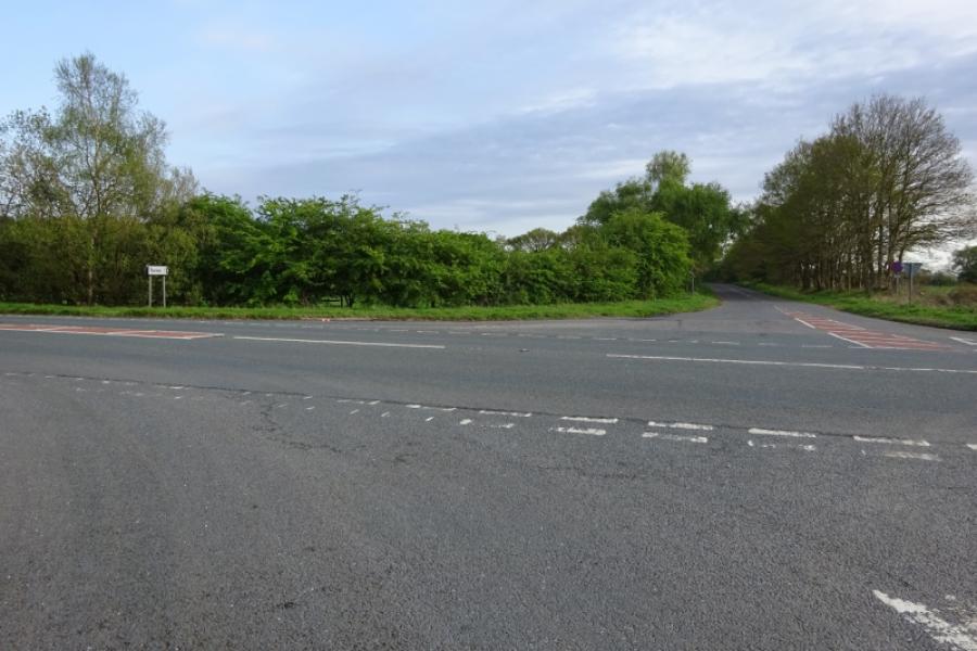
(3) Turn right and follow the often busy road through Torksey Lock, where the Foss Dyke canal joins the River Trent, and continue to Fenton. Take the right turn for Kettlethorpe and Laughterton. Follow the road to reach a left turn into the hamlet of Kettlethorpe. Note a wide track going right where the road goes left; you will soon be returning to take this track. Continue to the end of the road, passing the church then return and take the track going off the bend passed earlier. Follow the track to a corner where it goes left then it is a long straight, Westmoor Lane, to reach the A57. The track is a bit bumpy in places and would be muddy after rain but it eventually reaches the A57 at a crossroads.
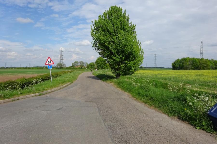
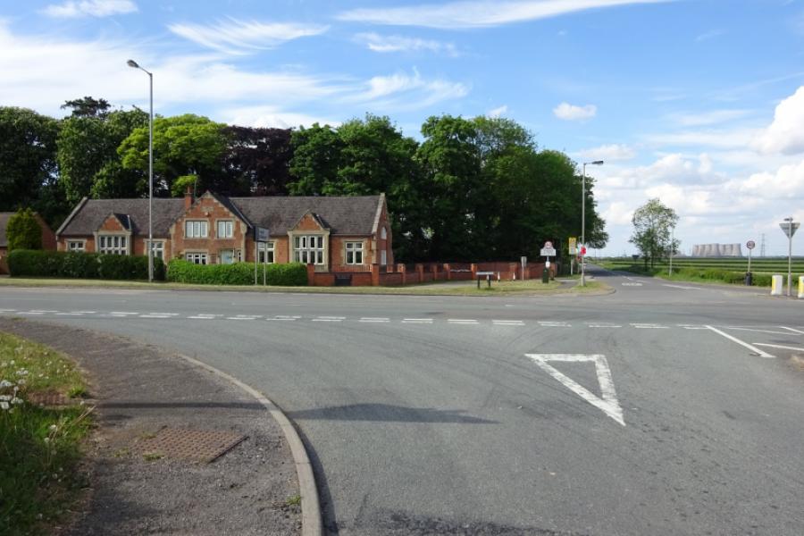
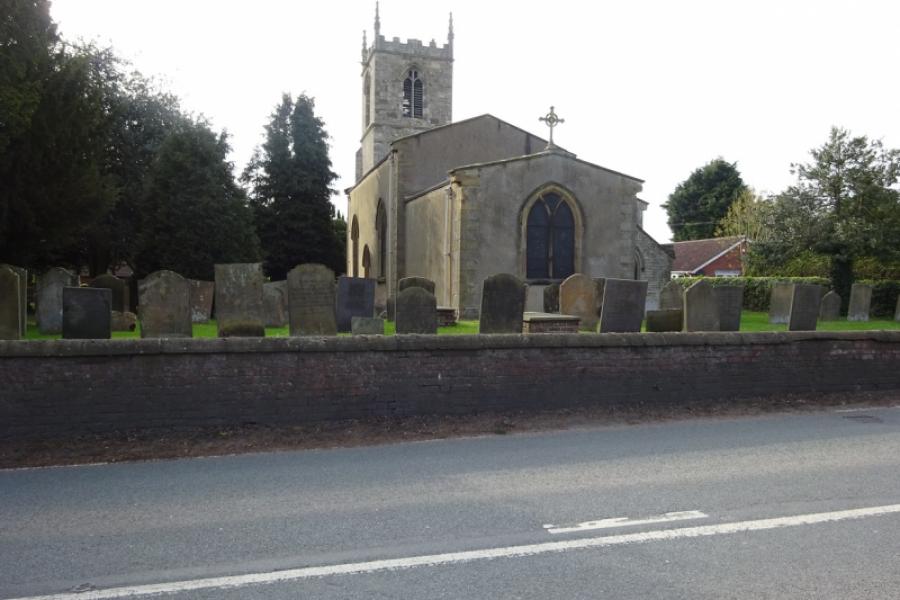
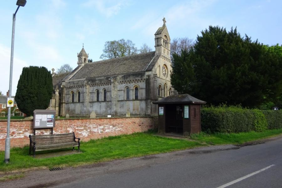
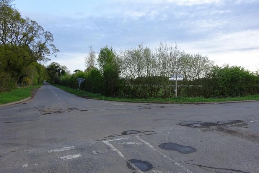
(4) Cross over and follow the meandering road through the village of Thorney and its interesting church. Continue after the village, passing a left turn, and reach a crossroads. Go straight across, for Wigsley, and soon get to the foot of the bridge going over the old railway now the sustrans track. At the foot of the bridge is a farm track forking off left which can be muddy in wet weather. Follow the track around a bend to reach a footpath, about 20 m long, which takes you onto the sustrans track. Turn left and follow the track back towards Skellingthorpe Community Centre. The noticeable drain crossed is Ox Pasture Drain before passing the old Harby station, exit for Harby village and going under Harby road bridge. Further on, a marker is passed which is the county boundary between Nottinghamshire and Lincolnshire. Pass under the Doddington road bridge then continue to Skellingthorpe.
Notes
(a) This cycle ride took place in May, 2020
Photos - Hover over photo for caption. Click on to enlarge. Click on again to reduce.


![]()
![]()


![]()


![]()

![]()
![]()
![]()
![]()
![]()
![]()
![]()


![]()
![]()
![]()
![]()
![]()
![]()
![]()


![]()
