Get Lost Mountaineering
You are here: England » Lincolnshire » Lincoln Area Cycle Rides » From Skellingthorpe going West towards Harby but NOT crossing the Fledborough Viaduct over the River Trent
Skellingthorpe Harby Eagle N & S Scarle Collingham Winthorpe Brant Broughton
Skellingthorpe Harby Eagle N & S Scarle Collingham Winthorpe Brant Broughton
Start/Finish
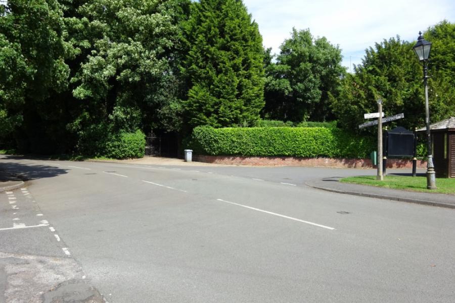
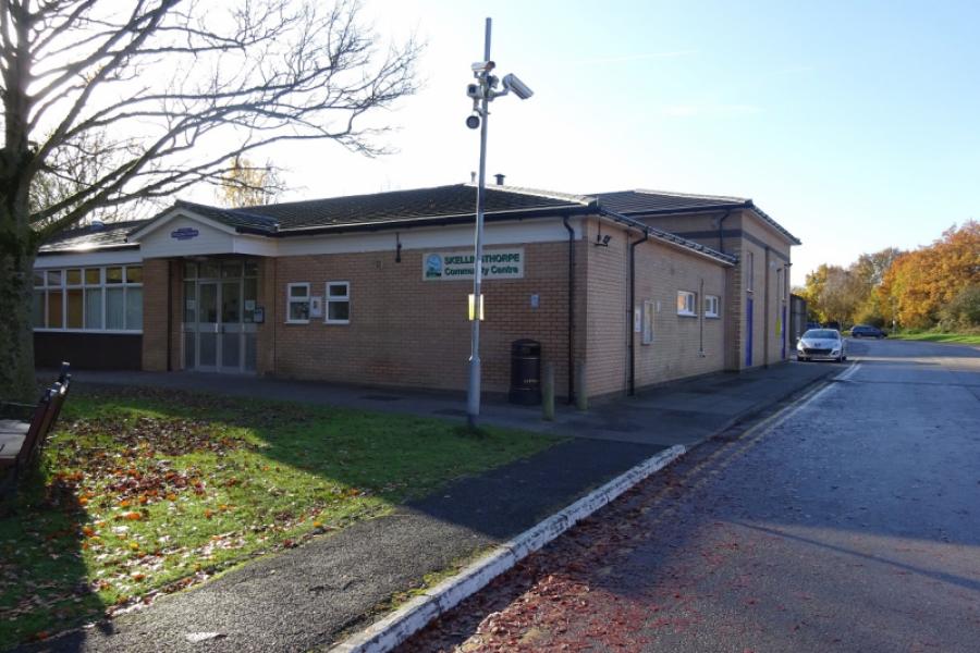
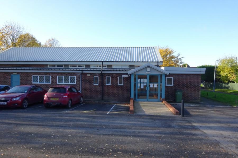
Skellingthorpe community centre where there is usually ample free parking. This is most easily reached from the Skellingthorpe roundabout on the A46 Lincoln bypass. Take the road into Skellingthorpe and the car park is roughly where the cycle track from Lincoln crosses the road.
Distance/Time
64 km/40 miles About 4 hours
Introduction
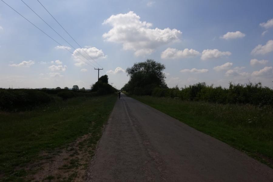
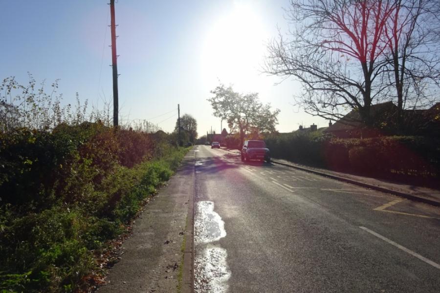
This is a pleasant cycle although it does use some minor and major roads as well as a proper cycle track which is also a popular footpath so keep an eye open for pedestrians. The track from after Collingham to Winthorpe can be rough in places. The A1133 after Winthorpe can be busy but this is quiet compared to the A17, the main road between Newark and Sleaford, which can be very busy busy especially with heavy lorries thundering along. Some will find this section scary. The return from Brant Broughton follows the whole length of Brant Road, about 16 km/10 m, which becomes increasingly busier as it nears Lincoln. From the end of Brant Road, the most direct route is followed back to Skellingthorpe through the south of Lincoln.
Route
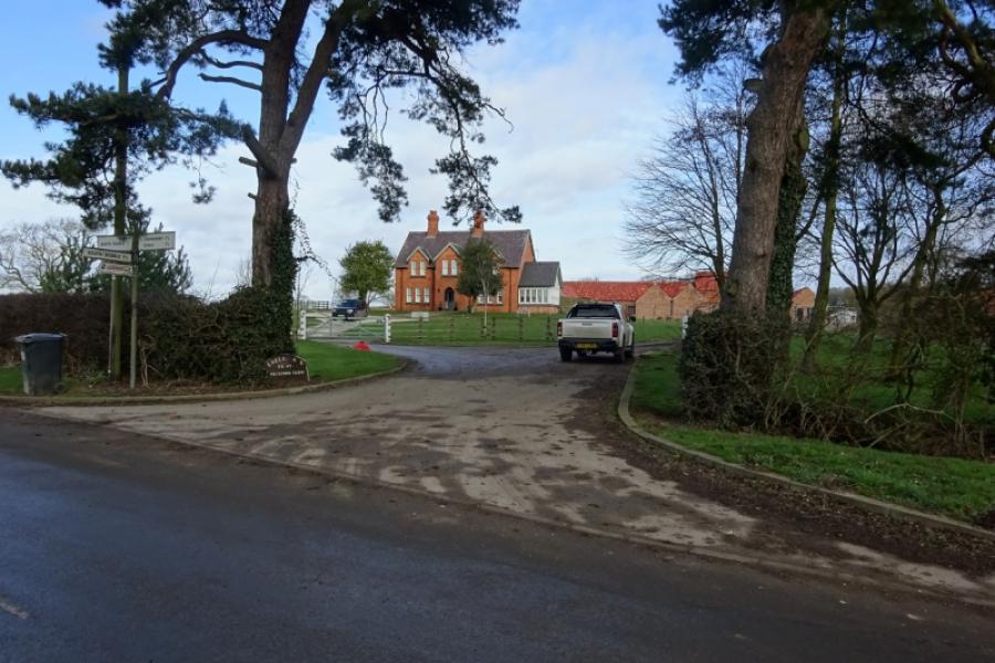
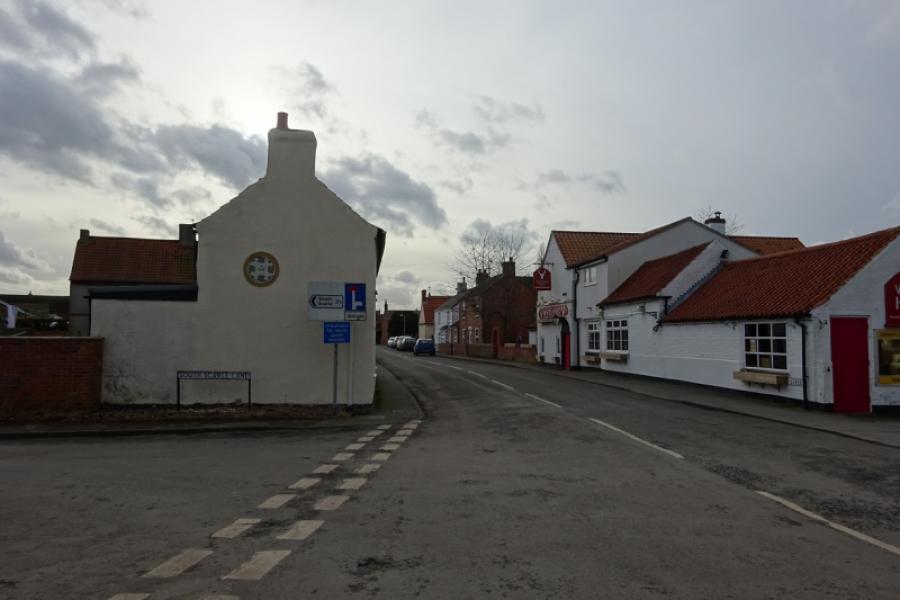
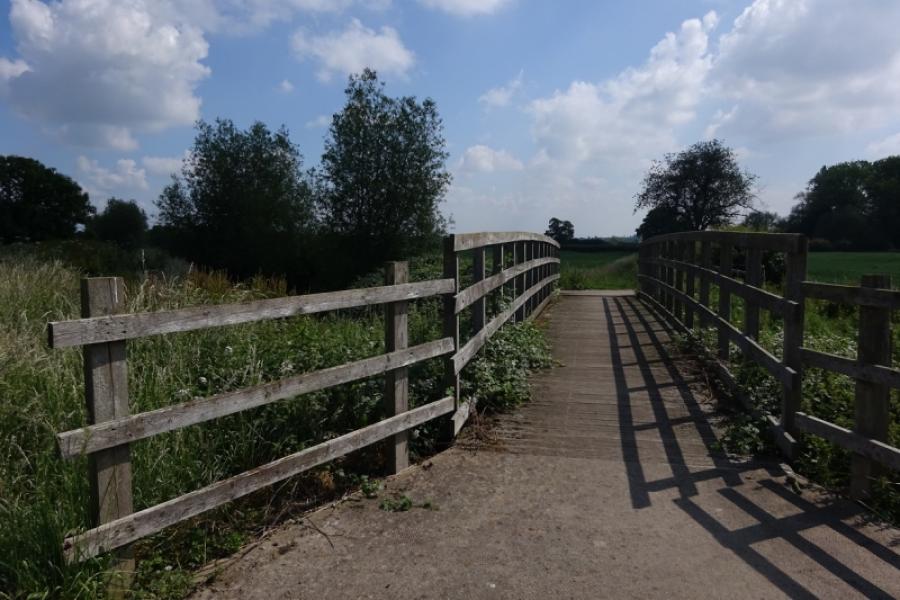
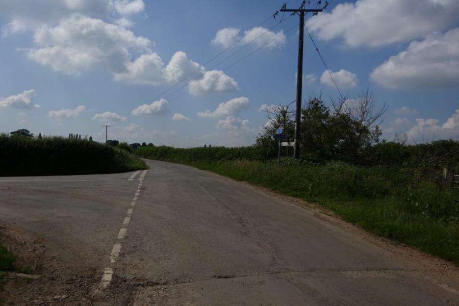
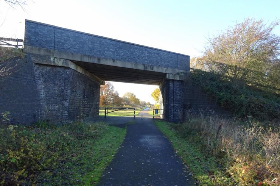
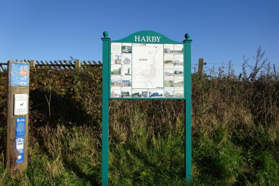
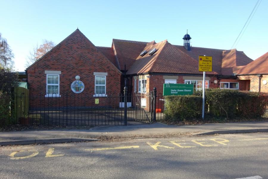
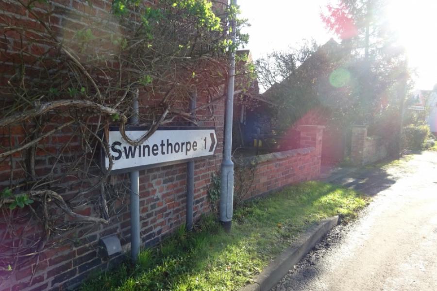
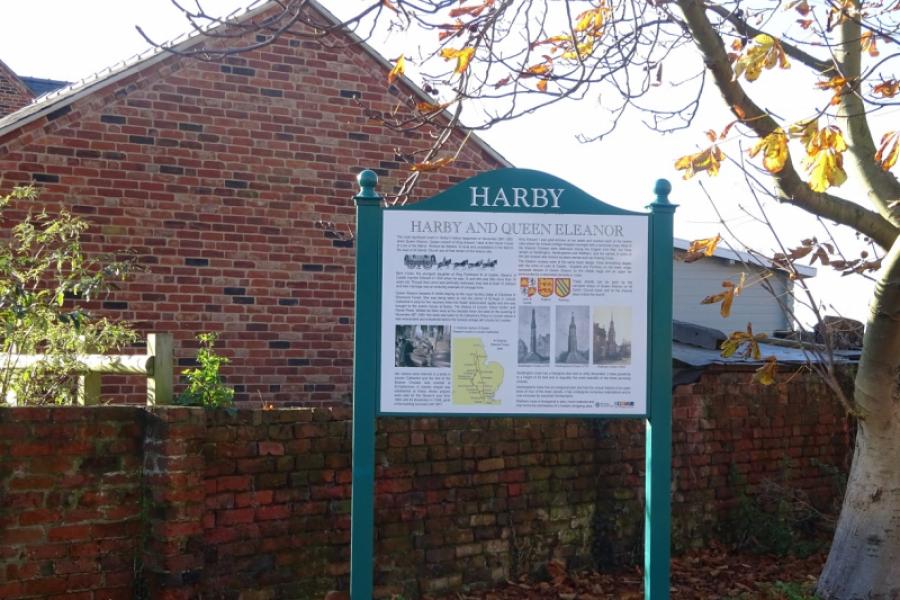
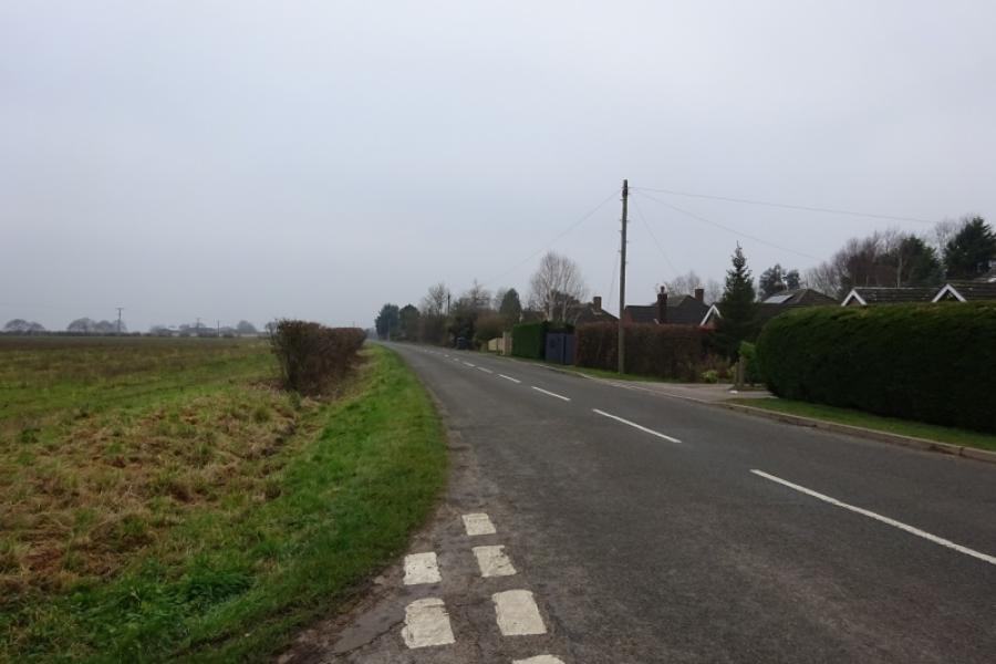
(1) Follow the cycle track from behind the community centre in the direction of Harby. Soon leave Skellingthorpe behind. After just over 3 km, go under the Doddington Road bridge. Continue for about another 1.5 km to go under the Harby Road bridge. Immediately after, turn left (a tight reverse fork) and follow it up to the road. Turn right and head towards Harby village, passing Queen Eleanor's Primary School. Take the next left, signposted for Swinethorpe, and follow the road around to the right and past the Bottle and Glass pub. Continue to the corner then go straight ahead for Swinethorpe.
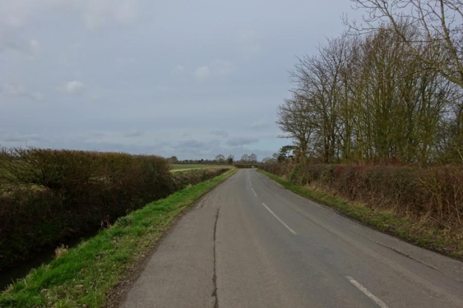
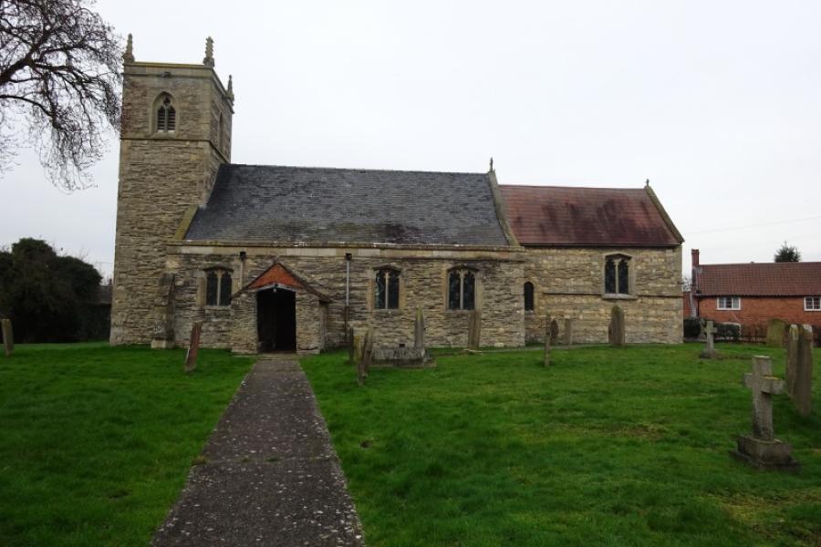
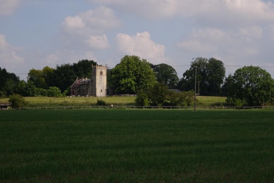
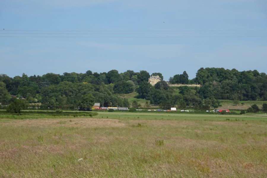
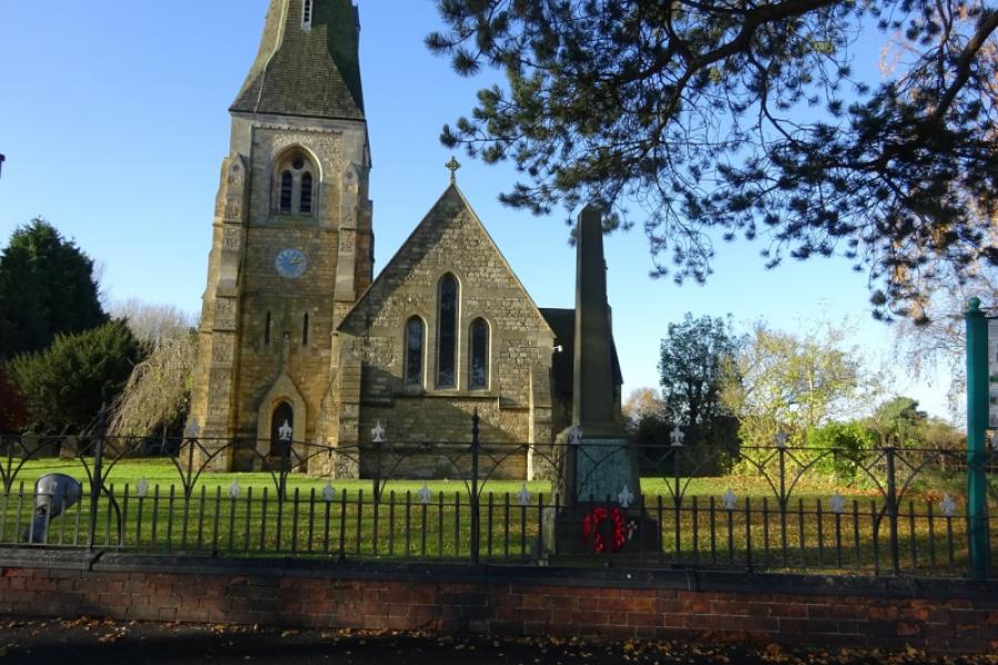
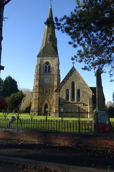
(2) Follow the road past the church with the high spire and continue following the road. Swinethorpe is just a few houses after a double bend where the road surface can be very rough. After Swinethorpe the road goes left at a corner. From here it is slightly uphill until Eagle Moor is reached. There are good views of Doddington Hall from the first straight section and the bend at the end of it. The road then meanders before passing some houses and horse fields then joining the main road from Lincoln to Eagle at Eagle Moor crossroads.
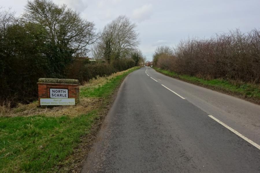
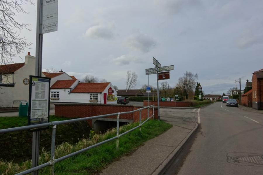
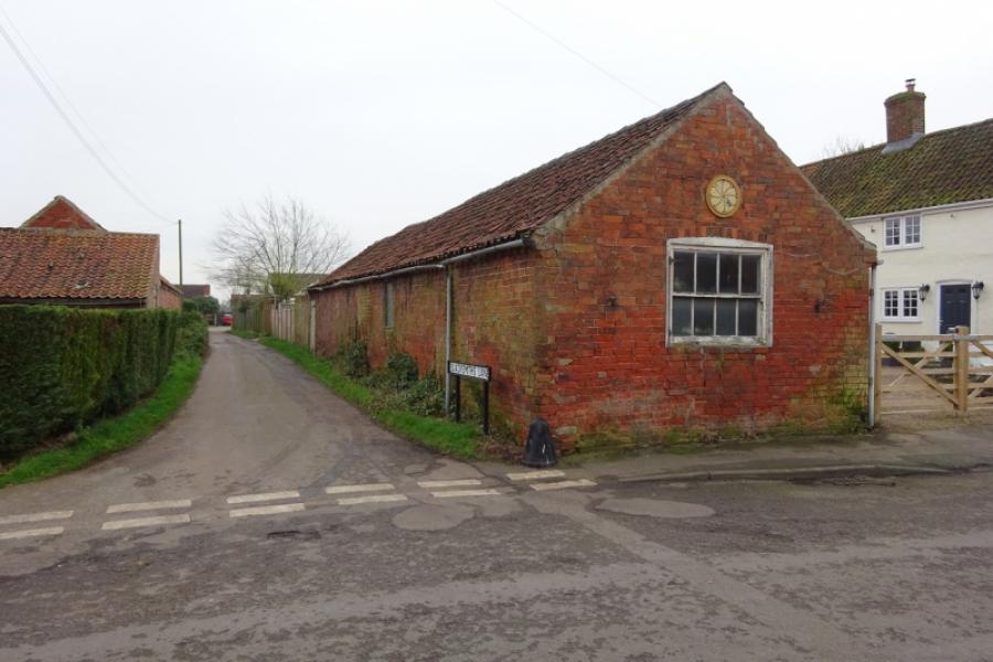
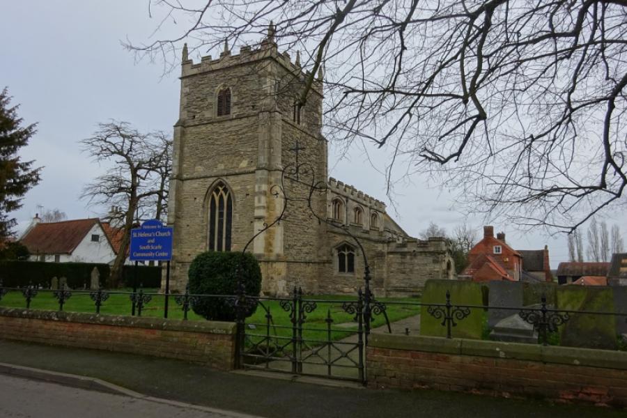
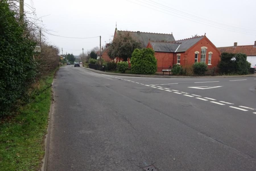
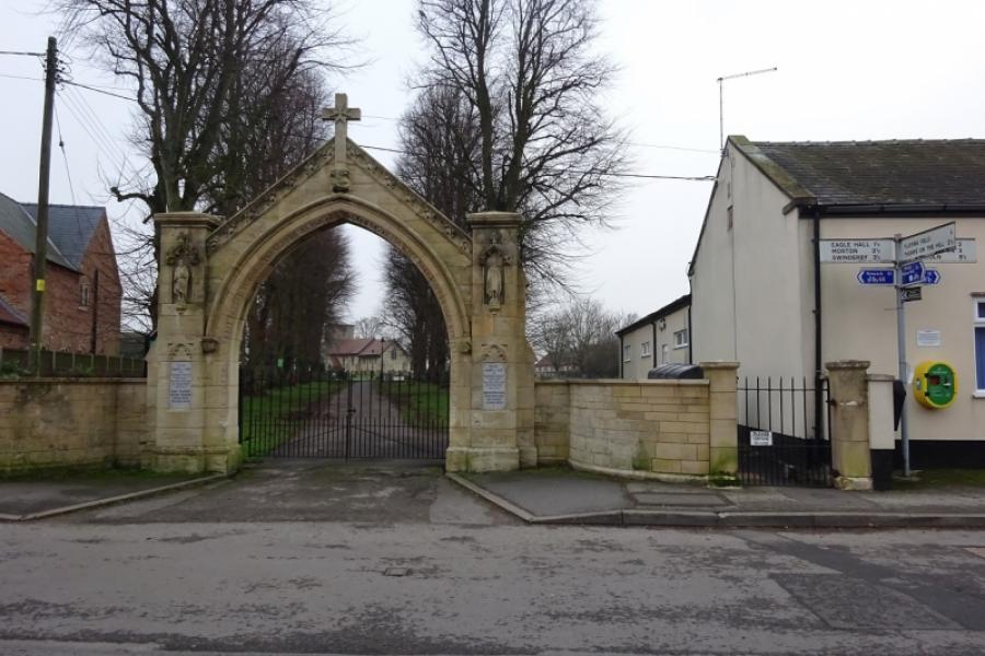
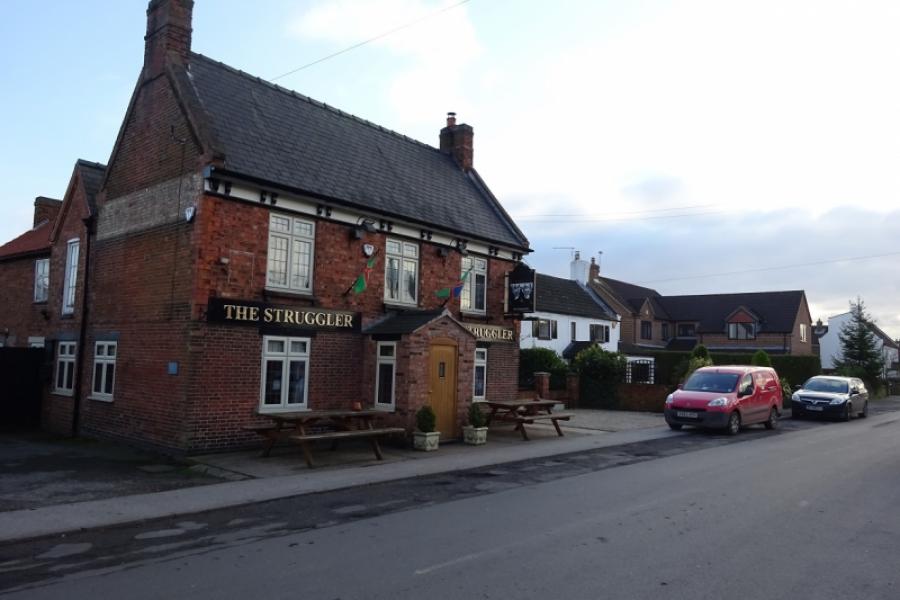
(3) Turn right, for Eagle. Reach the village and go past Scarle Lane, on the right. Reach the village hall next to the distinctive entrance to the church. Continue ahead, passing The Struggler (pub) and follow the road through Eagle. There is a left hand bend just before the end of the village followed by some downhill which leads, after a while, to a T junction. Turn right, towards North Scarle, and follow the winding road to reach the hamlet of Eagle Hall. Turn right for North Scarle and pass the entrance to Eagle Hall House (on the left) then reach a T junction by Preston's Farm (on the right). Continue ahead towards North Scarle, about a mile. Reach the crossroads, close to the White Hart in North Scarle. Turn left and go down the main street past the pub to reach the church. Retrace but only as far as the narrow Blacksmiths Lane which connects to the road for South Scarle without having to go back as far as the junction. Turn right at the end of Blacksmiths Lane and follow the road out of North Scarle. Continue ahead at a junction where a road goes left for Eagle (Eagle Hall actually). Reach a T junction at the edge of South Scarle. Turn right and go into the village which is very picturesque and wouldn't look out of place in the Cotswolds. Follow the road through the village to the church where the road, Church Lane, goes right and soon leaves the village behind. Turn left at a T junction just before a bus shelter (on the right) and take the road signed for Collingham.
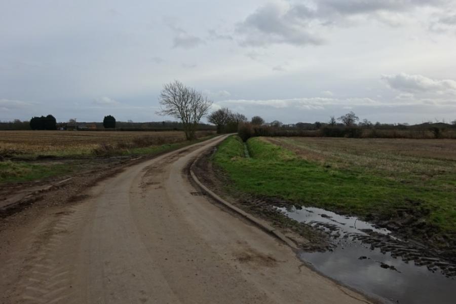
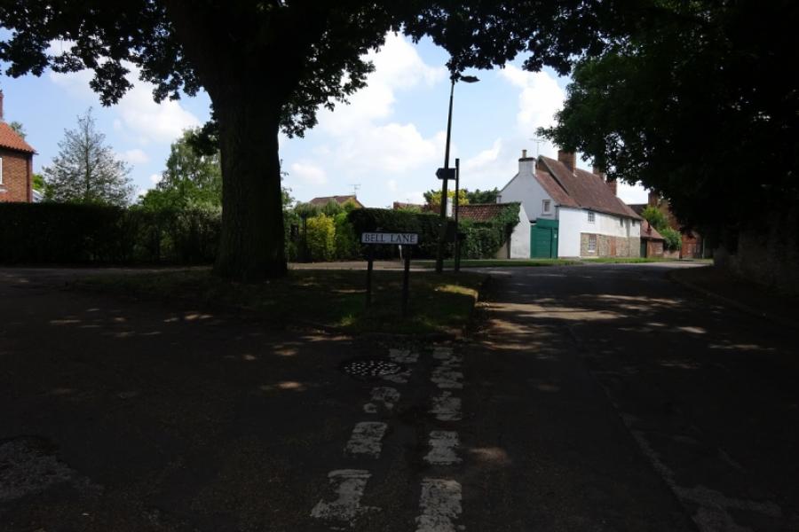
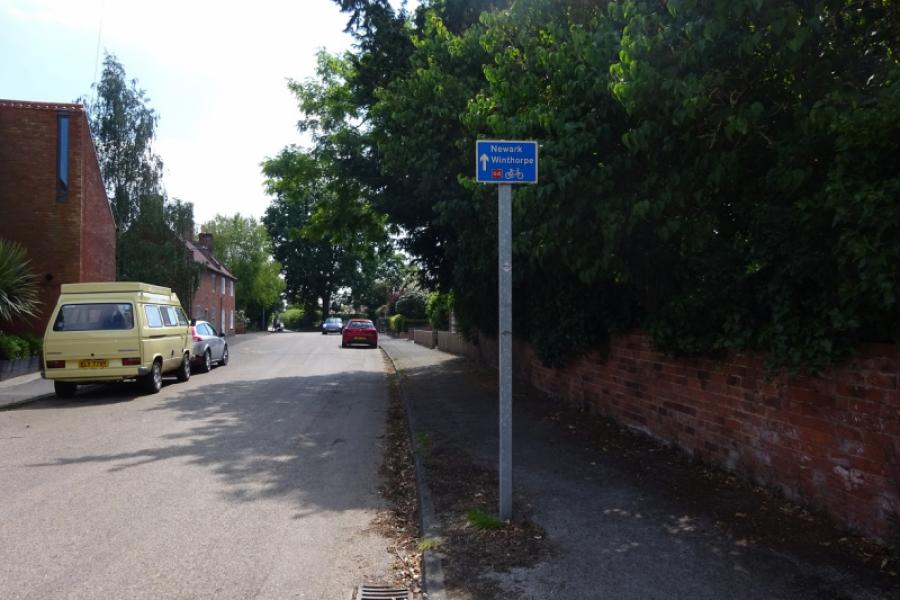
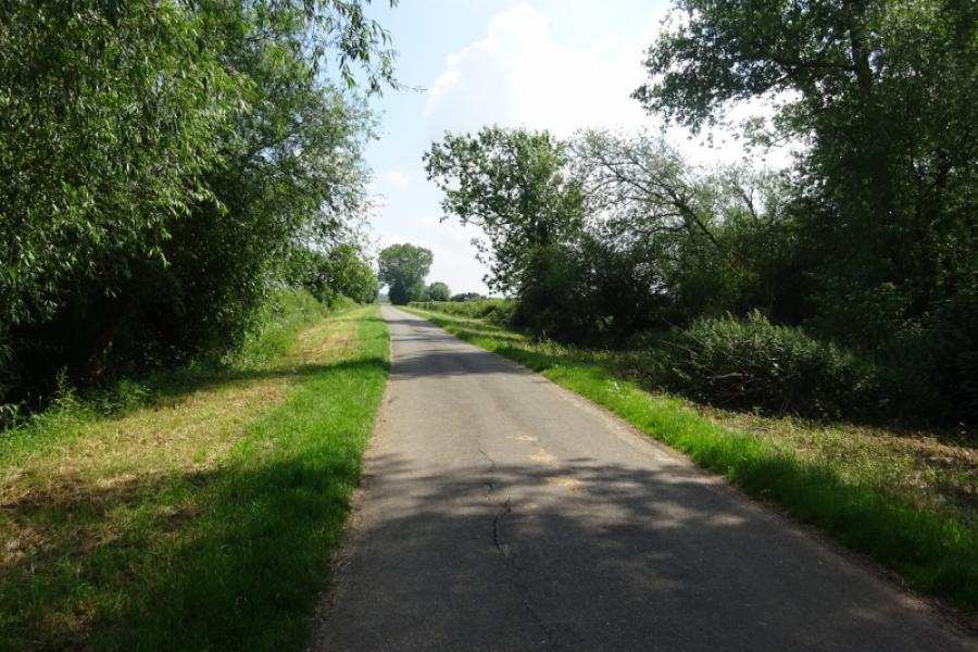
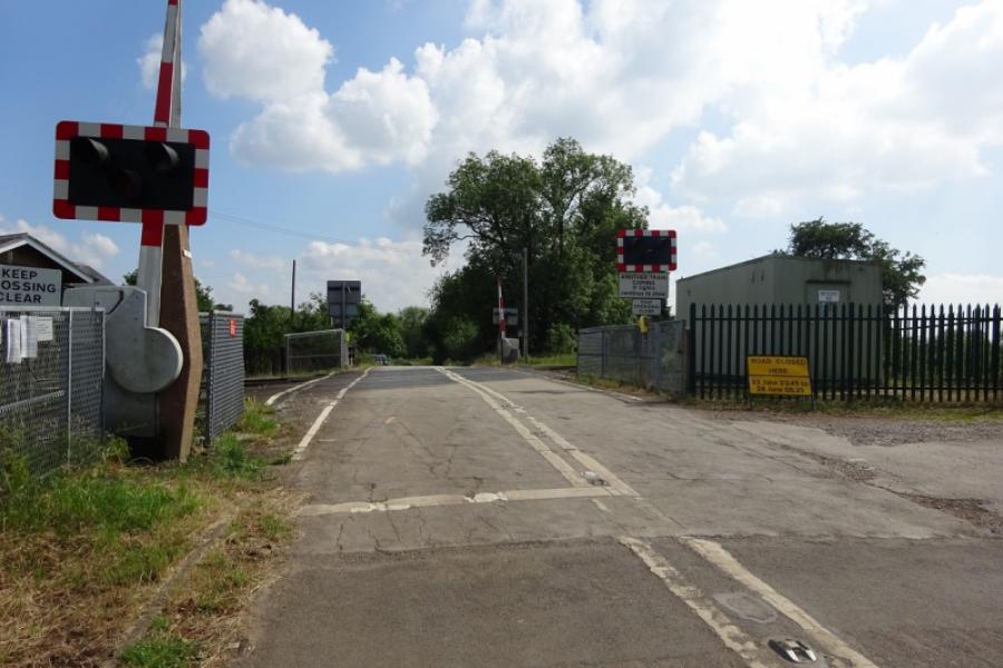
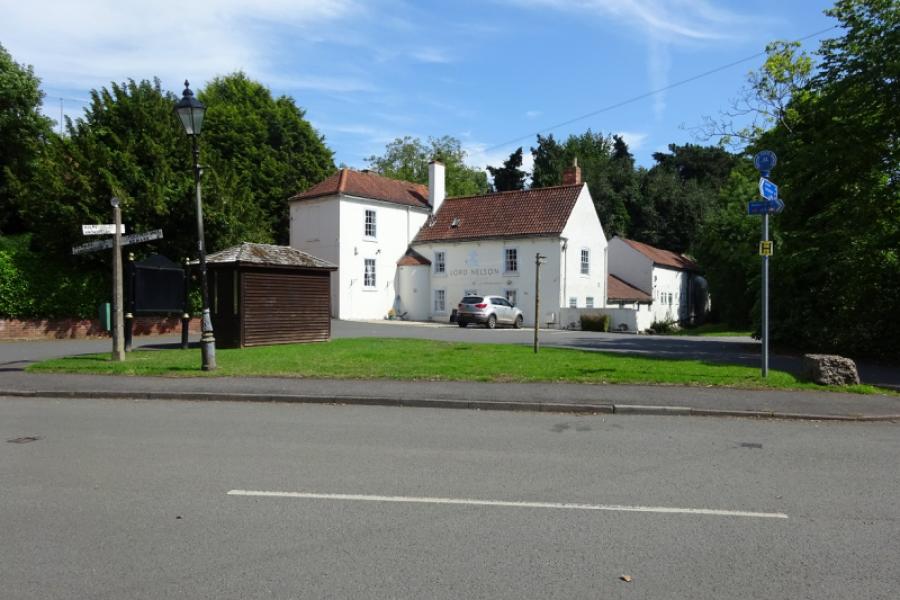
(4) Follow the road which soon climbs up a long, gently inclined hill which allows a free wheel down its other side to reach the (unsigned) outskirts of Collingham at the 30 mph signs. Continue to a T junction then turn right and continue to the main road, A1133, through Collingham. Cross over the main road and follow the road around the back of Collingham, passing a church. (If you need refreshments, you will need to turn left and go through Collingham where there are shops and a Co-OP then find your way tot he back road). Reach a triangle (Bell Lane) and fork right. Reach another triangle and fork right again – both are well signed. Continue to Cottage Lane and follow it out of Collingham. Reach a left hand bend where a partially hidden sign directs you, right, into the RSPB reserve. Follow the track to the entrance to the reserve where the track goes left and stays outside the reserve. Follow the meandering track, rough in places and looks like it would be boggy in wet weather. Cross a road near a quarry and continue to reach the road from Langford to Holme. Turn right, towards Holme, and follow the road to reach a left turn for Winthorpe. Follow this road, over a level crossing, to reach a T junction in Winthorpe, at the Lord Nelson public house. Turn left and follow the road through Winthrope village to join the A1133 Newark to Gainsborough road. Turn right, towards Newark, and reach a major roundabout on the A46.
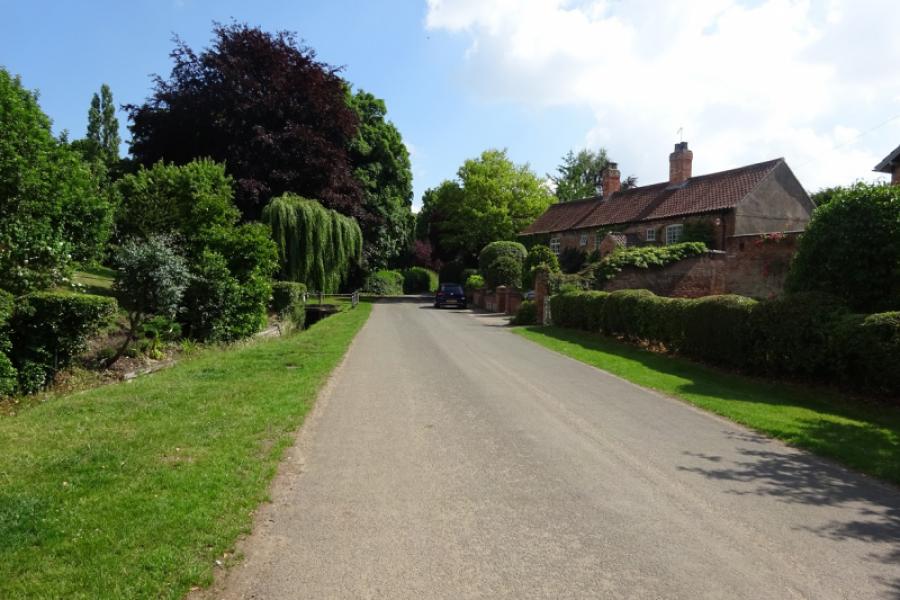
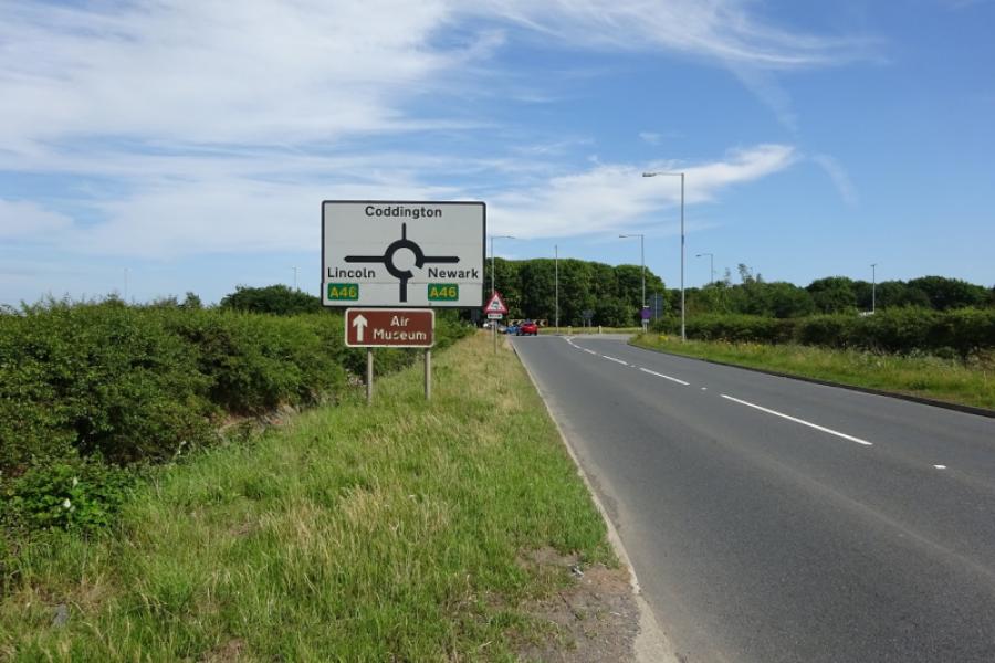
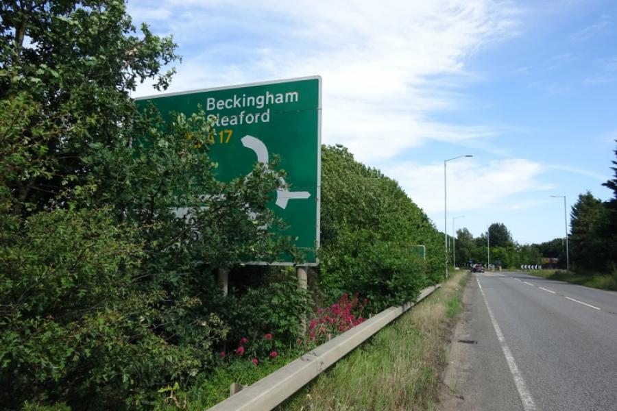
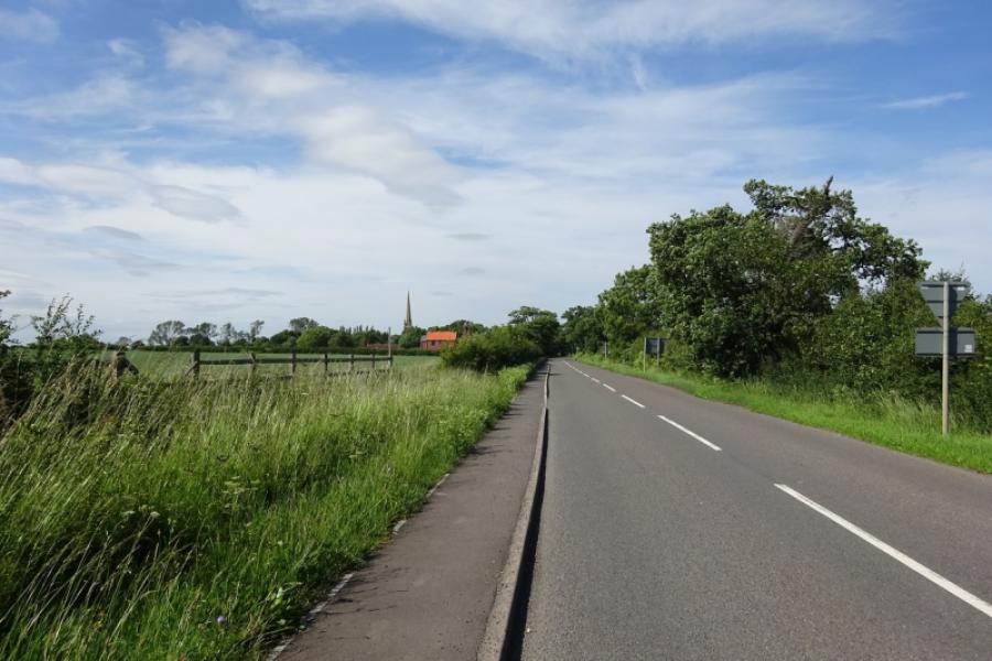
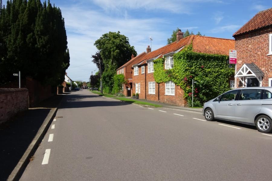
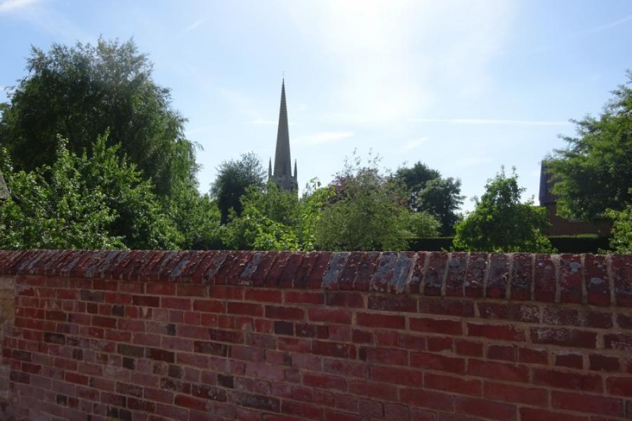
(5) Go straight ahead, for Coddington, and pass Newark Golf Centre then Newark Showground. Continue to join the very busy A17 and turn left, towards Sleaford. Reach the Coddington roundabout and continue ahead, still on the A17, there is about another 5 miles to go! Cross the River Witham then pass the turnings for Beckingham and continue to reach the left turn for Brant Broughton. Go straight through the village and follow signs for Lincoln with the Lincoln Edge always to your right. The road is generally straight with the odd bend. Pass the turning for Carlton le Moorland. About a mile further on, cross the River Brant, just before a staggered crossroads where there is a right turn for Navenby. Continue ahead and pass the right turns for Boothby Graffoe and Coleby before reaching the T junction where you join the road from Aubourn to Lincoln. Turn right and follow the road around the left hand bend and continue towards Lincoln with the Cathedral in view on a clear day. Pass a minor right turn for Waddington, then the left turn for North Hykeham followed by the main right turn for Waddington (despite the road signs, most of Waddington is up the hill!)
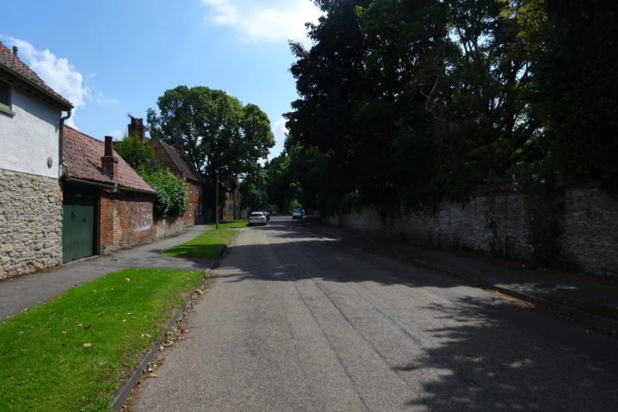
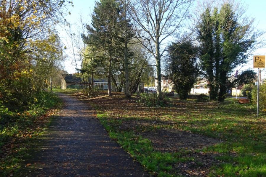
(6) Continue, on Brant Road, which is now built up. Just after the large, set back, medical centre (on the right), turn left into Calder Road. Follow the road, around a bend, until you can take Syston Grove – in the same direction. Look for a wide, unsigned, path on the left at right angles to the road. Take this which goes through Syston Woods and is the best surface of the whole route. This track leads to the bridge over the River Witham on Newark Road. Cross over at the obvious traffic lights across the bridge and turn right into Rookery Lane. Follow this, passing Boultham Park, to a mini roundabout. Continue ahead onto Skellingthorpe Road to reach the traffic lights at Tritton. Continue ahead, still on Skellingthorpe Road. The footpath is a designated cycle track. Pass Hartsholme Park and continue ahead at the Birchwood Avenue traffic lights. Recah theg Skellingthorpe roundabout on the A46 Lincoln bypass. Cross over and follow Lincoln Road back into Skellingthorpe.
Notes
(a) This cycle ride took place in June, 2020.
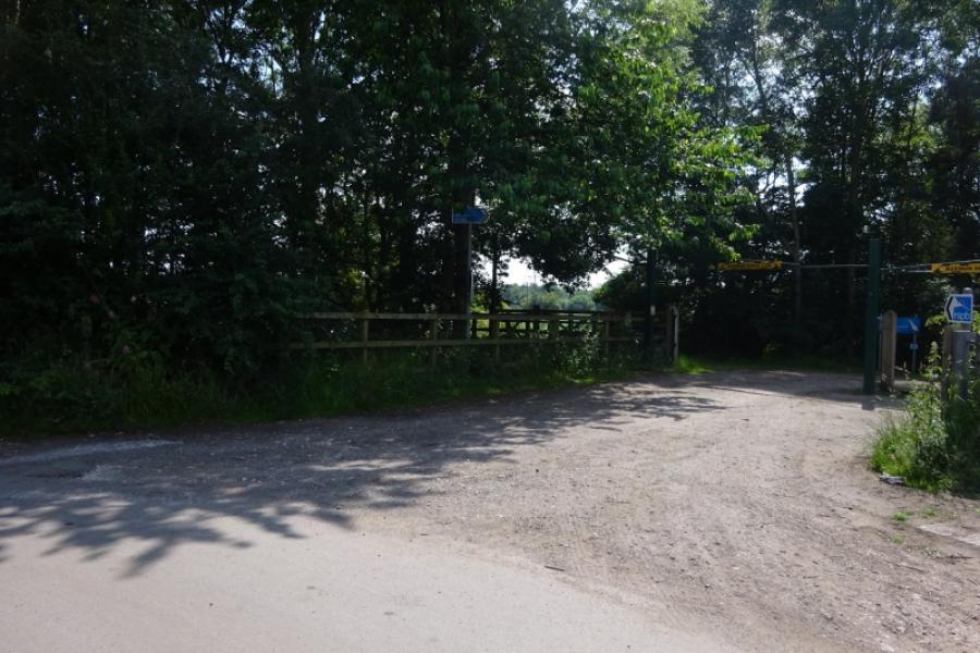
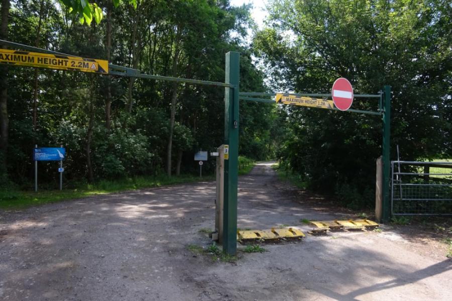
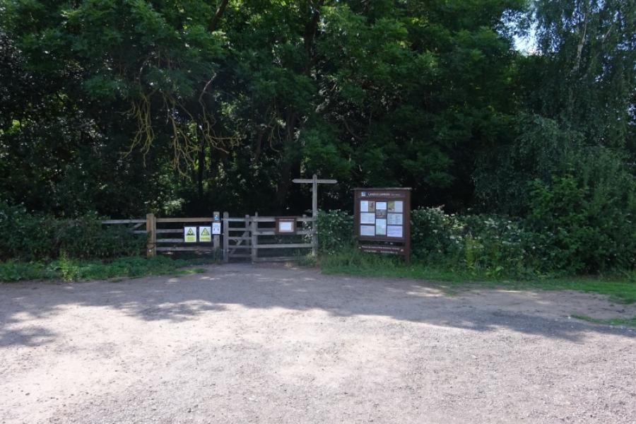
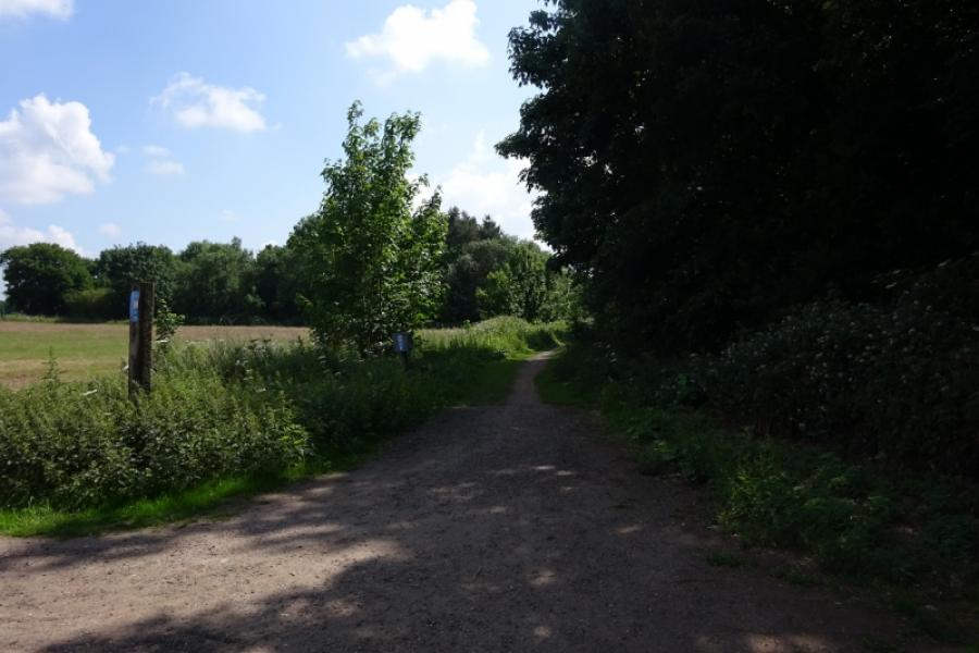
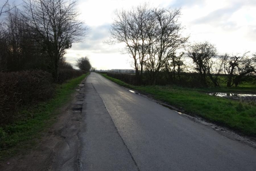
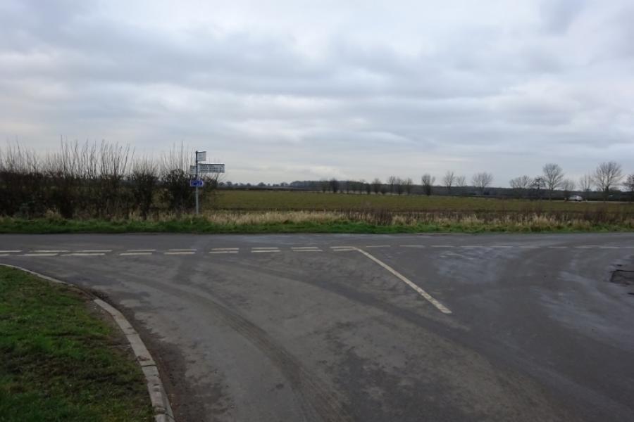
Photos - Hover over photo for caption. Click on to enlarge. Click on again to reduce.


![]()
![]()


.JPG)
.JPG)
.JPG)
.JPG)