Get Lost Mountaineering
You are here: England » Lincolnshire » Lincoln Area Cycle Rides » From Skellingthorpe going West towards Harby AND crossing the Fledborough Viaduct over the River Trent
Skellingthorpe Fledborough High & Low Marnham Normanton Grassthorpe Sutton Carlton Cromwell N & S Muskham Newark Collingham Swinderby Meardsall Eagle Barnsdale Whisby Doddington
Skellingthorpe Fledborough High & Low Marnham Normanton Grassthorpe Sutton Carlton Cromwell N & S Muskham Newark Collingham Swinderby Meardsall Eagle Barnsdale Whisby Doddington
Start/Finish
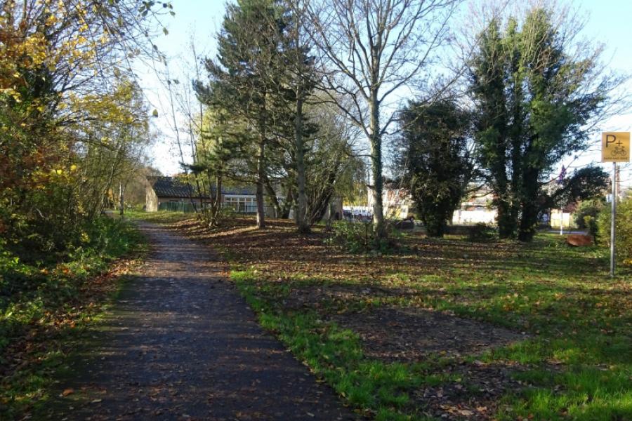
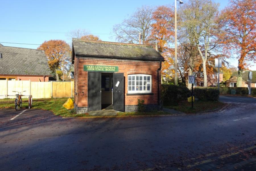
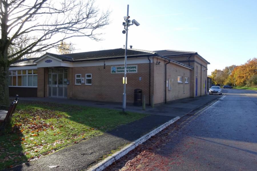
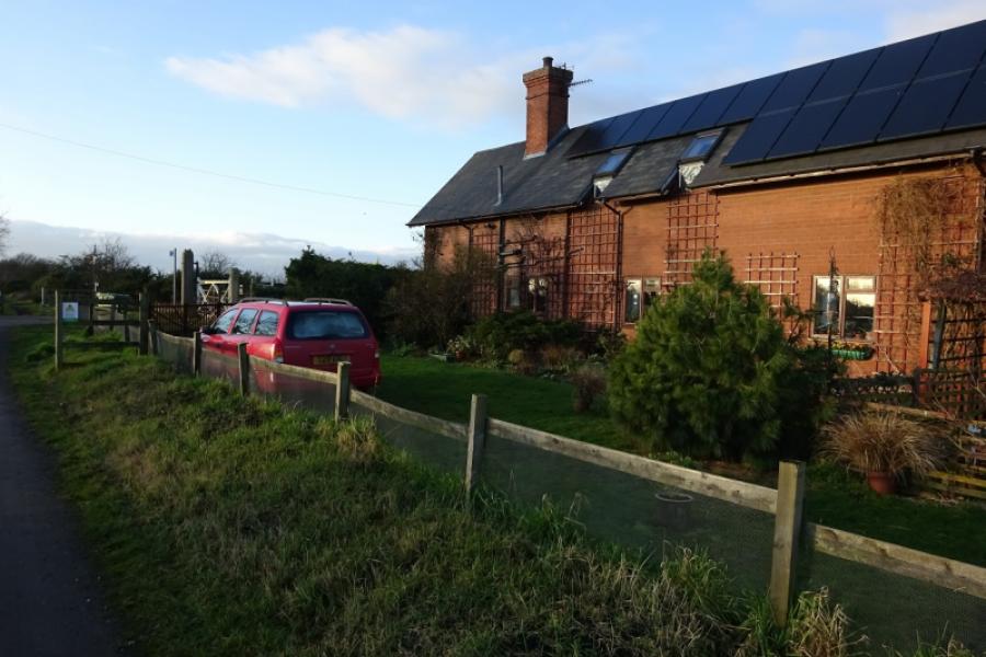
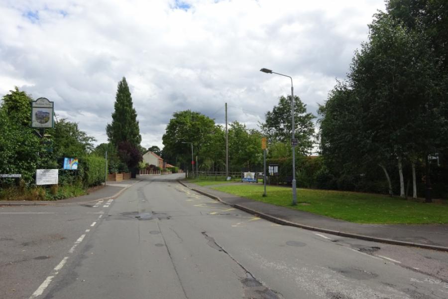
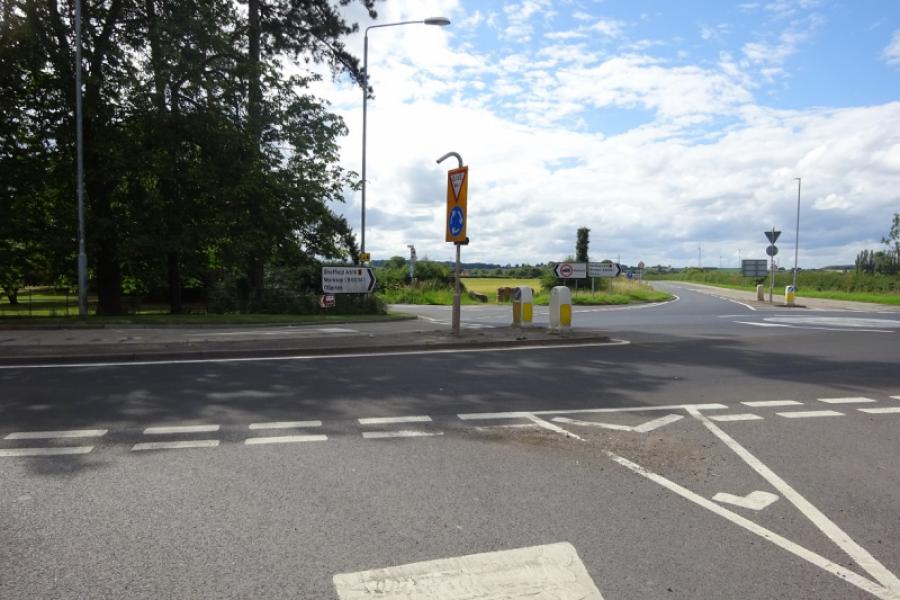
Skellingthorpe community centre where there is usually ample free parking. This is most easily reached from the Skellingthorpe roundabout on the A46 Lincoln bypass. Take the road into Skellingthorpe and the car park is roughly where the cycle track from Lincoln crosses the road.
Distance/Time
69 km/ 43 miles About 4 – 5 hours
Introduction
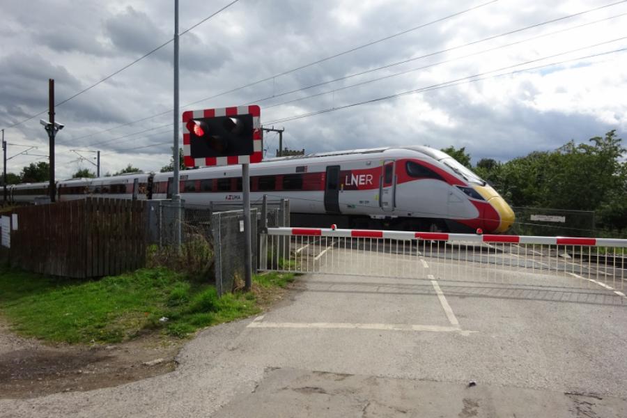
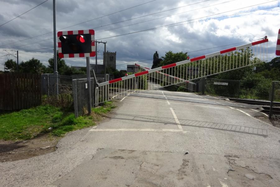
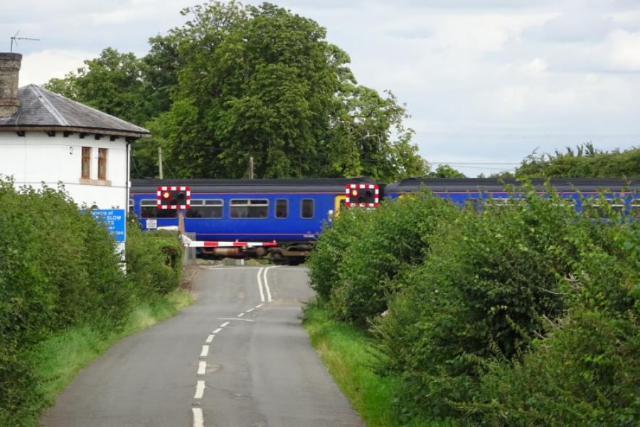
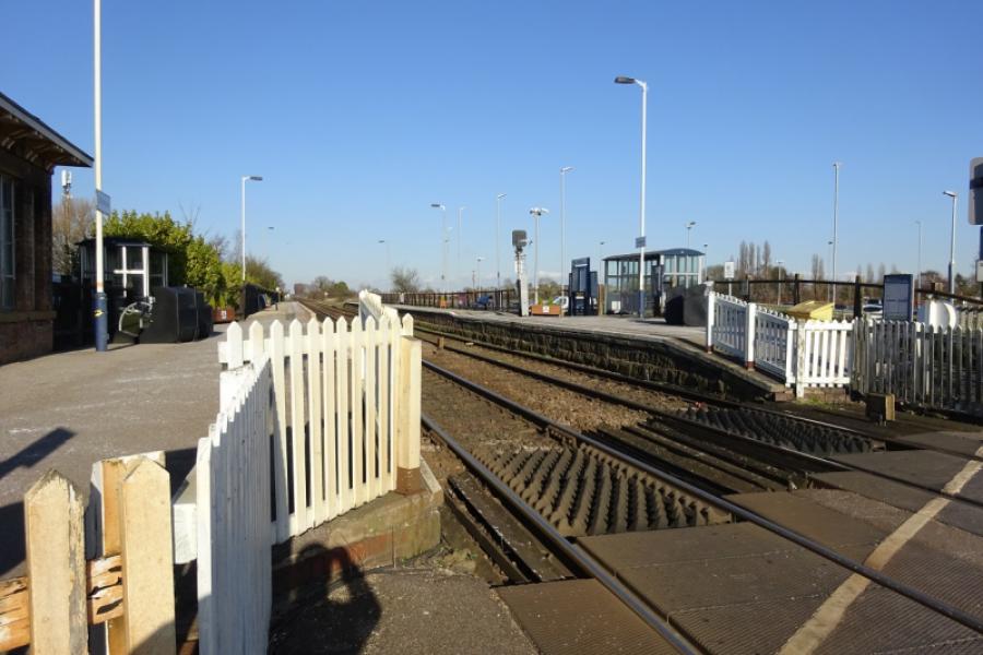
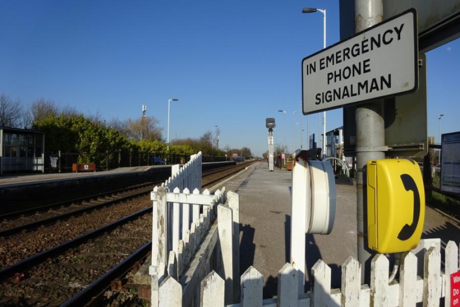
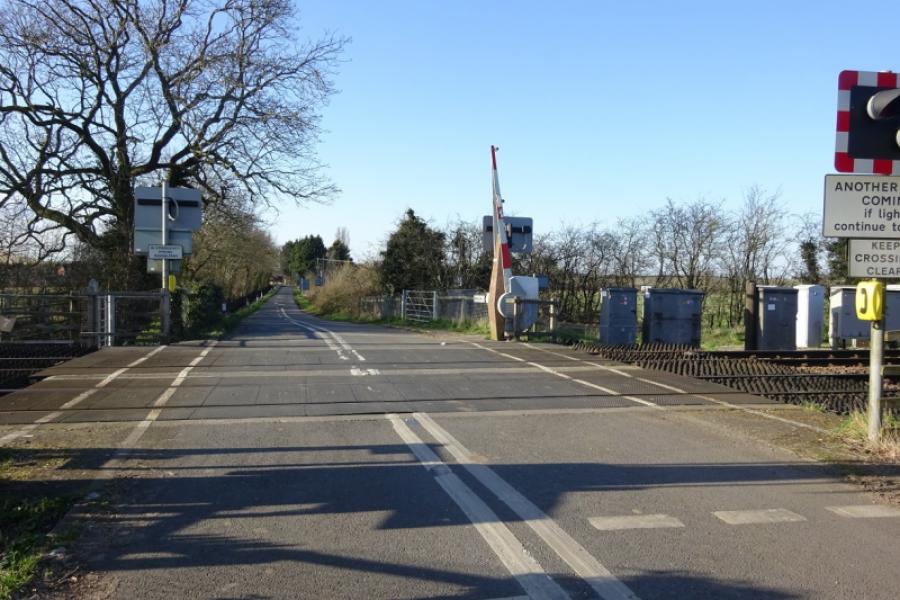
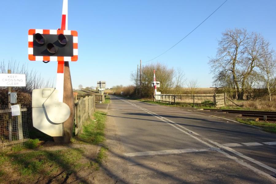
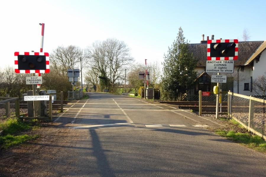
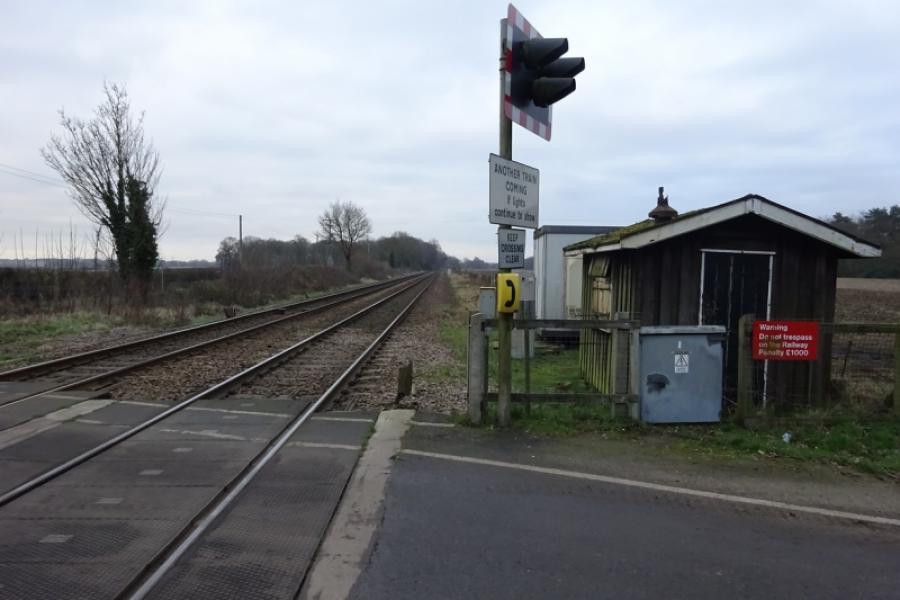
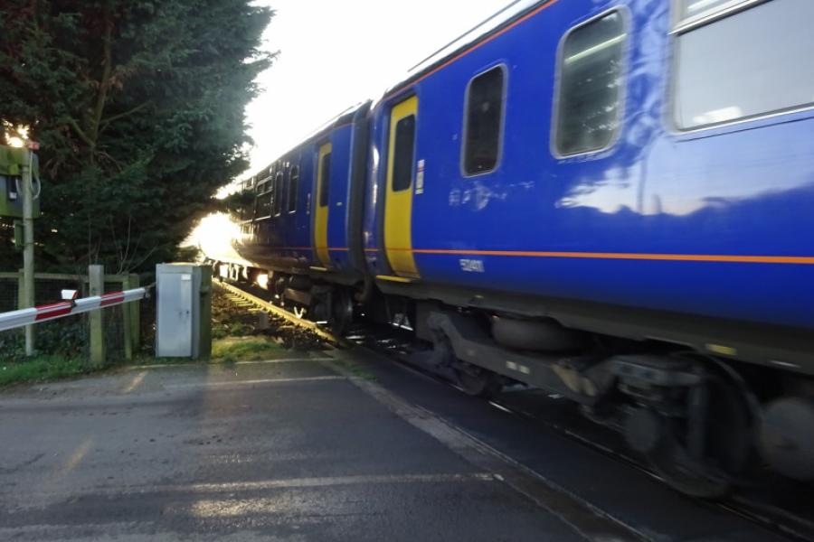
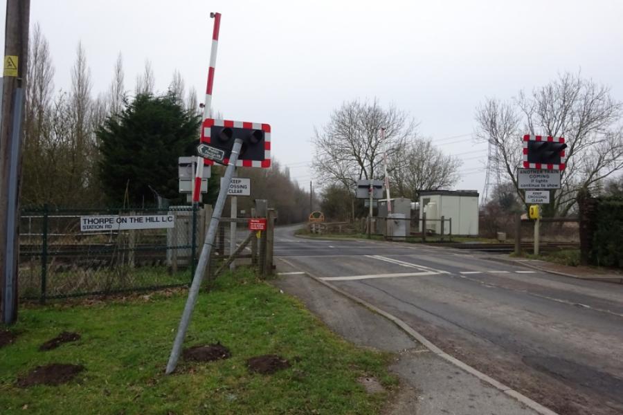
This is a pleasant cycle although there are places where it is easy to go wrong such as by the A1. From Skellingthorpe to the Harby junction, the sustrans route is a good tarmac track but less good from Harby to Fledborough where the sustrans track stops following the dismantled railway. and it is more like a path in places. After Fledborough, the route essentially follows the River Trent, often at a distance, into Newark passing through several villages on the way. A short section is on a cycle track on the A1. The return passes through a nature reserve to Collingham then continues via Swinderby, Meardsall, Eagle Barnsdale, Whisby and Doddington. This is a route for railway enthusiasts as it crosses the east coast main line twice (level crossing and bridge) and the Newark Castle to Lincoln line ten times, all at level crossings, as well as passing by, or very close to, five stations.
Route
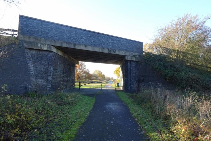
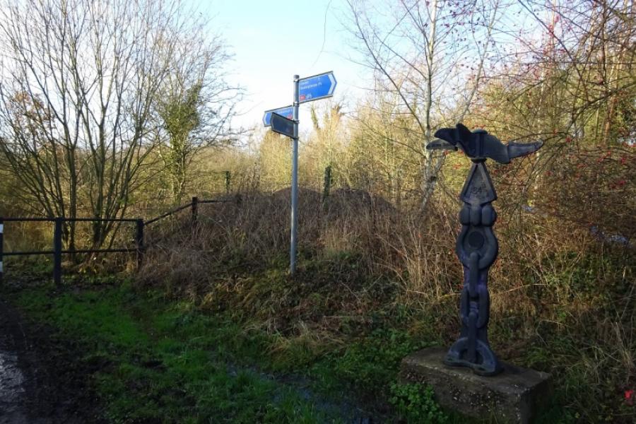
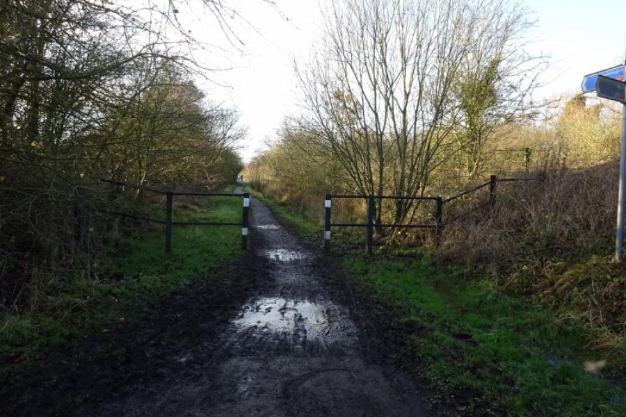
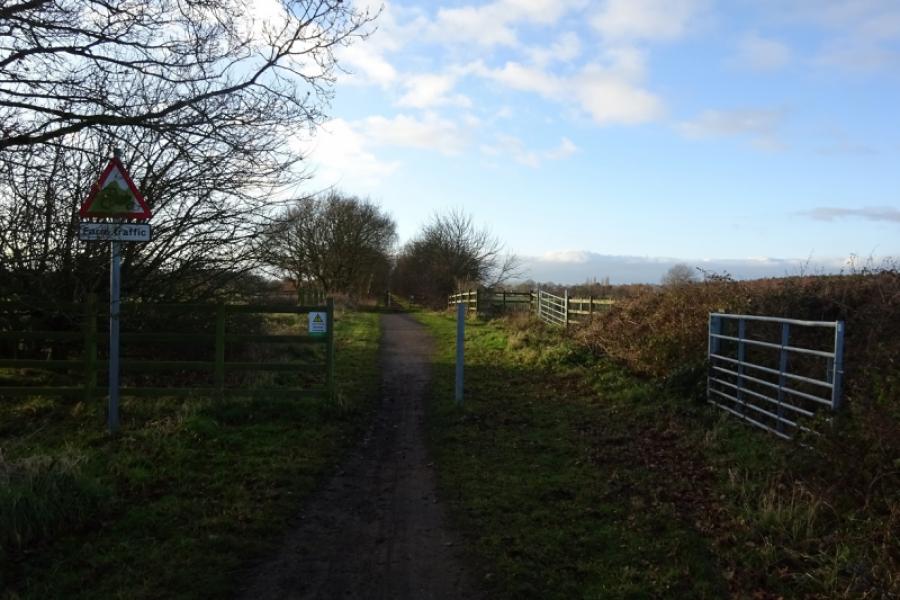
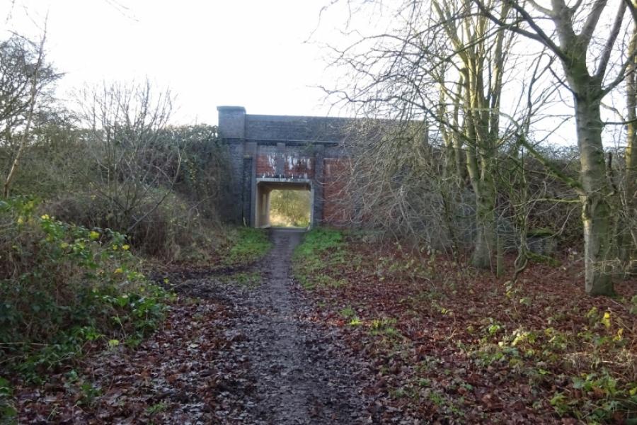
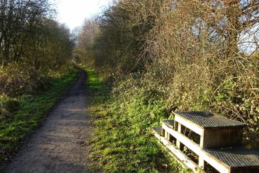
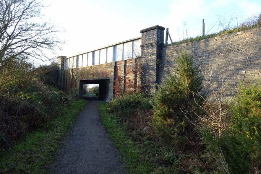
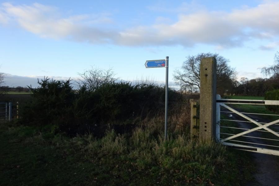
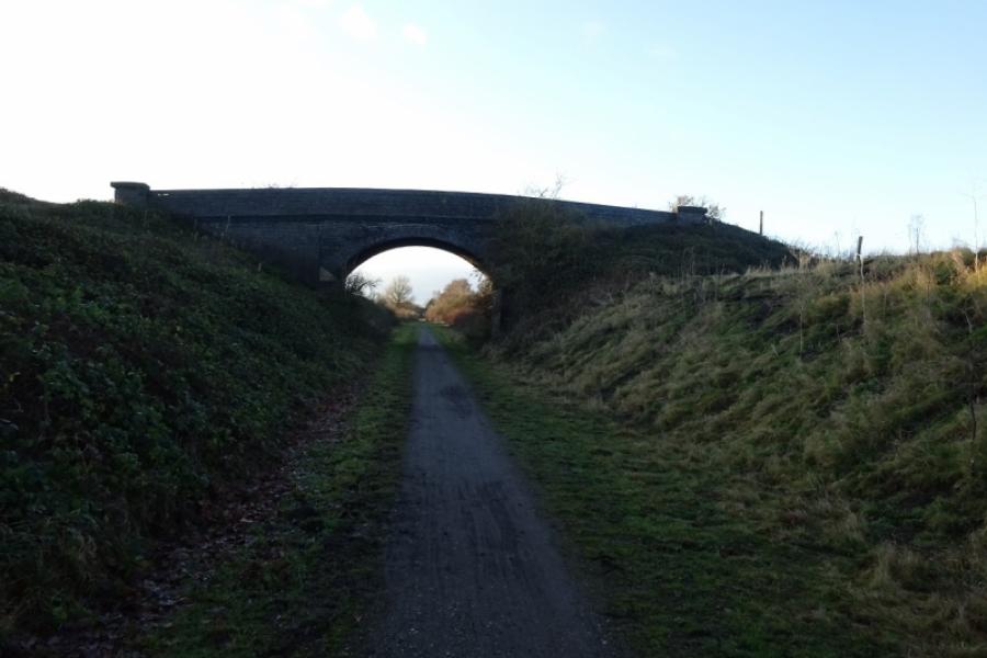
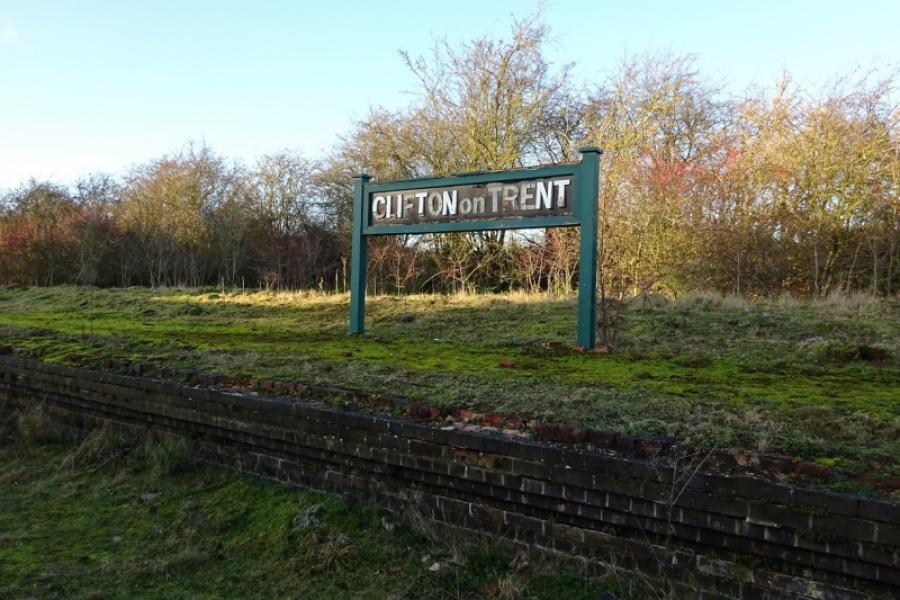
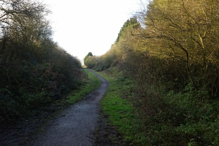
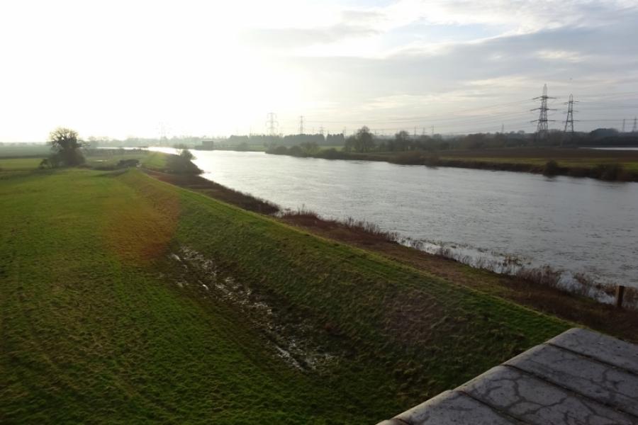
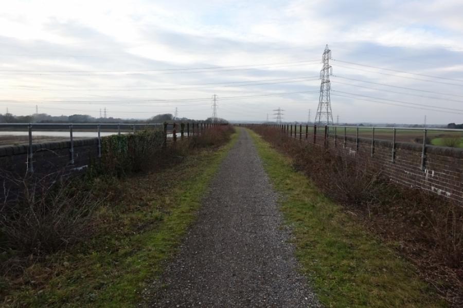
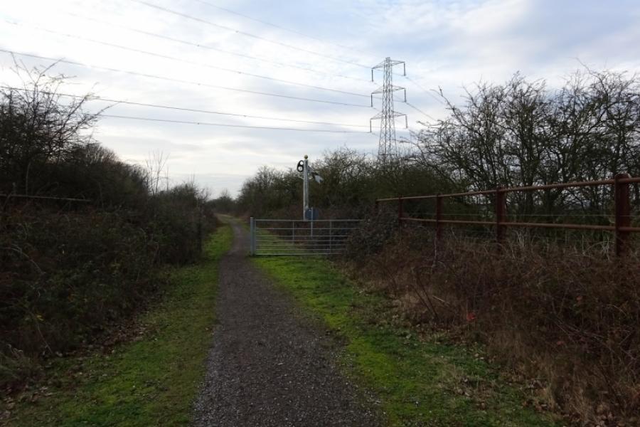
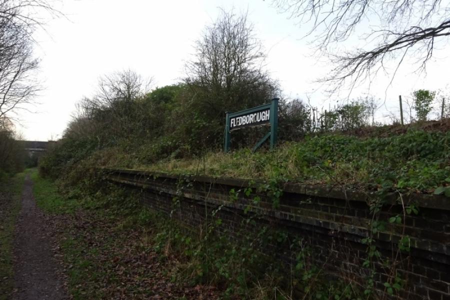
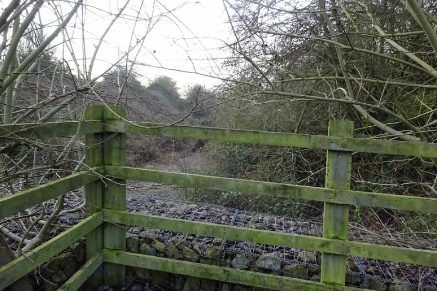
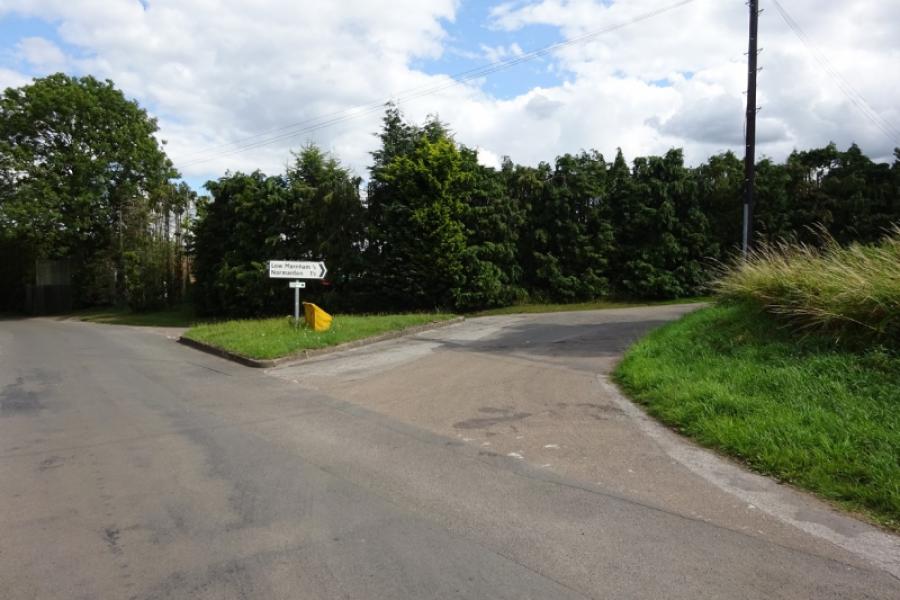
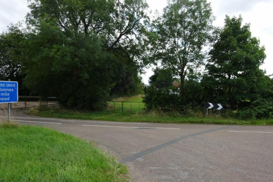
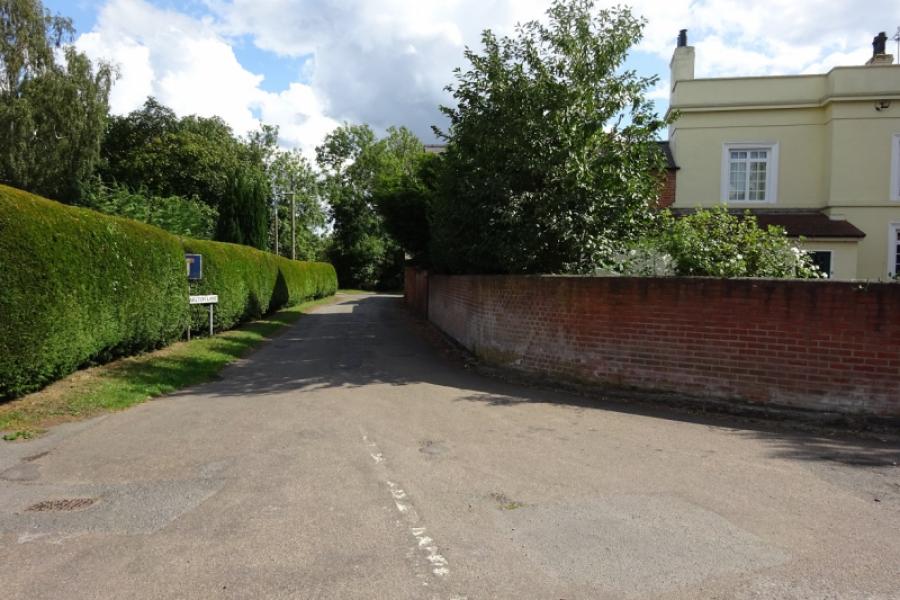
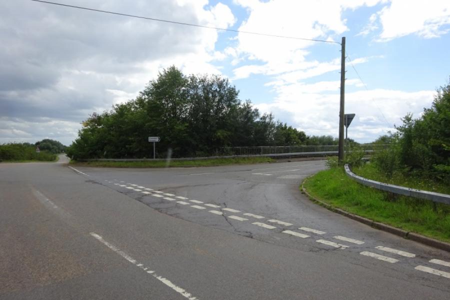
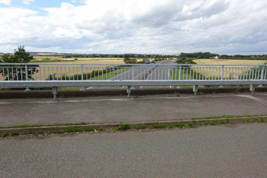
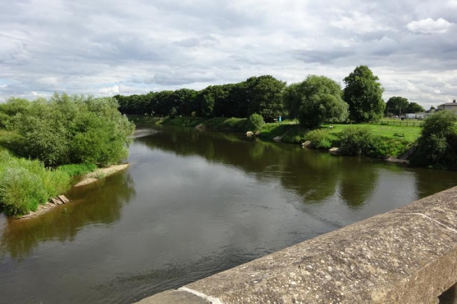
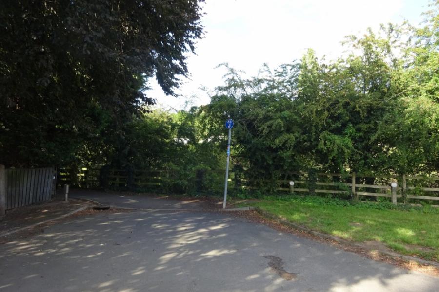
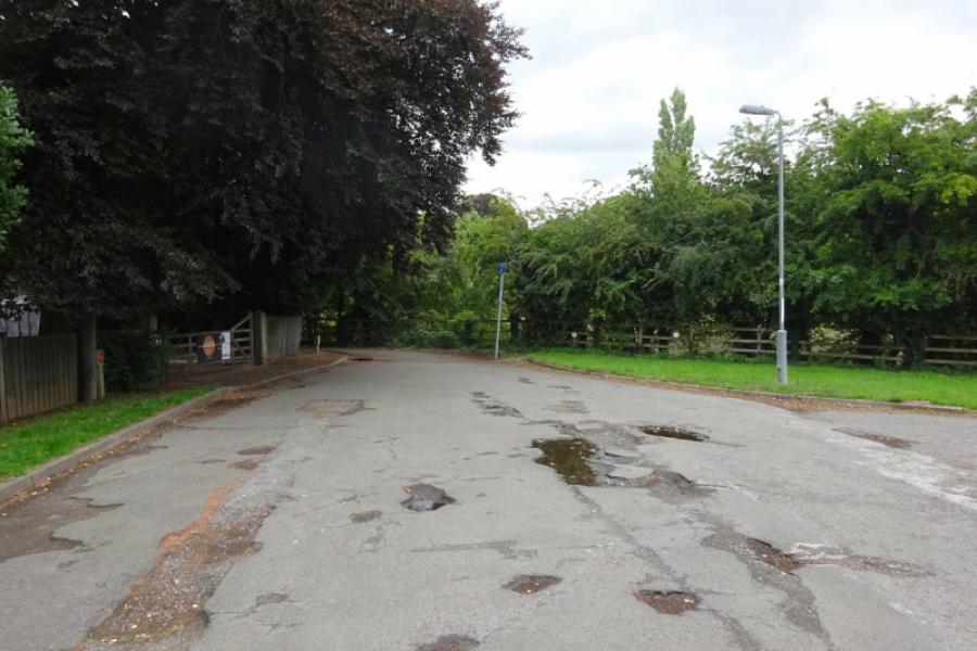
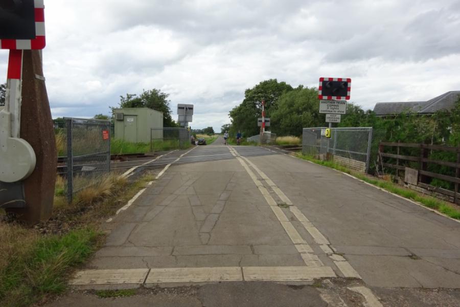
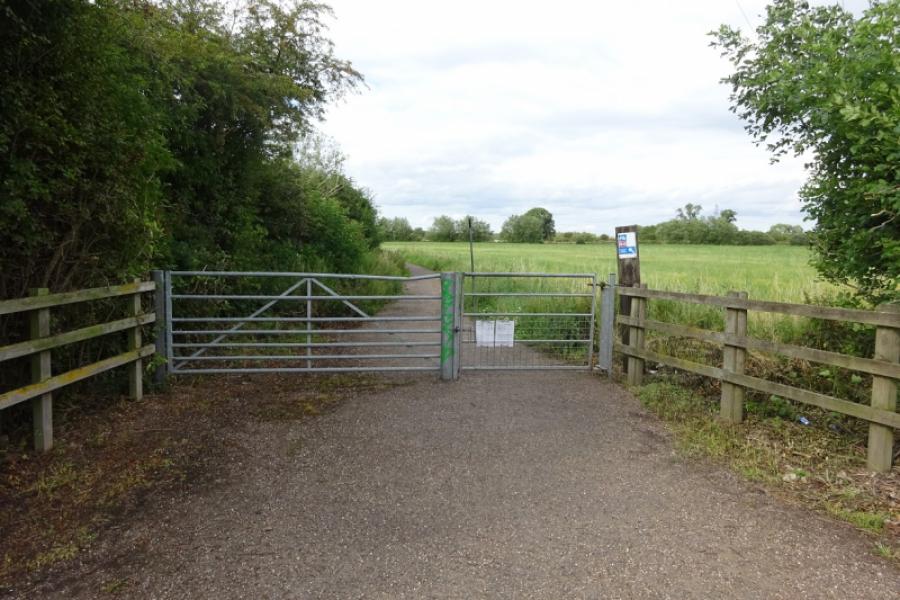
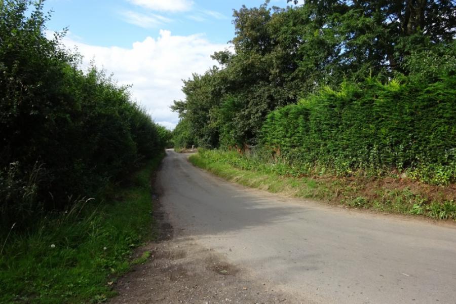
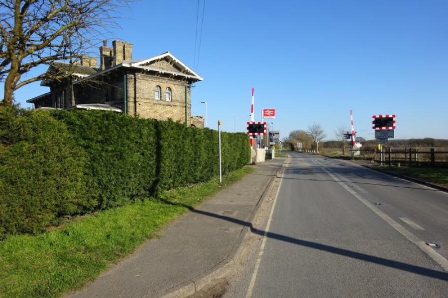
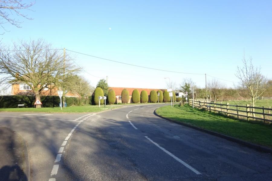
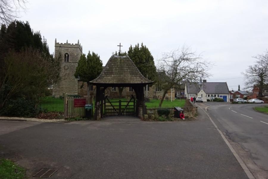
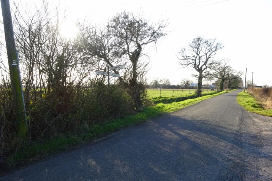
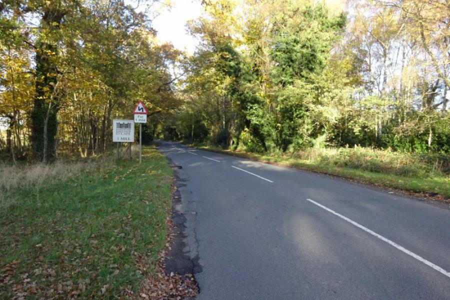
(1) Follow the cycle track from behind the community centre in the direction of Harby. Soon leave Skellingthorpe behind. After just over 3 km, go under the Doddington Road bridge. Continue for about another 1.5 km to go under the Harby Road bridge. Continue, ignoring the sharp left tiun for Harby. Almost immediately, the track deteriorates and can be muddy in places. Continue ahead, passing some turbines on the right then crossing Wigsley Drain before passing under the Wigsley Road bridge then the South Clifton Road bridge soon after. Soon after, pass the only house next to the track which still has its old level crossing. Continue and go under another bridge, near Moor Farm, then another (on no road) before reaching the remains of Clifton on Trent station. One platform and a station sign remains but the former station buildings are now private and fenced off. Just after the station is the A1133 road bridge, part of the road from Newton on Trent to Collingham and Newark. Continue and soon pass the turn off for North and South Clifton then soon reach the start of the long viaduct over the River Trent. At the far end is an old signal, after which there is what is left of the formaer High Marnham Power Station on the left. Within a mile reach the old Fledborough Station. At the end of the old platform, the sustrans track leaves the track bed of the old dismantled railway and ascends to the road where there are signs.
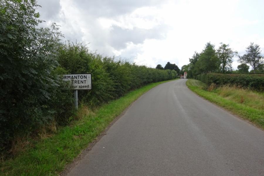
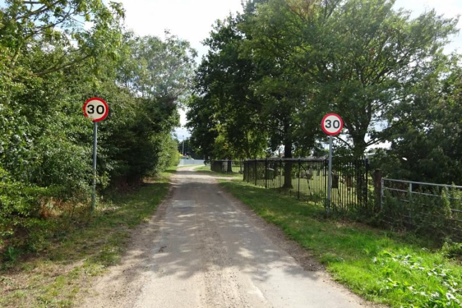
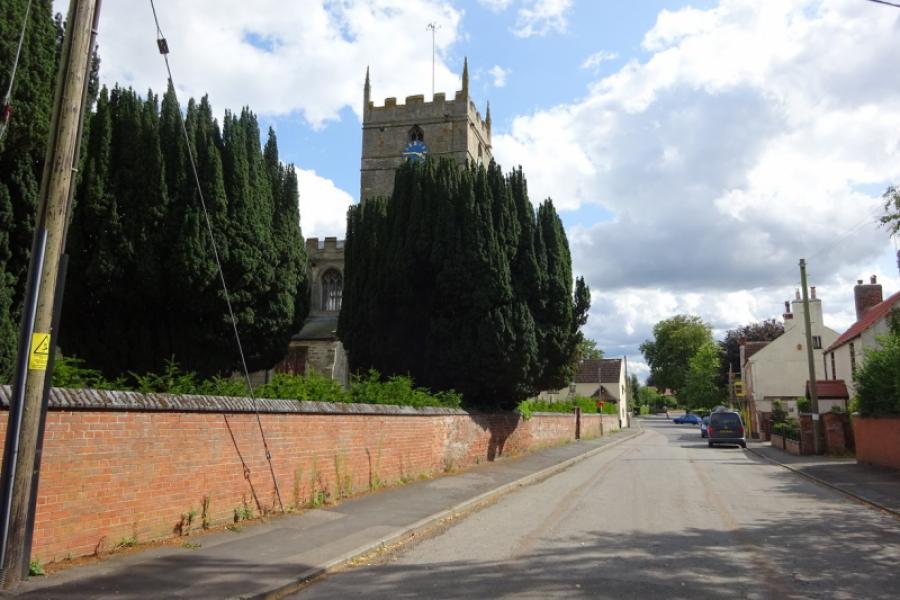
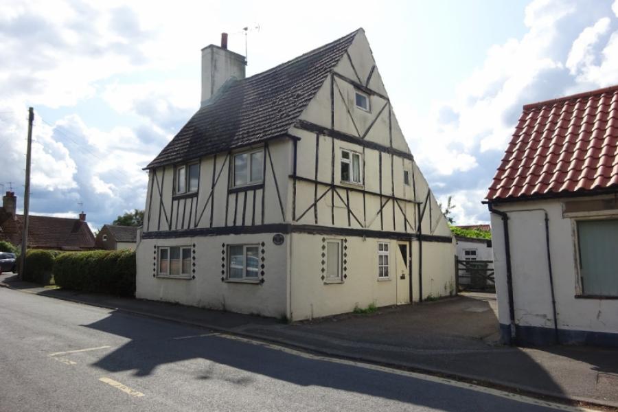
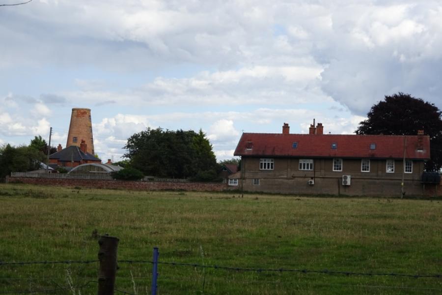
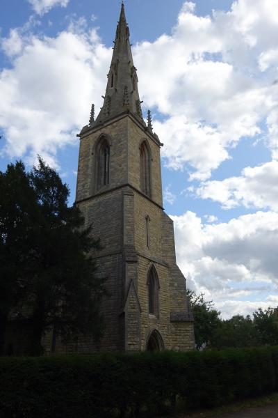
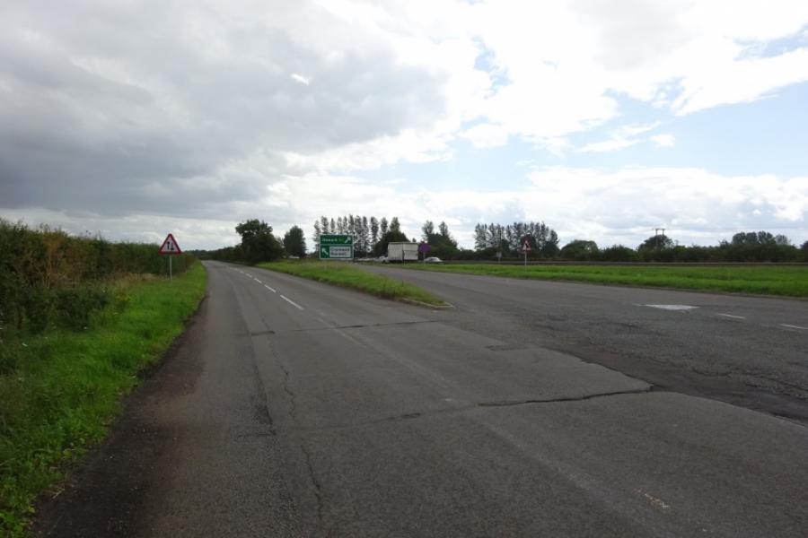
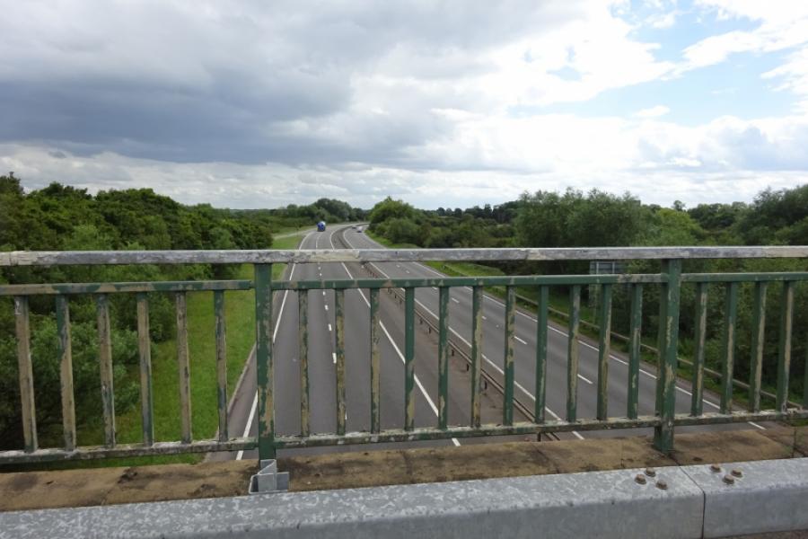
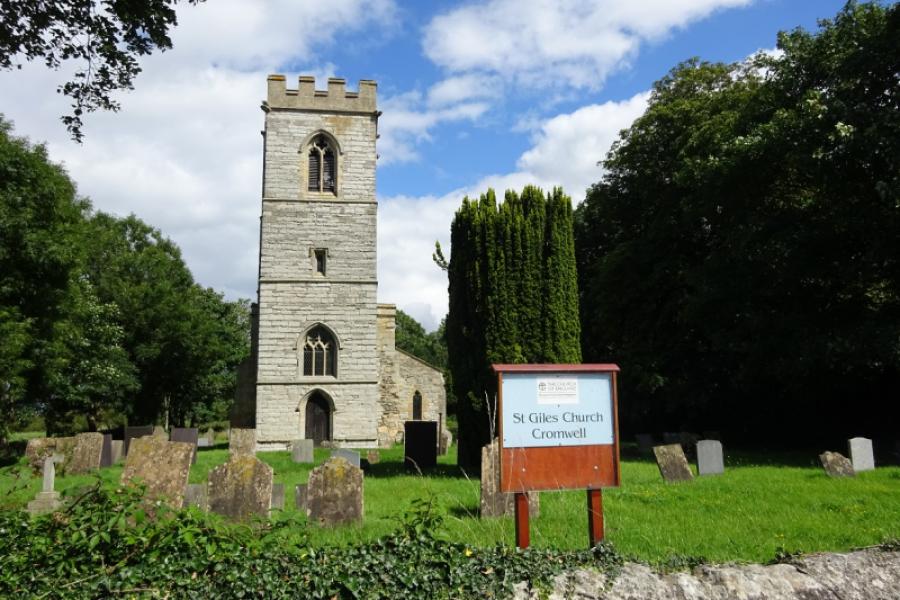
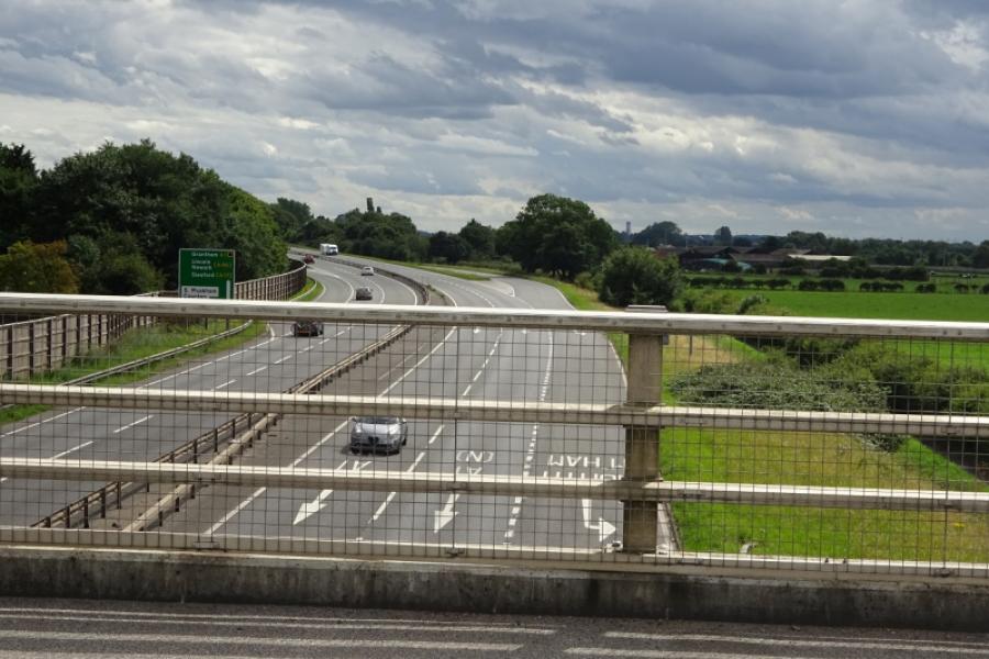
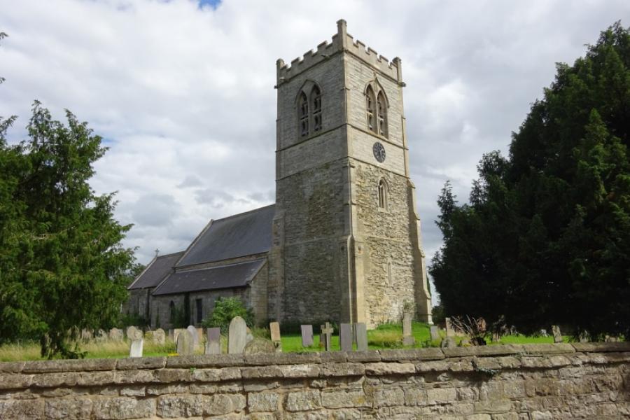
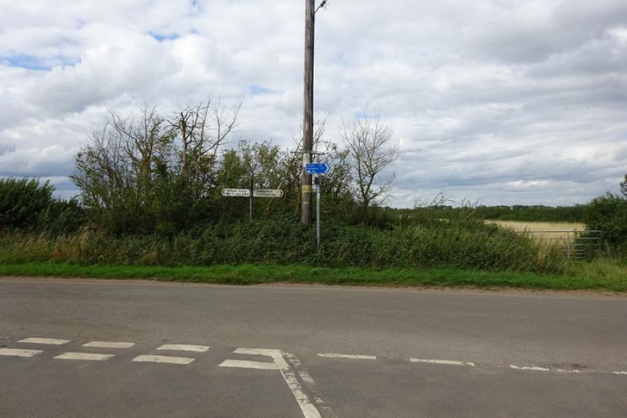
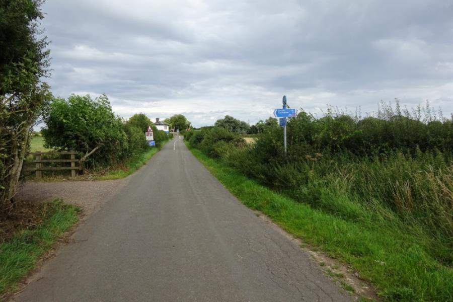
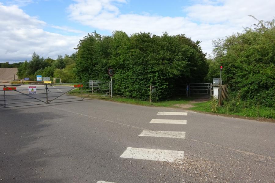
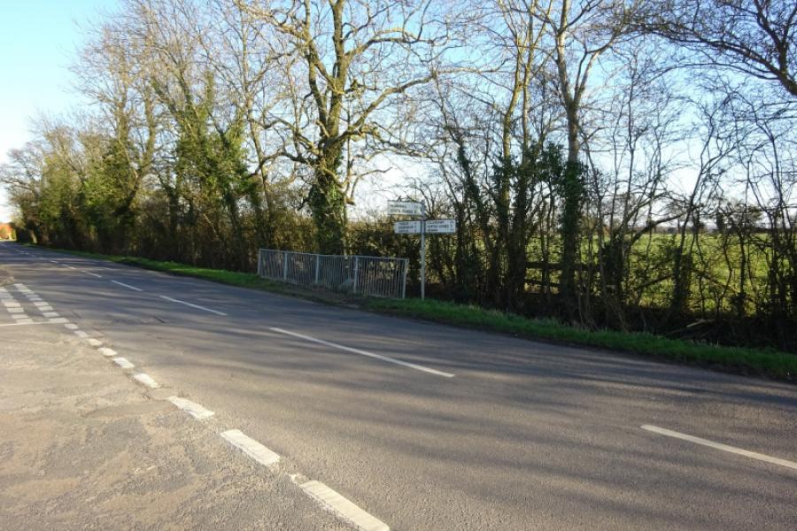
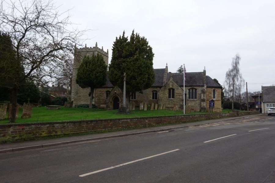
(2) Follow the road south, immediately crossing over the sustrans track. Pass the turning for Skegby then turn left for High Marnham. At a small triangle, fork right for Low Marnham and follow this back to the main road. Go straight across and reach Normanton on Trent. Turn left, South Street, just before the church and follow this back to the main road. Turn right and enter Grassthorpe. Turn left onto Ingram Lane when the main road goes right and follow this quiet back lane to reach Sutton on Trent by its cemetery. Continue ahead and pass the church. Keep going and pass the old windmill. Soon after, the main road goes right but continue ahead onto Carlton Lane which is marked as a no through road but that only applies to cars. Follow the lane, easily passing where cars cannot go and continue to the end. Turn right then left into Church Street and go past the church. Continue ahead through Carlton soon alongside the A1 until the road crosses the A1 then a left turn takes you into Cromwell. Continue ahead, through the village, and continue even when it says there is no through road. You are actually on the road into Cromwell off the A1 for those cars heading south to north so watch out for fast cars. Just before you reach the obvious A1, there is a rough car park on the right often used by lorries. Do NOT go onto this and especially do NOT take the rough lane beyond it. Head for the A1, being mindful of cars coming off it to reach Cromwell. Just before reaching the carriageway, by the no entry sign on the right, there is a cycle track with a cycle sign painted on the tarmac. This goes alongside the carriageway with the two separated only by a grass verge. Follow the cycleway for about a mile until you go right, off the A1 then cross back over it on the obvious bridge to reach North Muskham.
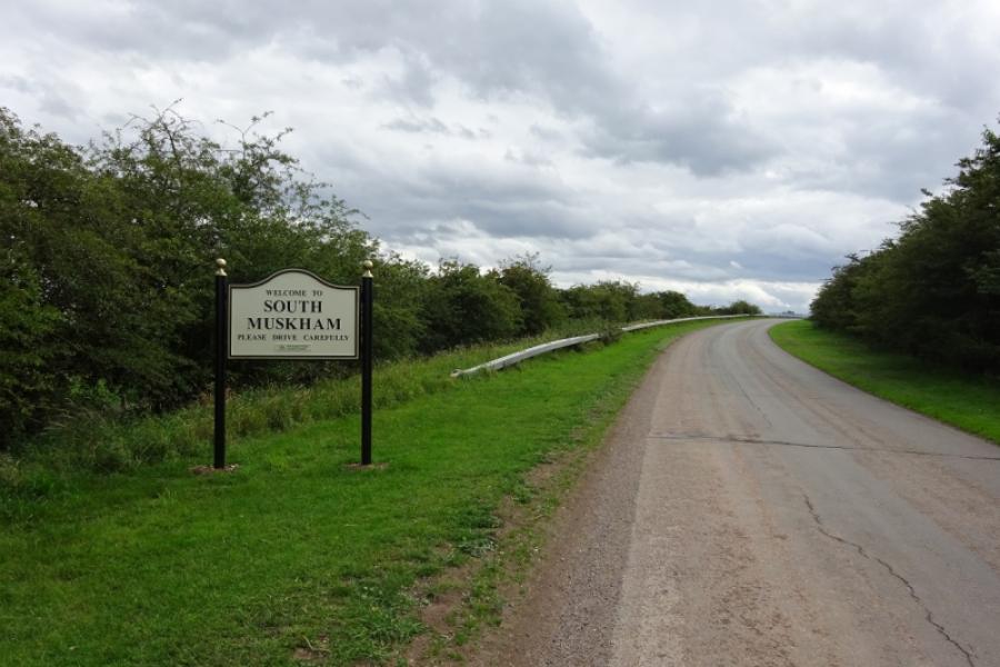
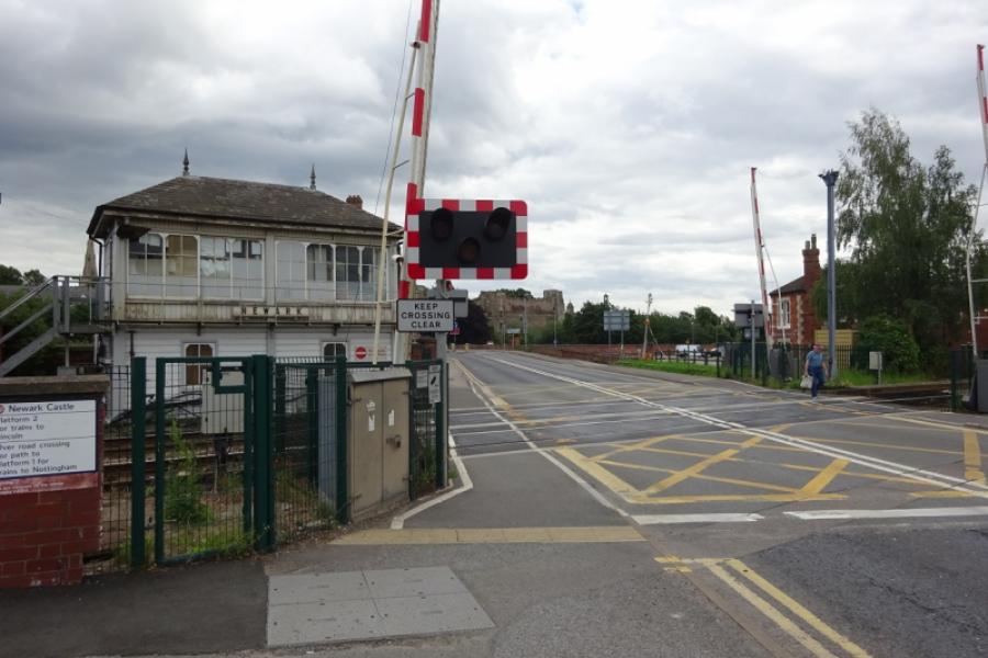
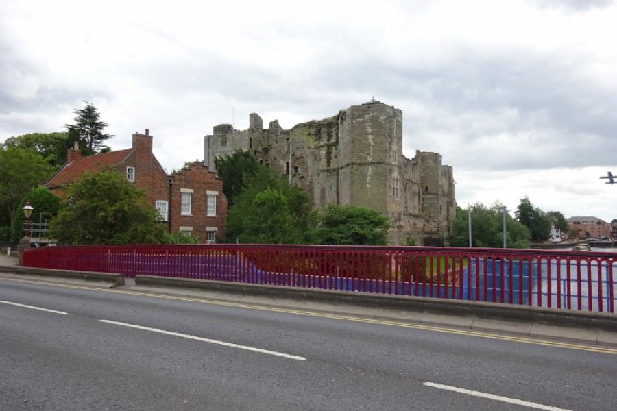
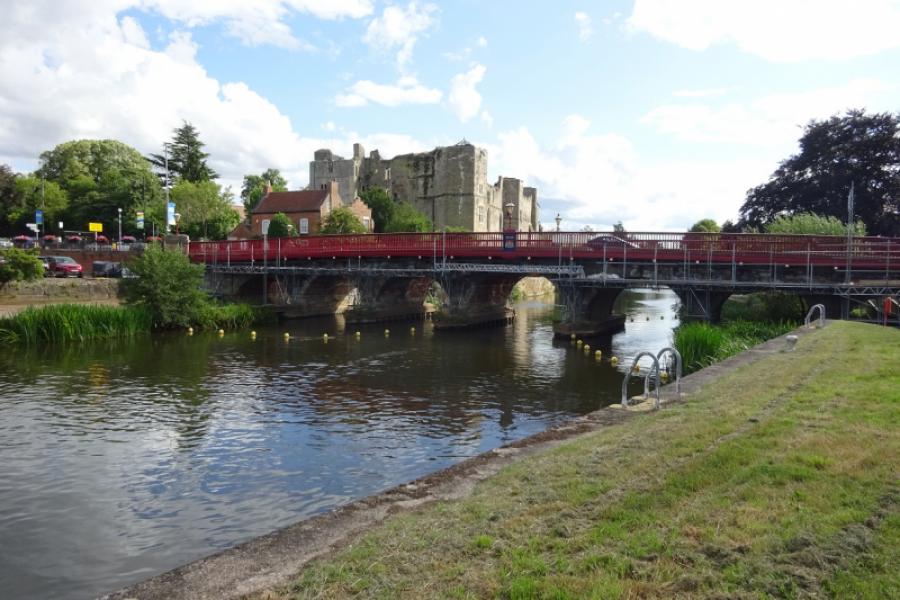
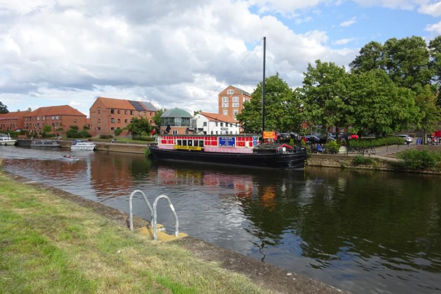
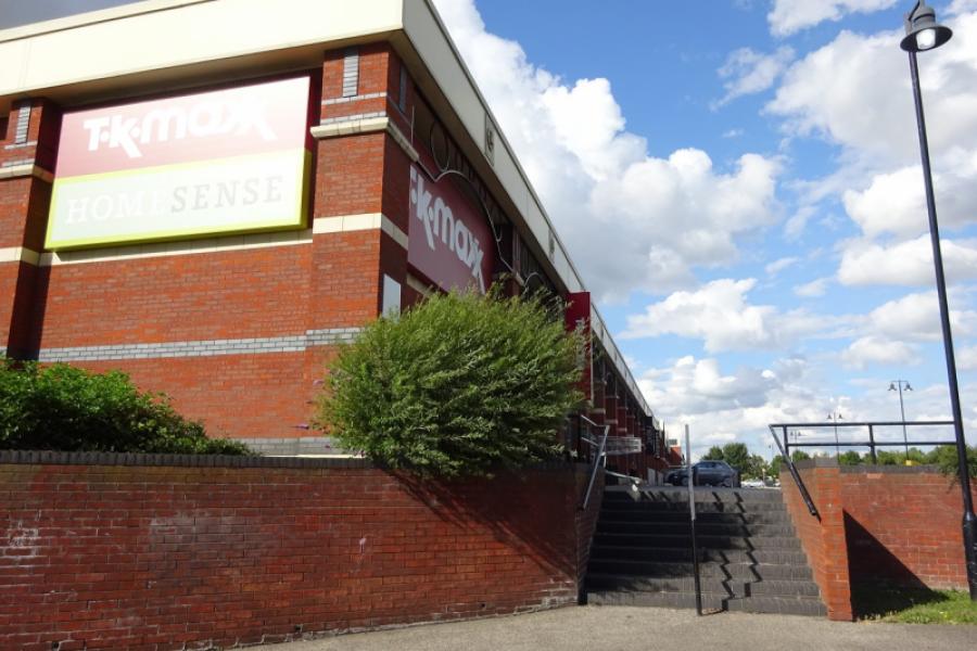
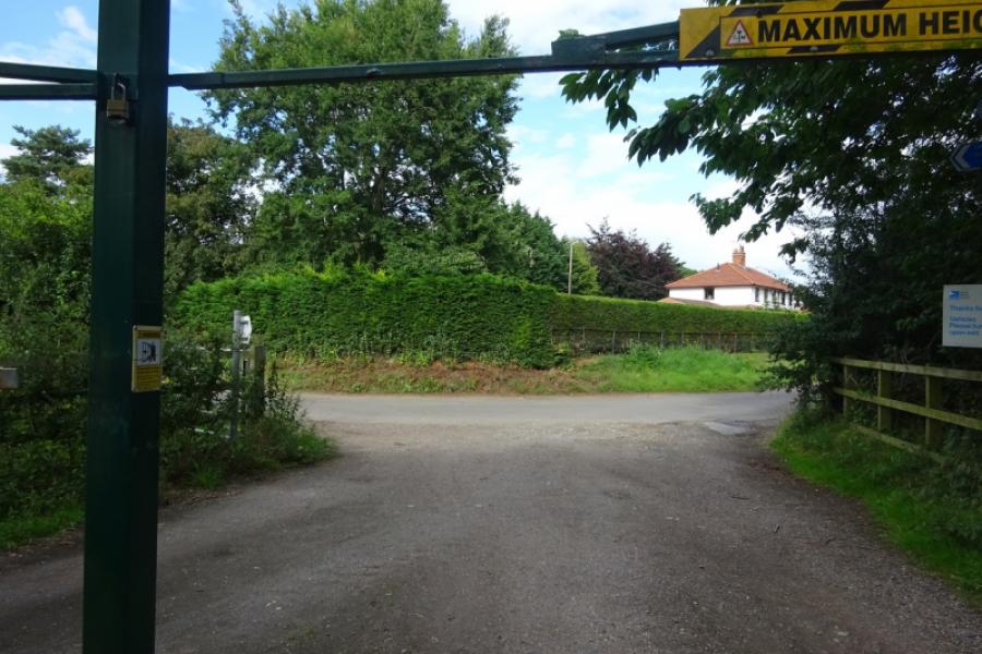
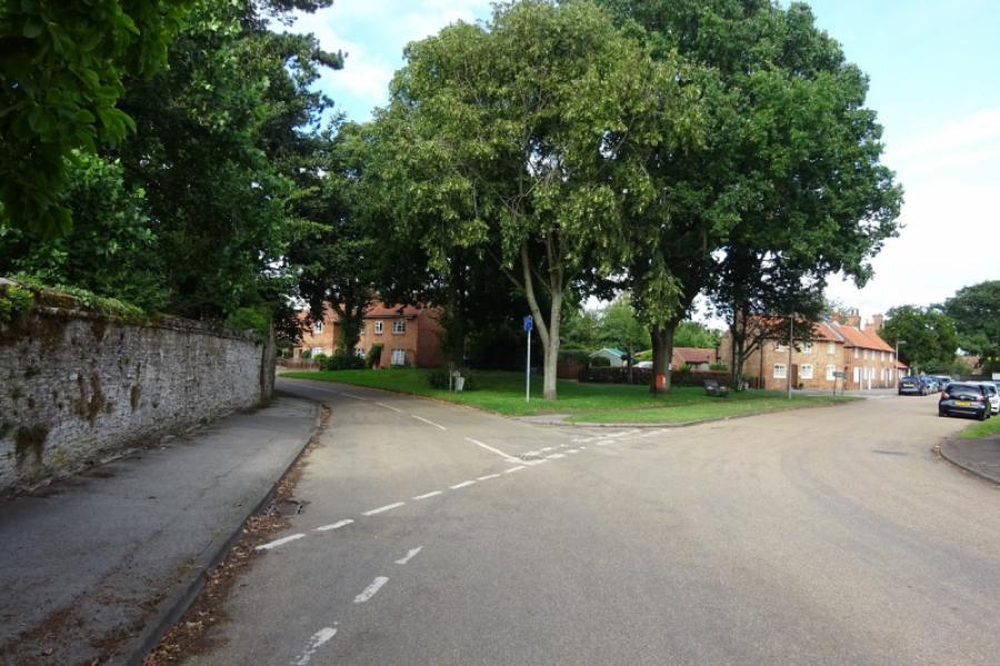
(3) Follow the road through North Muskham which eventually recrosses the A1, and leads to South Muskham. The East Coast main line is crossed at a level crossing just before the church. Continue through South Muskham but take a left turn, byway sign but not very obvious, about 100 m before reaching the Great North Road. Follow the left turn to join the Great North Road further south at a five way junction. Turn left and use the pavement cycle track to head towards Newark. Pass a lake then cross a natural section of the River Trent – the section through Newark is largely man made. Reach a major roundabout which can be crossed using pedestrian lights and continue ahead into Newark on Trent. Pass Newark Castle station and level crossing, then a mini roundabout leading to Waitrose until you reach a left turn signed “Riverside Walk” just before the bridge crosses the river. Turn left onto the Riverside Walk just before the road crosses the River Trent and follow the track alongside the river to reach a new suspension bridge. Cross over the river then turn left and continue until there is a wide exit off to the right. This leads to the side of TK Maxx at one end of a retail park. Go through the car park then go right.
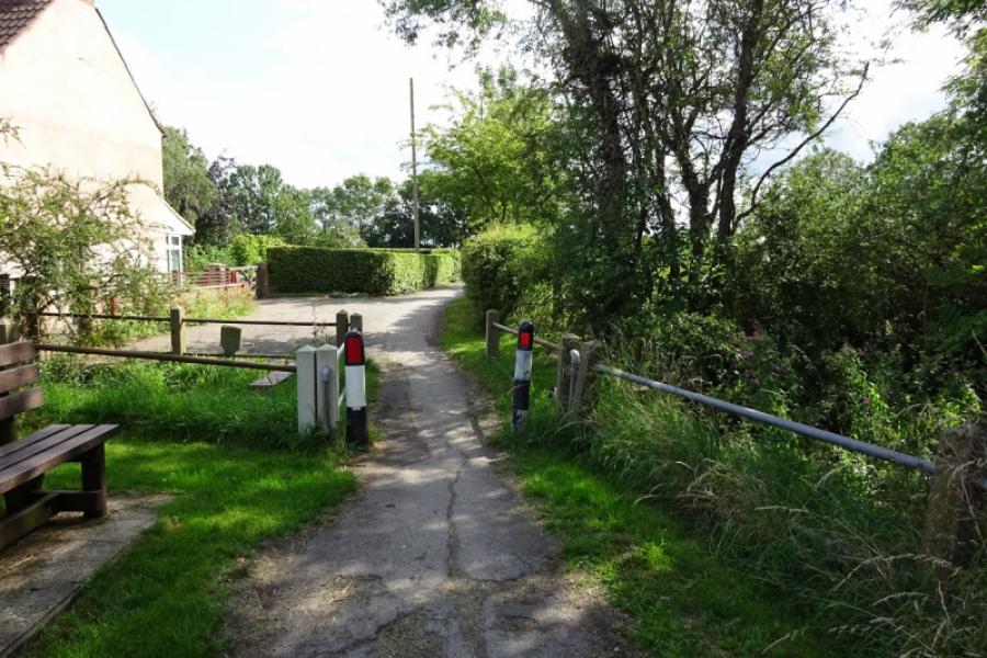
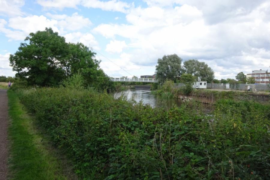
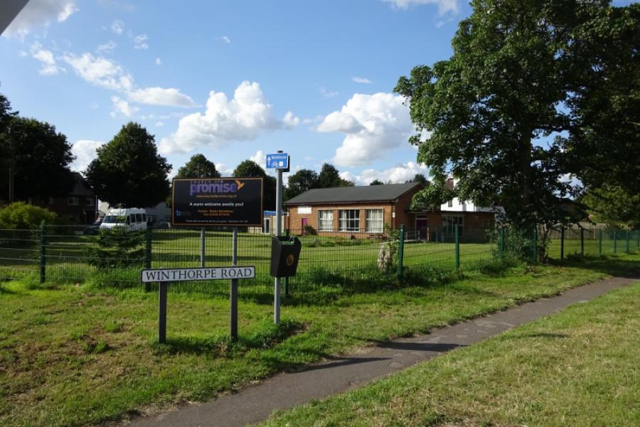
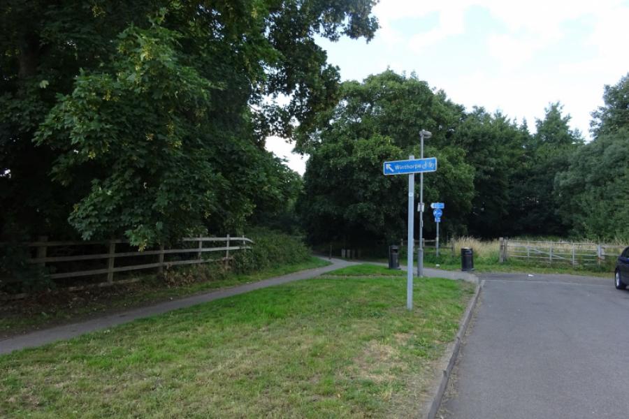
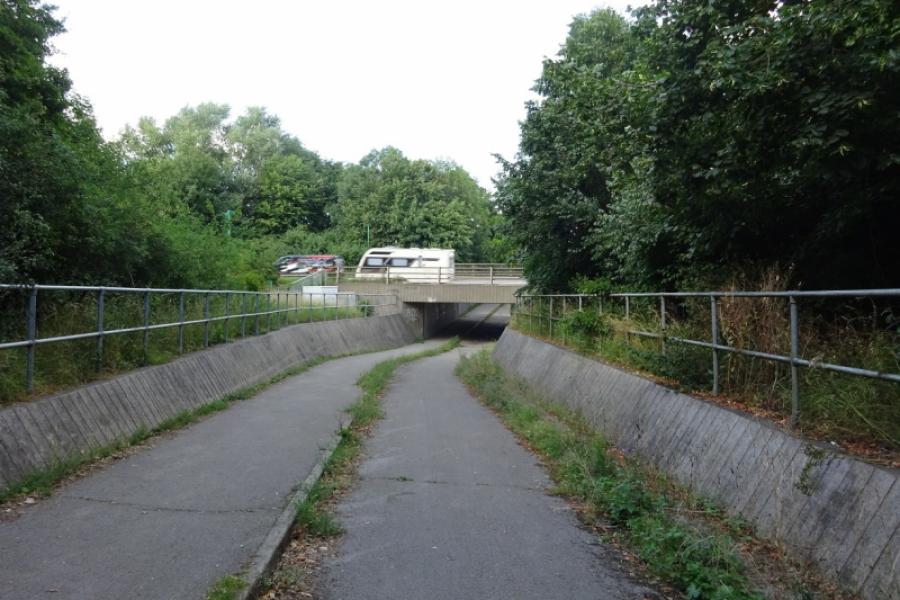
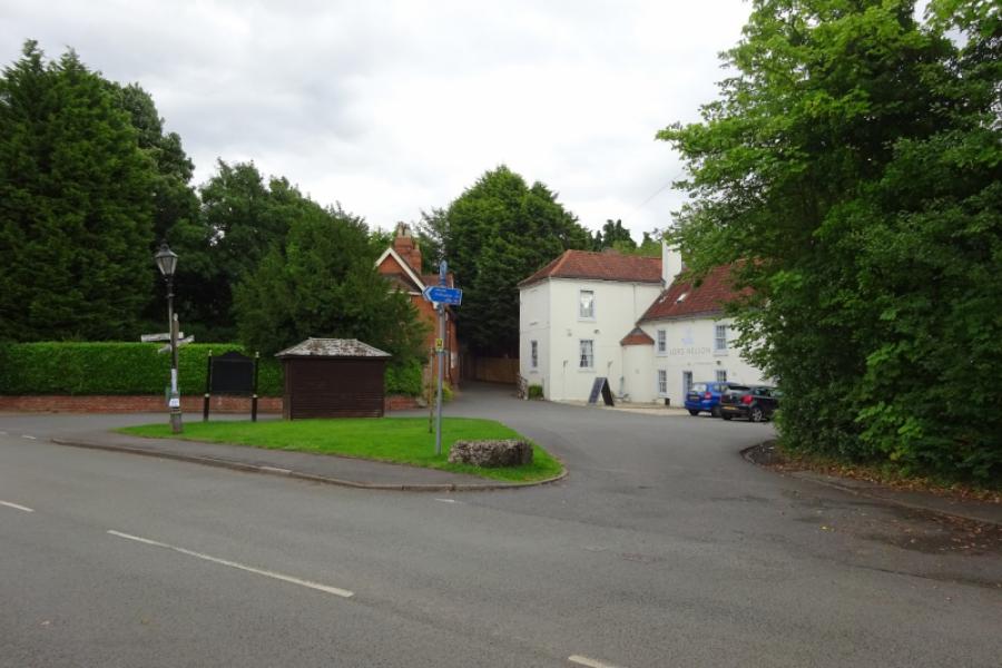
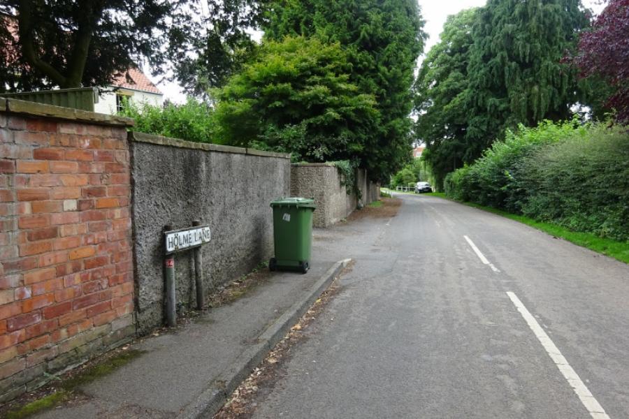
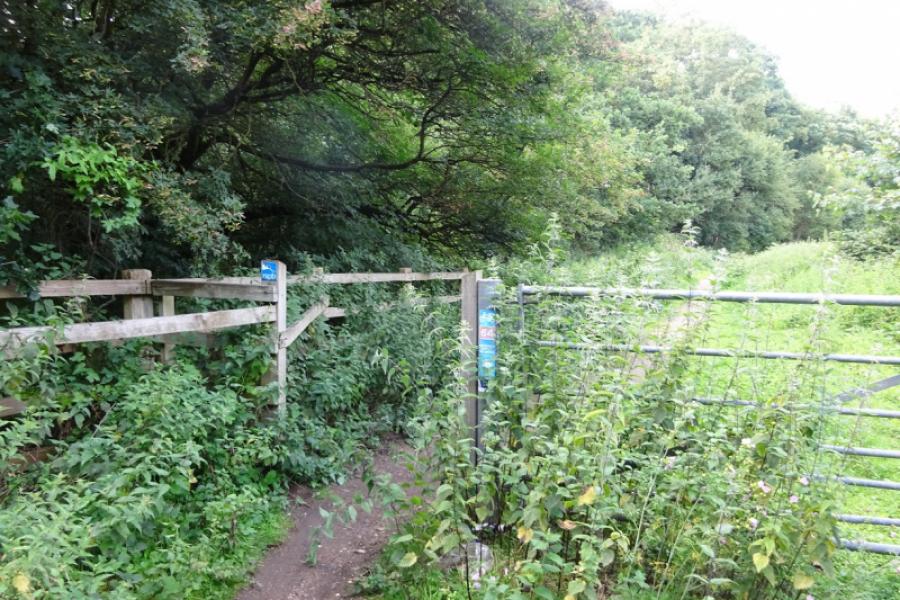
(4) Join the main road and go left over the bridge over the main line. Newark North Gate station is off to your right. Reach the traffic lights after the bridge then turn left into Winthorpe Road. This road used to go to the village of Winthorpe but is has now been cut by both the A46 Newark bypass and the A1. Follow the long straight road to its end and fork left, signed, to pass under the A46. Come out and turn left then, a bit further on, pass under the A1. Come out at the foot of a hill which leads into Winthorpe. Turn left at a triangle in front of the Lord Nelson pub; this is Holme Road. Follow it over a level crossing then for some distance to a T junction. Turn right and head towards Langford but look for a cycle track going left about 300 m before the level crossing. Take this track, signed, and follow it past a sand quarry, across the quarry access road, then by the side of a nature reserve to emerge back onto a public road at a barrier. Go left and follow the lane into Collingham, being joined by a reverse left fork as you reach the main houses. Continue along Church Street to reach two grassy triangles. Fork left at the first then right, Bell Lane, at the second. Follow Bell Lane to reach traffic lights on the A1133 through Collingham village.
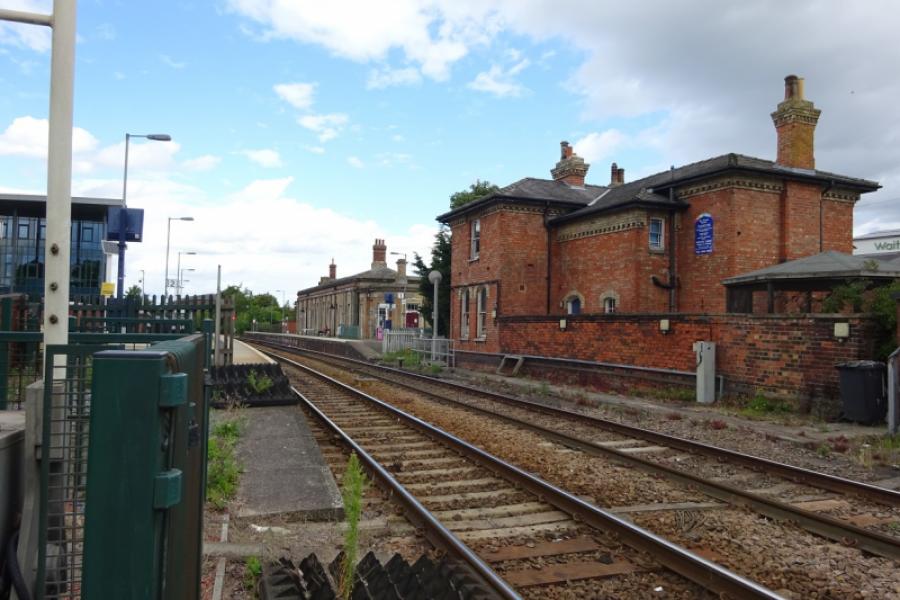
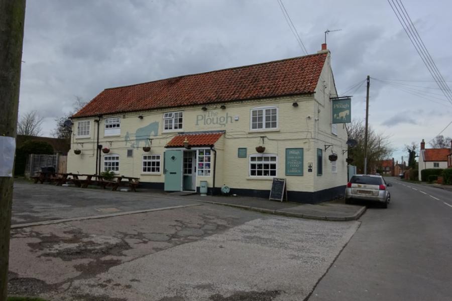
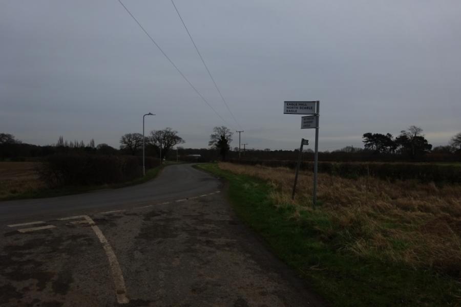
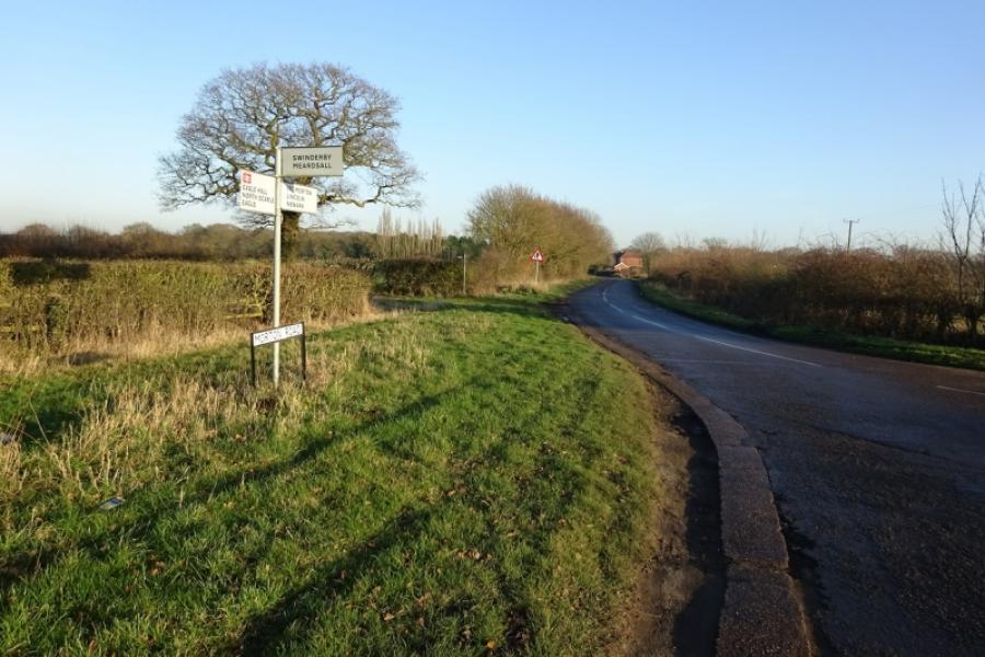
(5) Go straight across and follow the road to the station which is on the edge of the village. Go over the level crossing and continue a little further to take the next left turn and go over the level crossing further down that road. Reach a T junction at the end of the road and turn right, soon reaching another level crossing. Follow the road to the edge of Swinderby then take the third left which goes into the centre of the village. Go as far as the church, noting a right bend on the way signed for Meardsall. Retrace from the church and take the road for Meardsall which leads out of Swinderby. Reach another level crossing. Not long after is a right turn for Meardsall. Take this turning; it says no through road but bikes get through easily. Follow the very minor road to the bridleway railway crossing just after Meardsall Cottage. Cross over and continue to reach the road close to Swinderby Station – the track after crossing the railway can be muddy for about 50 metres so some may prefer to carry their bicycle. Turn left, a short detour, to visit Swinderby Station which still has a manned signal box by the level crossing.
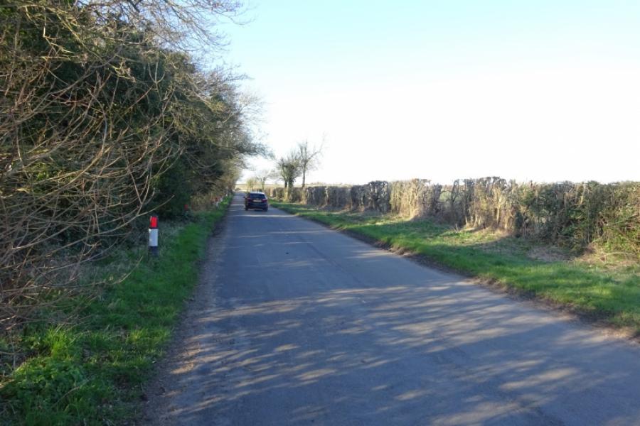
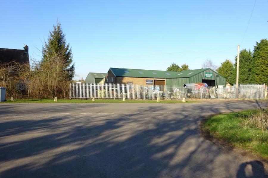
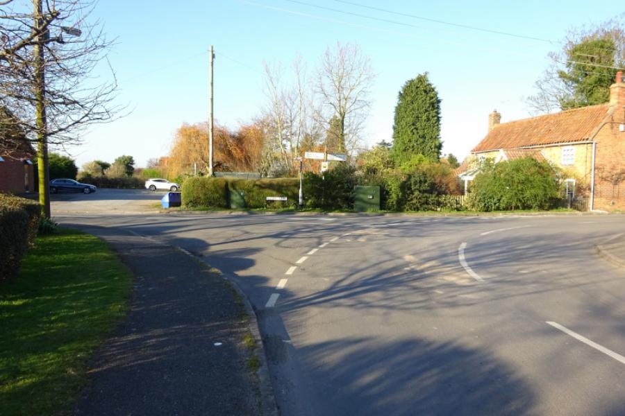
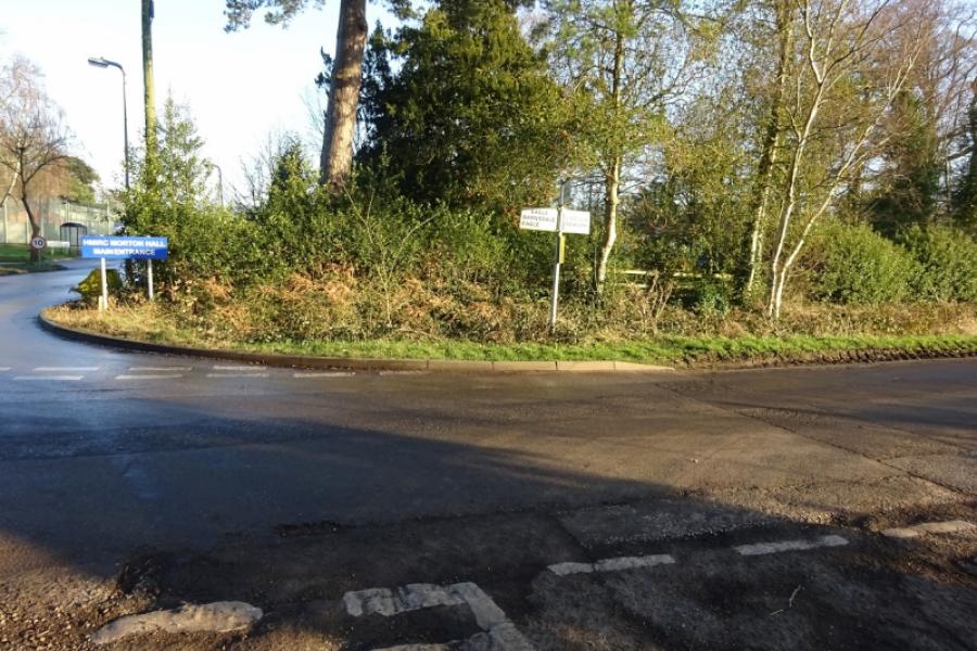
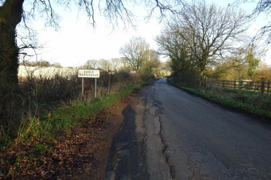
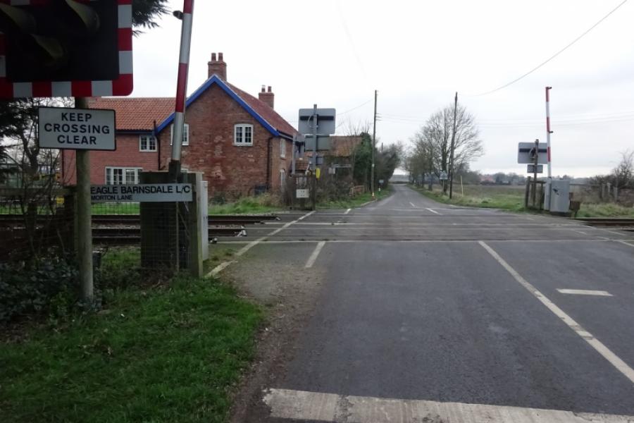
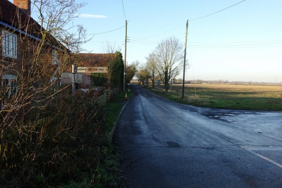
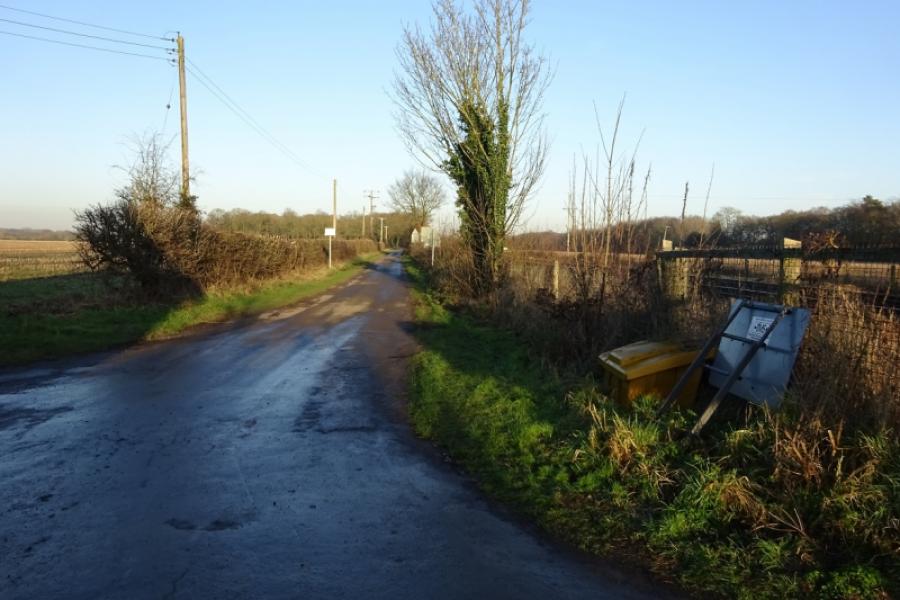
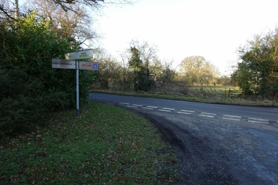
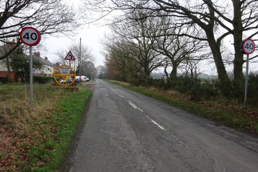
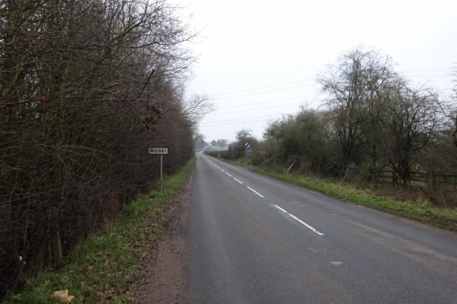
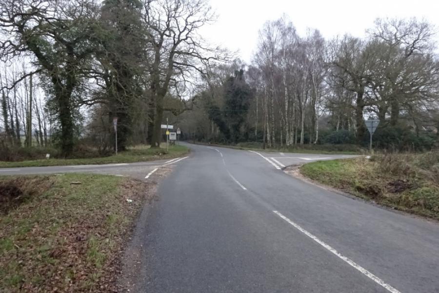
(6) Retrace slightly back to reach the road going left to Morton which is almost opposite the Meardsall turning then continue to the T junction at Morton Hall Immigration Centre. Turn left towards Eagle Barnsdale. Reach the level crossing in Eagle Barnsdale. Go across then turn immediate right for Thorpe, and follow the very minor road to join Thorpe Lane (from Eagle) at a T junction. Turn right onto Thorpe Lane and reach another level crossing. Continue to reach Thorpe on the Hill. At the crossroads, turn left for Whisby. Pass houses then the Railway Inn and go over a level crossing to enter Whisby. Soon after, the road climbs, fairly gently but for some distance, into Whisby. Continue through to reach the road between Eagle and Lincoln at Whisby Crossroads which is signed. Go straight across, pass some houses then enter a wood and reach another crossroads which is on the road between Eagle Moor and Skellingthorpe. Go straight across for Doddington, and follow a meandering road to reach the busy B1190 at one end of Doddington village. It is only a short section on this busy road and there is a good footpath on both sides of the road.
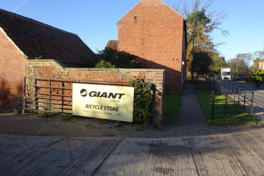
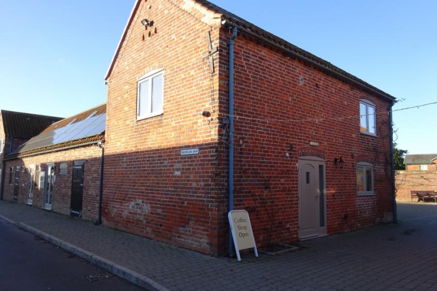
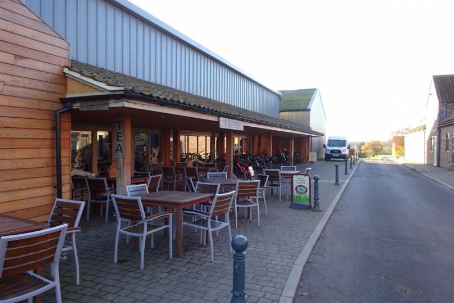
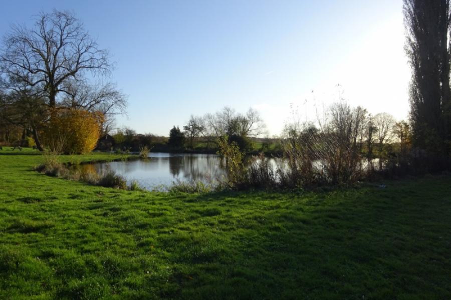
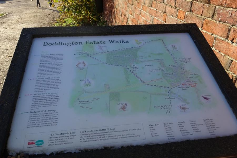
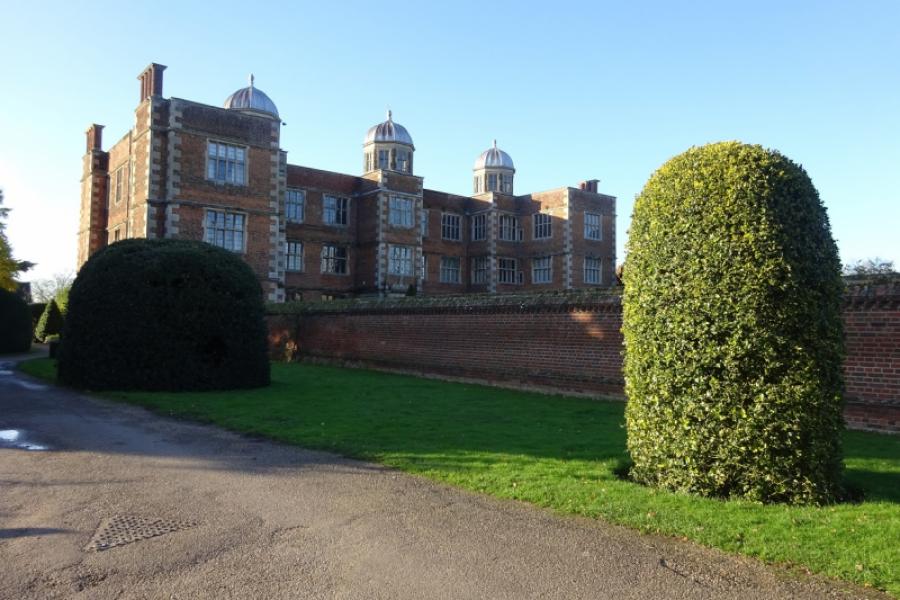
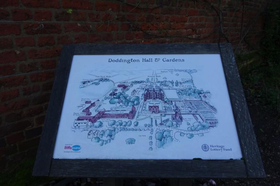
(7) Soon after joining the main road, there is a wide drive with a sign for “Giant Cycles”. This is the way into the Doddington Hall facilities apart from the actual hall itself which is slightly further down the road. Doddington Hall dates back to Elizabethan times. The facilities include shops and two tearooms as well as a cycle shop. Depending on the time of year, parts of the hall, itself, may be open. It is worth going past the cycle shop to look at the back of the hall and fairly picturesque small lake. In the run up to Christmas, there is a Christmas shop on the way to the lake. Return to the main road and find the start of Kennel Lane, opposite the church. Follow Kennel Lane for less than 100 m, going straight on where it bends to the right. Join the recently created cycle track which takes one back to the main sustrans track from Skellingthorpe. Turn right onto the main track and soon return to the community centre.
Notes
(a) This cycle ride took place in August, 2020.
Photos - Hover over photo for caption. Click on to enlarge. Click on again to reduce.


![]()
![]()


![]()
![]()


![]()

![]()
![]()
![]()
![]()
![]()


![]()
![]()
![]()
![]()
![]()
![]()