Get Lost Mountaineering
You are here: England » Lincolnshire » Lincoln Area Cycle Rides » From Skellingthorpe going West towards Harby AND crossing the Fledborough Viaduct over the River Trent
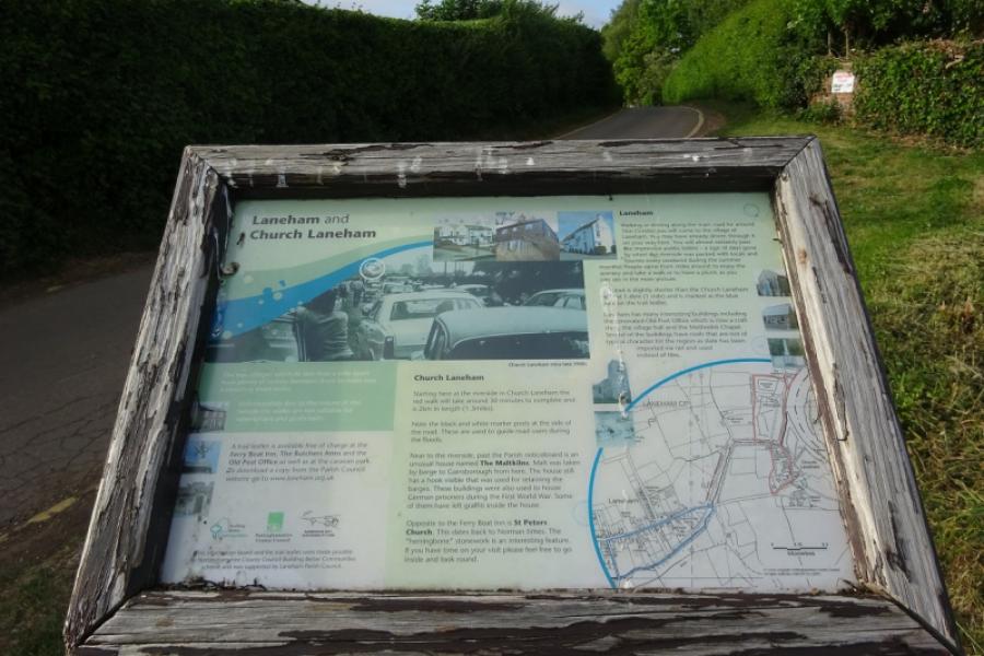
Skellingthorpe Fledborough Ragnall Laneham Church Laneham Rampton Treswell South & North Leverton Sturton le Steeple Gainsborough Lea Kexby Willingham Stow Sturton Saxilby
Skellingthorpe Fledborough Ragnall Laneham Church Laneham Rampton Treswell South & North Leverton Sturton le Steeple Gainsborough Lea Kexby Willingham Stow Sturton Saxilby
Start/Finish
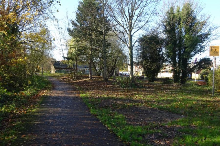
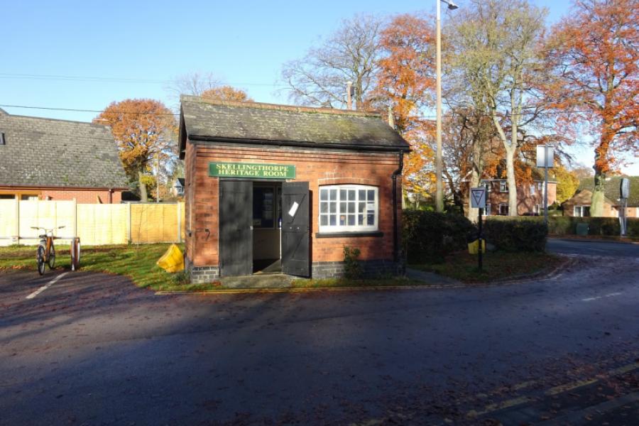
Skellingthorpe community centre where there is usually ample free parking. This is most easily reached from the Skellingthorpe roundabout on the A46 Lincoln bypass. Take the road into Skellingthorpe and the car park is roughly where the cycle track from Lincoln crosses the road.
Distance/Time
69 km/43 miles About 2 hours
Introduction
This is a pleasant cycle which is on a sustrans track to its end at Fledborough. A minor road is then followed to the busy A57 west of Dunham with an optional short detour to Fledborough hamlet on the way. The route continues through Laneham, the very scenic Church Laneham, Rampton, Treswell, South and North Leverton, Sturton le Steeple before joining the A620 then A631 into Gainsborough (very busy road but has a cycle track). The return from Gainsborough goes through Kexby, Willingham, Normanby, Stow, Sturton and Saxilby before taking the back road back to Skellingthorpe.
Route
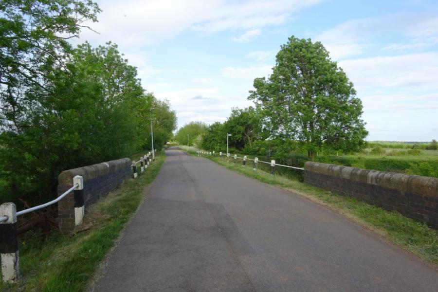
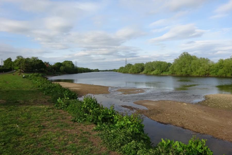
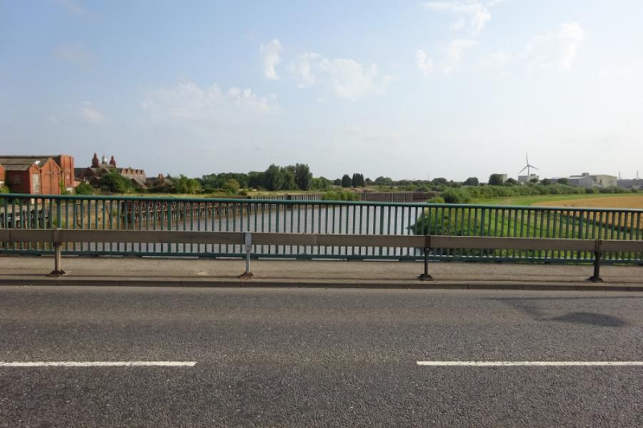
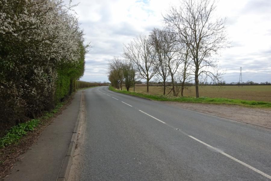
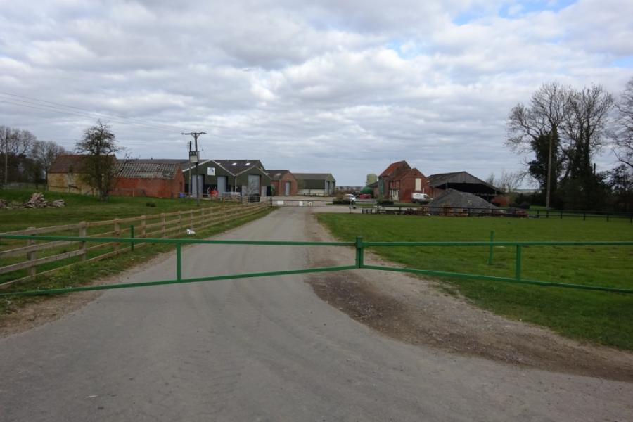
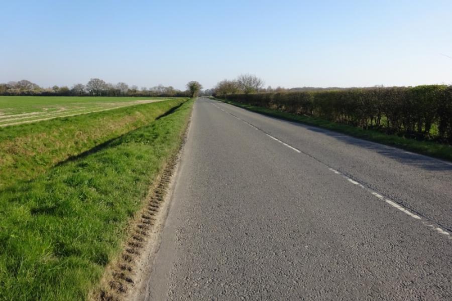
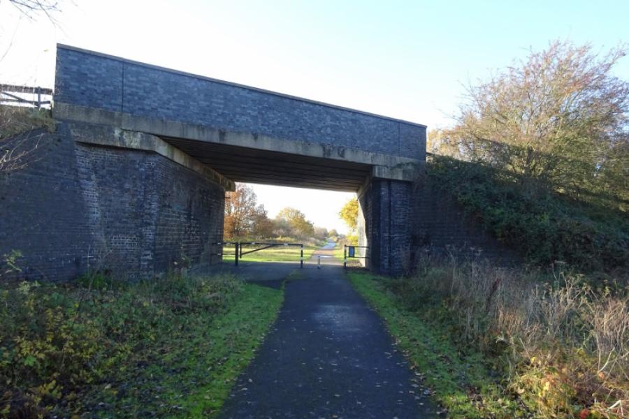
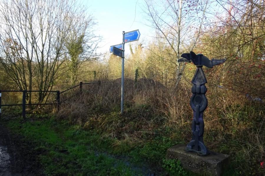
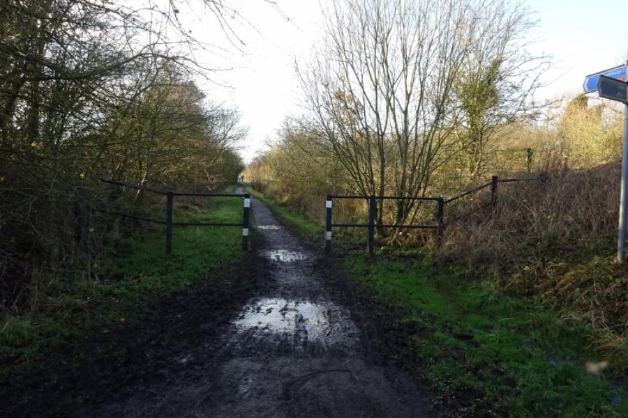
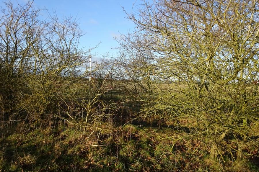
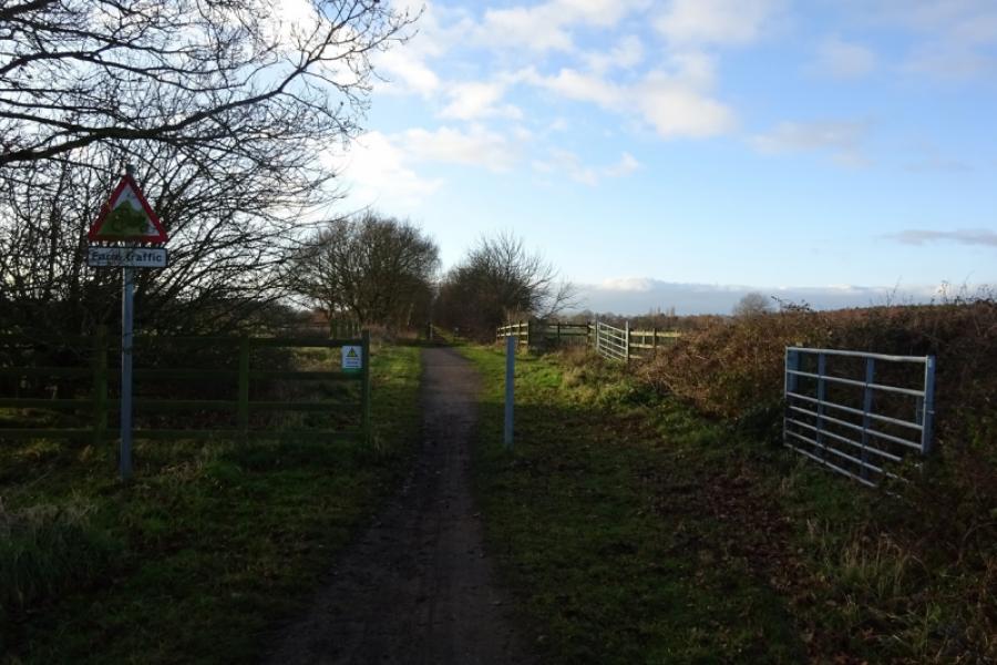
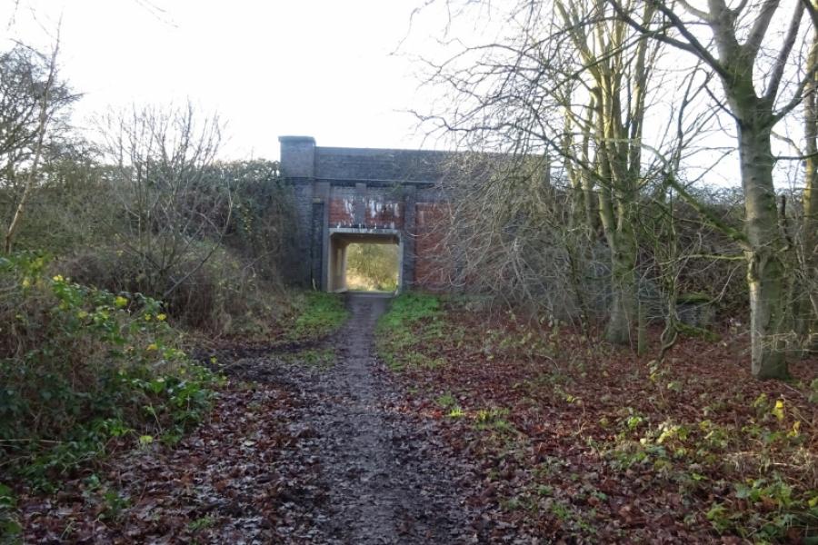
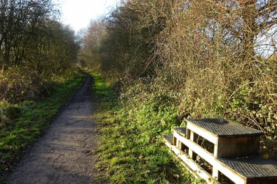
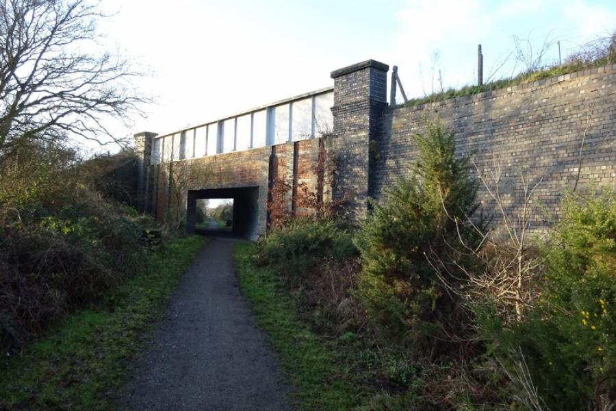
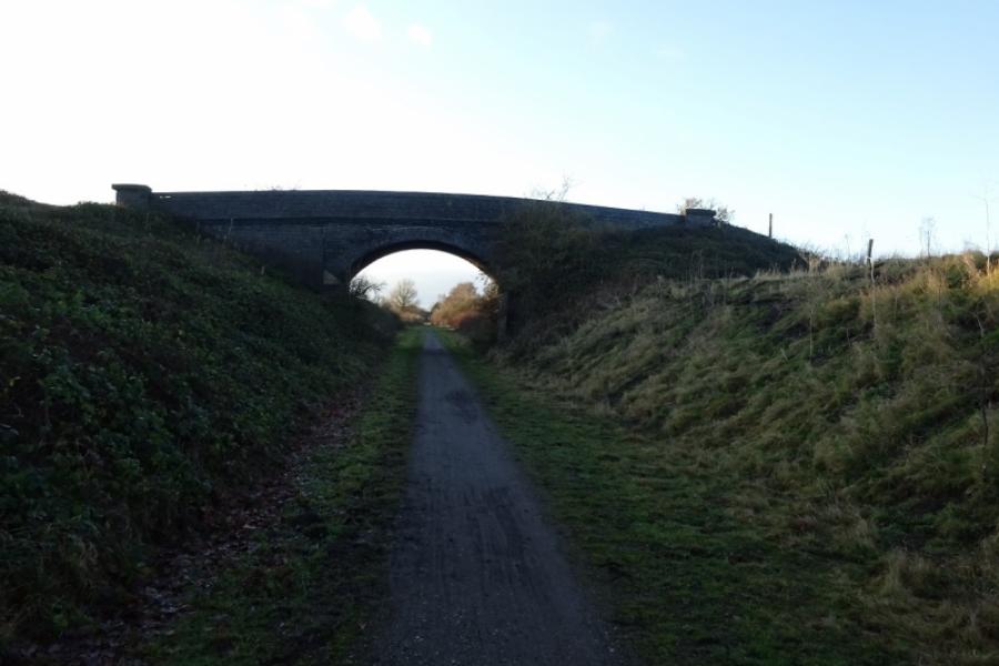
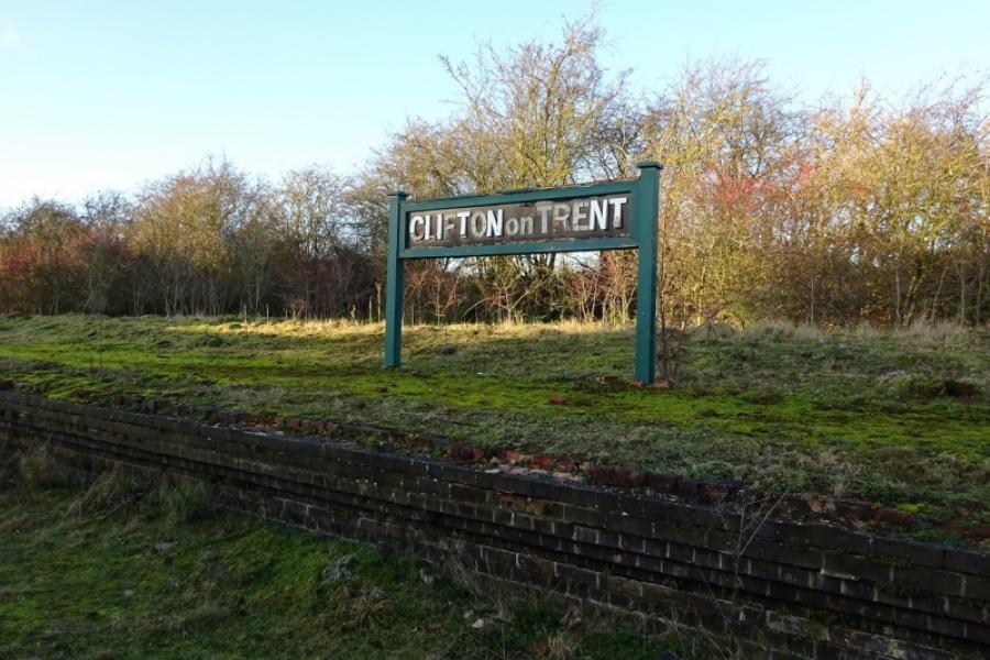
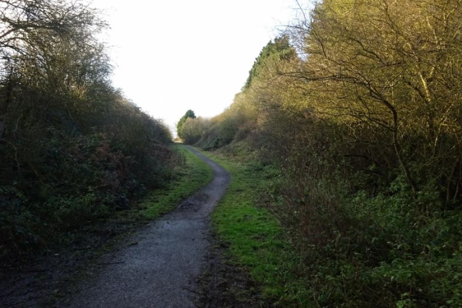
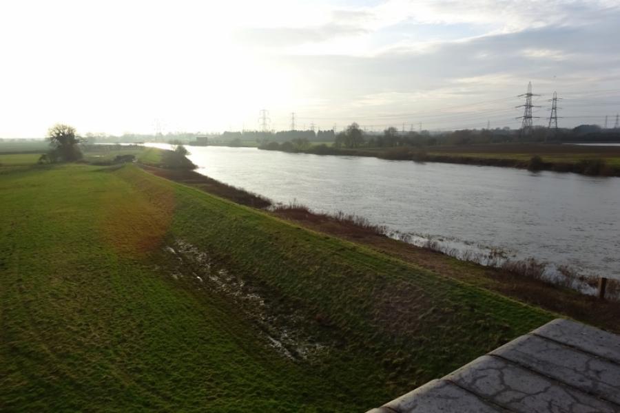
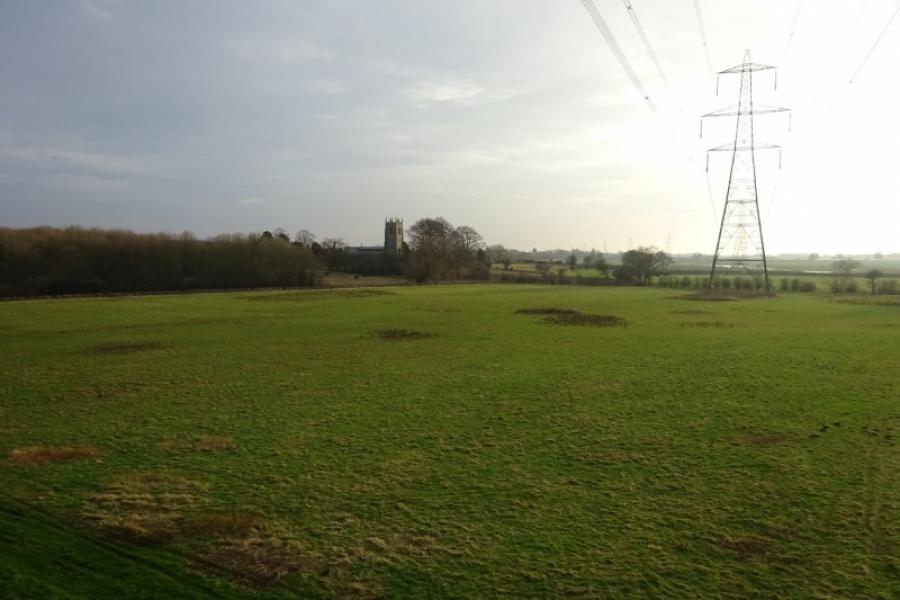
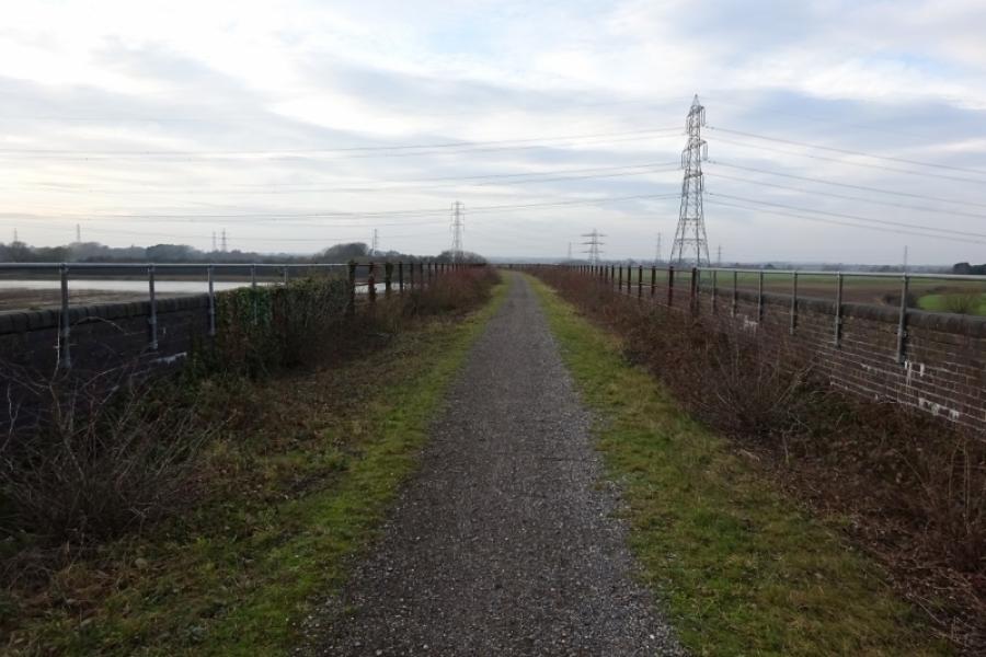
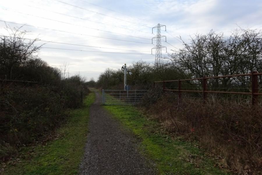
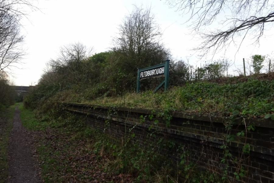
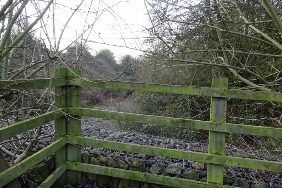
(1) Follow the cycle track from behind the community centre in the direction of Harby. Soon leave Skellingthorpe behind. After just over 3 km, go under the Doddington Road bridge. Continue for about another 1.5 km to go under the Harby Road bridge. Continue, ignoring the sharp left tiun for Harby. Almost immediately, the track deteriorates and can be muddy in places. Continue ahead, passing some turbines on the right then crossing Wigsley Drain before passing under the Wigsley Road bridge then the South Clifton Road bridge soon after. Soon after, pass the only house next to the track which still has its old level crossing. Continue and go under another bridge, near Moor Farm, then another (on no road) before reaching the remains of Clifton on Trent station. One platform and a station sign remains but the former station buildings are now private and fenced off. Just after the station is the A1133 road bridge, part of the road from Newton on Trent to Collingham and Newark. Continue and soon pass the turn off for North and South Clifton then soon reach the start of the long viaduct over the River Trent. At the far end is an old signal, after which there is what is left of the formaer High Marnham Power Station on the left. Within a mile reach the old Fledborough Station. At the end of the old platform, the sustrans track leaves the track bed of the old dismantled railway and ascends to the road where there are signs.
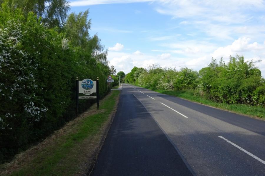
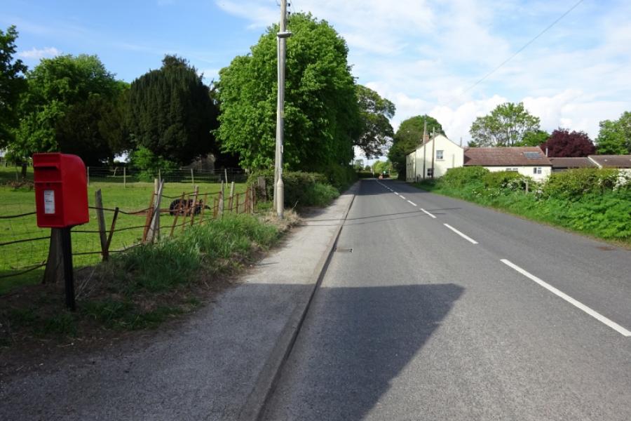
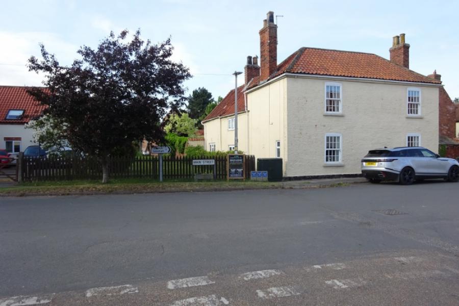
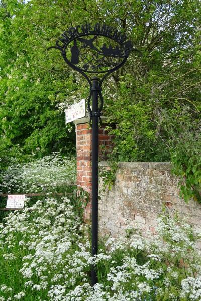
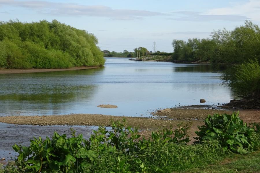
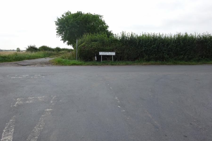
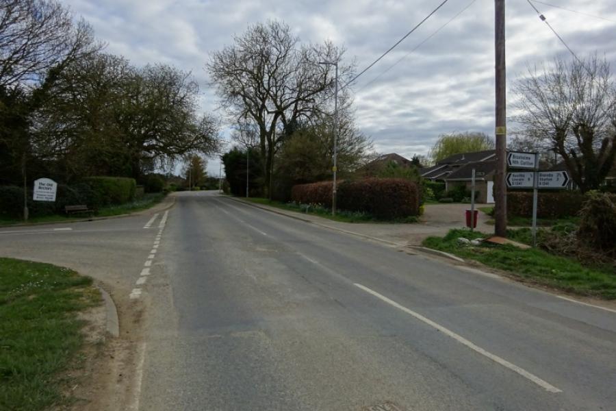
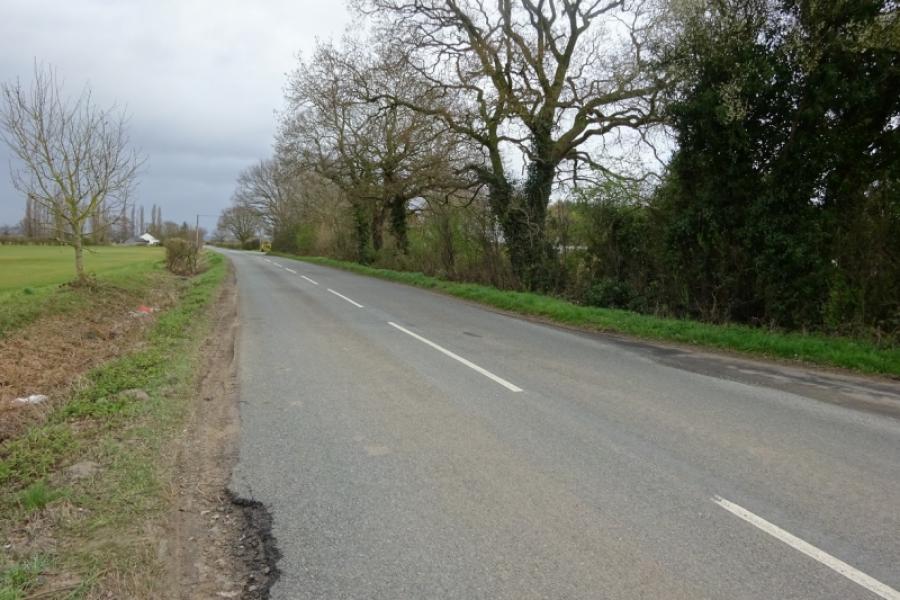
(2) Follow the road north, past the two houses but not crossing the bridge over the sustrans track as that is south! Reach the turning for Fledborough village, on a bend, there is an optional short detour (about an extra mile) to the church from where there is a good view of the Fledborough viaduct. Retrace back to the main road. Turn right and follow it through Ragnall to reach the busy A57 at the crossroads to the west of Dunham. Cross over and follow the road, passing a turning for Dunham then take the first turning for Laneham. Reach a T junction and turn right onto the Main Street. Continue through the village and on to Church Laneham where some may wish to picnic by the river or sample the food and drink at the Ferryboat Inn. Continue out of Church Laneham until the road goes left and a rough track continues ahead aiming directly for Cottam Power Station. Stay with the road going left, Helenship Lane. Follow this to a T junction then turn right (the opposite way to the sign for Rampton Road!) and soon reach Rampton village. The famous hospital is not actually in Rampton but about 1.5 miles away in another village!
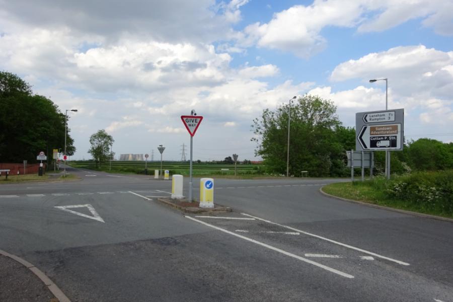
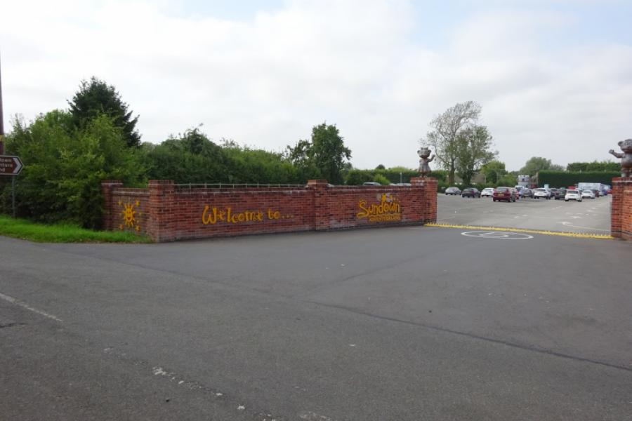
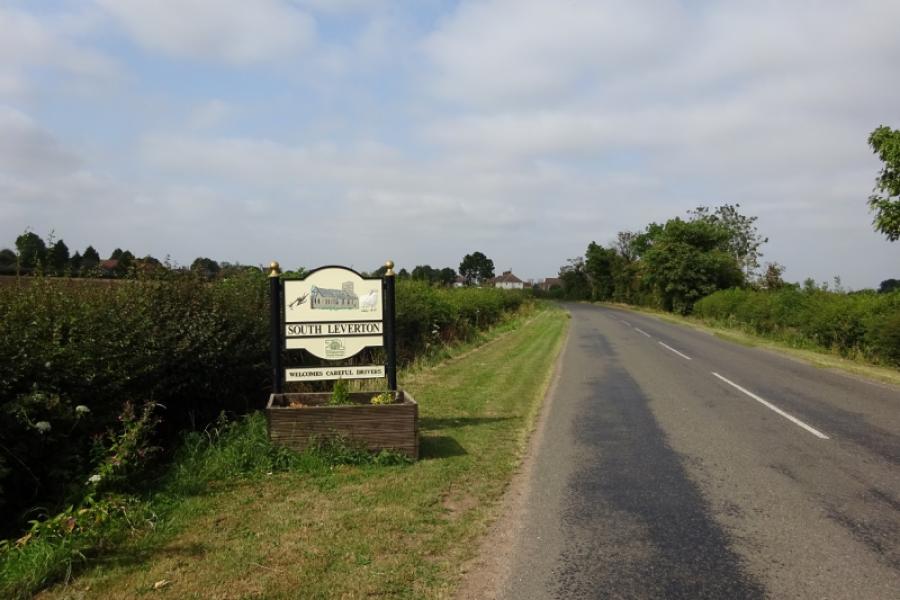
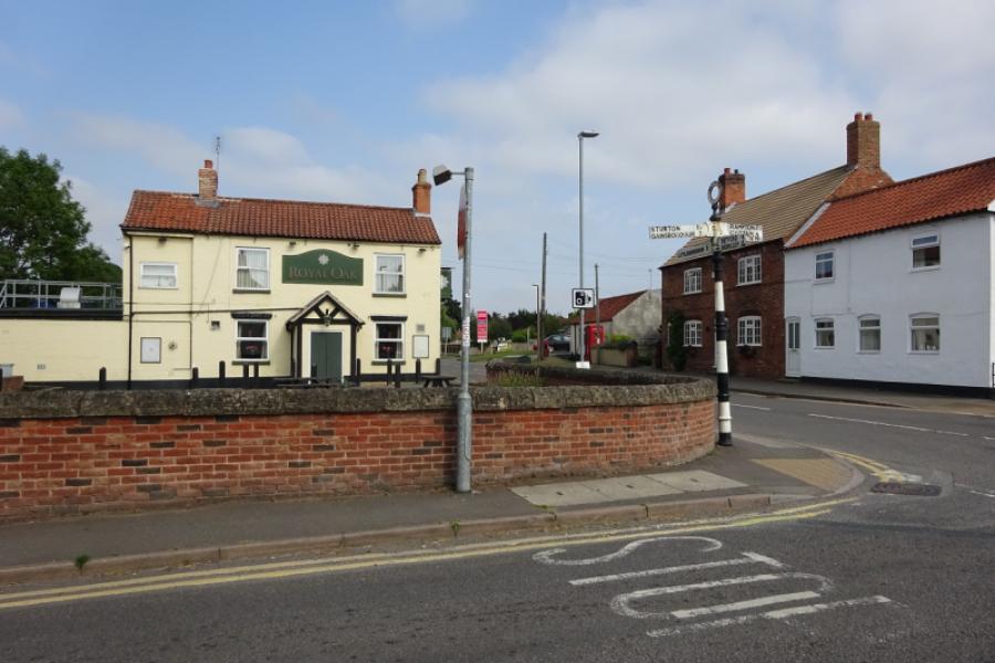
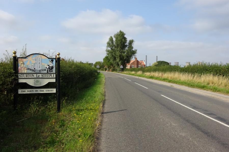
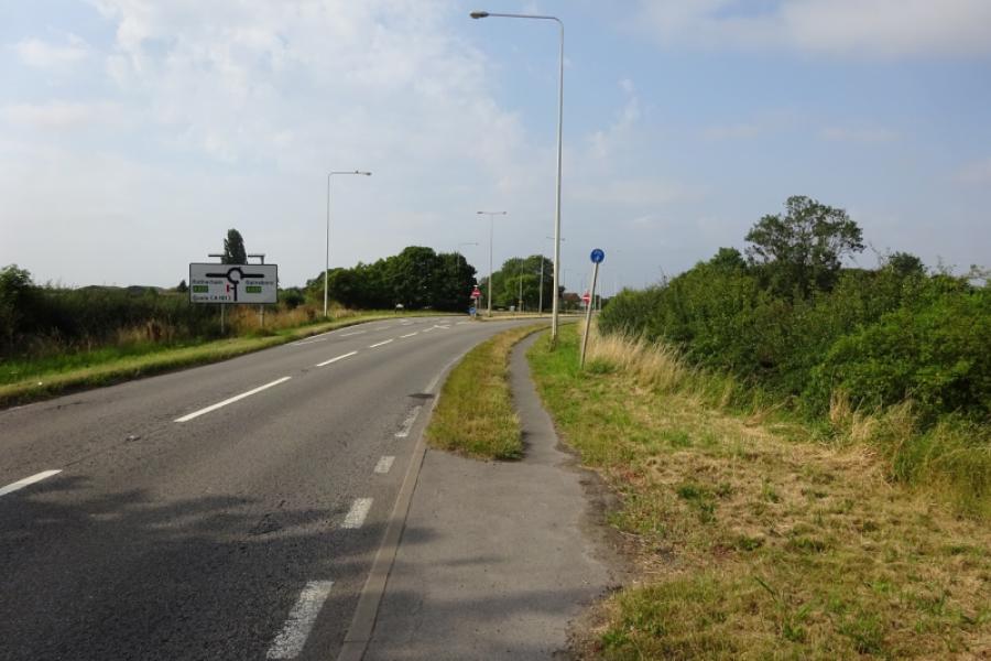
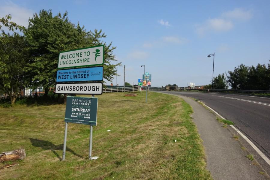
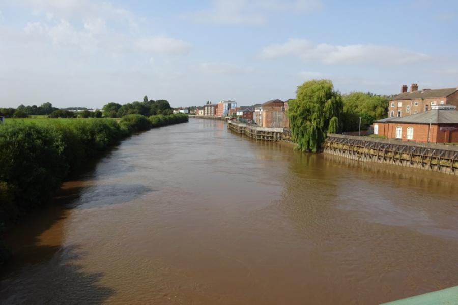
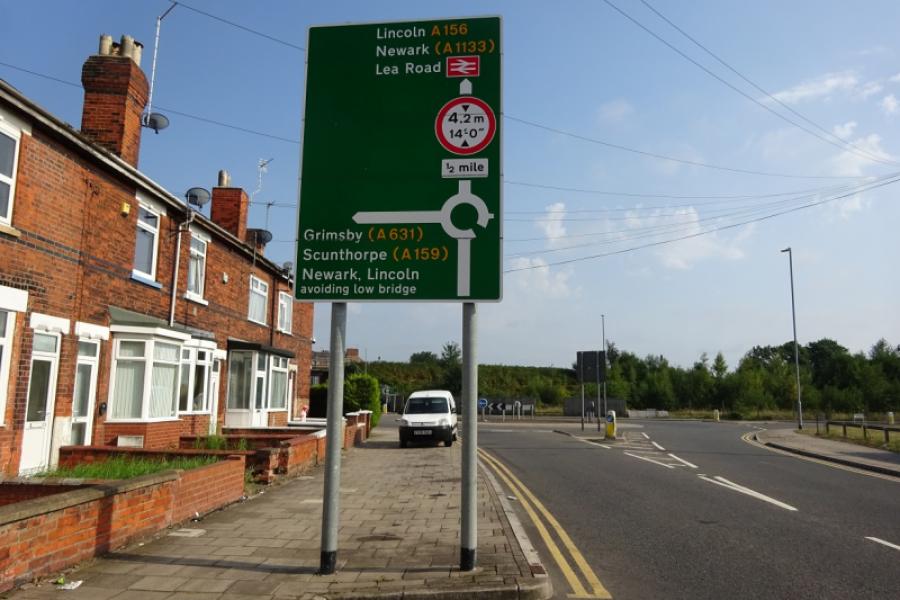
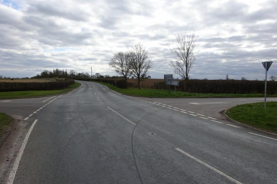
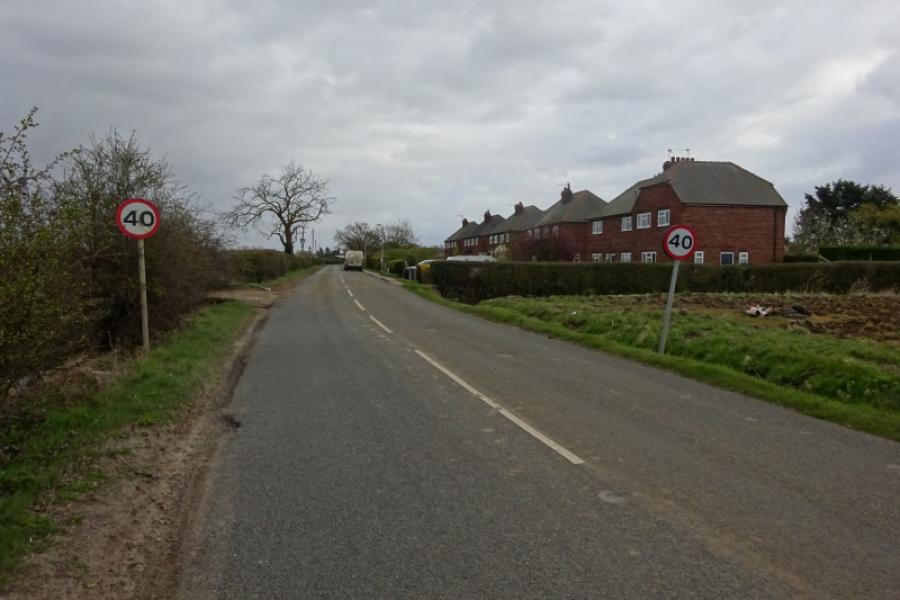
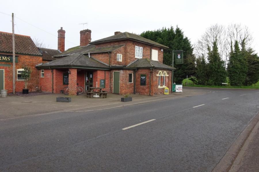
(3) Continue through Rampton passing the pub and church and continue out on a winding road. Pass the entrance to Sundown Adventureland. Reach a T junction and turn right then left at the next one to reach Treswell. Pass through most of the village but look for a right turn for South Leverton which goes slightly uphill. Follow this road to and through South Leverton, across a level crossing then into North Leverton. Go straight across the crossroads and continue to Sturton le Steeple. After most of the village has been passed go left then right, signed for Gainsborough. Follow the road, over a railway bridge and past West Burton Power Station to join the A620 (Gainsborough to Retford road) at a roundabout. Go right and follow the A620 thorugh Saundby to reach a larger roundabout on the A631. This road is very busy so the safest way is to use the cycle track on the right as you approach the roundabout, follow it right then cross over the busy road to gain the cycle track on the north side of the road. Follow the cycle track to Trent Bridge and enter Gainsborough.
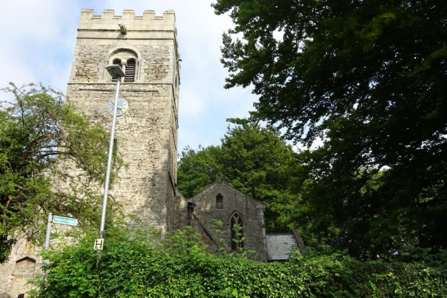
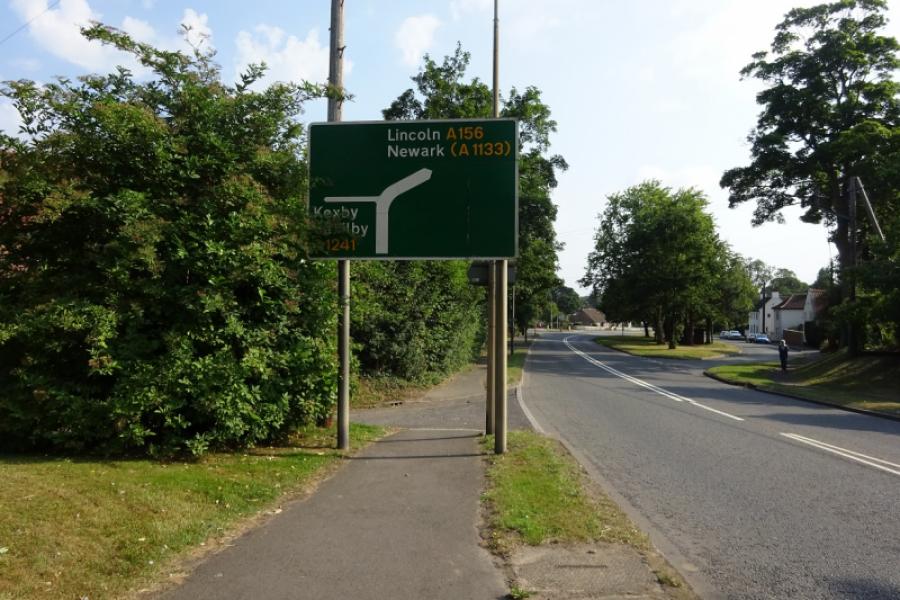
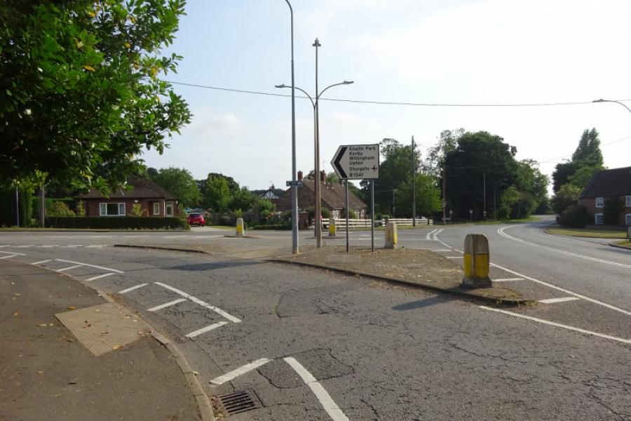
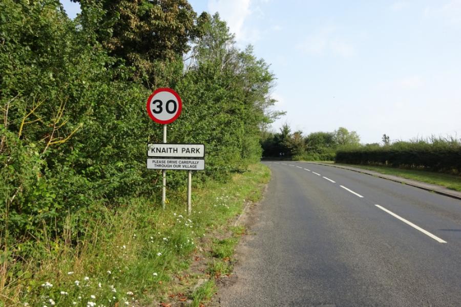
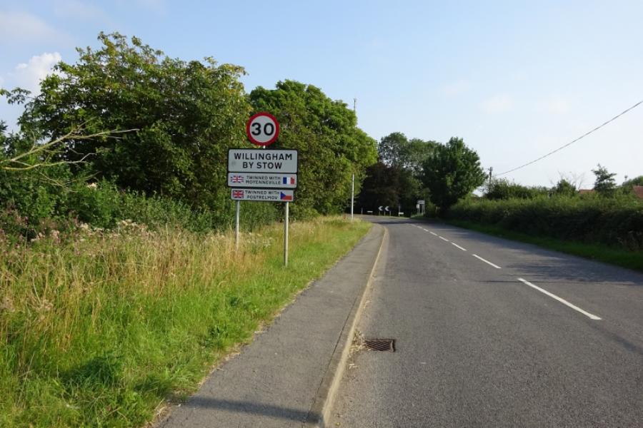
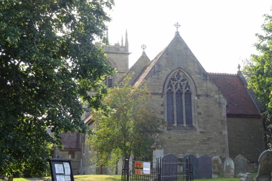
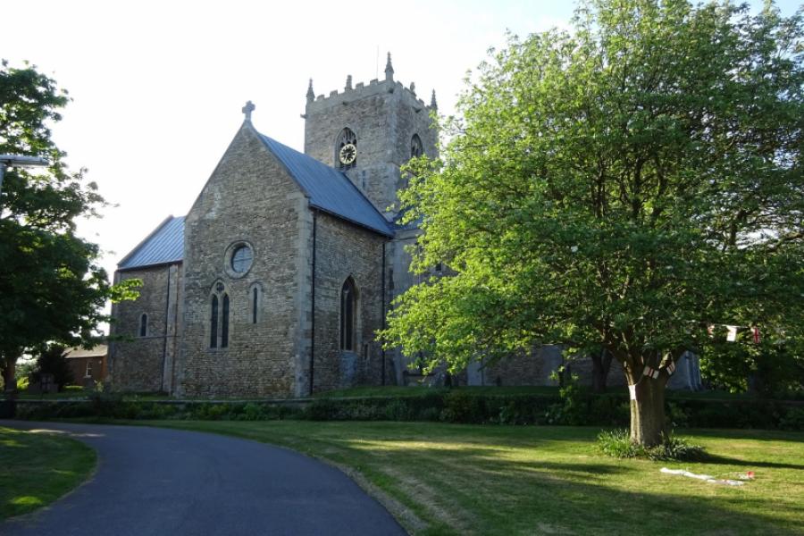
(4) Cross over the bridge then take an immediate right turn into Lea Road. Follow this, going straight on at the next roundabout. Continue and pass under a railway bridge (the road sometimes floods after heavy rain). Continue to reach Lea which seems like a southern extension of Gainsborough. Soon after, take the left turn for Kexby and Saxilby; this initially goes uphill then passes through Knaith Park before passing groups of houses. Reach a sweeping right hand bend and follow it round then uphill before reaching Willingham by Stow. Continue on the B1241, going right at the church then pass through Normanby by Stow before reaching Stow. It is worth cycling around the impressive Stow Minster.
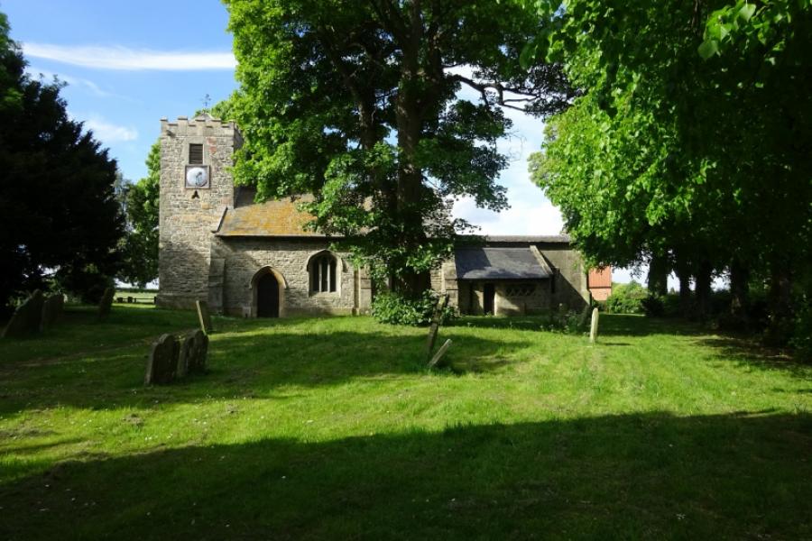
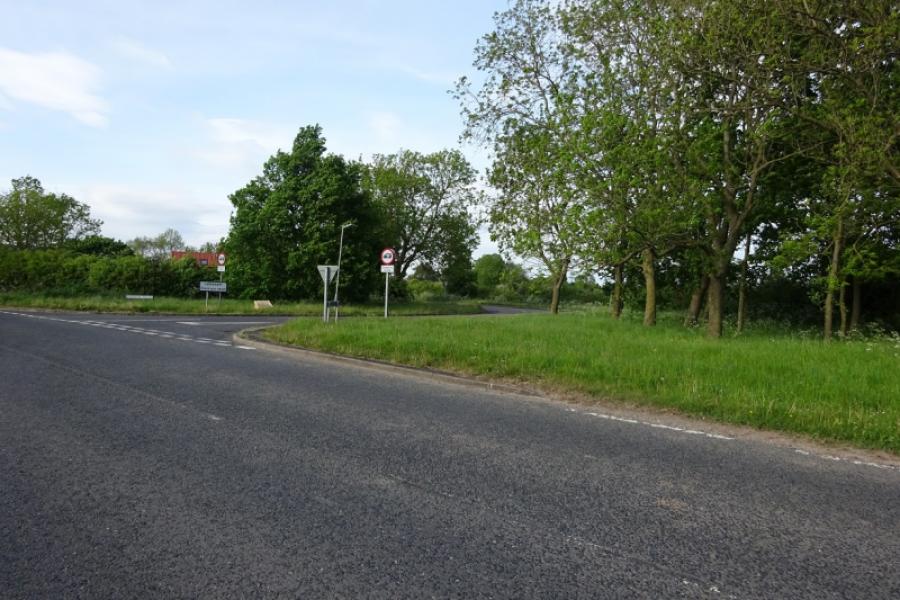
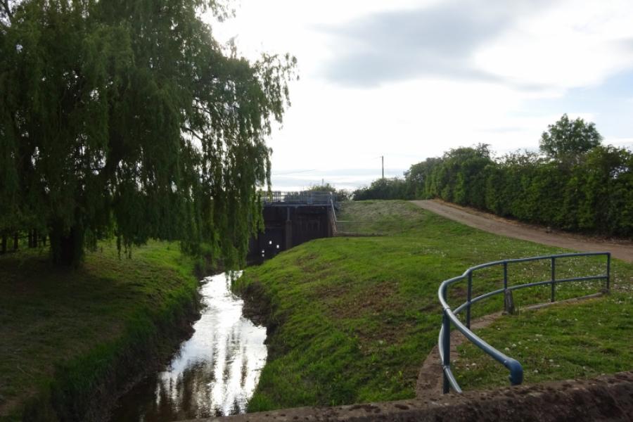
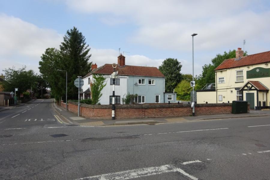
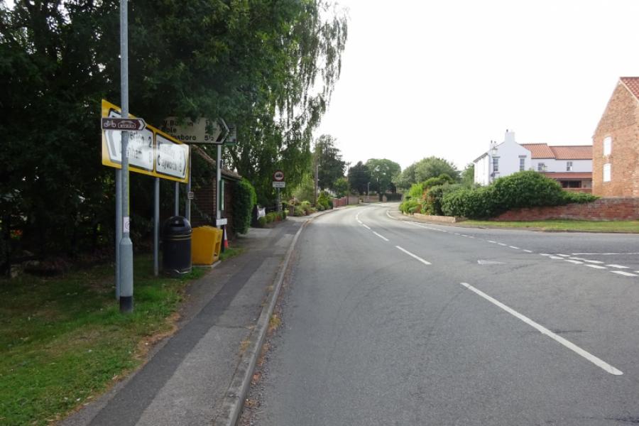
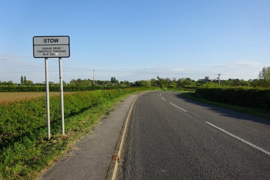
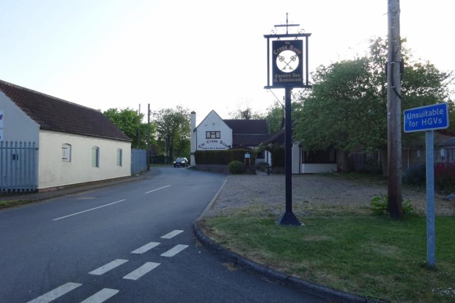
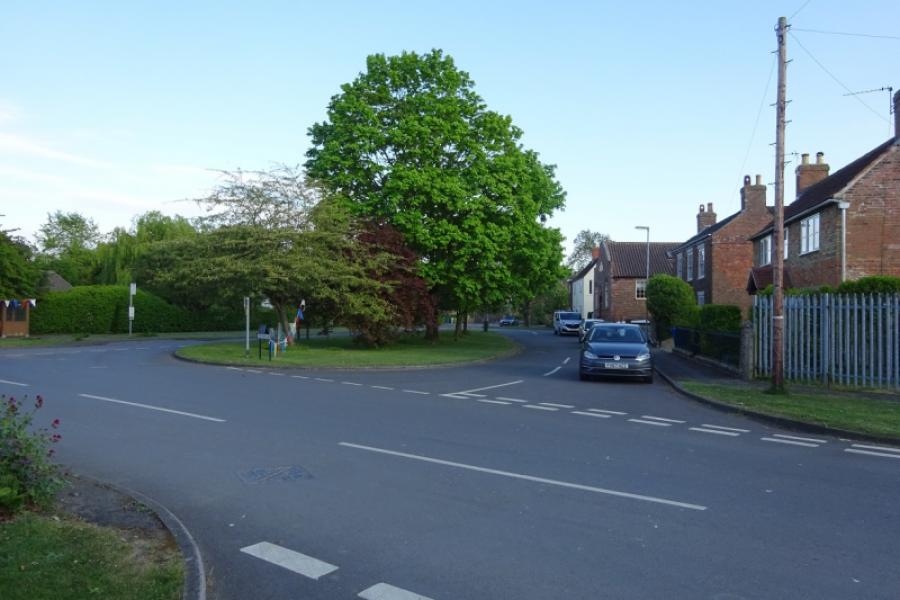
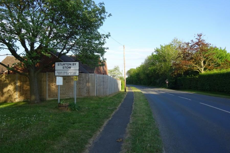
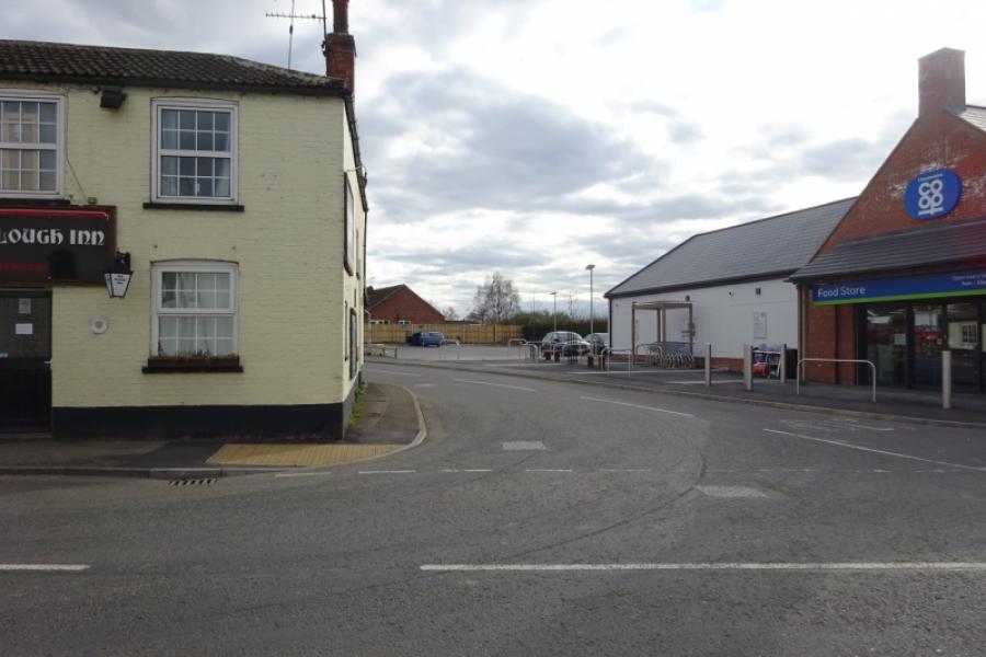
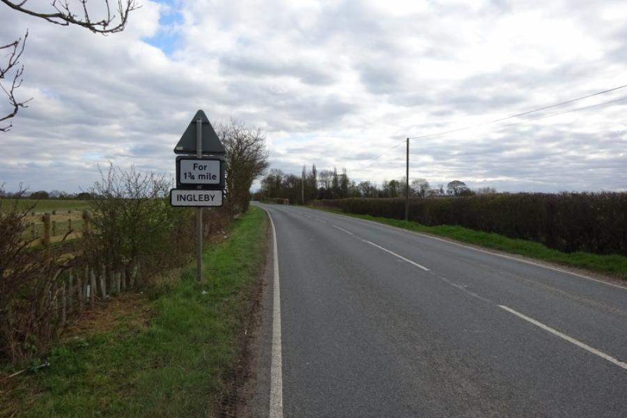
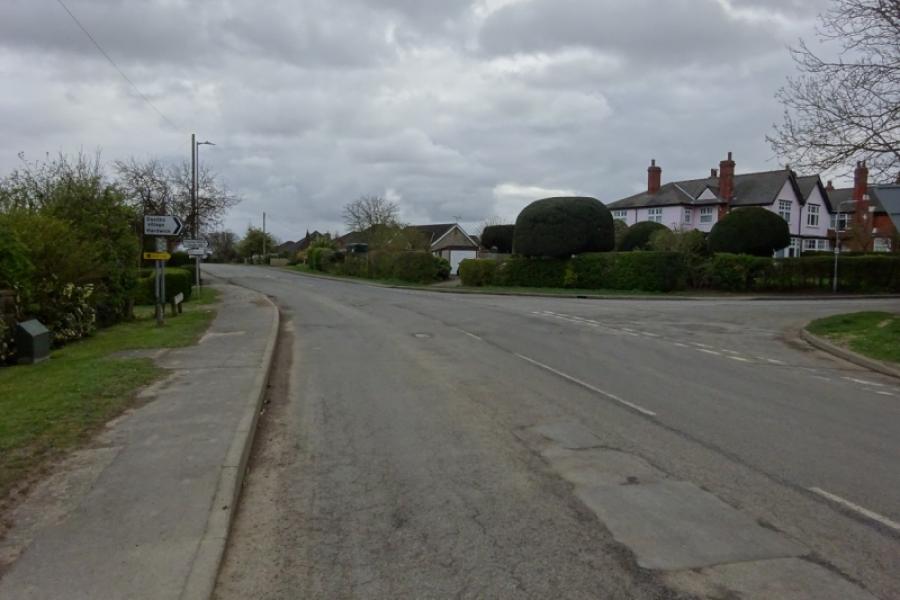
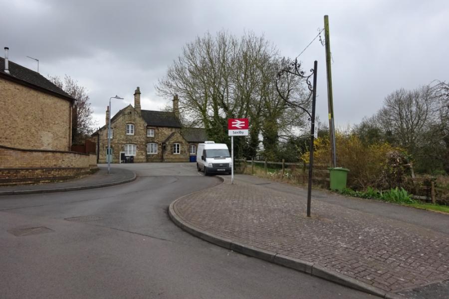
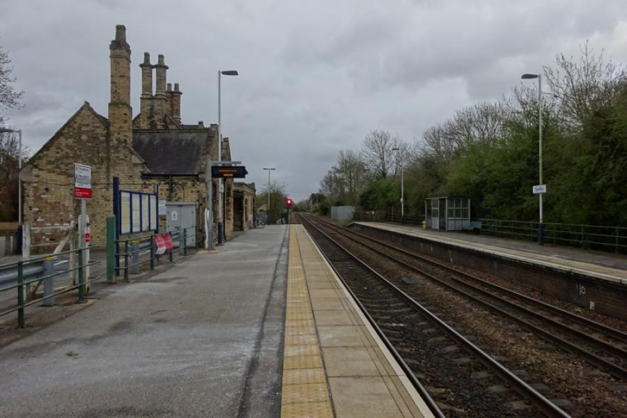
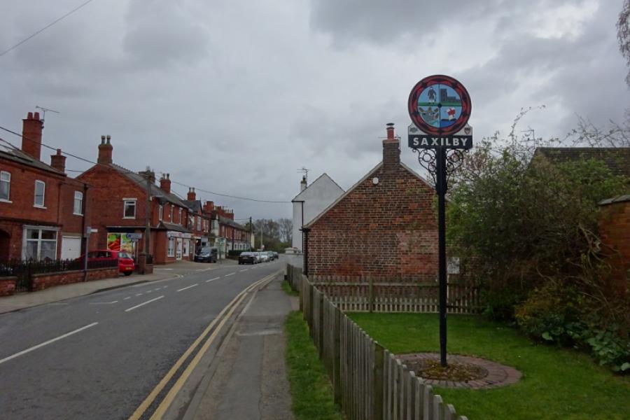
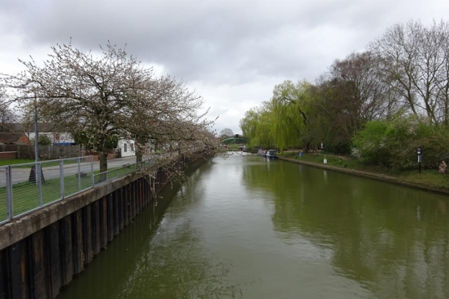
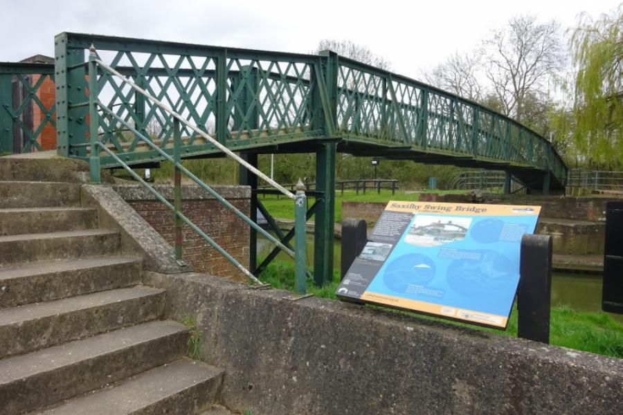
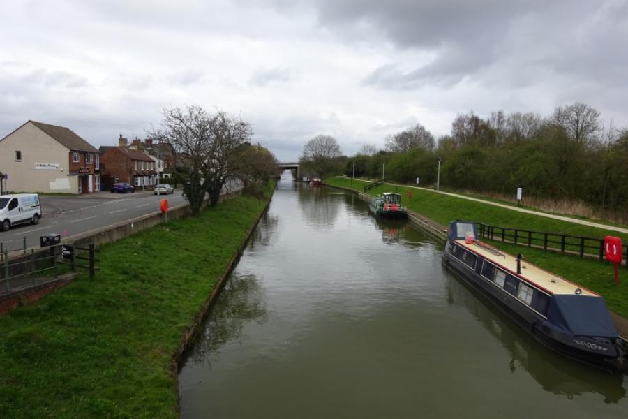
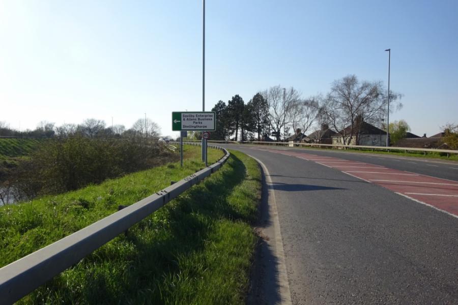
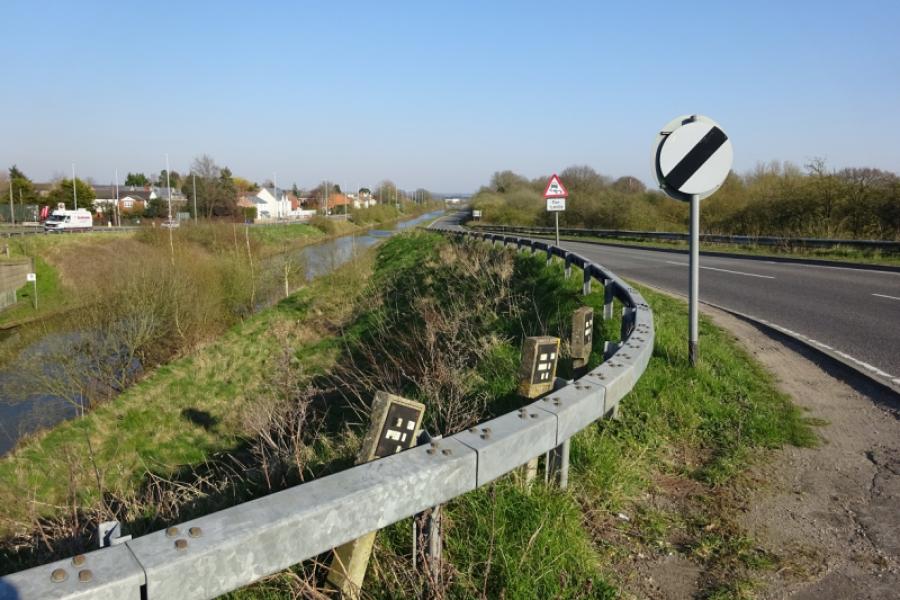
(5) Continue to reach Sturton. Turn left onto Tillbridge Lane then immediate right to take the road between the Plough Inn and the Co-Op which is the road to Saxilby. Follow this out of the village. Cross the road from Bransby to Torksey then reach the strung out hamlet of Ingleby which starts with Ingleby Chase and finishes with Ingleby Grange with about a mile in between. Continue and soon reach the edge of Saxilby then pass the road from Broxholme. Continue then take the right turn signed for Saxilby village. Pass the church, short detour on the right, and continue past the Co-Op into the village. The station can be visited by a short detour on the right after passing the village hall. The road eventually runs alongside the Foss Dyke before leaving the shops behind and bends round to reach Mill Lane. Turn right to reach the busy A57. Turn right and go up onto the bridge then take the left turn on the top of the bridge for Skellingthorpe.
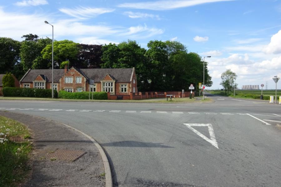
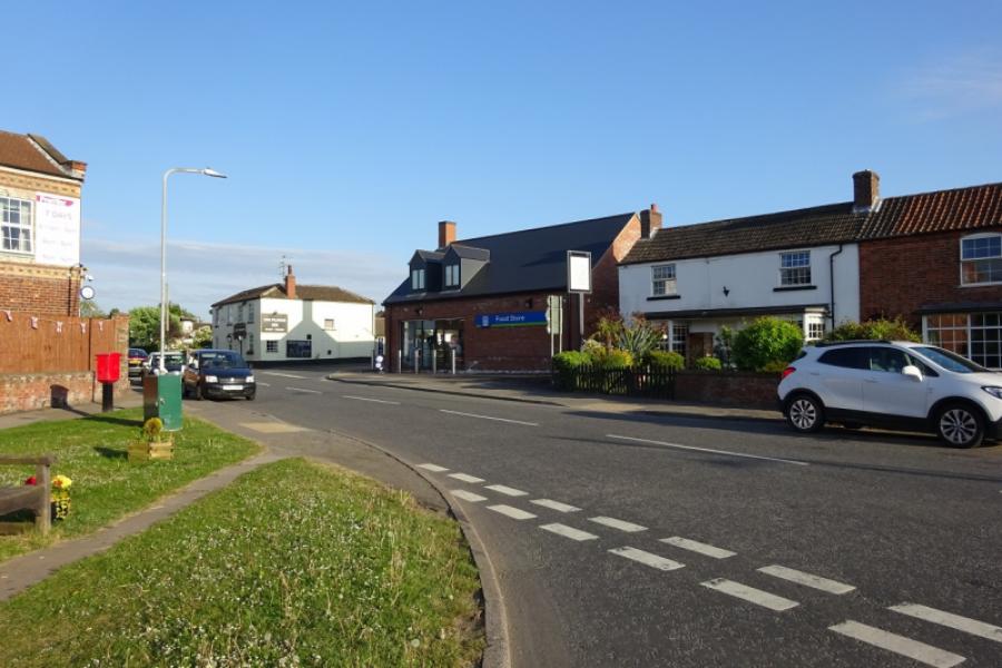
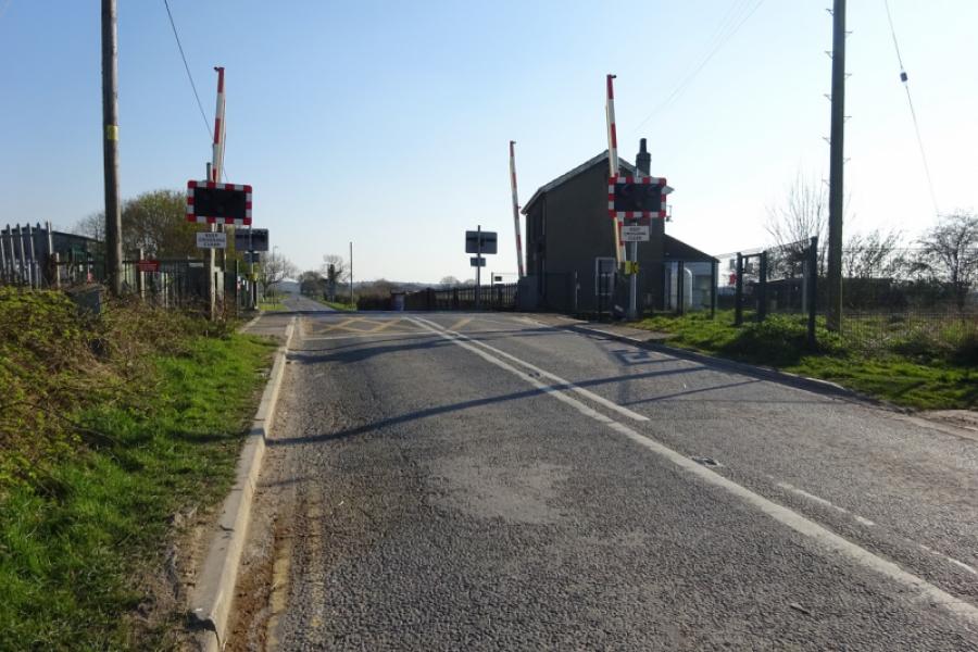
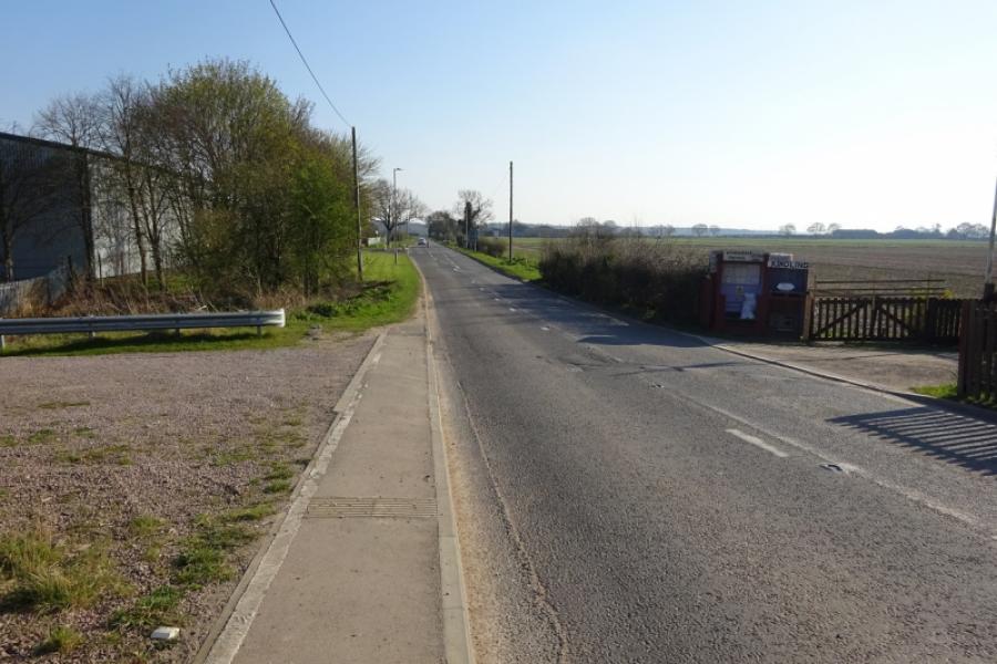
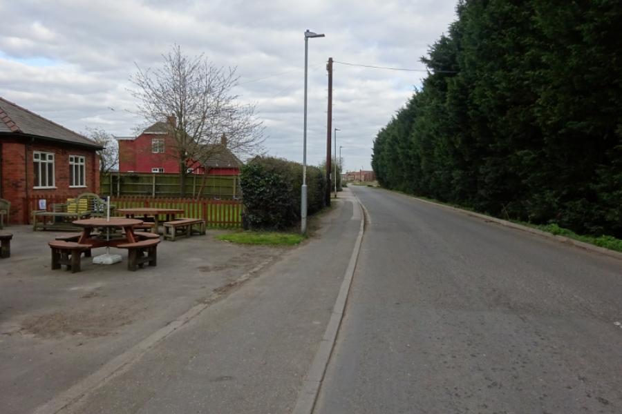
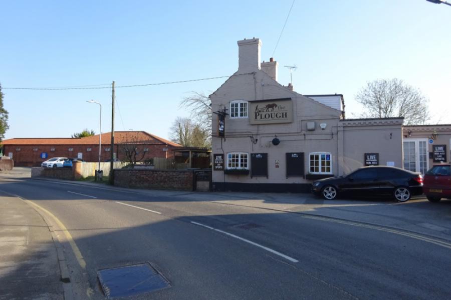
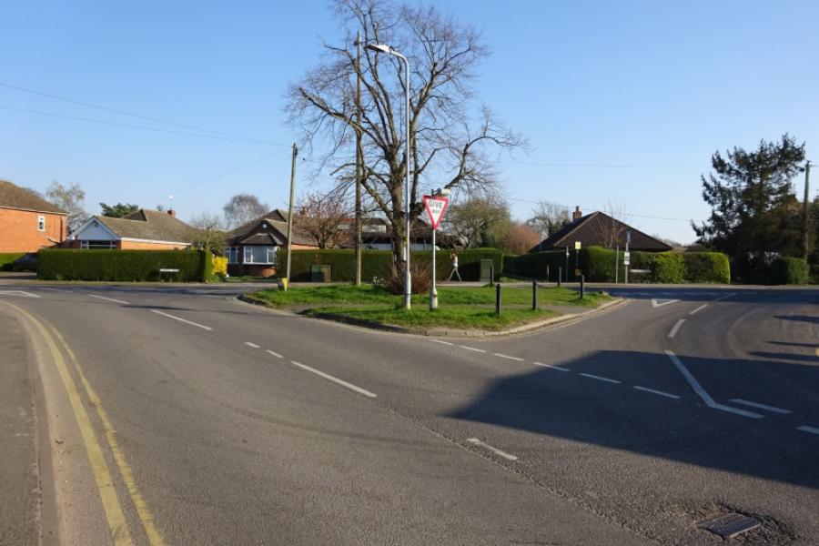
(6) Follow the back road towards Skellingthorpe, initially alongside the Foss Dyke then over a level crossing. Continue past a small industrial estate then around a left handed bend to pass the road, on the right, into the Old Wood. Stay on the road and continue towards Skellingthorpe. Reach the village, pass the Stones Arms then the Plough Inn and Co-Op to reach a triangular junction. Turn left and follow the road back to the community centre.
Notes
(a) This cycle ride took place in August, 2020
(b) Saxilby village can be avoided by not taking the right turn after the Broxholme road. Just continue straight ahead to reach the A57.
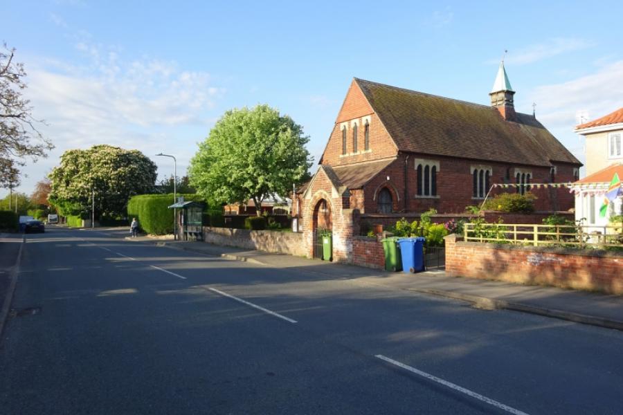
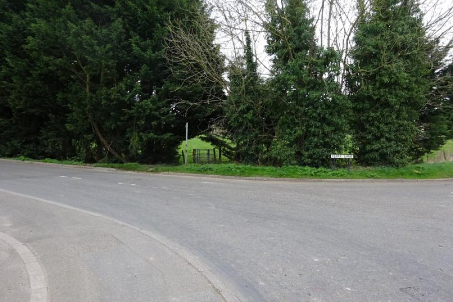
(c) An alternative way through Skellingthorpe is to turn left at the Stones Arms and go down Ferry Lane, taking the first right and following the road past the church to come out on a corner on the main road through Skellingthorpe where you turn left and soon reach the start.
Photos - Hover over photo for caption. Click on to enlarge. Click on again to reduce.

![]()
![]()


![]()


![]()

![]()
![]()
![]()
![]()