Get Lost Mountaineering
You are here: England » Lake District » 4 Southern Fells
Hard Knott via Border End from foot of Hard Knott Pass
Hard Knott via Border End from foot of Hard Knott Pass
Start/Finish
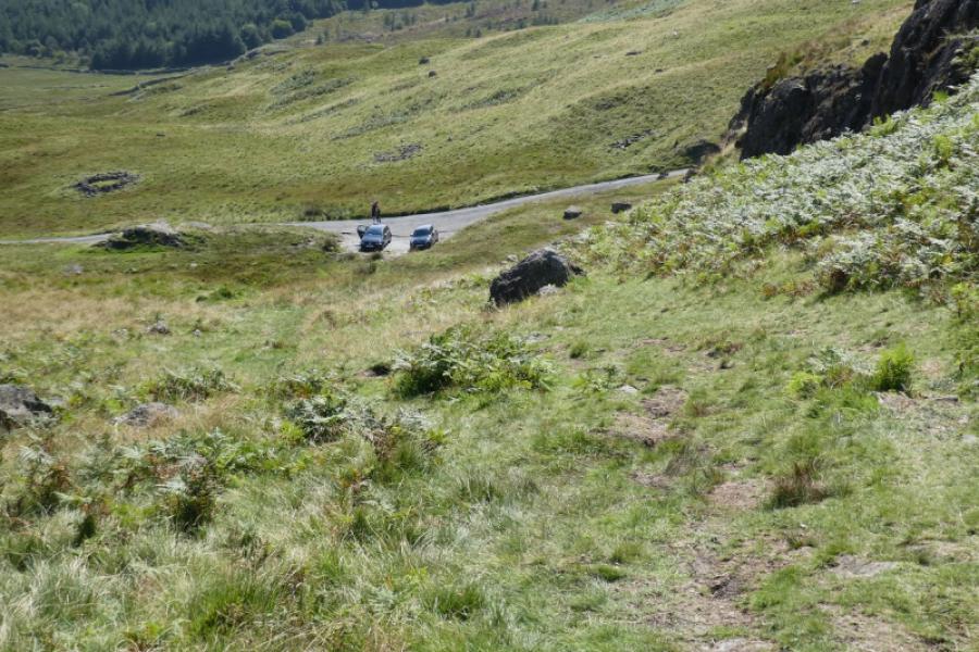
Car parking about 200 m up Hard Knott Pass on the Eskdale side.. At the foot of the pass is an old red telephone box and a warning sign about the steepness of the pass. If there is no space in this small car park then drive back down and park as close as possible.
Distance/Time
7 km About 3 – 4 hours
Peaks
Hard Knott, 549 m, NY 232 024. OL6 South Western Lakes
Introduction
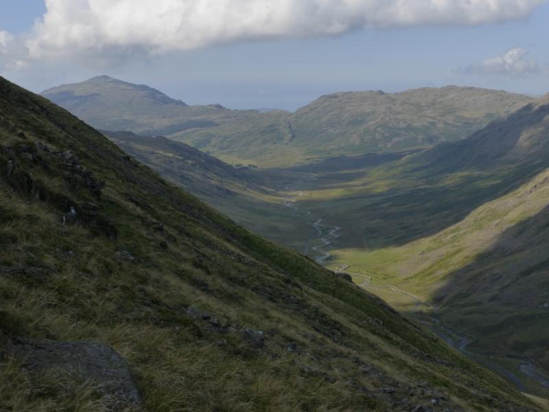
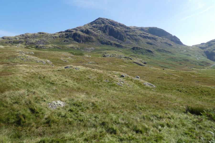
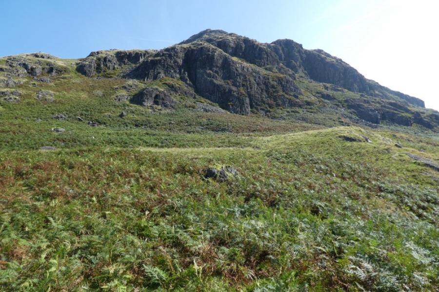
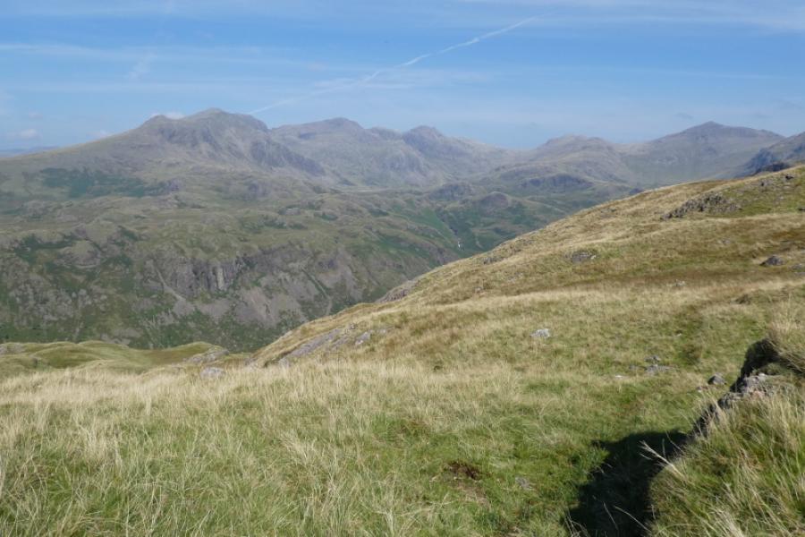
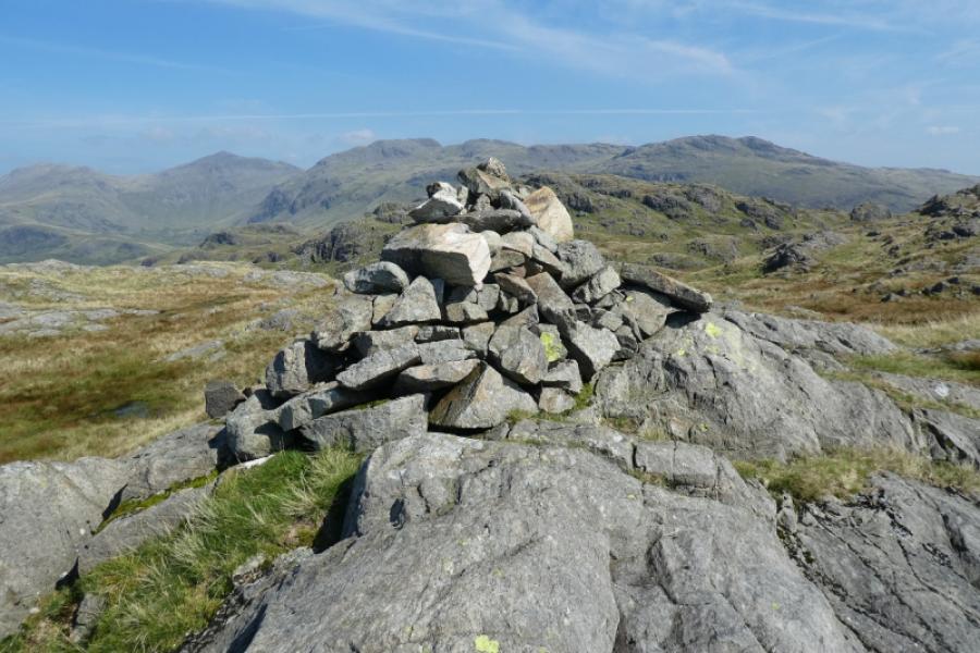
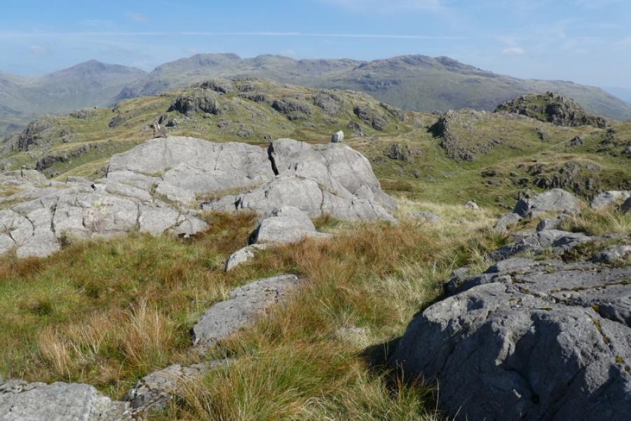
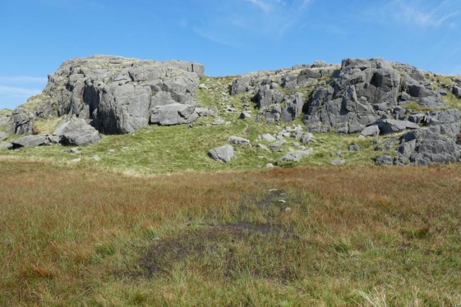
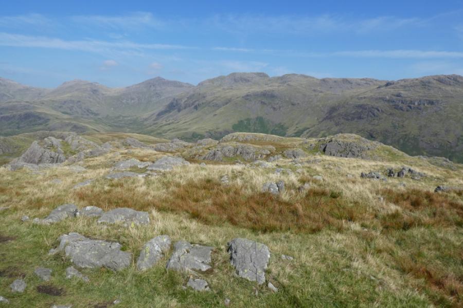
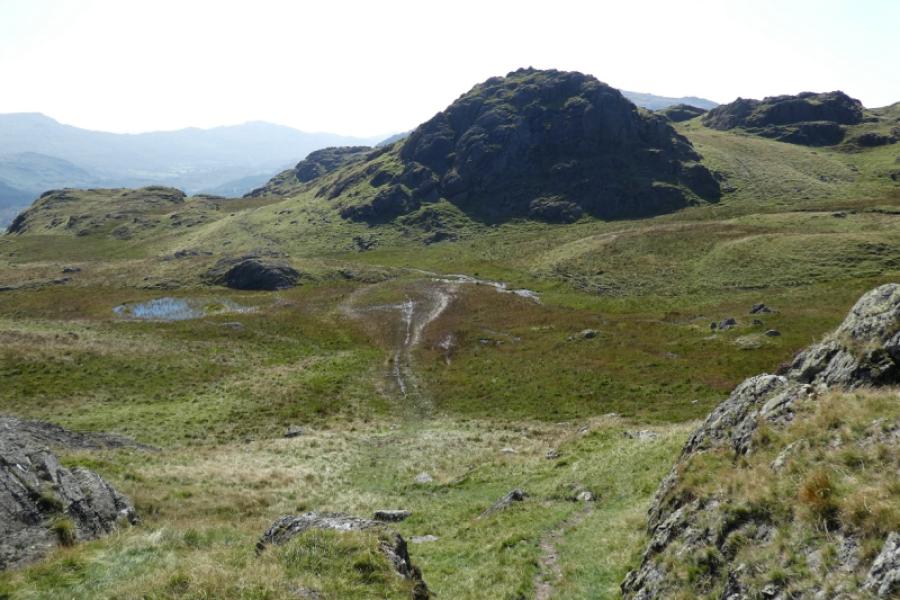
Border End, a subsidiary top of Hard Knott, dominates the north side of Hard Knott Pass. There is a quick and easy, although boggy, path directly to the summit from the top of Hard Knott Pass but this route ascends via Border End and the Roman fort below. The route up Border End is largely pathless but not really difficult despite it looking very rocky from the bottom as all rock can be easily avoided. Views are excellent especially to Harter Fell (across the pass), Scafell, Scafell Pike, Esk Pike, Bow Fell and Crinkle Crags. On a clear day, Coniston Old Man will also be seen. Border End will be difficult to navigate in mist so best save this route for a clear day.
Route
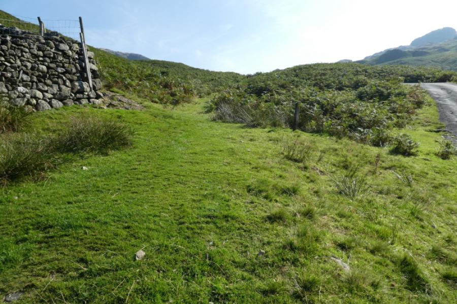
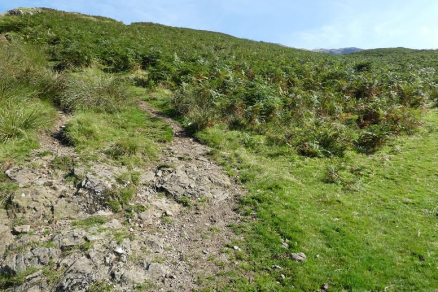
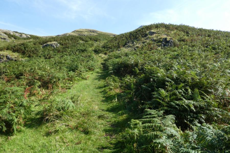
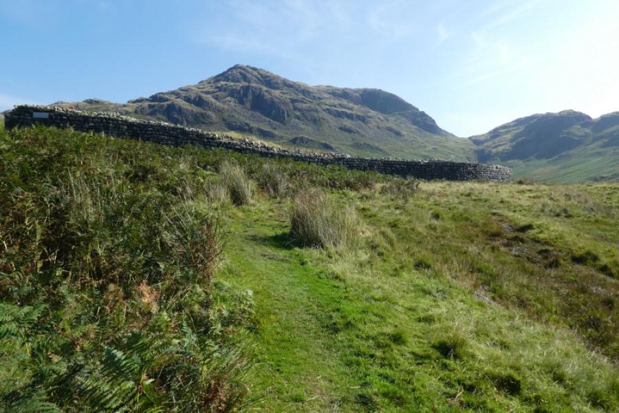
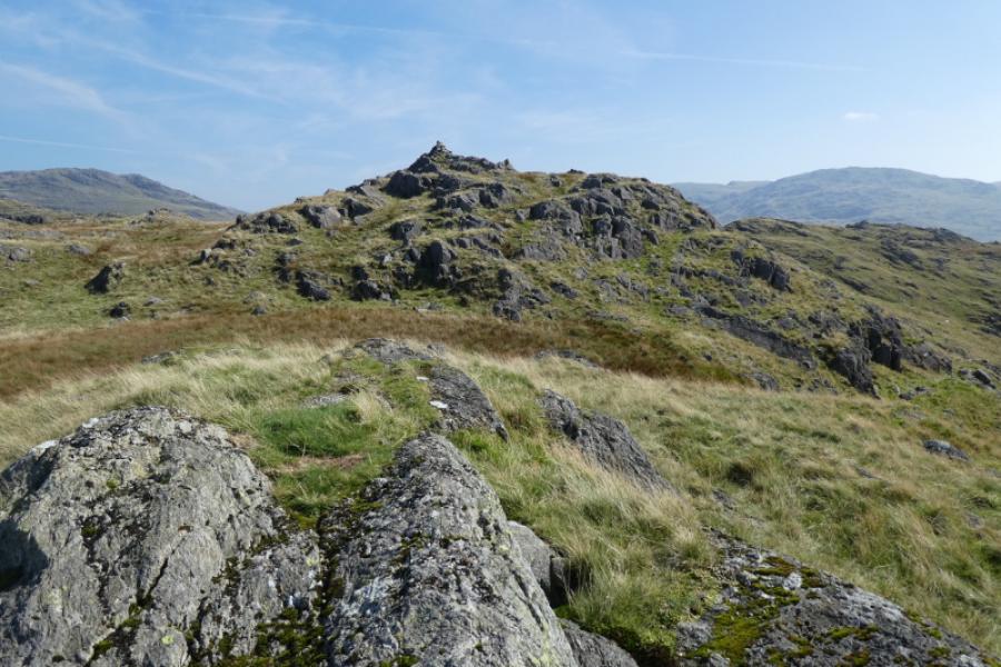
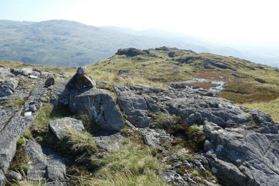
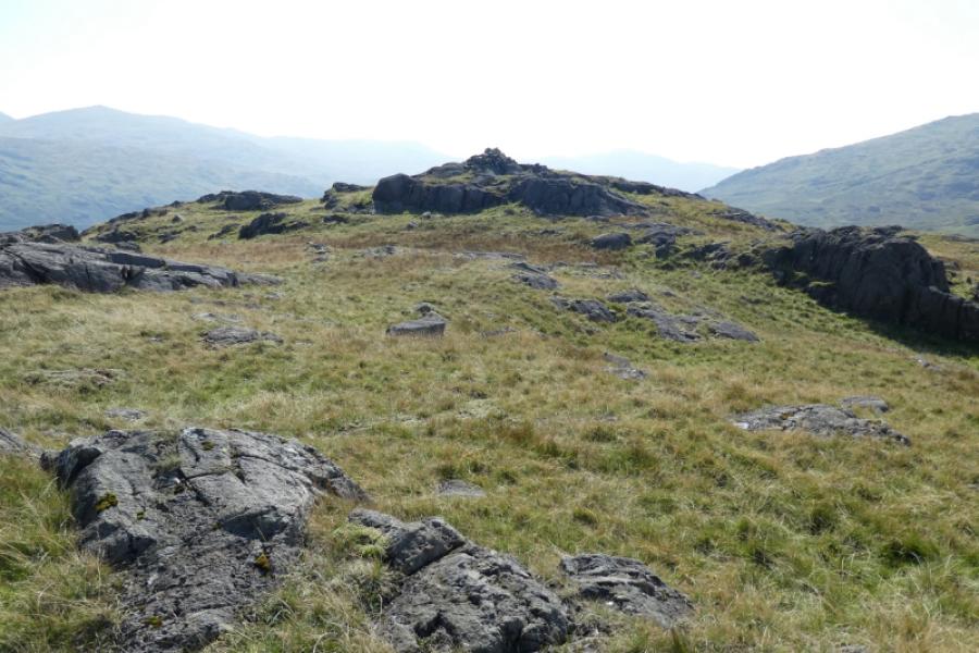
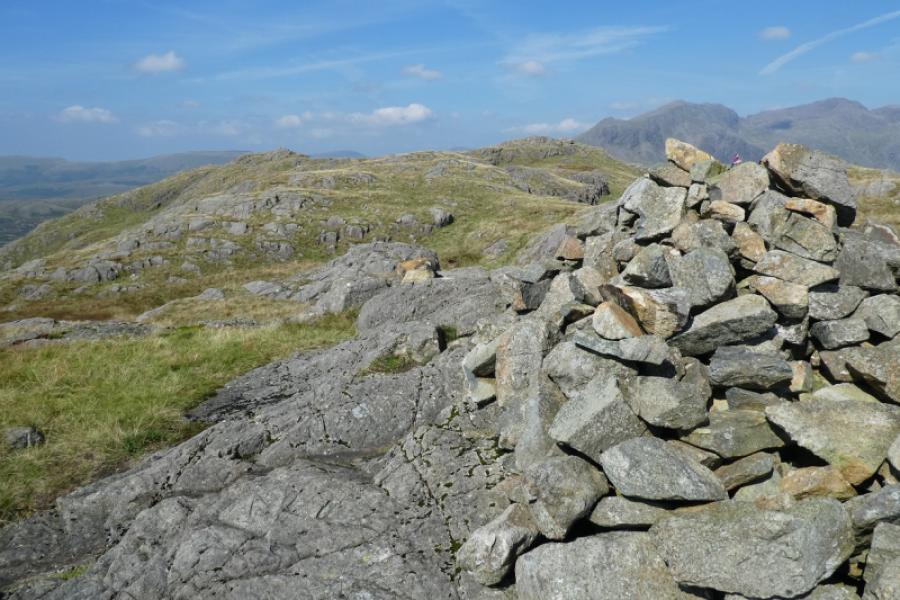
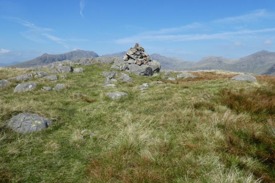
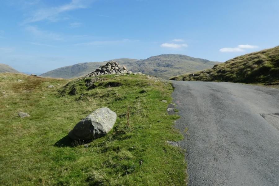
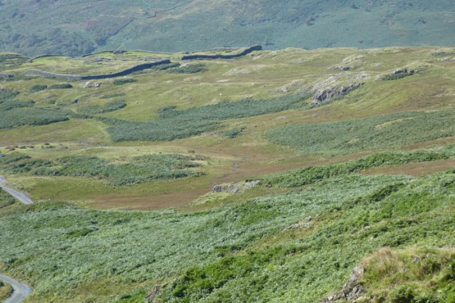
(1) From the telephone box at the foot of Hard Knott Pass, walk up the road, using paths where possible, until reaching the corner of a wall just before the zig zags. The path to the Roman fort starts here and initially follows the wall before taking one to the remains of the fort. Walk through the fort then head for the crags of Border End. There are paths lower down to take you through the bracken but then it is largely pathless. The easiest route seems to be over to the left but some weaving around may be necessary and there is no need to get onto rock. Eventually reach the distinctive cairn marking the west top of Border End then visit the middle and eastern cairns before heading north towards Hard Knott. Drifting to the right will take you onto the path from the top of the pass but, in clear weather, other paths will be seen further left. The ground is quite wet and boggy in places unlike the ascent of Border End which was largely dry. Reach the medium cairn which marks the summit of Hard Knott, 549 m.
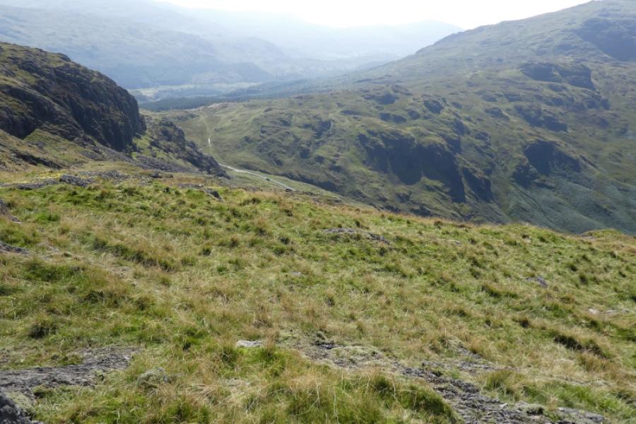
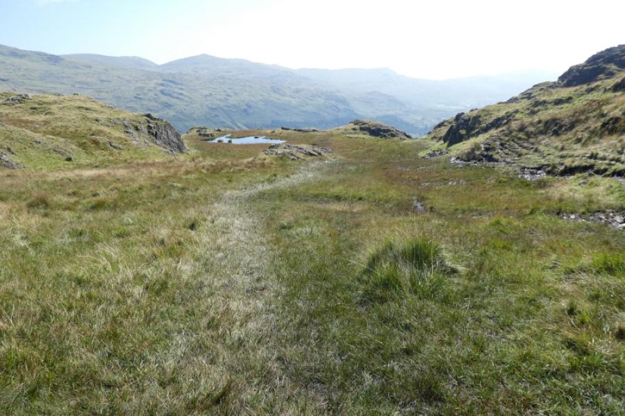
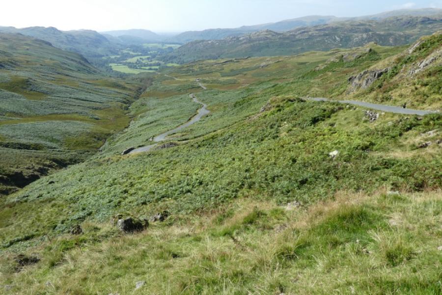
(2) Descend on the path which goes around the left end of Border End as you look from the summit. The path is easy to follow but it is quite wet and boggy in places. As it goes around Border End, it curves back rightwards and escends to the road almost at the top of the pass. Turn right and follow the road, or alternative paths, down to the start
Notes
(a) This walk took place on 31st August, 2024.
Photos - Hover over photo for caption. Click on to enlarge. Click on again to reduce.