Get Lost Mountaineering
You are here: England » Lake District » 4 Southern Fells
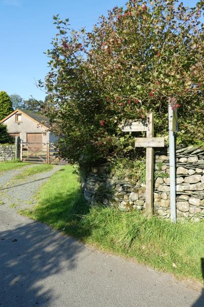
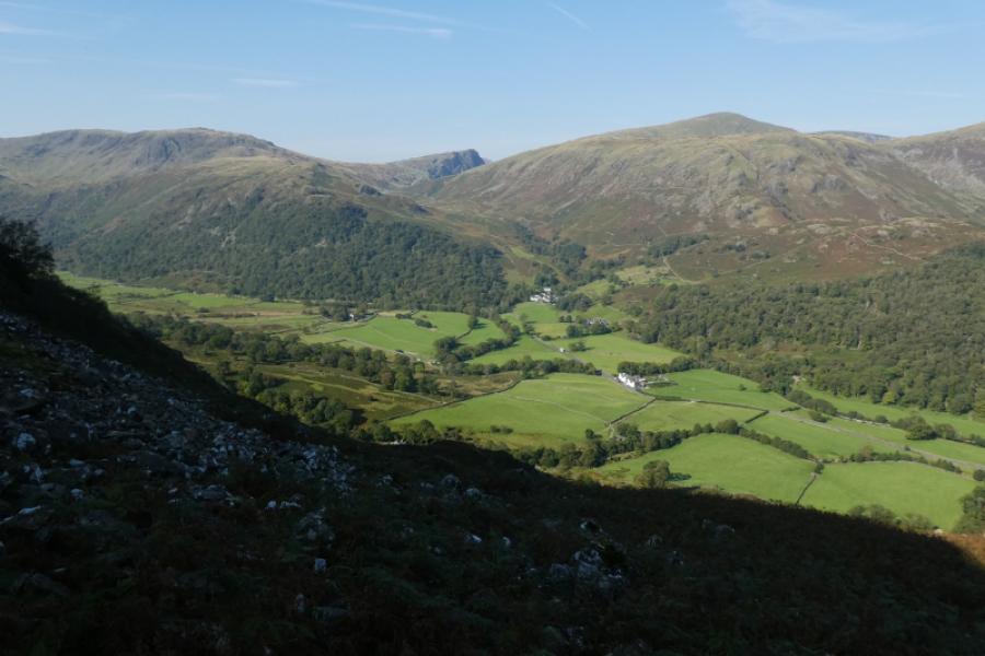
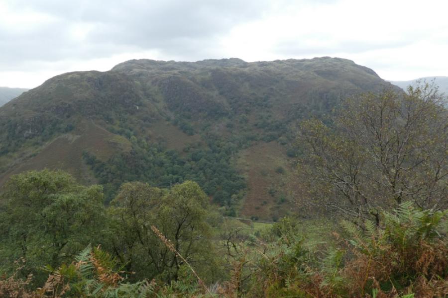
Bessyboot from near Borrowdale Church
Bessyboot from near Borrowdale Church
Start/Finish
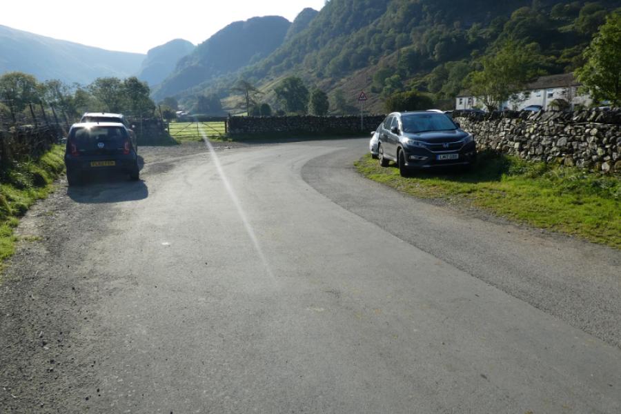
The minor road to Stonethwaite which leaves the main Borrowdale road between Rosthwaite and Seatoller. The road widens considerably on the first bend where there are many places to park on the verge. It is not easy to park near the church.
Distance/Time
6 km About 3 – 4 hours
Peaks
Bessyboot, 540 m, NY 258 125.
OS Sheet 90: Penrith & Keswick OL 4 North Western Lakes
Introduction
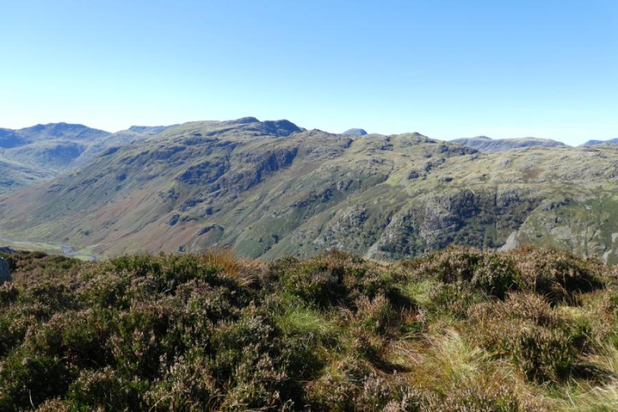
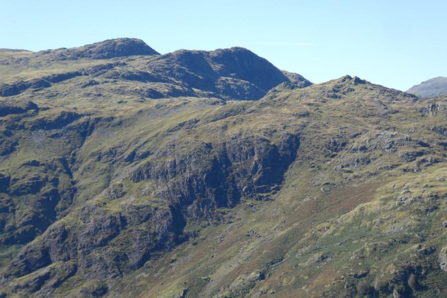
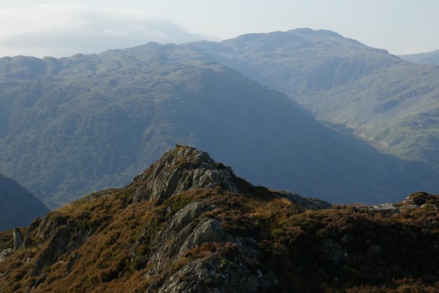
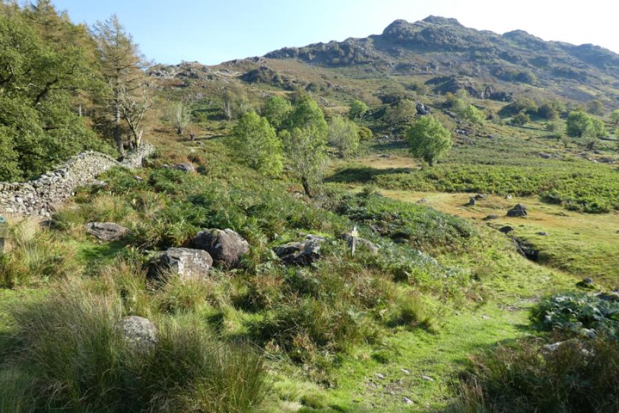
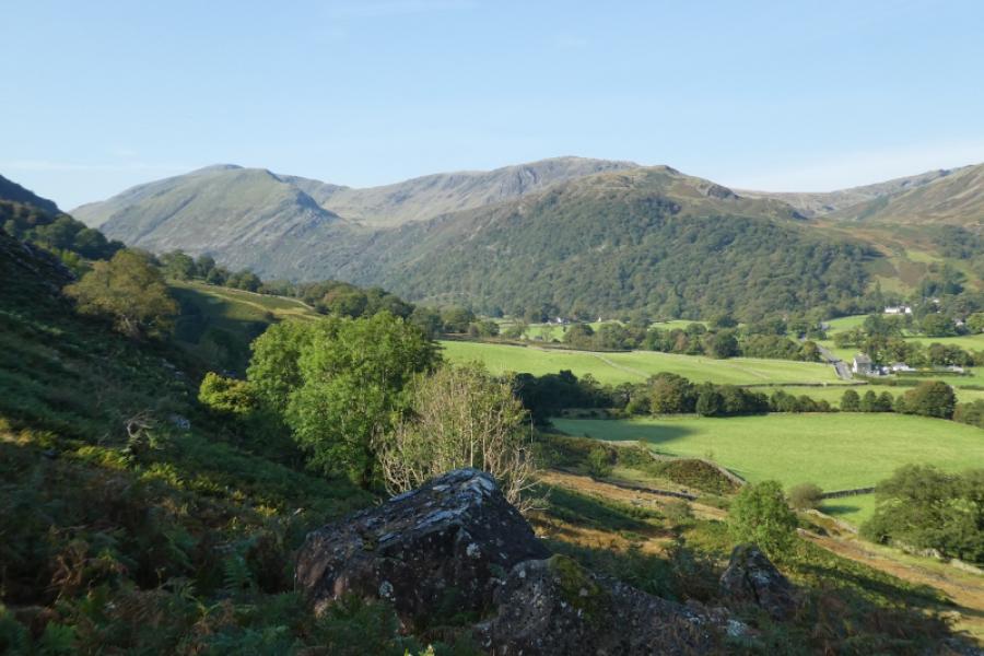
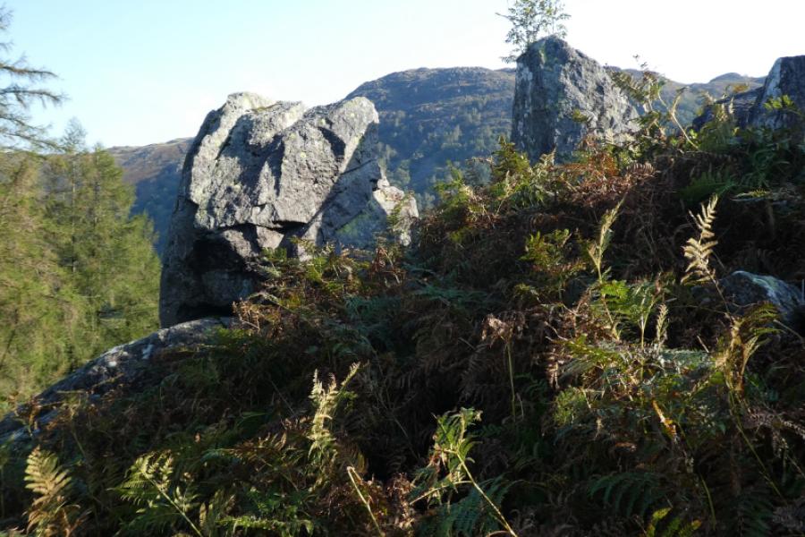
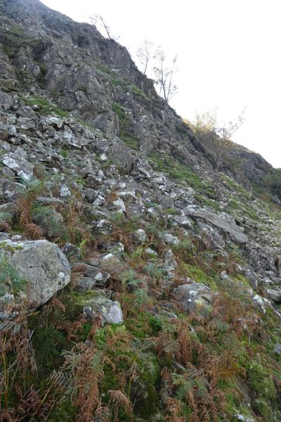
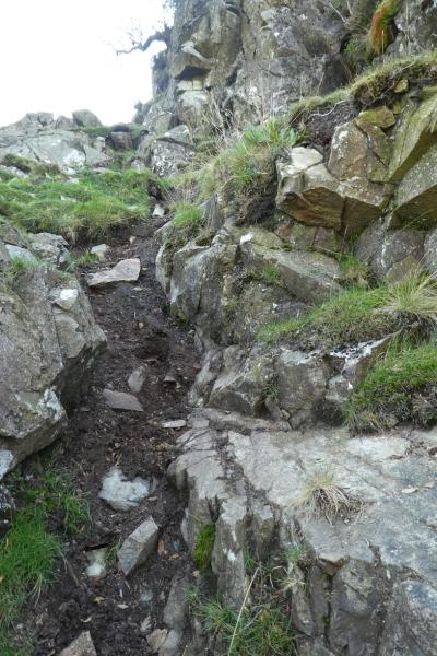
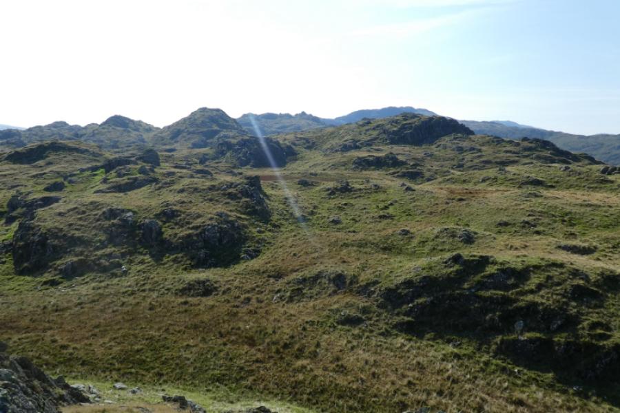
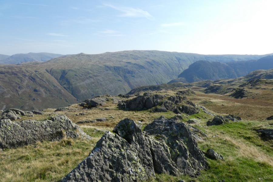
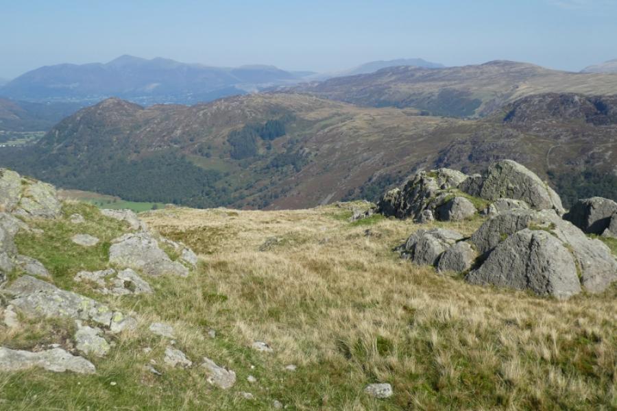
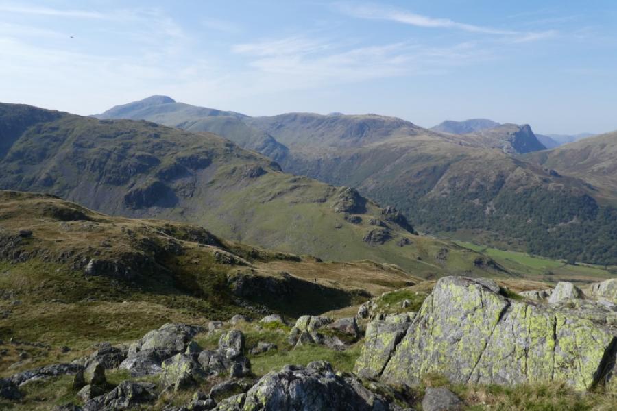
This is a tough but fairly direct route where the path can easily be lost. On stony slopes, around rock bands and in bracken. There is one awkward section of a rocky, loose soil groove which doesn't seem easy to avoid but is an easy scramble anyway. Given the nature of the terrain, this route is not recommended in poor visibility especially on the crest where is a multitude of tops of which only two are cairned to the north of Tarn at Leaves. These are Bessyboot itself and another top about 1 km north west of Bessyboot which is marked on the OL map. There are great views in all directions including Eagle Crag & Sergeant's Crag, Ullscarf, Great Gable, Base Brown, Grey Knotts, Fleetwith Pike and Dale Head with even Skiddaw, Blencathra and Helvellyn visible on a very clear day. The descent route is very gentle compared to the ascent and could be used as an easier ascent path.
Route
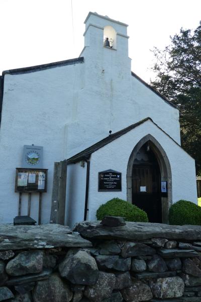
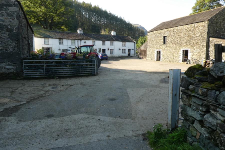
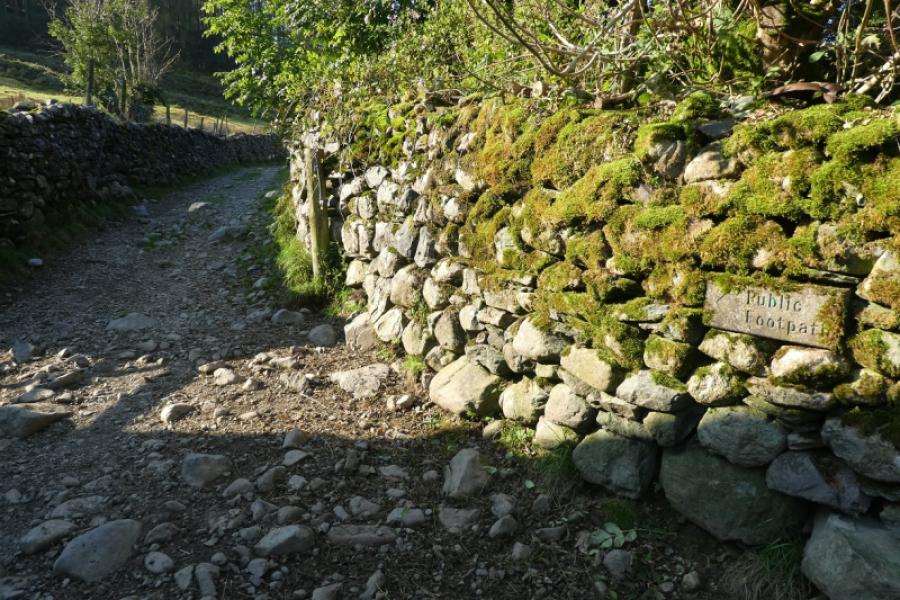
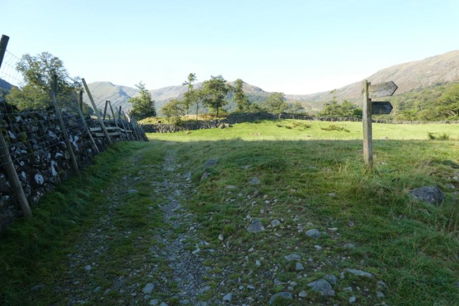
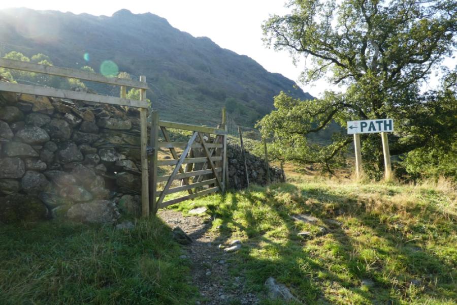
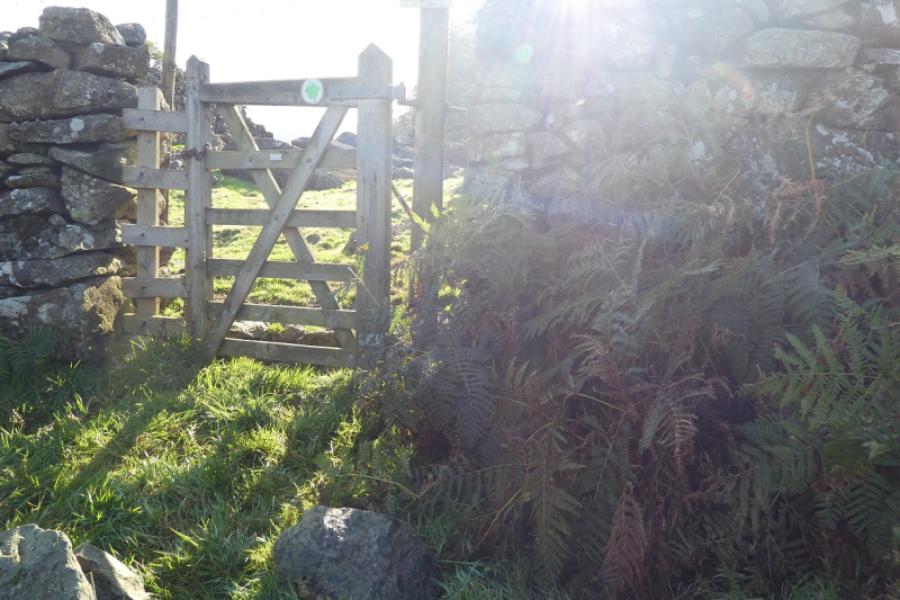
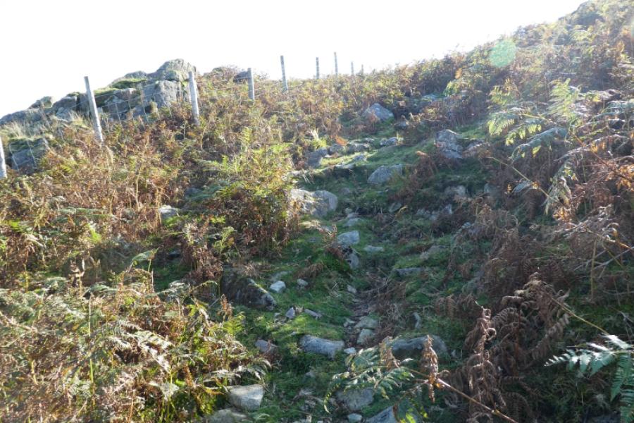
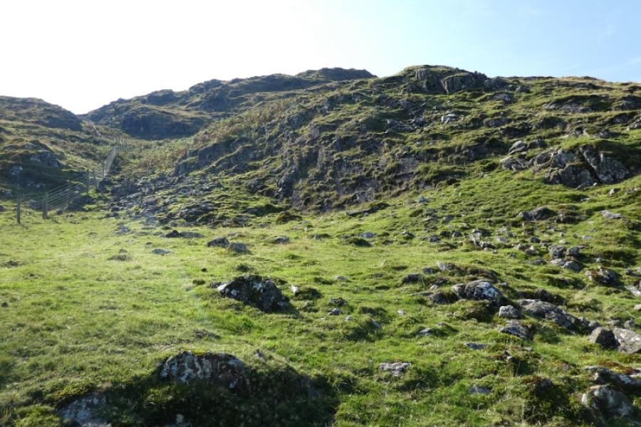
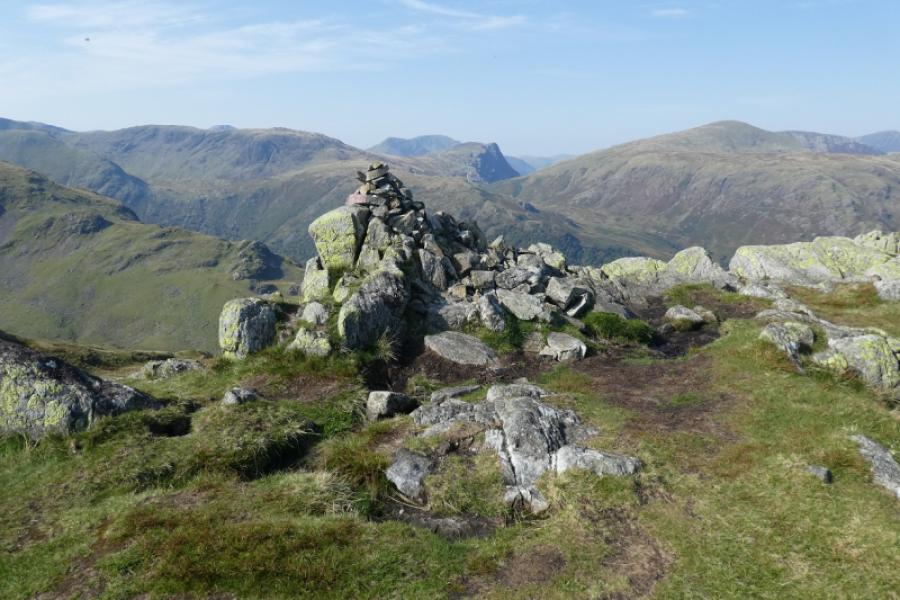
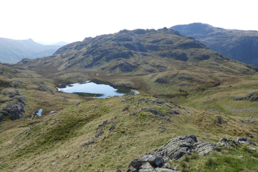
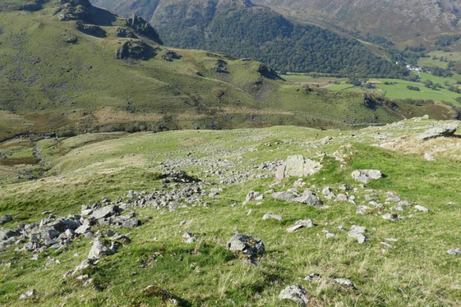
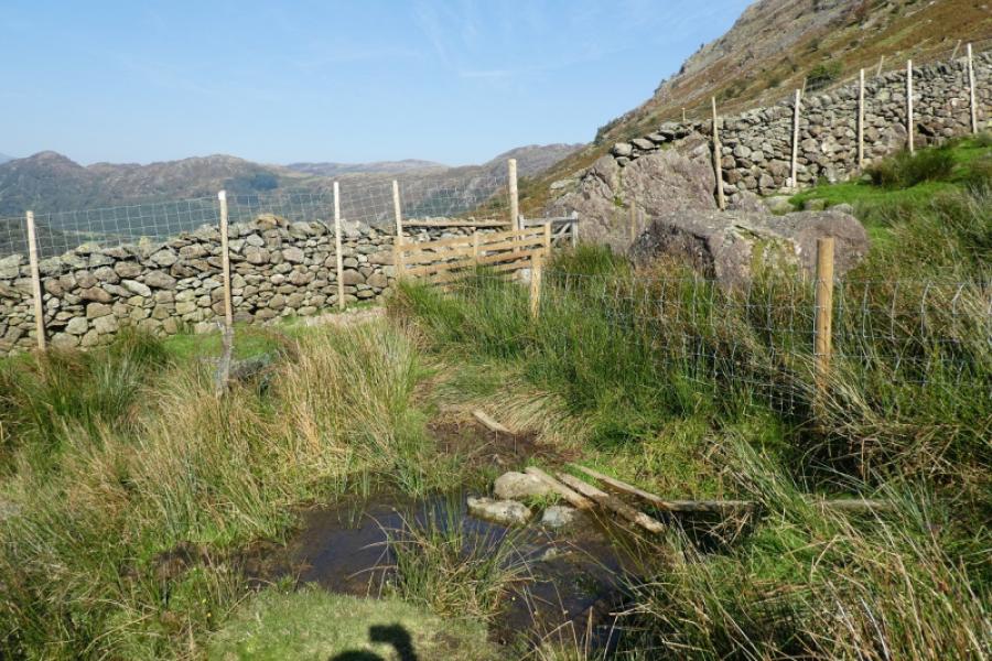
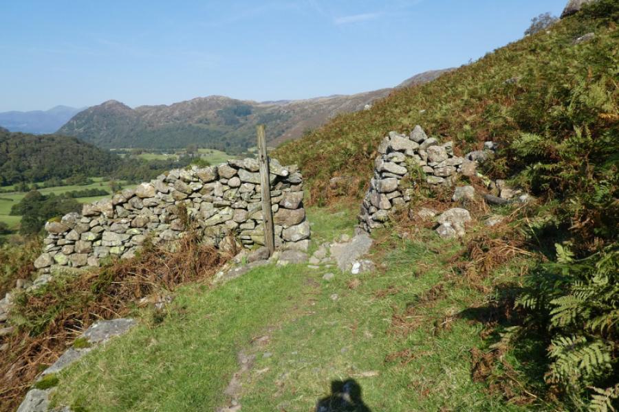
(1) From the Stonethwaite road, take the short road, before the row of white cottages to Borrowdale Church. Walk past the church and across the farmyard to pick up a stony lane which goes past a campsite. Continue, passing a signpots (of no help whatsoever!). Go through a gate just after a wood to reach a very obvious sign saying “Path”. Follow the path up by the wall just crossed so you have the wood on your left. The path is obvious to a gate in a wall ahead. After that, it is difficult to follow in places and can easily be lost as it heads upwards towards a band of crags. It is never far from the wall on the right until that wall swings off to the right when it is no longer useful as a navigational aid. The path seems to go up a rocky groove full of loose soil before finding easier ground above where the path becomes almost impossible to follow as there is no obvious route. A wire fence may have been noticed off to your left. At its highest point there is a gate but do not go through it as Bessyboot is well off to the right. Just keep heading up and trending right and you may reach a top with a cairn on it which is marked on the map. From here, in clear weather, the three tops of Rosthwaite Fell, Rosthwaite Cam and Bessyboot, furthest to the right,should clearly be visible. Head towards Bessyboot and you may, at last pick up traces of a path. Ascend up to a small cairn on a small outcrop which marks the summit of Bessyboot, 540 m. In clear weather the Tarn at Leaves should be very obvious between you and Rosthwaite Cam,
(2) There is a descent path on the OL map which leads down to Comb Gill but it is very faint on the ground and not worth looking for. Instead head across the grassy gully which seems to start at the tarn then pick a way down very easy angled grassy slopes, gradually trending right. There is hardly any rock to worry about, just a few scattered stones here and there and the grass is short and easy to walk over. Trend right where possible but keep looking ahead and below so you stay on easy ground. Cross an obvious path as the open ground is easier and continue to a lower path heading out of Comb Gill. Follow this path back to Borrowdale Church.
Notes
(a) This walk took place on 19th September, 2024.
Photos - Hover over photo for caption. Click on to enlarge. Click on again to reduce.