Get Lost Mountaineering
You are here: England » Lake District » Outlying Fells
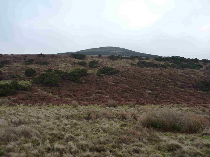
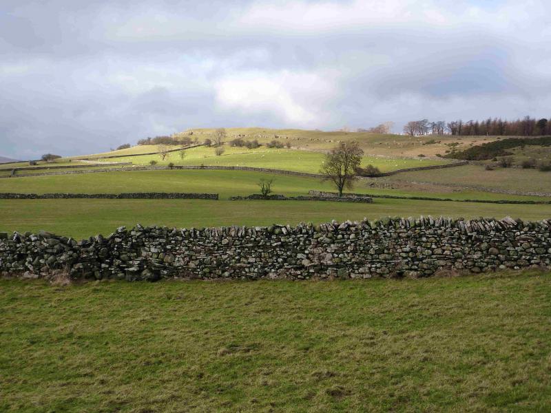
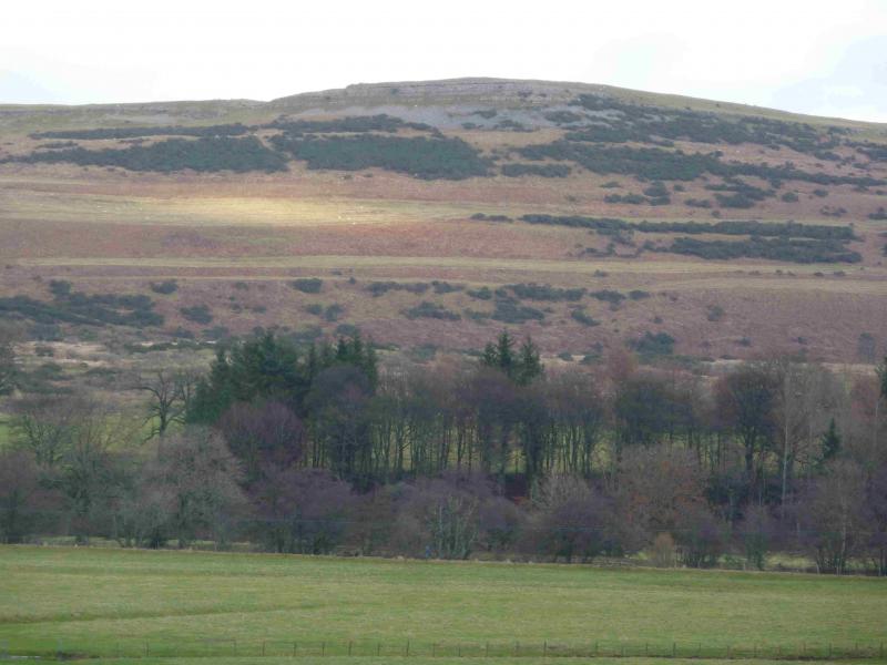
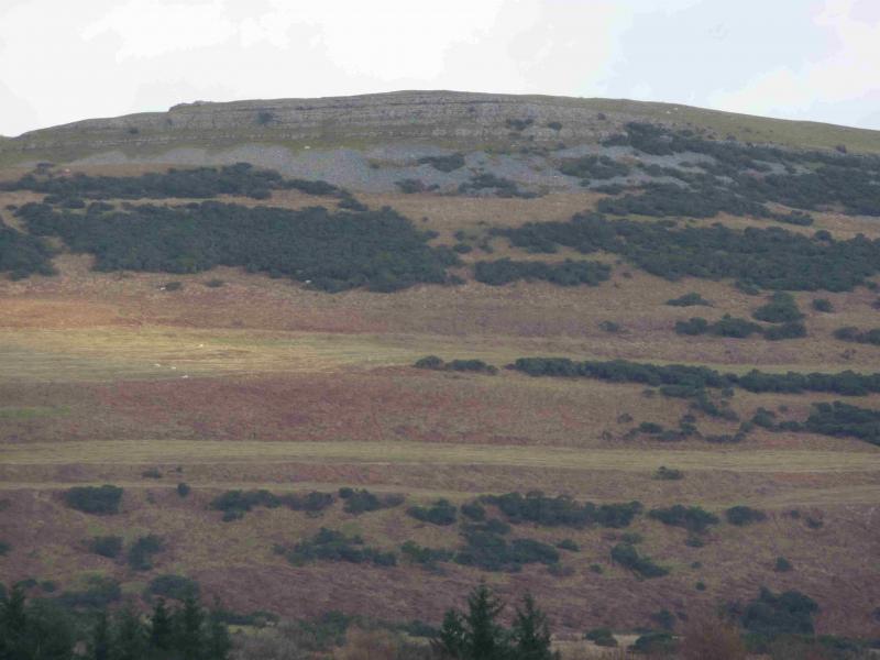
Knipescar Common from near Bampton Grange (FE)
Knipescar Common from near Bampton Grange
Start/Finish
On a grassy verge which can be boggy when wet opposite Risebarrow wood on the road from Bampton Grange to Whale. From Penrith, take the A6 south to Eamont Bridge then turn off for Yanwath (Pooley Bridge road) then turn off south for Askham and follow signs for Haweswater through Butterwick. About a mile S of Butterwick at Bampton the road splits with the right fork going to Haweswater. Take the left fork going to Bampton Grange crossing the River Lowther just before the village. Go through the village then soon after take the left turn for Knipe and Whale. Risebarrow wood is about 600 m up this road. Park just past the wood. In wet weather, be careful to select a firm part of the verge. Note that the name “Risebarrow Wood” is not on the map but it seems a sensible name given it is so close to Risebarrow which is a farm. Bampton Grange can also be reached from Shap with about a 3 mile drive.
Distance/Time
5 km About 1 – 2 hours.
Peaks
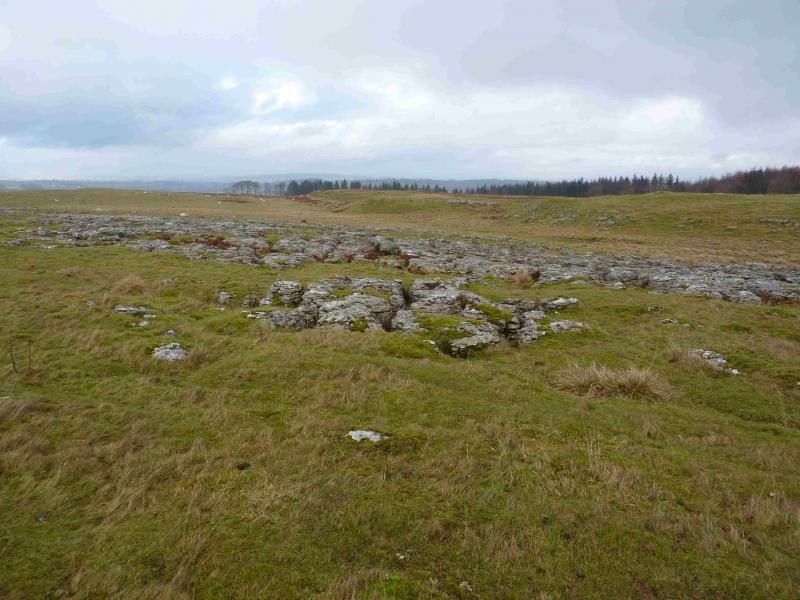
Knipescar Common, 342 m, NY 527 191.
OS 1: 50 000, sheet 90. OS 1: 25 000 Outdoor Leisure 5, English Lake District NE Area.
Introduction
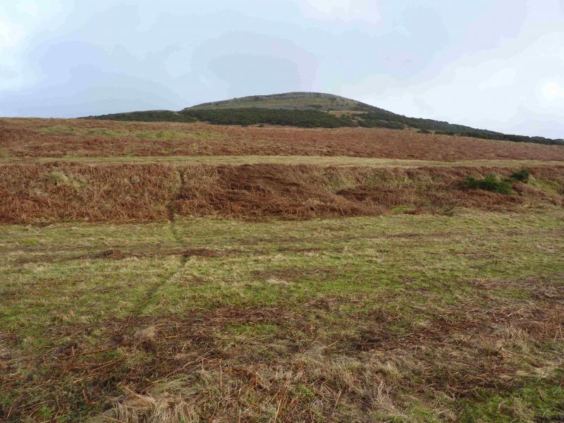
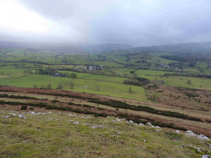
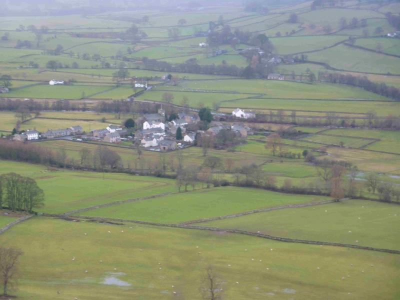
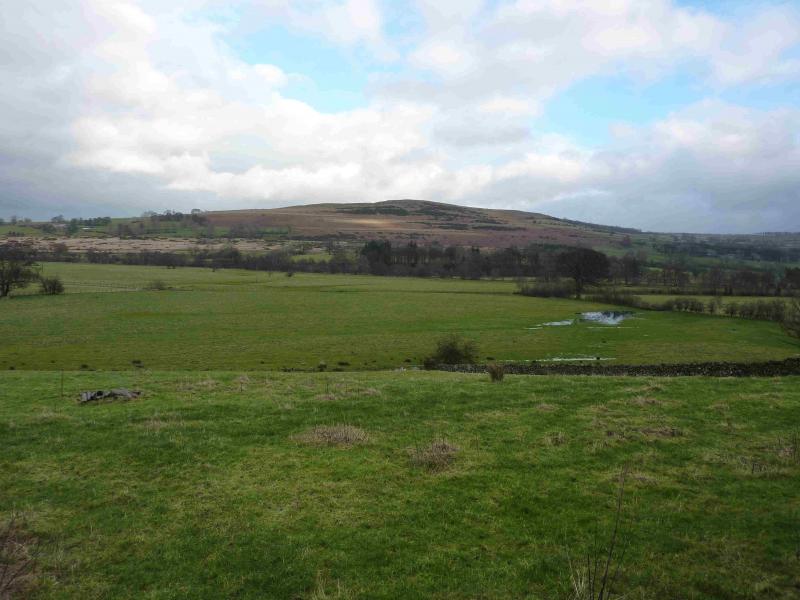
This is a short walk which offers good views of the surrounding countryside on clear days including some of the Haweswater Hills and the northern Pennines. The terrain is very mixed and one of the possible descent routes can be horrendously boggy with sticky clay similar to the worst of the White Peak in Derbyshire.
Route
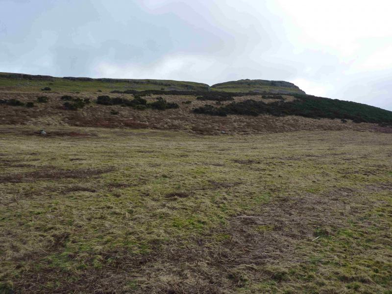
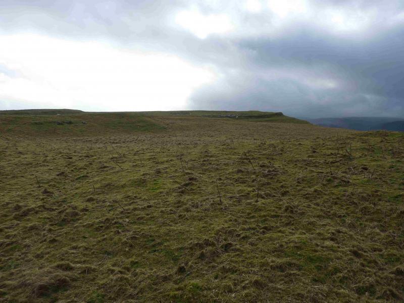
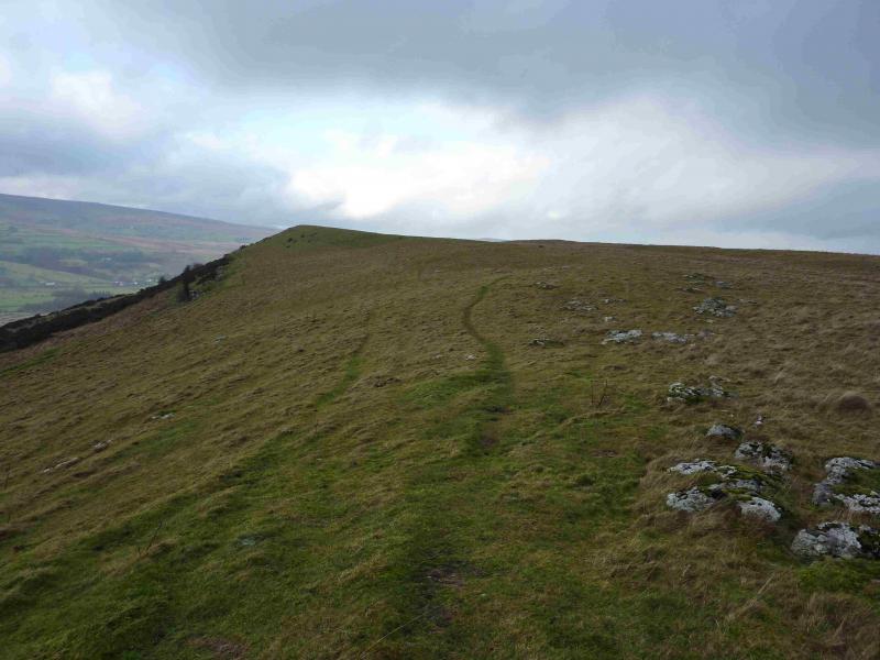
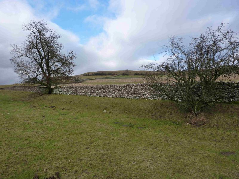
(1) From the footpath sign by the wood, initially take the grassy track then, almost immediately, fork left, on a fainter track which diagonally goes across rough grass, about NNE, to join a track further on which runs at the foot of the crest. A broad grassy path going up towards the crest should be visible from the start and this should be aimed for although there are plenty of other little paths which would allow one to pick their own route up. The broad grassy path heads for the N end of the crest and one can leave it when it passes close to some low limestone “cliffs” not far short of a wall and wood. Ascend the gentlest of slopes along the edge. The crest is almost level so the highest point is not that obvious but it appears to be almost on the “corner” of the crest. There is no cairn to mark the summit of Knipescar Common, 342 m.
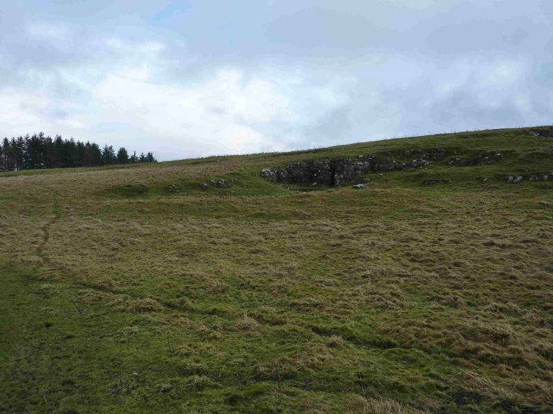
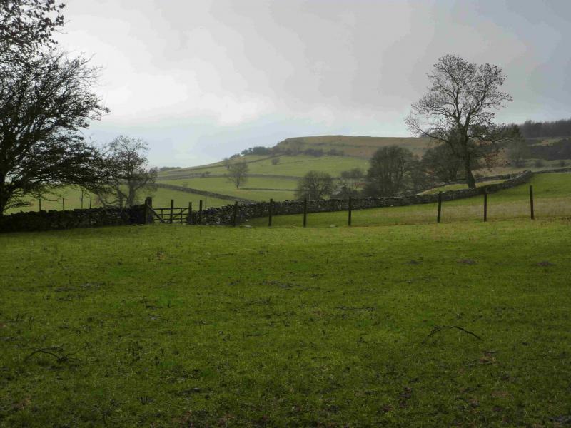
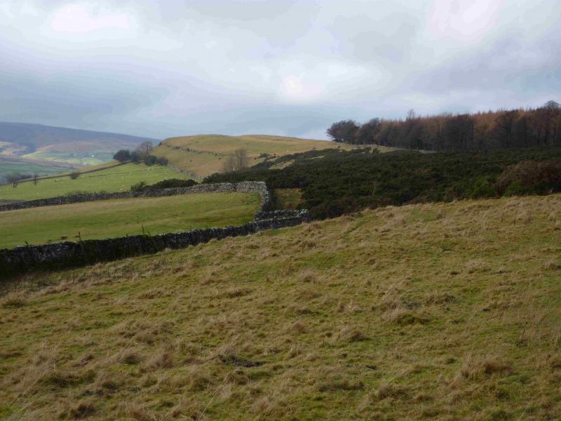
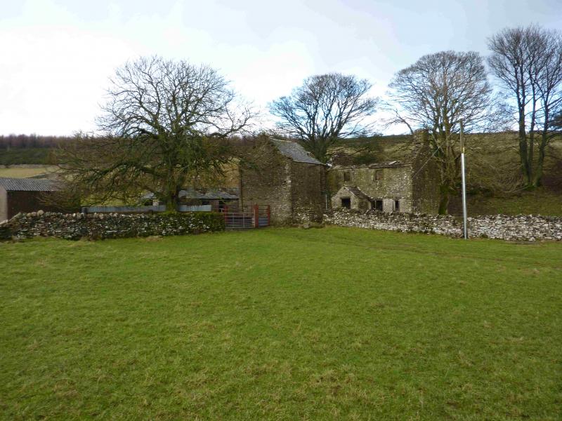
(2) Continue along the crest where there is a path close to the edge. Eventually, the path is along a wall. Continue to a gap in the wood where there is a gate with a path coming through it. It seems reasonable to follow this path down to the ruin at Low Scarside then down further almost to the road before going NW then SW back to the start. Do not descend this way as it is horribly boggy with sticky clay mainly due to cattle and horses. The unpleasantness goes on for some distance, almost all the way back to the start. It might just be OK in an extended heatwave but don't bank on it. Instead, from the gap in the wood, walk almost due S to the gate at the top of the lane above Scarside. Walk down the lane which becomes a road after Scarside and can be followed back to the start. Better still, walk back along the crest and retrace the route of ascent.
Notes
(a) This walk took place on 22nd January, 2014.
Photos - Hover over photo for caption. Click on to enlarge. Click on again to reduce.