Get Lost Mountaineering
You are here: England » Lake District » 4 Southern Fells
Whin Rigg & Illgill Head
Whin Rigg & Illgill Head from Wasdale Head
Start/Finish
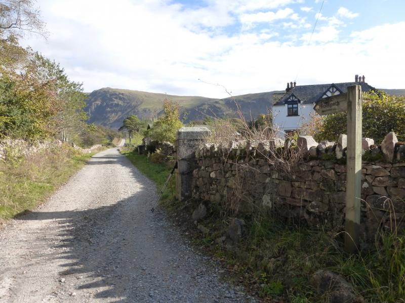
National Trust car park near the head of Wastwater. Drive along the road by the lake towards Wasdale Head. Once past the end of the lake, look for a rough road going right and over a girder bridge. Follow this for a short distance to the National Trust car park. Do not drive past the car park as the access is for private buildings and Mountain Rescue only. Parking is free for National Trust members.
Distance/Time
14 km About 5 - 6 hours
Peaks
Whin Rigg, 535 m, NY 152 034.
Illgill Head, 609 m, NY 169 049. OL6 South Western Lakes
Introduction
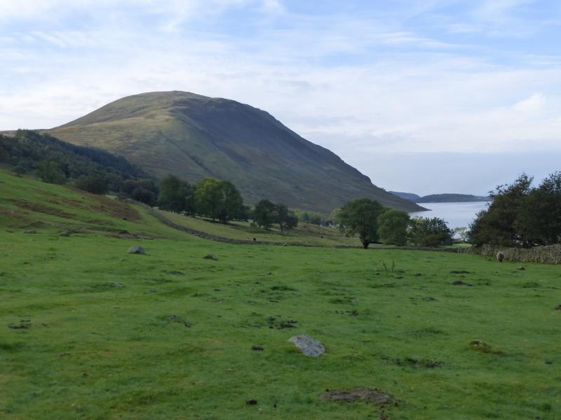
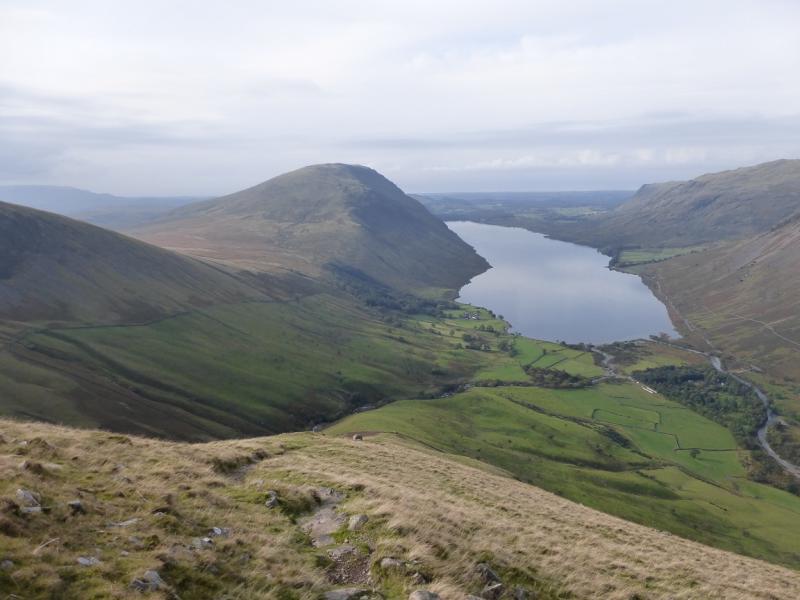
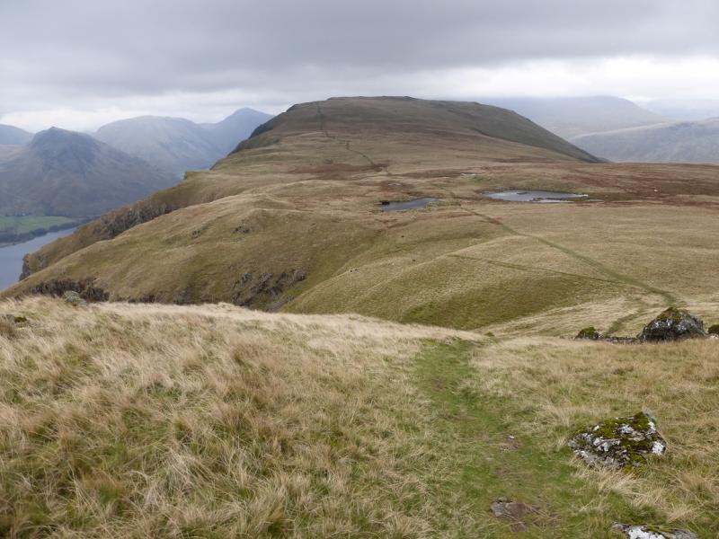
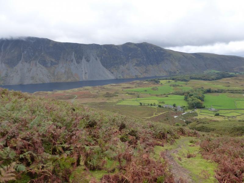
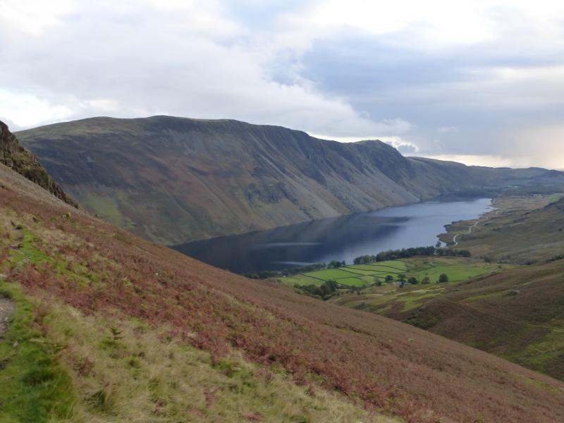
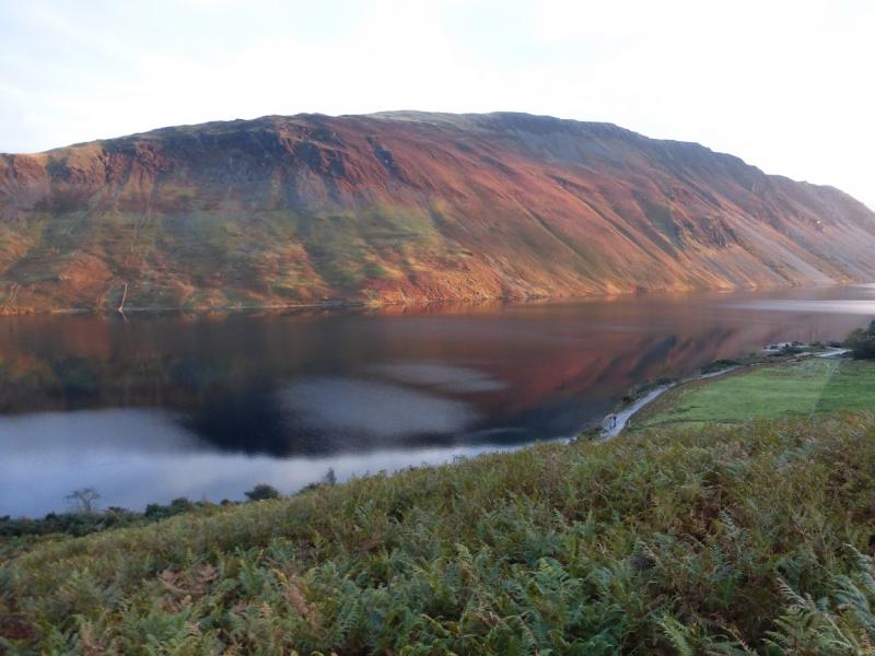
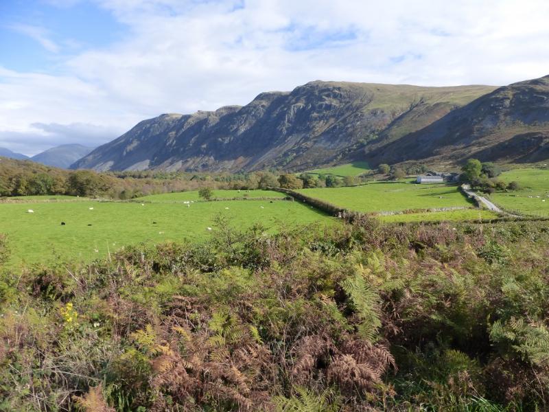
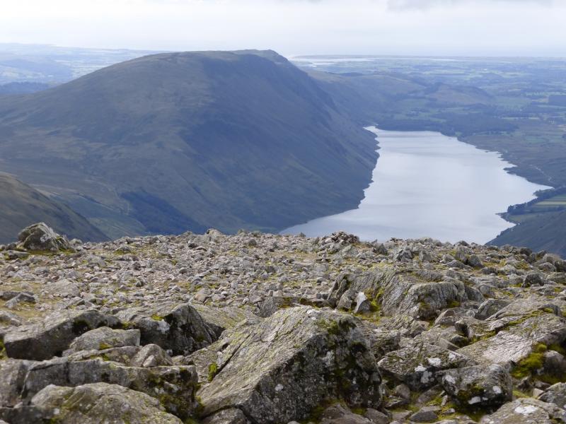
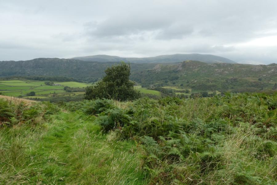
This is a mainly pleasant walk although there is one long and awkward boulder field to traverse on the walk along the side of Wastwater. Apart from this, the going is very straightforward – even in winter. The bet thing about this walk are the views across and up Wastwater including Buckbarrow, Middle Fell, Seatallan, Yewbarrow, Kirk Fell, Great Gable, Lingmell and the Scafells. The return route uses what is known as The Old Corpse Road which was used to bring bodies from Eskdale to be buried at Wasdale Head church.
Route
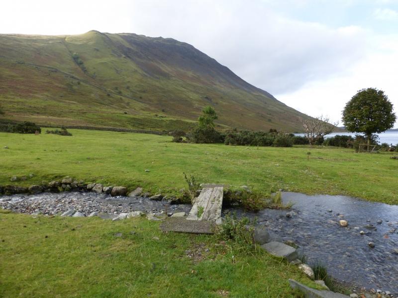
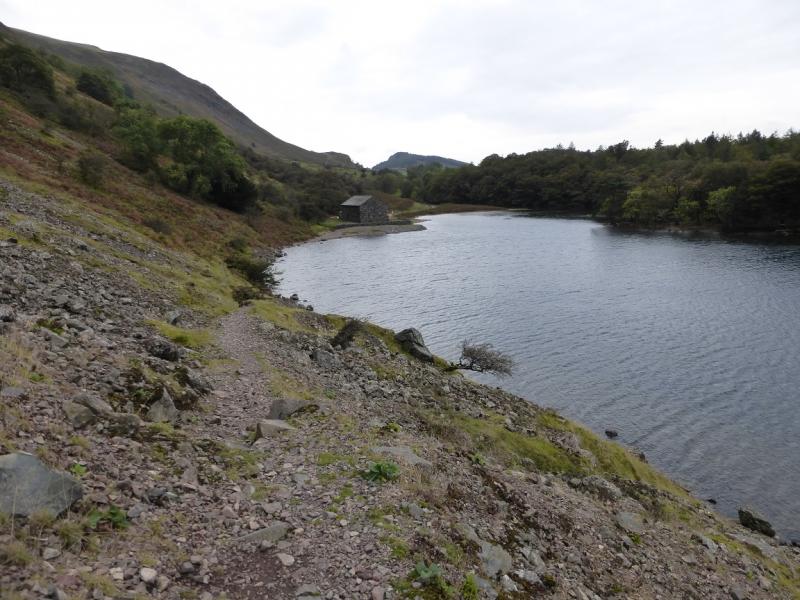
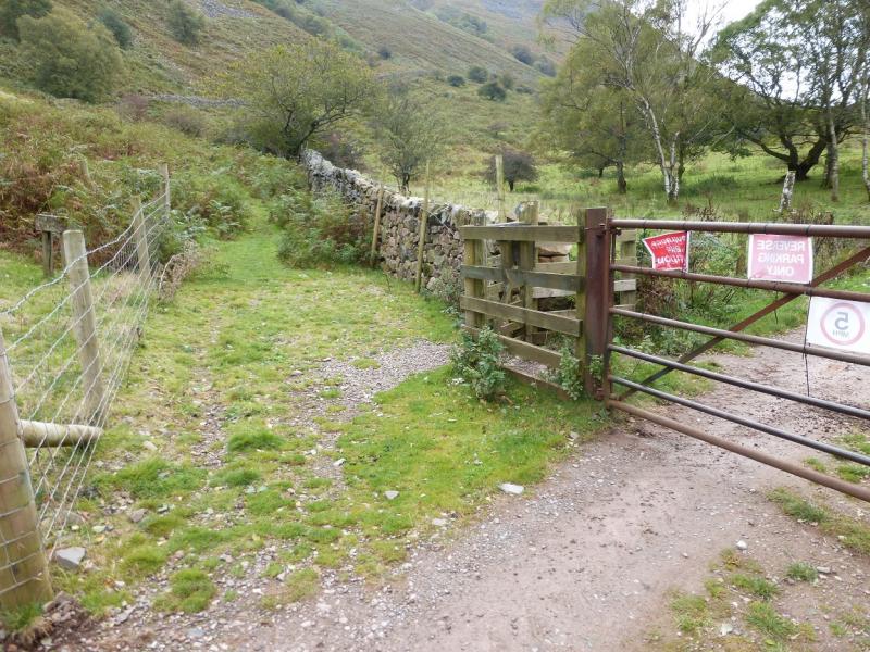
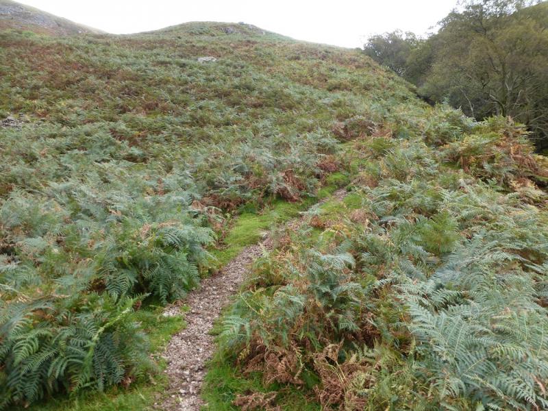
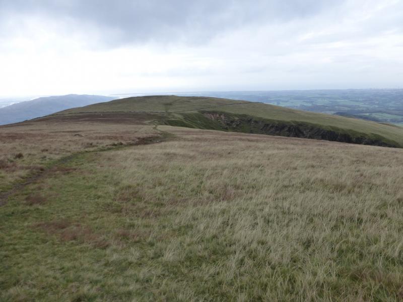
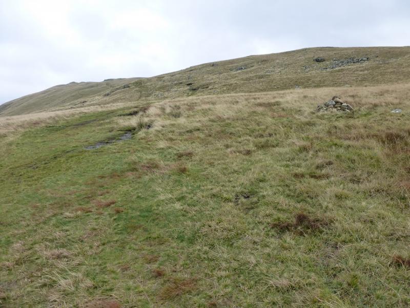
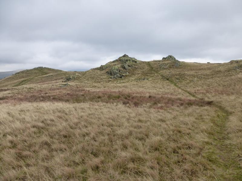
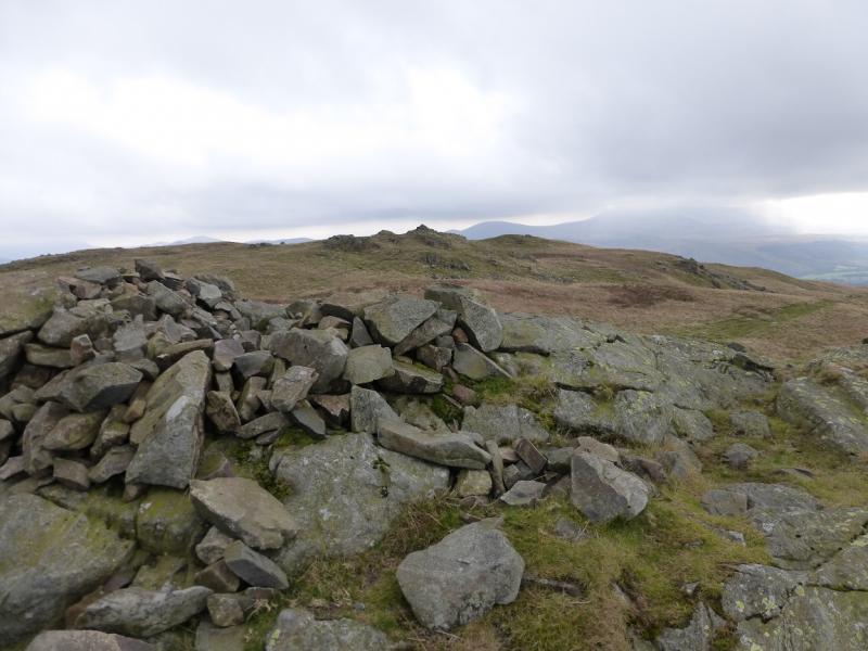
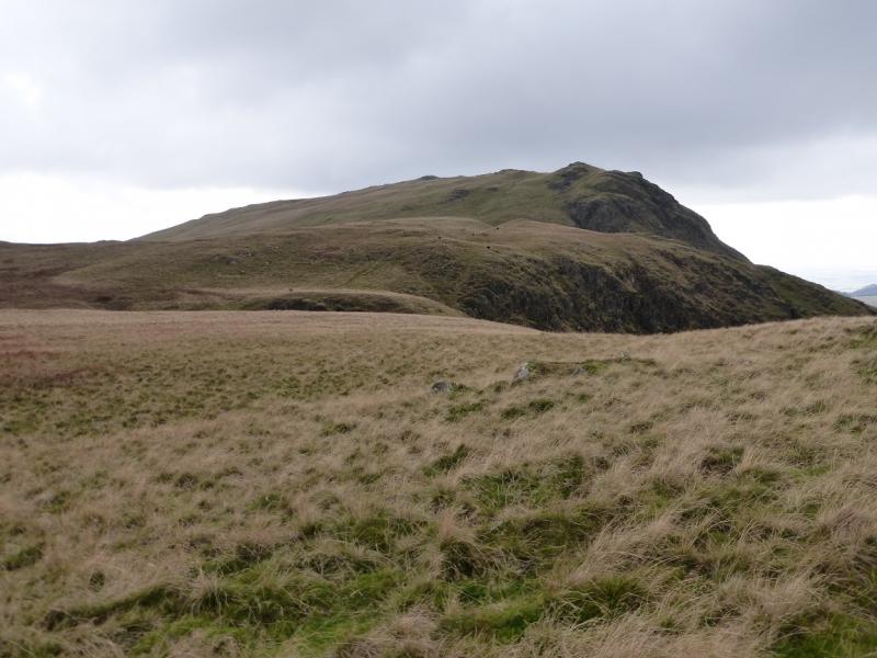
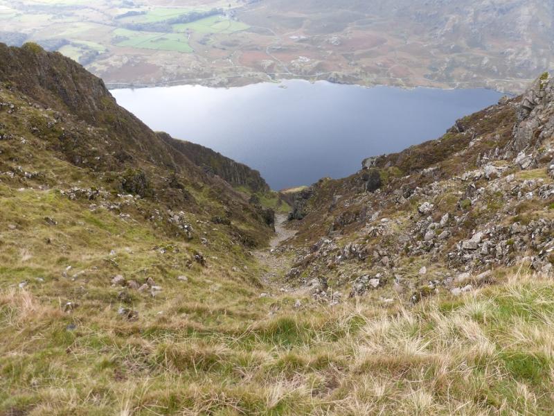
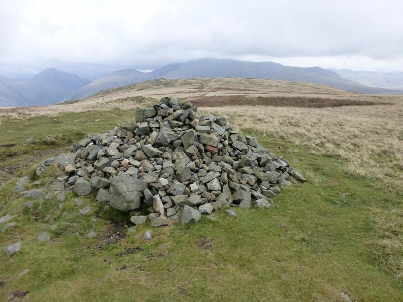
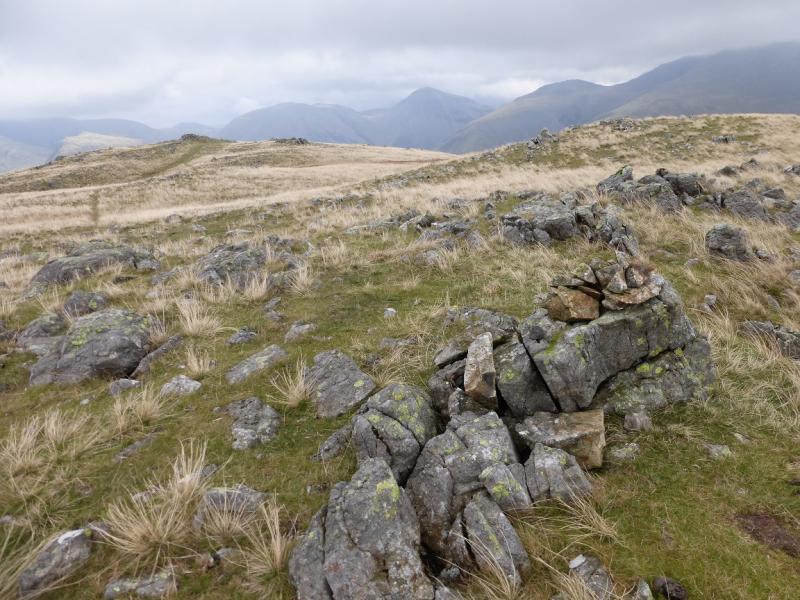
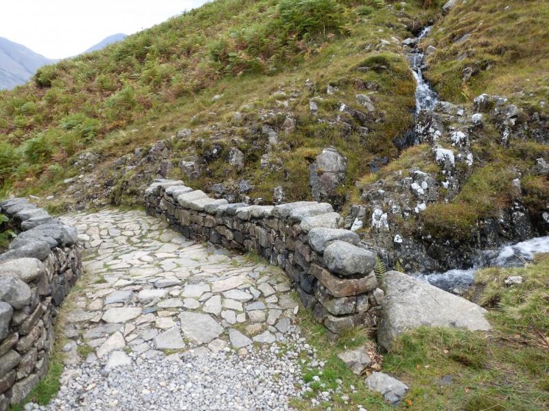
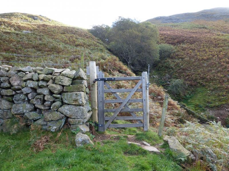
(1) From the car park, continue up the track to reach a bridge. Cross it and follow the track towards Wasdale Head Hall Farm. Just before the farm is reached, the track goes left and the path to The Screes goes ahead through a gate. Follow the path, grassy and pleasant at first but shorter rougher sections follow before a long section of awkward boulder field towards the foot of the lake. Once through this, continue easily to a building then take the track beyond it. At the first gate, take the path going left up the side of the fence which soon becomes a wall. There is an old sign nearby saying “To the Fell”. Follow the path, crossing a minor stream, until just before a major stream, an obvious path goes uphill on the E bank. The good path, leads up on to the crest, after a bit of a pull, just to the NE of an obvious large gully. Follow the path NE along the crest, for about a kilometre. There are two tops with the SE one having the larger cairn and this seems to be the summit of Whin Rigg, 535 m. Walk to the NW cairn which, on the ground, seems slightly lower; this is more of a shelter cairn.
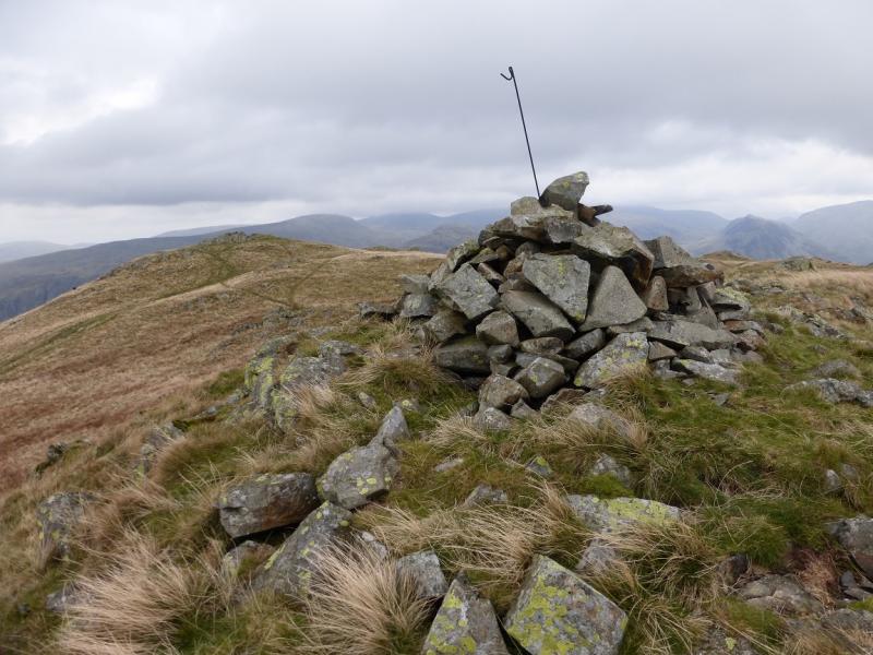
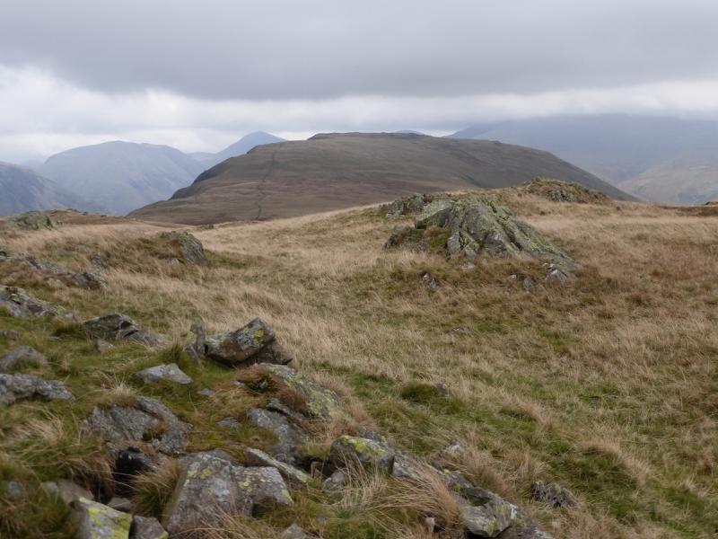
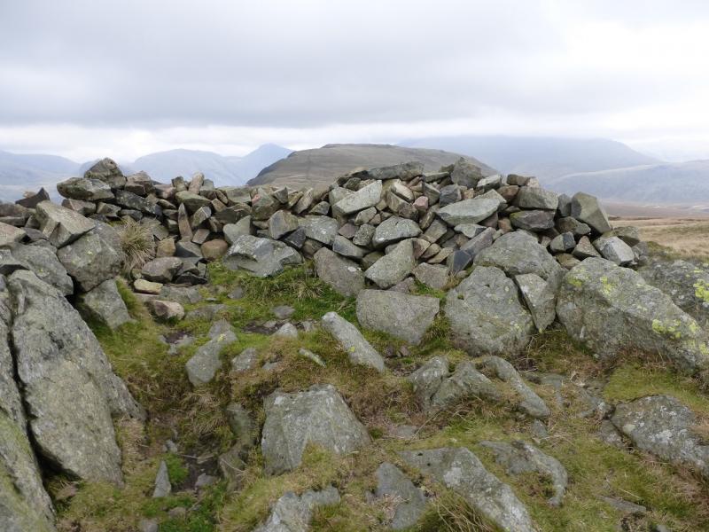
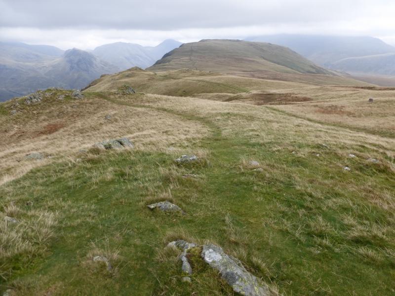
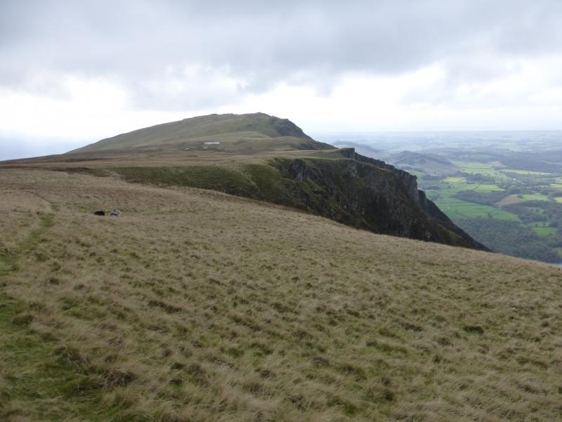
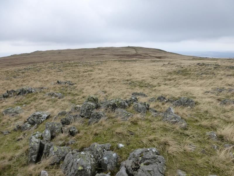
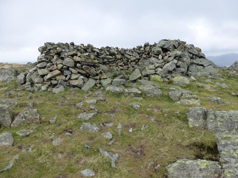
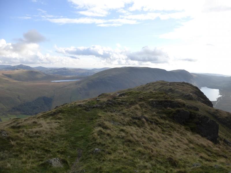
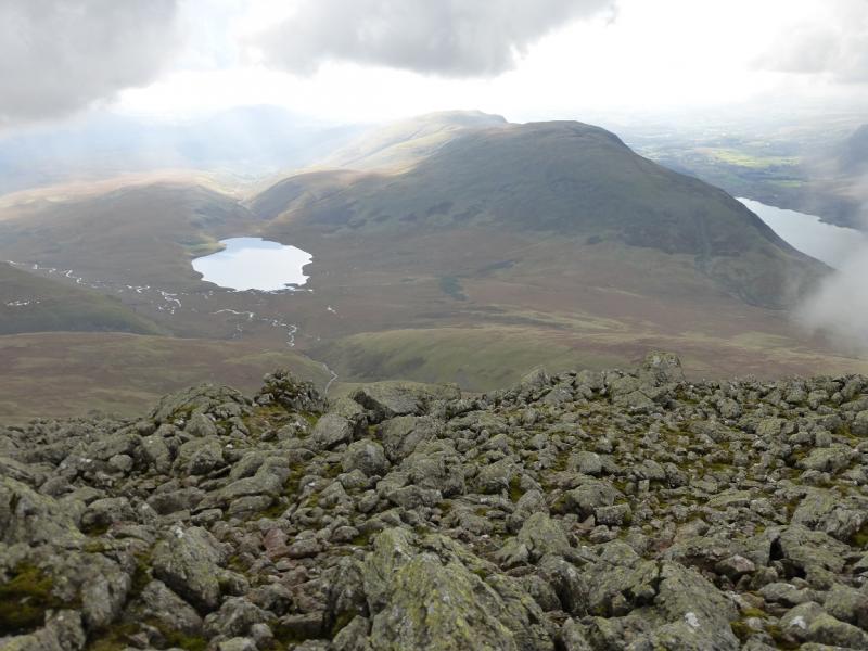
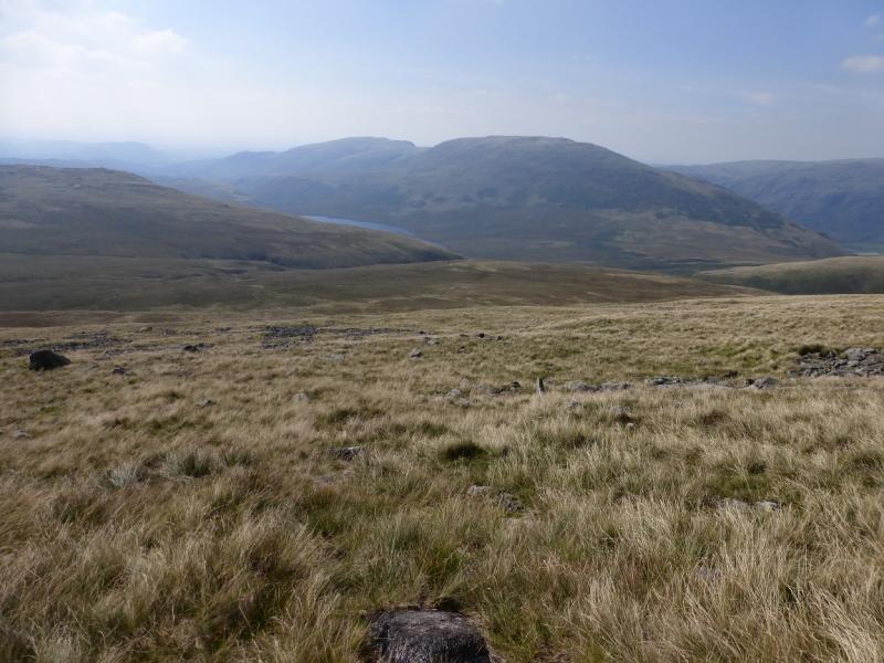
(2) Descend NNE on a good path towards two small pools. The main path goes between them but there is an edge path which offers fine views, especially down some of the rocky gullies. Follow this edge path for about 2 km until it rejoins the main path just before the summit which is a large cairn and this seems to be the highest point on Illgill Head, 609 m. However, there is another cairn to the NE which is a small pile of rocks and this should be visited just in case ….
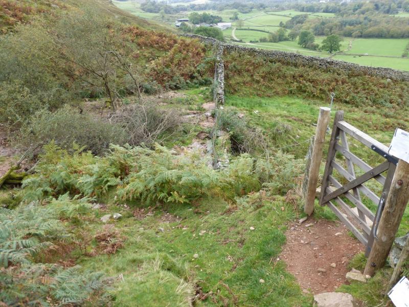
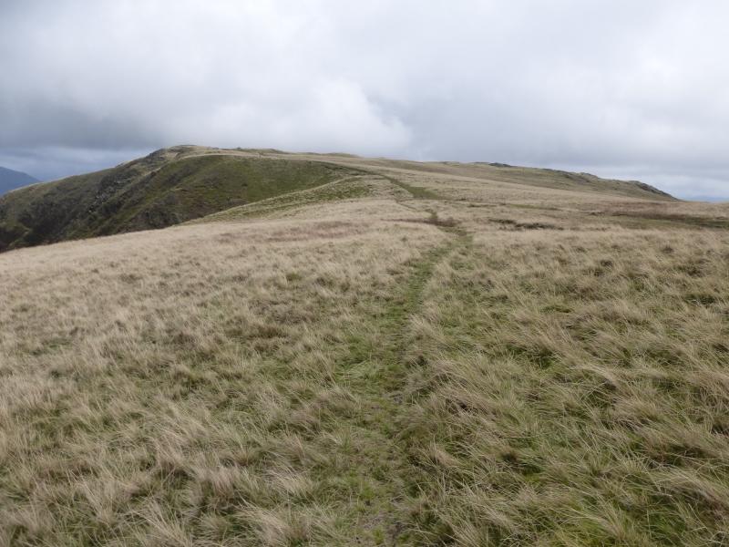
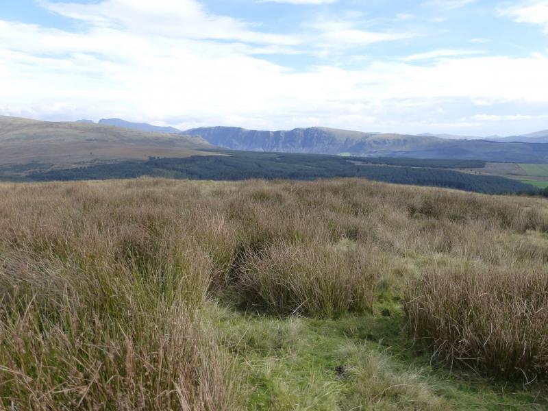
(3) Descend NE, along the crest, and follow an obvious path which goes down the ridge. Lower down, this crosses a wall thne goes through a gate and crosses a stream before joining a good path/track which is The Old Corpse Road. Follow this, past an old ruin, back to the start.
Notes
(a) This walk took place on 8th October, 2014, and many times previously.
Photos - Hover over photo for caption. Click on to enlarge. Click on again to reduce.