Get Lost Mountaineering
You are here: England » Lake District » 4 Southern Fells
Scafell Pike via Lingmell & Tourist Route
Scafell Pike via Lingmell & Tourist Route from near Wasdale Head
Start/Finish
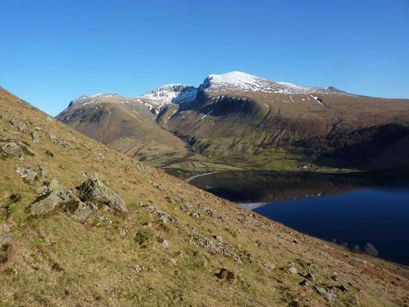
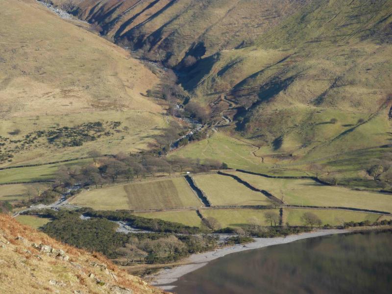
National Trust car park near the head of Wastwater. Drive along the road by the lake towards Wasdale Head. Once past the end of the lake, look for a rough road going right and over a girder bridge. Follow this for a short distance to the National Trust car park. Do not drive past the car park as the access is for private buildings and Mountain Rescue only. Parking is free for National Trust members.
Distance/Time
8 km About 5 hours
Peaks
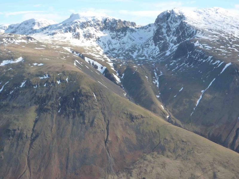
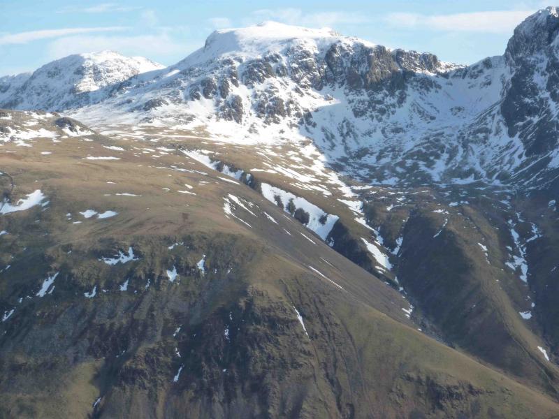
Lingmell, 800 m, NY 209 082.
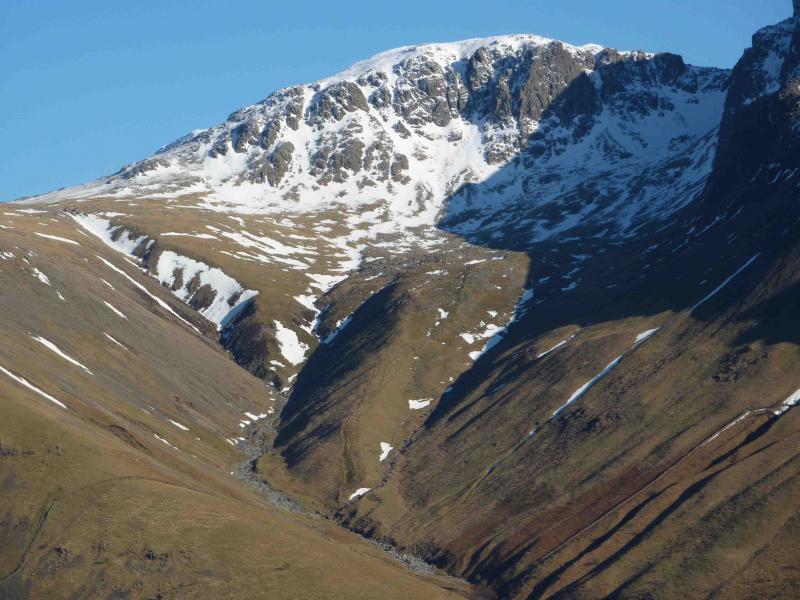
Scafell Pike, 978 m, NY 216 072. OL6 South Western Lakes
Introduction
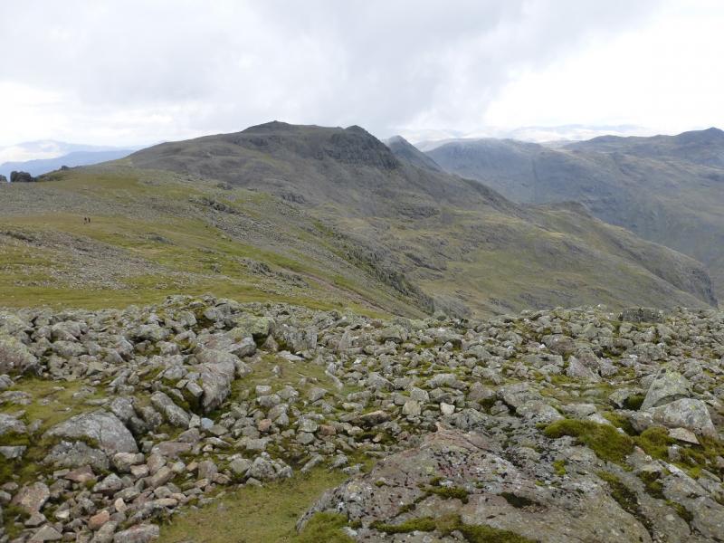
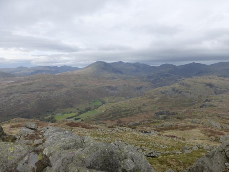
This is a short day which takes in England's highest summit but, by including Lingmell, gives a pleasant circuit and minimises retracing steps. The ascent of Lingmell is steep in places but there is little exposure in summer conditions. In winter conditions, ice axe, crampons and winter experience will be needed. The views are as good as they get so try to save this walk for a clear day. Scafell Pike is the middle peak of the National 3 Peaks Challenge where the aim is to climb and descend Ben Nevis, Scafell Pike and Snowdon within 24 hours including the driving time between peaks. Unfortunately, many ascend Scafell Pike very early in the day and may ascend part of the way before dawn. This has led to some anti-social behaviour towards local residents, including the blocking of access, and, worse still, to contamination of drinking water supplies by using the hill as a toilet and leaving light sticks on the path. Please be sympathetic to local people and to the hill where poor walking practices are quickly eroding parts of the path.
Route
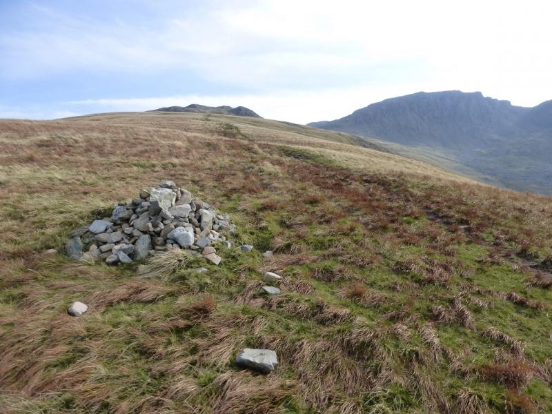
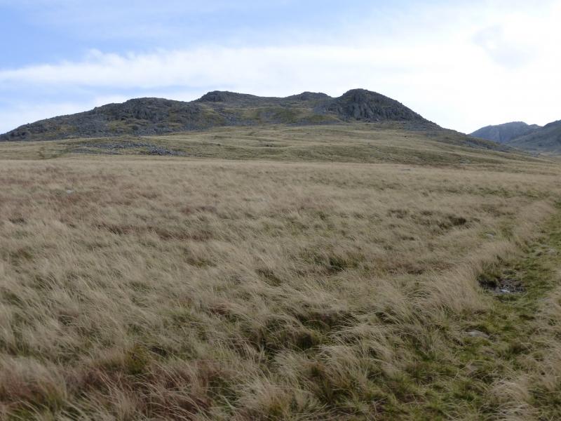
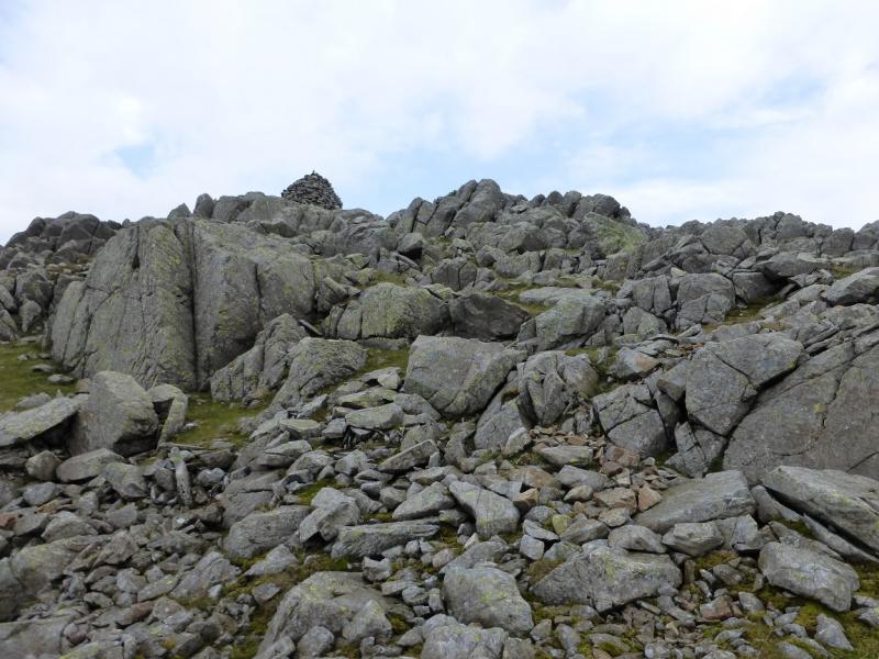
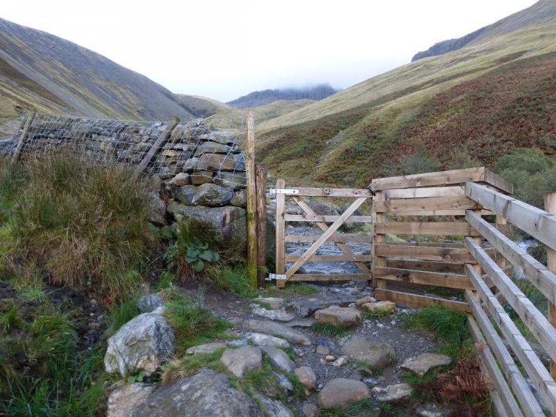
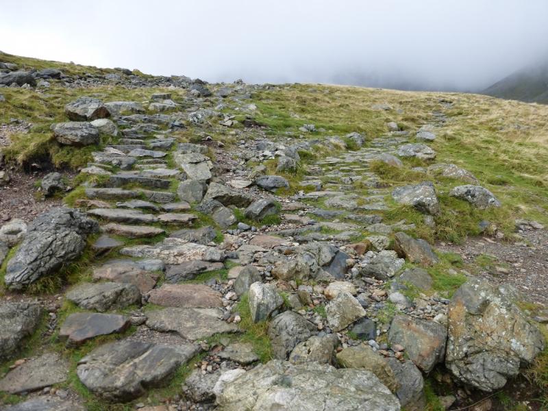
(1) From the car park, continue up the track to reach a bridge. Do not cross it but continue up with the stream on your right. Further on, pass a footbridge over the stream. Just beyond here, go through a gate. The main “tourist” path continues with the stream on the right but do not follow it. Instead, ascend the grassy bank on the left which is the foot of the W/SW ridge of Lingmell. There is a faint path up the grassy ridge which becomes more distinctive with height. Higher up it crosses a path from Wasdale Head then reaches a stile over a stone wall. Continue up and reach an easy rocky section. The gradient eases after this and another grassy section is reached. A final more stony section leads to a large circular, well built, cairn which is the summit of Lingmell, 800 m.
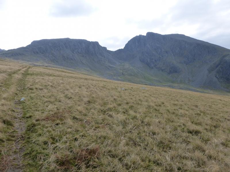
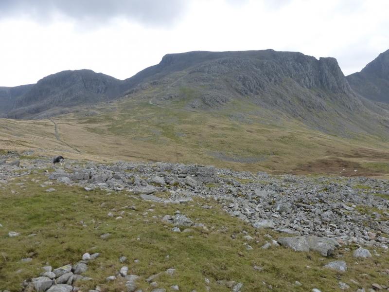
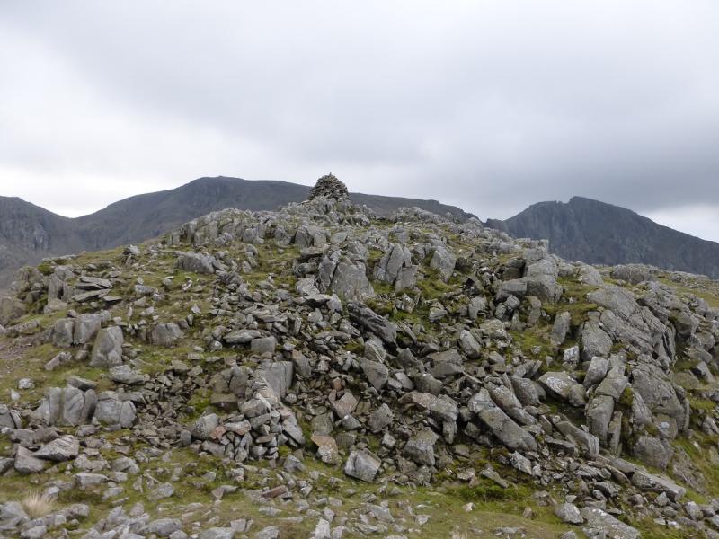
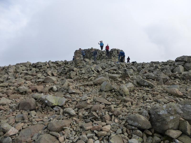
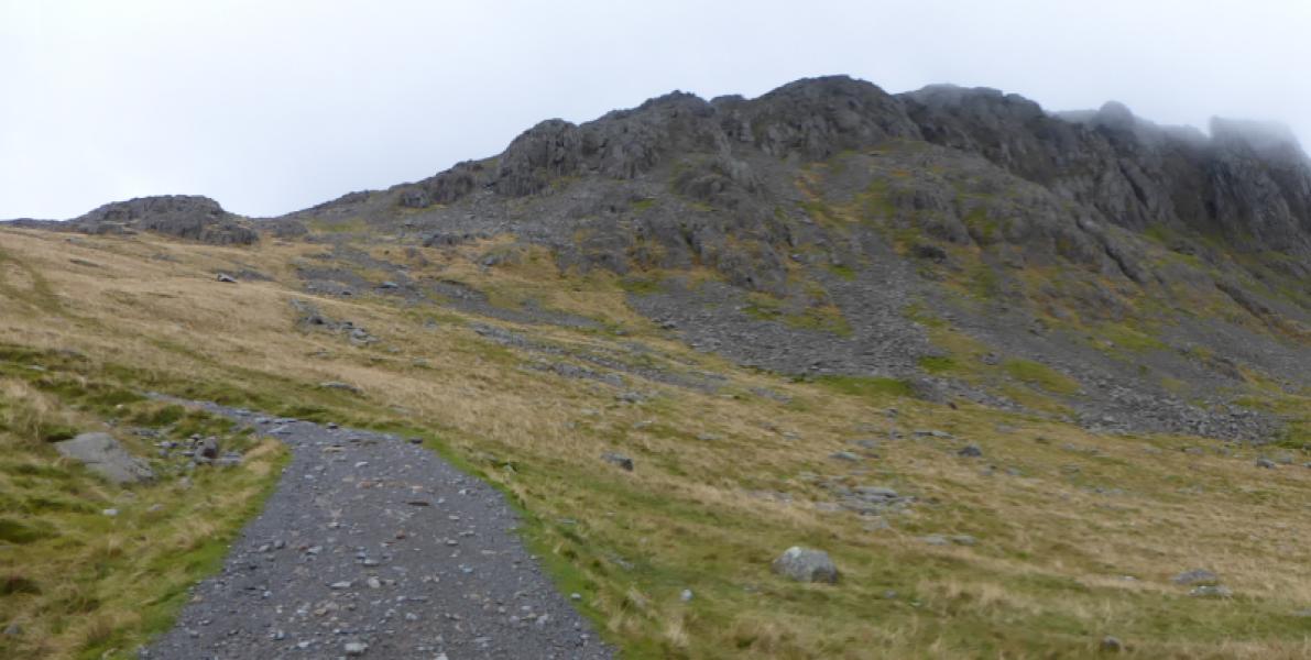
(2) Descend roughly SE on a fairly obvious path then go S to cross a broad grassy col then ascend slightly to join the main “tourist” path which is well cairned. Just after joining this path, note that a path goes off to the NE and crosses the upper part of Piers Gill. This is the Corridor Route coming from Sty Head and Borrowdale. Note this point well for the descent as many people end up at Sty Head or in Borrowdale! Continue up and soon reach a long, gently sloping slab which is the last landmark before the summit. The path is stony and not always that obvious but the cairns point the way. Reach a very large cairn at the start of a level section. From here to the summit, but especially in descent, this last section can be confusing in mist. If you cannot see the next standard sized cairn from the very large cairn then continue on the reasonably distinctive path between the two cairns until you can see both by looking forwards and backwards from the same position. Take a compass bearing for the descent route from the standard sized cairn to the very large on as you will need it in thick mist. Continue upwards, on a path which is mainly trodden down rock and not that obvious but there are still cairns to follow and these lead to the trig point and summit cairn/plinth which is the top of Scafell Pike, 978 m. Note that the path weaves about somewhat for the final few hundred metres so note carefully the way down. This NE path is the Corridor Route and goes to Sty Head. Note this well as many people take a wrong turn here in descent and end up at Sty Head or even Borrowdale rather than Wasdale Head. Continue up the cairned “tourist” path, walking up a slabby rock band at one point. The path changes direction a few times but eventually leads to a large cairn then, further on, the trig point and large cairn, with steps up it, which is the summit of Scafell Pike, 978 m. In thick weather, it may not be possible to see from one cairn to another especially in the final upper section, so be careful.
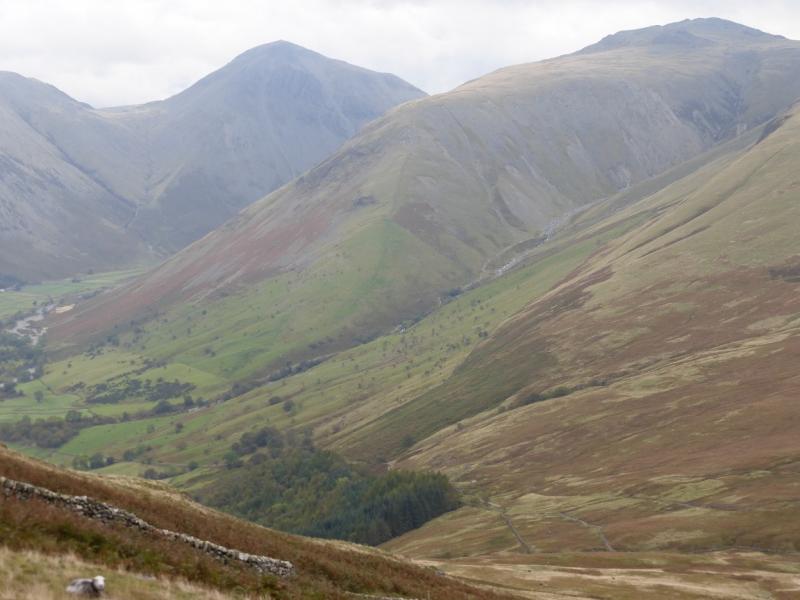
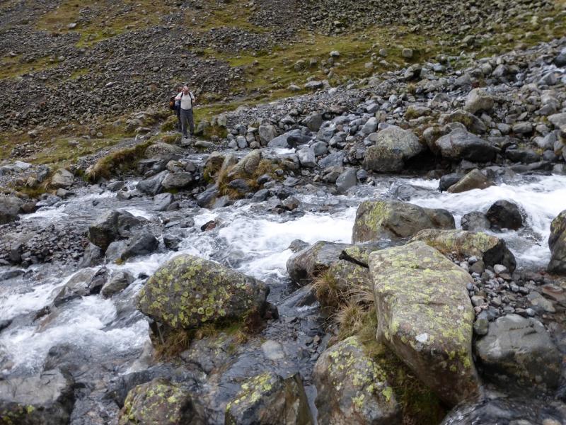
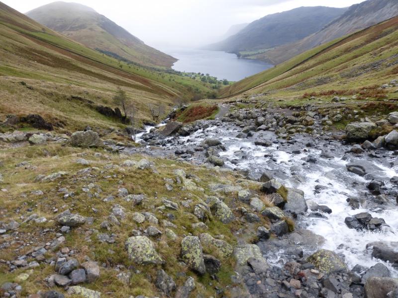
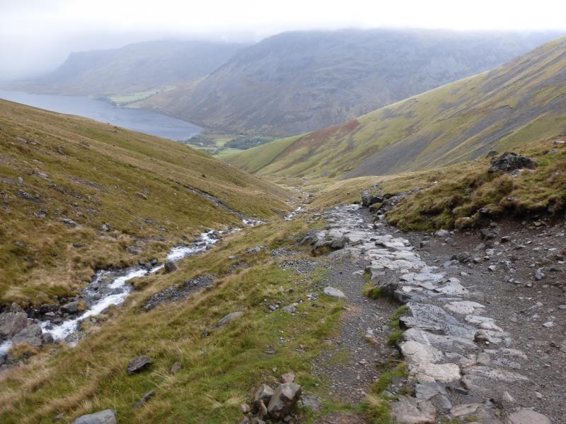
(3) Retrace down the “tourist” path being especially careful in thick weather. The first challenge is to locate the very large cairn then the slabby section. After the junction with the Corridor Route (which goes NE), the path goes SW then W. If you find yourself crossing a stream going N or NE then you are probably on the Corridor Route. The path improves considerably lower down and crosses Lingmell Gill. This may be difficult after rain so a short detour upstream may be necessary as there is no bridge. Once across, continue down on the N side of Lingmell Gill, on a good path, to reach the start.
Notes
(a) This walk took place on 7th October, 2014, and many times previously.
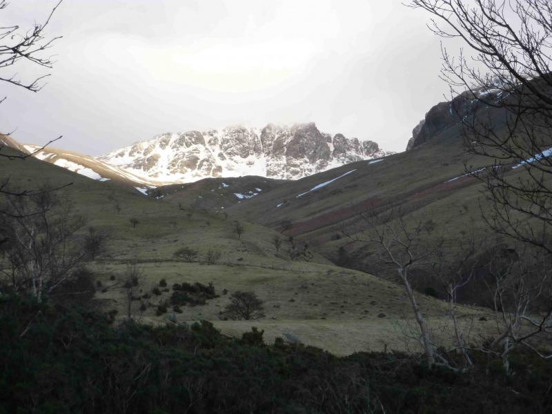
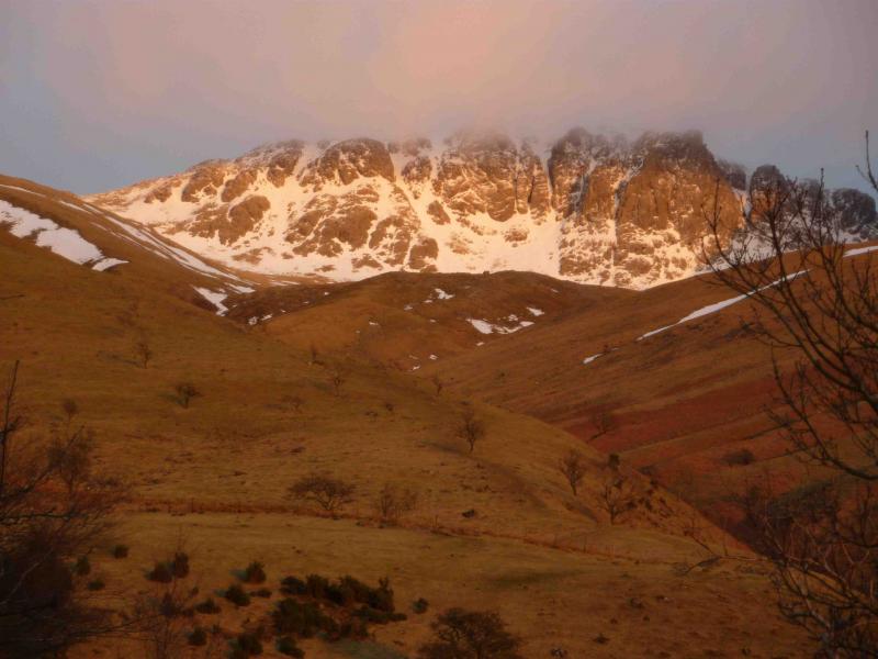
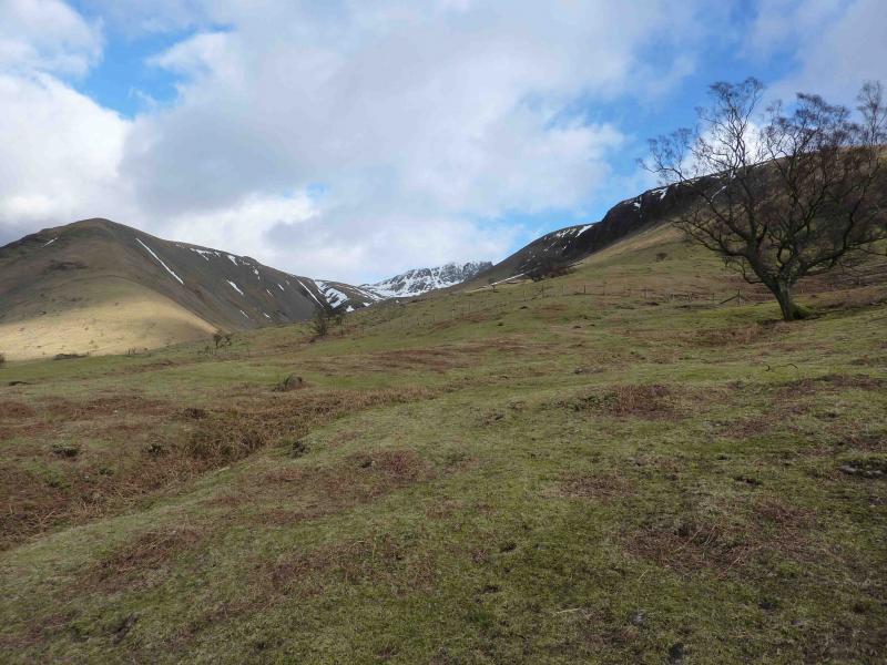
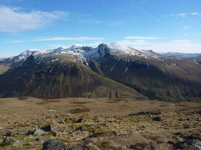
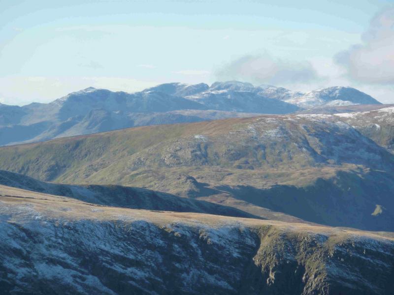
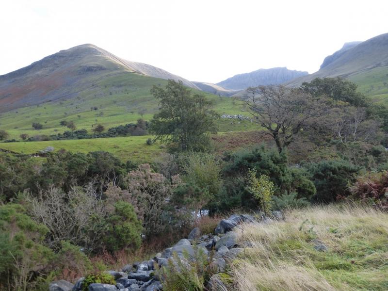
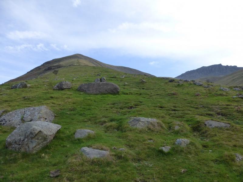
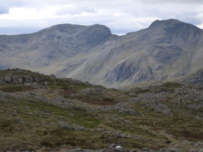
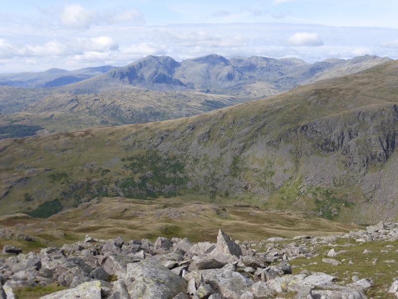
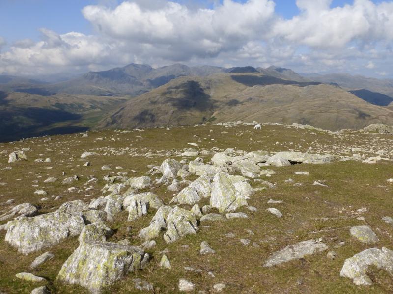
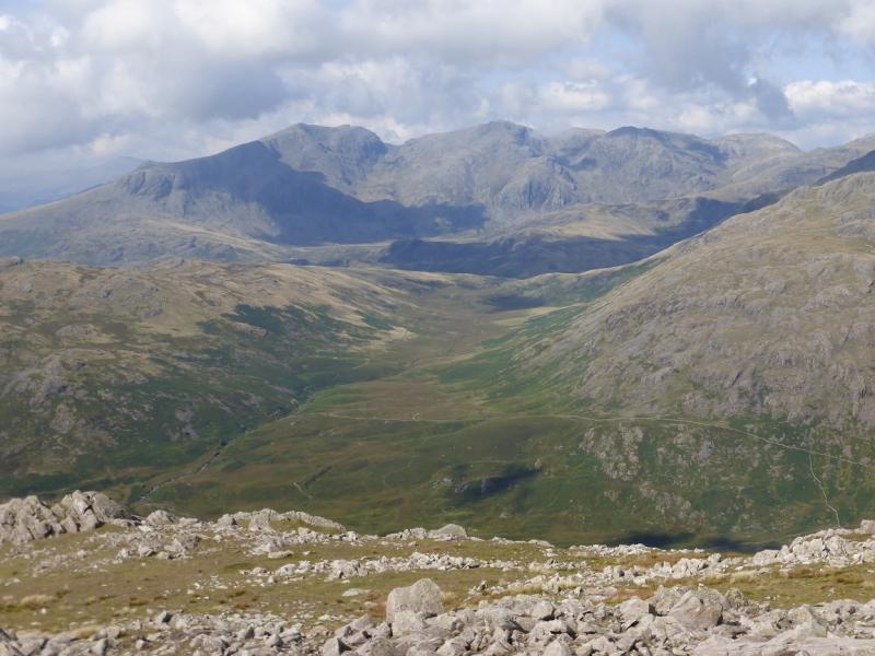
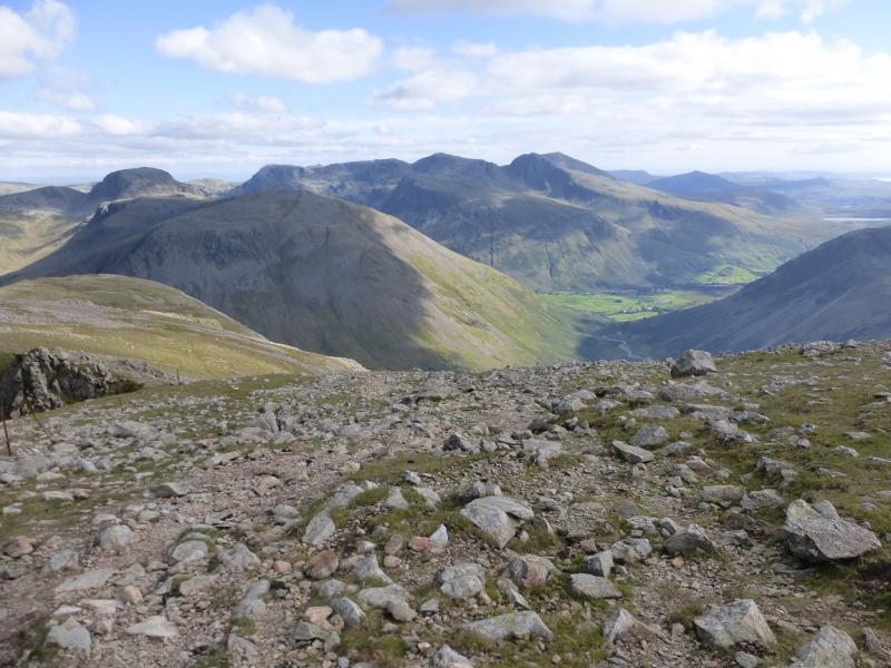
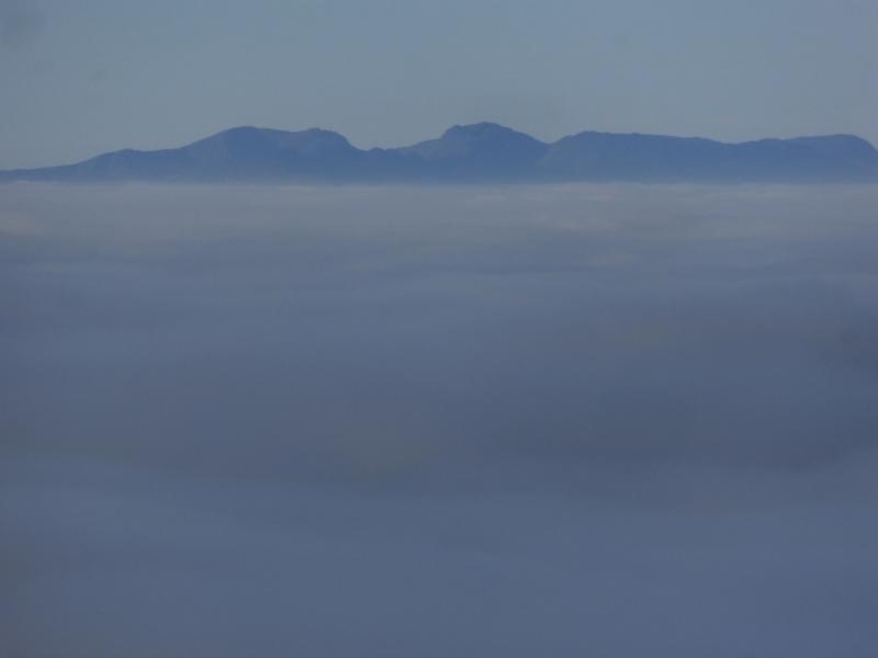
Photos - Hover over photo for caption. Click on to enlarge. Click on again to reduce.