Get Lost Mountaineering
You are here: England » Lake District » 4 Southern Fells
Scafell & Symond's Knott via Lord's Rake from near Wasdale Head
Scafell & Symond's Knott via Lord's Rake from near Wasdale Head
This route is no longer recommended owing to rock falls down Lord's Rake which make it now very dangerous indeed.
Start/Finish
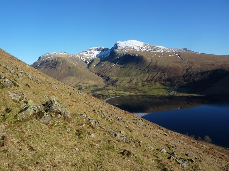
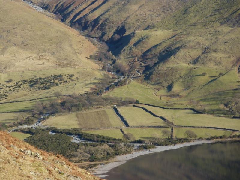
National Trust car park near the head of Wastwater. Drive along the road by the lake towards Wasdale Head. Once past the end of the lake, look for a rough road going right and over a girder bridge. Follow this for a short distance to the National Trust car park. Do not drive past the car park as the access is for private buildings and Mountain Rescue only. Parking is free for National Trust members.
Distance/Time
8 km About 5 - 6 hours
Peaks
Symond's Knott, 959 m, NY 208 067.
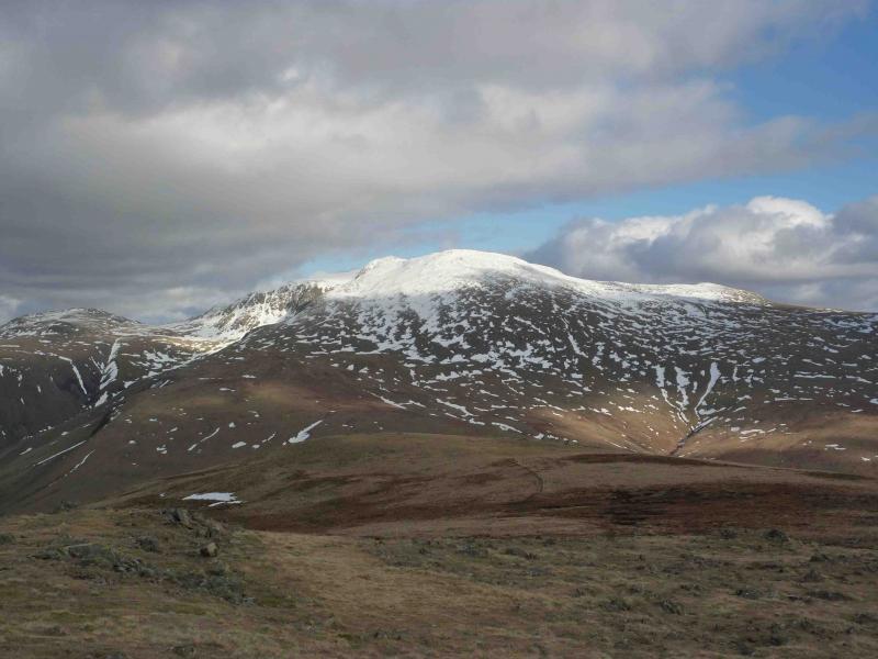
Scafell, 964 m, NY 207 065. OL6 South Western Lakes
Introduction
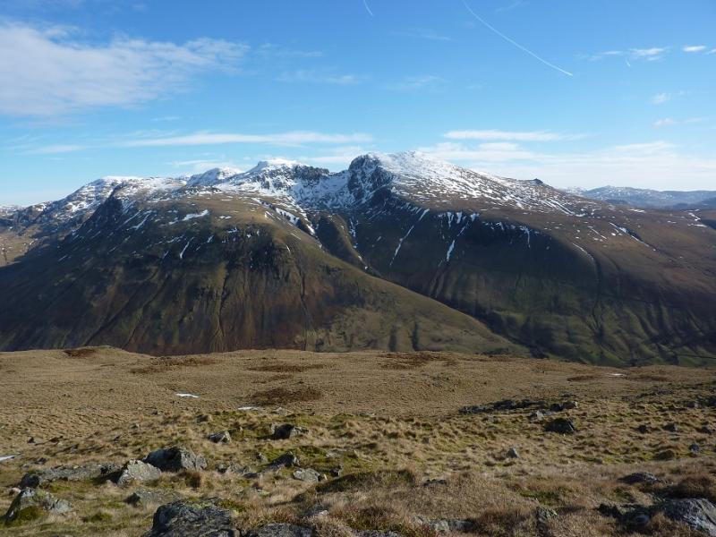
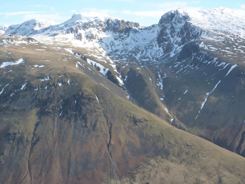
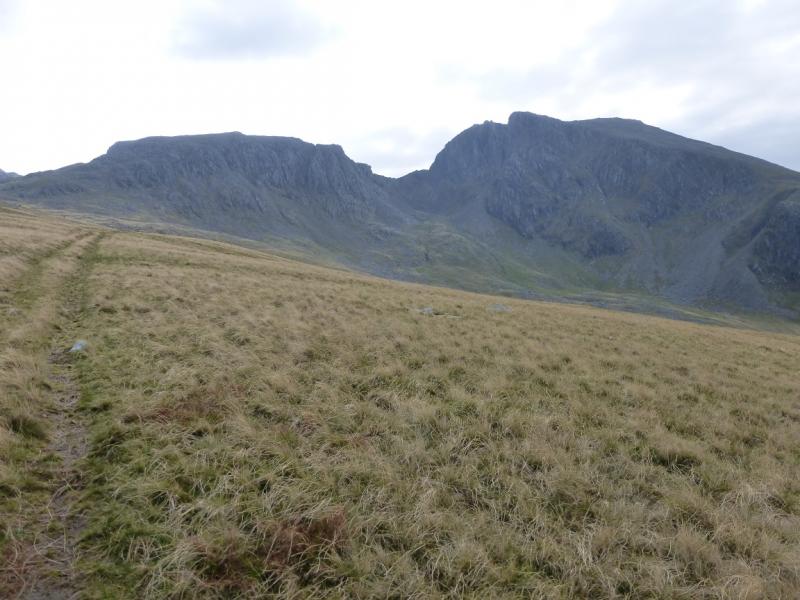
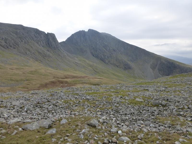
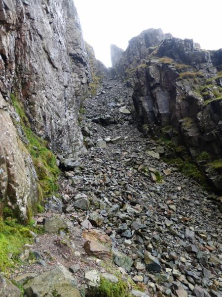
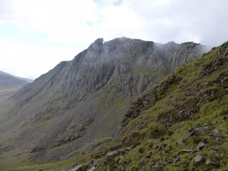
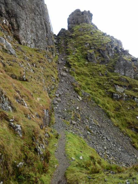
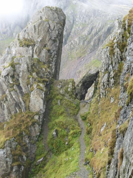
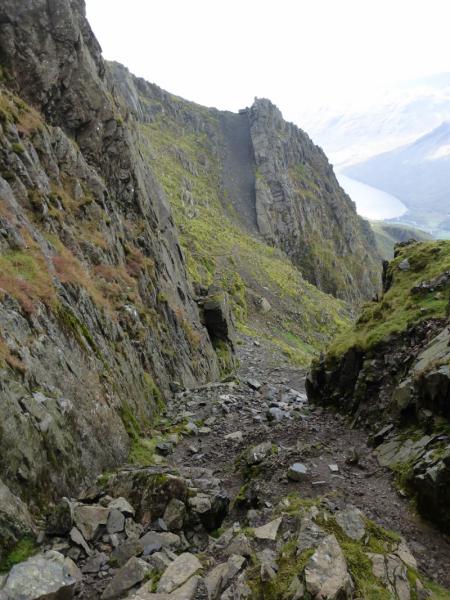
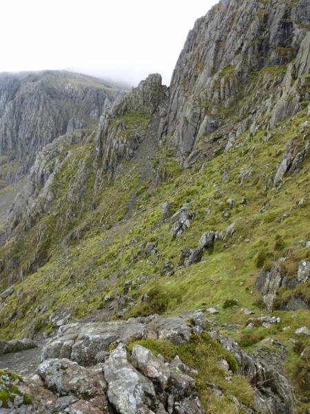
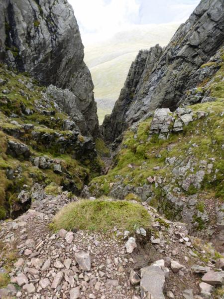
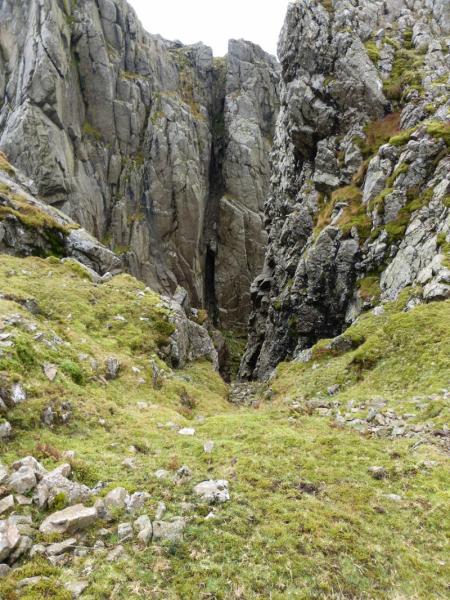
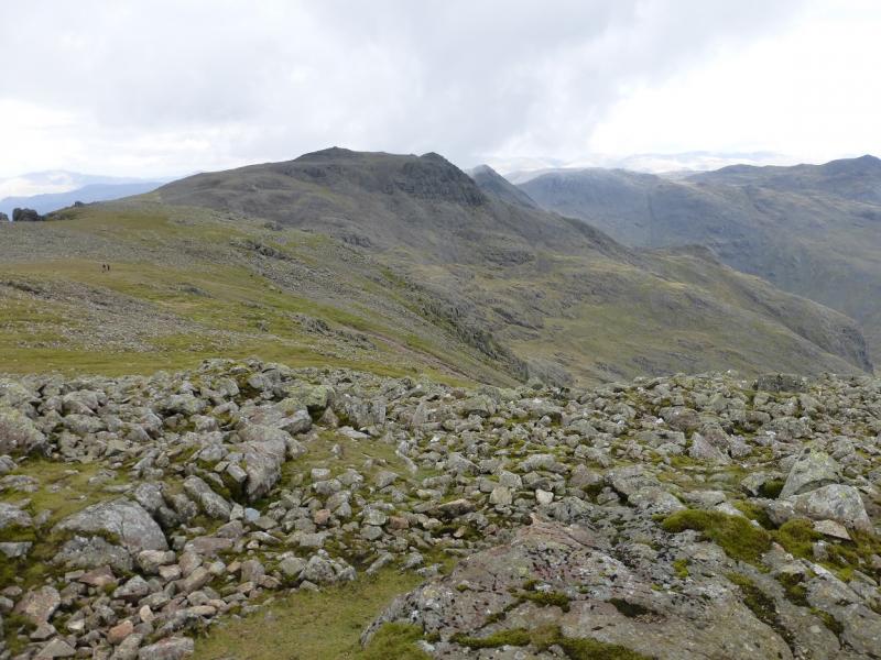
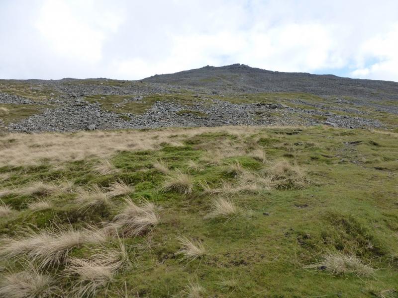
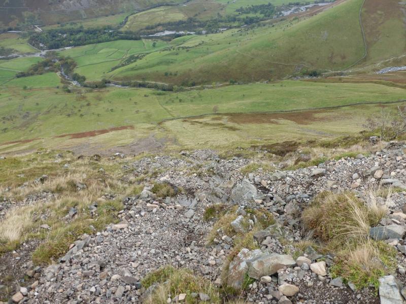
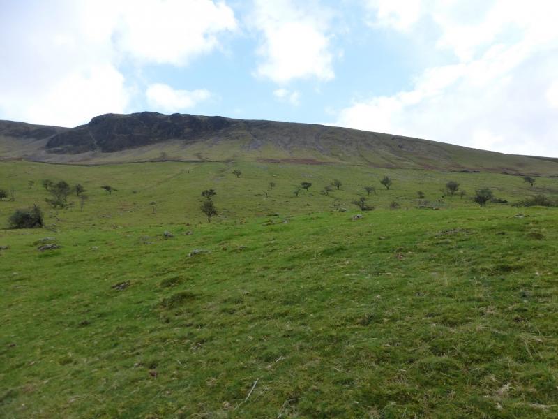
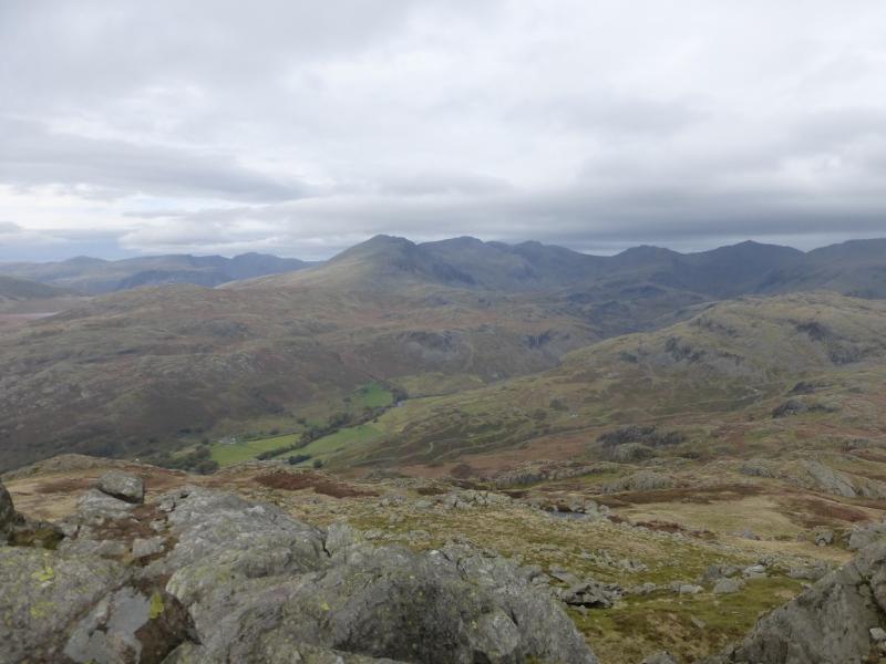
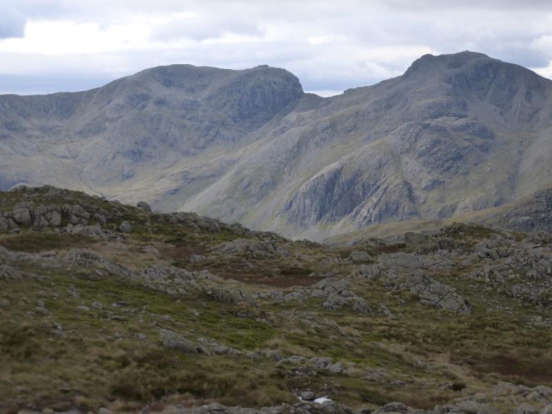
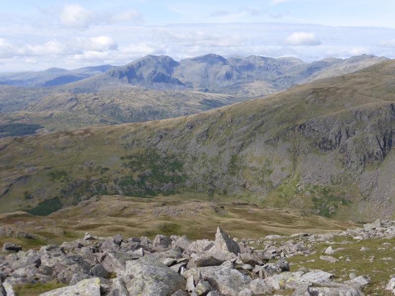
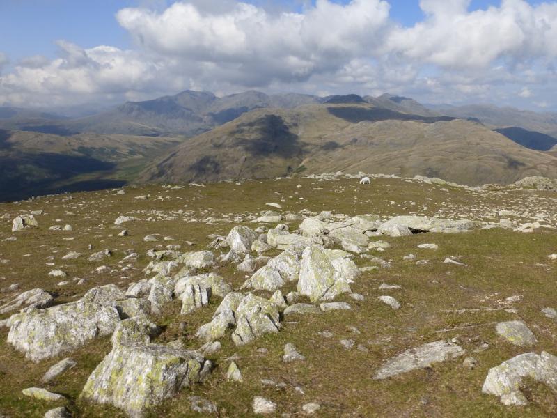
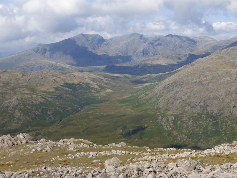
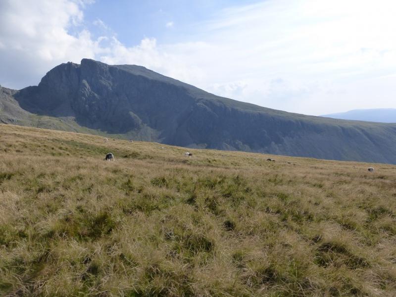
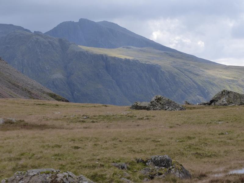
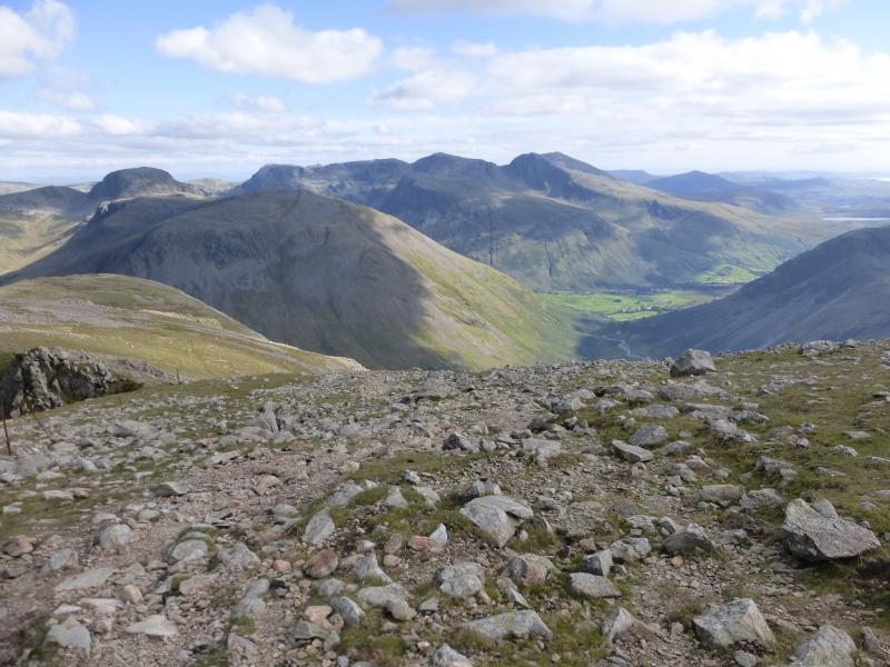
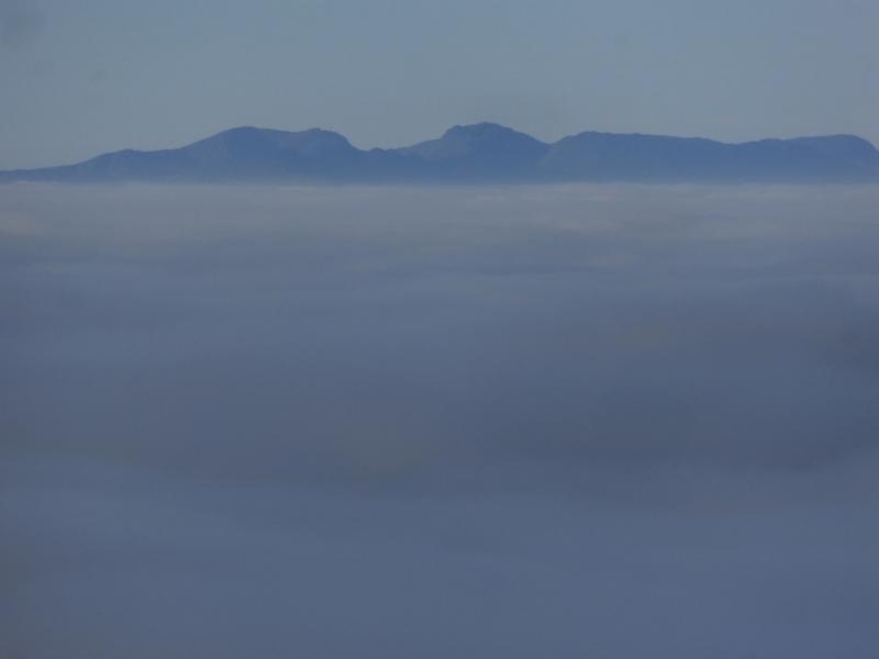
This is a tough day which takes in England's second highest summit by a testing route. After heavy rainfall, the crossing of Lingmell Gill will be awkward and one may have to divert upstream to avoid wet feet; there is no bridge. In winter conditions, ice axe, crampons and winter experience will be needed for the upper part of this walk. The views are as good as they get so try to save this walk for a clear day. Lord's Rake is a scree gully and is awkward to ascend. It has three ups and two downs. At the top of the first up, there has been a rockfall and a large boulder/flake is lodged between the two side walls. In 2014, it had been lodged for about ten years but sooner or later, it will come down Lord's Rake so show appropriate caution in Lord's Rake. The descent down the west ridge of Scafell is rough from the summit then on pleasant grass before a very rough and eroded descent from the ridge towards Wasdale Head. This section is a contender for the worst path in the Lake District.
Route
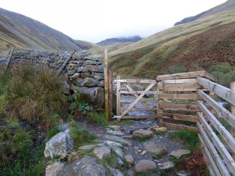
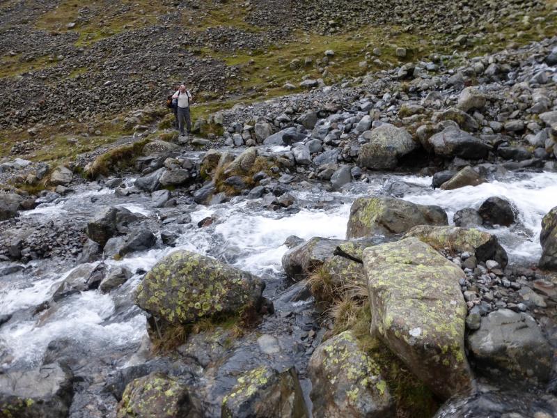
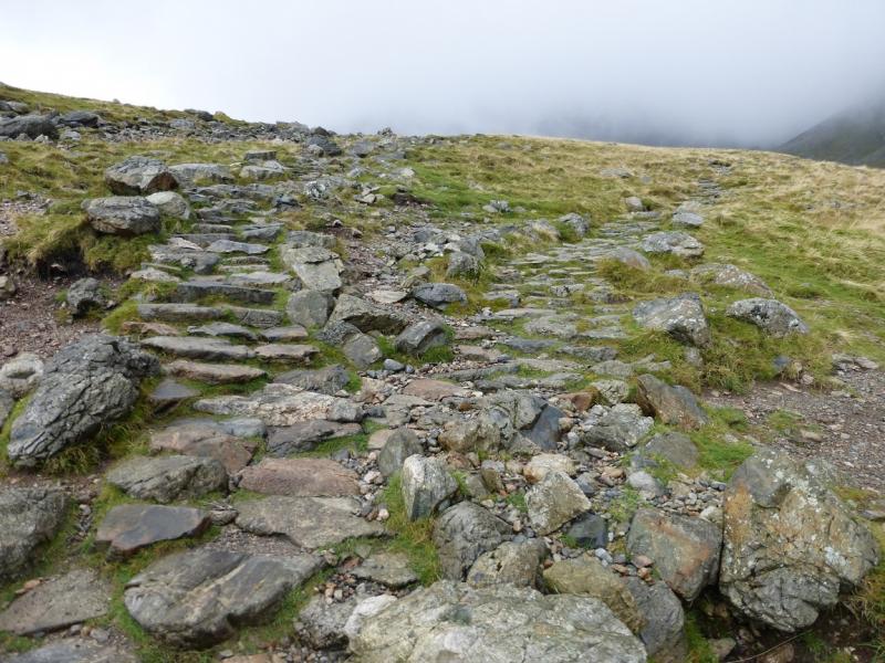
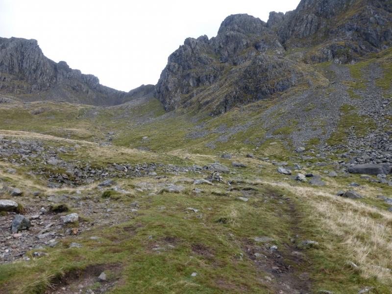
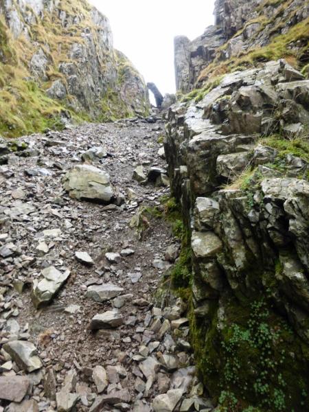
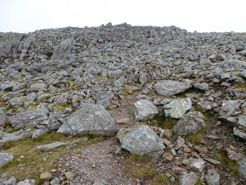
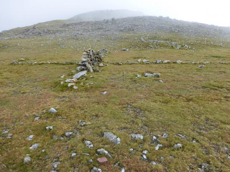
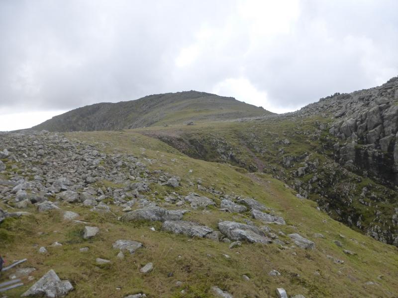
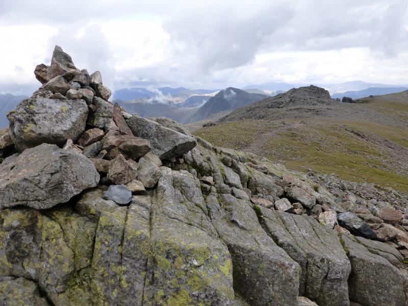
(1) From the car park, continue up the track to reach a bridge. Do not cross it but continue up with the stream on your right. Further on, pass a footbridge over the stream. Just beyond here, go through a gate. The main “tourist” path continues with the stream on the right. Follow this going through another gate a bit further on where the path from Wasdale Head joins from the left. Continue up until the crossing of Lingmell Gill is reached. Normally, this is easy, but after rain it may be necessary to divert upstream to avoid wet feet. Once across, continue up the obvious path for about 75- m to where the path splits into two equal looking paths. Take the right fork (straight on) and follow it up towards Mickledore – the dip between Scafell Pike and Scafell. The path is stepped much of the way. When the steps stop at a cairn some way short of Mickledore, look for a faint path going up the scree on the right. This goes up to the start of Lord's Rake which is not seen until its bottom is reached. It is a long scree gully with the perched boulder/flake at its top. Carefully, pick a way up this gully taking advanatge of some holds on the side walls. Pass the boulder without any great difficulty. Descend a short distance then ascend again to the second top. A longer descent now follows then a longer ascent which is considerably eroded so it might be easy to use the grass on the left. Reach the top of Lord's Rake then turn leftllow the path up the stony slopes to the shallow dip between Symond's Knott and Scafell summit. Here there is a cross made of stones laid out on the ground with a short wall on part of it. Turn left and ascend over an awkward boulder field to reach the small cairn which is Symond's Knott, 959 m.
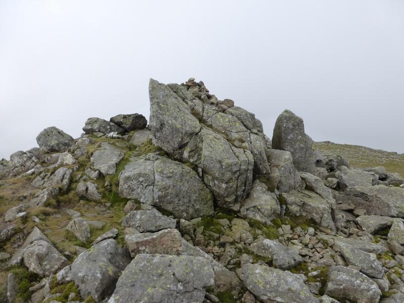
(2) Descend back to the grassy area then take a short detour E, along the edge, to look down Deep Ghyll. Return to the cross and continue, on a path, to reach a small cairn, on an outcrop, which is the summit of Scafell, 964 m. There is a shelter cairn just beyond and a further, lower, cairn further still.
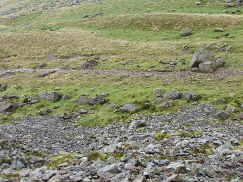
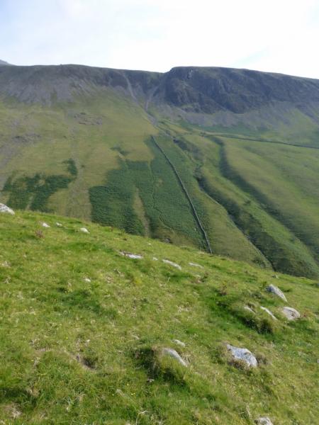
(3) Retrace towards the cross but, before reaching it, there is a path going left, W, down the W flank. Follow this twisting and turning path, with a fair few cairns, down to a more level grassy area. Continue easily until the path turns off the ridge down towards Wasdale Head. This section of path is steep, loose and badly eroded so proceed very slowly and cautiously. Many people slip on this section. Eventually reach a stile, beyond which easier grassy slopes lead down to the path past Brackenclose and then to the car park.
Notes
(a) This walk took place on 12th October, 2014, and many times previously.
(b) It might be a good idea to avoid the steep descent path off the W ridge by staying on the crest where the gradient is less steep. Continue down until, the track from Burnmoor Tarn to Wasdale Head is reached and walk down it easily. This alternative has not been checked out.
Photos - Hover over photo for caption. Click on to enlarge. Click on again to reduce.