Get Lost Mountaineering
You are here: England » Lake District » Outlying Fells
Ponsonby Fell & Swainson Knott (W)
Ponsonby Fell & Swainson Knott from Stakes Bridge
Start/Finish
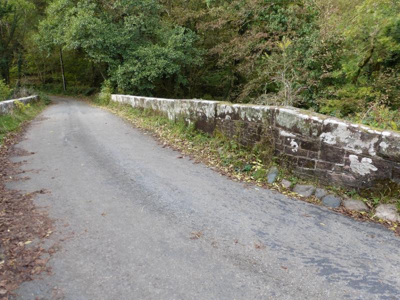
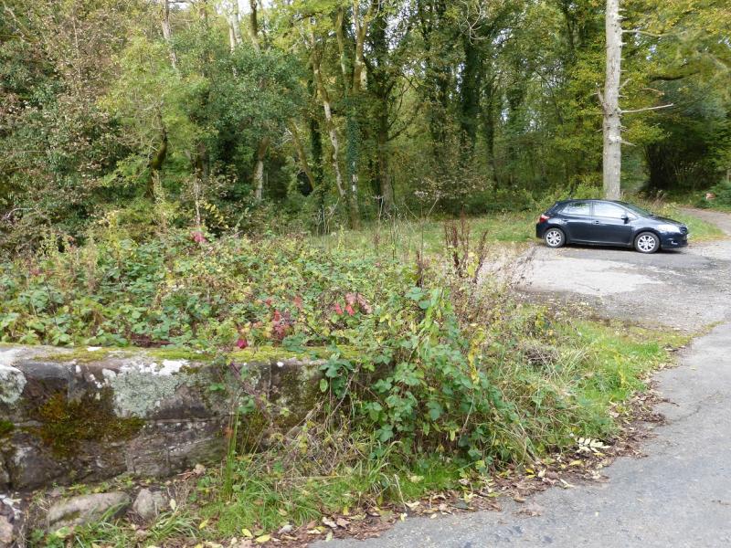
Stakes Bridge where there is parking for about 4 cars just after the bridge. From Calder Bridge on the A595 Cumbrian coast road between Egremont and Gosforth, take the minor road north for Ennerdale Bridge. When the road turns left go straight on up a more minor road. The first bridge across the River Calder is Stakes Bridge.
Distance/Time
10 km About 3 hours
Peaks
Ponsonby Fell, 310 m, NY 082 071
Swainson Knott, 340 m, NY 079 083. OL6 South Western Lakes
Introduction
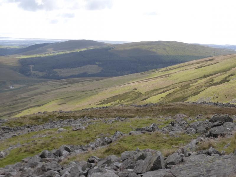
This is a pleasant walk over easy terrain on two of Lakeland's outlying fells. The hills themselves are fairly non-descript but they offer fine views, especially to Seatallan, Illgill Head and Whin Rigg. Part of the early section of path goes through brambles but the going is passable.
Route
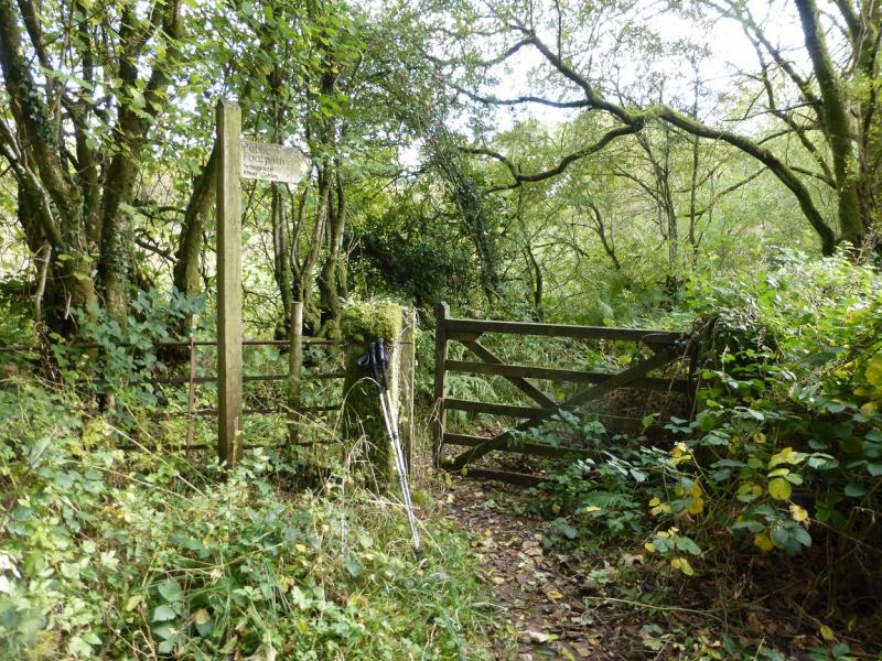
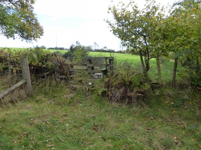
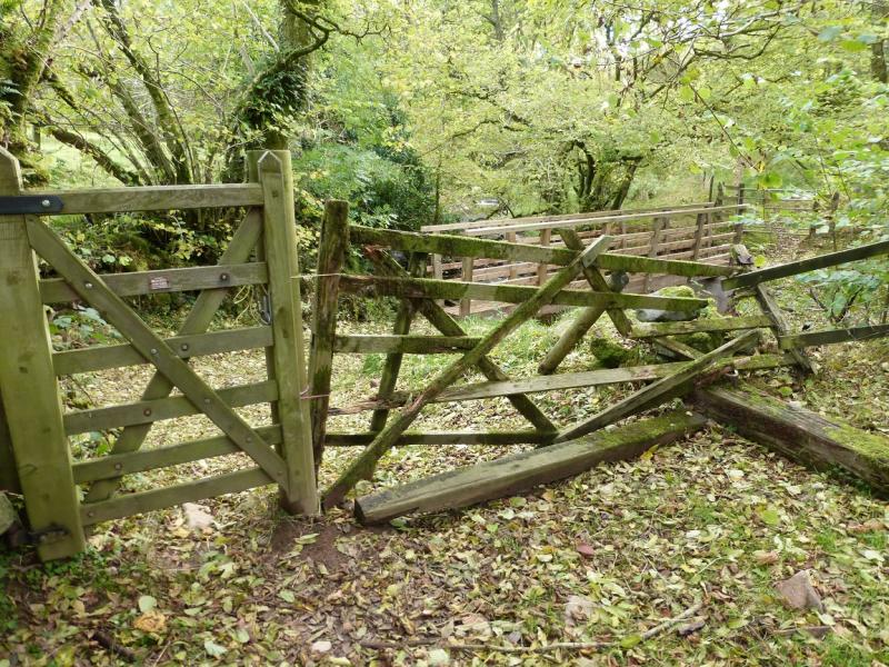
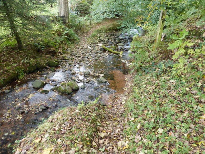
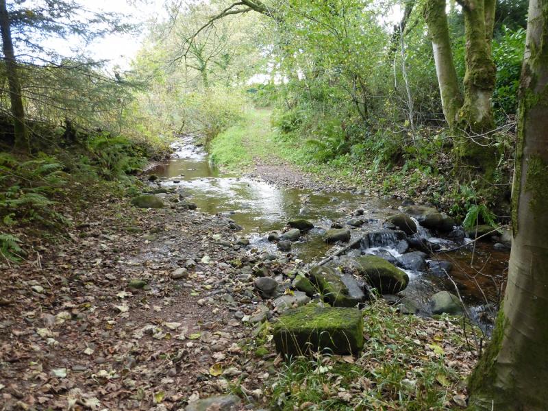
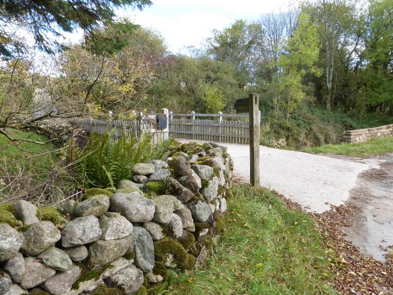
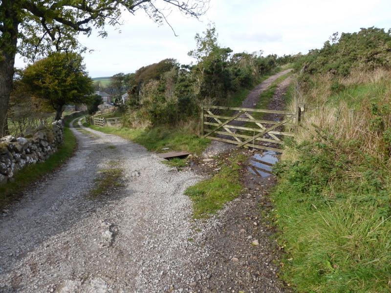
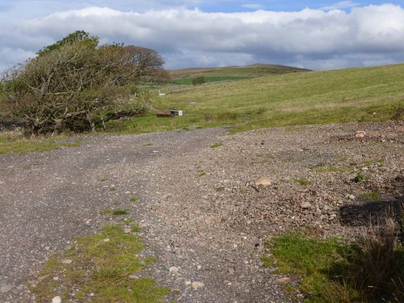
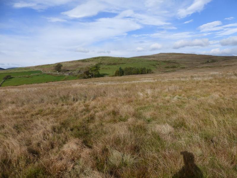
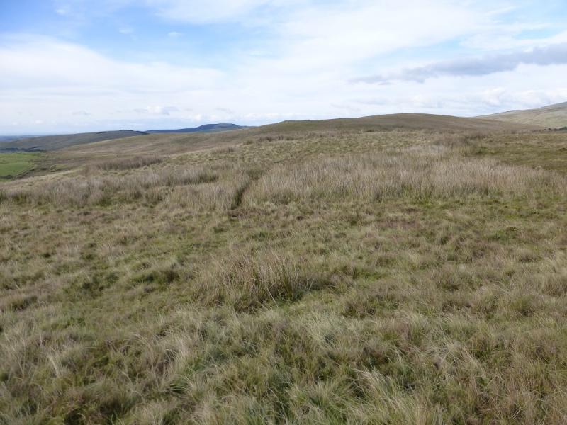
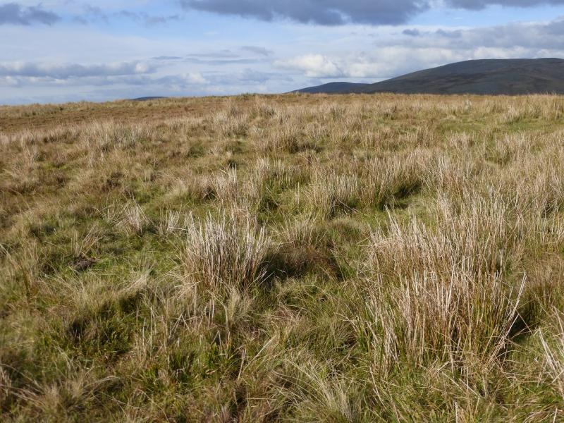
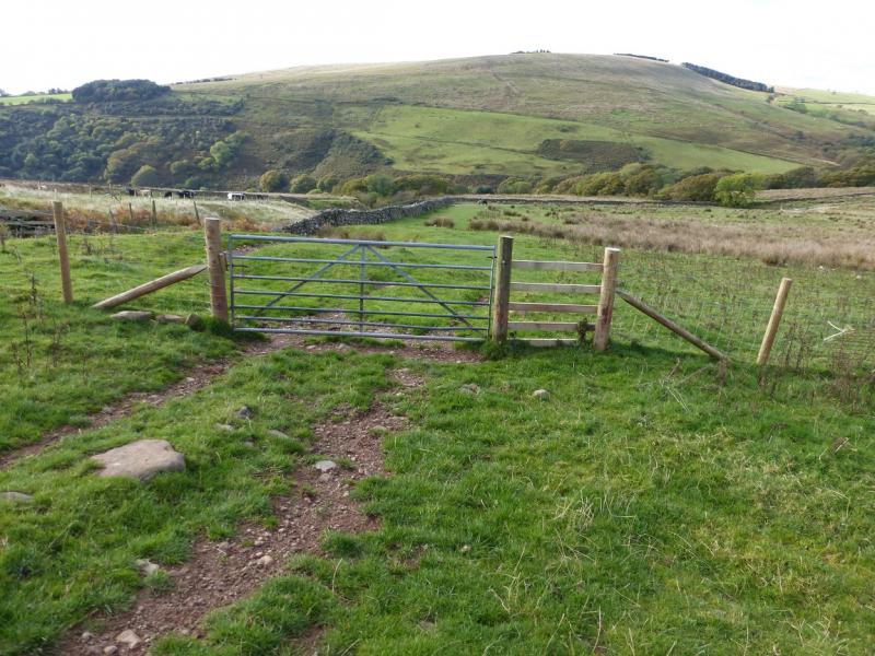
(1) Walk up the road less than 10 m to a public footpath sign pointing SE. Follow this to a gap in the wall on the right. Do not go through the gap but follow the path up a gentle bank heading SE. Soon, Scargreen Beck will be seen on the right. The beck is going to be followed until a minor road is met near Scargreen. Follow the path along the N bank crossing a stile then reaching a bridge to the S bank. Follow the path on the S bank which fords the beck then refords soon after. Continue on the S bank and soon reach the minor road before Scargreen. Almost immediately, turn left and cross a vehicle bridge on a bridleway signed for Scalderskew. After about 500 m, the main track forks left for Laverock How but the route goes straight on through a gate. Continue on this minor bridleway which follows a wall but soon becomes more grassy then quite indistinct so one may end up walking through rough meadows.. Ponsonby Fell is almost directly ahead and only about 60 m higher. The old ruin of Farmery is across Birret Sike (stream) to the left. The walls/fences on the 25 000 map (SW Lakes) help. Pick a way easily up to Ponsonby Fell on a hint of a path to reach a small cairn hidden in the clumps of grass which is the summit of Ponsonby Fell, 310 m.
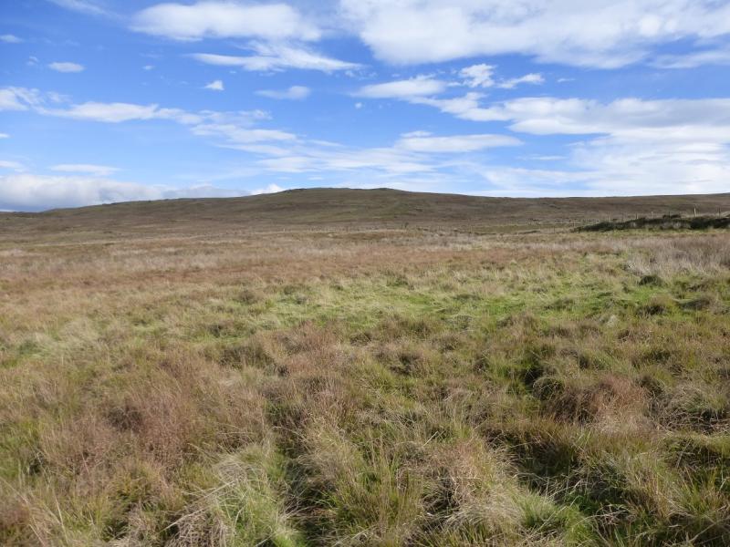
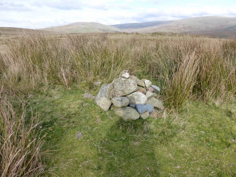
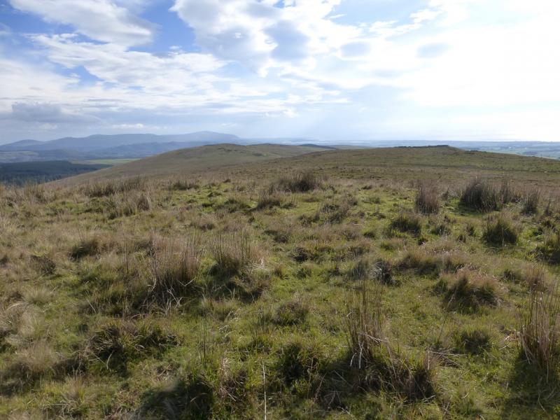
(2) Descend NNE down gentle grassy slopes, crossing the bridleway. Go through a gate in a stone wall (may have to climb over) then follow a barbed wire fence (on the right) up the hill. There is no stile over this fence but there is no need to cross it unless one wishes to visit Stone Pike sheep enclosure. Continue N, up easy grassy slopes, to a small grassy plateau where there is no cairn or obvious highest point but this is Swainson Knott, 340 m. On 13/10/14, what looked like a small cairn above a small peat bank turned out to be a pile of sheep bones!
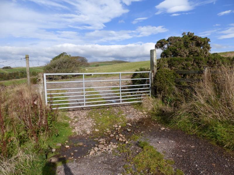
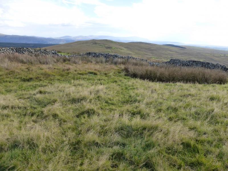
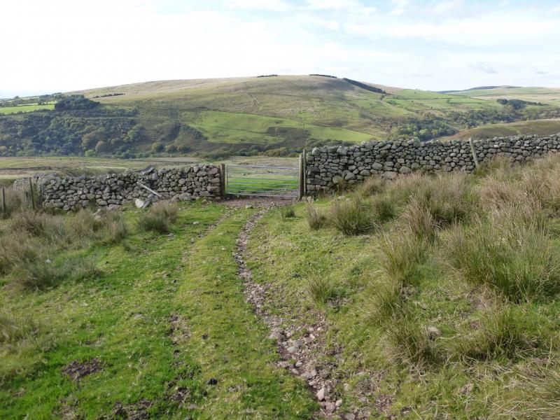
(3) Descend W to the corner of the wall by Needless Gill. A track goes through a gate and continues to a lower gate and then to the road. Turn left, SW, on to the road and walk back to the start.
Notes
(a) This walk took place on 13th October, 2014.
Photos - Hover over photo for caption. Click on to enlarge. Click on again to reduce.