Get Lost Mountaineering
You are here: England » Lake District » 4 Southern Fells
Lingmoor Fell
Lingmoor Fell from Great Langdale
Start/Finish
Car park (Pay and Display) in Great Langdale, roughly opposite the New Dungeon Ghyll Hotel. This is about 2 miles beyond Chapel stile. The car park can fill up quickly at peak times of the year.
Distance/Time
12 km About 4 - 5 hours
Peaks
Lingmoor Fell, 469 m, NY 303 046. OS 90 Penrith & Keswick
OL6 South Western Lakes OL 7 South Eastern Lakes
Introduction
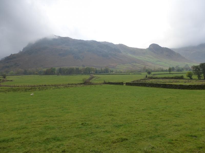
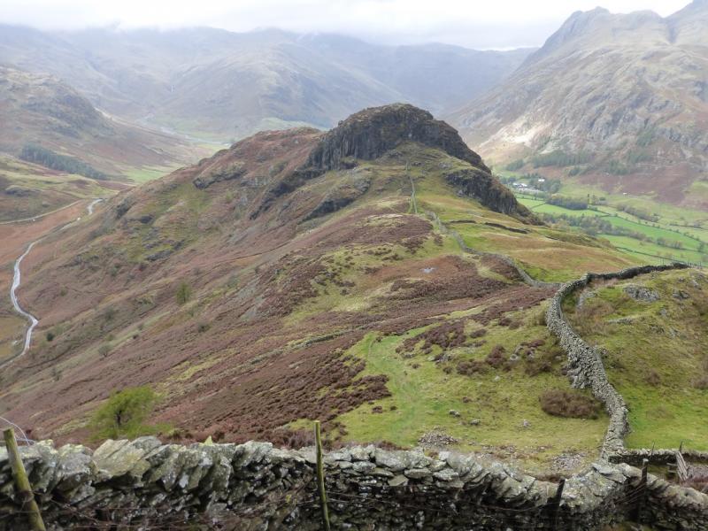
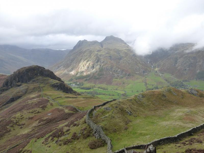
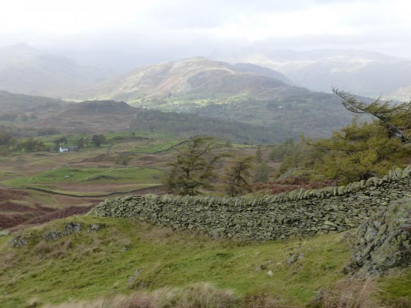
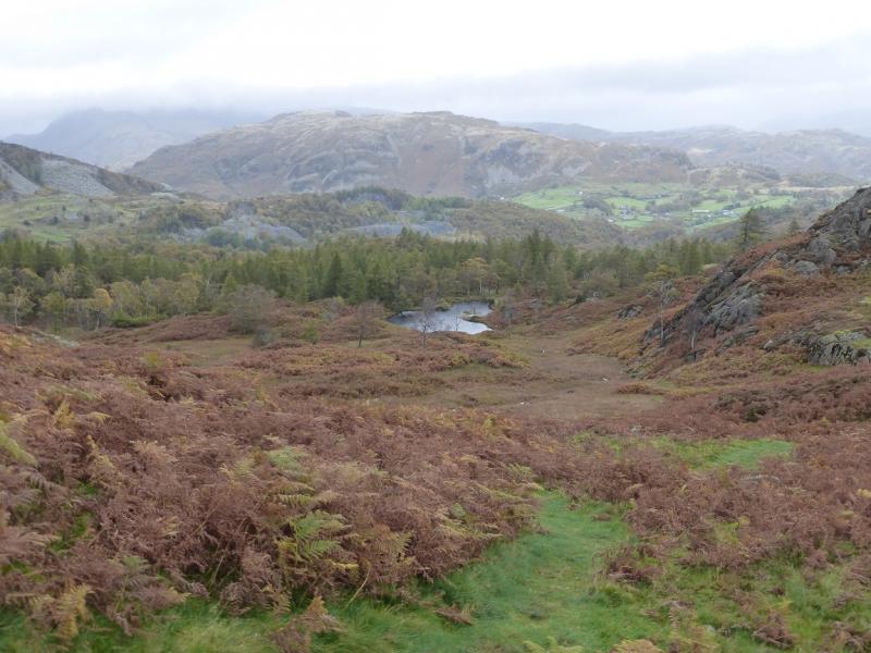
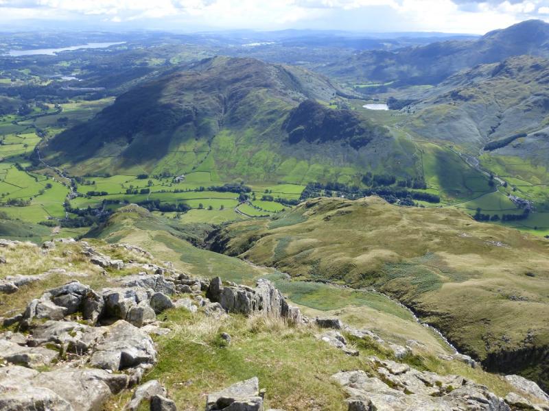
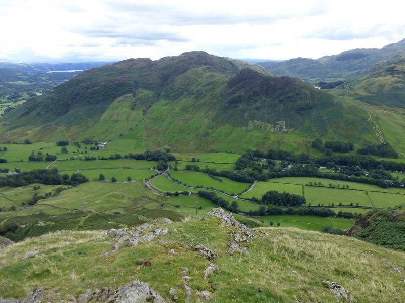
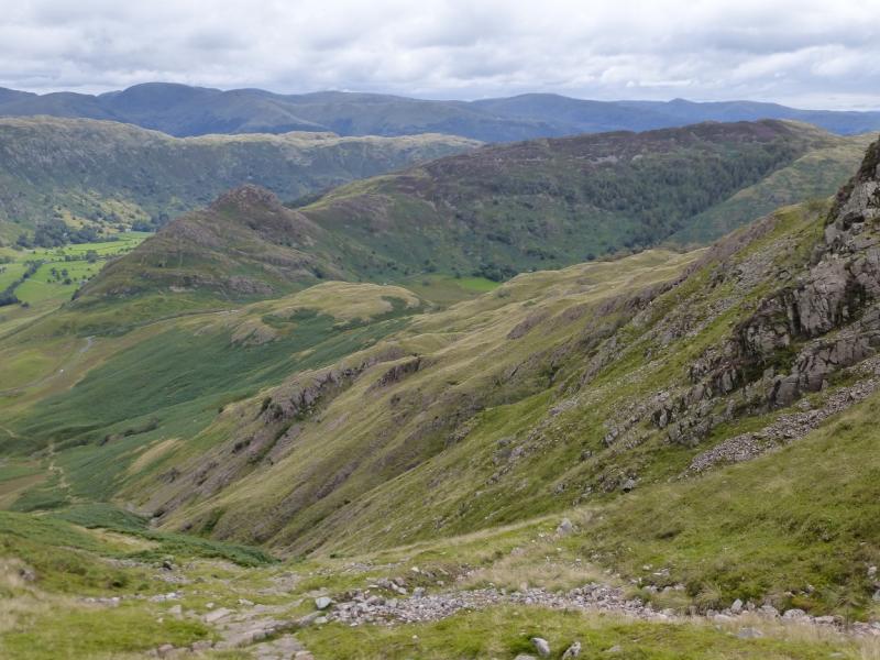
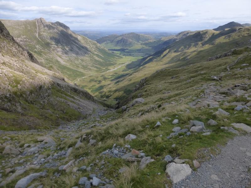
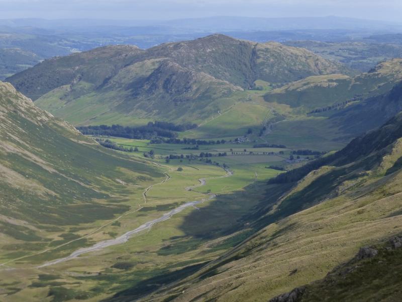
Lingmoor Fell sits like an “island” between Greater Langdale and Little Langdale with a road all the way around it. Its situation gives, on a clear day, excellent views of the surrounding fells including the Langdale Pikes, Pike of Blisco, Crinkle Crags and Wetherlam not to mention Windermere. Side Pike is an extra bonus but care must be taken to avoid its steep crag. Unfortunately, if using the 1:25 000 maps, then two sheets are needed. It might be easier just to use OS 90. As this is a circular route, it could also be started at Chapel Stile or anywhere in between.
Route
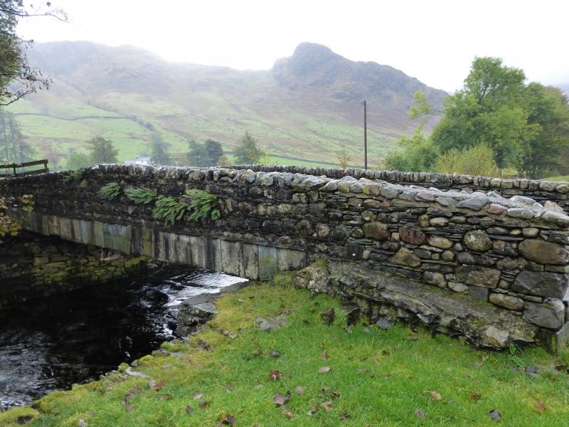
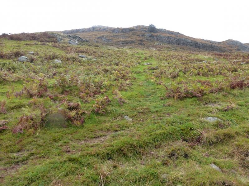
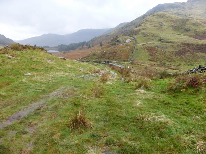
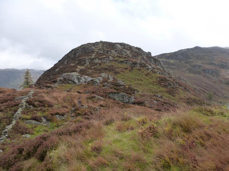
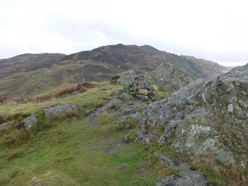
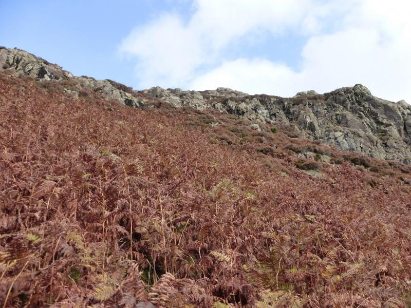
(1) From the car park opposite the New Dungeon Ghyll hotel, walk up the road for a short distance until reaching the track for Side House. This soon crosses the Great Langdale Beck. Continue to the buildings then go the their left (footpath arrow). Once past the buildings, take the path going WSW up the Langdale valley. This crosses a few stiles before reaching a wood. Beyond the wood, a good path leads up the hil, slowly converging with the road. Just before the cattle grid on the road is reached, a path forks left. Follow this up, crossing much rock, which can be slippery after rain, to reach a small cairn below the summit. Go left and soon reach the medium cairn which is the summit of Side Pike, about 320 m.
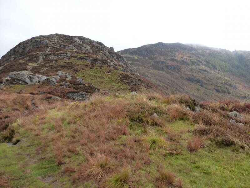
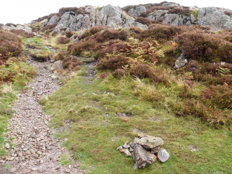
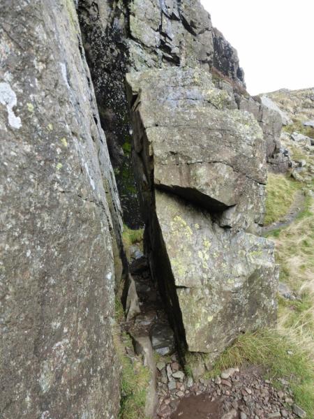
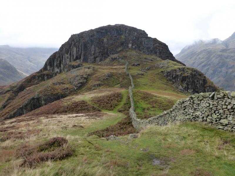
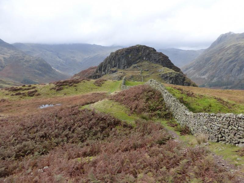
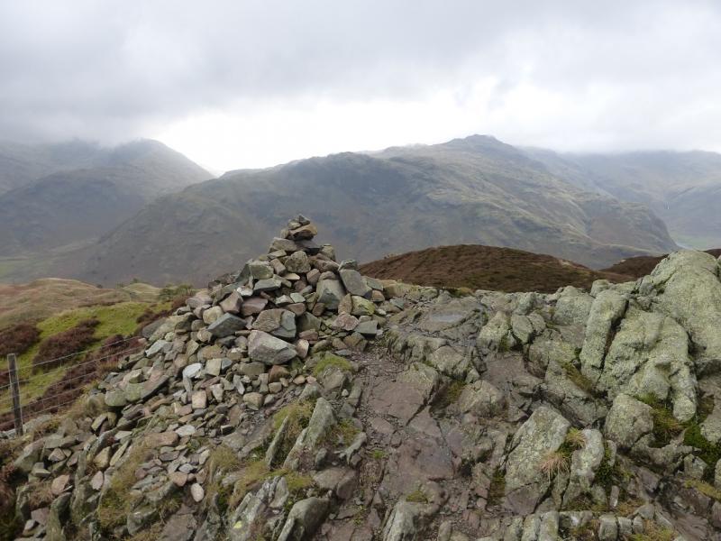
(2) Those who are not happy on exposed rock should return to the small cairn then follow the path around and below the crags. The more adventurous can follow a path from the summit going roughly SE which soon encounters some easy, but exposed, rocky steps before meeting the easier path. Follow the path, exposed in places, below the crags until a crevice is reached. This is too narrow to pass through wearing a rucksack so take it off and carry it through. There is an alternative just to the right but this goes down small awkwardly sloping “steps” and is much harder than the crevice. Some people call the crevice “Fat Man's Agony” for obvious reasons! Once past the crevice, continue along the crest towards Lingmoor Fell with a wall being a useful guide. After a stile, there is a choice between a path (left) and rocky “steps” (right). Both converge soon after. The path offers more variations later on; it is probably better to take any options away from the wall where it can become a little cramped. Continue up to reach a medium cairn which is the summit of Lingmoor Fell, 469 m.
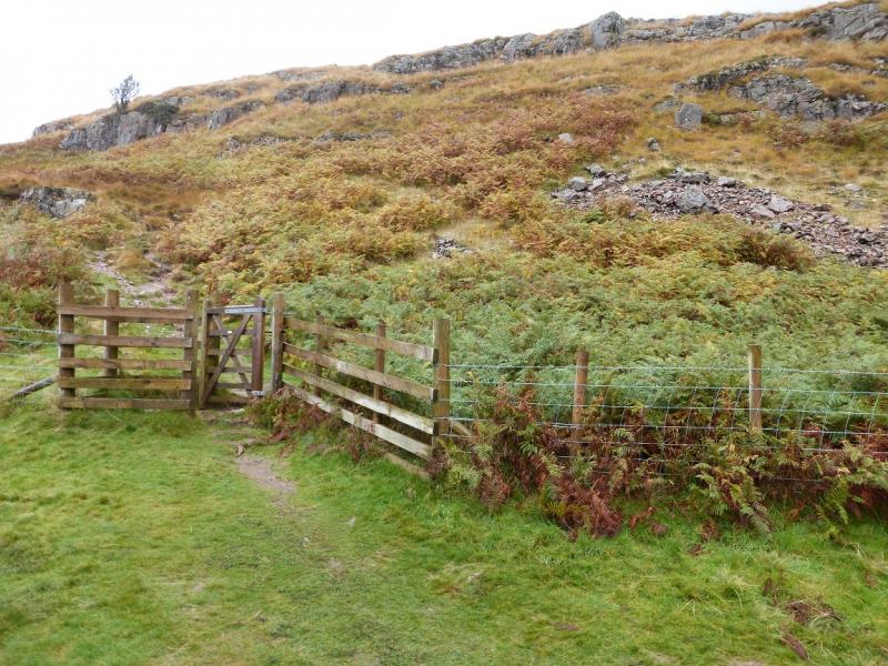
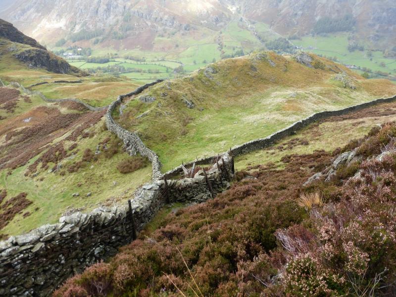
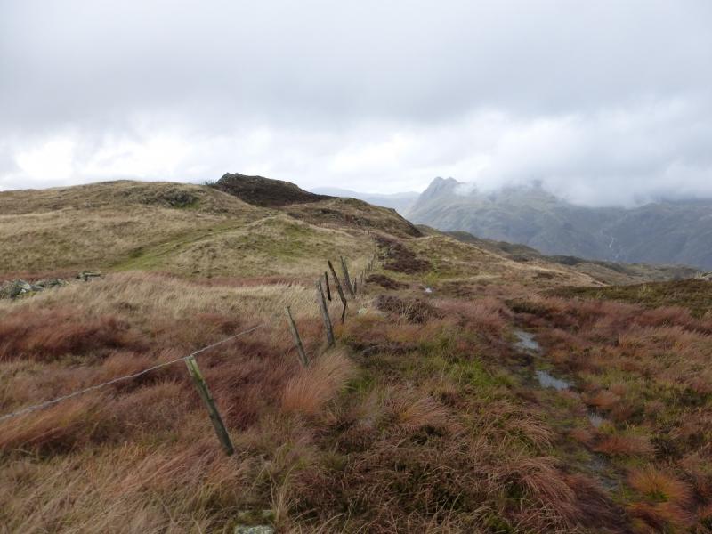
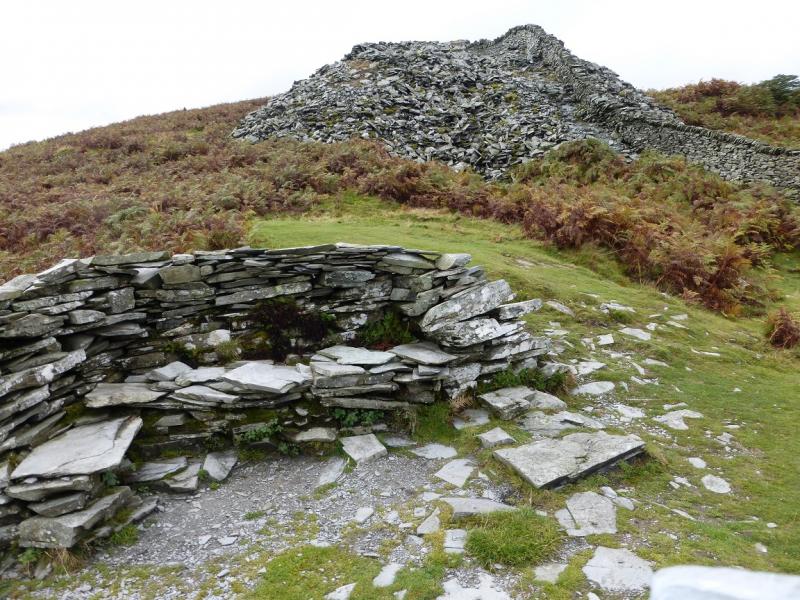
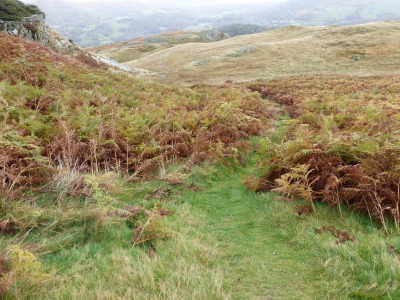
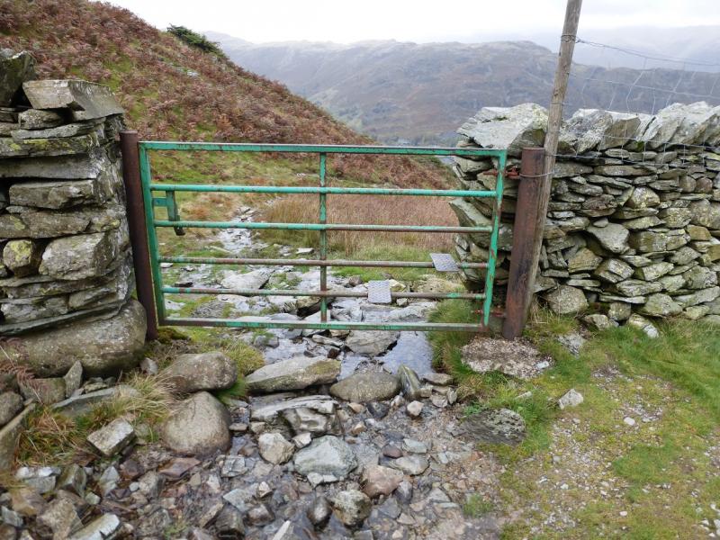
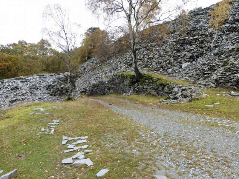
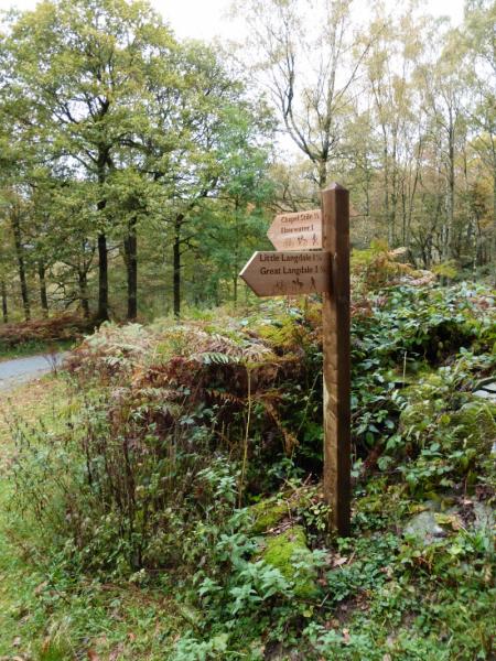
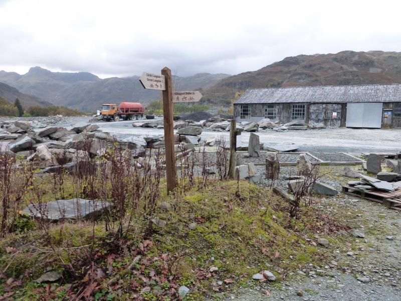
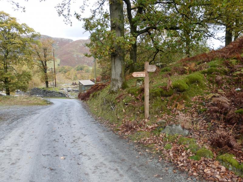
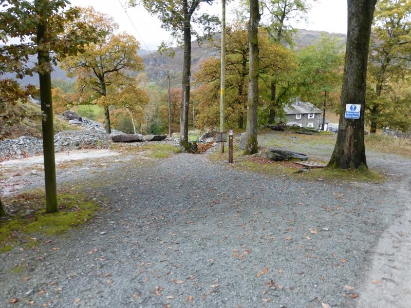
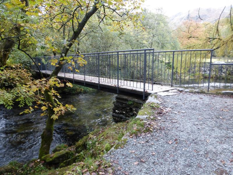
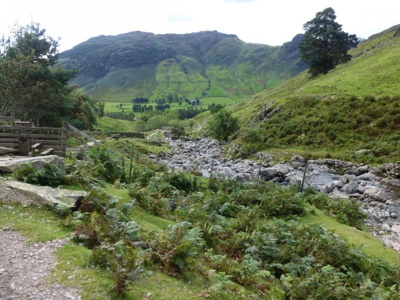
(3) Cross the fence near to the summit and follow it along the crest. It becomes a wall then a fence again. Stay on the main path which starts descending down a good wide grassy path with the wall on the left. Not far down is a suitable place, like a stone bench, to take a rest. Continue down and soon take a left fork, before a small cairn, which leads down to a green metal gate with a stile over it. Cross the stile and follow the path down which soon becomes a grassy track then a proper track which passes the old spoil heaps from previous slate quarrying. The track leads down to a tarmac road where a signboard points the way to Chapel Stile. The way leads through a quarry with further signboards pointing the way down, eventually reaching a bridge over the Great Langdale Beck which gives access to the Langdale Valley road. Turn left and follow the road into Chapel Stile where the Brambles Cafe, above the Co-Op, is a pleasant place to take a break. To return to the start, take the path/track to Baysbrown Campsite then continue on the path to Side House, essentially following the river. From Side hOuse, retrace the outward route back to the car park.
Notes
(a) This walk took place on 17th October, 2014, and many times previously.
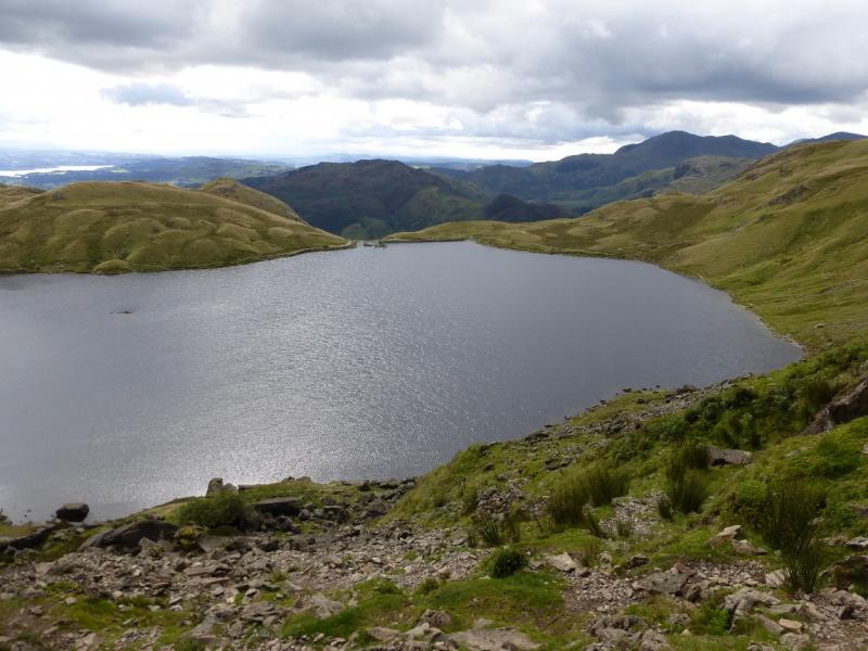
Photos - Hover over photo for caption. Click on to enlarge. Click on again to reduce.